 Block
Scitico, Connecticut
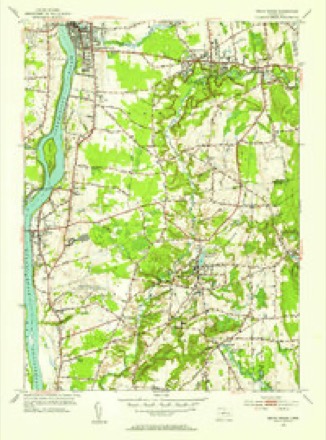
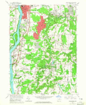
34 topographic sheets cover this place, the earliest surveyed in 1892 and the latest in 1994. It stands in Enfield town. It lies in ZIP code area 06082. It stands on Terry Brook. The Survey maps it on the Broad Brook quadrangle.
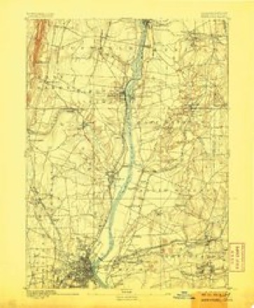
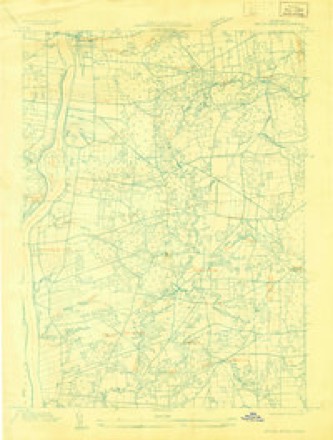
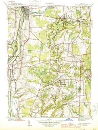
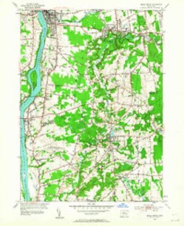
Topographic sheets covering this place
14 surveys from 34 printed sheetsMatched by testing this settlement's coordinate against the published boundary of every sheet in the United States Geological Survey's historical collection. Each opens the scanned sheet at the Survey.
- 1892 USGS Hartford quadrangle1:62500, 8 printings
- 1906 USGS Farmington quadrangle1:125000, 2 printings
- 1928 USGS Broad Brook quadrangle1:24000
- 1944 USGS Broad Brook quadrangle1:31680, 3 printings
- 1947 USGS Hartford quadrangle1:250000, 2 printings
- 1948 USGS Hartford quadrangle1:250000, 2 printings
- 1953 USGS Broad Brook quadrangle1:24000, 2 printings
- 1953 USGS Broad Brook quadrangle1:31680, 2 printings
- 1961 USGS Hartford quadrangle1:250000
- 1962 USGS Hartford quadrangle1:250000, 3 printings
- 1964 USGS Broad Brook quadrangle1:24000, 3 printings
- 1965 USGS Hartford quadrangle1:250000, 2 printings
- 1986 USGS Hartford quadrangle1:100000
- 1994 USGS Hartford quadrangle1:100000, 2 printings








In the county-history sources
10,339 words on this townshipThe Memorial History of Hartford County, Connecticut, 1633-1884;, published 1886 names this settlement in its chapter on Enfield Town. These are the passages that mention it, exactly as the scans read.
No essential change in the conduct of affairs was made upon the retirement of the committee. The town continued to admit new inhabitants upon the conditions which the committee had fixed, laid out new roads as they were needed, and attended to the improvement of the lands already granted. This last matter required frequent attention, as the grantees of lots often failed to build and settle according to agreement. So serious had the case become, even before the committee laid down their work, that " the place was oppressed for w\ant of inhabitants." The solution of the difficulty was found in the forfeiture of several grants and the allotment of the same to others, who were willing to become inhabitants and to improve the land. The increase of population led to the settlement of other parts of the township. About 1692 the land in the south part of the town began to be taken up. In 1706 a settlement was made in the east part of the town (now Somers) by families from the Centre. About the year 1713 settlements were made in those parts of the plantation now known as Scitico and Wallop. By the year 1720, only forty years after John Pease and his two sons reached Freshwater, the whole township was thinly settled.
Passage source: The Memorial History of Hartford County, Connecticut, 1633-1884;, published 1886.
Until 1754 one school had sufficed for the whole town. In that vear the town was divided into five districts, Wallop, Scitico, North End, South End, and the Centre, and the sum of .£500 was voted for new school-houses. This multiplication of schools greatly increased the expenses of the town. Frequently the amount raised for this purpose was double that for all other town expenses. As the population has increased, new districts have been organized and new schools established, so that at the present time there arc twenty-six schools supported by the toAvn. Of these, three are high schools, - one in each of the three villages, - and are a blessing and honor to the town. Into these twenty-six schools are gathered eleven hundred children, and for their support twelve thousand dollars are spent annually. Besides these public schools, there are several parochial and private schools, attended by five hundred children and supported at an unknown expense.
Passage source: The Memorial History of Hartford County, Connecticut, 1633-1884;, published 1886.
Machine-read from a century-old scan, so expect the errors a machine makes: misspelled names, dropped words, stray characters.
Fires near this place
73 since 1999Regional context, not property-specific evidence. The federal wildfire occurrence database lists 73 fires within 5 miles of Scitico between 1999 and 2020, burning about 56 acres in total. 2 started naturally. 2 were recorded as arson. Distance is straight-line from the map coordinates, so a fire counted here may appear on a neighbouring settlement's page as well.
| Reported cause | Fires |
|---|---|
| Missing data/not specified/undetermined | 45 |
| Smoking | 9 |
| Debris and open burning | 6 |
| Recreation and ceremony | 6 |
| Arson/incendiarism | 2 |
| Natural | 2 |
| Equipment and vehicle use | 2 |
| Fireworks | 1 |
The most recent of them, most recent first, with the day each was reported and the service that recorded it.
| Date | Cause | Size | Reported by | Name on the report |
|---|---|---|---|---|
| 8 September 2007 | Natural | under an acre | Connecticut Division of Forestry | not named |
| 7 September 2015 | Missing data/not specified/undetermined | under an acre | Connecticut Division of Forestry | not named |
| 7 September 2015 | Missing data/not specified/undetermined | under an acre | Connecticut Division of Forestry | not named |
| 27 September 2007 | Missing data/not specified/undetermined | under an acre | Connecticut Division of Forestry | not named |
| 25 September 2007 | Missing data/not specified/undetermined | under an acre | Connecticut Division of Forestry | not named |
| 19 September 2015 | Missing data/not specified/undetermined | under an acre | Connecticut Division of Forestry | not named |
| 4 August 2015 | Missing data/not specified/undetermined | under an acre | Connecticut Division of Forestry | not named |
| 3 August 1999 | Arson/incendiarism | 4.0 acres | Connecticut Division of Forestry | not named |
Settlements close enough to share some of these fires:
Mines and quarries near this place
10 of 14 shownRegional context, not property-specific evidence. The federal mineral resources record lists 14 workings within 5 miles of Scitico: 7 producers, 7 past producers. 7 still produce. What was taken out: Sand and Gravel, Construction, Stone, Dimension, Stone, Crushed/Broken, Flagstone. Distance is straight-line from the map coordinates, so a quarry counted here may appear on a neighbouring settlement's page as well.
| Where | Site | Commodity | Status | Recorded |
|---|---|---|---|---|
| Sandstone Quarry | Flagstone | Past Producer | ||
| Silicified Fault Rock Quarry No. Bi-001 | Stone, Crushed/Broken | Past Producer | ||
| Paving Material Quarry | Stone, Dimension | Past Producer | ||
| Sandstone Quarry | Stone, Dimension | Producer | Sandstone | |
| Billings Road Pit | Sand and Gravel, Construction | Past Producer | ||
| Chapman Sand and Gravel | Sand and Gravel, Construction | Past Producer | ||
| Chase Pit | Sand and Gravel, Construction | Producer | ||
| E. Foster Hyde Pit | Sand and Gravel, Construction | Producer | ||
| E. Foster Pit | Sand and Gravel, Construction | Past Producer | Sedimentary | |
| Ellington Pit | Sand and Gravel, Construction | Producer |
Storms near this place
1 since 2020Regional context, not property-specific evidence. The National Weather Service names Scitico in 1 storm report in 2020: 1 thunderstorm wind. No death or injury is recorded in these reports. Each account below is quoted exactly as the forecast office filed it, from the NOAA Storm Events Database, and each date opens the federal record of that event.
| When | Event | Place named | Harm | What the report says |
|---|---|---|---|---|
| June 2020 | Thunderstorm Wind | Scitico | - | In Enfield, on Hunter Lane, a trained spotter reported a wind gust to 58 mph. |
Nearest settlements
The eight closest, with where each one stands in the county. Distances are straight-line, computed from the Geographic Names Information System coordinates.
| Map | Place | Distance | Sheets |
|---|---|---|---|
| Hazardville | 1.6 miles | 34 | |
| Crescent Grove (historical) | 2.8 miles | 50 | |
| Shaker Pines | 3.2 miles | 50 | |
| Sherwood Manor | 3.2 miles | 50 | |
| Melrose | 3.3 miles | 34 | |
| Southwood Acres | 3.3 miles | 34 | |
| Brainerd Park | 3.9 miles | 50 | |
| Enfield | 4.1 miles | 34 |
Provenance
This settlement is recorded in the Geographic Names Information System as feature 210703. The sheet list is computed by point-in-boundary test against the United States Geological Survey's historical topographic inventory. Both are works of the United States government and carry no copyright under 17 U.S.C. 105.
Wildfire. Short, Karen C. 2022. Spatial wildfire occurrence data for the United States, 1992-2020 [FPA_FOD_20221014]. 6th Edition. Fort Collins, CO: Forest Service Research Data Archive. https://doi.org/10.2737/RDS-2013-0009.6 Collected with United States Government funding and usable without additional permissions or fees.
Mines and quarries. USGS Mineral Resources Data System (MRDS) https://mrdata.usgs.gov/mrds/ A work of the United States government, no copyright under 17 U.S.C. 105.
Storms. NOAA National Centers for Environmental Information, Storm Events Database https://www.ncei.noaa.gov/stormevents/ A work of the United States government, no copyright under 17 U.S.C. 105. Narratives are quoted verbatim from the National Weather Service report and are not edited or summarised.