 Block
South Coventry, Connecticut
31 topographic sheets cover this place, the earliest surveyed in 1892 and the latest in 1994. It stands in Coventry town. It lies in ZIP code area 06238. It stands on Dunham Pond Brook. The Survey maps it on the Coventry quadrangle. 1,612 people lived here at the 2020 count. It stands 525 feet above sea level.
On record in South Coventry
Buildings and businesses the archive holds for this place. Each opens its own page, with the source record it came from.
On the National Register within a mile 3 records
The National Register names another town for these. They stand within one mile of this settlement's coordinate.
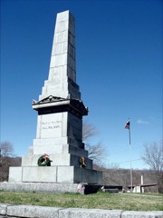 Captain Nathan Hale Monumentlisted 2002 · 0.2 miles away
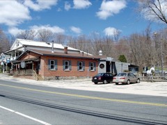 South Coventry Historic Districtlisted 1991 · 0.4 miles away
 Capron-Phillips Houselisted 1982 · 0.4 miles away
Population over time
3 figuresSouth Coventry grew from 1,381 to 1,612 between 2000 and 2020. These are the recorded population figures Wikidata holds for this place, reached through the Geographic Names Information System number this page is keyed on rather than by name, so they belong to this place and not to another of the same name. Most are census counts, but not all are: an early figure may be a founding or settlement estimate, and an estimate published within five years of a census is left out. The change column is computed, and is left blank where more than 20 years separate a figure from the one before it, because a gap that long is not a change between two counts.
| Year | People | Change |
|---|---|---|
| 2000 | 1,381 | |
| 2010 | 1,483 | +102 (+7%) |
| 2020 | 1,612 | +129 (+9%) |
Topographic sheets covering this place
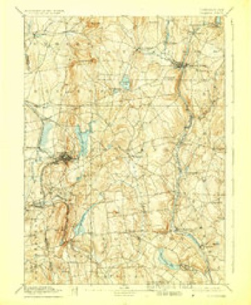
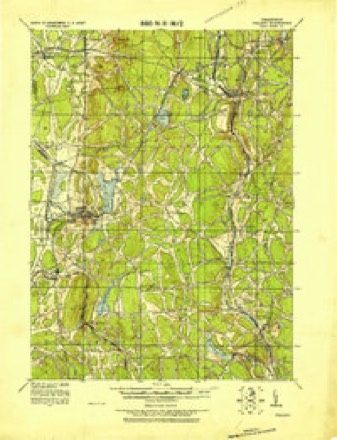
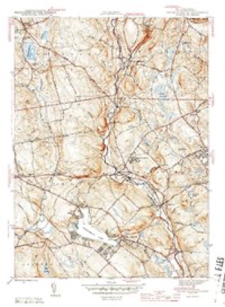
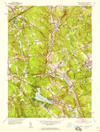
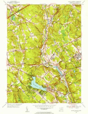
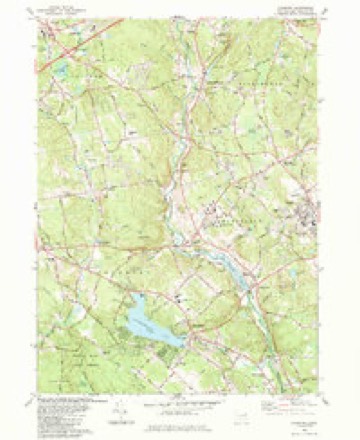
13 surveys from 31 printed sheetsMatched by testing this settlement's coordinate against the published boundary of every sheet in the United States Geological Survey's historical collection. Each opens the scanned sheet at the Survey.
- 1892 USGS Tolland quadrangle1:62500, 7 printings
- 1921 USGS Tolland quadrangle1:62500
- 1944 USGS South Coventry quadrangle1:31680, 3 printings
- 1947 USGS Hartford quadrangle1:250000, 2 printings
- 1948 USGS Hartford quadrangle1:250000, 2 printings
- 1953 USGS South Coventry quadrangle1:24000, 4 printings
- 1953 USGS South Coventry quadrangle1:31680
- 1961 USGS Hartford quadrangle1:250000
- 1962 USGS Hartford quadrangle1:250000, 3 printings
- 1965 USGS Hartford quadrangle1:250000, 2 printings
- 1983 USGS Coventry quadrangle1:24000, 2 printings
- 1986 USGS Hartford quadrangle1:100000
- 1994 USGS Hartford quadrangle1:100000, 2 printings







Fires near this place
87 since 1992Regional context, not property-specific evidence. The federal wildfire occurrence database lists 87 fires within 5 miles of South Coventry between 1992 and 2020, burning about 98 acres in total. None started naturally. 3 were recorded as arson. Distance is straight-line from the map coordinates, so a fire counted here may appear on a neighbouring settlement's page as well.
| Reported cause | Fires |
|---|---|
| Missing data/not specified/undetermined | 57 |
| Debris and open burning | 14 |
| Smoking | 5 |
| Recreation and ceremony | 4 |
| Arson/incendiarism | 3 |
| Equipment and vehicle use | 2 |
| Misuse of fire by a minor | 1 |
| Power generation/transmission/distribution | 1 |
The most recent of them, most recent first, with the day each was reported and the service that recorded it.
| Date | Cause | Size | Reported by | Name on the report |
|---|---|---|---|---|
| 25 September 2020 | Recreation and ceremony | under an acre | Connecticut Division of Forestry | 60 HENNEQUIN ROAD |
| 7 August 2008 | Missing data/not specified/undetermined | under an acre | Connecticut Division of Forestry | not named |
| 10 August 2008 | Missing data/not specified/undetermined | under an acre | Connecticut Division of Forestry | not named |
| 7 July 2010 | Missing data/not specified/undetermined | 1.0 acres | Connecticut Division of Forestry | not named |
| 5 July 2010 | Missing data/not specified/undetermined | 1.0 acres | Connecticut Division of Forestry | not named |
| 3 July 2016 | Power generation/transmission/distribution | under an acre | Connecticut Division of Forestry | STAFFORD RD / STEARNS RD MANSFIELD CT |
| 3 July 2010 | Missing data/not specified/undetermined | 1.0 acres | Connecticut Division of Forestry | not named |
| 17 July 2010 | Missing data/not specified/undetermined | 1.0 acres | Connecticut Division of Forestry | not named |
Settlements close enough to share some of these fires:
Mines and quarries near this place
10 of 11 shownRegional context, not property-specific evidence. The federal mineral resources record lists 11 workings within 5 miles of South Coventry: 7 past producers, 3 producers, 1 unknown. 3 still produce. What was taken out: Sand and Gravel, Construction, Stone, Granite, Stone, Dimension. Distance is straight-line from the map coordinates, so a quarry counted here may appear on a neighbouring settlement's page as well.
| Where | Site | Commodity | Status | Recorded |
|---|---|---|---|---|
| Gneiss Rock Quarry No. Aj-003 | Stone | Past Producer | ||
| Quarry | Granite | Past Producer | ||
| Quarry | Stone, Dimension | Past Producer | ||
| Columbia Town Pit | Sand and Gravel, Construction | Past Producer | ||
| Coventry Pit | Sand and Gravel, Construction | Past Producer | ||
| Desiato Pit | Sand and Gravel, Construction | Unknown | ||
| Desiato Pit | Sand and Gravel, Construction | Producer | ||
| Mansfield Pit | Sand and Gravel, Construction | Producer | ||
| Perkins Corner Pit | Sand and Gravel, Construction | Past Producer | ||
| Richard Lee Pit | Sand and Gravel, Construction | Past Producer | Sedimentary |
Storms near this place
5 since 2019Regional context, not property-specific evidence. The National Weather Service names South Coventry in 5 storm reports between 2019 and 2023: 3 thunderstorm wind, 1 tornado, 1 hail. No death or injury is recorded in these reports. Each account below is quoted exactly as the forecast office filed it, from the NOAA Storm Events Database, and each date opens the federal record of that event.
| When | Event | Place named | Harm | What the report says |
|---|---|---|---|---|
| September 2021 | Tornado (EF0) | South Coventry | $40,000 | In Coventry, a short-lived tornado touched down near the intersection of South Street and Pucker Street, downing several large trees in a field. It had a discontinuous path as it traveled to the east-northeast across a wooded area, where it created pockets of tree damage. It then touched down again just north of the intersection of Flanders Road and Nathan Hale Drive, where it damaged power lines and then moved through another wooded area. At least 50 trees were damaged in this area, with many having their tops sheared off. More than a dozen trees were blown down. It appears that the tornado dissipated quickly after that, since no other significant damage was observed farther to the northeast. No homes in the area had any damage. Two residents reported hearing the tornado warning, moving to safety in their basement, and then about 15 minutes later hearing a loud wind that lasted just moments. The tornado is estimated to have been on the ground no more than 90 seconds. |
| August 2019 | Thunderstorm Wind | South Coventry | $1,300 | In the southern part of Coventry, trees were down on both sides of the bridge on Parker Bridge Road. Also wires down on a tree on Flanders Road. Time estimated based on radar. |
| August 2019 | Thunderstorm Wind | South Coventry | $1,000 | In Coventry, wires were down across Judd Road. Wires down in a tree at the intersection of Lakeview Drive and Hilltop Drive. Also, wires down in a tree on Depot Road. Time estimated based on radar. |
| November 2020 | Thunderstorm Wind | South Coventry | $800 | In Coventry, a tree and wires were down on South Street. |
| June 2023 | Hail | South Coventry | - | The public reported 0.75 inch diameter hail in South Coventry. |
Nearest settlements
The eight closest, with where each one stands in the county. Distances are straight-line, computed from the Geographic Names Information System coordinates.
| Map | Place | Distance | Sheets |
|---|---|---|---|
| Coventry | 0.0 miles | 31 | |
| Coventry Lake | 1.5 miles | 31 | |
| Eagleville | 1.9 miles | 31 | |
| Mansfield Depot | 2.2 miles | 31 | |
| Perkins Corner | 3.2 miles | 29 | |
| Merrow | 3.8 miles | 31 | |
| Mansfield City | 3.8 miles | 29 | |
| Storrs | 4.0 miles | 29 |
Elsewhere
Matched on this settlement's Geographic Names Information System number rather than its name, so it cannot be a different place of the same name in another state.
| Wikipedia article on South Coventry | An encyclopaedic summary. Its text is share-alike, so it is linked here rather than copied. |
| Wikidata item Q14715116 | The structured record the population and elevation above come from. Public domain (CC0). |
Provenance
This settlement is recorded in the Geographic Names Information System as feature 1867101. The sheet list is computed by point-in-boundary test against the United States Geological Survey's historical topographic inventory. Both are works of the United States government and carry no copyright under 17 U.S.C. 105.
Wildfire. Short, Karen C. 2022. Spatial wildfire occurrence data for the United States, 1992-2020 [FPA_FOD_20221014]. 6th Edition. Fort Collins, CO: Forest Service Research Data Archive. https://doi.org/10.2737/RDS-2013-0009.6 Collected with United States Government funding and usable without additional permissions or fees.
Mines and quarries. USGS Mineral Resources Data System (MRDS) https://mrdata.usgs.gov/mrds/ A work of the United States government, no copyright under 17 U.S.C. 105.
Storms. NOAA National Centers for Environmental Information, Storm Events Database https://www.ncei.noaa.gov/stormevents/ A work of the United States government, no copyright under 17 U.S.C. 105. Narratives are quoted verbatim from the National Weather Service report and are not edited or summarised.