 Block
Westfield, Connecticut
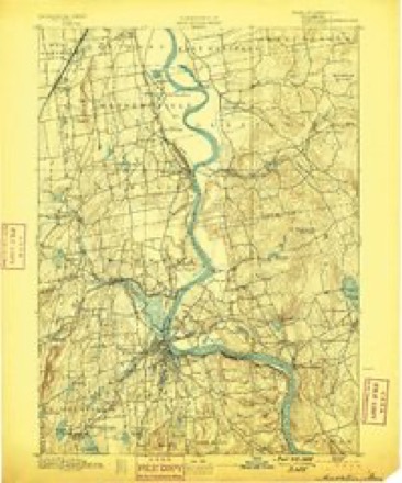
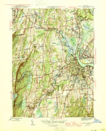
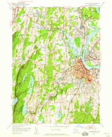
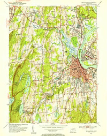
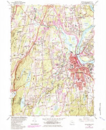
36 topographic sheets cover this place, the earliest surveyed in 1893 and the latest in 1994. It stands in Middletown town. It lies in ZIP code area 06457. It stands on East Minor Brook. The Survey maps it on the Middletown quadrangle.
Topographic sheets covering this place
14 surveys from 36 printed sheetsMatched by testing this settlement's coordinate against the published boundary of every sheet in the United States Geological Survey's historical collection. Each opens the scanned sheet at the Survey.
- 1893 USGS Middletown quadrangle1:62500, 10 printings
- 1906 USGS Farmington quadrangle1:125000, 2 printings
- 1928 USGS Cromwell quadrangle1:24000
- 1945 USGS Middletown quadrangle1:31680, 2 printings
- 1947 USGS Hartford quadrangle1:250000, 2 printings
- 1948 USGS Hartford quadrangle1:250000, 2 printings
- 1952 USGS Middletown quadrangle1:24000
- 1952 USGS Middletown quadrangle1:31680, 2 printings
- 1961 USGS Hartford quadrangle1:250000
- 1962 USGS Hartford quadrangle1:250000, 3 printings
- 1965 USGS Hartford quadrangle1:250000, 2 printings
- 1965 USGS Middletown quadrangle1:24000, 5 printings
- 1986 USGS Hartford quadrangle1:100000
- 1994 USGS Hartford quadrangle1:100000, 2 printings








In the county-history sources
26,473 words on this townshipHistory of Middlesex County, Connecticut, with Biographical Sketches of Its Prominent Men, published 1884 names this settlement in its chapter on Middletown Town. These are the passages that mention it, exactly as the scans read.
The J. O. Smith Manufacturing Company. - Where this factory now stands, in Westfield, Middletown, there was originally a cider brandy distillery, owned by Nathaniel Bacon. In 1826 the property was purchased by John Smith, who then began the japanning business, which is said to have been the first enterprise of the kind in the United States. In 1828 J. O. Smith, son of the above-named gentleman, succeeded his father in the business. From 1858 to 1878 the firm name was J. O. Smith & Sons - four of Mr. Smith's sons having at different times been members of the firm. It was re-organized in 1878 as a joint stock company, with J. O. Smith, as president; and H. E. Smith, secretary and treasurer. The incorporators were James O. Smith, Samuel C. Wilcox, of Berlin, Julius W. Burr, of Berlin, and Thomas B. . Odell, of New York. The capital stock was $30,000. The present officers are: Samuel C. Wilcox, of Berlin, president; H. E. Smith, secretary and treasurer. In 1874 the buildings were composed mostly of wood, being at that time one wooden two story structure 125 by 25 feet, one sledge and machine shop, and other one story buildings, with one brick block 80 by 21 feet, and covered quite an extensive area. These buildings were erected at different times, as the business increased and included an old village school house and a Baptist church, which were moved on to the grounds in former years. The fire which occurred in 1874 demolished all these structures except the old cider brandy distillery. Immediately after the fire, the works were rebuilt, mostly of brick, and now comprise five shops of the following dimensions: one 80 by 27 feet; one 103 by 21 feet; one 60 by 21 feet; and one 50 by 50 feet. The company manufacture signplates, japans for tin, iron, and wood enamels, and do a general japanning and enameling business. The sales room of the firm is at 51 John steet, New York city. About 45 hands are employed in the factories.
Passage source: History of Middlesex County, Connecticut, with Biographical Sketches of Its Prominent Men, published 1884.
"A-gain, in Westfield Society, a pleasant village some two miles west of the city, there is a never failing stream called 'Willow Bridge Brook,' having its rise in the mountains, and flowing into the Conneciicut. There are several unimproved water privileges along its course where a fall of twenty to thirty feet might be obtained with limited expense. Although it is but quite recently that attention has been turned to this stream for its manufacturing importance, there are already located here a factory owned by James 0. Smith, extensively engaged in making Japan varnish, which has a large sale; the various articles in the line of tin and Japanned ware, which, owing to a superior quality, has a successful competition in market with the foreign make. Mr. Smith employs twenty hands, and supplies a demand for his goods to the amount of $25,000 to $30,000 per year. A mill for weaving coach lace, with some six operatives, owned by J. B. Rose. And the factory of H. H. Graves & Co., where in addition to their works in the city, they make some $5,000 worth of Brittania ware."
Passage source: History of Middlesex County, Connecticut, with Biographical Sketches of Its Prominent Men, published 1884.
Machine-read from a century-old scan, so expect the errors a machine makes: misspelled names, dropped words, stray characters.
Fires near this place
100 since 1992Regional context, not property-specific evidence. The federal wildfire occurrence database lists 100 fires within 5 miles of Westfield between 1992 and 2020, burning about 163 acres in total. None started naturally. 10 were recorded as arson. Distance is straight-line from the map coordinates, so a fire counted here may appear on a neighbouring settlement's page as well.
| Reported cause | Fires |
|---|---|
| Missing data/not specified/undetermined | 45 |
| Debris and open burning | 15 |
| Recreation and ceremony | 15 |
| Arson/incendiarism | 10 |
| Smoking | 8 |
| Equipment and vehicle use | 4 |
| Misuse of fire by a minor | 1 |
| Other causes | 1 |
| Fireworks | 1 |
The most recent of them, most recent first, with the day each was reported and the service that recorded it.
| Date | Cause | Size | Reported by | Name on the report |
|---|---|---|---|---|
| 30 September 2007 | Debris and open burning | under an acre | Connecticut Division of Forestry | not named |
| 17 September 2017 | Missing data/not specified/undetermined | under an acre | Connecticut Division of Forestry | 600 MERIDEN RD. |
| 5 August 2007 | Missing data/not specified/undetermined | 1.0 acres | Connecticut Division of Forestry | not named |
| 4 August 1999 | Recreation and ceremony | 6.0 acres | Connecticut Division of Forestry | not named |
| 31 August 1995 | Recreation and ceremony | under an acre | Connecticut Division of Forestry | not named |
| 30 August 1995 | Recreation and ceremony | under an acre | Connecticut Division of Forestry | not named |
| 3 August 2015 | Other causes | under an acre | Connecticut Division of Forestry | not named |
| 28 August 1995 | Smoking | under an acre | Connecticut Division of Forestry | not named |
Settlements close enough to share some of these fires:
Mines and quarries near this place
10 of 40 shownRegional context, not property-specific evidence. The federal mineral resources record lists 40 workings within 5 miles of Westfield: 34 past producers, 4 producers, 1 unknown, 1 occurrence. 4 still produce. What was taken out: Sand and Gravel, Construction, Stone, Dimension, Stone, Crushed/Broken, Clay. Distance is straight-line from the map coordinates, so a quarry counted here may appear on a neighbouring settlement's page as well.
| Where | Site | Commodity | Status | Recorded |
|---|---|---|---|---|
| Barite Occurrences No. Cj-070 | Barium-Barite, Calcium, Quartz | Occurrence | Void Fill | |
| Copper Mine | Copper | Past Producer | ||
| Middletown Lead-Silver Mine | Silver, Lead | Past Producer | 1776 | |
| Middletown Lead-Silver Mine | Lead, Stone | Past Producer | ||
| Middletown Mine | Barium-Barite, Lead, Zinc | Past Producer | ||
| Hale Mine | Feldspar | Past Producer | Feldspar | |
| Hale Mine | Feldspar | Producer | ||
| Lead Mine | Lead | Past Producer | ||
| Charles Genoni Pit | Clay | Past Producer | ||
| Portland Brownstone Quarries | Flagstone | Past Producer |
Storms near this place
5 since 2016Regional context, not property-specific evidence. The National Weather Service names Westfield in 5 storm reports between 2016 and 2024: 3 thunderstorm wind, 2 flash flood. No death or injury is recorded in these reports. Each account below is quoted exactly as the forecast office filed it, from the NOAA Storm Events Database, and each date opens the federal record of that event.
| When | Event | Place named | Harm | What the report says |
|---|---|---|---|---|
| September 2021 | Flash Flood | Westfield | $50,270 | Heavy rain and flash flooding resulted in uninsured damages of $50,266 across Middlesex County. |
| August 2016 | Thunderstorm Wind | Westfield | $4,000 | Trees were reported down on Middle Street near Achenbach. |
| June 2024 | Thunderstorm Wind | Westfield | $3,000 | Downed tree limbs reported by Middletown PD. Some roads include West Field, East Street and Yellow Birch. One report included tree limb on wires. |
| August 2016 | Thunderstorm Wind | Westfield | $1,000 | A tree was reported down near the intersection of North Road and the North Road Extension along I-91 between Berlin and Cromwell. |
| July 2023 | Flash Flood | Westfield | - | Water halfway up several cars in an apartment complex parking lot near Dove Lane. |
Nearest settlements
The eight closest, with where each one stands in the county. Distances are straight-line, computed from the Geographic Names Information System coordinates.
| Map | Place | Distance | Sheets |
|---|---|---|---|
| Achenbach | 0.4 miles | 36 | |
| Highland Estates | 0.7 miles | 36 | |
| Fox Meadows | 1.6 miles | 36 | |
| Cromwell Hills | 1.7 miles | 36 | |
| Oxford Park | 2.3 miles | 36 | |
| Newfield Heights | 2.3 miles | 36 | |
| Highland | 2.4 miles | 36 | |
| Miramichi | 2.4 miles | 36 |
Provenance
This settlement is recorded in the Geographic Names Information System as feature 212014. The sheet list is computed by point-in-boundary test against the United States Geological Survey's historical topographic inventory. Both are works of the United States government and carry no copyright under 17 U.S.C. 105.
Wildfire. Short, Karen C. 2022. Spatial wildfire occurrence data for the United States, 1992-2020 [FPA_FOD_20221014]. 6th Edition. Fort Collins, CO: Forest Service Research Data Archive. https://doi.org/10.2737/RDS-2013-0009.6 Collected with United States Government funding and usable without additional permissions or fees.
Mines and quarries. USGS Mineral Resources Data System (MRDS) https://mrdata.usgs.gov/mrds/ A work of the United States government, no copyright under 17 U.S.C. 105.
Storms. NOAA National Centers for Environmental Information, Storm Events Database https://www.ncei.noaa.gov/stormevents/ A work of the United States government, no copyright under 17 U.S.C. 105. Narratives are quoted verbatim from the National Weather Service report and are not edited or summarised.