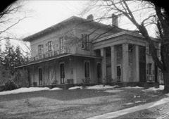
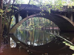
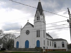
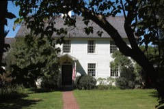
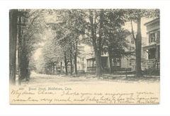
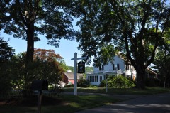
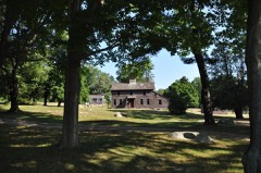
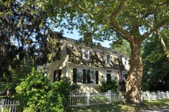
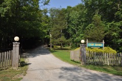
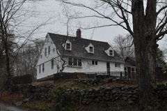
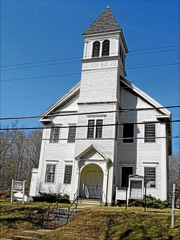
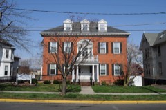
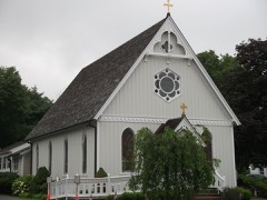
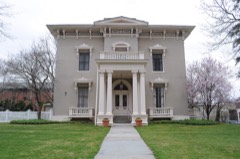
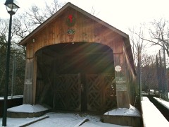
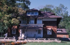
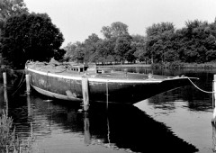
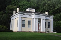
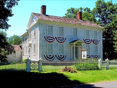
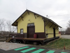
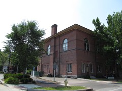
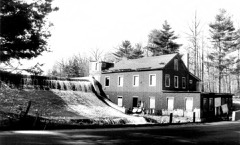
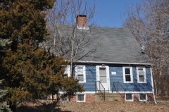
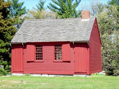
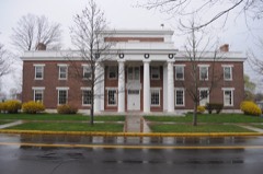
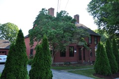
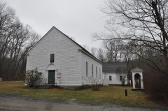
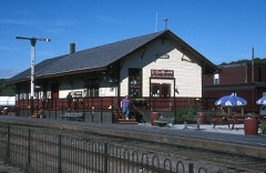
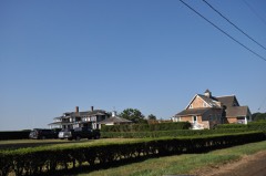
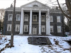
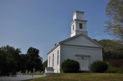
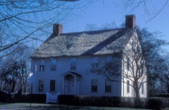
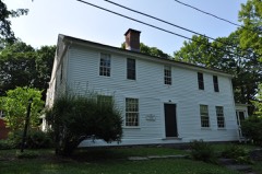
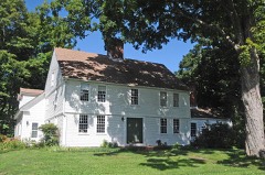
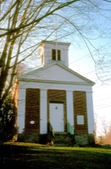
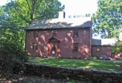
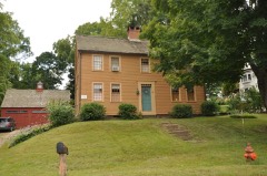
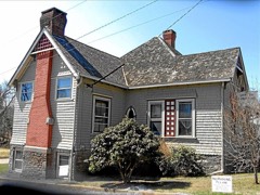
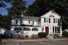
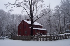
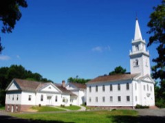
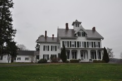
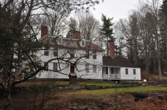
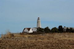
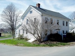
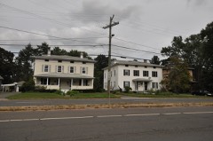
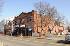
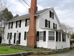
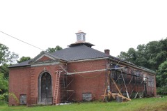
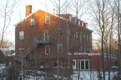
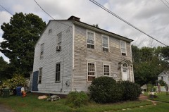
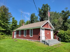
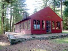
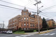
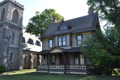
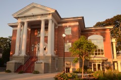
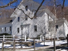
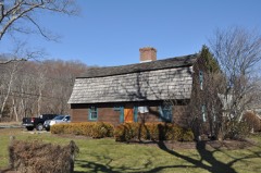
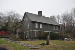
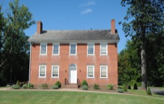
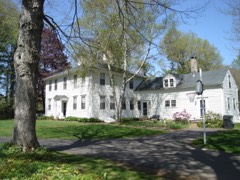
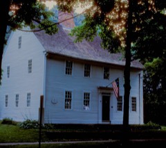
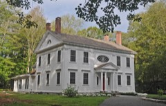
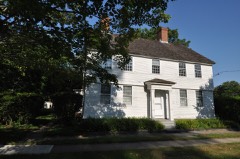
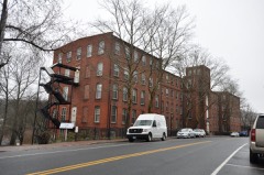
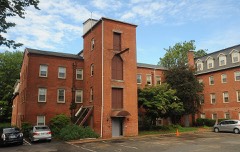
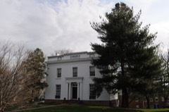
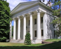
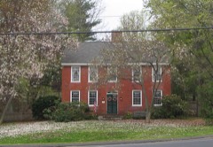
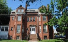
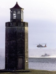
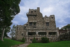
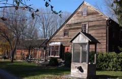
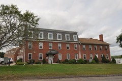
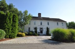
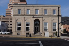
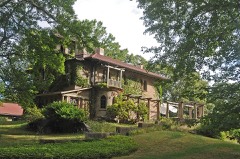
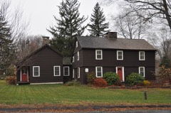
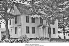
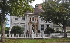
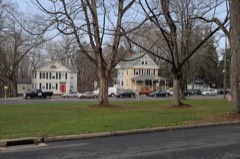
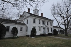
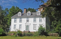
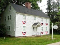
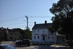
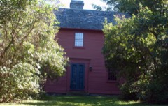
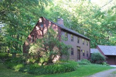
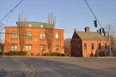
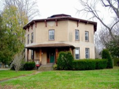
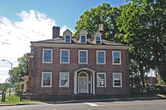
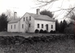
124 National Register listings published here, 4 of them National Historic Landmarks · the county-history sources name 2 people · people the book names include Euphalet A. Bulkley (East Haddam Town, 1884) · Thomas J. Clark (Haddam Town, 1884) (machine-read).
Every wildfire the federal occurrence
database records inside this county: 685 of them, burning
about 1,325 acres. 4 started naturally and 13 were recorded as arson. Each settlement page carries the fires within
five miles of it.
Reported cause
Fires
Missing data/not specified/undetermined
361
Debris and open burning
123
Recreation and ceremony
98
Smoking
28
Misuse of fire by a minor
26
Power generation/transmission/distribution
13
Arson/incendiarism
13
Equipment and vehicle use
8
Railroad operations and maintenance
6
Natural
4
Fireworks
3
Other causes
2
The five largest, by the area the report
gives. One of them was set deliberately.
Date
Cause
Size
Reported by
Name on the report
22 October 1997
Missing data/not specified/undetermined
361 acres
Connecticut Division of Forestry
not named
26 March 2012
Missing data/not specified/undetermined
150 acres
Connecticut Division of Forestry
EAST HADDAM
27 April 2008
Debris and open burning
29 acres
Connecticut Division of Forestry
not named
13 October 1997
Recreation and ceremony
25 acres
Connecticut Division of Forestry
not named
25 March 2000
Debris and open burning
25 acres
Connecticut Division of Forestry
not named
7 April 2020
Arson/incendiarism
18 acres
Connecticut Division of Forestry
OLMSTEAD ROAD
31 July 1999
Natural
15 acres
Connecticut Division of Forestry
not named
11 October 1997
Recreation and ceremony
15 acres
Connecticut Division of Forestry
not named
Every settlement page carries the fires within five
miles of it - see the settlement index below.
Storms,
1950 to 2025
60 of 231 shown
The
NOAA Storm Events Database holds
231 reports for this county, causing 2 deaths, 14 injuries and about $1,368,301 in recorded property damage.
Each settlement page carries the reports that name it.
Kind of event
Reports
Thunderstorm Wind
110
Hail
41
Flash Flood
26
Heavy Rain
18
Lightning
17
Flood
9
Tornado
8
Strong Wind
1
Funnel Cloud
1
The most serious of them, by death, then
injury, then recorded damage. The accounts are quoted exactly as the
forecast office filed them.
First responders reported a tree struck by lightning, injuring three people nearby. The EMS crew treated two people who were transported to area hospitals for further evaluation. The third person refused treatment. This took place at the TPC River Highlands golf course during a PGA Tour event.
The Old Saybrook Police Department on Main St. suffered severe flood damage to the building, stored equipment and records after 8 inches of water accumulated in the basement. The Parks and Recreation Department building also in Old Saybrook and the Senior Center in Westbrook also suffered from minor flood damage. In Clinton, widespread damage to houses from flooding was reported across town.
Runoff from heavy rain caused a number of basements of government buildings and individual homes and businesses to be flooded throughout the town of Portland. The flooding caused extensive damage to town and school records and other materials that were stored in the basement of the Brownstone Intermediate School on Main St. and the Senior Center on Waverly Ave., which houses the Portland Food Bank. Water rescues were also performed by local authorities on Main St. near the Arrigoni Bridge which stretches over the Connecticut River. Total property damage is estimated.
A National Weather Service Storm Survey team, along with officials from Portland Emergency Management, found damage consistent with microburst winds up to 110 mph along a swath approximately 2 miles long. The damage swath began near the intersection of State Route 66 and Middle Haddam Road in Portland and ended about 2 miles to the east at Keighly Pond Road in the town of East Hampton. The damage path was approximately 0.5 miles wide at its eastern edge and 1.5 miles wide at its western edge, indicative of divergent winds.||Significant damage to many large, mainly hardwood, trees was observed throughout the damage path, with trees averaging 80 feet in height and up to 2 feet in diameter snapped, in almost all cases, 20 to 30 feet above the ground. This is indicative of wind speeds of 90 to 110 mph.||Most of the damage was observed generally along Middle Haddam Road, with trees mostly oriented directly east or east-southeast. To the north, along Breezy Corners Road and Jobs Pond Road, tree damage was oriented east or east-northeast. To the south, along Lyman Lane and Wellwyn Road, trees were oriented to the southeast. This pattern also indicated diverging winds.||Damage to structures was confined to those in open areas away from trees. One such building, a Farm Center on Middle Haddam Road had a large section of roof ripped off that was carried by the wind for about 100 yards. Other buildings in open areas received minor damage to windows and screens.
Lightning struck a barn along Wiese Albert Road in the town of Haddam, causing a fire. As a result of the fire, one horse died, and the owner suffered minor injuries while trying to rescue the horse.
A house in Westbrook was struck by lightning, destroying an air conditioning unit, TV, computers, and an intercom system. Underground pipes leading into the basement were also damaged, causing flooding in the basement.
A mudslide at the Newfield St. apartment complex in Middletown left the concrete foundation of one of the buildings exposed with a sheer drop to the Coginchaug River below.||Total rainfall amounts received across Middlesex County ranged from 5.14 inches in Portland to 5.67 inches in Clinton.
Multiple trees and wires were reported down on Schnoor Road.
Mines and
quarries
147 recorded
The Survey's mineral resources record
lists 147 workings inside this county. 15 still produce and 132 are closed or unrecorded. Each
settlement page carries the workings within five miles of it.
Commodity
Workings
Feldspar
54
Stone, Dimension
20
Mica
18
Sand and Gravel, Construction
13
Beryllium, Mica
13
Stone
12
Beryllium
6
Feldspar, Mica
5
Granite
5
Flagstone
4
Stone, Crushed/Broken
3
Nickel
2
Cobalt
2
Quartz
2
The least common of them first, because a
county's hundredth gravel pit says nothing its first ten did not.
History of Middlesex County, Connecticut, with Biographical Sketches of Its Prominent Men devotes a chapter to each township:
its boundaries and streams, who settled it and when, the mills, the
schools and the churches. All 13 are reproduced here in full. Each row
shows the township's own shape and where it lies in the county, drawn from
the Census Bureau's boundary. Which settlements belong to which township
is computed from that same boundary, not taken from the book.
One book written about this county, cut here
where the book itself is cut, at its printed chapters: 8 chapters in all.
Every chapter is public domain, machine-read from the scan and
reproduced complete. A chapter already given under one of the county's
towns is not repeated in this list.
History of Middlesex County, Connecticut, with Biographical Sketches of Its Prominent Men (1884)
Everyone History of Middlesex County, Connecticut, with Biographical Sketches of Its Prominent Men stops to write about, with
the section that describes them. Among them are the men who founded the
place and governed the Territory. Each name opens the passage itself, in
the words of 1884.
Named settlements recorded in the Geographic Names
Information System, each with the topographic sheets covering it. Villages,
hamlets and abandoned places alike. Each is shown with the nearest named
watercourse or landform and the survey quadrangle it falls on.
Topographic sheets. USGS Historical Topographic Map Collection, county index, measured from the bulk metadata.
Fire insurance maps. Library of Congress Sanborn collection, faceted to this county.
Photographs. Each place queried individually against the Library of Congress Prints and Photographs search.
Wildfire. Short, Karen C. 2022. Spatial wildfire occurrence data for the United States, 1992-2020 [FPA_FOD_20221014]. 6th Edition. Fort Collins, CO: Forest Service Research Data Archive. https://doi.org/10.2737/RDS-2013-0009.6 Collected with United States Government funding and usable without additional permissions or fees.
Mines and quarries. USGS Mineral Resources Data System (MRDS) https://mrdata.usgs.gov/mrds/ A work of the United States government, no copyright under 17 U.S.C. 105.
Storms. NOAA National Centers for Environmental Information, Storm Events Database https://www.ncei.noaa.gov/stormevents/ A work of the United States government, no copyright under 17 U.S.C. 105. Narratives are quoted verbatim from the National Weather Service report and are not edited or summarised.
 Block