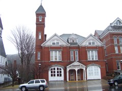
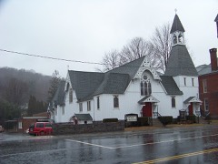
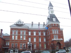
Listed on the National Register of Historic Places in 2000.
From the record
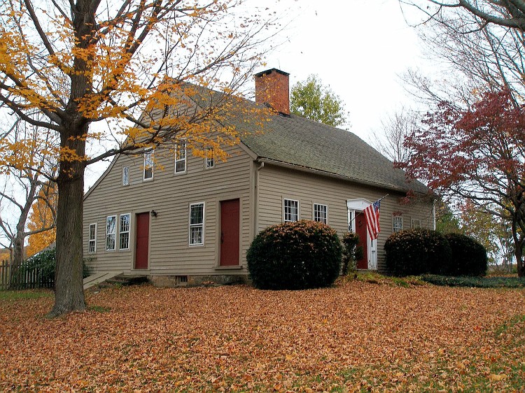
“The Roderick Bryan House is a historic house at 867 Linkfield Road in Watertown, Connecticut. Built about 1820, it is a well-preserved example of a rural Cape style farmhouse.”
Wikipedia article Roderick Bryan House, CC BY-SA 4.0.
One of 166 National Register listings published here for Litchfield County · listed in 2000 · category: Building.
National Register reference number.00001563- the number the National Park Service assigned this property when it was listed, and the key its nomination file is catalogued under at the National Archives.
The oldest person who has ever lived in Watertown as a permanent resident was Mrs. Rebecca Prindle, widow of Mr. Noah Judd, and granddaughter of Jonathan Prindle, one of the first settlers. She was baptized by the Rev. John Trumbull a few days after his ordination, being the first child baptized in the place. She died March 19, 1838, aged ninety-nine years.
In 1854 some of the citizens of Watertown united in an association to procure and arrange another place of burial besides the one which had been used from the earliest settlement of the town. A piece of land containing four and a half acres, a short distance north of the Centre, was purchased for twelve hundred dollars, and in part graded and laid out into lots. On Monday, Sept. 4, 1854, it was dedicated with appropriate services, and an address delivered by Hon. Samuel A. Foote, of Geneva, N. Y.
Regional context, not property-specific
evidence. The
federal wildfire occurrence database
lists 262 fires within 5 miles of Roderick Bryan House
between 1992 and 2020, burning about 681 acres in total. None started naturally. 25 were recorded as arson.
Distance is straight-line from the map coordinates, so a fire counted
here may appear on a neighbouring settlement's page as well.
Reported cause
Fires
Missing data/not specified/undetermined
154
Debris and open burning
42
Arson/incendiarism
25
Misuse of fire by a minor
23
Recreation and ceremony
12
Smoking
3
Railroad operations and maintenance
2
Equipment and vehicle use
1
The most recent of
them, most recent first, with the day each was reported and the service
that recorded it.
Regional context, not property-specific
evidence. The federal mineral resources record lists
5 workings within 5 miles of Roderick Bryan House: 5 past producers.
None of them still produces. What was taken out: Stone, Stone, Dimension, Granite, Sand and Gravel, Construction. Distance is straight-line from the
map coordinates, so a quarry counted here may appear on a neighbouring
settlement's page as well.
Regional context, not property-specific
evidence. The National Weather Service names
Watertown, the town this property stands in, in 20 storm reports between 1994 and 2025: 10 thunderstorm wind, 6 hail, 4 flash flood.
No death or injury is recorded in these reports. Each account below is quoted exactly as the forecast office
filed it, from the NOAA Storm Events Database, and each date
opens the federal record of that event.
Golf-ball size (measured) hail was reported during a thunderstorm in Watertown. Media reported wind-swept hail broke 75 window panes on a home built in 1890.
Flooding was reported northwest of Waterbury in Litchfield County at the intersection of Route 6 and Route 63, on Route 63 between Echo Lake Road and Woodruff Avenue and on portions of Woodruff Avenue and Scott Avenue.
Falls Avenue and Sylvan Lake Roads flooded out. Minor flooding also reported in the town of Woodbury, but not enough to prompt officials to close down roads.
No historic map-sheet match is published
for this property yet. That does not mean no map exists. This record needs
a coordinate-quality review before it can be joined to a sheet boundary.
Browse the county's mapped places while that work is
pending.
Listed places nearby
6 within 8 miles
Other National Register properties close
enough to walk or drive between, ordered by distance from this one. Both
positions come from the same geocoding pass that matched these properties
to their map sheets.
Listing record. National Park Service National Register of Historic Places, listed-properties dataset, current to 2026-05-22.
Map join. Address geocoded through the United States Census geocoder, then tested against the published boundary of every sheet in the USGS Historical Topographic Map Collection.
How this page is made. Listing fields come from federal records; map-sheet coverage is a labelled coordinate-to-boundary calculation, not a source-field claim.
Wildfire. Short, Karen C. 2022. Spatial wildfire occurrence data for the United States, 1992-2020 [FPA_FOD_20221014]. 6th Edition. Fort Collins, CO: Forest Service Research Data Archive. https://doi.org/10.2737/RDS-2013-0009.6 Collected with United States Government funding and usable without additional permissions or fees.
Mines and quarries. USGS Mineral Resources Data System (MRDS) https://mrdata.usgs.gov/mrds/ A work of the United States government, no copyright under 17 U.S.C. 105.
Storms. NOAA National Centers for Environmental Information, Storm Events Database https://www.ncei.noaa.gov/stormevents/ A work of the United States government, no copyright under 17 U.S.C. 105. Narratives are quoted verbatim from the National Weather Service report and are not edited or summarised.
 Block