 Block
From the record
One of 47 National Register listings published here for Tolland County · listed in 2003 · category: Structure · built in 1949.
Sources: the case file at the National Archives · the National Register database, National Park Service
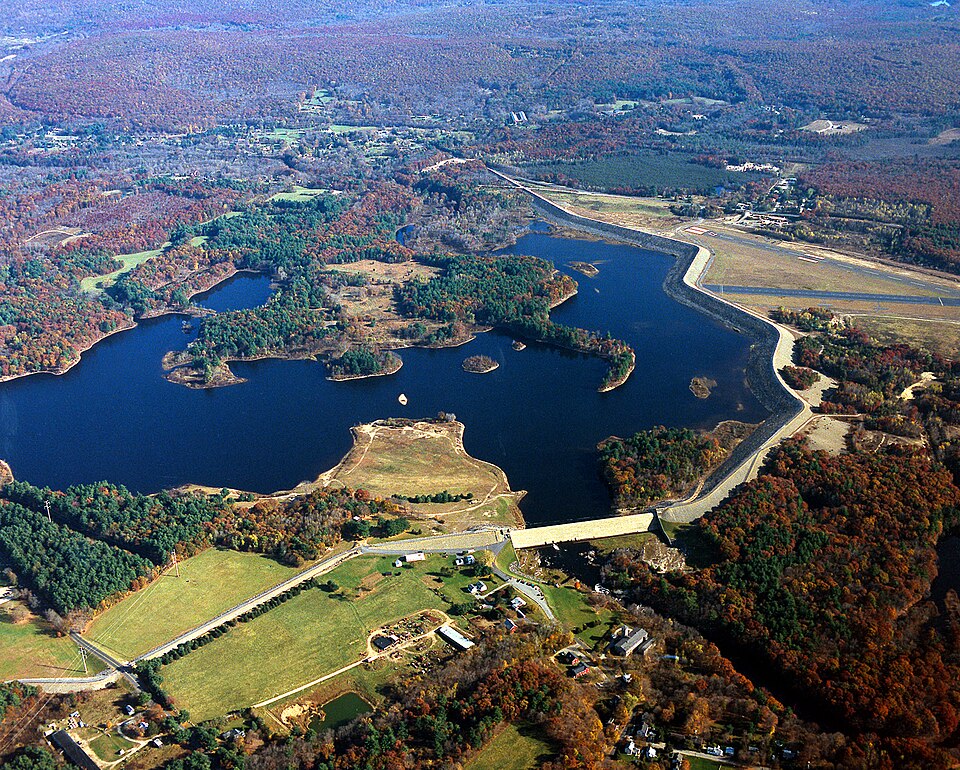
Built in 1949. Listed on the National Register of Historic Places in 2003.
One of 47 National Register listings published here for Tolland County · listed in 2003 · category: Structure · built in 1949.
Sources: the case file at the National Archives · the National Register database, National Park Service
Regional context, not property-specific evidence. The federal wildfire occurrence database lists 131 fires within 5 miles of Mansfield Hollow Dam between 1992 and 2020, burning about 238 acres in total. 1 started naturally. 8 were recorded as arson. Distance is straight-line from the map coordinates, so a fire counted here may appear on a neighbouring settlement's page as well.
| Reported cause | Fires |
|---|---|
| Missing data/not specified/undetermined | 71 |
| Misuse of fire by a minor | 14 |
| Debris and open burning | 12 |
| Recreation and ceremony | 9 |
| Arson/incendiarism | 8 |
| Smoking | 6 |
| Power generation/transmission/distribution | 4 |
| Equipment and vehicle use | 3 |
| Railroad operations and maintenance | 3 |
| Natural | 1 |
The most recent of them, most recent first, with the day each was reported and the service that recorded it.
| Date | Cause | Size | Reported by | Name on the report |
|---|---|---|---|---|
| 8 September 2020 | Missing data/not specified/undetermined | under an acre | Connecticut Division of Forestry | 124 CHAPMAN STREET |
| 4 September 2018 | Recreation and ceremony | under an acre | Connecticut Division of Forestry | 69 CIRCLE DRIVE |
| 3 September 1995 | Arson/incendiarism | 2.0 acres | Connecticut Division of Forestry | not named |
| 23 September 2020 | Missing data/not specified/undetermined | 1.0 acres | Connecticut Division of Forestry | 100 PUMPKIN HILL ROAD |
| 19 September 2020 | Missing data/not specified/undetermined | under an acre | Connecticut Division of Forestry | 100 PUMPKIN HILL ROAD |
| 16 September 2020 | Recreation and ceremony | 94 acres | Connecticut Division of Forestry | AIRLINE TRAIL |
| 16 September 2020 | Recreation and ceremony | under an acre | Connecticut Division of Forestry | 15 PUMPKIN HILL ROAD |
| 5 August 2016 | Recreation and ceremony | 1.0 acres | Connecticut Division of Forestry | HAIN MATERIAL CORP, IN THE REAR OF |
Regional context, not property-specific evidence. The federal mineral resources record lists 28 workings within 5 miles of Mansfield Hollow Dam: 21 past producers, 6 producers, 1 unknown. 6 still produce. What was taken out: Stone, Dimension, Stone, Sand and Gravel, Construction, Granite. Distance is straight-line from the map coordinates, so a quarry counted here may appear on a neighbouring settlement's page as well.
| Where | Site | Commodity | Status | Recorded |
|---|---|---|---|---|
| Larrabee Quarry | Granite | Past Producer | ||
| Quarry | Granite | Past Producer | ||
| Hain Sand & Gravel | Sand and Gravel, Construction | Unknown | ||
| Hain Sand and Gravel Pit | Sand and Gravel, Construction | Producer | ||
| Plains Road Pit | Sand and Gravel, Construction | Producer | ||
| Alaskite Or Quartz Monzonite Gneiss Rock Quarry No. Aj-001 | Stone | Producer | ||
| Alaskite Or Quartz Monzonite Gneiss Rock Quarry No. Aj-002 | Stone | Producer | ||
| Alaskite Or Quartz Monzonite Gneiss Rock Quarry No. Aj-007 | Stone | Producer | ||
| Gneiss Rock Quarry No. Aj-012 | Stone | Producer | ||
| Gneiss Rock Quarry No. Aj-003 | Stone | Past Producer |
Regional context, not property-specific evidence. The National Weather Service names Mansfield Center, the town this property stands in, in 2 storm reports between 2018 and 2025: 1 tornado, 1 thunderstorm wind. No death or injury is recorded in these reports. Each account below is quoted exactly as the forecast office filed it, from the NOAA Storm Events Database, and each date opens the federal record of that event.
| When | Event | Place named | Harm | What the report says |
|---|---|---|---|---|
| October 2018 | Tornado (EF0) | Mansfield Center | $3,000 | The National Weather Service in Norton confirmed that a weak EF-0 tornado touched down in Mansfield, CT. This was based on a number of sources, including an eyewitness account, information from the Mansfield Emergency Management Agency Director, aerial drone footage provided by the media, and a weak tornado debris signature seen on Doppler radar. ||Trees were downed, in a chaotic pattern, starting from just west of Storrs Road (Route 195) between Cemetery Road and Bassetts Bridge Road, continuing east-northeastward across Cemetery Road, and ending just to the east of the southernmost portion of Echo Road. Several shingles were blown off a roof on Storrs Road and were found 500 yards downwind. A person living on Centre Street, just west of Echo Lake observed a swirling mass of leaves and sticks passing to his southeast, some of which were hitting his house. The Mansfield Emergency Management Agency Director walked the path and found that downed trees north of Cemetery Road were facing the southwest while they were mainly facing northeast just to the south of Cemetery Road. |
| July 2025 | Thunderstorm Wind | Mansfield Center | - | There were downed powerlines on Browns Rd in Mansfield with a tree downed on Browns Rd as well which was blocking one lane of travel. |
No historic map-sheet match is published for this property yet. That does not mean no map exists. This record needs a coordinate-quality review before it can be joined to a sheet boundary. Browse the county's mapped places while that work is pending.
Other National Register properties close enough to walk or drive between, ordered by distance from this one. Both positions come from the same geocoding pass that matched these properties to their map sheets.
| Photograph | Property | Distance | Listed |
|---|---|---|---|
 | Mansfield Hollow Historic District | 0.7 miles | 1979 |
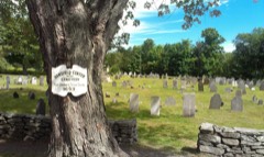 | Mansfield Center Cemetery | 1.2 miles | 1992 |
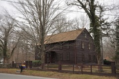 | Eleazer Williams House | 1.5 miles | 1971 |
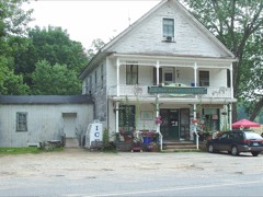 | Mansfield Center Historic District | 1.5 miles | 1972 |
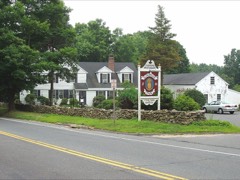 | Spring Hill Historic District | 3.4 miles | 1979 |
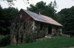 | Gurleyville Historic District | 4.6 miles | 1975 |
| National Archives record | The nomination case file for reference 03000194 in Record Group 79. |
| Tolland County | All 47 listed properties in this county. |