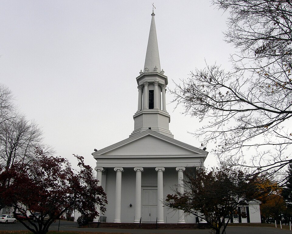
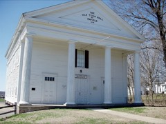
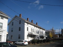
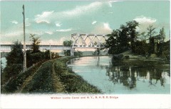
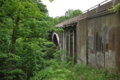
Listed on the National Register of Historic Places in 1979.
From the record
“The Enfield Historic District encompasses a two-mile stretch of Enfield Street, the main north-south road of Enfield, Connecticut. Centered on the town common with its church and old town hall, it includes a diversity of residential architecture from the 18th to early 20th centuries.”
Wikipedia article Enfield Historic District, CC BY-SA 4.0.
One of 451 National Register listings published here for Hartford County · listed in 1979 · category: District.
National Register reference number.79002664- the number the National Park Service assigned this property when it was listed, and the key its nomination file is catalogued under at the National Archives.
In the year 1642 the boundary line between the Massachusetts Bay Colony and Connecticut was run by order of the General Court of Massachusetts Bav. ThrouQ-h some error the survevors struck the Connecticut River several miles too far south, so that all the territory now included in Enfield fell within the limits of the Massachusetts Bay Colony. Though Connecticut never admitted the accuracy of this survey, and even protested against it, yet the matter was suffered to remain unsettled for many years. In 1048 the General Court of Massachusetts ordered that all the land on the cast side of the Connecticut River, from the town of Springfield down to the warehouse, which they had formerly built, and twenty poles below the warehouse, should belong to the town of Springfield. As a consequence, nearly a ceii-
That part of Enfield which lies north of Freshwater River had previously been purchased of another tribe of Indiaus and conveyed to William Pynchon by a deed given in 1678 ; so that all the territory of Enfield was obtained from the Indians by honorable purchase, and is covered by duly recorded deeds. The inhabitants of Enfield never had any serious difficulty with the Indians. Everything favored harmony. King Philip's War had just closed when the first attempt at a settlement was made, so that general peace with the Indians prevailed. Tlie Indians did not live within the territory, and for the land they received what they considered a just equivalent. For these reasons the early settlers of Enfield escaped those hardships and sufferings which came upon the first settlers of many of the towns in Connecticut.
Regional context, not property-specific
evidence. The
federal wildfire occurrence database
lists 45 fires within 5 miles of Enfield Historic District
between 2002 and 2020, burning about 30 acres in total. 1 started naturally. None was recorded as arson.
Distance is straight-line from the map coordinates, so a fire counted
here may appear on a neighbouring settlement's page as well.
Reported cause
Fires
Missing data/not specified/undetermined
29
Smoking
5
Debris and open burning
4
Recreation and ceremony
4
Equipment and vehicle use
2
Natural
1
The most recent of
them, most recent first, with the day each was reported and the service
that recorded it.
Regional context, not property-specific
evidence. The federal mineral resources record lists
1 working within 5 miles of Enfield Historic District: 1 producer.
All of them still produce. What was taken out: Sand and Gravel, Construction. Distance is straight-line from the
map coordinates, so a quarry counted here may appear on a neighbouring
settlement's page as well.
Regional context, not property-specific
evidence. The National Weather Service names
Enfield, the town this property stands in, in 41 storm reports between 1993 and 2025: 25 thunderstorm wind, 13 hail, 2 lightning, 1 flood.
No death or injury is recorded in these reports. Each account below is quoted exactly as the forecast office
filed it, from the NOAA Storm Events Database, and each date
opens the federal record of that event.
Several mainstem rivers and small streams in Hartford County went into flood. These include, the Hockanum River at East Hartford and the Connecticut River at Hartford. Several basements flooded in Windsor and Windsor Locks, including one on Gaylord Road in Windsor Locks. Bloomfield Avenue was closed near the Bloomfield/Windsor line because a nearby pond overflowed its banks.
Several large trees were downed by thunderstorm winds, including one on Birch Street and one on exit 46 on Interstate 91 Southbound. Wires were also downed.
Several trees were downed by thunderstorm winds. One tree was downed onto a house. A tree on Elm Street was downed onto wires. A tree was downed onto George Washington Highway, blocking the road. Multiple trees were downed on Post Office Road.
At 3:40 PM EDT, thunderstorm winds in Enfield brought a tree down on wires at Raffia Road and South Road, and a tree down on Broad Brook Road at Water Street.
Large branches and wires on Taylor Road were downed by thunderstorm winds. The Automated Surface Observing System at nearby Bradley International Airport (KBDL) recorded sustained wind speeds of 41 mph.
Large tree limbs down as reported by police in Enfield. Lightning caused power outages occurred in Suffield and S. Windsor and police reported damage to a building struck by lightning in Windsor.
No historic map-sheet match is published
for this property yet. That does not mean no map exists. This record needs
a coordinate-quality review before it can be joined to a sheet boundary.
Browse the county's mapped places while that work is
pending.
Listed places nearby
6 within 8 miles
Other National Register properties close
enough to walk or drive between, ordered by distance from this one. Both
positions come from the same geocoding pass that matched these properties
to their map sheets.
Listing record. National Park Service National Register of Historic Places, listed-properties dataset, current to 2026-05-22.
Map join. Address geocoded through the United States Census geocoder, then tested against the published boundary of every sheet in the USGS Historical Topographic Map Collection.
How this page is made. Listing fields come from federal records; map-sheet coverage is a labelled coordinate-to-boundary calculation, not a source-field claim.
Wildfire. Short, Karen C. 2022. Spatial wildfire occurrence data for the United States, 1992-2020 [FPA_FOD_20221014]. 6th Edition. Fort Collins, CO: Forest Service Research Data Archive. https://doi.org/10.2737/RDS-2013-0009.6 Collected with United States Government funding and usable without additional permissions or fees.
Mines and quarries. USGS Mineral Resources Data System (MRDS) https://mrdata.usgs.gov/mrds/ A work of the United States government, no copyright under 17 U.S.C. 105.
Storms. NOAA National Centers for Environmental Information, Storm Events Database https://www.ncei.noaa.gov/stormevents/ A work of the United States government, no copyright under 17 U.S.C. 105. Narratives are quoted verbatim from the National Weather Service report and are not edited or summarised.
 Block