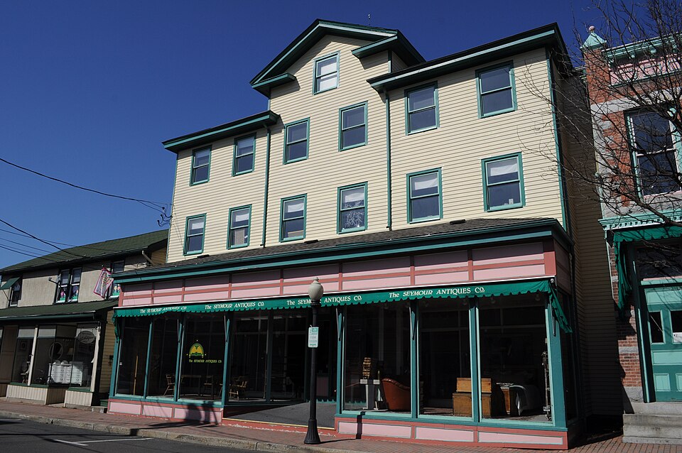
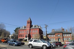
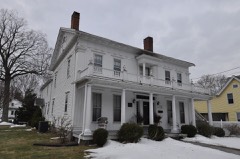
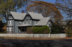
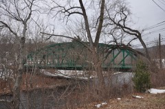
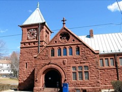
Listed on the National Register of Historic Places in 1983.
From the record
“The Downtown Seymour Historic District encompasses most of the historic downtown of Seymour, Connecticut. Sandwiched between Connecticut Route 8 and the tracks of the former Naugatuck Railroad line, now the Waterbury Branch, it developed in the mid-19th century as a successful industrial center dominated by the production of brass goods.”
Wikipedia article Downtown Seymour Historic District, CC BY-SA 4.0.
One of 272 National Register listings published here for New Haven County · listed in 1983 · category: District.
National Register reference number.83001279- the number the National Park Service assigned this property when it was listed, and the key its nomination file is catalogued under at the National Archives.
THE town of Seymour lies south of Oxford and Beacon Falls, west of Bethany and Woodbridge, north of Ansonia and east of the Housatonic river and Oxford. The greater part of this area is in the valley of the Naugatuck, which extends through the center from north to south, and in the valleys along Bladen's brook, from the east, and the Little river from the northwest. In these localities are some level lands, but much of the remainder of the town is broken and hilly. The principal elevations are Rock Rimmon in the north, Indian hill and Castle Rock at the center, and Great hill in the southwest. The latter is a very extensive tract of elevated lands, whose beauty and utility, compared with the surrounding country, were early recognized, and soon after the settlement of the town some choice lots were cleared to form small but good farms. But agriculture has long since ceased to be a leading industry, the chief point of development being the water power of the Naugatuck, at Rimmon falls. At this point the hills bear close upon the river, and a ledge extends twothirds across the stream in such a way as to form a perfect dam, nearly 20 feet in height. The remaining distance being covered with an artificial dam, this forms one of the best powers in the county. It was early known by the name of Naugatuck, or, in the original Indian, Amaug-suck,* meaning the fishing place, where the waters pour down or suck up rapidly. It is believed that the latter is the original term applied by the Indians to this place, the English mistaking the word, as it was pronounced so rapidly in the Indian tongue.
When the second purchase of lands was made from this tribe, in April, 1678, " the fishing place at Naugatuck and the plains and the hill next the river at the fishing place" were reserved by the Indians, who held the title for that tract more than 100 years longer. The reservation embraced nearly all of what is now the village of Seymour lying east of the Naugatuck. The lands in the purchase ex- tended from the reservation as far east as into Woodbridge, and from Bladen's brook south several miles. The first purchase of Indian lands had been made two months earlier, in 1678, and comprised the tract lying between Bladen's and Lebanon brooks, and east and southeast of Rock Rimmon. The purchaser was Colonel Ebenezer Johnson, of Derby. The third sale of Indian lands in this locality was made in 1692, and David Wooster was the purchaser. The tract embraced lands on the west side of the river, opposite the foregoing, and may have extended from Rock Rimmon southward. North from this point lands were purchased, in 1700, by Ebenezer Johnson and Samuel Riggs, who made a division of their interests in 1708.
Regional context, not property-specific
evidence. The
federal wildfire occurrence database
lists 356 fires within 5 miles of Downtown Seymour Historic District
between 1992 and 2020, burning about 597 acres in total. None started naturally. 66 were recorded as arson.
Distance is straight-line from the map coordinates, so a fire counted
here may appear on a neighbouring settlement's page as well.
Reported cause
Fires
Missing data/not specified/undetermined
195
Arson/incendiarism
66
Recreation and ceremony
36
Debris and open burning
35
Misuse of fire by a minor
16
Smoking
6
Equipment and vehicle use
2
The most recent of
them, most recent first, with the day each was reported and the service
that recorded it.
Regional context, not property-specific
evidence. The federal mineral resources record lists
32 workings within 5 miles of Downtown Seymour Historic District: 22 past producers, 6 producers, 3 occurrences, 1 unknown.
6 still produce. What was taken out: Sand and Gravel, Construction, Copper, Stone, Dimension, Stone. Distance is straight-line from the
map coordinates, so a quarry counted here may appear on a neighbouring
settlement's page as well.
Regional context, not property-specific
evidence. The National Weather Service names
Seymour, the town this property stands in, in 14 storm reports between 1998 and 2024: 7 thunderstorm wind, 4 flash flood, 3 lightning.
The reports record 1 injury. Each account below is quoted exactly as the forecast office
filed it, from the NOAA Storm Events Database, and each date
opens the federal record of that event.
A large tree fell across Route 67 between McDonald's and Allen's Plumbing in Seymour, bringing down three utility poles and multiple wires. The tree fell on a car on Route 67, trapping the occupants.
As a cluster of thunderstorms and heavy showers moved slowly southeast, torrential rain caused flash flooding of parts of Route 8 in Seymour. This was reported by the broadcast media.
No historic map-sheet match is published
for this property yet. That does not mean no map exists. This record needs
a coordinate-quality review before it can be joined to a sheet boundary.
Browse the county's mapped places while that work is
pending.
Listed places nearby
6 within 8 miles
Other National Register properties close
enough to walk or drive between, ordered by distance from this one. Both
positions come from the same geocoding pass that matched these properties
to their map sheets.
Listing record. National Park Service National Register of Historic Places, listed-properties dataset, current to 2026-05-22.
Map join. Address geocoded through the United States Census geocoder, then tested against the published boundary of every sheet in the USGS Historical Topographic Map Collection.
How this page is made. Listing fields come from federal records; map-sheet coverage is a labelled coordinate-to-boundary calculation, not a source-field claim.
Wildfire. Short, Karen C. 2022. Spatial wildfire occurrence data for the United States, 1992-2020 [FPA_FOD_20221014]. 6th Edition. Fort Collins, CO: Forest Service Research Data Archive. https://doi.org/10.2737/RDS-2013-0009.6 Collected with United States Government funding and usable without additional permissions or fees.
Mines and quarries. USGS Mineral Resources Data System (MRDS) https://mrdata.usgs.gov/mrds/ A work of the United States government, no copyright under 17 U.S.C. 105.
Storms. NOAA National Centers for Environmental Information, Storm Events Database https://www.ncei.noaa.gov/stormevents/ A work of the United States government, no copyright under 17 U.S.C. 105. Narratives are quoted verbatim from the National Weather Service report and are not edited or summarised.
 Block