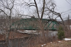
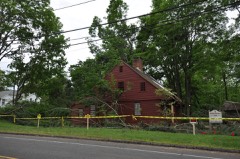
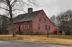
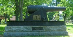
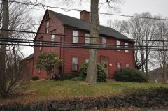
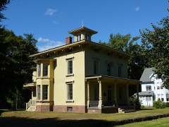
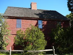
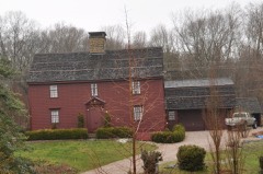
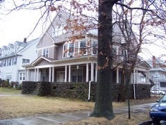
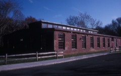
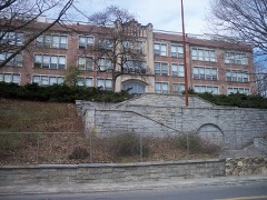
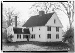
272 National Register listings published here, 11 of them National Historic Landmarks · the county-history sources tell 3 stories and name 4 people · people the book names include Rev. John Higginson (Guilford Town, 1897) (machine-read).
Connecticut within the United StatesNew Haven County within Connecticut
What the record shows
5,568 topographic sheet readings cover the county's settlements.
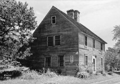
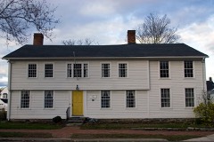
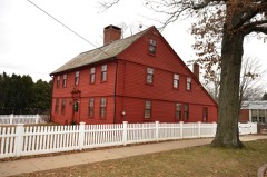
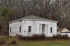
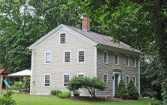
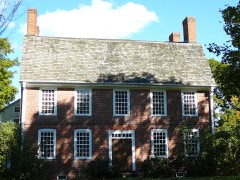
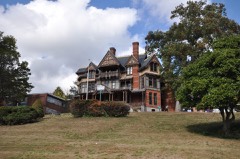
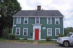
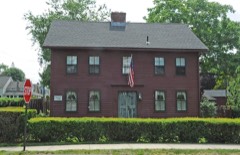
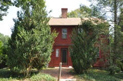
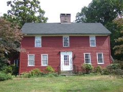
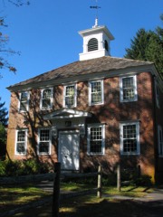
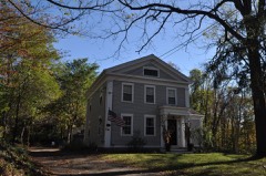
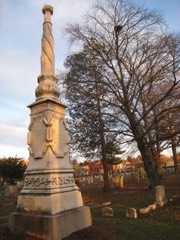
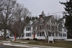
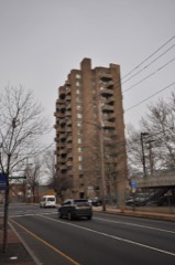
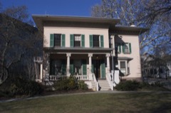
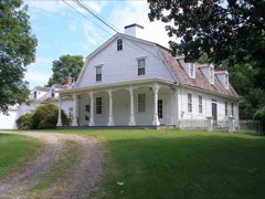
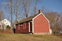
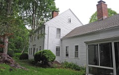
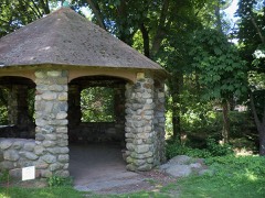
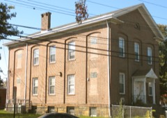
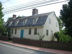
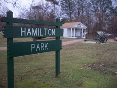
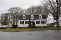
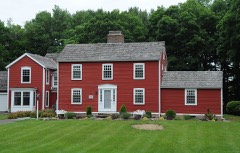
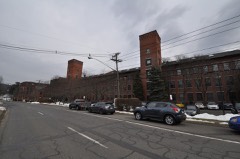
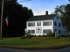
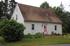
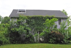
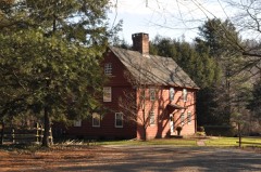
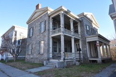
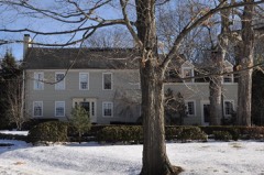
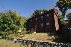
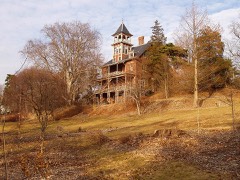
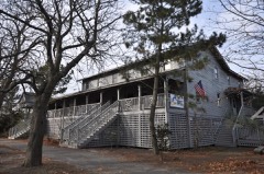
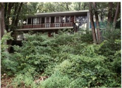
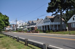
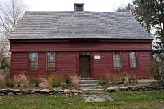
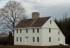
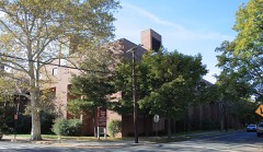
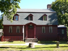
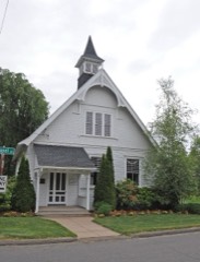
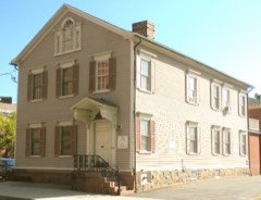
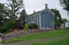
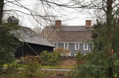
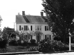
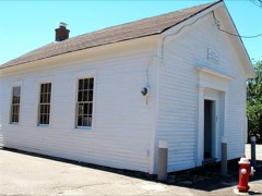
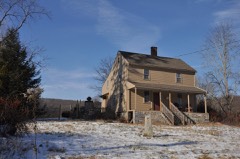
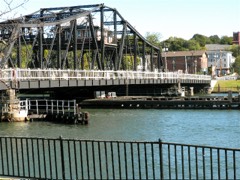
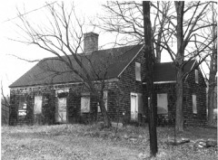
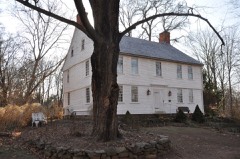
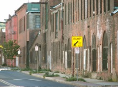
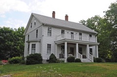
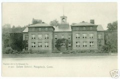
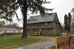
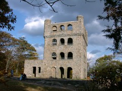
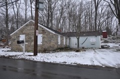
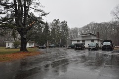
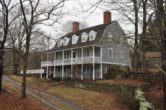
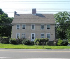
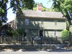
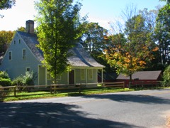
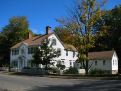
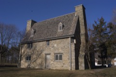
272 properties here are on the National Register of Historic Places: 181 buildings, 71 districts, 14 structures and 6 sites.
46 of the 272 listings were added during the 1970s.
The Geographic Names Information System records 169 populated places in this county; 168 are covered by at least one topographic sheet.
3 public-domain county histories, 1892 to 1918, supply 487,048 words of narrative reproduced here.
What happened here
3 accounts
Among them: Biographical Sketches; Falcon Or Faulkners Island. 2O3; The Wars With Great Britain. 44I. These passages come from the
identified county-history source books. Each inset names its own source
and opens the exact section it comes from.
Samuel M. Bailey, born in Wolcott, in 1831, is a son of Luther and grandson of James Bailey, who served in the war of the revolution and held a lieutenant's commission. He was twice married, his second wife being Phebe Pomeroy. Their son, Luther, married for his first wife, Henrietta Brockett. They had three children: Samuel M., Sarah and Hobart L., who enlisted in the 7th Connecticut Volunteers and was killed at the battle of the Wilderness.
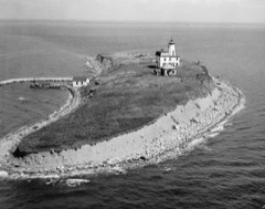
Griffinr^ until 1808, when he was succeeded by Solomon Stone. During the early years of the century a vessel was wrecked on Goose Island and its crew of seven men perished from cold. The island was several times visited by boats from English men-of-war during the War of 1812, but no harm was done to the people or property, as a good light was kept burning.
guards and stationed at Sachem's Head Harbour under Command of Phares Leete, officer of the guard, that in consequence of severe cold weather the sound was frozen as far as the eye could reach and, there being no possibility of the enemy's approach, we Avere discharged, after having served ' one month and 14 days as a private soldier.
Every wildfire the federal occurrence
database records inside this county: 1,330 of them, burning
about 2,806 acres. 1 started naturally and 272 were recorded as arson. Each settlement page carries the fires within
five miles of it.
Reported cause
Fires
Missing data/not specified/undetermined
720
Arson/incendiarism
272
Debris and open burning
96
Recreation and ceremony
92
Misuse of fire by a minor
83
Smoking
37
Railroad operations and maintenance
14
Equipment and vehicle use
13
Natural
1
Fireworks
1
Power generation/transmission/distribution
1
The five largest, by the area the report
gives. Four of them were set deliberately.
Date
Cause
Size
Reported by
Name on the report
6 April 1999
Arson/incendiarism
175 acres
Connecticut Division of Forestry
not named
3 November 2000
Arson/incendiarism
125 acres
Connecticut Division of Forestry
not named
26 July 1999
Arson/incendiarism
100 acres
Connecticut Division of Forestry
not named
6 November 1999
Arson/incendiarism
100 acres
Connecticut Division of Forestry
not named
30 April 1994
Recreation and ceremony
100 acres
Connecticut Division of Forestry
not named
15 May 1992
Misuse of fire by a minor
75 acres
Connecticut Division of Forestry
not named
26 April 2008
Recreation and ceremony
64 acres
Connecticut Division of Forestry
not named
20 April 2006
Misuse of fire by a minor
61 acres
Connecticut Division of Forestry
not named
Every settlement page carries the fires within five
miles of it - see the settlement index below.
Storms,
1955 to 2025
60 of 641 shown
The
NOAA Storm Events Database holds
641 reports for this county, causing 9 deaths, 155 injuries and about $285,824,080 in recorded property damage.
Each settlement page carries the reports that name it.
Kind of event
Reports
Thunderstorm Wind
339
Flash Flood
133
Hail
66
Lightning
32
Flood
24
Heavy Rain
22
Tornado
21
Funnel Cloud
2
Coastal Flood
1
Rip Current
1
The most serious of them, by death, then
injury, then recorded damage. The accounts are quoted exactly as the
forecast office filed them.
Lightning struck a large tree in the back yard of 92 Grassy Hill Road around 4:30 am EST. It traveled through the ground, blasted a hole through the basement wall, and displaced wooden panels in the interior portions of the house. The sound was so loud that it damaged the hearing of a woman living in the house.
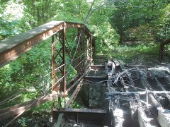
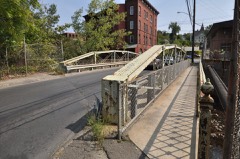
In Seymour, several motorists were rescued from their vehicles on the Rt. 8 bridge between exits 22 and 23. Firefighters also rescued motorists in the Pearl St. area. The bridge on North St. between Smith St. and Beach St. was closed after becoming compromised by raging waters in the Bladens River below. Many basements were flooded throughout town. Several road washouts occurred including Rt. 67 between East St. and Park Rd. and on portions of Pearl, Beach and School Streets after flood waters as deep as two ft. swept over the streets. A retaining wall in front of Walgreens on Rt. 67, between Martha St. and Old Dr., partially collapsed from the flood waters. The Seymour Land Trust property, a cherished passive recreation complex, on Chatfield St. is estimated to have suffered over $750,000 in damage when a flood of water rushed through the property and washed out bridges and trails. Paved paths buckled and crumbled due to the tremendous amount of water that rushed in. A 20-by-15 crater some 30-ft. deep was carved on the grounds. ||West Rd. in Beacon Falls was also partially washed away due to the excessive rain.||Local media reported a total of 4.25 inches of rainfall in Seymour. Total property damage is estimated.
EF1 Tornado staring in Bethany, CT and ending in North Haven, CT. Maximum path width of 500 yards and a path length of 11.1 miles.||Based on a National Weather Service damage survey done in |conjunction with CT Division of Emergency Management and Homeland |Security and local CT town emergency managements, it has been |determined that a strong EF1 tornado, with maximum wind speed of |110 mph, tracked southeast from Bethany to North Haven CT. ||The tornado first touched down in a forested area to the |southeast of Judd Hill Rd in Bethany CT. The tornado tracked |southeast over primarily forested areas from Amity Rd, to Munson |Rd towards Litchfield Tpke, creating a path of damage about 75 |yards wide, with hardwood tree damage consistent with wind speeds |of 80 to 90 mph. ||The path of damage widened to around 300 yards as the tornado |tracked southeast towards Lake Bethany. Structural damage, |including significant roof damage to several homes, and snapped |hardwood trees indicated wind speeds of around 100 mph in this |area.||The tornado path continued southeast for another 4 miles to near |the town center of Hamden CT, with tree and structural damage |indicative of wind speeds of 70 to 80 mph. The intensity picked up|significantly as the tornado approached the center of Hamden, as |evidenced by extensive damage to numerous buildings, including the|flat roof of a 2 story building across from Hamden Town Hall |being torn apart. Wind speeds are estimated to be around 100 mph |based on the damage to these buildings, bent metal fencing around|town hall, and uprooted and snapped trees.||The tornado reached maximum strength and width from this point on|as it continued southeast across Wilbur Cross Parkway, Interstate|91, and down to the intersection of Arrowdale and Thompson St in |North Haven, CT. Tremendous hardwood tree damage and structural |damage was indicative of wind speeds of 110 mph and an expanded |width of 500 yards. It is a this point that the tornado appears to|have dissipated with its destructive straight line winds fanning |out to the coast.
A National Weather Service storm survey team has confirmed |An EF0 tornado in Cheshire CT. A narrow tornado path of 25 yd width |began along Mountain rd just south of Higgins rd and continued |northeast with sporadic tree damage. More significant tree damage |occurred on the grounds of the Legion of Christ College of Humanities |on Oak rd where the damage path also widened to 100 yards. The |tornado path narrowed to 25 yards thereafter with uprooted hardwood |trees along Warren st. The damage path continued northeast to the |back of the Main St Caffe and along W Main st and to the intersection |of George ave and Mueller ave where an SUV and an RV were crushed |respectively. The damage path became more sporadic past that point |and ended near Fairwood dr. The NWS would like to thank Connecticut |Division of Emergency Management and Homeland Security Headquarters |and region 2 personnel and the Cheshire Fire Department in assisting |in the survey and helping formulate this preliminary damage |assessment.
A National Weather Service Storm Survey Team has confirmed an EF0 Tornado in Branford, CT. A narrow tornado path of 25 yd. width began near Pine Orchard and Oak Hollow Roads and continued northeast...with uprooted hardwood trees showing evidence of a convergent damage pattern. The damage path widened to 300 yards at the Francis Walsh Intermediate School Field...where several light tower generators were all toppled by straight line winds...while the Eastern 100 yards of this area along Sunset Hill Drive continued to show a convergent damage pattern. The tornado continued on toward the top of Whitting Hill Road...where the path narrowed to about 75 yards and where the most intense damage occurred...where some pine trees in a loop at the top of the road were snapped in two. The damage path continued northeast to Gould Road where the tornado apparently lifted just before reaching the Governor John Davis Lodge Turnpike.||The NWS would like to thank Connecticut Division of Emergency Management and Homeland Security Headquarters and Region 2 personnel and the Branford Fire Department in assisting in the survey and helping formulate this preliminary damage assessment.
A tornado touched down near the intersection of Bethany Road and|Bonna Street in Beacon Falls, destroyed a barn in Bethany, and|continued on to just west of Sleeping Giant State Park in Hamden,|where the damage path broadened and became more straight-line in|nature. The tornado left a path of numerous uprooted and snapped |hardwood and pine trees. Based on this information, this tornado |is classified as an EF1 with maximum winds of 110 mph.
A tornado touched down near the intersection of Route 67 and |Burma Road in Southbury and continued southeast into Oxford, |leaving a path of numerous uprooted and snapped pine trees and |some hardwood trees. The tornado lifted after damaging the roof of|the Great Oak School in Oxford. Based on this information, this |tornado is classified as an EF1 with maximum winds of 100 mph.
Numerous trees and wires were reported down throughout Waterbury, damaging at least one car, and several fences. In addition there was some minor roof damage reported in the area around Dallas and Monroe Avenues and Newbury and Gates Streets.
A microburst caused widespread damage over western portions of Milford from near the banks of the Housatonic River in the Southwest part of town, southeast to Long Island Sound. Dozens of trees and power lines were downed, with some falling onto houses. In addition a large fiberglass flagpole split in half on the Milford Side of the washington Bridge over the Housatonic River.
A weak EF-0 tornado touched down in Wolcott CT Sunday morning. The path began near the intersection of Minor Road and Center Street where a tree was uprooted and facing west. Convergent, intermittent tree damage continued along a path to the northeast to Wolcott High School. Large fixed sports equipment was thrown across a field and a fence line was blown down to the west. Several trees were also topped. Further to the northeast on Kalko Drive several trees were downed by the tornado and a large tree fell on a trailer. The tornado lifted around Stagecoach Lane where a tree was uprooted and fell to the west onto a home.
Based on doppler weather radar data, information provided by|local broadcast media and emergency management, the National|Weather Service confirmed that a weak EF0 tornado occurred across|Southern New Haven County during Wednesday afternoon as a severe |thunderstorm moved east across Southern New Haven County, a |small weak tornado briefly touched down just south of North Haven.||Wind damage occurred on a line from about 1/4 mile west of I-91, to Quinnipiac Avenue near the Montowese section of North Haven east to Barberry Road. |Locations of wind damage included: Quinnipiac Avenue, Village Street, Fitch|Street, Governors Drive, Montowese Avenue by Cloudland, Montowese|Avenue, and Nettleton Avenue. On Village Street, an 8 by 10 foot|shed was lifted about 15 feet up in a tree.||Damage was mainly limited to trees that fell onto power lines and|cars with only minor structural damage.||Based on this limited damage, this tornado is classified as an EF-0|with wind gusts up to 70 mph.
A large tree fell across Route 67 between McDonald's and Allen's Plumbing in Seymour, bringing down three utility poles and multiple wires. The tree fell on a car on Route 67, trapping the occupants.
Trees and numerous wires were reported down throughout Ansonia, including wires reported down on a house along Wakelee Avenue, near Hull Street, and a large tree along Farther Salemi Drive, and a tree on a car on Platt Street. The roof of the Ansonia Armory was also damaged.
Several trees and tree limbs were reported down in Milford, closing sections of roadway, including Ardmore Street and Red Root Lane. A tent was blown off an outdoor furniture sale, with storm destroying several thousand dollars worth of furniture as a result.
Dozens of trees were reported uprooted and snapped, mainly along Woodruff Road and Ardmore Road near the Milford/Orange Town Line. This caused minor property damage to fences, roofs, and windows.
Mines and
quarries
191 recorded
The Survey's mineral resources record
lists 191 workings inside this county. 37 still produce and 154 are closed or unrecorded. Each
settlement page carries the workings within five miles of it.
Commodity
Workings
Sand and Gravel, Construction
40
Stone, Crushed/Broken
33
Stone, Dimension
33
Copper
15
Granite
13
Barium-Barite
12
Stone
12
Limestone, General
4
Iron
4
Flagstone
4
Sulfur, Copper, Barium-Barite
3
Silver
3
Marble, Dimension
3
Sulfur, Copper
2
The least common of them first, because a
county's hundredth gravel pit says nothing its first ten did not.
History of New Haven County, Connecticut devotes a chapter to each township:
its boundaries and streams, who settled it and when, the mills, the
schools and the churches. All 16 are reproduced here in full. Each row
shows the township's own shape and where it lies in the county, drawn from
the Census Bureau's boundary. Which settlements belong to which township
is computed from that same boundary, not taken from the book.
2 books written about this county, cut here
where the book itself is cut, at its printed chapters: 7 chapters in all.
Every chapter is public domain, machine-read from the scan and
reproduced complete. A chapter already given under one of the county's
towns is not repeated in this list.
Everyone History of New Haven County, Connecticut stops to write about, with
the section that describes them. Among them are the men who founded the
place and governed the Territory. Each name opens the passage itself, in
the words of 1892.
Named settlements recorded in the Geographic Names
Information System, each with the topographic sheets covering it. Villages,
hamlets and abandoned places alike. Each is shown with the nearest named
watercourse or landform and the survey quadrangle it falls on.
Topographic sheets. USGS Historical Topographic Map Collection, county index, measured from the bulk metadata.
Fire insurance maps. Library of Congress Sanborn collection, faceted to this county.
Photographs. Each place queried individually against the Library of Congress Prints and Photographs search.
Wildfire. Short, Karen C. 2022. Spatial wildfire occurrence data for the United States, 1992-2020 [FPA_FOD_20221014]. 6th Edition. Fort Collins, CO: Forest Service Research Data Archive. https://doi.org/10.2737/RDS-2013-0009.6 Collected with United States Government funding and usable without additional permissions or fees.
Mines and quarries. USGS Mineral Resources Data System (MRDS) https://mrdata.usgs.gov/mrds/ A work of the United States government, no copyright under 17 U.S.C. 105.
Storms. NOAA National Centers for Environmental Information, Storm Events Database https://www.ncei.noaa.gov/stormevents/ A work of the United States government, no copyright under 17 U.S.C. 105. Narratives are quoted verbatim from the National Weather Service report and are not edited or summarised.
 Block