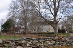
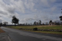
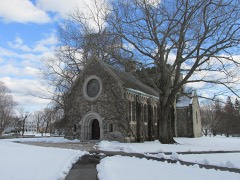
Built in 1899. Listed on the National Register of Historic Places in 1985.
From the record
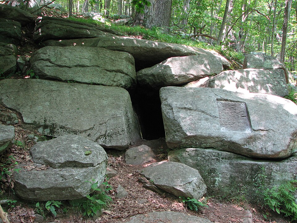
“Israel Putnam Wolf Den is a historic site off Wolf Den Road in Pomfret, Connecticut. At this location in 1742, Israel Putnam shot and killed Connecticut's last known wolf.”
Wikipedia article Israel Putnam Wolf Den, CC BY-SA 4.0.
One of 82 National Register listings published here for Windham County · listed in 1985 · category: Site · built in 1899.
National Register reference number.85000949- the number the National Park Service assigned this property when it was listed, and the key its nomination file is catalogued under at the National Archives.
THE town of Pomfret is one of the central towns of Windham county, lying a little north of the geographical center. It is surrounded by its sister towns, Woodstock on the north, Putnam and Killingly on the east, Brooklyn on the south, Hampton on the southwest, and Eastford on the west. Its original territory has been diminished by contributions toward Brooklyn on the south, Hampton on the southwest, and Putnam on the northeast. Its present dimensions are about six miles square, with irregular excesses of a mile in the southeast part, and a mile and a half upon the northwest corner of Brooklyn. Its area is about forty square miles. The surface of the town is hilly and rolling, but a large part of it presents a good soil and is well adapted for profitable culture. The Quinebaug river, which flows along the southern half of the eastern boundary, receives the Mashamoquet, which drains a large part of the surface of this town. The New York and New England railroad crosses the town diagonally from southwest to northeast, affording stations at Elliotts, Abington and Pomfret Centre. Each of these localities has a post office and the town contains other post offices, Pomfret and Pomfret Landing. The main village, known as Pomfret Street, is located on a beautifully commanding hill in the northern part of the town. The wide old street, lined with majestic shade trees and borders of the richest verdure, is filled with homes that speak from their neatness and luxurious furnishings, of peaceful, refreshing, health giving rest and enjoyments which they must afford to those whom fortune has favored with a resting place within them.
The territory occupied by Pomfret was included in the Wabbaquasset country, and came into the possession of Major Fitch in 1684. A number of Roxbury men having heard favorable reports of the land lying southward in Connecticut, opened negotiations with Major Fitch, and purchased 15,100 acres to be located by their choice in the Wabbaquasset country near the line of the Nipmuck country. The deed of this sale bore date May 1st, 1686, and the grantees named in it were Samuel Ruggles, Sr., John Chandler, Sr., Benjamin Sabin, John Grosvenor, Samuel Ruggles, Jr., and Joseph Griffin. A stipulation of the transfer deed was that within three years the ground should be chosen and that it should be owned in fourteen equal shares, twelve of which should be held by the grantees and two by Major Fitch. May 30th the deed was confirmed by the consent and signature of Owaneco and Josiah, his eldest son and heir. Six other proprietors who were admitted to make the required twelve were John Pierpont, John White, John Ruggles, John
Regional context, not property-specific
evidence. The
federal wildfire occurrence database
lists 69 fires within 5 miles of Israel Putnam Wolf Den
between 1993 and 2020, burning about 44 acres in total. None started naturally. 2 were recorded as arson.
Distance is straight-line from the map coordinates, so a fire counted
here may appear on a neighbouring settlement's page as well.
Reported cause
Fires
Missing data/not specified/undetermined
45
Recreation and ceremony
11
Debris and open burning
8
Arson/incendiarism
2
Smoking
2
Power generation/transmission/distribution
1
The most recent of
them, most recent first, with the day each was reported and the service
that recorded it.
Regional context, not property-specific
evidence. The federal mineral resources record lists
4 workings within 5 miles of Israel Putnam Wolf Den: 3 past producers, 1 producer.
1 still produces. What was taken out: Sand and Gravel, Construction, Stone, Dimension, Stone, Crushed/Broken. Distance is straight-line from the
map coordinates, so a quarry counted here may appear on a neighbouring
settlement's page as well.
Regional context, not property-specific
evidence. The National Weather Service names
Pomfret, the town this property stands in, in 25 storm reports between 1993 and 2023: 13 thunderstorm wind, 9 hail, 2 lightning, 1 flash flood.
No death or injury is recorded in these reports. Each account below is quoted exactly as the forecast office
filed it, from the NOAA Storm Events Database, and each date
opens the federal record of that event.
In Pomfret, a portion of Route 244 was partially washed out. Rainfall totals by early evening included 4.95 inches in Pomfret, 4.75 inches in 2.5 hours in Ashford, and 3.42 inches in Woodstock.
No historic map-sheet match is published
for this property yet. That does not mean no map exists. This record needs
a coordinate-quality review before it can be joined to a sheet boundary.
Browse the county's mapped places while that work is
pending.
Listed places nearby
6 within 8 miles
Other National Register properties close
enough to walk or drive between, ordered by distance from this one. Both
positions come from the same geocoding pass that matched these properties
to their map sheets.
Listing record. National Park Service National Register of Historic Places, listed-properties dataset, current to 2026-05-22.
Map join. Address geocoded through the United States Census geocoder, then tested against the published boundary of every sheet in the USGS Historical Topographic Map Collection.
How this page is made. Listing fields come from federal records; map-sheet coverage is a labelled coordinate-to-boundary calculation, not a source-field claim.
Wildfire. Short, Karen C. 2022. Spatial wildfire occurrence data for the United States, 1992-2020 [FPA_FOD_20221014]. 6th Edition. Fort Collins, CO: Forest Service Research Data Archive. https://doi.org/10.2737/RDS-2013-0009.6 Collected with United States Government funding and usable without additional permissions or fees.
Mines and quarries. USGS Mineral Resources Data System (MRDS) https://mrdata.usgs.gov/mrds/ A work of the United States government, no copyright under 17 U.S.C. 105.
Storms. NOAA National Centers for Environmental Information, Storm Events Database https://www.ncei.noaa.gov/stormevents/ A work of the United States government, no copyright under 17 U.S.C. 105. Narratives are quoted verbatim from the National Weather Service report and are not edited or summarised.
 Block