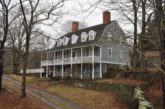
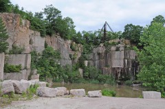
Listed on the National Register of Historic Places in 1990.
From the record
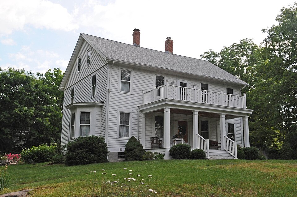
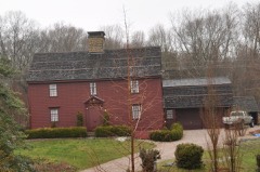
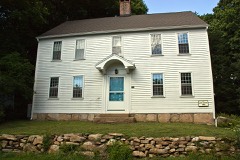
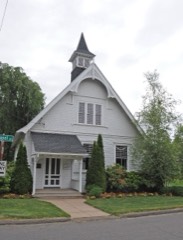
“The Route 146 Historic District encompasses a historic streetscape in Branford and Guilford, Connecticut. Extending along Connecticut Route 146 between Flat Rock Road in Branford and the West River bridge in Guilford, it includes two centuries of rural residential architecture, and a well-preserved pre-World War II Street layout created as a "state assistance road" in the 1920s.”
Wikipedia article Route 146 Historic District, CC BY-SA 4.0.
One of 272 National Register listings published here for New Haven County · listed in 1990 · category: District.
National Register reference number.90000569- the number the National Park Service assigned this property when it was listed, and the key its nomination file is catalogued under at the National Archives.
What happened here
An account from the chapter on Guilford town. The inset identifies its exact
source book and publication year.
Griffinr^ until 1808, when he was succeeded by Solomon Stone. During the early years of the century a vessel was wrecked on Goose Island and its crew of seven men perished from cold. The island was several times visited by boats from English men-of-war during the War of 1812, but no harm was done to the people or property, as a good light was kept burning.
THE original town of Guilford included the present town and Madison, which was set off in 1826. It stretched along the shore of Long Island sound from Branford to Killingworth, a distance of nearly ten miles, and was nearly eleven miles long from south to north. At the north end the width was not quite five miles, and at other points it was irregular. The boundary between Branford and Guilford was a straight line from the mouth of Stony creek to the center of Pistapaug pond, upon which cornered the towns of Wallingford, Branford, Guilford and Durham. The pond is a mile long from north to south, and half a mile wide. From this common center a line, extending northeast to the western branch of the Hammonassett river, formed the northern boundary, and separated Guilford from Durham. The eastern boundary was down that stream to the Hammonassett proper, thence down the middle of the river to Dudley's creek, thence down to West rock, on the sound. This separated the town from Killingworth. In this territory were for many years four Congregational societies, viz.: Guilford First Society, North Guilford, East Guilford (now Madison), and North Bristol (now North Madison). The latter two and a narrow strip, two miles long from the sound north, of the First Society, were constituted the town of Madison, thus leaving Guilford with a mean length of eleven miles and an average width of four miles, the town of Madison forming the eastern boundary, and having the East river in part as the dividing line.
The surface of Guilford presents a varied aspect. The northern part is elevated and broken by the northeastern extremity of Totoket mountain, which extends into its territory several miles, terminating in a bold bluff. Along Ouinnebaug pond and extending south to North Guilford Center are also a series of hills, some of them very steep. South of this are elevations bearing the local names of Long hill, a high ridge on the west side of the West river; Moose hill, of less altitude, extending into the town of Branford; and Clapboard hill, the elevation between the East creek and East river. South of these the change to the lowlands is rapid, there being only small elevations, showing upheavals of granite rock, with a hard and compact soil. Much of the entire surface is of a stony nature, better fitted for woodlands than for cultivation. But along the shore are alluvial plains and along the streams are some intervales having strong and generous soils, which with proper tillage yield profitable crops. Corn, wheat and the root crops have given bountiful returns and the agriculture of the town in its extent and products is not exceeded by an equal area in the county.
Regional context, not property-specific
evidence. The
federal wildfire occurrence database
lists 6 fires within 5 miles of Route 146 Historic District
between 1998 and 2017, burning about 34 acres in total. None started naturally. None was recorded as arson.
Distance is straight-line from the map coordinates, so a fire counted
here may appear on a neighbouring settlement's page as well.
Reported cause
Fires
Missing data/not specified/undetermined
4
Misuse of fire by a minor
1
Debris and open burning
1
The most recent of
them, most recent first, with the day each was reported and the service
that recorded it.
Regional context, not property-specific
evidence. The federal mineral resources record lists
16 workings within 5 miles of Route 146 Historic District: 15 past producers, 1 producer.
1 still produces. What was taken out: Granite, Stone, Dimension, Stone. Distance is straight-line from the
map coordinates, so a quarry counted here may appear on a neighbouring
settlement's page as well.
Regional context, not property-specific
evidence. The National Weather Service names
Branford, the town this property stands in, in 17 storm reports between 1993 and 2024: 14 thunderstorm wind, 2 hail, 1 flash flood.
No death or injury is recorded in these reports. Each account below is quoted exactly as the forecast office
filed it, from the NOAA Storm Events Database, and each date
opens the federal record of that event.
As a line of thunderstorms moved east, one developed into a severe thunderstorm producing high winds that knocked over a tree which fell onto a car. This was reported by a local television station.
Several trees and power lines were downed across eastern portions of the county. One resident's swimming pool was severely damaged by a falling tree. In Hamden, a limousine was almost totalled by a falling tree.
Police report wind damage to a home on Mill Road. A fence was twisted. Numerous trees were downed, windows blown in and furniture moved about. A home in North Haven was hit by a fallen tree that left two holes in the roof. Also a dog tied to a metal chain was killed by lightning in Cheshire.
Thunderstorms brought a recorded wind gust of 58 MPH to the Tweed-New Haven Airport. Screens were torn from windows in a condominium complex in East Haven and several large tree limbs were knocked down in Branford.
No historic map-sheet match is published
for this property yet. That does not mean no map exists. This record needs
a coordinate-quality review before it can be joined to a sheet boundary.
Browse the county's mapped places while that work is
pending.
Listed places nearby
6 within 8 miles
Other National Register properties close
enough to walk or drive between, ordered by distance from this one. Both
positions come from the same geocoding pass that matched these properties
to their map sheets.
Listing record. National Park Service National Register of Historic Places, listed-properties dataset, current to 2026-05-22.
Map join. Address geocoded through the United States Census geocoder, then tested against the published boundary of every sheet in the USGS Historical Topographic Map Collection.
How this page is made. Listing fields come from federal records; map-sheet coverage is a labelled coordinate-to-boundary calculation, not a source-field claim.
Wildfire. Short, Karen C. 2022. Spatial wildfire occurrence data for the United States, 1992-2020 [FPA_FOD_20221014]. 6th Edition. Fort Collins, CO: Forest Service Research Data Archive. https://doi.org/10.2737/RDS-2013-0009.6 Collected with United States Government funding and usable without additional permissions or fees.
Mines and quarries. USGS Mineral Resources Data System (MRDS) https://mrdata.usgs.gov/mrds/ A work of the United States government, no copyright under 17 U.S.C. 105.
Storms. NOAA National Centers for Environmental Information, Storm Events Database https://www.ncei.noaa.gov/stormevents/ A work of the United States government, no copyright under 17 U.S.C. 105. Narratives are quoted verbatim from the National Weather Service report and are not edited or summarised.
 Block