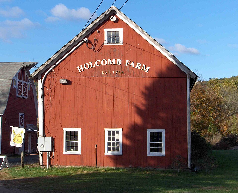
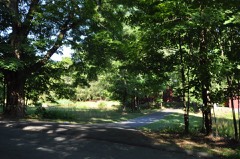
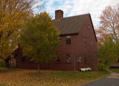
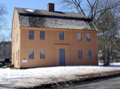
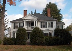
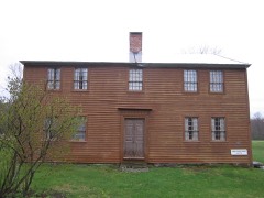
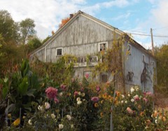
Listed on the National Register of Historic Places in 1992.
From the record
“The West Granby Historic District is a historic district in Granby, Connecticut, United States. It encompasses the historic village of West Granby, which extends along Simsbury Road between Firetown Road and Hartland Road.”
Wikipedia article West Granby Historic District, CC BY-SA 4.0.
One of 451 National Register listings published here for Hartford County · listed in 1992 · category: District.
National Register reference number.92000385- the number the National Park Service assigned this property when it was listed, and the key its nomination file is catalogued under at the National Archives.
Granby proper, and the first house there stood near the present residence of Mr. Dennison Case. Daniel Hays, of Indian fame, lived, about 1720, in a house which stood " below the hill," and near the present home of Mr. Joseph Sanford. It is also generally supposed that a block-house was erected still farther south, immediately in the rear of the house lately occupied by Mr. Charles Pettibone, where the settlers flocked in times of danger, and when in fear of any outbreak from the savage proprietors of the country.
The Rev. Israel Holly succeeded him in the parish, in October, 1784, remaining until 1793, when he in turn gave way to the Rev. Isaac Porter, who was ordained in June, 1794, and remained in the pastorate for more than thirty-eight years. Mr. Porter experienced many difiiculties during his long ministry. It would seem, from appearances, that he was a strict disciplinarian, and ruled his congregation with a rod of iron. Members were disciplined for absenting themselves from church services, and much dissatisfaction followed. At last Simeon Holcomb brought specific charges against the church, criticising the manner in which the sacrament was administered, complaining that the pastor had not been ordained and was not supported " in the Gospel way," and avowing that the church was impure and corrupt in many of its members. After Mr. Porter's dismissal he lost his property, and became dependent for his support upon the generosity of individuals ; the church, be it said to her shame, withholding her aid, in spite of his long and faithful pastorate. His successor, the Rev. Charles Bentley, was pastor from 1833 to 1839. Mr. Bentley consented to settle in Granby only on condition that a new church be erected ; and the present edifice was completed early in his pastorate.
Regional context, not property-specific
evidence. The
federal wildfire occurrence database
lists 52 fires within 5 miles of West Granby Historic District
between 1993 and 2020, burning about 42 acres in total. 2 started naturally. 3 were recorded as arson.
Distance is straight-line from the map coordinates, so a fire counted
here may appear on a neighbouring settlement's page as well.
Reported cause
Fires
Missing data/not specified/undetermined
29
Debris and open burning
9
Recreation and ceremony
5
Smoking
3
Arson/incendiarism
3
Natural
2
Power generation/transmission/distribution
1
The most recent of
them, most recent first, with the day each was reported and the service
that recorded it.
Regional context, not property-specific
evidence. The federal mineral resources record lists
21 workings within 5 miles of West Granby Historic District: 20 past producers, 1 producer.
1 still produces. What was taken out: Sand and Gravel, Construction, Copper, Stone, Dimension, Sulfur. Distance is straight-line from the
map coordinates, so a quarry counted here may appear on a neighbouring
settlement's page as well.
Regional context, not property-specific
evidence. The National Weather Service names
Granby, the town this property stands in, in 34 storm reports between 1997 and 2025: 20 thunderstorm wind, 7 hail, 4 flood, 2 lightning.
No death or injury is recorded in these reports. Each account below is quoted exactly as the forecast office
filed it, from the NOAA Storm Events Database, and each date
opens the federal record of that event.
At 3:15 PM EST, car windshields and house windows in Granby were smashed by tennis ball size hail. Tennis ball size hail was also reported in East Hartland.
Several roads were flooded in Granby. The Mockanum River in Manchester came out of its banks and threatened nearby homes. In Bristol, flooding was reported along a portion of Route 72. Several businesses were also flooded and Memorial Boulevard was closed. |Minor to moderate flooding also affected the larger mainstem rivers. The Connecticut River at Thompsonville crested at 7 feet at 3 pm on the 17th (flood stage is 5 feet), and at Hartford it crested at 23.4 feet at 1215 pm on the 18th (flood stage is 16 feet). On the Farmington River, a crest of 16.6 feet was recorded at Simsbury at 915 am on the 17th (flood stage is 12 feet), while at Tarriffville the river crested at 9.9 feet at 430 pm on the 17th (flood stage is 9 feet).
No historic map-sheet match is published
for this property yet. That does not mean no map exists. This record needs
a coordinate-quality review before it can be joined to a sheet boundary.
Browse the county's mapped places while that work is
pending.
Listed places nearby
6 within 8 miles
Other National Register properties close
enough to walk or drive between, ordered by distance from this one. Both
positions come from the same geocoding pass that matched these properties
to their map sheets.
Listing record. National Park Service National Register of Historic Places, listed-properties dataset, current to 2026-05-22.
Map join. Address geocoded through the United States Census geocoder, then tested against the published boundary of every sheet in the USGS Historical Topographic Map Collection.
How this page is made. Listing fields come from federal records; map-sheet coverage is a labelled coordinate-to-boundary calculation, not a source-field claim.
Wildfire. Short, Karen C. 2022. Spatial wildfire occurrence data for the United States, 1992-2020 [FPA_FOD_20221014]. 6th Edition. Fort Collins, CO: Forest Service Research Data Archive. https://doi.org/10.2737/RDS-2013-0009.6 Collected with United States Government funding and usable without additional permissions or fees.
Mines and quarries. USGS Mineral Resources Data System (MRDS) https://mrdata.usgs.gov/mrds/ A work of the United States government, no copyright under 17 U.S.C. 105.
Storms. NOAA National Centers for Environmental Information, Storm Events Database https://www.ncei.noaa.gov/stormevents/ A work of the United States government, no copyright under 17 U.S.C. 105. Narratives are quoted verbatim from the National Weather Service report and are not edited or summarised.
 Block