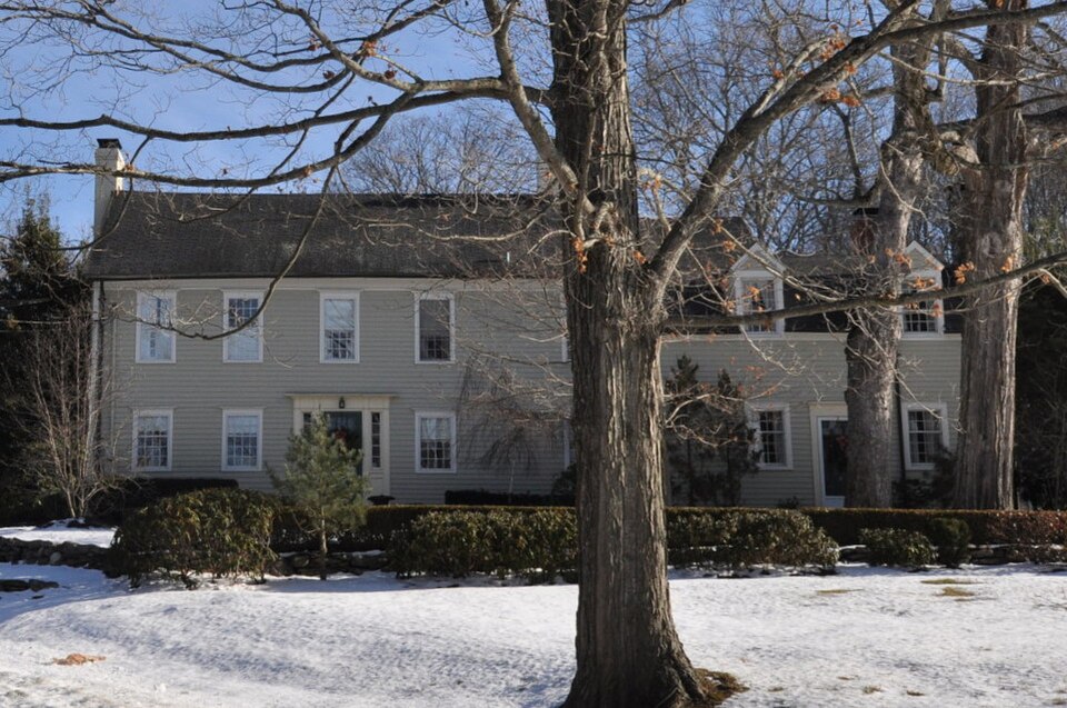
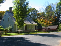
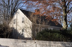
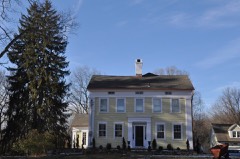
Built in 1704 (Federal architecture). Listed on the National Register of Historic Places in 1993.
From the record
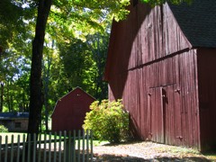
“The William Hurd House is a historic house at 327 Hulls Hill Road in Southbury, Connecticut. Built in the late 18th century and enlarged about 1820, it is a good local example of Federal period architecture, with well-preserved outbuildings.”
Wikipedia article William Hurd House, CC BY-SA 4.0.
One of 272 National Register listings published here for New Haven County · listed in 1993 · category: Building · built in 1704, Federal architecture.
National Register reference number.93000659- the number the National Park Service assigned this property when it was listed, and the key its nomination file is catalogued under at the National Archives.
The hills and streams have caused a number of localities, to which specific names have been applied. Along the Housatonic are Union Bridge, Bennett's Bridge and the Indian Pootatuck village. For many generations this has been the property of the Mitchell family, George W. Mitchell being the owner in 1890. Along the Eight Mile brook are Strongtown and Southford, and southwest of the latter is Kettle town. On the Pomperaug are White Oak, Southbury Center and South Britain. North of the latter are Pierce Hollow, Mulberry Corners and Transylvania. Southeast from this is a range of hill lands, called Poverty, whose derivation is not so clear as some of the foregoing.
A little more than a mile southeast from the center is a locality called " Pork Hollow," which received its name from the fact that during the revolution, when Shadrach Osborn, of this town, was a commissary sergeant or quartermaster, he caused several hundred barrels of pork to be stored there for safety, after the capture of Danbury. The provisions were under the guard of Captain Parsons and 50 men from Derby. About the same distance southwest from Southbury church, along the river, a large quantity of beef was stored until it could be moved elsewhere with safety.
Regional context, not property-specific
evidence. The
federal wildfire occurrence database
lists 190 fires within 5 miles of William Hurd House
between 1993 and 2020, burning about 282 acres in total. None started naturally. 22 were recorded as arson.
Distance is straight-line from the map coordinates, so a fire counted
here may appear on a neighbouring settlement's page as well.
Reported cause
Fires
Missing data/not specified/undetermined
122
Arson/incendiarism
22
Debris and open burning
21
Recreation and ceremony
12
Misuse of fire by a minor
7
Smoking
5
Fireworks
1
The most recent of
them, most recent first, with the day each was reported and the service
that recorded it.
Regional context, not property-specific
evidence. The federal mineral resources record lists
13 workings within 5 miles of William Hurd House: 9 past producers, 4 producers.
4 still produce. What was taken out: Sand and Gravel, Construction, Copper, Stone, Crushed/Broken, Quartz. Distance is straight-line from the
map coordinates, so a quarry counted here may appear on a neighbouring
settlement's page as well.
Regional context, not property-specific
evidence. The National Weather Service names
Southbury, the town this property stands in, in 18 storm reports between 1995 and 2024: 12 thunderstorm wind, 4 flash flood, 1 tornado, 1 hail.
No death or injury is recorded in these reports. Each account below is quoted exactly as the forecast office
filed it, from the NOAA Storm Events Database, and each date
opens the federal record of that event.
Pictures on social media along Route 67 near Pepper Tree Lane in Southbury. Debris all over road and trees down due to flood waters. Stranded vehicle off the road.
A professional Meteorologist confirmed the occurrence of an F0 tornado in Southbury at about 7:40 pm EDT on Friday, May 31st. His findings were supported by eyewitness reports.Tornadic damage was observed along Interstate 84 near Exit 14, which intersects with Route 172, Britain Road. Many large trees were snapped and uprooted, which also blocked traffic. The tornado touched down just south of Interstate 84, then moved just north of due east across the highway, which damaged trees and vegetation.Specifically, the tornado "wobbled" along I-84 for up to 200 yards, then "snaked" across the highway into the center median area, where it topped a tree and flattened shrubs and bushes. It snaked back to the south side of the east bound land, flattening additional trees and shrubs. After traveling up to another 150 yards, the tornado snaked across the highway and center median, flattening more trees and shrubs before roping out on the westbound lane.
No historic map-sheet match is published
for this property yet. That does not mean no map exists. This record needs
a coordinate-quality review before it can be joined to a sheet boundary.
Browse the county's mapped places while that work is
pending.
Listed places nearby
6 within 8 miles
Other National Register properties close
enough to walk or drive between, ordered by distance from this one. Both
positions come from the same geocoding pass that matched these properties
to their map sheets.
Listing record. National Park Service National Register of Historic Places, listed-properties dataset, current to 2026-05-22.
Map join. Address geocoded through the United States Census geocoder, then tested against the published boundary of every sheet in the USGS Historical Topographic Map Collection.
How this page is made. Listing fields come from federal records; map-sheet coverage is a labelled coordinate-to-boundary calculation, not a source-field claim.
Wildfire. Short, Karen C. 2022. Spatial wildfire occurrence data for the United States, 1992-2020 [FPA_FOD_20221014]. 6th Edition. Fort Collins, CO: Forest Service Research Data Archive. https://doi.org/10.2737/RDS-2013-0009.6 Collected with United States Government funding and usable without additional permissions or fees.
Mines and quarries. USGS Mineral Resources Data System (MRDS) https://mrdata.usgs.gov/mrds/ A work of the United States government, no copyright under 17 U.S.C. 105.
Storms. NOAA National Centers for Environmental Information, Storm Events Database https://www.ncei.noaa.gov/stormevents/ A work of the United States government, no copyright under 17 U.S.C. 105. Narratives are quoted verbatim from the National Weather Service report and are not edited or summarised.
 Block