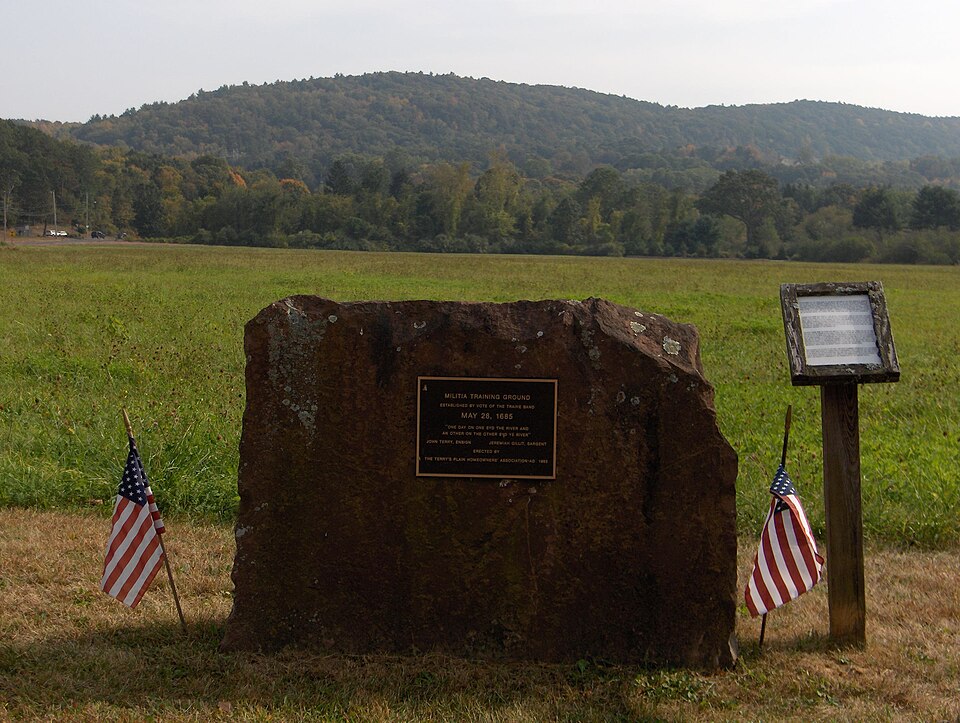
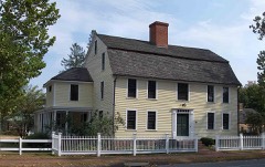
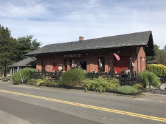
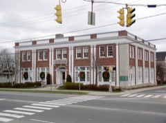
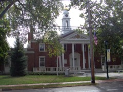
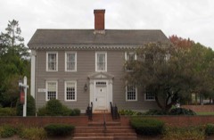
Listed on the National Register of Historic Places in 1993.
From the record
“The Terry's Plain Historic District is a 325-acre (132 ha) historic district in the town of Simsbury, Connecticut that was listed on the National Register of Historic Places in 1993. The district is significant as a preserved rural landscape.”
Wikipedia article Terry's Plain Historic District, CC BY-SA 4.0.
One of 451 National Register listings published here for Hartford County · listed in 1993 · category: District.
National Register reference number.93001417- the number the National Park Service assigned this property when it was listed, and the key its nomination file is catalogued under at the National Archives.
At the October session of the General Court in 1670 the deputies for Simsbury were John Griftin and Michael Humphrey. In 1671, as a mark of confidence, and in recognition of the integrity and trustw^orthiness of Mr. Simon Wolcot, the General Court granted to him liberty " to retail wine and liquors (provided he keep good order in the dispose of it) until there be an ordinary set up in Simsbury."
During the first five years after the incorporation of the town the numl)er of families perceptibly increased; but in 1675 a calamity impended which in the following year overwhelmed the town and dispersed its inhabitants. Philip's War had commenced. In Massachusetts and Plymouth colonies attacks were made upon some of their towns, many of their inhabitants killed, and houses pillaged and burned. Simsbury, being a frontier town, was peculiarly exjjosed to danger. By order of the General Court a garrison was established there, and kept up at the expense of the colony. A council of safety was established at Hartford, and was in daily session, for the protection of the colony. On the 6th of August the Council " Ordered the several towns to keep scouting parties of mounted men on the roads between town and town, for the prevention of danger to travellers," and " that Windsor, each other day, shall send four men to clear the roads to Simsbury." Rumors of danger increasing, the General Court, at its session in October, 1675, passed an order That the people of Simsbury shall have a week's time to secure themselves and their corn there ; and at the end of a week from this date the souldiers now in garrison at Simsbury shall be released their attendance there," - thus leaving the inhabitants to provide for their own safety.
Regional context, not property-specific
evidence. The
federal wildfire occurrence database
lists 53 fires within 5 miles of Terry's Plain Historic District
between 1993 and 2020, burning about 70 acres in total. 2 started naturally. 5 were recorded as arson.
Distance is straight-line from the map coordinates, so a fire counted
here may appear on a neighbouring settlement's page as well.
Reported cause
Fires
Missing data/not specified/undetermined
29
Debris and open burning
9
Recreation and ceremony
6
Arson/incendiarism
5
Natural
2
Misuse of fire by a minor
1
Fireworks
1
The most recent of
them, most recent first, with the day each was reported and the service
that recorded it.
Regional context, not property-specific
evidence. The federal mineral resources record lists
13 workings within 5 miles of Terry's Plain Historic District: 10 past producers, 3 producers.
3 still produce. What was taken out: Stone, Crushed/Broken, Sand and Gravel, Construction, Stone, Dimension, Copper. Distance is straight-line from the
map coordinates, so a quarry counted here may appear on a neighbouring
settlement's page as well.
Regional context, not property-specific
evidence. The National Weather Service names
Simsbury, the town this property stands in, in 26 storm reports between 1993 and 2025: 17 thunderstorm wind, 4 hail, 2 flash flood, 2 flood.
No death or injury is recorded in these reports. Each account below is quoted exactly as the forecast office
filed it, from the NOAA Storm Events Database, and each date
opens the federal record of that event.
Several mainstem rivers and small streams in Hartford County went into flood. These include the Farmington River at Tariffville, Unionville, and Simsbury, the Bunnell Brook at Burlington, and the Quinnipiac River at Southington. In addition, basements were flooded in Berlin and Avon. Several intersections were flooded, including the intersection of Old Farms and Tillotson Roads in Avon and the intersection of Wolcott and Wescott Roads in Simsbury. In New Britain, sewers backed up on Pierremount Avenue, flooding numerous houses.
Numerous roads were closed throughout Bloomfield because of water one to two feet deep over the roads. In addition, a ten foot section of Bloomfield Avenue was washed out near the intersection of Bloomfield Avenue and Route 218.
Large limbs were downed in Simsbury and Southington while lightning caused a fire which destroyed a hay-filled 200-year-old barn in Glastonbury. This lightning/wind event was the first of many in Connecticut that knocked out power to at least 44,000 customers that afternoon.
No historic map-sheet match is published
for this property yet. That does not mean no map exists. This record needs
a coordinate-quality review before it can be joined to a sheet boundary.
Browse the county's mapped places while that work is
pending.
Listed places nearby
6 within 8 miles
Other National Register properties close
enough to walk or drive between, ordered by distance from this one. Both
positions come from the same geocoding pass that matched these properties
to their map sheets.
Listing record. National Park Service National Register of Historic Places, listed-properties dataset, current to 2026-05-22.
Map join. Address geocoded through the United States Census geocoder, then tested against the published boundary of every sheet in the USGS Historical Topographic Map Collection.
How this page is made. Listing fields come from federal records; map-sheet coverage is a labelled coordinate-to-boundary calculation, not a source-field claim.
Wildfire. Short, Karen C. 2022. Spatial wildfire occurrence data for the United States, 1992-2020 [FPA_FOD_20221014]. 6th Edition. Fort Collins, CO: Forest Service Research Data Archive. https://doi.org/10.2737/RDS-2013-0009.6 Collected with United States Government funding and usable without additional permissions or fees.
Mines and quarries. USGS Mineral Resources Data System (MRDS) https://mrdata.usgs.gov/mrds/ A work of the United States government, no copyright under 17 U.S.C. 105.
Storms. NOAA National Centers for Environmental Information, Storm Events Database https://www.ncei.noaa.gov/stormevents/ A work of the United States government, no copyright under 17 U.S.C. 105. Narratives are quoted verbatim from the National Weather Service report and are not edited or summarised.
 Block