 Block
Ashland, Delaware
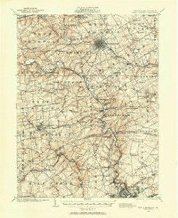
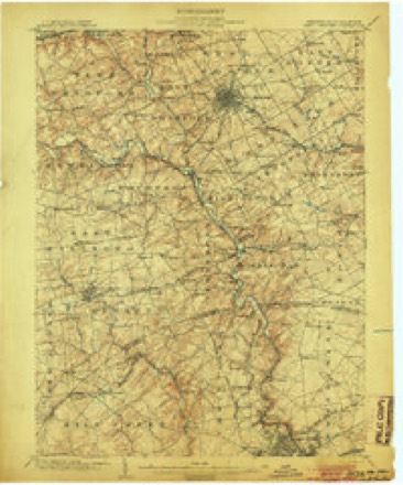
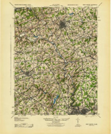
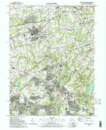
33 topographic sheets cover this place, the earliest surveyed in 1901 and the latest in 1993. It stands in the Piedmont census division. It lies in ZIP code area 19707. It stands on Burrows Run. The Survey maps it on the Kennett Square quadrangle.
On record in Ashland
Buildings and businesses the archive holds for this place. Each opens its own page, with the source record it came from.
On the National Register 1 record
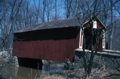 Ashland Bridgelisted 1973
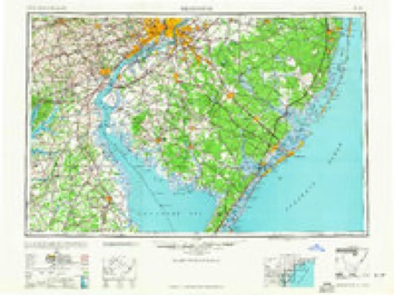
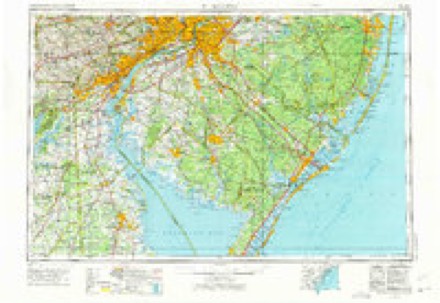
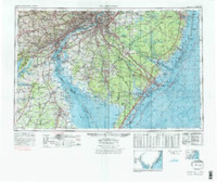
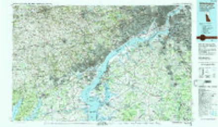
Topographic sheets covering this place
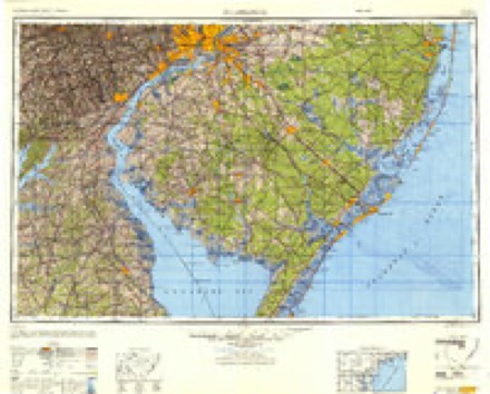
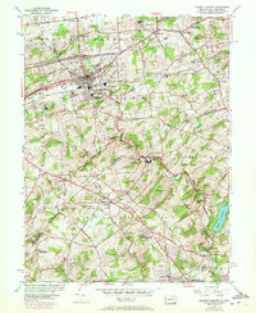
12 surveys from 33 printed sheetsMatched by testing this settlement's coordinate against the published boundary of every sheet in the United States Geological Survey's historical collection. Each opens the scanned sheet at the Survey.
- 1901 USGS West Chester quadrangle1:62500
- 1904 USGS West Chester quadrangle1:62500, 8 printings
- 1943 USGS West Chester quadrangle1:62500
- 1946 USGS Wilmington quadrangle1:250000, 2 printings
- 1954 USGS Kennett Square quadrangle1:24000, 6 printings
- 1955 USGS Wilmington quadrangle1:250000
- 1957 USGS Wilmington quadrangle1:250000, 2 printings
- 1959 USGS Wilmington quadrangle1:250000, 3 printings
- 1966 USGS Wilmington quadrangle1:250000, 4 printings
- 1972 USGS Wilmington quadrangle1:250000, 2 printings
- 1984 USGS Wilmington quadrangle1:100000, 2 printings
- 1993 USGS Kennett Square quadrangle1:24000
Fires near this place
11 since 2003Regional context, not property-specific evidence. The federal wildfire occurrence database lists 11 fires within 5 miles of Ashland between 2003 and 2018, burning about 2 acres in total. 1 started naturally. None was recorded as arson. Distance is straight-line from the map coordinates, so a fire counted here may appear on a neighbouring settlement's page as well.
| Reported cause | Fires |
|---|---|
| Missing data/not specified/undetermined | 8 |
| Equipment and vehicle use | 1 |
| Natural | 1 |
| Smoking | 1 |
The most recent of them, most recent first, with the day each was reported and the service that recorded it.
| Date | Cause | Size | Reported by | Name on the report |
|---|---|---|---|---|
| 22 August 2003 | Smoking | under an acre | Delaware State Fire Marshal's Office | not named |
| 23 June 2003 | Missing data/not specified/undetermined | under an acre | Delaware State Fire Marshal's Office | not named |
| 8 May 2005 | Missing data/not specified/undetermined | 1.0 acres | Delaware State Fire Marshal's Office | not named |
| 26 April 2005 | Equipment and vehicle use | under an acre | Delaware State Fire Marshal's Office | not named |
| 22 April 2005 | Missing data/not specified/undetermined | under an acre | Delaware State Fire Marshal's Office | not named |
| 19 April 2005 | Missing data/not specified/undetermined | under an acre | Delaware State Fire Marshal's Office | not named |
| 18 April 2005 | Missing data/not specified/undetermined | under an acre | Delaware State Fire Marshal's Office | not named |
| 27 February 2018 | Missing data/not specified/undetermined | under an acre | Pennsylvania Division of Forest Fire Protection | STRIKER |
Settlements close enough to share some of these fires:
Mines and quarries near this place
1 within 5 milesRegional context, not property-specific evidence. The federal mineral resources record lists 1 working within 5 miles of Ashland: 1 occurrence. None of them still produces. What was taken out: Mica. Distance is straight-line from the map coordinates, so a quarry counted here may appear on a neighbouring settlement's page as well.
| Where | Site | Commodity | Status | Recorded |
|---|---|---|---|---|
| Fairville Mica Occurrence | Mica | Occurrence |
Storms near this place
4 since 2014Regional context, not property-specific evidence. The National Weather Service names Ashland in 4 storm reports between 2014 and 2021: 2 thunderstorm wind, 1 flash flood, 1 tornado. No death or injury is recorded in these reports. Each account below is quoted exactly as the forecast office filed it, from the NOAA Storm Events Database, and each date opens the federal record of that event.
| When | Event | Place named | Harm | What the report says |
|---|---|---|---|---|
| July 2014 | Thunderstorm Wind | Ashland | $20,000 | A severe thunderstorm knocked down trees along three roadways in the Yorklyn area in Mill Creek Hundred. Trees were reported down along Old Kennett Pike and Snuff Mill and Creek Roads. |
| June 2021 | Thunderstorm Wind | Ashland | - | Several reports of downed tree limbs and power lines in the area. Time estimated from radar. |
| August 2020 | Tornado (EF1) | Ashland | - | A tornado touched down around 5:40 PM on August 7th close to the |Ashland Nature Center of the Delaware Nature Society or just east |of the intersection of Brackenville Road and Barley Mill Road |where some tree damage occurred. The tornado continued east |southeast to the Swallow Hill area where there were multiple trees|down across Pyles Ford Road. Trees were snapped at the trunk, |with one tree falling on the roof of a house. Pyles Ford Road was |closed due to the amount of tree damage across the road. This wind|damage was estimated to be 105 mph, equivalent to an EF1 on the |Enhanced Fujita Scale. ||The tornado continued in an easterly direction where substantial |tree damage occurred just north of Valley Garden Park where over |20 trees were uprooted or damaged. Campbell Road was also closed |due to the multiple trees down. More damage occurred along Kennett|Pike between Kirk Road and the entrance of Wilmington Country |Club where several trees were uprooted along with large tree limbs|knocked down. The tornado continued through the Wilmington |Country Club where approximately 200 trees were damaged. A noted |convergent pattern in the debris was observed in the tree damage |across the Wilmington Country Club. The tornado then continued |eastward before lifting prior to reaching Rockland, Delaware. No |further damage was noted in the DuPont Country Club or on Concord |Pike. |
| June 2018 | Flash Flood | Ashland | - | Minor flooding occurred along the Red Clay Creek. The gauge at Wooddale reached a peak of 7.55 feet at 2:15 a.m. EST. Flood stage is 7 feet. |
Nearest settlements
The eight closest, with where each one stands in the county. Distances are straight-line, computed from the Geographic Names Information System coordinates.
| Map | Place | Distance | Sheets |
|---|---|---|---|
| Skyline Orchard | 0.6 miles | 33 | |
| Montgomery Woods | 0.7 miles | 33 | |
| Brackenville Woods | 0.7 miles | 33 | |
| Horseshoe Hill | 0.7 miles | 33 | |
| Yorklyn Ridge | 0.9 miles | 33 | |
| Larchmont | 0.9 miles | 33 | |
| Snug Hill | 1.1 miles | 33 | |
| Valley View | 1.1 miles | 33 |
Provenance
This settlement is recorded in the Geographic Names Information System as feature 216020. The sheet list is computed by point-in-boundary test against the United States Geological Survey's historical topographic inventory. Both are works of the United States government and carry no copyright under 17 U.S.C. 105.
Wildfire. Short, Karen C. 2022. Spatial wildfire occurrence data for the United States, 1992-2020 [FPA_FOD_20221014]. 6th Edition. Fort Collins, CO: Forest Service Research Data Archive. https://doi.org/10.2737/RDS-2013-0009.6 Collected with United States Government funding and usable without additional permissions or fees.
Mines and quarries. USGS Mineral Resources Data System (MRDS) https://mrdata.usgs.gov/mrds/ A work of the United States government, no copyright under 17 U.S.C. 105.
Storms. NOAA National Centers for Environmental Information, Storm Events Database https://www.ncei.noaa.gov/stormevents/ A work of the United States government, no copyright under 17 U.S.C. 105. Narratives are quoted verbatim from the National Weather Service report and are not edited or summarised.