 Block
Dewey Beach, Delaware
31 topographic sheets cover this place, the earliest surveyed in 1918 and the latest in 1984. It stands in the Lewes census division. It lies in ZIP code area 19971. It stands on Stockley Creek. The Survey maps it on the Rehoboth Beach quadrangle. 353 people lived here at the 2020 count. It stands 7 feet above sea level.
Population over time
2 figuresDewey Beach grew from 341 to 353 between 2010 and 2020. These are the recorded population figures Wikidata holds for this place, reached through the Geographic Names Information System number this page is keyed on rather than by name, so they belong to this place and not to another of the same name. Most are census counts, but not all are: an early figure may be a founding or settlement estimate, and an estimate published within five years of a census is left out. The change column is computed, and is left blank where more than 20 years separate a figure from the one before it, because a gap that long is not a change between two counts.
| Year | People | Change |
|---|---|---|
| 2010 | 341 | |
| 2020 | 353 | +12 (+4%) |
Topographic sheets covering this place
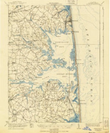
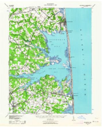
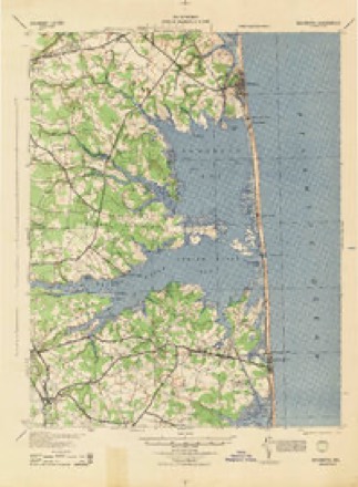
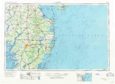
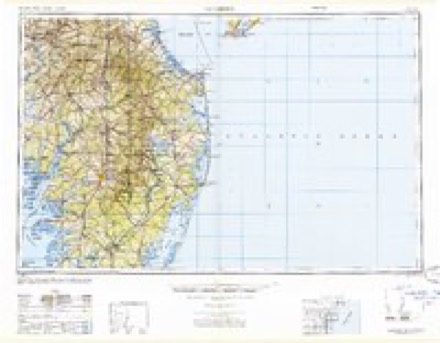
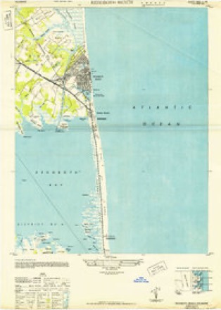
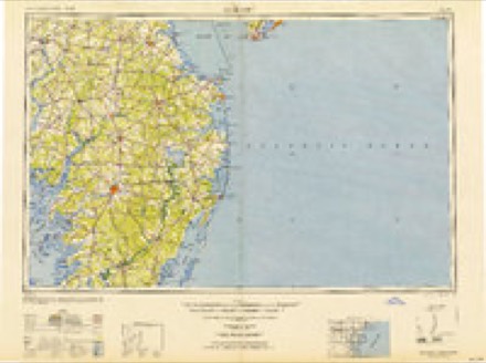
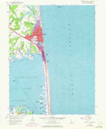
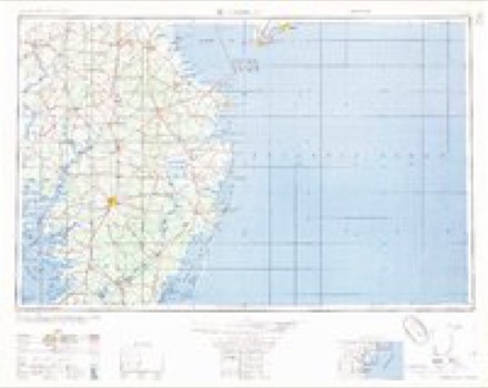
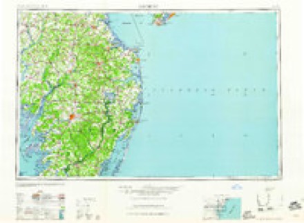
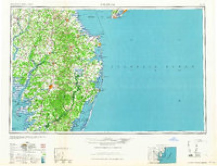
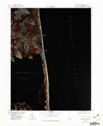
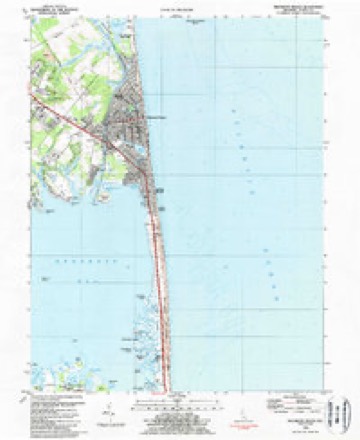
14 surveys from 31 printed sheetsMatched by testing this settlement's coordinate against the published boundary of every sheet in the United States Geological Survey's historical collection. Each opens the scanned sheet at the Survey.
- 1918 USGS Rehoboth quadrangle1:62500, 8 printings
- 1938 USGS Rehoboth quadrangle1:62500, 2 printings
- 1944 USGS Rehoboth quadrangle1:62500
- 1946 USGS Salisbury quadrangle1:250000, 4 printings
- 1947 USGS Salisbury quadrangle1:250000
- 1948 USGS Rehoboth Beach quadrangle1:24000, 2 printings
- 1948 USGS Salisbury quadrangle1:250000
- 1954 USGS Rehoboth Beach quadrangle1:24000, 3 printings
- 1957 USGS Salisbury quadrangle1:250000
- 1961 USGS Salisbury quadrangle1:250000
- 1965 USGS Salisbury quadrangle1:250000
- 1980 USGS Rehoboth Beach quadrangle1:25000
- 1984 USGS Rehoboth Beach quadrangle1:24000, 3 printings
- 1984 USGS Seaford quadrangle1:100000, 2 printings
Fires near this place
3 since 2015Regional context, not property-specific evidence. The federal wildfire occurrence database lists 3 fires within 5 miles of Dewey Beach between 2015 and 2020, burning about 34 acres in total. None started naturally. None was recorded as arson. Distance is straight-line from the map coordinates, so a fire counted here may appear on a neighbouring settlement's page as well.
| Reported cause | Fires |
|---|---|
| Smoking | 1 |
| Power generation/transmission/distribution | 1 |
| Debris and open burning | 1 |
The most recent of them, most recent first, with the day each was reported and the service that recorded it.
| Date | Cause | Size | Reported by | Name on the report |
|---|---|---|---|---|
| 26 May 2015 | Smoking | 16 acres | Delaware Forest Service | SAVAGES FIRE |
| 20 April 2016 | Debris and open burning | 16 acres | Delaware Forest Service | COASTAL |
| 19 November 2020 | Power generation/transmission/distribution | 2.0 acres | Delaware Forest Service | ARROWHEAD FIRE |
Settlements close enough to share some of these fires:
Storms near this place
27 since 1995Regional context, not property-specific evidence. The National Weather Service names Dewey Beach in 27 storm reports between 1995 and 2026: 20 thunderstorm wind, 2 lightning, 1 waterspout, 1 tornado. The reports record 1 death. Each account below is quoted exactly as the forecast office filed it, from the NOAA Storm Events Database, and each date opens the federal record of that event.
| When | Event | Place named | Harm | What the report says |
|---|---|---|---|---|
| September 2005 | Rip Current | Dewey Beach | 1 killed | no account filed |
| November 1995 | Thunderstorm Wind | Dewey Beach | $1,000,000 | A very strong cold front blasted through the region the evening of the 11th. Southerly winds increased during the day and started gusting over 50 mph during the early evening. They peaked as the cold front moved through between 8 pm and 1030 pm. The worst damage occurred in Dewey Beach as a severe thunderstorm exacerbated the damaging wind gusts. The Dodd Avenue and Chicago Street areas were hardest hit. Four houses were severely damaged and more than thirty others suffered minor damage. Part of the roof of one Dodd Street house was found three blocks away. Delaware State Route 1 within Dewey Beach was closed because of strewn debris. Damage estimates were around one million dollars and miraculously no serious injuries were reported. Wind related damage was reported elsewhere throughout the state. About 2,500 Delmarva Power and Light customers lost power in Cecil and New Castle Counties. Porter Road south of Christiana was closed because of fallen trees. In Kent County, a house near Clayton suffered major wind damage. In Sussex County, a chicken house in Millville collapsed, killing 10,000 chickens. Elsewhere in Sussex County a house was badly damaged in Angola, a barn was destroyed in Cool Spring, a garage was flattened and chimney damaged in Georgetown and the Pilot Tower at Cape Henlopen recorded a wind gust to 78 mph. ~ DEZ002>004,14,1200EST- *,14,1600EST,,,0,0,,,Coastal Flooding The first nor'easter of the fall/winter season caused minor tidal flooding the afternoon of the 14th in Kent and Sussex Counties. The gradient between a high pressure system in Quebec Province and the developing nor'easter east of North Carolina produced a stiff east wind. Consequently, the high tides were a little more than three feet above normal. This produced a high tide of 7.1 feet (Above Mean Low Water) in Lewes. Roads susceptible to tidal flooding were covered and/or closed at high tide. In Kent County Hubbard Avenue in Bowers Beach was under water. A parking lot in Little Creek was submerged. Parts of the bayside communities of Woodland Beach and Pickering Beach were inaccessible. South Bowers became an island as waves were breaking on Kent County Road 121, the only road into South Bowers. In addition, the high tide caused flooding along the Murderkill River, which flooded near Webb Landing shutting it off further. In Sussex County the road between the Indian River Outlet and the South Shore Marina was under two and a half feet of water. Tidal flooding caused roadway flooding in Lewes, Dewey and along State Route 54. By the overnight high tide, the nor'easter moved inland into Southern New Jersey and tidal flooding was less. |
| August 2007 | Lightning | Dewey Beach | $175,000 | Thunderstorms produced about 2,300 cloud-to-surface lightning strikes in Sussex County and the nearby waters between 11 p.m. EDT and Midnight EDT. Two lightning strikes caused damage. Lightning struck the chimney of an unoccupied unit of a townhouse complex in Port Lewes. The ensuing fire spread along the exterior of the unit to the adjoining unit in the complex. The residents of that unit were evacuated. Four fire companies battled the blaze. Damage was estimated at $150,000. No serious injuries were reported. In Rehoboth Beach, the fire station and city hall were struck by lightning. The strike fried the 911 system. The combination of wind and lightning caused about 7,000 homes and businesses to lose power in Sussex County. All power was restored by 3 a.m. EDT on the 17th.| |
| June 2012 | Thunderstorm Wind | Dewey Beach | $50,000 | A severe thunderstorm caused wind damage as it moved through Dewey Beach. The thunderstorm winds damaged mobile homes on Rodney Street. The severe thunderstorm ripped apart sections of the observation deck roof, the deck itself and awning of the Lighthouse Restaurant. The Rusty Rudder Restaurant also was damaged. The severe thunderstorm also knocked down trees and electrical poles. There was one pole fire on Collins Street Northbound Delaware State Route 1 was closed until the afternoon of the 25th. Delmarva Power and Light reported about 170 of its customers in Dewey Beach lost power. A wind gust of 69 mph was measured at a WeatherFlow mesonet site within Dewey Beach. |
| March 2026 | Thunderstorm Wind | Dewey Beach | - | The Dewey Beach mesonet measured a 58 MPH gust. |
| June 2025 | Thunderstorm Wind | Dewey Beach | - | Dewey Beach mesonet gusted to 52 kt. Time given in report. |
| July 2023 | Thunderstorm Wind | Dewey Beach | - | Mesonet station xdew Dewey Beach. Time given in observation. |
| May 2020 | Thunderstorm Wind | Dewey Beach | - | Power lines were downed near Conquest Rd. Time estimated from radar. |
| May 2020 | Thunderstorm Wind | Dewey Beach | - | Measured by a Weatherflow sensor on Indian Beach. |
| August 2019 | Thunderstorm Wind | Dewey Beach | - | Measured by a Weatherflow gauge. |
| July 2018 | Thunderstorm Wind | Dewey Beach | - | Utility poles and trees were downed near Dodd Ave. and Salisbury St. Roof damage to a home was also reported. Time best estimated from radar. |
| July 2018 | Thunderstorm Wind | Dewey Beach | - | Utility poles and trees down near intersections of Dodd Ave and Salisbury Street. Roof damage to a house was also reported. Time estimated from radar. |
| July 2017 | Heavy Rain | Dewey Beach | - | Just over three inches of rain fell in 12 hours. |
| July 2016 | Thunderstorm Wind | Dewey Beach | - | A measured wind gust of 56 knots occurred with a thunderstorm at a weatherflow site. |
| July 2016 | Thunderstorm Wind | Dewey Beach | - | A measured 50 knot thunderstorm wind gust occurred due to a thunderstorm. |
| July 2016 | Thunderstorm Wind | Dewey Beach | - | Measured thunderstorm wind gust. |
| June 2016 | Thunderstorm Wind | Dewey Beach | - | A 59 MPH thunderstorm wind gust was recorded. |
| June 2013 | Thunderstorm Wind | Dewey Beach | - | A severe thunderstorm produced a 70 mph wind gust at Dewey Beach. |
| June 2009 | Thunderstorm Wind | Dewey Beach | - | A wind gust of 61 mph was measured at Dewey Beach during a severe thunderstorm. |
| May 1995 | Thunderstorm Wind | Dewey Beach | - | Thunderstorm winds knocked over poles for two miles along Delaware State Highway 1. |
| February 2020 | Thunderstorm Wind | Dewey Beach | - | no account filed |
| February 2020 | Thunderstorm Wind | Dewey Beach | - | no account filed |
| August 2019 | Hail | Dewey Beach | - | no account filed |
| August 2019 | Thunderstorm Wind | Dewey Beach | - | no account filed |
| April 2002 | Lightning | Dewey Beach | - | no account filed |
| August 1998 | Waterspout | Dewey Beach | - | no account filed |
| August 1998 | Tornado (F0) | Dewey Beach | - | no account filed |
Nearest settlements
The eight closest, with where each one stands in the county. Distances are straight-line, computed from the Geographic Names Information System coordinates.
| Map | Place | Distance | Sheets |
|---|---|---|---|
| Seabreeze | 0.4 miles | 31 | |
| Indian Beach | 0.5 miles | 31 | |
| Anne Acres | 0.7 miles | 31 | |
| Killens Addition | 0.7 miles | 31 | |
| Silver Lake Shores | 0.8 miles | 31 | |
| Dodds Addition | 0.8 miles | 31 | |
| Silver Lake Manor | 1.0 miles | 31 | |
| Spring Lake | 1.1 miles | 31 |
Elsewhere
Matched on this settlement's Geographic Names Information System number rather than its name, so it cannot be a different place of the same name in another state.
| Wikipedia article on Dewey Beach | An encyclopaedic summary. Its text is share-alike, so it is linked here rather than copied. |
| Wikidata item Q755722 | The structured record the population and elevation above come from. Public domain (CC0). |
Provenance
This settlement is recorded in the Geographic Names Information System as feature 213884. The sheet list is computed by point-in-boundary test against the United States Geological Survey's historical topographic inventory. Both are works of the United States government and carry no copyright under 17 U.S.C. 105.
Wildfire. Short, Karen C. 2022. Spatial wildfire occurrence data for the United States, 1992-2020 [FPA_FOD_20221014]. 6th Edition. Fort Collins, CO: Forest Service Research Data Archive. https://doi.org/10.2737/RDS-2013-0009.6 Collected with United States Government funding and usable without additional permissions or fees.
Storms. NOAA National Centers for Environmental Information, Storm Events Database https://www.ncei.noaa.gov/stormevents/ A work of the United States government, no copyright under 17 U.S.C. 105. Narratives are quoted verbatim from the National Weather Service report and are not edited or summarised.