 Block
Dublin Hill, Delaware
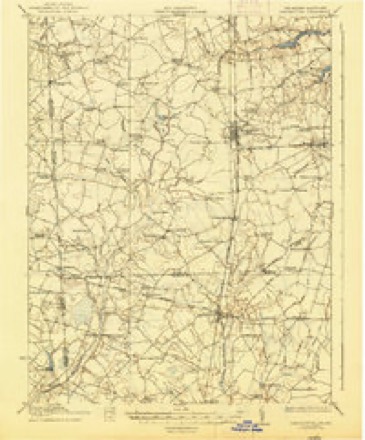
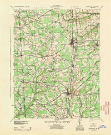
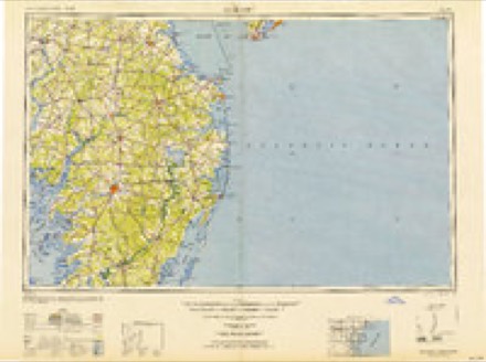
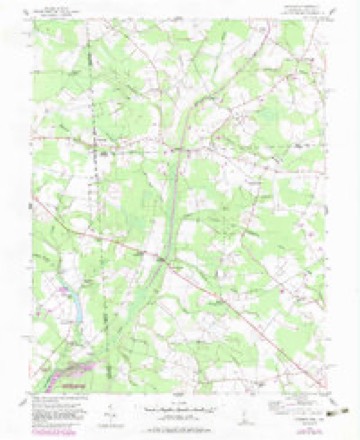
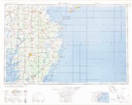
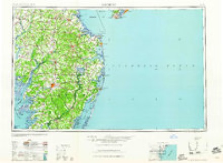
19 topographic sheets cover this place, the earliest surveyed in 1918 and the latest in 1993. It stands in the Bridgeville-Greenwood census division. It lies in ZIP code area 19933. The Survey maps it on the Hickman quadrangle.
Topographic sheets covering this place
11 surveys from 19 printed sheetsMatched by testing this settlement's coordinate against the published boundary of every sheet in the United States Geological Survey's historical collection. Each opens the scanned sheet at the Survey.
- 1918 USGS Harrington quadrangle1:62500, 4 printings
- 1944 USGS Harrington quadrangle1:62500
- 1946 USGS Salisbury quadrangle1:250000, 4 printings
- 1947 USGS Salisbury quadrangle1:250000
- 1948 USGS Salisbury quadrangle1:250000
- 1955 USGS Hickman quadrangle1:24000, 2 printings
- 1957 USGS Salisbury quadrangle1:250000
- 1961 USGS Salisbury quadrangle1:250000
- 1965 USGS Salisbury quadrangle1:250000
- 1984 USGS Seaford quadrangle1:100000, 2 printings
- 1993 USGS Hickman quadrangle1:24000
Fires near this place
8 since 2006Regional context, not property-specific evidence. The federal wildfire occurrence database lists 8 fires within 5 miles of Dublin Hill between 2006 and 2020, burning about 9 acres in total. None started naturally. 3 were recorded as arson. Distance is straight-line from the map coordinates, so a fire counted here may appear on a neighbouring settlement's page as well.
| Reported cause | Fires |
|---|---|
| Arson/incendiarism | 3 |
| Debris and open burning | 2 |
| Equipment and vehicle use | 2 |
| Missing data/not specified/undetermined | 1 |
The most recent of them, most recent first, with the day each was reported and the service that recorded it.
| Date | Cause | Size | Reported by | Name on the report |
|---|---|---|---|---|
| 22 September 2007 | Equipment and vehicle use | 2.6 acres | Maryland Department of Natural Resources Forest Service | not named |
| 6 August 2010 | Missing data/not specified/undetermined | under an acre | Maryland Department of Natural Resources Forest Service | HRYNKO ROAD |
| 10 June 2012 | Arson/incendiarism | under an acre | Maryland Department of Natural Resources Forest Service | SMITHVILLE RD. |
| 12 April 2019 | Debris and open burning | 2.0 acres | Delaware Forest Service | BLADES |
| 12 April 2015 | Equipment and vehicle use | 1.0 acres | Delaware Forest Service | CROP FIRE |
| 11 April 2020 | Arson/incendiarism | 2.0 acres | Delaware Forest Service | MARSHYHOPE FIRE |
| 29 March 2008 | Debris and open burning | under an acre | Maryland Department of Natural Resources Forest Service | not named |
| 18 March 2006 | Arson/incendiarism | under an acre | Maryland Department of Natural Resources Forest Service | not named |
Settlements close enough to share some of these fires:
Mines and quarries near this place
1 within 5 milesRegional context, not property-specific evidence. The federal mineral resources record lists 1 working within 5 miles of Dublin Hill: 1 past producer. None of them still produces. What was taken out: Iron. Distance is straight-line from the map coordinates, so a quarry counted here may appear on a neighbouring settlement's page as well.
| Where | Site | Commodity | Status | Recorded |
|---|---|---|---|---|
| Smithville Bank | Iron | Past Producer |
Storms near this place
5 since 2000Regional context, not property-specific evidence. The National Weather Service names Dublin Hill in 5 storm reports between 2000 and 2023: 2 heavy rain, 2 thunderstorm wind, 1 tornado. The reports record 1 death. Each account below is quoted exactly as the forecast office filed it, from the NOAA Storm Events Database, and each date opens the federal record of that event.
| When | Event | Place named | Harm | What the report says |
|---|---|---|---|---|
| April 2023 | Tornado (EF3) | Dublin Hill | 1 killed | The Bridgeville-Ellendale Tornado began around 5:59 PM EDT near the intersection of Polk Road and Dublin Hill Road where a section of a small barn roof was blown off. The tornado continued east-northeast crossing Seashore Highway. Along this section of the |damage path, a couple wooden power poles were blown down along with several trees uprooted or snapped. On tree fell onto a house causing significant collateral roof damage. The tornado continued eastward paralleling Newton Road where a farmstead sustain significant tree damage. About a half dozen parked semi-trailers were blow over along a driveway. Farther east, more tree damage and snapped power poles were observed. Near the intersection of Precious Lane and Newton Road, a 2 story house was collapsed after appearing to have slid off its foundation. A small outbuilding was also severely damaged nearby. Debris from this area was blown several hundred yards east into nearby fields. Another farmstead was struck by the tornado as it continued east on Dale Farm Road. A large barn had 2 exterior walls blown out and a smaller shed was blown over. Several trees were also snapped or uprooted on the |property.||The tornado continued east, crossing a railroad track and impacting a Delaware Department of Transportation facility. Along the railroad track, a half dozen or more wooden high tension power poles were snapped and collapsed along with 2 steel high tension power poles. This is where the tornado's estimated peak wind speeds of 140 mph were reached. The DE DOT facility sustained significant damage. A maintenance garage building experienced a collapse of an exterior wall and large portion of its roof. 2 smaller garage buildings nearby experienced several garage doors blown out, roofing material removal, and exterior wall damage. A building storing road salt had it's roof completely destroyed. The facility's office building had a few windows blown out, siding, |and roofing material blown off. Some of the siding material was found embedded into the ground downstream where a Delaware Environmental Observing System mesonet gauge measured a 98 mph wind gust at 3 meters (10 feet) above the ground at 6:05 PM EDT.||The tornado continued across a field, then crossed US Route 13 where a few utility poles were snapped. The tornado continued east into a wooded area where significant tree damage occurred. Numerous trees were snapped, one of which fell onto a double-wide manufactured home. After continuing through the wooded area, the tornado emerged into a field along Sugar Hill Road. A house along the road sustained significant roof removal, exterior wall damage, and blown out windows. A small outbuilding sustained roof material removal and several trees near the house were snapped or |uprooted. The tornado continued across Sugar Hill Road and east into another field where 2 irrigation pivots were blown over. The tornado emerged into a wooded residential area along Fawn Road where the tornado appeared to have intensified. The tornado cause significant uprooted and snapped trees in the area as well as significant removal of roofing material and blown out windows to some of the single-family houses along Fawn Road. Farther east, the significant tree damage continued and a large detached garage collapsed.||The tornado continued northeast toward the northern extension of Fawn Road where more significant tree damage occurred. A single story single family home appeared to have slid off its foundation and collapsed. A few other homes sustained roofing material and other cosmetic material blown off. The tornado continued east into another wooded residential area along Quail Hollow Road where mostly significant tree damage occurred. Numerous trees were snapped or uprooted. One snapped tree fell into a house causing significant collateral damage. On large detached garage was severely damaged with exterior walls and roof collapse near Tuckers Road And Quail Hollow Road.||The tornado moved northeast from this area into a wooded area just south of Tuckers Road, emerging into an open field. This was the point where the tornado reached its maximum with of about 700 yards (0.4 miles). The tornado struck a small farmstead along Tuckers Road. The house appeared to have slide off its foundation and collapsed. 2 barns on the property were completely destroyed along with snapped trees and power poles. Farther east, several homes sustained damage from fallen trees and wind blowing off roof material. A few irrigation pivots were blown over in this area. Numerous trees were snapped or uprooted along Owens Road and Sharps Mill Road near Tuckers Road. Just east of Tuckers Road, a single family house sustained significant structural damage. A large section of roof was blown off and an exterior wall was partially blown out. Several windows were blown out and the vinyl fencing on the property was almost completely blown away. A few more trees and minor cosmetic damage to structures occurred a few hundred yards east of Tuckers Road as the tornado continued northeast. Another residence was struck by the tornado on Tuckers |Road where a large portion of exterior wall along the attic was blown off. The home's chimney was also blown off and a few windows were blown out. A detached garage on the property had its roof almost completely blown off. A chicken house behind the residence had a small portion of its roof blown off. Some trees were uprooted along a tree line before the tornado moved into a large and inaccessible wooded area.||The tornado appeared to have maintained a fairly steady intensity as it continued northeast toward Ellendale while crossing several roads. The tornado crossed Oak Road, B and R Road, Oakley Road, Union Church Road, and Beaver Dam Road. Along these road crossings, the tornado produced consistent tree damage and some minor cosmetic damage to some homes. More notable areas of damage include: a large chicken house along B and R Road was severely damaged with some collapse of the northern end of the structure; A house along Oakley Road had an exterior garage wall pushed inward; more significant tree damage was also noted along Oakley Road; and a small portion of a single family house was blown off on Beaver Dam Road.||The tornado crossed US Route 113 into Ellendale where sporadic tree damage occurred in a residential area along Sharons Road. An entire attached garage roof and walls were blown off on a single family home on Pine Oak Street near Sharons Road. Some other houses sustained roof material blown off in this area. The tornado crossed Beach Highway/Main Street near Old State Road where some minor tree damage occurred and some shingles were blown off of a few homes. The tornado crossed Washington Avenue and McCaulley Avenue where a small portion of roof material was blow off of a |free standing garage. The tornado began to weaken considerably moving northeast of downtown Ellendale. It crossed Ponder Road where some roof material was blown off of a automotive service building. The tornado continued into a wooded area then crossed |Holly Tree Road emerging into a field. The tornado circulation dissipated around 6:19 PM EDT just after turning over an irrigation pivot near Hummingbird Road and Benson Road. |
| September 2020 | Thunderstorm Wind | Dublin Hill | - | A tree was downed onto wires near the intersection of Whitney Swamp Rd and Buck Fever Rd. Time estimated from radar. |
| June 2010 | Thunderstorm Wind | Dublin Hill | - | A series of severe thunderstorms tore down several trees throughout Sussex County. Hardest hit areas included Millsboro and Lewes. |
| November 2009 | Heavy Rain | Dublin Hill | - | no account filed |
| June 2000 | Heavy Rain | Dublin Hill | - | no account filed |
Nearest settlements
The eight closest, with where each one stands in the county. Distances are straight-line, computed from the Geographic Names Information System coordinates.
| Map | Place | Distance | Sheets |
|---|---|---|---|
| Jacobs Crossroads | 1.9 miles | 19 | |
| Scotts Corner | 2.0 miles | 19 | |
| Cocked Hat | 2.5 miles | 19 | |
| Clarksons Crossroads | 2.7 miles | 19 | |
| Bridgeville | 2.7 miles | 19 | |
| Bridgeville North | 3.0 miles | 19 | |
| Woodenhawk | 3.3 miles | 19 | |
| Atlanta | 3.3 miles | 19 |
Provenance
This settlement is recorded in the Geographic Names Information System as feature 216082. The sheet list is computed by point-in-boundary test against the United States Geological Survey's historical topographic inventory. Both are works of the United States government and carry no copyright under 17 U.S.C. 105.
Wildfire. Short, Karen C. 2022. Spatial wildfire occurrence data for the United States, 1992-2020 [FPA_FOD_20221014]. 6th Edition. Fort Collins, CO: Forest Service Research Data Archive. https://doi.org/10.2737/RDS-2013-0009.6 Collected with United States Government funding and usable without additional permissions or fees.
Mines and quarries. USGS Mineral Resources Data System (MRDS) https://mrdata.usgs.gov/mrds/ A work of the United States government, no copyright under 17 U.S.C. 105.
Storms. NOAA National Centers for Environmental Information, Storm Events Database https://www.ncei.noaa.gov/stormevents/ A work of the United States government, no copyright under 17 U.S.C. 105. Narratives are quoted verbatim from the National Weather Service report and are not edited or summarised.