 Block
Harbeson, Delaware
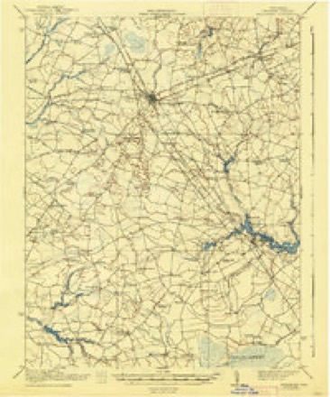
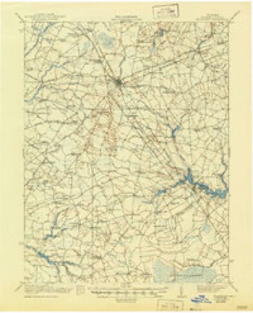
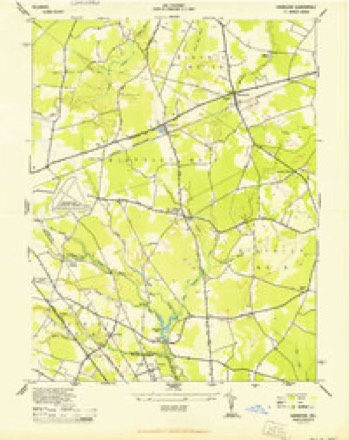
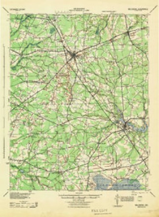
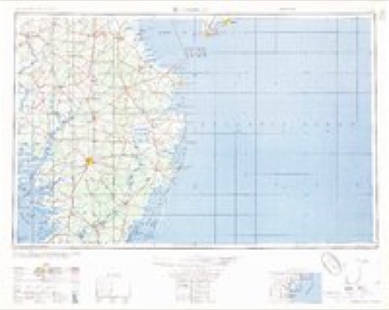
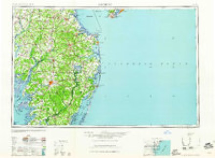
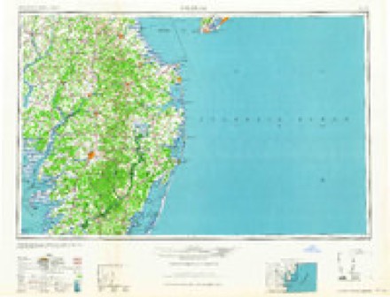
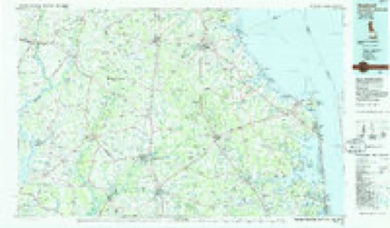
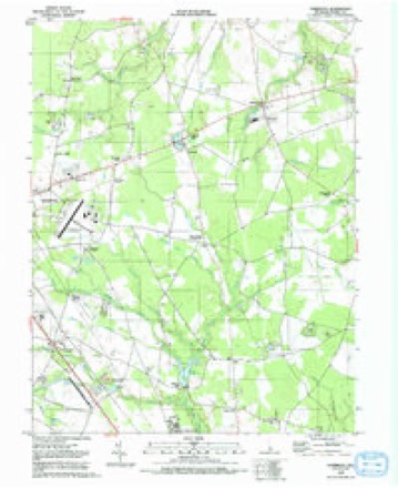
22 topographic sheets cover this place, the earliest surveyed in 1917 and the latest in 1992. It stands in the Milton census division. It lies in ZIP code area 19951. The Survey maps it on the Harbeson quadrangle. It stands 36 feet above sea level.
Topographic sheets covering this place
13 surveys from 22 printed sheetsMatched by testing this settlement's coordinate against the published boundary of every sheet in the United States Geological Survey's historical collection. Each opens the scanned sheet at the Survey.
- 1917 USGS Millsboro quadrangle1:62500, 2 printings
- 1938 USGS Millsboro quadrangle1:62500
- 1944 USGS Harbeson quadrangle1:24000, 2 printings
- 1944 USGS Millsboro quadrangle1:62500
- 1946 USGS Salisbury quadrangle1:250000, 4 printings
- 1947 USGS Salisbury quadrangle1:250000
- 1948 USGS Salisbury quadrangle1:250000
- 1955 USGS Harbeson quadrangle1:24000, 4 printings
- 1957 USGS Salisbury quadrangle1:250000
- 1961 USGS Salisbury quadrangle1:250000
- 1965 USGS Salisbury quadrangle1:250000
- 1984 USGS Seaford quadrangle1:100000, 2 printings
- 1992 USGS Harbeson quadrangle1:24000
Fires near this place
14 since 1995Regional context, not property-specific evidence. The federal wildfire occurrence database lists 14 fires within 5 miles of Harbeson between 1995 and 2020, burning about 17 acres in total. None started naturally. 2 were recorded as arson. Distance is straight-line from the map coordinates, so a fire counted here may appear on a neighbouring settlement's page as well.
| Reported cause | Fires |
|---|---|
| Debris and open burning | 7 |
| Arson/incendiarism | 2 |
| Railroad operations and maintenance | 2 |
| Smoking | 1 |
| Other causes | 1 |
| Equipment and vehicle use | 1 |
The most recent of them, most recent first, with the day each was reported and the service that recorded it.
| Date | Cause | Size | Reported by | Name on the report |
|---|---|---|---|---|
| 9 September 2015 | Equipment and vehicle use | 3.0 acres | Delaware Forest Service | GRAVEL FIRE |
| 3 September 2015 | Debris and open burning | under an acre | Delaware Forest Service | DEEP FIRE |
| 20 August 2010 | Railroad operations and maintenance | 3.0 acres | Delaware Forest Service | not named |
| 25 June 2015 | Other causes | 1.0 acres | Delaware Forest Service | PRETTY FIRE |
| 4 May 2019 | Debris and open burning | 1.0 acres | Delaware Forest Service | 245 FIRE |
| 4 April 2012 | Railroad operations and maintenance | under an acre | Delaware Forest Service | not named |
| 27 April 2012 | Debris and open burning | 1.5 acres | Delaware Forest Service | not named |
| 24 April 2014 | Debris and open burning | 1.5 acres | Delaware Forest Service | not named |
Settlements close enough to share some of these fires:
Storms near this place
26 since 2000Regional context, not property-specific evidence. The National Weather Service names Harbeson in 26 storm reports between 2000 and 2019: 21 heavy rain, 2 flood, 1 hail, 1 lightning. No death or injury is recorded in these reports. Each account below is quoted exactly as the forecast office filed it, from the NOAA Storm Events Database, and each date opens the federal record of that event.
| When | Event | Place named | Harm | What the report says |
|---|---|---|---|---|
| August 2012 | Lightning | Harbeson | $15,000 | A lightning strike and ensuing fire damaged a home on Martins Farm Road in Milton. |
| April 2019 | Tornado (EF1) | Harbeson | - | A tornado touched down near Carpenter Road in Harbeson. This tornado was associated with the same parent circulation that produced an EF2 tornado in Laurel, DE. Sporadic damage occurred over the remainder of the path, and the tornado may not have been on the ground continuously. Damage was observed on Shay Lane, where a few trees were snapped and a section of a barn roof was removed. Near the coast on South Bay Shore Drive, a couple of additional trees were snapped along with some roof damage. A distinct swirling pattern was also seen in a marshy grass area at this location. Beyond this point the circulation moved offshore. Dual polarization radar data was also useful in confirming a tornado debris signature. |
| July 2017 | Heavy Rain | Harbeson | - | Three and a half inches of rain fell at this DEOS site. |
| September 2016 | Heavy Rain | Harbeson | - | Six and three quarters inches of rain fell. |
| September 2016 | Heavy Rain | Harbeson | - | Almost 9 inches of rain fell. |
| September 2016 | Heavy Rain | Harbeson | - | Almost nine inches of rain fell. |
| September 2016 | Heavy Rain | Harbeson | - | Just over nine inches of rain fell. |
| September 2016 | Heavy Rain | Harbeson | - | Just over nine inches of rain fell. |
| September 2016 | Heavy Rain | Harbeson | - | Just over nine inches of rain fell. |
| September 2016 | Heavy Rain | Harbeson | - | Just over nine inches of rain fell. |
| September 2016 | Heavy Rain | Harbeson | - | Just over nine inches of rain fell. |
| September 2016 | Heavy Rain | Harbeson | - | Almost nine and a half inches of rain fell. |
| September 2016 | Flood | Harbeson | - | Route 5 was closed in a couple of locations. |
| September 2016 | Heavy Rain | Harbeson | - | Nine and a half inches of rain fell. |
| September 2016 | Heavy Rain | Harbeson | - | Almost ten inches of rain fell. |
| September 2016 | Heavy Rain | Harbeson | - | Over six inches of rain fell in less than a day. |
| September 2016 | Heavy Rain | Harbeson | - | Eight and a half inches of rain fell. |
| September 2016 | Heavy Rain | Harbeson | - | Almost ten inches of rain fell. |
| September 2016 | Heavy Rain | Harbeson | - | Over eleven inches of rain fell. |
| September 2016 | Heavy Rain | Harbeson | - | Eight and a half inches of rain fell. |
| September 2016 | Heavy Rain | Harbeson | - | Seven and a half inches of rain fell. |
| September 2016 | Heavy Rain | Harbeson | - | Just over eight and a half inches fell. |
| September 2016 | Heavy Rain | Harbeson | - | Over twelve inches of rain fell. |
| October 2016 | Flood | Harbeson | - | A spotter reported roadway flooding. |
| October 2016 | Heavy Rain | Harbeson | - | Almost three inches of heavy rain fell. |
| April 2000 | Hail | Harbeson | - | no account filed |
Nearest settlements
The eight closest, with where each one stands in the county. Distances are straight-line, computed from the Geographic Names Information System coordinates.
| Map | Place | Distance | Sheets |
|---|---|---|---|
| Deerwood | 0.9 miles | 22 | |
| Briarwood Manor | 0.9 miles | 22 | |
| Shady Rest Park | 1.3 miles | 22 | |
| Lazy Lake | 1.4 miles | 22 | |
| Cool Spring Manor | 1.6 miles | 22 | |
| Cool Spring Farms | 1.7 miles | 22 | |
| Gravel Hill | 1.8 miles | 22 | |
| Bennum | 1.8 miles | 22 |
Elsewhere
Matched on this settlement's Geographic Names Information System number rather than its name, so it cannot be a different place of the same name in another state.
| Wikipedia article on Harbeson | An encyclopaedic summary. Its text is share-alike, so it is linked here rather than copied. |
| Wikidata item Q5654375 | The structured record the population and elevation above come from. Public domain (CC0). |
Provenance
This settlement is recorded in the Geographic Names Information System as feature 214054. The sheet list is computed by point-in-boundary test against the United States Geological Survey's historical topographic inventory. Both are works of the United States government and carry no copyright under 17 U.S.C. 105.
Wildfire. Short, Karen C. 2022. Spatial wildfire occurrence data for the United States, 1992-2020 [FPA_FOD_20221014]. 6th Edition. Fort Collins, CO: Forest Service Research Data Archive. https://doi.org/10.2737/RDS-2013-0009.6 Collected with United States Government funding and usable without additional permissions or fees.
Storms. NOAA National Centers for Environmental Information, Storm Events Database https://www.ncei.noaa.gov/stormevents/ A work of the United States government, no copyright under 17 U.S.C. 105. Narratives are quoted verbatim from the National Weather Service report and are not edited or summarised.