 Block
Harmony, Delaware
32 topographic sheets cover this place, the earliest surveyed in 1904 and the latest in 1993. It stands in the Upper Christiana census division. It lies in ZIP code area 19711. It stands on Pike Creek. The Survey maps it on the Newark East quadrangle.
On record in Harmony
Buildings and businesses the archive holds for this place. Each opens its own page, with the source record it came from.
On the National Register within a mile 5 records
The National Register names another town for these. They stand within one mile of this settlement's coordinate.
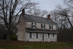 Rotheram Mill Houselisted 1972 · 0.1 miles away
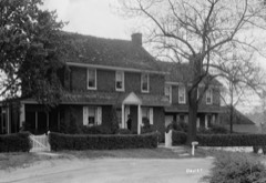 England House and Milllisted 1972 · 0.8 miles away
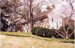 Johnson-Morris Houselisted 2011 · 0.8 miles away
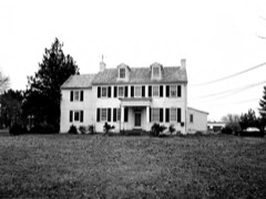 Walnut Lanelisted 1979 · 0.9 miles away
 White Clay Creek Presbyterian Churchlisted 1973 · 1.0 miles away
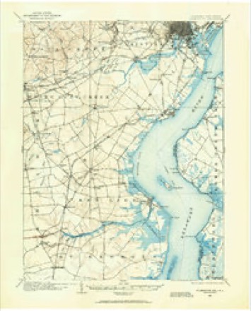
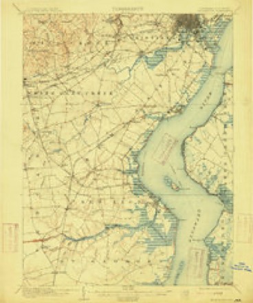
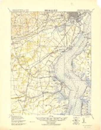
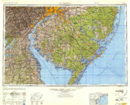
Topographic sheets covering this place
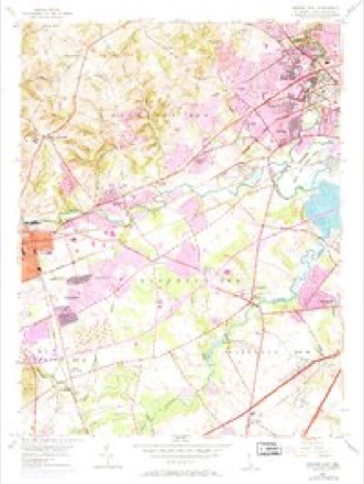
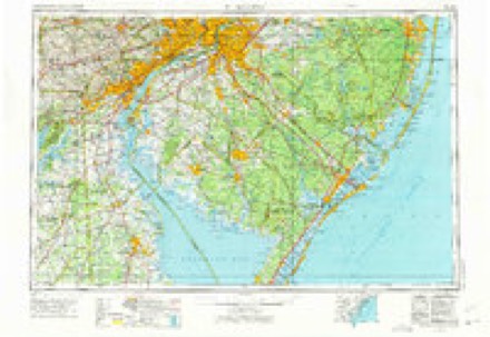
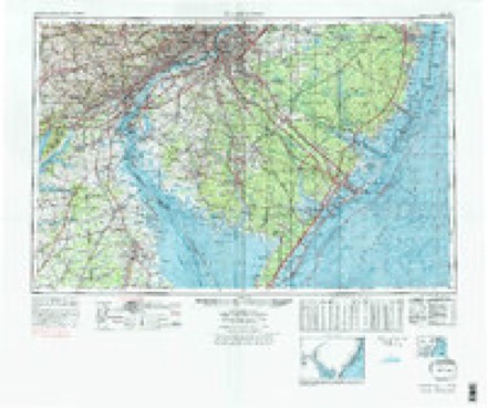
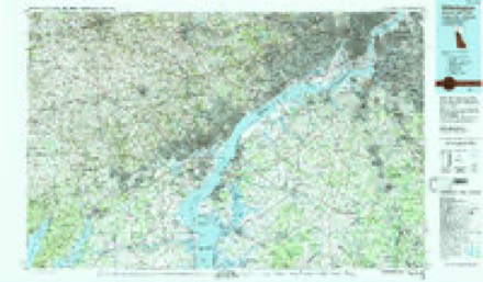
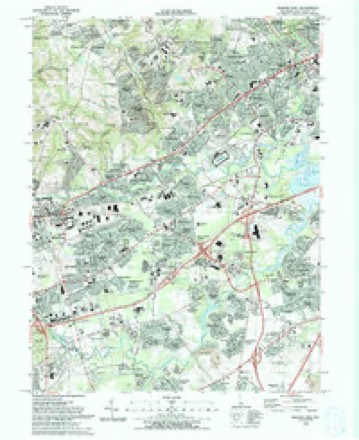
12 surveys from 32 printed sheetsMatched by testing this settlement's coordinate against the published boundary of every sheet in the United States Geological Survey's historical collection. Each opens the scanned sheet at the Survey.
- 1904 USGS Wilmington quadrangle1:62500
- 1906 USGS Wilmington quadrangle1:62500, 7 printings
- 1919 USGS Wilmington quadrangle1:62500, 2 printings
- 1946 USGS Wilmington quadrangle1:250000, 2 printings
- 1953 USGS Newark East quadrangle1:24000, 4 printings
- 1955 USGS Wilmington quadrangle1:250000
- 1957 USGS Wilmington quadrangle1:250000, 2 printings
- 1959 USGS Wilmington quadrangle1:250000, 3 printings
- 1966 USGS Wilmington quadrangle1:250000, 4 printings
- 1972 USGS Wilmington quadrangle1:250000, 2 printings
- 1984 USGS Wilmington quadrangle1:100000, 2 printings
- 1993 USGS Newark East quadrangle1:24000, 2 printings
Fires near this place
28 since 2003Regional context, not property-specific evidence. The federal wildfire occurrence database lists 28 fires within 5 miles of Harmony between 2003 and 2005, burning about 12 acres in total. 1 started naturally. None was recorded as arson. Distance is straight-line from the map coordinates, so a fire counted here may appear on a neighbouring settlement's page as well.
| Reported cause | Fires |
|---|---|
| Missing data/not specified/undetermined | 24 |
| Smoking | 2 |
| Equipment and vehicle use | 1 |
| Natural | 1 |
The most recent of them, most recent first, with the day each was reported and the service that recorded it.
| Date | Cause | Size | Reported by | Name on the report |
|---|---|---|---|---|
| 22 August 2003 | Missing data/not specified/undetermined | under an acre | Delaware State Fire Marshal's Office | not named |
| 22 August 2003 | Smoking | under an acre | Delaware State Fire Marshal's Office | not named |
| 23 June 2005 | Missing data/not specified/undetermined | under an acre | Delaware State Fire Marshal's Office | not named |
| 23 June 2003 | Missing data/not specified/undetermined | under an acre | Delaware State Fire Marshal's Office | not named |
| 8 May 2005 | Missing data/not specified/undetermined | 1.0 acres | Delaware State Fire Marshal's Office | not named |
| 5 May 2004 | Missing data/not specified/undetermined | under an acre | Delaware State Fire Marshal's Office | not named |
| 21 May 2004 | Missing data/not specified/undetermined | 1.0 acres | Delaware State Fire Marshal's Office | not named |
| 26 April 2005 | Equipment and vehicle use | under an acre | Delaware State Fire Marshal's Office | not named |
Settlements close enough to share some of these fires:
Mines and quarries near this place
3 within 5 milesRegional context, not property-specific evidence. The federal mineral resources record lists 3 workings within 5 miles of Harmony: 2 producers, 1 past producer. 2 still produce. What was taken out: Sand and Gravel, Construction. Distance is straight-line from the map coordinates, so a quarry counted here may appear on a neighbouring settlement's page as well.
| Where | Site | Commodity | Status | Recorded |
|---|---|---|---|---|
| Route 40 Farm | Sand and Gravel, Construction | Producer | ||
| Whittington Sand & Gravel Pit & Mil | Sand and Gravel, Construction | Past Producer | Sedimentary | |
| Whittington Sand Pit | Sand and Gravel, Construction | Producer |
Storms near this place
11 since 2010Regional context, not property-specific evidence. The National Weather Service names Harmony in 11 storm reports between 2010 and 2025: 8 thunderstorm wind, 2 flash flood, 1 flood. No death or injury is recorded in these reports. Each account below is quoted exactly as the forecast office filed it, from the NOAA Storm Events Database, and each date opens the federal record of that event.
| When | Event | Place named | Harm | What the report says |
|---|---|---|---|---|
| June 2015 | Thunderstorm Wind | Harmony | $10,000 | A severe thunderstorm knocked down traffic lights onto Kirkwood Highway (Delaware State Route 2) in Eastburn Heights (Mill Creek Hundred). There were also some trees knocked down onto power lines in the area with power outages. |
| July 2025 | Thunderstorm Wind | Harmony | - | Report of a tree into a house near Theodora Court and South Woodmill Drive in the Marshallton area of Wilmington. Time estimated from radar. |
| June 2023 | Flash Flood | Harmony | - | Minor flooding occurred on the White Clay Creek downstream from Newark. |
| April 2020 | Thunderstorm Wind | Harmony | - | Several reports of trees and power lines down in the area of Milltown Rd. Time estimated from radar. |
| February 2020 | Thunderstorm Wind | Harmony | - | Trees were downed on a car and residence in Murray Manor. Time estimated from radar. |
| February 2020 | Thunderstorm Wind | Harmony | - | Trees were downed on a car and residence in Murray Manor. Time estimated from radar. |
| February 2020 | Thunderstorm Wind | Harmony | - | Several reports of trees and wires down near Telegraph Rd, including a tree into a house. Time estimated from radar. |
| August 2020 | Flash Flood | Harmony | - | Moderate flooding occurred along the White Clay Creek, downstream from Newark. |
| April 2017 | Thunderstorm Wind | Harmony | - | A tree fell onto a car due to thunderstorm winds. |
| December 2011 | Flood | Harmony | - | A car was stranded on Old Stanton Christina Road beneath a railroad overpass in Stanton. The motorist was able to walk to safety. The Christina River at Coochs Bridge had moderate flooding and was above its 10.5 foot flood stage from 848 p.m. EST on the 7th through 422 a.m. EST on the 8th. It crested at 11.83 feet at 1215 a.m. EST on the 8th. Event precipitation totals included 3.05 inches in Middletown, 2.36 inches in Glasglow, 2.34 inches in Newport, 2.17 inches in Newark and 2.16 inches at the New Castle County Airport. |
| September 2010 | Thunderstorm Wind | Harmony | - | A line of severe thunderstorms caused wind damage mainly along the western tier hundreds of New Castle County, especially along the border with Maryland. In Blackbird Hundred, trees were knocked down along Green Giant Road and Blackbird Station Road. In Stanton (Mill Creek Hundred), a 200-year-old oak tree took down cable and phone lines. The combination of lightning and damaging wind caused about 4,500 homes and businesses to lose power in New Castle County. Outages were concentrated from Middletown southward to Smyrna in Kent County and from the Saint Georges area east through New Castle. All power was restored by the evening of the 23rd. |
Nearest settlements
The eight closest, with where each one stands in the county. Distances are straight-line, computed from the Geographic Names Information System coordinates.
| Map | Place | Distance | Sheets |
|---|---|---|---|
| Brookhaven | 0.1 miles | 32 | |
| Sheffield Manor | 0.3 miles | 32 | |
| Newkirk Estates | 0.3 miles | 32 | |
| Green Valley | 0.4 miles | 32 | |
| Choate | 0.5 miles | 32 | |
| Harmony Hills | 0.5 miles | 32 | |
| Old Mill Manor | 0.6 miles | 32 | |
| Peikin Park | 0.7 miles | 32 |
Provenance
This settlement is recorded in the Geographic Names Information System as feature 217187. The sheet list is computed by point-in-boundary test against the United States Geological Survey's historical topographic inventory. Both are works of the United States government and carry no copyright under 17 U.S.C. 105.
Wildfire. Short, Karen C. 2022. Spatial wildfire occurrence data for the United States, 1992-2020 [FPA_FOD_20221014]. 6th Edition. Fort Collins, CO: Forest Service Research Data Archive. https://doi.org/10.2737/RDS-2013-0009.6 Collected with United States Government funding and usable without additional permissions or fees.
Mines and quarries. USGS Mineral Resources Data System (MRDS) https://mrdata.usgs.gov/mrds/ A work of the United States government, no copyright under 17 U.S.C. 105.
Storms. NOAA National Centers for Environmental Information, Storm Events Database https://www.ncei.noaa.gov/stormevents/ A work of the United States government, no copyright under 17 U.S.C. 105. Narratives are quoted verbatim from the National Weather Service report and are not edited or summarised.