 Block
Kirkwood, Delaware
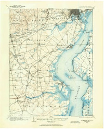
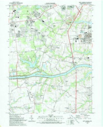
32 topographic sheets cover this place, the earliest surveyed in 1904 and the latest in 1993. It stands in the Red Lion census division. It lies in ZIP code area 19701. The Survey maps it on the Saint Georges quadrangle. It stands 69 feet above sea level.
On record in Kirkwood
Buildings and businesses the archive holds for this place. Each opens its own page, with the source record it came from.
On the National Register 7 records
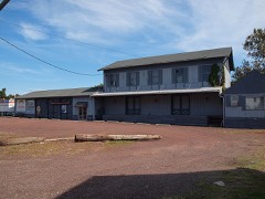 Correll's Farm and Lawn Supplylisted 1982
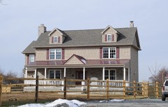 Dragon Run Farmlisted 1982
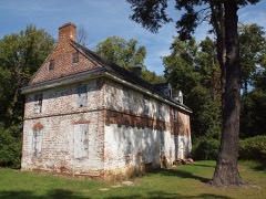 Lum's Mill Houselisted 1973
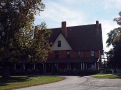 McCoy Houselisted 1973
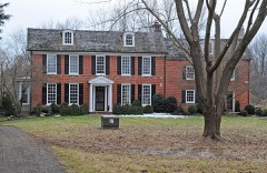 Old Cann Mansion Houselisted 1982
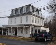 Old Post Oficelisted 1982
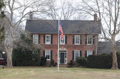 Point Farmlisted 1982
Topographic sheets covering this place
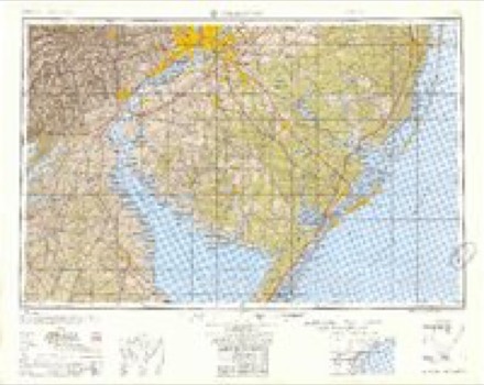
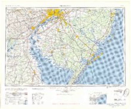
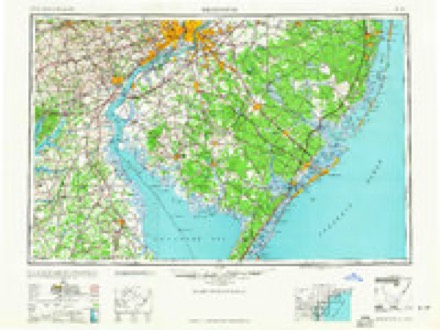
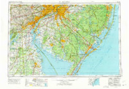
12 surveys from 32 printed sheetsMatched by testing this settlement's coordinate against the published boundary of every sheet in the United States Geological Survey's historical collection. Each opens the scanned sheet at the Survey.
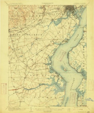
- 1904 USGS Wilmington quadrangle1:62500
- 1906 USGS Wilmington quadrangle1:62500, 7 printings
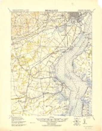
- 1919 USGS Wilmington quadrangle1:62500, 2 printings
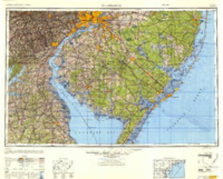
- 1946 USGS Wilmington quadrangle1:250000, 2 printings
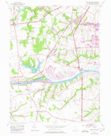
- 1953 USGS Saint Georges quadrangle1:24000, 5 printings
- 1955 USGS Wilmington quadrangle1:250000
- 1957 USGS Wilmington quadrangle1:250000, 2 printings
- 1959 USGS Wilmington quadrangle1:250000, 3 printings
- 1966 USGS Wilmington quadrangle1:250000, 4 printings
- 1972 USGS Wilmington quadrangle1:250000, 2 printings
- 1984 USGS Wilmington quadrangle1:100000, 2 printings
- 1993 USGS Saint Georges quadrangle1:24000
Mines and quarries near this place
7 within 5 milesRegional context, not property-specific evidence. The federal mineral resources record lists 7 workings within 5 miles of Kirkwood: 5 past producers, 2 producers. 2 still produce. What was taken out: Sand and Gravel, Construction. Distance is straight-line from the map coordinates, so a quarry counted here may appear on a neighbouring settlement's page as well.
| Where | Site | Commodity | Status | Recorded |
|---|---|---|---|---|
| Freeway Pit | Sand and Gravel, Construction | Past Producer | Sedimentary | |
| Freeway Sand Pit | Sand and Gravel, Construction | Past Producer | ||
| Route 40 Farm | Sand and Gravel, Construction | Producer | ||
| Whittington Sand & Gravel Pit & Mil | Sand and Gravel, Construction | Past Producer | Sedimentary | |
| Whittington Sand Pit | Sand and Gravel, Construction | Producer | ||
| Woodlawn Sand & Gravel Pit | Sand and Gravel, Construction | Past Producer | ||
| Woodlawn Sand & Gravel Pit & Mill | Sand and Gravel, Construction | Past Producer | Sedimentary |
Storms near this place
6 since 2007Regional context, not property-specific evidence. The National Weather Service names Kirkwood in 6 storm reports between 2007 and 2022: 4 thunderstorm wind, 1 flash flood, 1 lightning. No death or injury is recorded in these reports. Each account below is quoted exactly as the forecast office filed it, from the NOAA Storm Events Database, and each date opens the federal record of that event.
| When | Event | Place named | Harm | What the report says |
|---|---|---|---|---|
| July 2008 | Lightning | Kirkwood | $500,000 | A lightning strike and ensuing fire destroyed a home just east of Lump's Pond on Mariners Way in New Castle County. A firefighter suffered minor burns. Another lightning strike in Lump's Pond disrupted the county police radio communication. Communications was switched to a back-up system. |
| July 2022 | Thunderstorm Wind | Kirkwood | - | Large branches down. Report from MPing. |
| April 2019 | Thunderstorm Wind | Kirkwood | - | Several trees were blown down in a mobile home park. Social media picture showed several shallow rooted trees blown down in exact same direction. Time estimated from radar. |
| June 2017 | Thunderstorm Wind | Kirkwood | - | Numerous trees and power lines were blown down along Porter road and in the Hickory Woods development. Event time was corrected based on radar data. |
| June 2017 | Thunderstorm Wind | Kirkwood | - | Numerous trees and power lines were down along Porter road and in the Hickory Woods area. |
| July 2007 | Flash Flood | Kirkwood | - | no account filed |
Nearest settlements
The eight closest, with where each one stands in the county. Distances are straight-line, computed from the Geographic Names Information System coordinates.
| Map | Place | Distance | Sheets |
|---|---|---|---|
| Lums Pond Estates II | 0.6 miles | 32 | |
| Rolling Meadows | 0.8 miles | 32 | |
| Parkside | 1.1 miles | 32 | |
| Williamsburg | 1.1 miles | 32 | |
| Wrange Hill Estates | 1.4 miles | 32 | |
| Little Jersey | 1.4 miles | 32 | |
| Hickory Woods | 1.5 miles | 32 | |
| Countryside Farms | 1.6 miles | 32 |
Elsewhere
Matched on this settlement's Geographic Names Information System number rather than its name, so it cannot be a different place of the same name in another state.
| Wikipedia article on Kirkwood | An encyclopaedic summary. Its text is share-alike, so it is linked here rather than copied. |
| Wikidata item Q6415872 | The structured record the population and elevation above come from. Public domain (CC0). |
Provenance
This settlement is recorded in the Geographic Names Information System as feature 216131. The sheet list is computed by point-in-boundary test against the United States Geological Survey's historical topographic inventory. Both are works of the United States government and carry no copyright under 17 U.S.C. 105.
Mines and quarries. USGS Mineral Resources Data System (MRDS) https://mrdata.usgs.gov/mrds/ A work of the United States government, no copyright under 17 U.S.C. 105.
Storms. NOAA National Centers for Environmental Information, Storm Events Database https://www.ncei.noaa.gov/stormevents/ A work of the United States government, no copyright under 17 U.S.C. 105. Narratives are quoted verbatim from the National Weather Service report and are not edited or summarised.