 Block
Seaford, Delaware
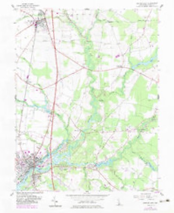
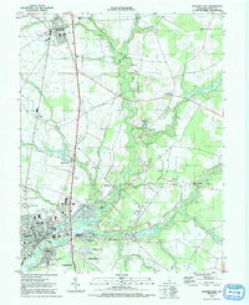
19 topographic sheets cover this place, the earliest surveyed in 1915 and the latest in 1992. It stands in the Seaford census division. It lies in ZIP code area 19973. It stands on Clear Brook. The Survey maps it on the Seaford East quadrangle. 7,957 people lived here at the 2020 count. It stands 33 feet above sea level.
On record in Seaford
Buildings and businesses the archive holds for this place. Each opens its own page, with the source record it came from.
On the National Register 12 of 15 shown
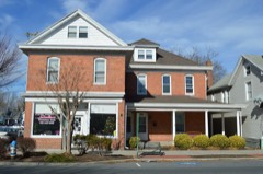 Building at 200-202A High Streetlisted 1987
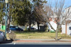 Building at 218 High Streetlisted 1987
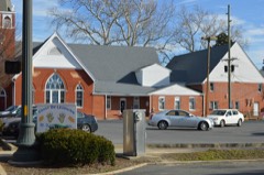 Building at High and Cannon Streetslisted 1987
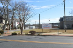 Burton Hardware Storelisted 1978
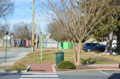 J. W. Cox Dry Goods Storelisted 1987
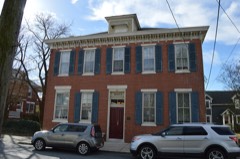 First National Bank of Seafordlisted 1987
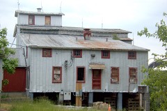 Hearn and Rawlins Milllisted 1978
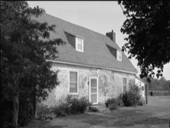 Maston Houselisted 1975
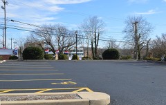 Jesse Robinson Houselisted 1982
 Edgar and Rachel Ross Houselisted 1997
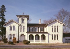 Gov. William H. Ross Houselisted 1977
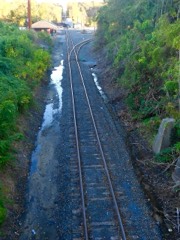 Seaford Station Complexlisted 1978
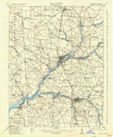
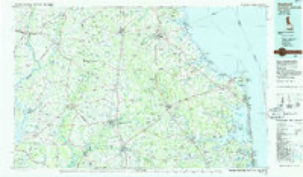
Topographic sheets covering this place
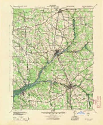
11 surveys from 19 printed sheetsMatched by testing this settlement's coordinate against the published boundary of every sheet in the United States Geological Survey's historical collection. Each opens the scanned sheet at the Survey.
- 1915 USGS Seaford quadrangle1:62500, 4 printings
- 1944 USGS Seaford quadrangle1:62500
- 1946 USGS Salisbury quadrangle1:250000, 4 printings
- 1947 USGS Salisbury quadrangle1:250000
- 1948 USGS Salisbury quadrangle1:250000
- 1955 USGS Seaford East quadrangle1:24000, 2 printings
- 1957 USGS Salisbury quadrangle1:250000
- 1961 USGS Salisbury quadrangle1:250000
- 1965 USGS Salisbury quadrangle1:250000
- 1984 USGS Seaford quadrangle1:100000, 2 printings
- 1992 USGS Seaford East quadrangle1:24000
Fires near this place
4 since 2004Regional context, not property-specific evidence. The federal wildfire occurrence database lists 4 fires within 5 miles of Seaford between 2004 and 2020, burning about 114 acres in total. None started naturally. 2 were recorded as arson. Distance is straight-line from the map coordinates, so a fire counted here may appear on a neighbouring settlement's page as well.
| Reported cause | Fires |
|---|---|
| Arson/incendiarism | 2 |
| Equipment and vehicle use | 1 |
| Railroad operations and maintenance | 1 |
The most recent of them, most recent first, with the day each was reported and the service that recorded it.
| Date | Cause | Size | Reported by | Name on the report |
|---|---|---|---|---|
| 9 July 2004 | Arson/incendiarism | 100 acres | Blackwater National Wildlife Refuge | WOODLAND CHURCH RD. |
| 8 June 2020 | Equipment and vehicle use | 2.0 acres | Delaware Forest Service | RUTH FIRE |
| 18 April 2016 | Railroad operations and maintenance | 7.0 acres | Delaware Forest Service | CONRAIL |
| 22 November 2016 | Arson/incendiarism | 5.0 acres | Delaware Forest Service | HASTINGS |
Settlements close enough to share some of these fires:
Mines and quarries near this place
2 within 5 milesRegional context, not property-specific evidence. The federal mineral resources record lists 2 workings within 5 miles of Seaford: 2 past producers. None of them still produces. What was taken out: Iron. Distance is straight-line from the map coordinates, so a quarry counted here may appear on a neighbouring settlement's page as well.
| Where | Site | Commodity | Status | Recorded |
|---|---|---|---|---|
| Gravelly Delight Mine | Iron | Past Producer | ||
| Pine Creek Forge Mine | Iron | Past Producer |
Storms near this place
24 since 1993Regional context, not property-specific evidence. The National Weather Service names Seaford in 24 storm reports between 1993 and 2025: 10 thunderstorm wind, 7 lightning, 4 heavy rain, 2 flash flood. No death or injury is recorded in these reports. Each account below is quoted exactly as the forecast office filed it, from the NOAA Storm Events Database, and each date opens the federal record of that event.
| When | Event | Place named | Harm | What the report says |
|---|---|---|---|---|
| July 2007 | Lightning | Seaford | $200,000 | Lightning struck a few homes across Sussex County between 330 p.m. EDT and 415 p.m. EDT on the 28th. A lightning strike and ensuing fire damaged a Kelley Circle home near Seaford. In addition to wind damage elsewhere, lightning struck a home on Clayton Street in Frankford. The ensuing fire damaged the outer wall of the home. Three fire companies assisted in battling the blaze. The worst reported damage occurred to a home struck by lightning in Lewes. Lightning struck a home in the Bay Crossing Community on Anchor Way. Four fire companies fought the ensuing blaze which caused heavy damage to the second floor and roof of the home. No serious injuries were reported with any of the fires. |
| August 2001 | Lightning | Seaford | $200,000 | no account filed |
| August 2001 | Lightning | Seaford | $160,000 | no account filed |
| June 2012 | Thunderstorm Wind | Seaford | $100,000 | A gust front outrunning a cluster of severe thunderstorms entered near Seaford in western Sussex County at approximately 11:57 pm EDT on the 29th. This gust front produced damaging wind gusts estimated between 65 mph to 70 mph as it traversed eastward across the county. Within approximately 20 minutes of the gust front passage, a potent line of severe thunderstorms tracked eastward through Sussex county, producing another round of destructive wind gusts, estimated from 65 mph to 70 mph. Large tree limbs were reported down across the county, including in Seaford, Lincoln, Lewes, and Millsboro. In addition, multiple downed trees were reported in Selbyville, and a wind gust to 70 mph was estimated in Bridgeville. Severe thunderstorms exited eastern Sussex County, including the town of Lewes, at approximately 1:10 am EDT on the 30th. Measured wind gusts included 69 mph in Dewey Beach and 63 mph in Lewes. |
| July 2005 | Lightning | Seaford | $60,000 | no account filed |
| August 2002 | Lightning | Seaford | $15,000 | no account filed |
| June 2011 | Thunderstorm Wind | Seaford | $10,000 | A severe thunderstorm near Seaford knocked down a few trees, caused roof damage to a couple of homes and damaged a produce stand. |
| April 1993 | Hail | Seaford | $5,000 | no account filed |
| September 2000 | Lightning | Seaford | $1,000 | no account filed |
| May 2025 | Thunderstorm Wind | Seaford | - | Tree was blown onto wires. |
| August 2021 | Thunderstorm Wind | Seaford | - | Trees were downed onto power lines on Middleford Rd in Seaford. Time estimated from radar. |
| August 2021 | Lightning | Seaford | - | A tree was struck by lightning which damaged nearby power lines on Middleford Rd in Seaford. Time estimated from radar. |
| June 2018 | Flash Flood | Seaford | - | Several roads were flooded from Concord to Sycamore. |
| August 2017 | Heavy Rain | Seaford | - | Around two inches of rain fell from thunderstorms in 40 minutes. |
| July 2017 | Heavy Rain | Seaford | - | Around three inches fell in 12 hours. |
| September 2016 | Heavy Rain | Seaford | - | Three and two thirds inches of rain fell in 12 hours. |
| September 2016 | Heavy Rain | Seaford | - | Three and three quarters inches of rain fell in 24 hours. |
| June 2013 | Flash Flood | Seaford | - | Thunderstorms with heavy rain caused roadway and small stream flash flooding and field flooding in the Nanticoke River Basin in and around Seaford. Event precipitation totals include 2.90 inches in Seaford. |
| May 1995 | Thunderstorm Wind | Seaford | - | A severe thunderstorm toppled numerous trees and sheared limbs from other trees around Seaford. The severe thunderstorm also ripped the roof from a house along Sussex County Road 544 near Atlanta. About 4,400 homes lost power. |
| June 2006 | Thunderstorm Wind | Seaford | - | no account filed |
| August 2005 | Thunderstorm Wind | Seaford | - | no account filed |
| August 2004 | Thunderstorm Wind | Seaford | - | no account filed |
| October 2003 | Thunderstorm Wind | Seaford | - | no account filed |
| June 1997 | Thunderstorm Wind | Seaford | - | no account filed |
Nearest settlements
The eight closest, with where each one stands in the county. Distances are straight-line, computed from the Geographic Names Information System coordinates.
| Map | Place | Distance | Sheets |
|---|---|---|---|
| Blades | 0.4 miles | 19 | |
| Hurley Heights | 0.5 miles | 19 | |
| Seaford Heights | 0.6 miles | 19 | |
| Victor E Hurley Estates | 0.8 miles | 19 | |
| The Island | 0.9 miles | 19 | |
| North Seaford Heights | 1.0 miles | 19 | |
| Cherrytree Landing | 1.1 miles | 19 | |
| Ross | 1.2 miles | 19 |
Elsewhere
Matched on this settlement's Geographic Names Information System number rather than its name, so it cannot be a different place of the same name in another state.
| Wikipedia article on Seaford | An encyclopaedic summary. Its text is share-alike, so it is linked here rather than copied. |
| Wikidata item Q755663 | The structured record the population and elevation above come from. Public domain (CC0). |
Provenance
This settlement is recorded in the Geographic Names Information System as feature 214626. The sheet list is computed by point-in-boundary test against the United States Geological Survey's historical topographic inventory. Both are works of the United States government and carry no copyright under 17 U.S.C. 105.
Wildfire. Short, Karen C. 2022. Spatial wildfire occurrence data for the United States, 1992-2020 [FPA_FOD_20221014]. 6th Edition. Fort Collins, CO: Forest Service Research Data Archive. https://doi.org/10.2737/RDS-2013-0009.6 Collected with United States Government funding and usable without additional permissions or fees.
Mines and quarries. USGS Mineral Resources Data System (MRDS) https://mrdata.usgs.gov/mrds/ A work of the United States government, no copyright under 17 U.S.C. 105.
Storms. NOAA National Centers for Environmental Information, Storm Events Database https://www.ncei.noaa.gov/stormevents/ A work of the United States government, no copyright under 17 U.S.C. 105. Narratives are quoted verbatim from the National Weather Service report and are not edited or summarised.