 Block
Stanton, Delaware
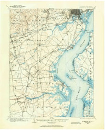
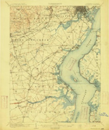
32 topographic sheets cover this place, the earliest surveyed in 1904 and the latest in 1993. It stands in the Pike Creek-Central Kirkwood census division. It lies in ZIP code area 19804. It stands on Calf Run. The Survey maps it on the Newark East quadrangle. It stands 20 feet above sea level.
On record in Stanton
Buildings and businesses the archive holds for this place. Each opens its own page, with the source record it came from.
On the National Register 2 records
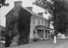 Hale-Byrnes Houselisted 1972
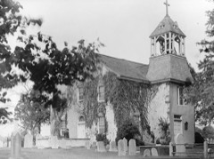 St. James Churchlisted 1973
Topographic sheets covering this place
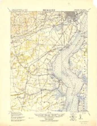
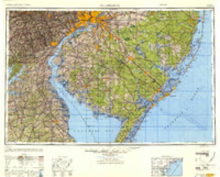
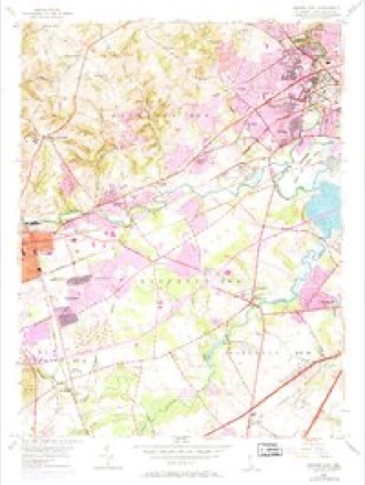
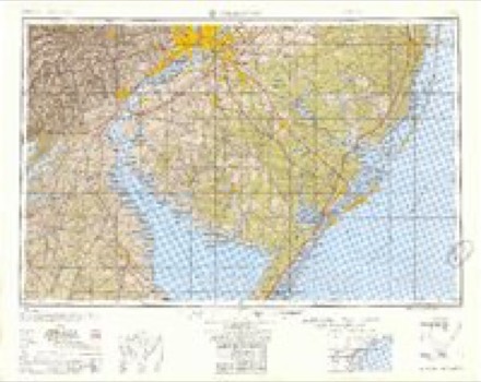
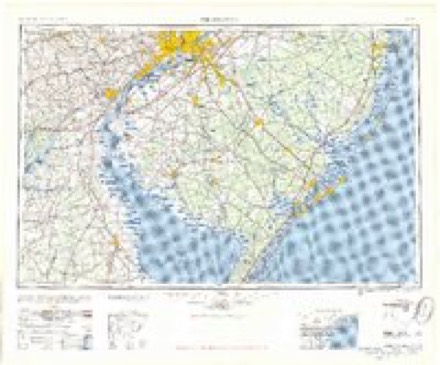
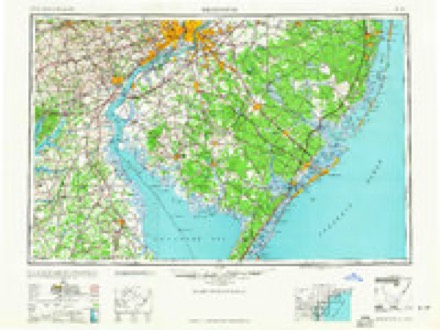
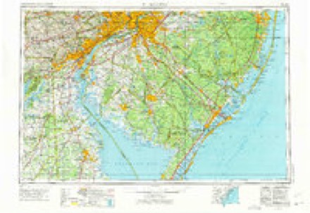
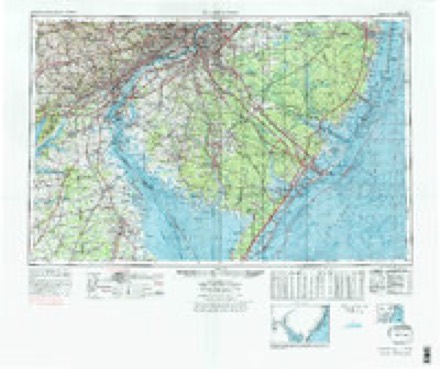
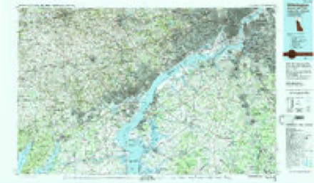
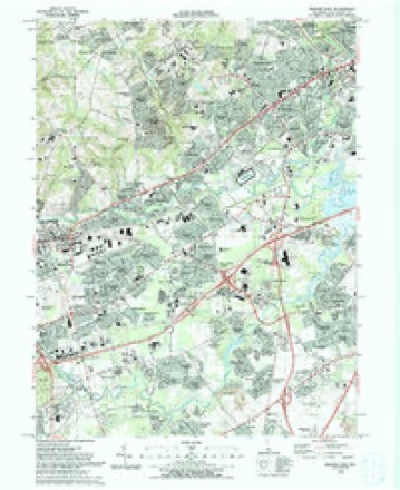
12 surveys from 32 printed sheetsMatched by testing this settlement's coordinate against the published boundary of every sheet in the United States Geological Survey's historical collection. Each opens the scanned sheet at the Survey.
- 1904 USGS Wilmington quadrangle1:62500
- 1906 USGS Wilmington quadrangle1:62500, 7 printings
- 1919 USGS Wilmington quadrangle1:62500, 2 printings
- 1946 USGS Wilmington quadrangle1:250000, 2 printings
- 1953 USGS Newark East quadrangle1:24000, 4 printings
- 1955 USGS Wilmington quadrangle1:250000
- 1957 USGS Wilmington quadrangle1:250000, 2 printings
- 1959 USGS Wilmington quadrangle1:250000, 3 printings
- 1966 USGS Wilmington quadrangle1:250000, 4 printings
- 1972 USGS Wilmington quadrangle1:250000, 2 printings
- 1984 USGS Wilmington quadrangle1:100000, 2 printings
- 1993 USGS Newark East quadrangle1:24000, 2 printings
Fires near this place
28 since 2003Regional context, not property-specific evidence. The federal wildfire occurrence database lists 28 fires within 5 miles of Stanton between 2003 and 2005, burning about 12 acres in total. 1 started naturally. None was recorded as arson. Distance is straight-line from the map coordinates, so a fire counted here may appear on a neighbouring settlement's page as well.
| Reported cause | Fires |
|---|---|
| Missing data/not specified/undetermined | 24 |
| Smoking | 2 |
| Equipment and vehicle use | 1 |
| Natural | 1 |
The most recent of them, most recent first, with the day each was reported and the service that recorded it.
| Date | Cause | Size | Reported by | Name on the report |
|---|---|---|---|---|
| 22 August 2003 | Missing data/not specified/undetermined | under an acre | Delaware State Fire Marshal's Office | not named |
| 22 August 2003 | Smoking | under an acre | Delaware State Fire Marshal's Office | not named |
| 23 June 2005 | Missing data/not specified/undetermined | under an acre | Delaware State Fire Marshal's Office | not named |
| 23 June 2003 | Missing data/not specified/undetermined | under an acre | Delaware State Fire Marshal's Office | not named |
| 8 May 2005 | Missing data/not specified/undetermined | 1.0 acres | Delaware State Fire Marshal's Office | not named |
| 5 May 2004 | Missing data/not specified/undetermined | under an acre | Delaware State Fire Marshal's Office | not named |
| 21 May 2004 | Missing data/not specified/undetermined | 1.0 acres | Delaware State Fire Marshal's Office | not named |
| 26 April 2005 | Equipment and vehicle use | under an acre | Delaware State Fire Marshal's Office | not named |
Settlements close enough to share some of these fires:
Mines and quarries near this place
4 within 5 milesRegional context, not property-specific evidence. The federal mineral resources record lists 4 workings within 5 miles of Stanton: 3 past producers, 1 producer. 1 still produces. What was taken out: Sand and Gravel, Construction. Distance is straight-line from the map coordinates, so a quarry counted here may appear on a neighbouring settlement's page as well.
| Where | Site | Commodity | Status | Recorded |
|---|---|---|---|---|
| Constructors Sand and Gravel Pit | Sand and Gravel, Construction | Past Producer | Sedimentary | |
| Delaware Sand and Gravel Pit | Sand and Gravel, Construction | Past Producer | Sedimentary | |
| Delaware Sand and Gravel Pit | Sand and Gravel, Construction | Past Producer | ||
| Wilson Pit | Sand and Gravel, Construction | Producer |
Storms near this place
13 since 2009Regional context, not property-specific evidence. The National Weather Service names Stanton in 13 storm reports between 2009 and 2024: 4 thunderstorm wind, 4 flash flood, 2 flood, 1 heavy rain. No death or injury is recorded in these reports. Each account below is quoted exactly as the forecast office filed it, from the NOAA Storm Events Database, and each date opens the federal record of that event.
| When | Event | Place named | Harm | What the report says |
|---|---|---|---|---|
| August 2024 | Tornado (EF1) | Stanton | - | Tree damage was noted starting in Weer Circle. Along Old Capitol Trail, a small tree was snapped at the trunk, and additional tree damage was noted near a commercial building between Old Capitol Trail and Kirkwood Highway. When it was in the area of Kirkwood Highway, there were multiple witnesses of the tornado. A business at a strip mall along Kirkwood Highway lost a portion of the roof. The tornado continued along a path towards the intersection of Farrand Drive and Hammond Place where there was damage to a free standing light pole. Additional damage, primarily uprooted trees was noted in the Sherwood Park development. The last observed damage was noted near West Robino Drive. |
| April 2020 | Hail | Stanton | - | Dime size hail reported in Stanton. |
| February 2020 | Thunderstorm Wind | Stanton | - | A tree was downed into a house on Redwood Ave. Time estimated from radar. |
| July 2020 | Thunderstorm Wind | Stanton | - | Several reports of downed power lines were received from the Stanton and Marshalltown areas. Time estimated from radar. |
| August 2020 | Flash Flood | Stanton | - | A section of DE Route 4 westbound in the Stanton area was washed away by flood waters. |
| August 2020 | Flash Flood | Stanton | - | Moderate flooding occurred along the Red Clay Creek in the Stanton area. |
| July 2017 | Flash Flood | Stanton | - | Red Clay creek at Stanton rose nine and a half feet in three and a half hours. |
| July 2017 | Heavy Rain | Stanton | - | Two inches of fell with almost all of it in a three hour period. |
| September 2016 | Flood | Stanton | - | The Christina River rose Friday morning to 10.6 feet, .1 feet above flood stage. Water covered a section of nearby Airport Road for a time. A car was stuck in the water while it was flooded as well. |
| July 2013 | Flash Flood | Stanton | - | Thunderstorms with very heavy rain caused urban, small stream and poor drainage flash flooding in northeastern New Castle County from around Bear northeast through Claymont. Poor drainage flooding occurred on U.S. Route 13 north of Rogers Road in Wilmington. Doppler Radar storm total estimates reached 2 to 4 inches in this area. Actual rainfall amounts included 2.32 inches in Wilmington and 1.72 inches at the New Castle County Airport. |
| October 2013 | Flood | Stanton | - | The runoff from the heavy rain that fell early on the 11th caused minor flooding along the Red Clay Creek Basin on the morning and afternoon of the 11th. The heavy rain also caused poor drainage flooding in and around Newark and Middletown. The Red Clay Creek at Wooddale was above its 7 foot flood stage from 832 a.m. EDT through 1023 a.m. EDT on the 11th. It crested at 7.15 feet at 915 a.m. EDT on the 11th. Farther downstream, the Red Clay Creek at Stanton was above its 15 foot flood stage from 916 a.m. EDT through 1239 p.m. EDT on the 11th. It crested at 15.30 feet at 1030 a.m. EDT on the 11th. Event precipitation totals included 2.90 inches in Blackbird, 1.98 inches in Newark and 1.50 inches at the New Castle County Airport. |
| June 2012 | Thunderstorm Wind | Stanton | - | A severe thunderstorm knocked down some tree limbs and wires in and around Stanton. |
| June 2009 | Thunderstorm Wind | Stanton | - | A severe thunderstorm tore down power lines and large tree limbs in Stanton in Mill Creek Hundred. |
Nearest settlements
The eight closest, with where each one stands in the county. Distances are straight-line, computed from the Geographic Names Information System coordinates.
| Map | Place | Distance | Sheets |
|---|---|---|---|
| Westfield | 0.2 miles | 32 | |
| Glenville | 0.2 miles | 32 | |
| Redmont | 0.3 miles | 32 | |
| Stanton Estates | 0.4 miles | 32 | |
| Glen Berne Estates | 0.4 miles | 32 | |
| Kiamensi Heights | 0.5 miles | 32 | |
| Rolling Hills | 0.5 miles | 32 | |
| Kiamensi | 0.6 miles | 32 |
Elsewhere
Matched on this settlement's Geographic Names Information System number rather than its name, so it cannot be a different place of the same name in another state.
| Wikipedia article on Stanton | An encyclopaedic summary. Its text is share-alike, so it is linked here rather than copied. |
| Wikidata item Q2331926 | The structured record the population and elevation above come from. Public domain (CC0). |
Provenance
This settlement is recorded in the Geographic Names Information System as feature 214687. The sheet list is computed by point-in-boundary test against the United States Geological Survey's historical topographic inventory. Both are works of the United States government and carry no copyright under 17 U.S.C. 105.
Wildfire. Short, Karen C. 2022. Spatial wildfire occurrence data for the United States, 1992-2020 [FPA_FOD_20221014]. 6th Edition. Fort Collins, CO: Forest Service Research Data Archive. https://doi.org/10.2737/RDS-2013-0009.6 Collected with United States Government funding and usable without additional permissions or fees.
Mines and quarries. USGS Mineral Resources Data System (MRDS) https://mrdata.usgs.gov/mrds/ A work of the United States government, no copyright under 17 U.S.C. 105.
Storms. NOAA National Centers for Environmental Information, Storm Events Database https://www.ncei.noaa.gov/stormevents/ A work of the United States government, no copyright under 17 U.S.C. 105. Narratives are quoted verbatim from the National Weather Service report and are not edited or summarised.