 Block
Walker, Delaware
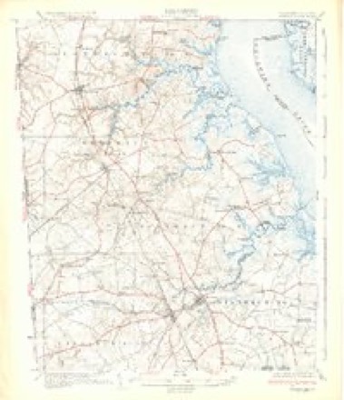
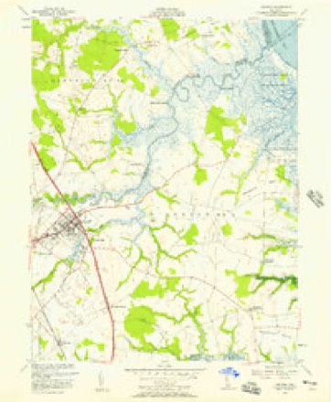
32 topographic sheets cover this place, the earliest surveyed in 1899 and the latest in 1993. It stands in the Middletown-Odessa census division. It lies in ZIP code area 19977. It stands on Morris Branch. The Survey maps it on the Smyrna quadrangle.
On record in Walker
Buildings and businesses the archive holds for this place. Each opens its own page, with the source record it came from.
On the National Register within a mile 1 record
The National Register names another town for these. They stand within one mile of this settlement's coordinate.
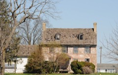 Clearfield Farmlisted 1973 · 0.9 miles away
Topographic sheets covering this place
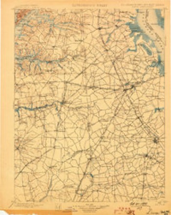
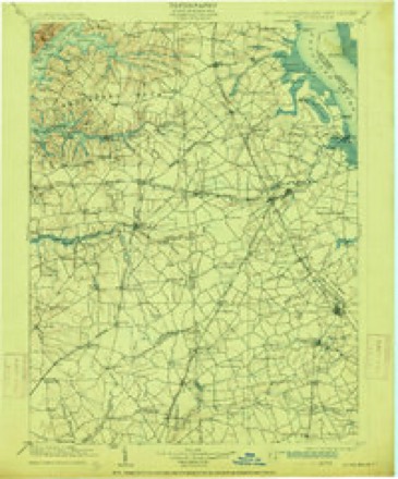
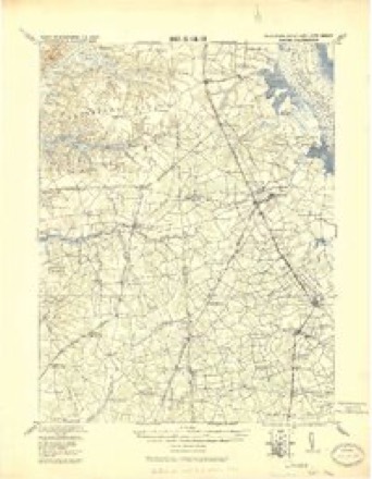
14 surveys from 32 printed sheetsMatched by testing this settlement's coordinate against the published boundary of every sheet in the United States Geological Survey's historical collection. Each opens the scanned sheet at the Survey.
- 1899 USGS Dover quadrangle1:125000, 2 printings
- 1906 USGS Dover quadrangle1:125000, 3 printings
- 1920 USGS Dover quadrangle1:125000
- 1931 USGS Smyrna quadrangle1:62500, 5 printings
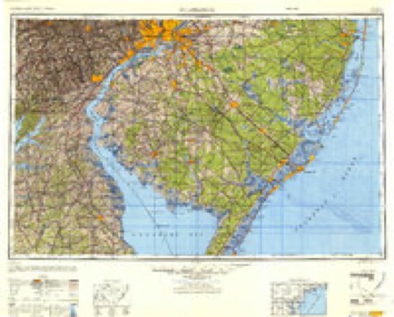
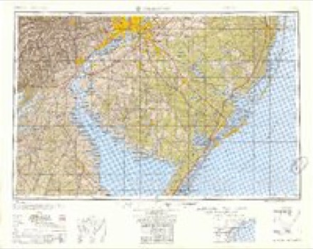
- 1946 USGS Wilmington quadrangle1:250000, 2 printings
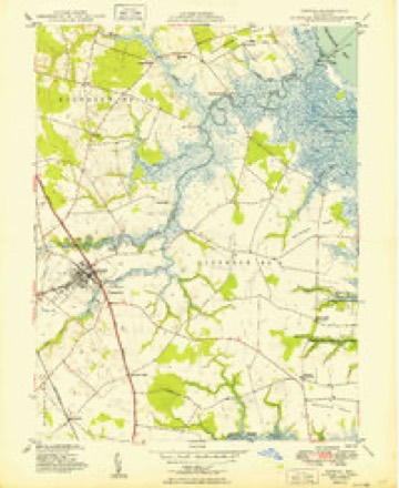
- 1949 USGS Smyrna quadrangle1:24000, 2 printings
- 1955 USGS Wilmington quadrangle1:250000
- 1956 USGS Smyrna quadrangle1:24000, 3 printings
- 1957 USGS Wilmington quadrangle1:250000, 2 printings
- 1959 USGS Wilmington quadrangle1:250000, 3 printings
- 1966 USGS Wilmington quadrangle1:250000, 4 printings
- 1972 USGS Wilmington quadrangle1:250000, 2 printings
- 1984 USGS Dover quadrangle1:100000
- 1993 USGS Smyrna quadrangle1:24000
Fires near this place
1 since 2016Regional context, not property-specific evidence. The federal wildfire occurrence database lists 1 fire within 5 miles of Walker in 2016, burning about 3 acres in total. None started naturally. 1 was recorded as arson. Distance is straight-line from the map coordinates, so a fire counted here may appear on a neighbouring settlement's page as well.
| Reported cause | Fires |
|---|---|
| Arson/incendiarism | 1 |
The most recent of them, most recent first, with the day each was reported and the service that recorded it.
| Date | Cause | Size | Reported by | Name on the report |
|---|---|---|---|---|
| 3 July 2016 | Arson/incendiarism | 3.0 acres | Delaware Forest Service | FISH |
Settlements close enough to share some of these fires:
Mines and quarries near this place
1 within 5 milesRegional context, not property-specific evidence. The federal mineral resources record lists 1 working within 5 miles of Walker: 1 producer. All of them still produce. What was taken out: Sand and Gravel, Construction. Distance is straight-line from the map coordinates, so a quarry counted here may appear on a neighbouring settlement's page as well.
| Where | Site | Commodity | Status | Recorded |
|---|---|---|---|---|
| Hoskinson Gravel Pit | Sand and Gravel, Construction | Producer |
Storms near this place
6 since 2004Regional context, not property-specific evidence. The National Weather Service names Walker in 6 storm reports between 2004 and 2025: 4 thunderstorm wind, 1 flash flood, 1 tornado. No death or injury is recorded in these reports. Each account below is quoted exactly as the forecast office filed it, from the NOAA Storm Events Database, and each date opens the federal record of that event.
| When | Event | Place named | Harm | What the report says |
|---|---|---|---|---|
| July 2023 | Thunderstorm Wind | Walker | - | Black Diamond Road is closed between Tina Marie Road and Route 13 due to power lines down in roadway. Time estimated from radar. |
| August 2020 | Tornado (EF2) | Walker | - | As this tornado crossed into New Castle County, it continued nearly parallel to Routes 1 |and 13 on the east sides of Townsend and Middletown. Numerous trees were snapped or uprooted along portions of |Blackbird Landing Road and Gum Bush Road in Townsend with some |damage to roofs. A garage at a residence on Blackbird Landing Road|was destroyed. The tornado then damaged homes in Middletown along|Spring Hollow Drive. In this neighborhood, some homes had roof |material and siding blown off with numerous trees uprooted. |Several garage doors were blown out and one home had an entire |side wall blown off. One picture showed a home with a missing |exterior corner walls on the second story.||The tornado continued north northwest to the Summit Bridge area |just south of the C and D canal. It is here where substantial |damage occurred to several homes, including one home that had more|than half of its roof completely torn off with a neighboring home|losing several sections of their roof. Some other homes lost a |portion of their roof and siding was torn off with a garage door |blown in, along with several trees down or snapped. The tornado |crossed the canal and tracked near Lums Pond and through an |adjacent wooded area where pictures and areal footage showed a |clear path with numerous trees down. The tornado then crossed |Route 896 and into the Brennan Estates where hundreds of trees |were down or uprooted and around a dozen homes sustained enough |damage that they were declared as uninhabitable. The tornado then |looked to have lifted prior to crossing over into Cecil County |Maryland.||Based on the damage to the homes in the Middletown to Summit |Bridge to Brennan Estates areas especially (some non-tree related |damage), the rating of this tornado was increased to 115 mph which|is equivalent to an EF2 on the Enhanced Fujita Scale. Doppler |radar data showed a continuous and well defined rotational |signature and also a tornado debris signature.||This tornado path length set a new record in Delaware, greatly |surpassing the previous tornado path length record of 13 miles |which occurred in 1988. |
| August 2012 | Thunderstorm Wind | Walker | - | A severe thunderstorm knocked down a few large tree limbs as well as wires across Deer Run Road in Blackbird Hundred. |
| September 2012 | Flash Flood | Walker | - | Thunderstorms with torrential downpours affected Blackbird Hundred and caused flash flooding of smaller streams as well as poor drainage and field flooding. Storm totals included 4.17 inches within the hundred. |
| March 2025 | Thunderstorm Wind | Walker | - | no account filed |
| July 2004 | Thunderstorm Wind | Walker | - | no account filed |
Nearest settlements
The eight closest, with where each one stands in the county. Distances are straight-line, computed from the Geographic Names Information System coordinates.
| Map | Place | Distance | Sheets |
|---|---|---|---|
| Tent | 1.1 miles | 32 | |
| Alisa Estates | 1.9 miles | 30 | |
| Chambersville | 2.0 miles | 32 | |
| Brick Store | 2.1 miles | 32 | |
| Eagles Nest Landing | 2.1 miles | 32 | |
| Green Spring Farm | 2.7 miles | 30 | |
| Green Spring | 3.0 miles | 30 | |
| Flemings Landing | 3.0 miles | 32 |
Provenance
This settlement is recorded in the Geographic Names Information System as feature 216239. The sheet list is computed by point-in-boundary test against the United States Geological Survey's historical topographic inventory. Both are works of the United States government and carry no copyright under 17 U.S.C. 105.
Wildfire. Short, Karen C. 2022. Spatial wildfire occurrence data for the United States, 1992-2020 [FPA_FOD_20221014]. 6th Edition. Fort Collins, CO: Forest Service Research Data Archive. https://doi.org/10.2737/RDS-2013-0009.6 Collected with United States Government funding and usable without additional permissions or fees.
Mines and quarries. USGS Mineral Resources Data System (MRDS) https://mrdata.usgs.gov/mrds/ A work of the United States government, no copyright under 17 U.S.C. 105.
Storms. NOAA National Centers for Environmental Information, Storm Events Database https://www.ncei.noaa.gov/stormevents/ A work of the United States government, no copyright under 17 U.S.C. 105. Narratives are quoted verbatim from the National Weather Service report and are not edited or summarised.