 Block
From the record
One of 411 National Register listings published here for New Castle County · listed in 2019 · category: Building.
Sources: the National Register database, National Park Service
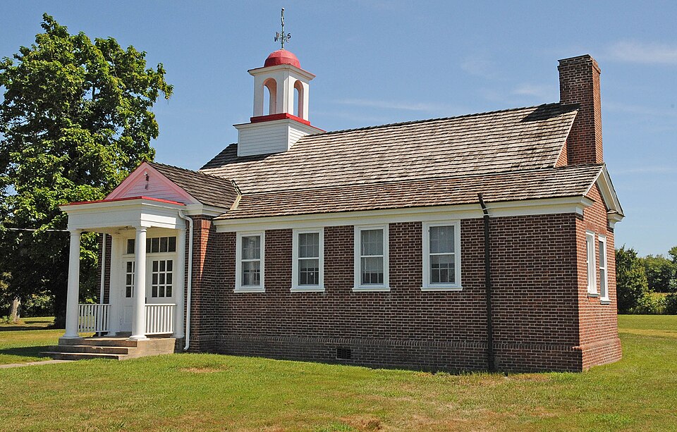
Listed on the National Register of Historic Places in 2019.
One of 411 National Register listings published here for New Castle County · listed in 2019 · category: Building.
Sources: the National Register database, National Park Service
Regional context, not property-specific evidence. The federal wildfire occurrence database lists 1 fire within 5 miles of Taylor's Bridge School in 2016, burning about 3 acres in total. None started naturally. 1 was recorded as arson. Distance is straight-line from the map coordinates, so a fire counted here may appear on a neighbouring settlement's page as well.
| Reported cause | Fires |
|---|---|
| Arson/incendiarism | 1 |
The most recent of them, most recent first, with the day each was reported and the service that recorded it.
| Date | Cause | Size | Reported by | Name on the report |
|---|---|---|---|---|
| 3 July 2016 | Arson/incendiarism | 3.0 acres | Delaware Forest Service | FISH |
Regional context, not property-specific evidence. The National Weather Service names Townsend, the town this property stands in, in 20 storm reports between 1998 and 2025: 9 thunderstorm wind, 4 flood, 2 hail, 2 heavy rain. No death or injury is recorded in these reports. Each account below is quoted exactly as the forecast office filed it, from the NOAA Storm Events Database, and each date opens the federal record of that event.
| When | Event | Place named | Harm | What the report says |
|---|---|---|---|---|
| May 2006 | Lightning | Townsend | $100,000 | no account filed |
| July 2012 | Thunderstorm Wind | Townsend | $1,000 | A severe thunderstorm knocked down a pole in Townsend. |
| March 2025 | Thunderstorm Wind | Townsend | - | Multiple trees and wires blown down. |
| April 2019 | Thunderstorm Wind | Townsend | - | A trained spotter reported a measured wind gust of 51 knots. |
| April 2017 | Thunderstorm Wind | Townsend | - | Powerlines down due to thunderstorm winds.||NWS Note: Some meso circulations were noted in the area, a small probability of a tornado based on radar. No direct information to suggest this. |
| July 2017 | Flood | Townsend | - | Several fields in low-lying areas were flooded. |
| July 2017 | Flood | Townsend | - | Caldwell Corner Road was flooded. |
| July 2017 | Flash Flood | Townsend | - | A daycare was flooded due to high water along with several vehicles being stuck as well. |
| July 2017 | Flood | Townsend | - | Dexter Corner road and Levels road flooded. |
| July 2017 | Flash Flood | Townsend | - | Flash flooding on Wiggins Mill Rd near Wiggins Mill Pond. |
| July 2017 | Flood | Townsend | - | Portions of Green Giant Road washed out. |
| July 2017 | Heavy Rain | Townsend | - | Just over two and a half inches of rain fell. |
| August 2016 | Thunderstorm Wind | Townsend | - | Numerous Trees and Wires down in and near Townsend. |
| August 2016 | Heavy Rain | Townsend | - | Heavy rainfall over 2 inches fell from thunderstorms. |
| August 2012 | Hail | Townsend | - | Nickel size hail fell in Townsend. |
| April 2010 | Thunderstorm Wind | Townsend | - | A severe thunderstorm tore down a couple of trees in Townsend. |
| July 2007 | Thunderstorm Wind | Townsend | - | A severe thunderstorm tore down large tree limbs and dropped penny size hail in Townsend. |
| July 2007 | Hail | Townsend | - | no account filed |
| June 2006 | Thunderstorm Wind | Townsend | - | no account filed |
| August 1998 | Thunderstorm Wind | Townsend | - | no account filed |
No historic map-sheet match is published for this property yet. That does not mean no map exists. This record needs a coordinate-quality review before it can be joined to a sheet boundary. Browse the county's mapped places while that work is pending.
Other National Register properties close enough to walk or drive between, ordered by distance from this one. Both positions come from the same geocoding pass that matched these properties to their map sheets.
| Photograph | Property | Distance | Listed |
|---|---|---|---|
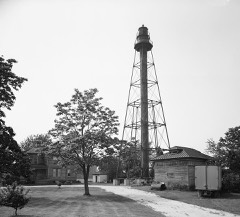 | Reedy Island Range Rear Light | 0.1 miles | 1989 |
| Johnson Home Farm | 0.5 miles | 1992 | |
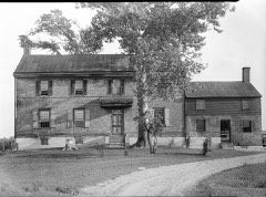 | Huguenot House | 1.6 miles | 1973 |
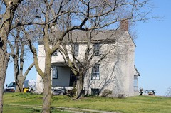 | Hart House | 2.4 miles | 1973 |
| Liston House | 2.4 miles | 1973 | |
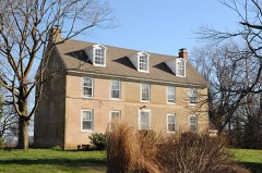 | Green Meadow | 3.2 miles | 1992 |
| National Archives record | The nomination case file for reference 100004079 in Record Group 79. |
| New Castle County | All 411 listed properties in this county. |