BlockBefore
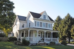
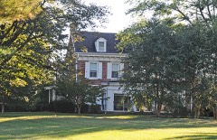
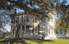
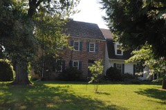
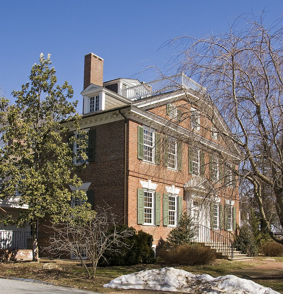
Photograph of Belmont Hall
Photograph by Acroterion, CC BY-SA 4.0. Via Wikimedia Commons.

Belmont Hall

Listed on the National Register of Historic Places in 1971.

From the record

“Belmont Hall is a Georgian house located in Smyrna, Delaware, built about 1773 by Thomas Collins, who would become the eighth governor of Delaware.”

Wikipedia article Belmont Hall (Smyrna, Delaware), CC BY-SA 4.0.

One of 136 National Register listings published here for Kent County · listed in 1971 · category: Building.

Sources: the Wikipedia article · the case file at the National Archives · the National Register database, National Park Service · the Wikipedia article
The listing

  • What is counted as historic. The nomination lists 1 building as contributing to the listing.
  • Address. 1 mi. S of Smyrna on U.S. 13, Smyrna, 19977
  • When was it listed? December 1971
  • Category. building
  • Census division. Smyrna
  • Architectural style. Georgian architecture
  • National Register reference number. 71000223 - the number the National Park Service assigned this property when it was listed, and the key its nomination file is catalogued under at the National Archives.

Mines and quarries near this property

1 within 5 miles

Regional context, not property-specific evidence. The federal mineral resources record lists 1 working within 5 miles of Belmont Hall: 1 producer. All of them still produce. What was taken out: Sand and Gravel, Construction. Distance is straight-line from the map coordinates, so a quarry counted here may appear on a neighbouring settlement's page as well.

Where SiteCommodity StatusRecorded
Hoskinson Gravel PitSand and Gravel, ConstructionProducer

Every working recorded in Kent County

Storms near this property

31 since 1997

Regional context, not property-specific evidence. The National Weather Service names Smyrna, the town this property stands in, in 31 storm reports between 1997 and 2026: 19 thunderstorm wind, 4 heavy rain, 3 lightning, 3 hail. No death or injury is recorded in these reports. Each account below is quoted exactly as the forecast office filed it, from the NOAA Storm Events Database, and each date opens the federal record of that event.

WhenEvent Place namedHarm What the report says
April 2002HailSmyrna$100,000no account filed
July 2014Thunderstorm WindSmyrna$25,000A severe thunderstorm tore siding from homes, knocked down trees and mail boxes in Smyrna.
July 2004LightningSmyrna$10,000no account filed
July 2012Thunderstorm WindSmyrna$1,000A severe thunderstorm knocked down a couple of trees and wires in Smyrna.
April 2026Thunderstorm WindSmyrna-Multiple large trees and power lines were blown down in Smyrna.
July 2023Thunderstorm WindSmyrna-Wires down in Smyrna. Time estimated from radar.
July 2023Thunderstorm WindSmyrna-Report of a tree blown down into a structure in Smryna. Time estimated from radar.
July 2023Thunderstorm WindSmyrna-Large tree limb down along Smyrna-Leipsic Road near Sunnyside Road. Report via social media. Time estimated from radar.
April 2019Thunderstorm WindSmyrna-Multiple large trees were reported down, some causing property damage. Time estimated from radar.
July 2017Heavy RainSmyrna-Several inches of rain fell in a quick time-span.
July 2017Heavy RainSmyrna-Around three and a half inches of rain fell at this DEOS.
September 2016Heavy RainSmyrna-Around three inches of rain fell.
August 2016Thunderstorm WindSmyrna-Trees downed due to thunderstorm winds in Smyrna and Clayton.
June 2015Thunderstorm WindSmyrna-A severe thunderstorm generated a wind gust of 59 mph in Smyrna. Widely scattered power outages also occurred.
September 2012Thunderstorm WindSmyrna-A severe thunderstorm knocked down a few trees in Smyrna.
May 2011HailSmyrna-Penny size hail fell in Smyrna.
August 2011Flash FloodSmyrna-Repeat thunderstorms with heavy rain dropped around six inches of rain across most of the northern third of Kent County. This caused small stream, field and poor drainage flash flooding. Several roads were flooded and closed from near Dover northward. Delaware State Route 6 was closed near Clayton as was Main Street within Clayton itself. Just south of Smyrna, the northbound exit off of Delaware State Route 1 was closed. Event precipitation totals included 5.11 inches in Smyrna and 3.98 inches in Kenton.
June 2011Thunderstorm WindSmyrna-A severe thunderstorm knocked down a few trees in Smyrna.
July 2017Heavy RainSmyrna-no account filed
July 2006Thunderstorm WindSmyrna-no account filed
June 2005Thunderstorm WindSmyrna-no account filed
June 2005Funnel CloudSmyrna-no account filed
August 2003Thunderstorm WindSmyrna-no account filed
June 2002HailSmyrna-no account filed
June 2002Thunderstorm WindSmyrna-no account filed
April 2001Thunderstorm WindSmyrna-no account filed
June 2000Thunderstorm WindSmyrna-no account filed
August 1998LightningSmyrna-no account filed
June 1997Thunderstorm WindSmyrna-no account filed
June 1997LightningSmyrna-no account filed
February 1997Thunderstorm WindSmyrna-no account filed

Every storm recorded in Kent County

Map coverage status

No historic map-sheet match is published for this property yet. That does not mean no map exists. This record needs a coordinate-quality review before it can be joined to a sheet boundary. Browse the county's mapped places while that work is pending.

Listed places nearby

6 within 8 miles

Other National Register properties close enough to walk or drive between, ordered by distance from this one. Both positions come from the same geocoding pass that matched these properties to their map sheets.

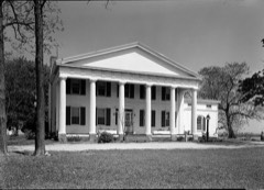
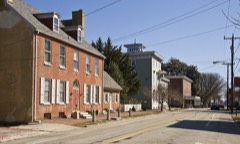
Photograph PropertyDistance Listed
Woodlawn0.3 miles1982
The Smyrna Opera House0.6 miles1980
Moore House1.0 miles1982
Ivy Dale Farm1.0 miles1973
Peterson and Mustard's Hermitage Farm1.4 miles1982
Bannister Hall and Baynard House1.4 miles1973

Sources for this property

National Archives recordThe nomination case file for reference 71000223 in Record Group 79.
Wikipedia articleCommunity-written account of this property, licensed CC BY-SA.
Kent CountyAll 136 listed properties in this county.

Provenance

  • Listing record. National Park Service National Register of Historic Places, listed-properties dataset, current to 2026-05-22.
  • Map join. Address geocoded through the United States Census geocoder, then tested against the published boundary of every sheet in the USGS Historical Topographic Map Collection.
  • How this page is made. Listing fields come from federal records; map-sheet coverage is a labelled coordinate-to-boundary calculation, not a source-field claim.
  • Mines and quarries. USGS Mineral Resources Data System (MRDS) https://mrdata.usgs.gov/mrds/ A work of the United States government, no copyright under 17 U.S.C. 105.
  • Storms. NOAA National Centers for Environmental Information, Storm Events Database https://www.ncei.noaa.gov/stormevents/ A work of the United States government, no copyright under 17 U.S.C. 105. Narratives are quoted verbatim from the National Weather Service report and are not edited or summarised.