 Block
BlockFrom the record
12 National Register listings published here.
Sources: the National Register database, National Park Service
126 topographic sheets cover 66 settlements here, and 12 properties are on the National Register of Historic Places.
12 National Register listings published here.
Sources: the National Register database, National Park Service
Every property in this county listed on the National Register of Historic Places, with the year it was listed and the federal nomination document.
| Photograph | Property | Type | Listed | Reference |
|---|---|---|---|---|
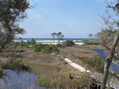 | Camp Helen Historic District | district | 2012 | 12000298 |
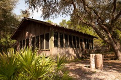 | Latimer Cabin | building | 2004 | 04000972 |
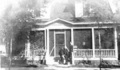 | Robert L. McKenzie House | building | 1986 | 86001728 |
| Panama City Publishing Company Building | building | 2021 | 100006752 | |
| Panama Grammar School | building | 2020 | 100004888 | |
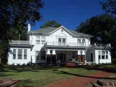 | Payne, A.A.-Christo, John Sr., House | building | 2008 | 08000671 |
 | SS Tarpon (Shipwreck) | site | 2001 | 01000527 |
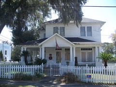 | Sapp House | building | 2003 | 03000991 |
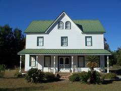 | Schmidt-Godert Farm | building | 2002 | 02001083 |
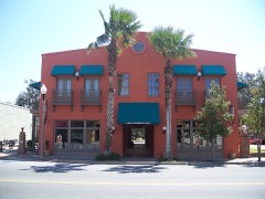 | Sherman Arcade | building | 1998 | 98001155 |
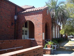 | St. Andrew School | building | 1997 | 97000839 |
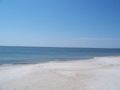 | Vamar Shipwreck Site | site | 2006 | 06000243 |
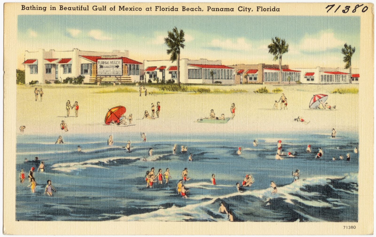
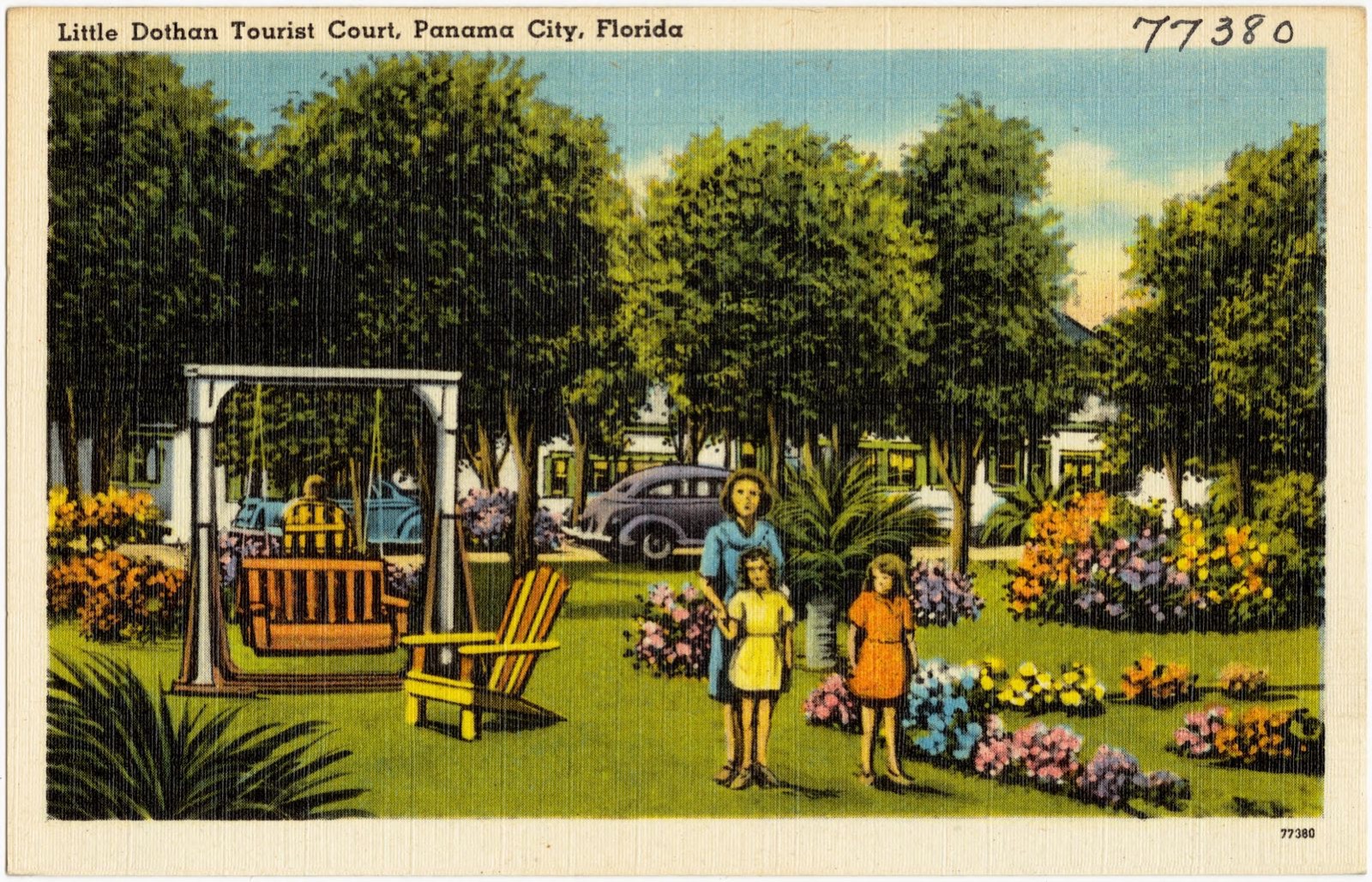
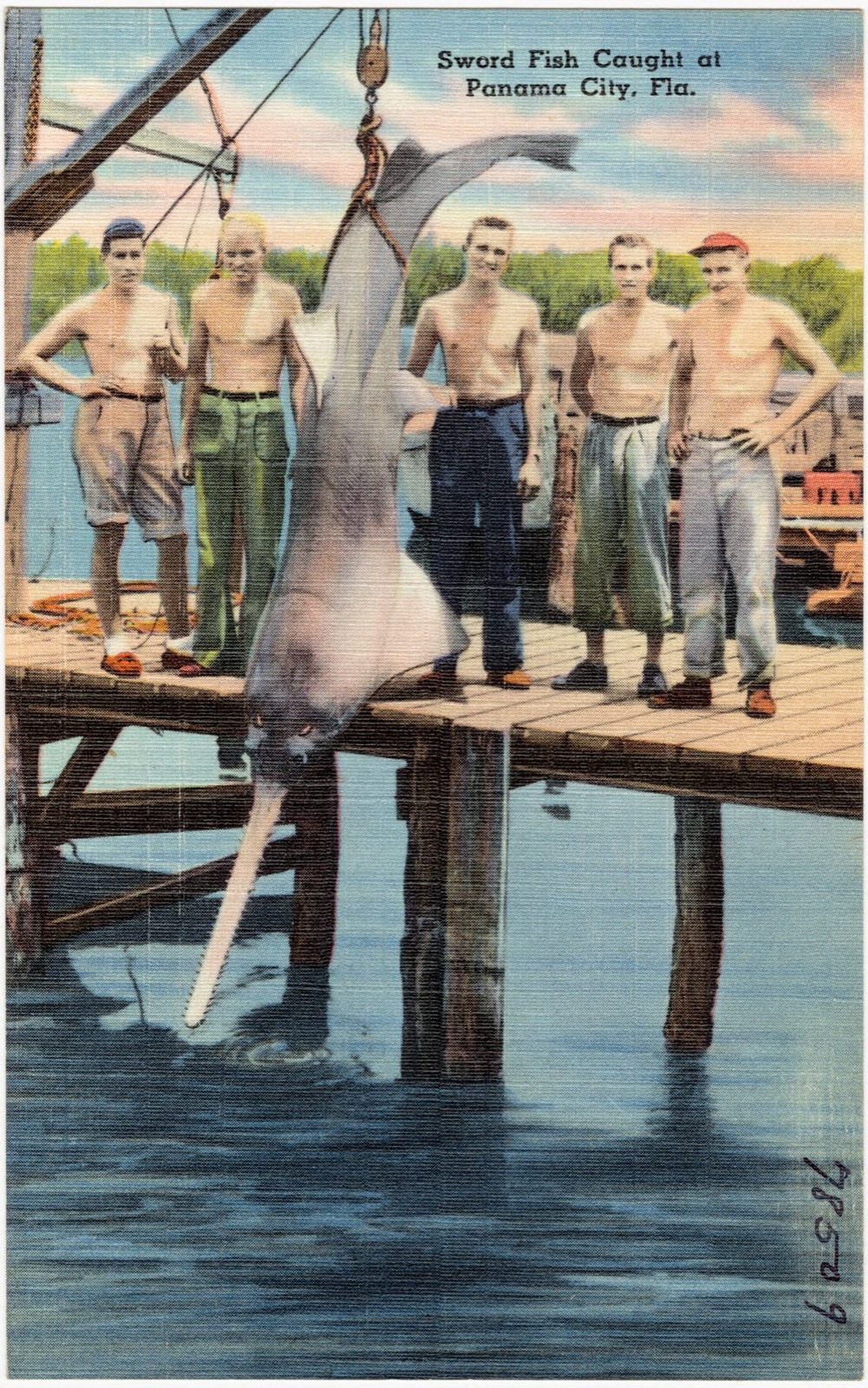
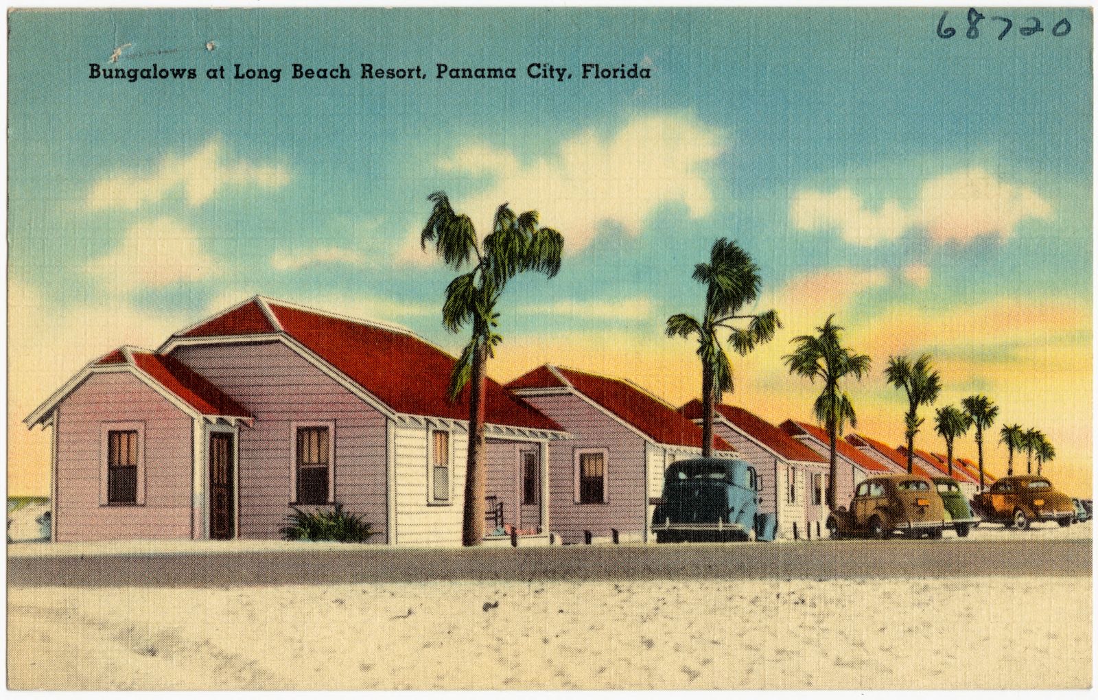
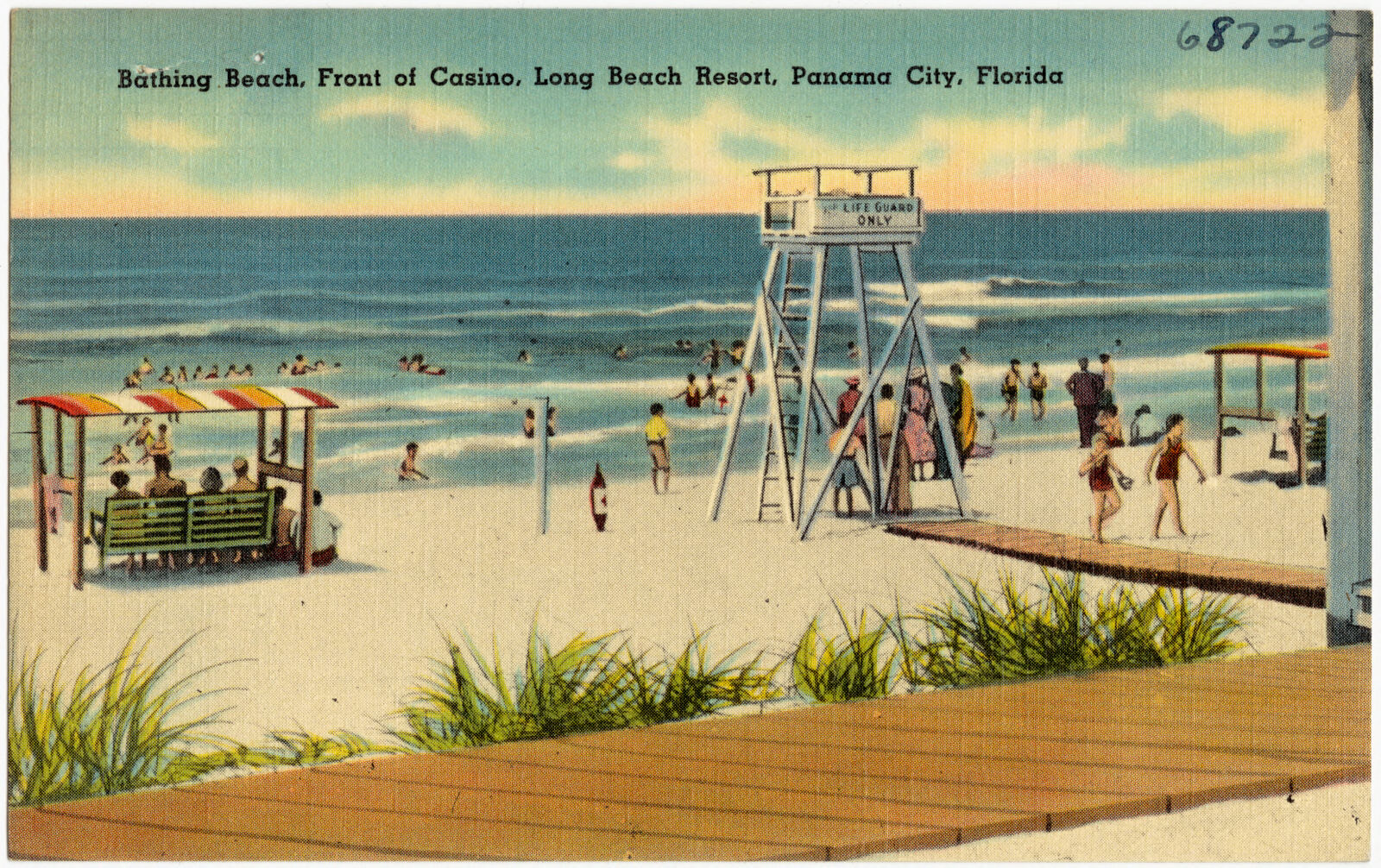
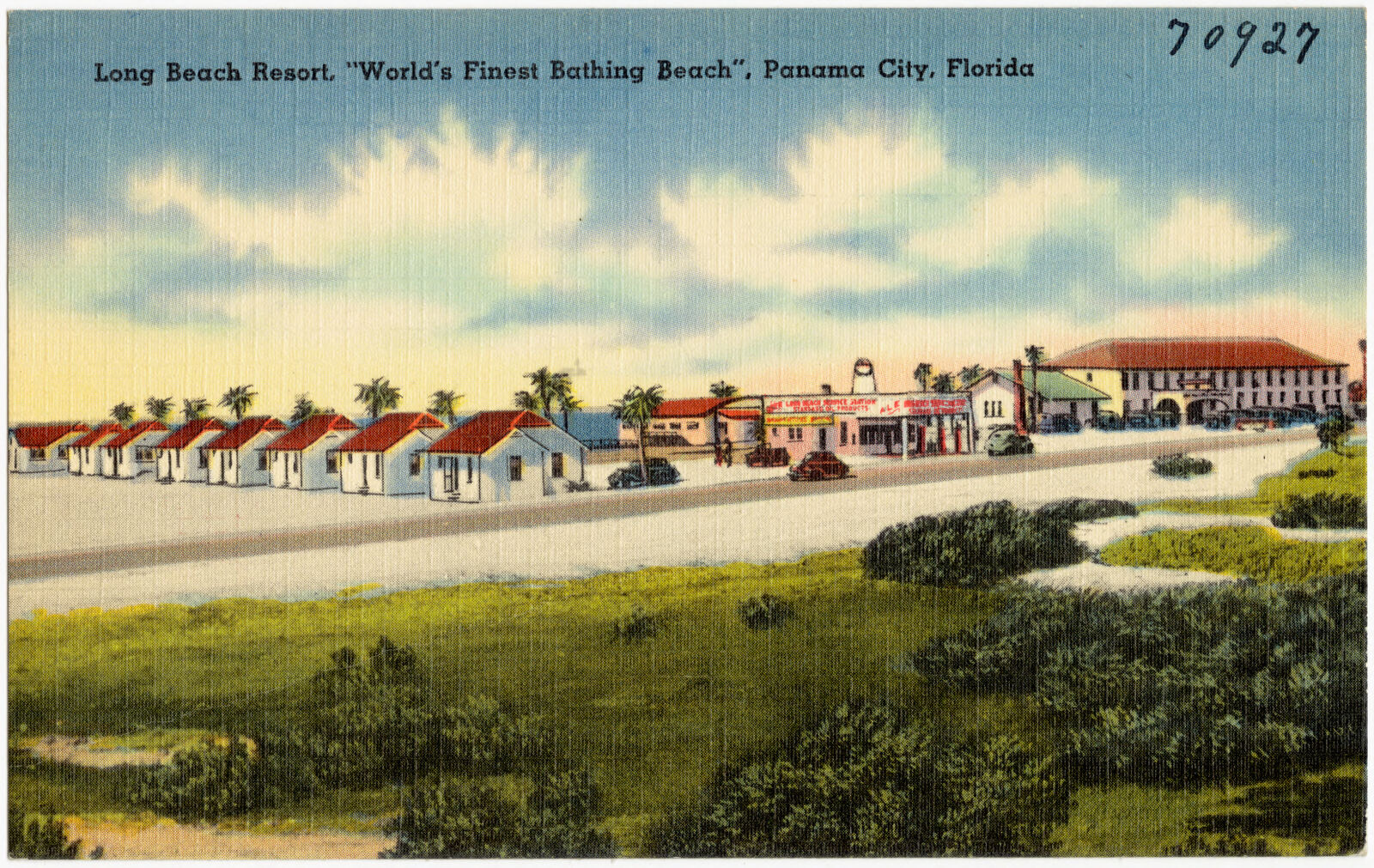
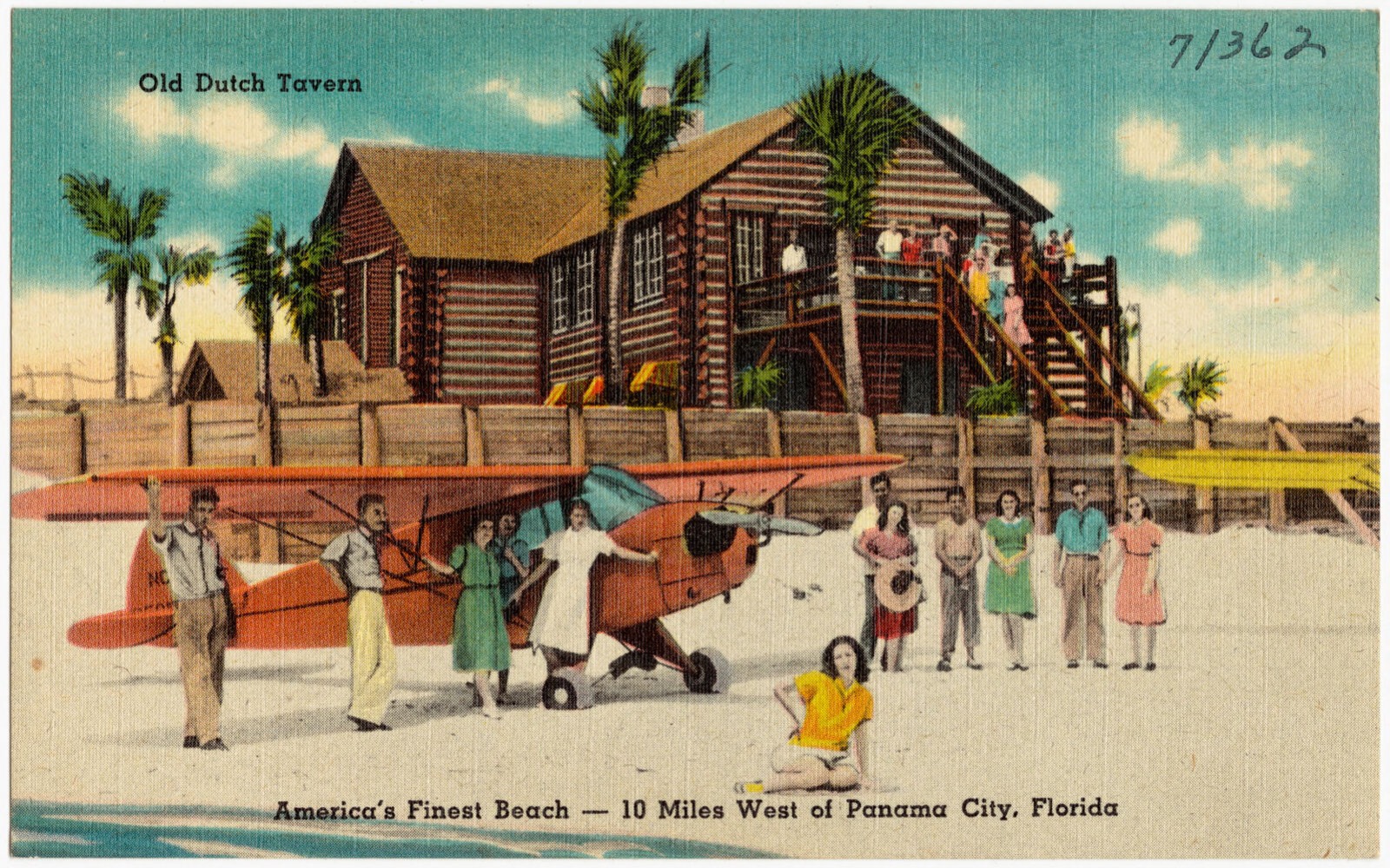
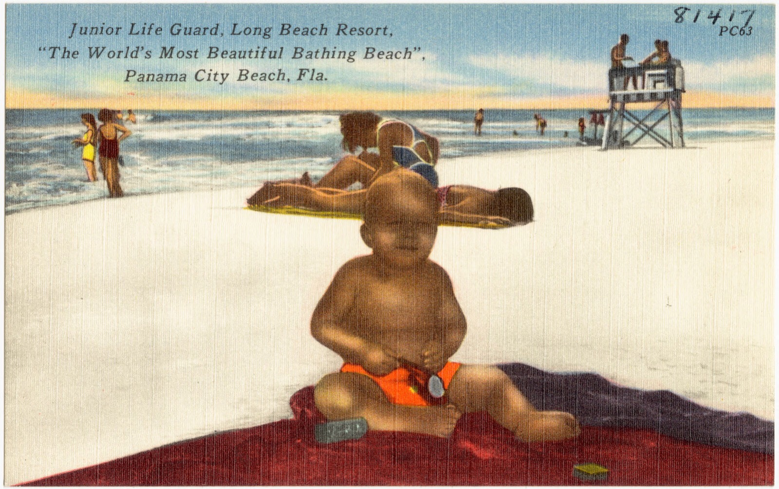
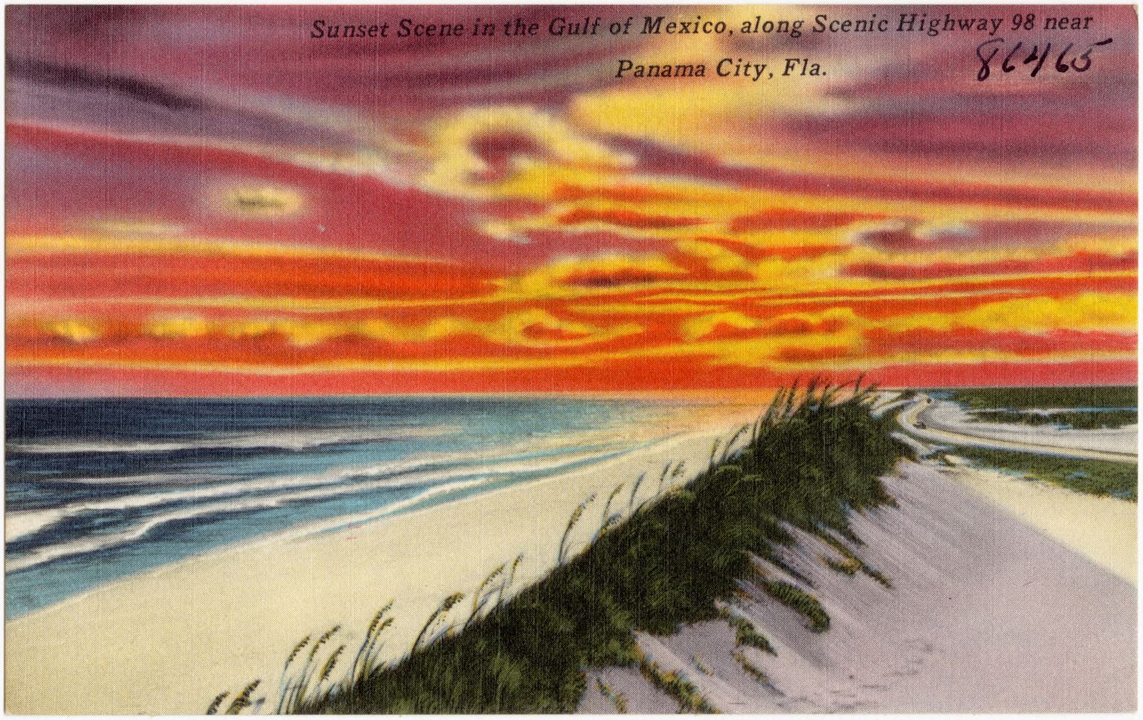
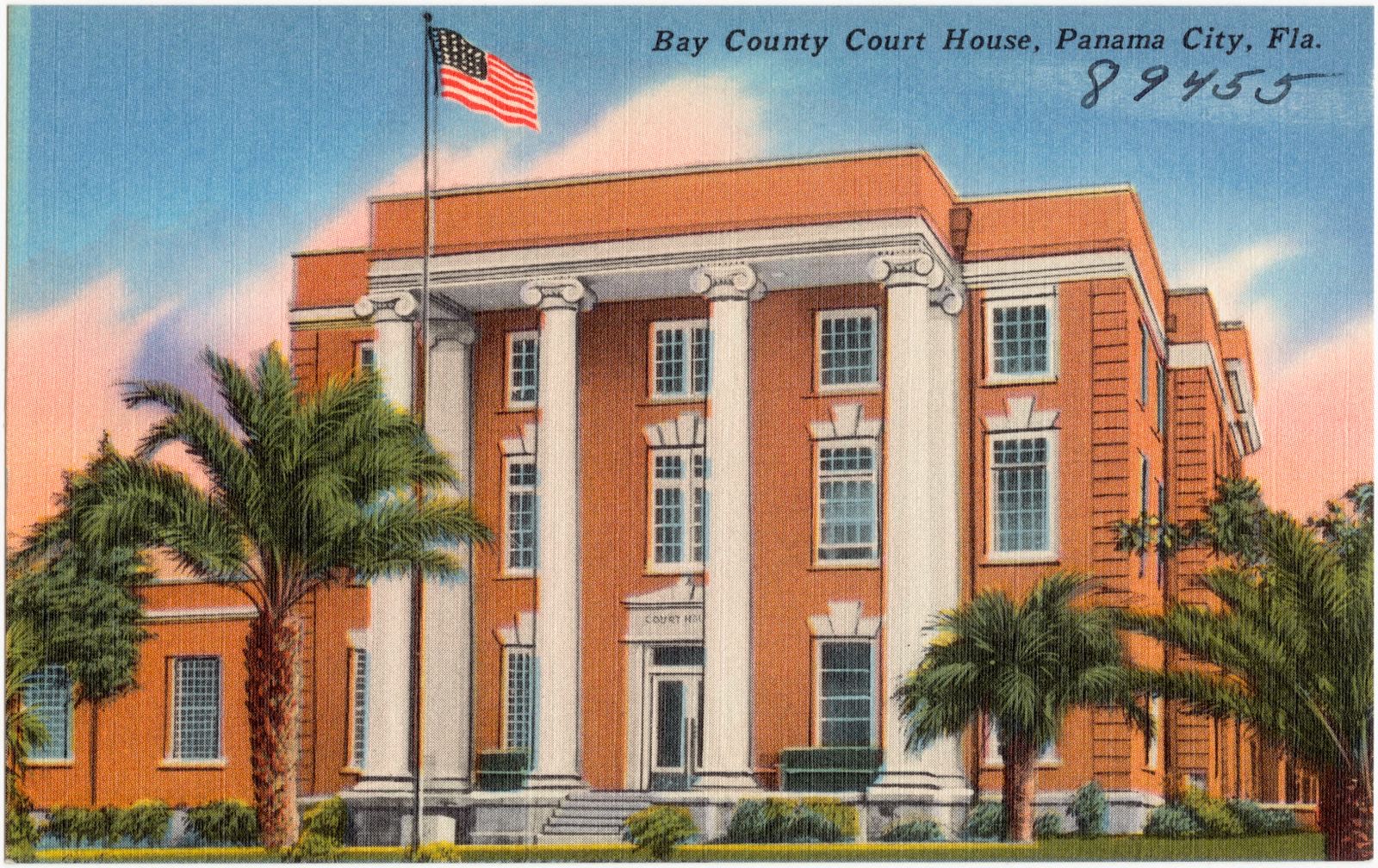
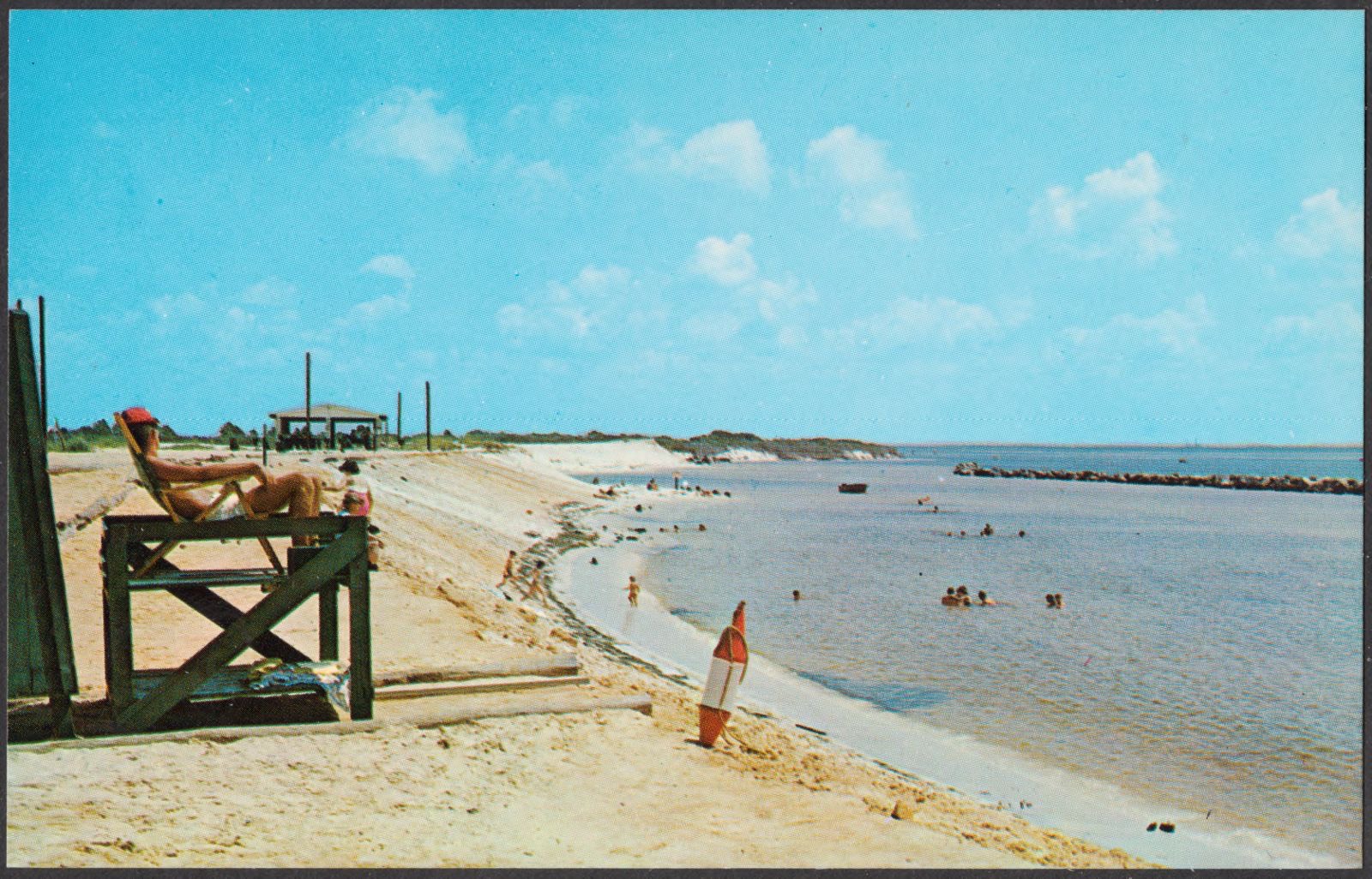
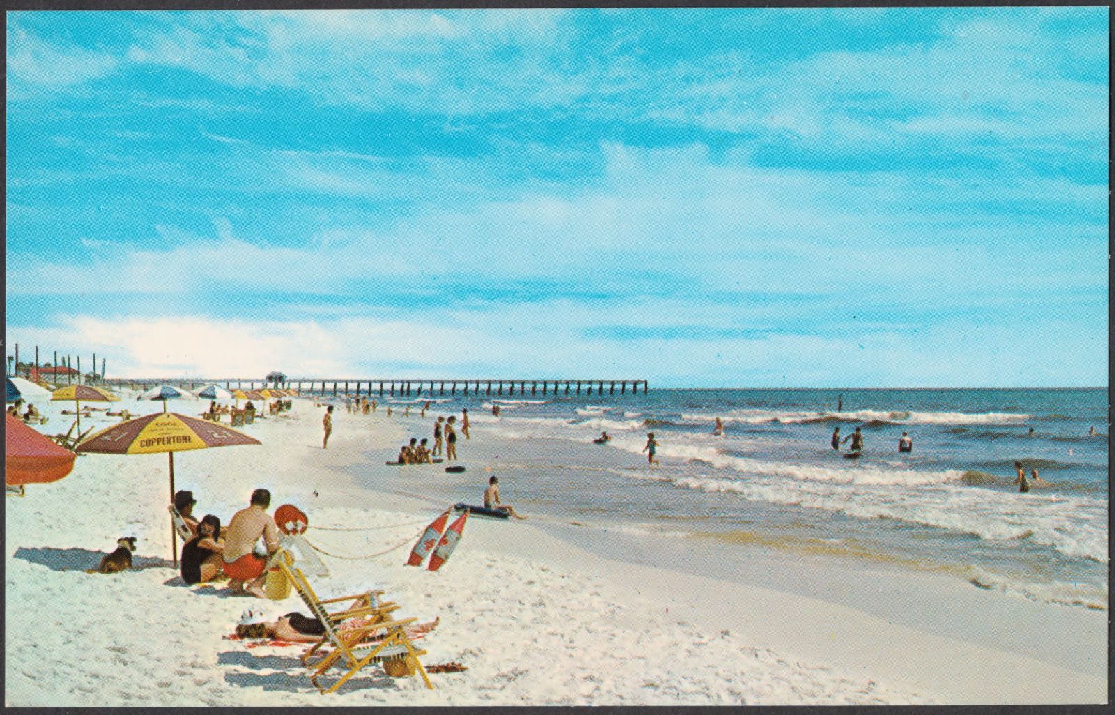
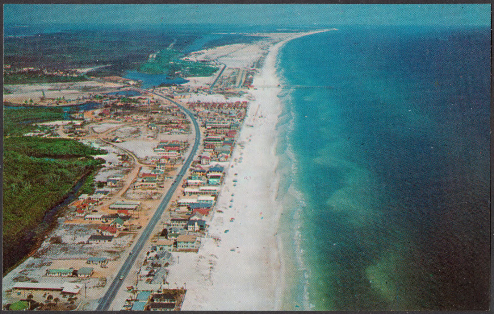
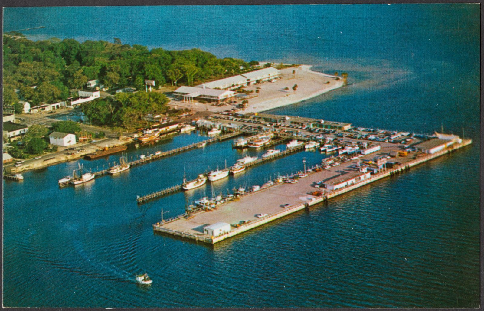
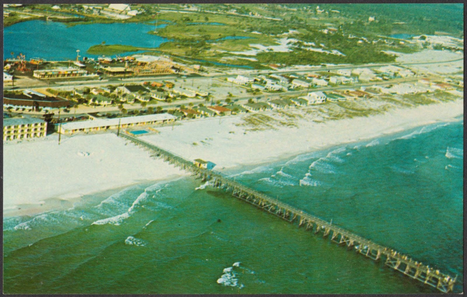
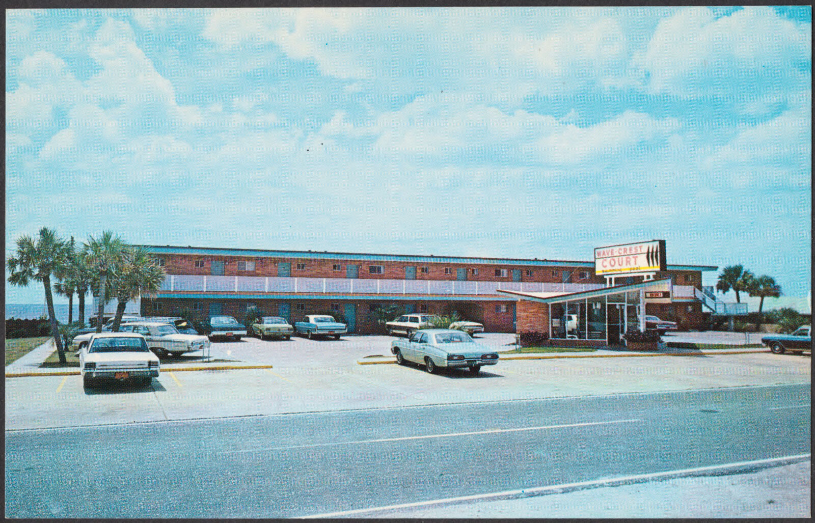
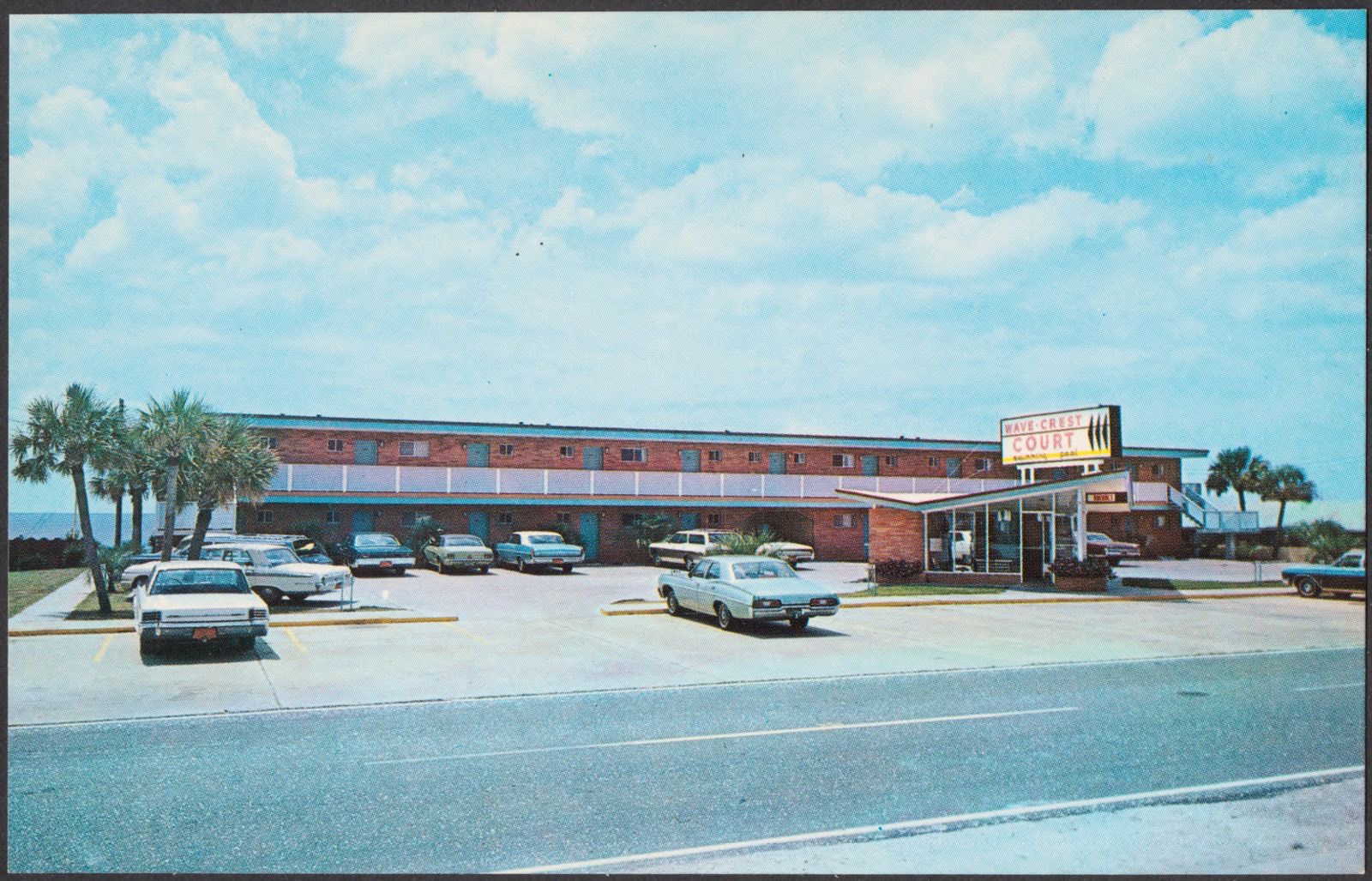
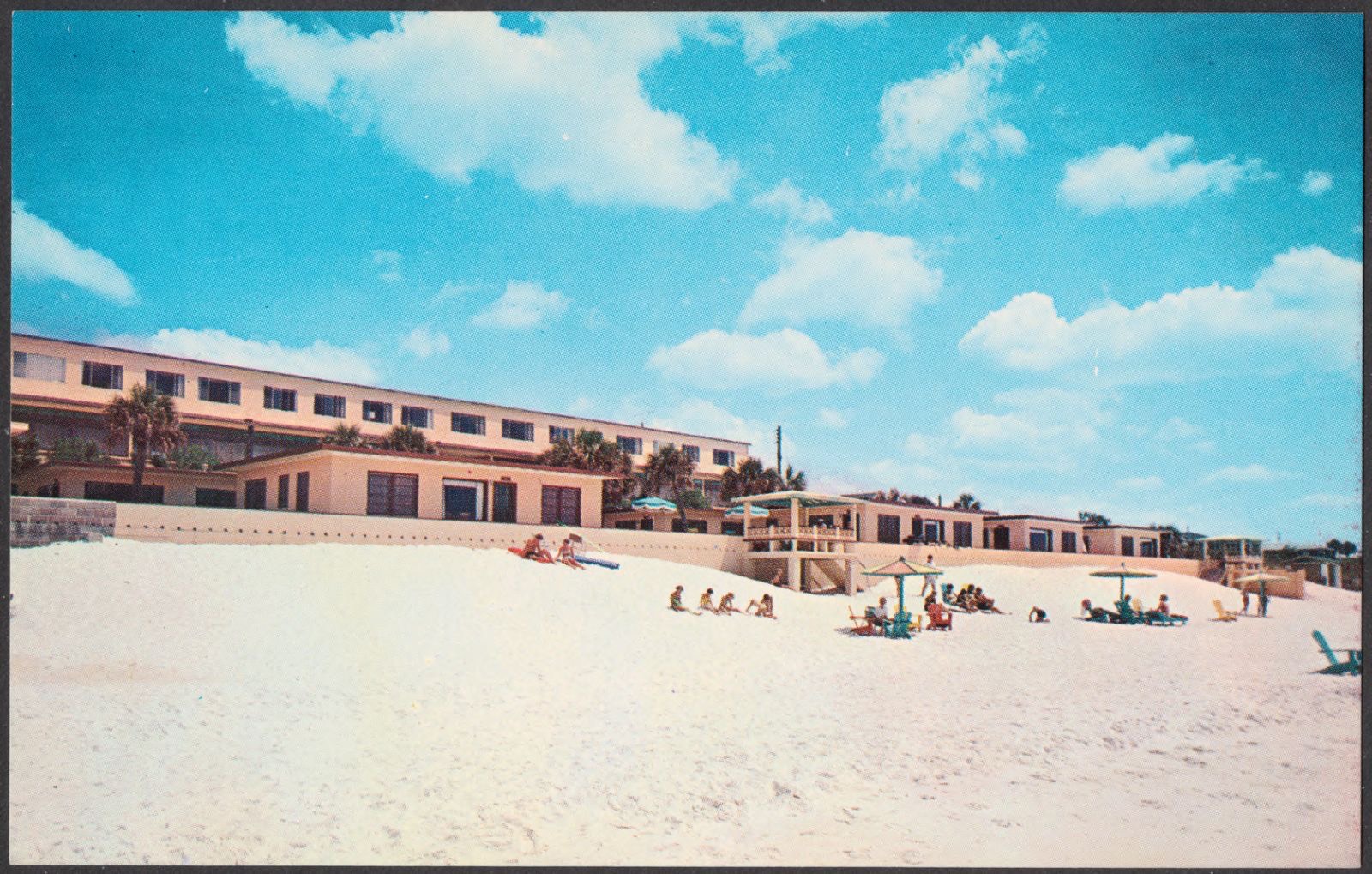
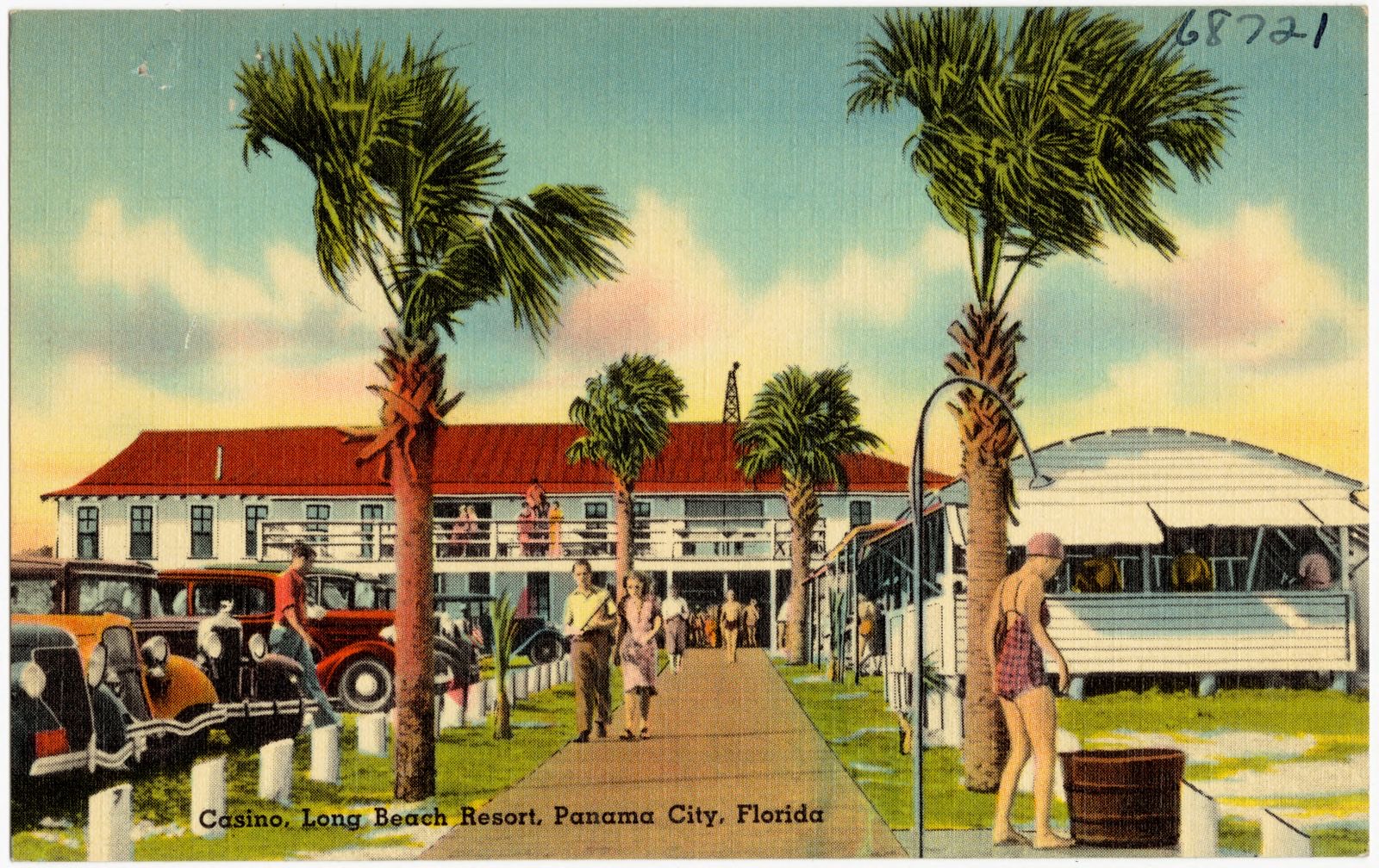
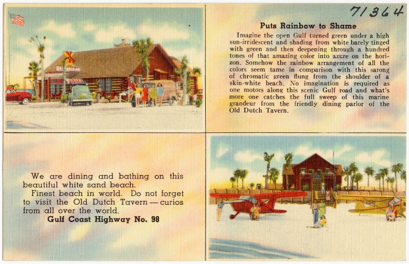
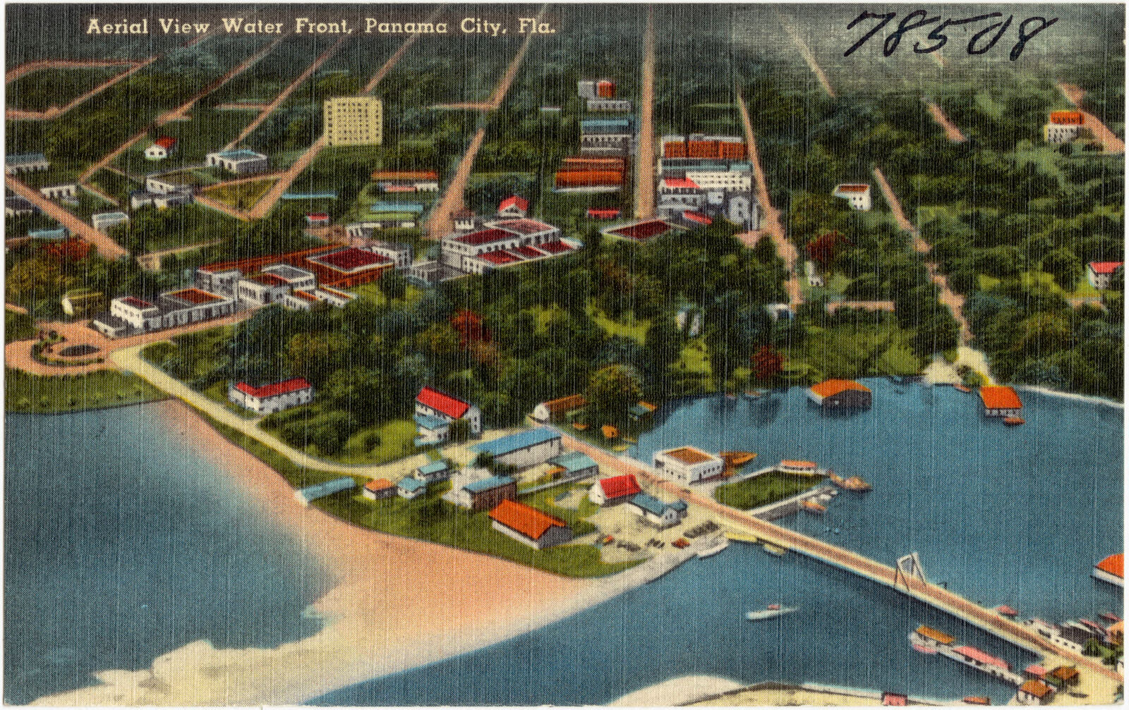
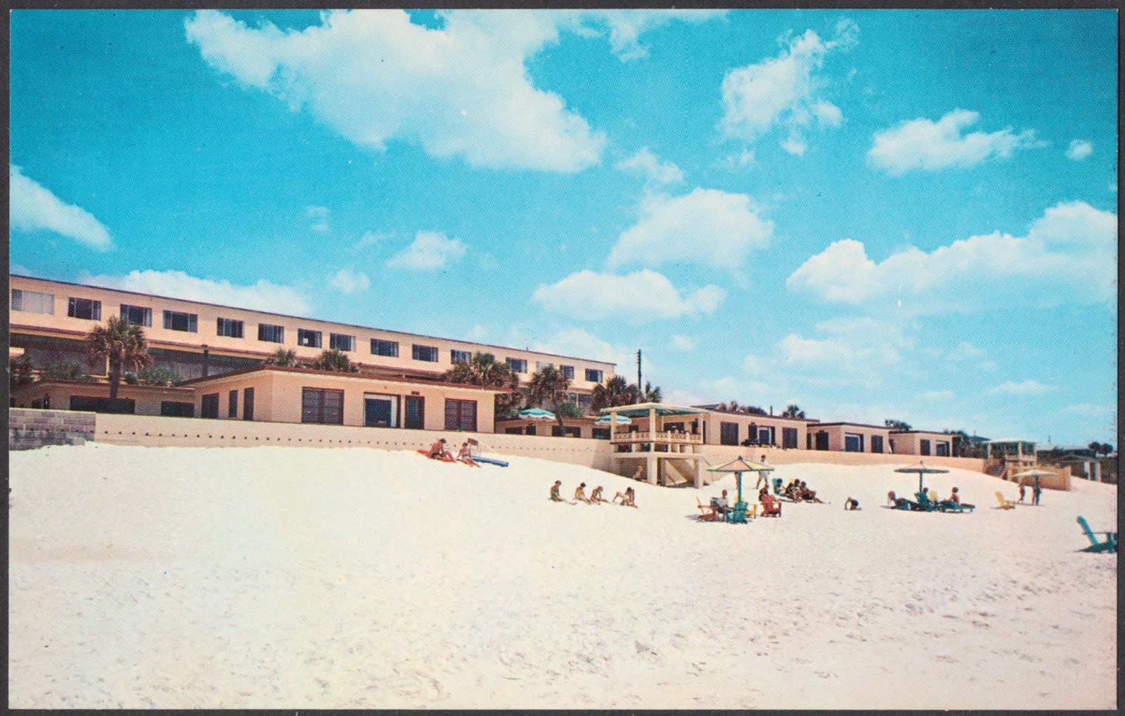
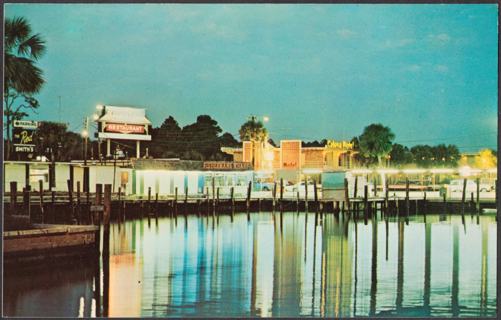
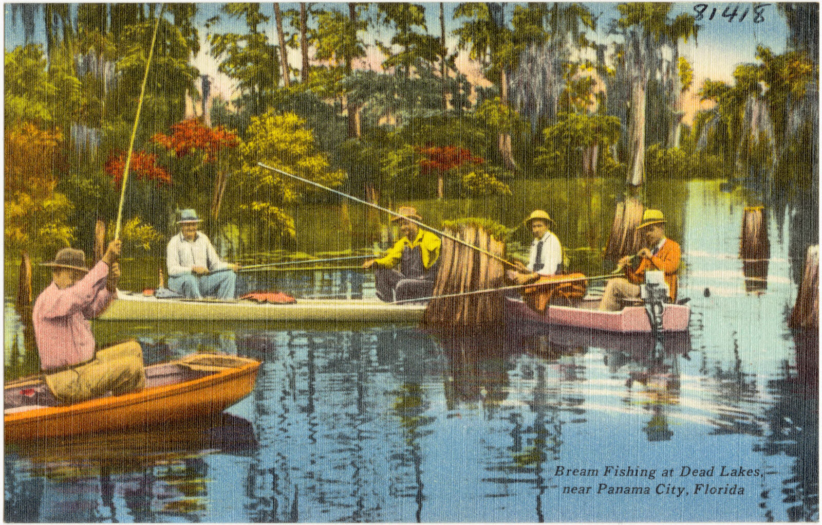
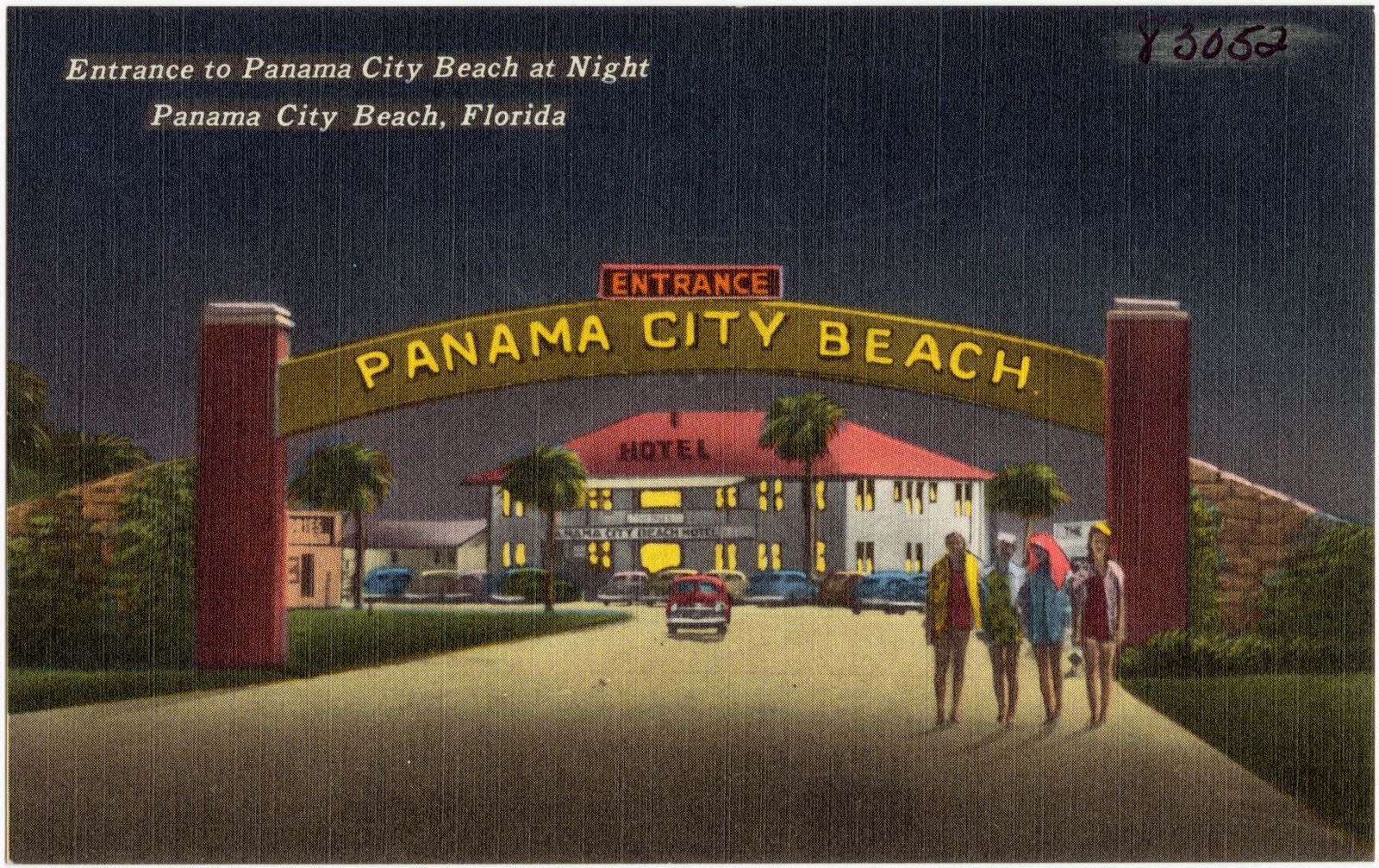
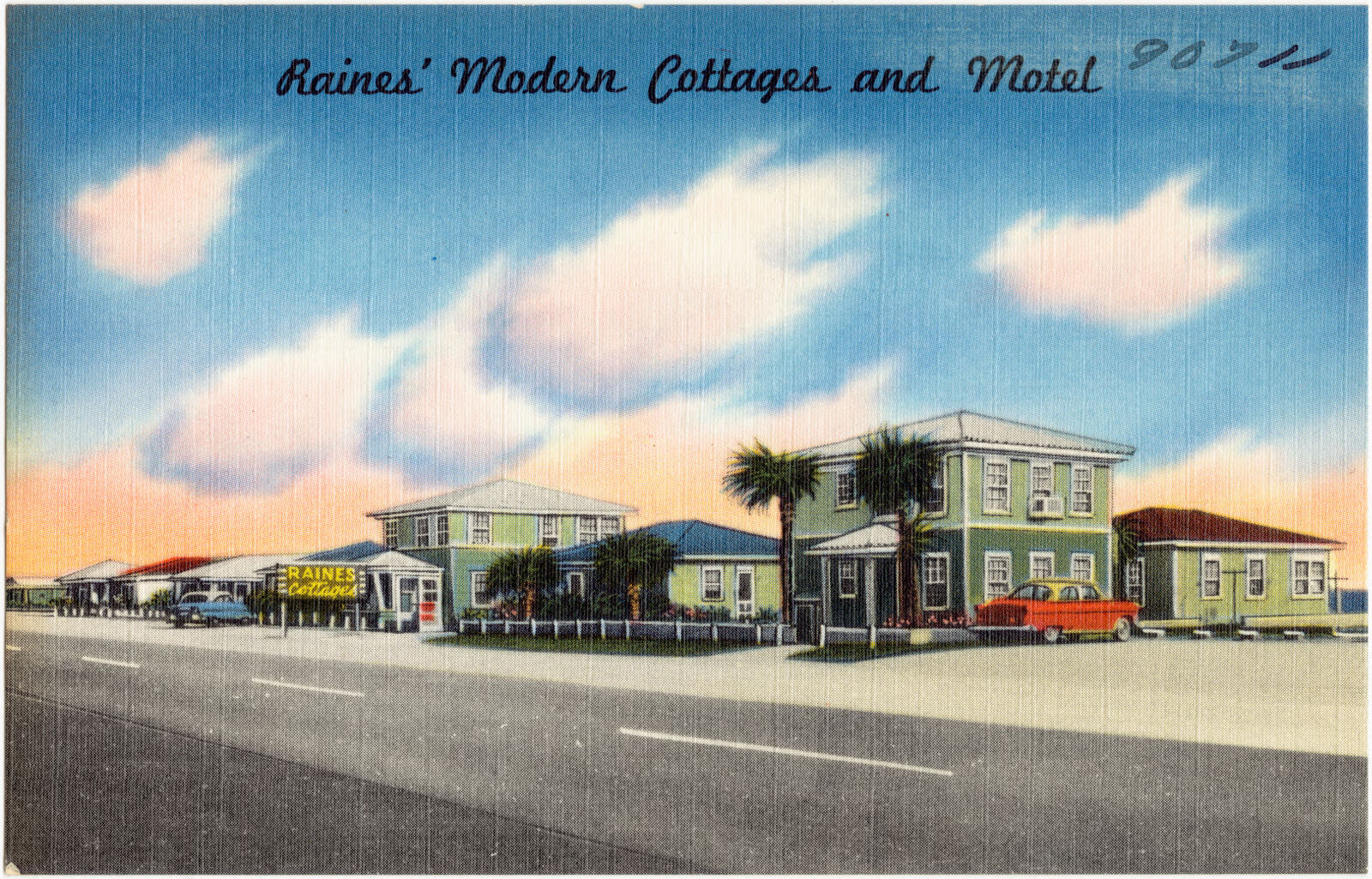
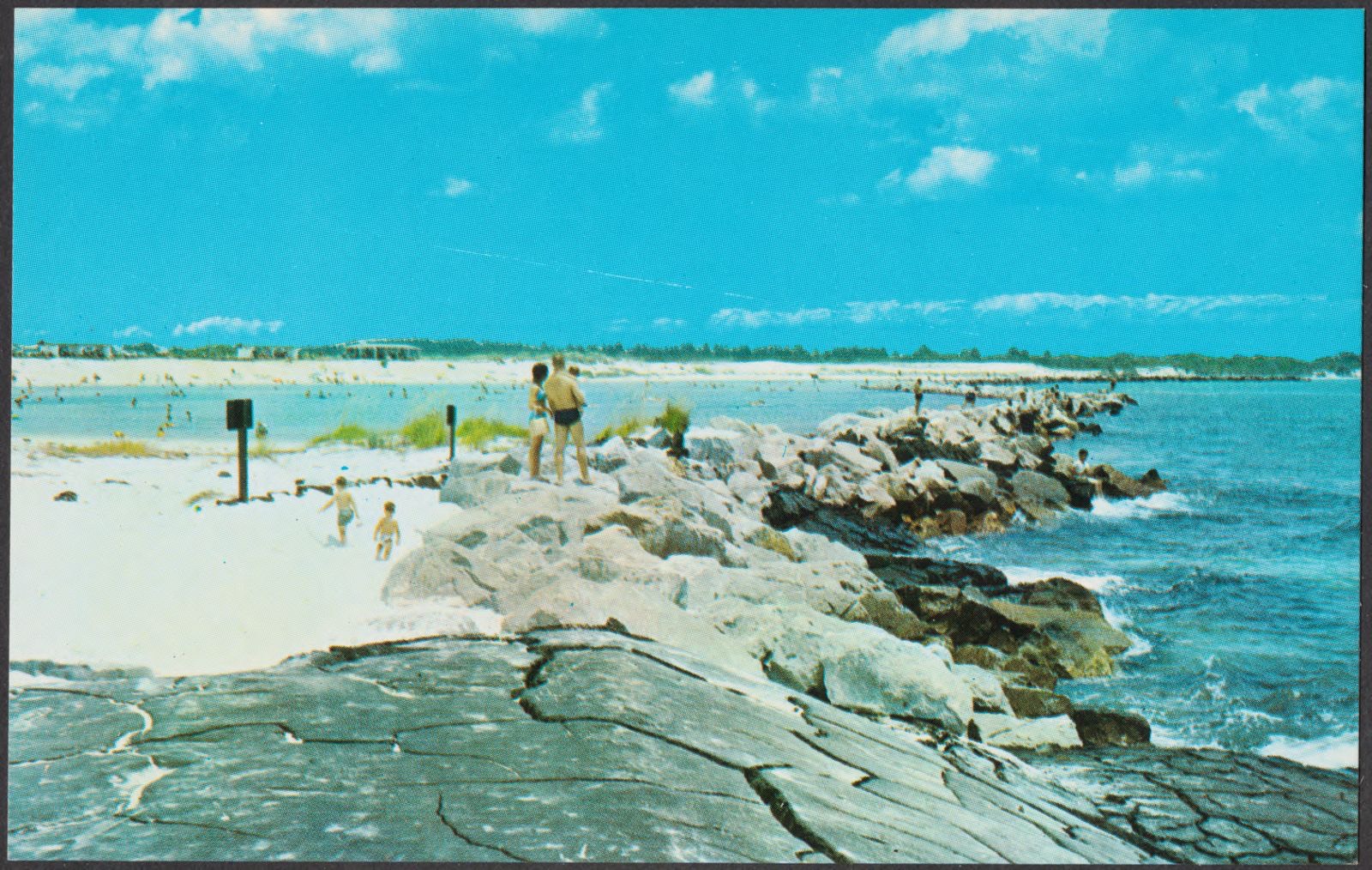
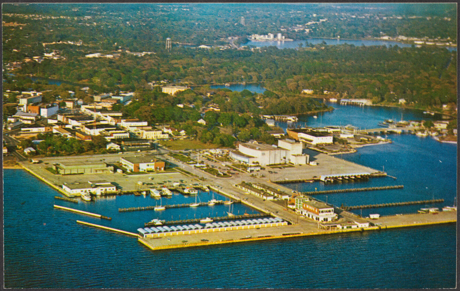
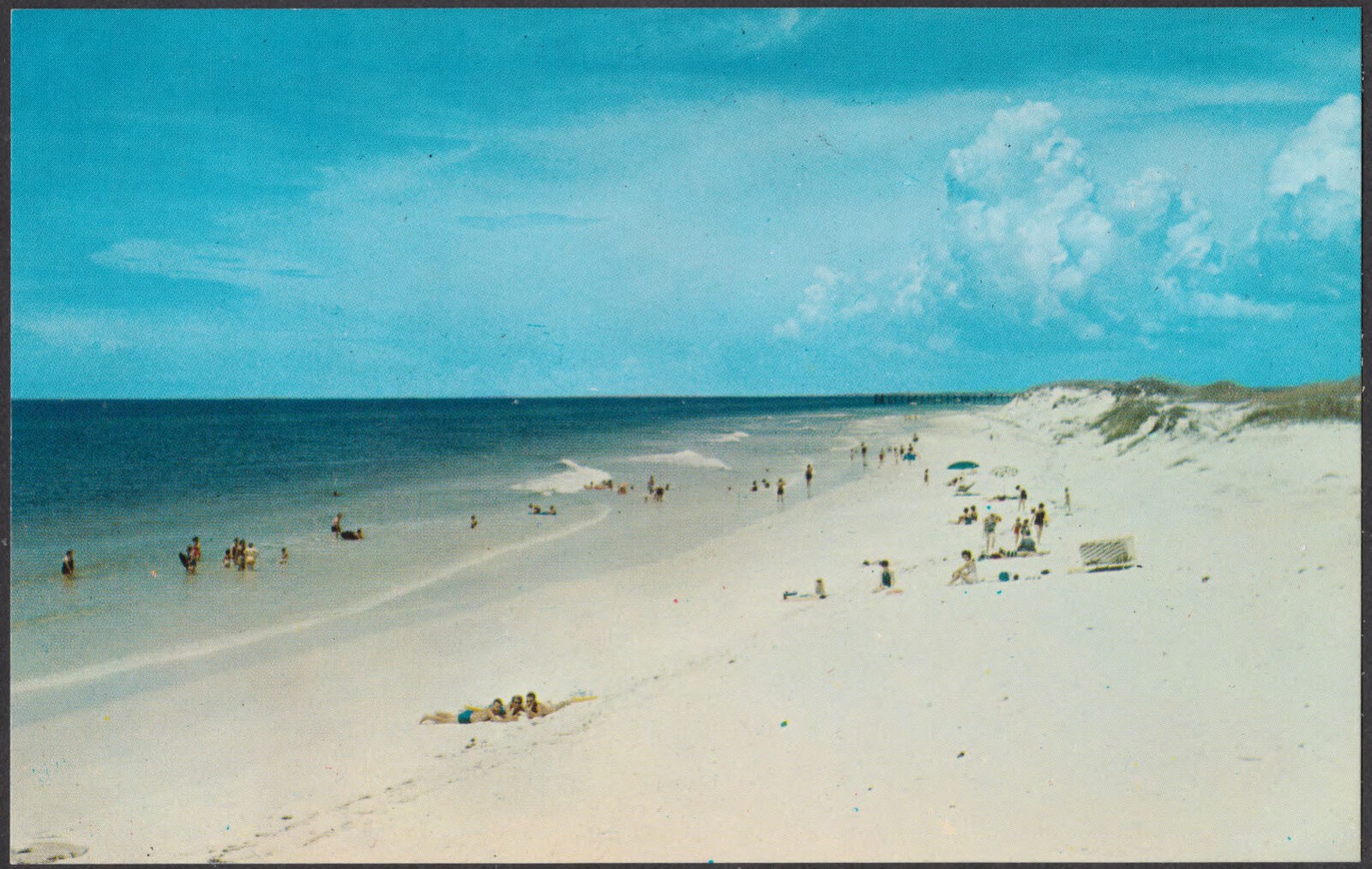
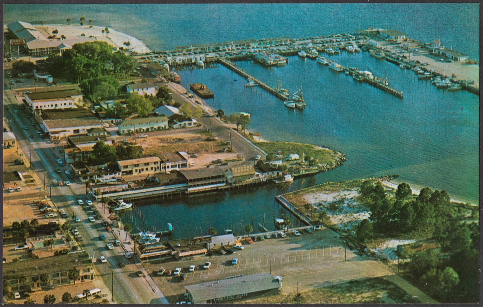
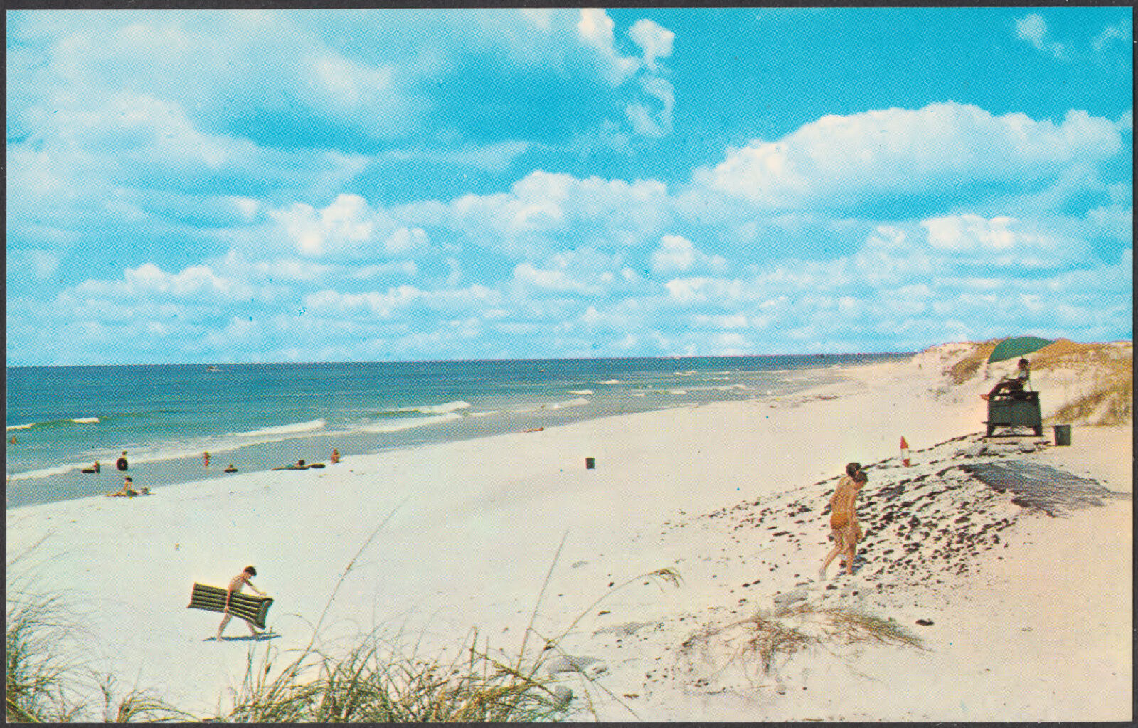
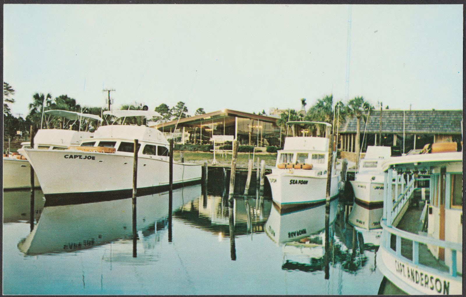
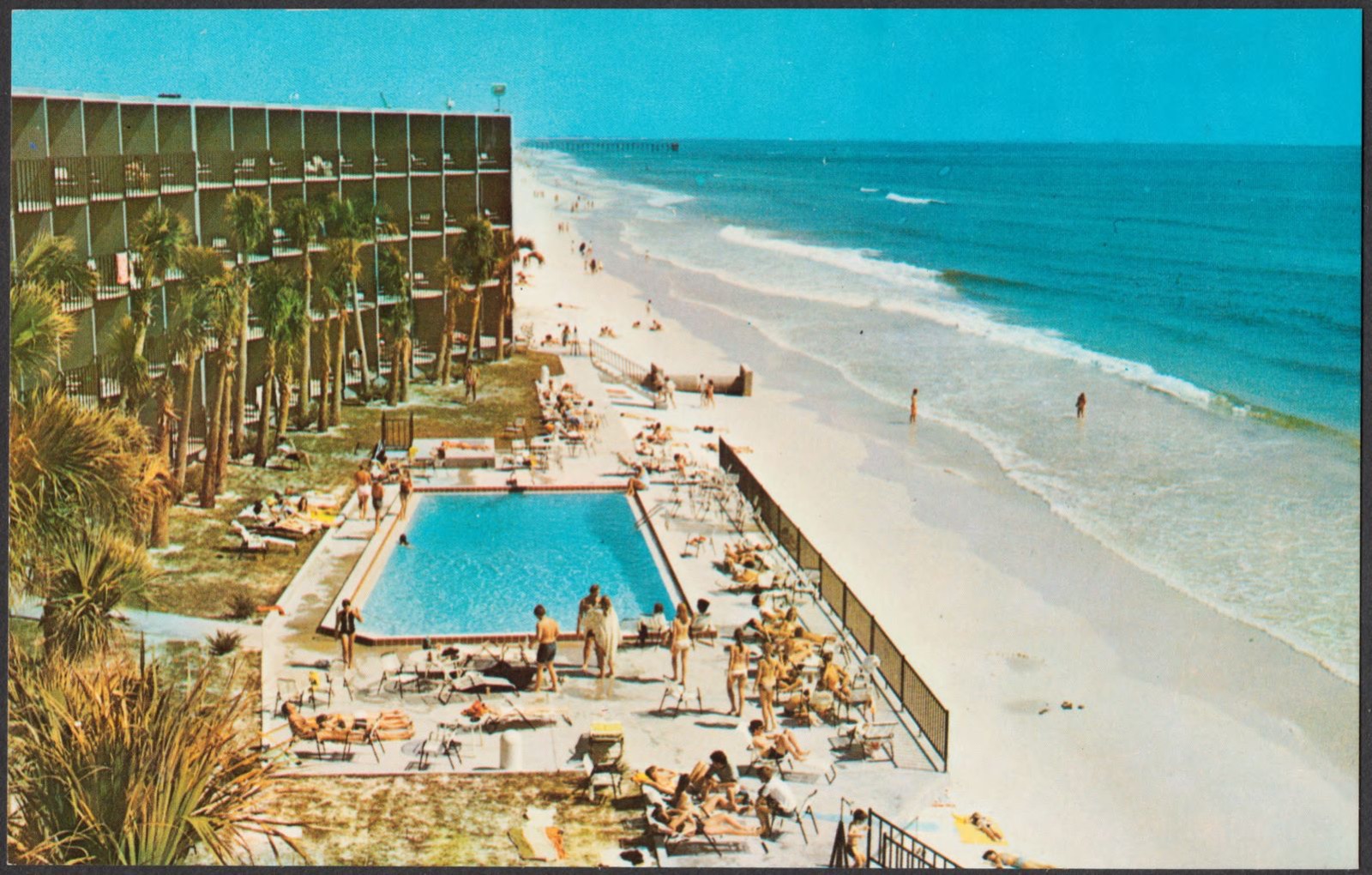
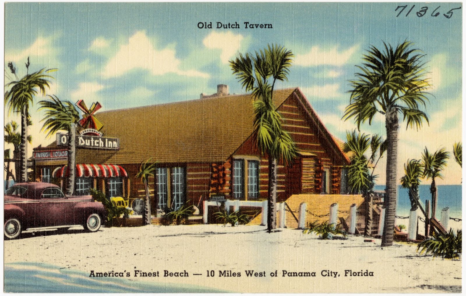
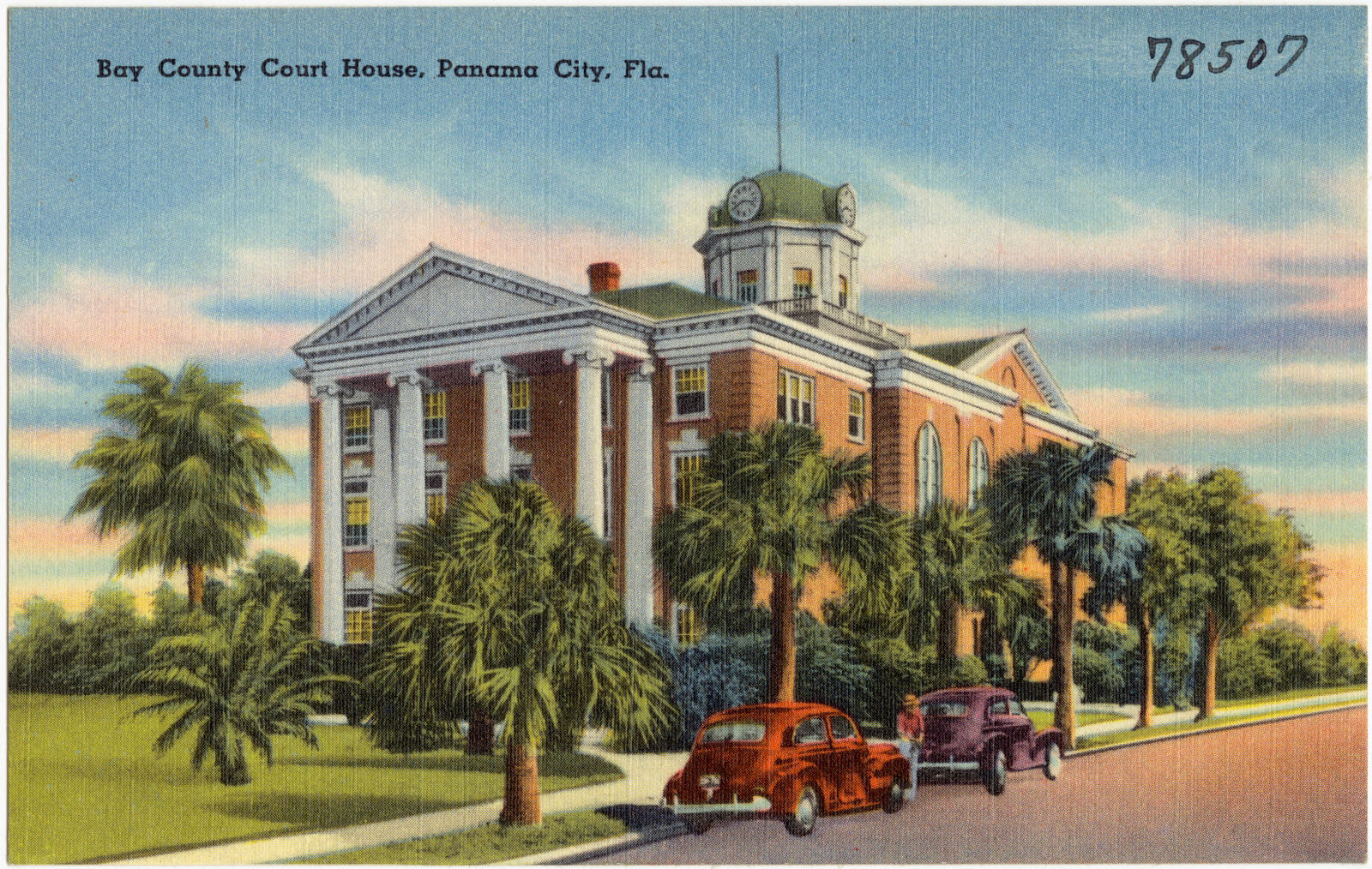
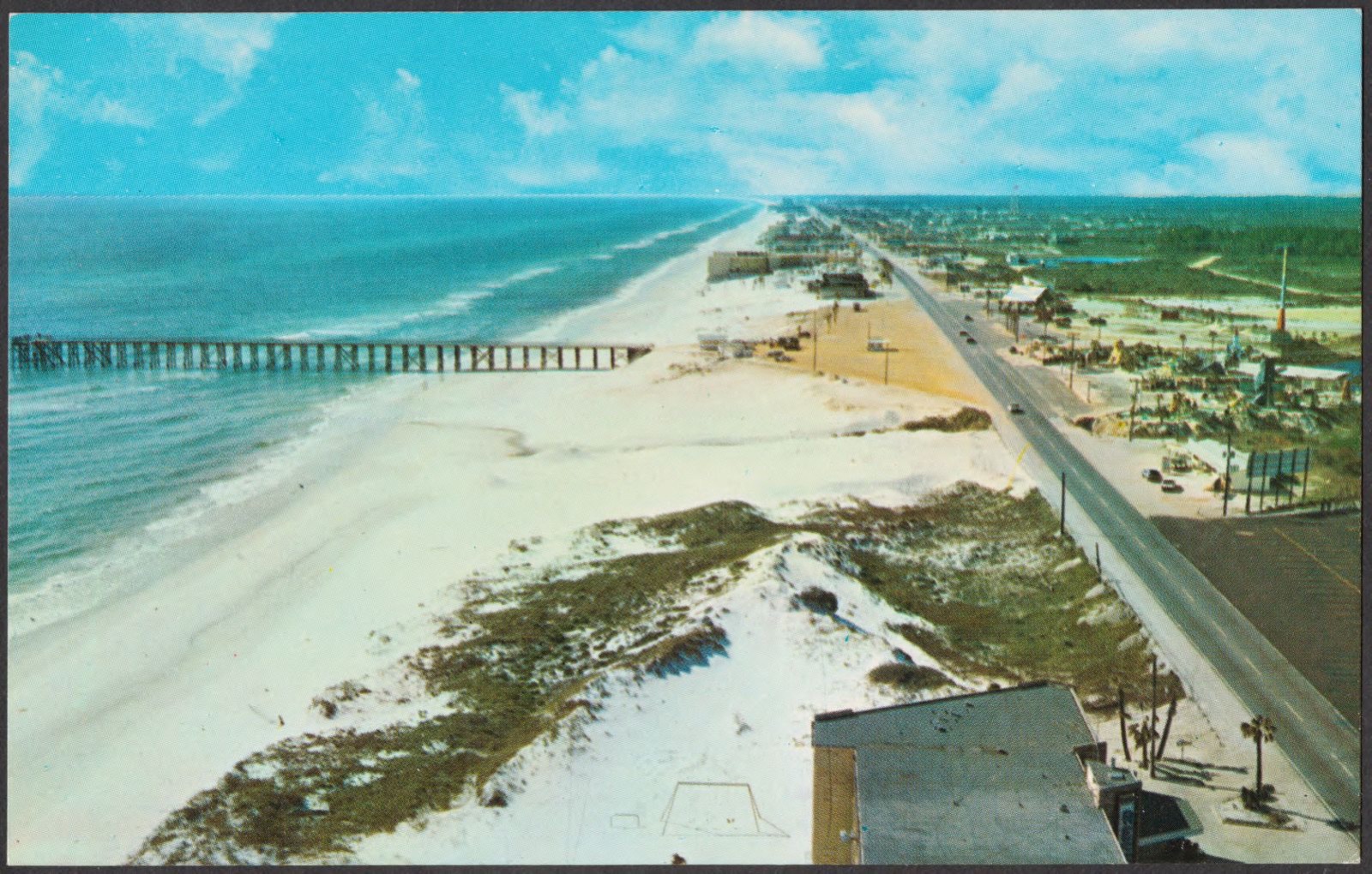
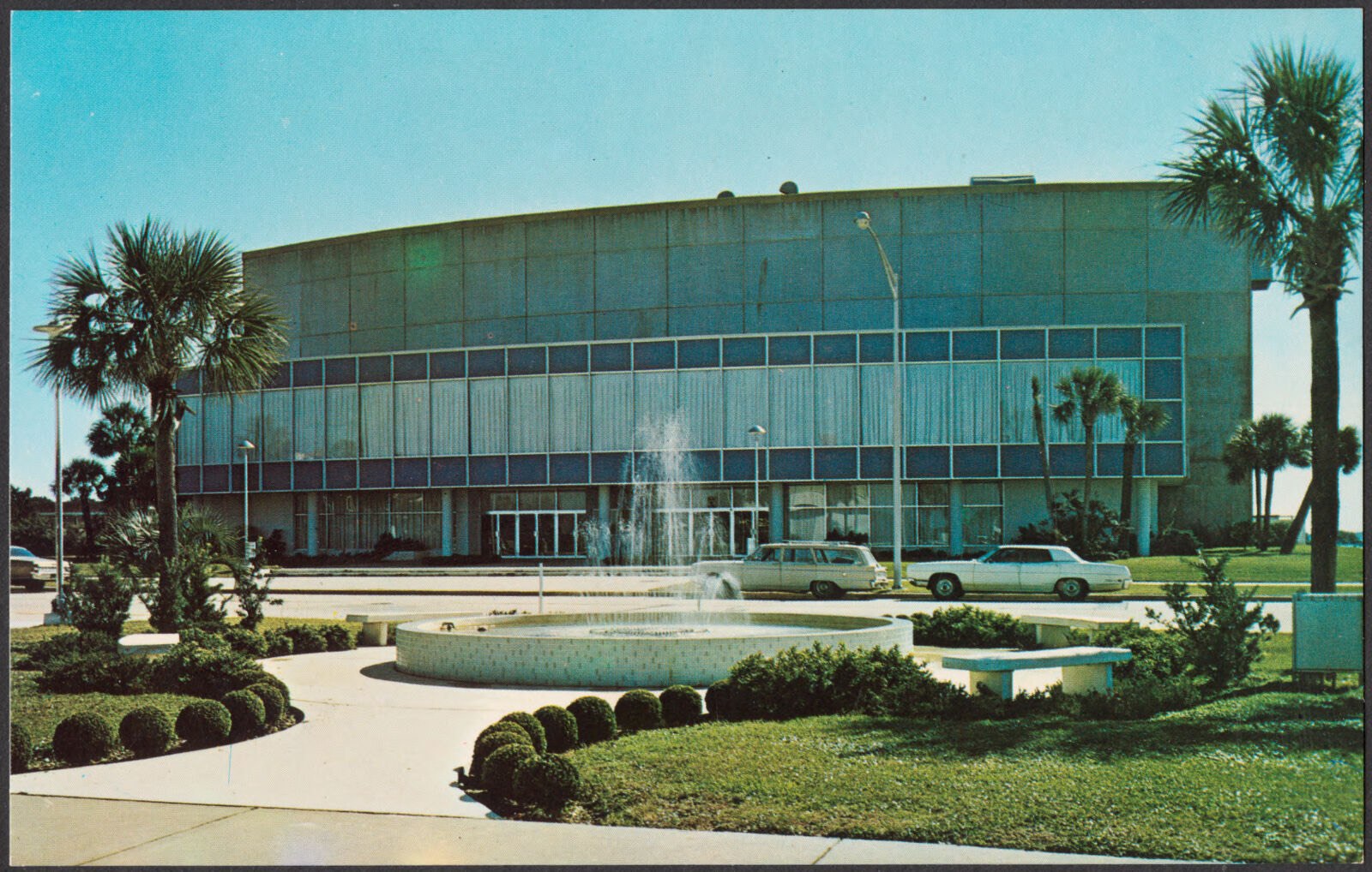
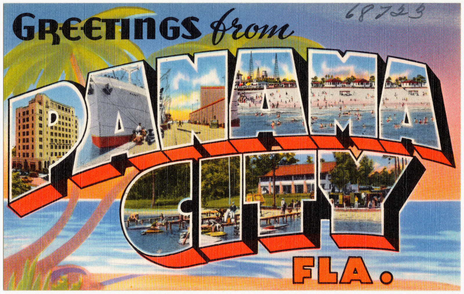
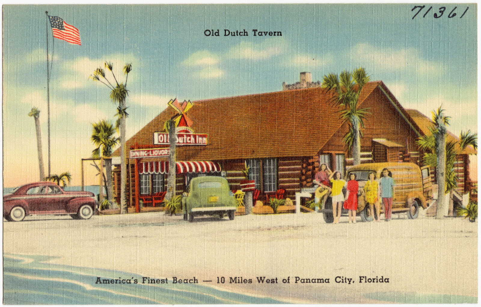
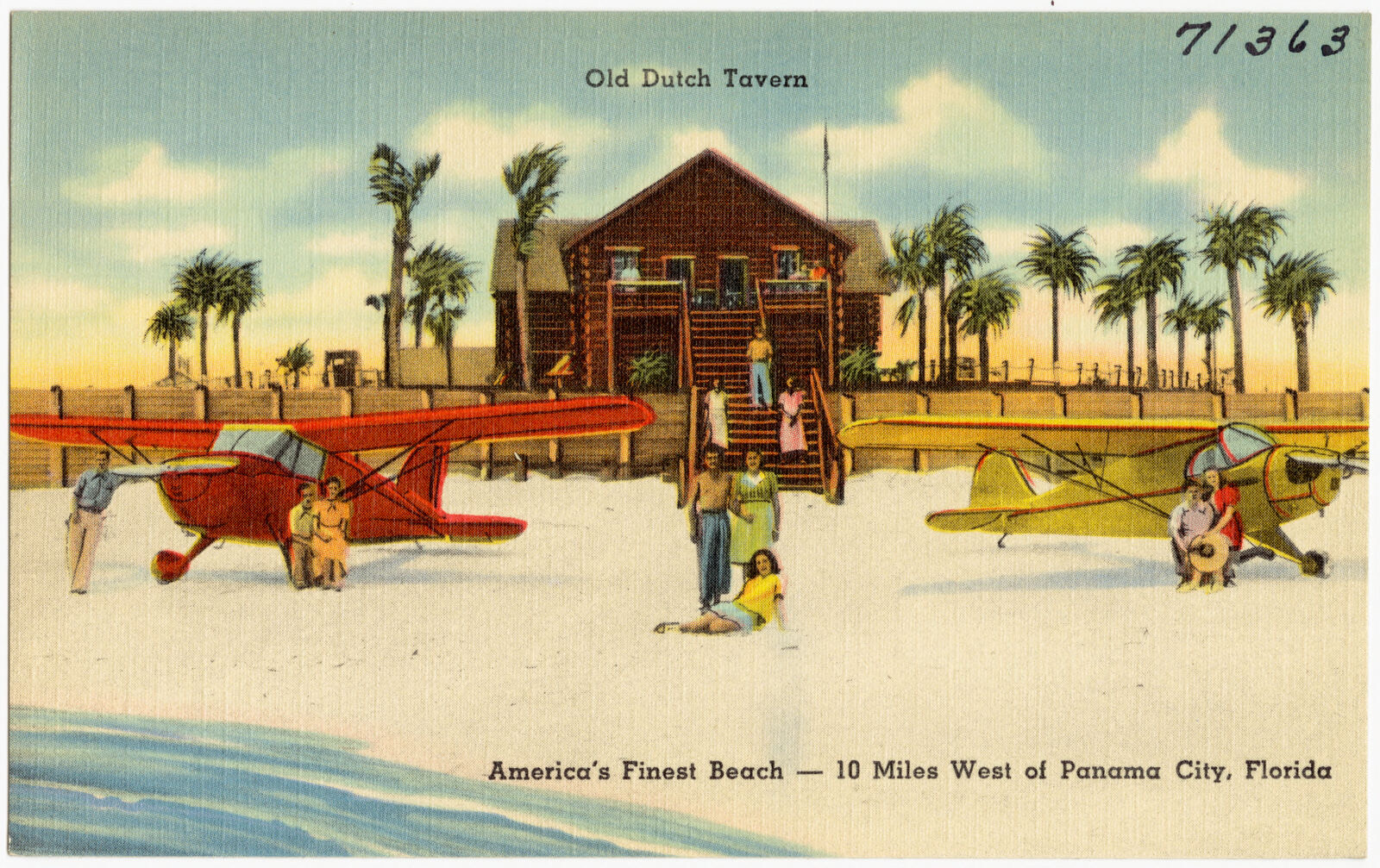
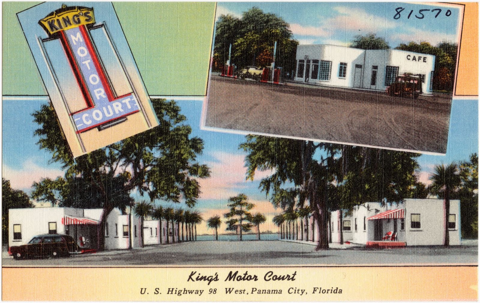
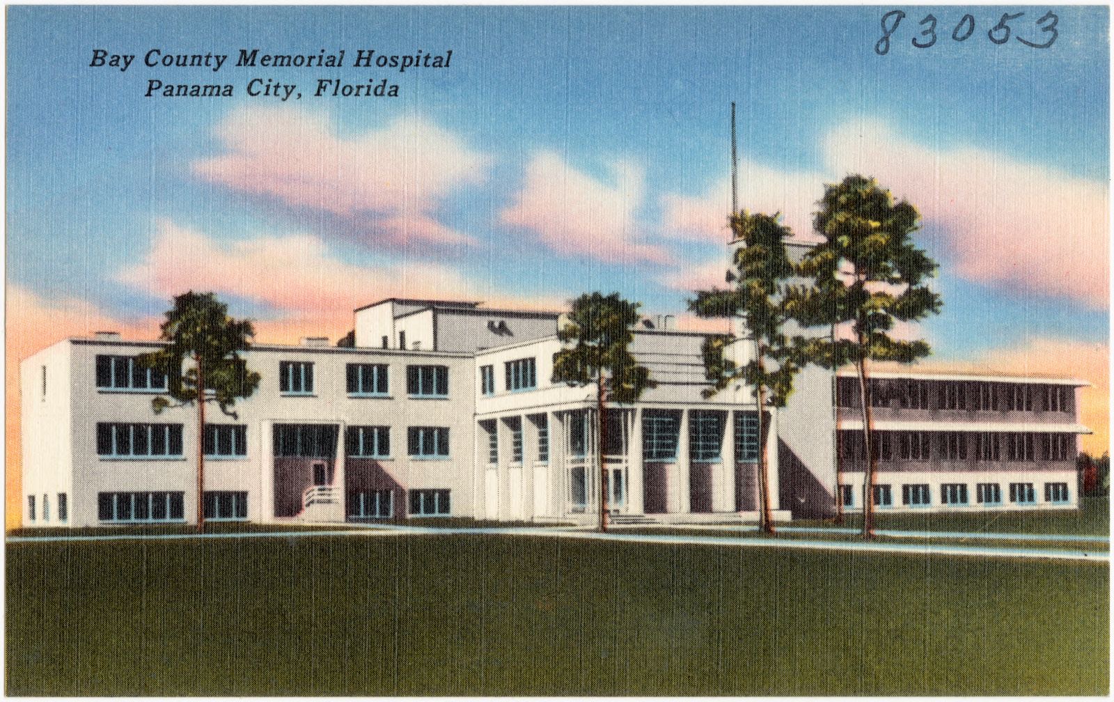
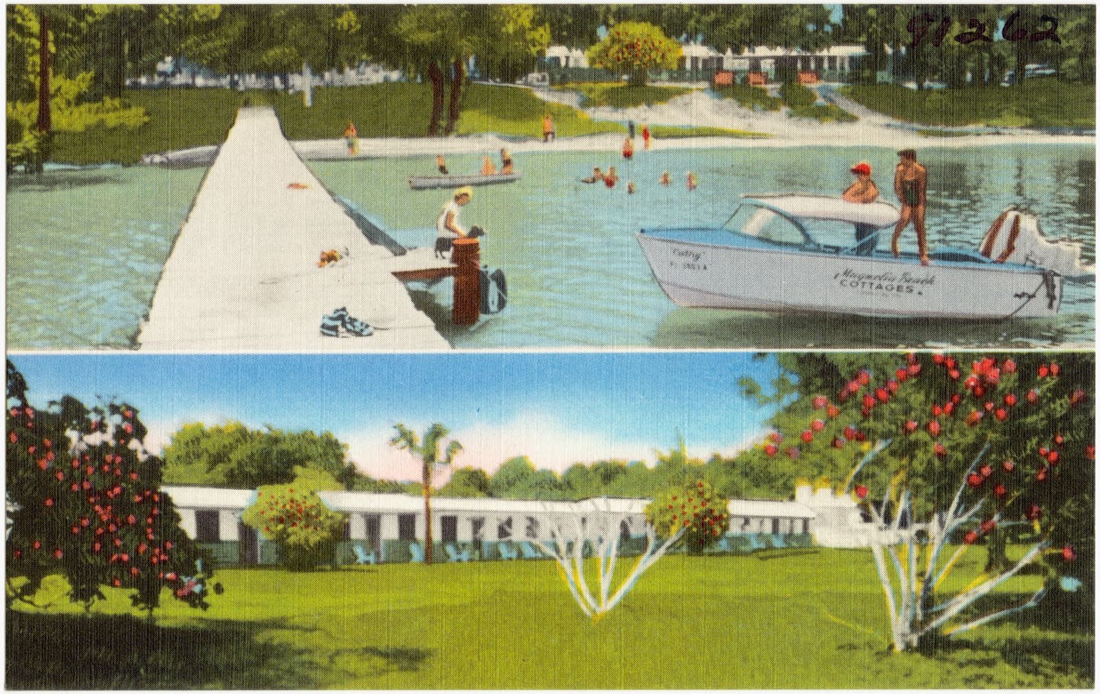
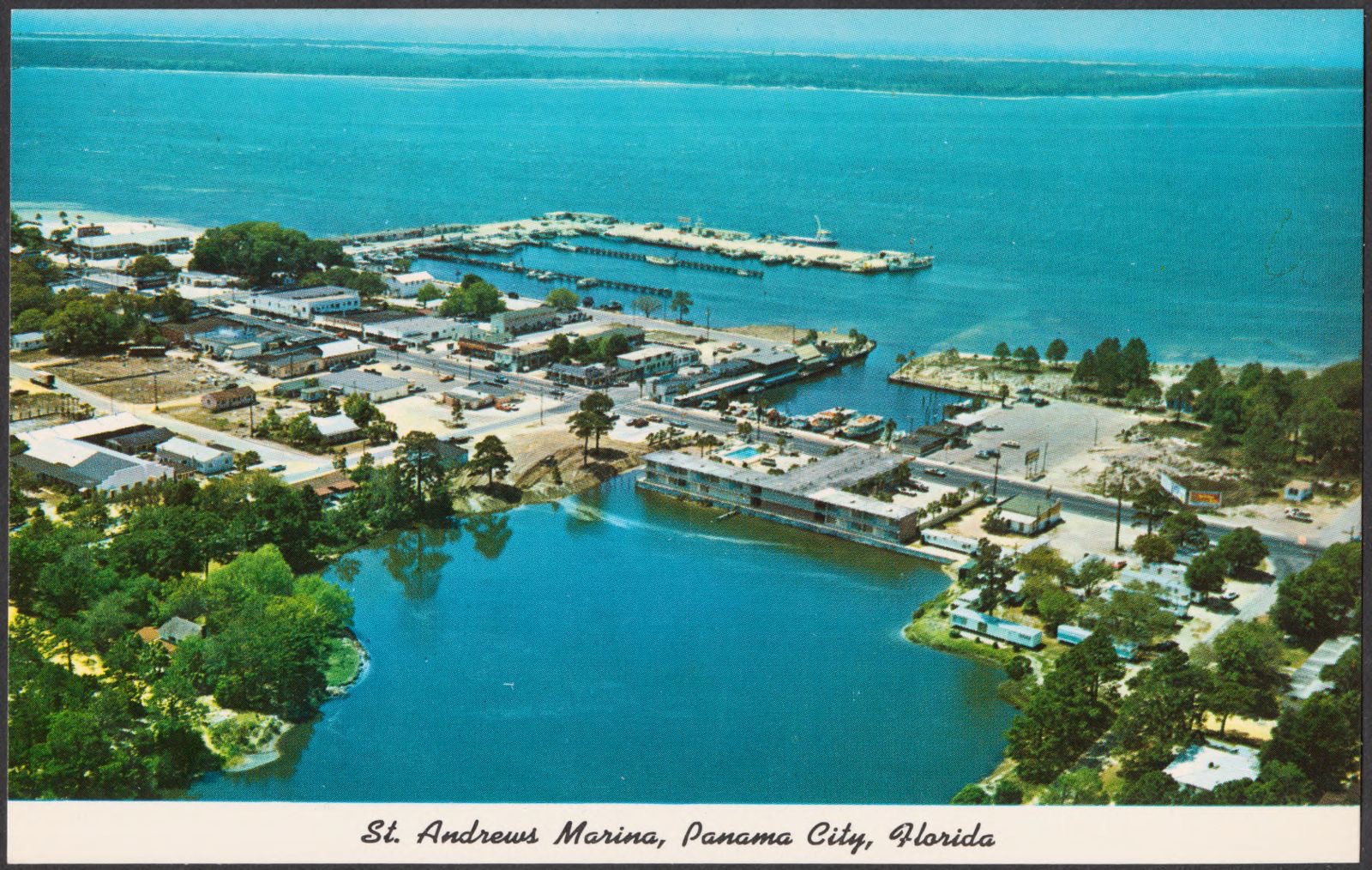
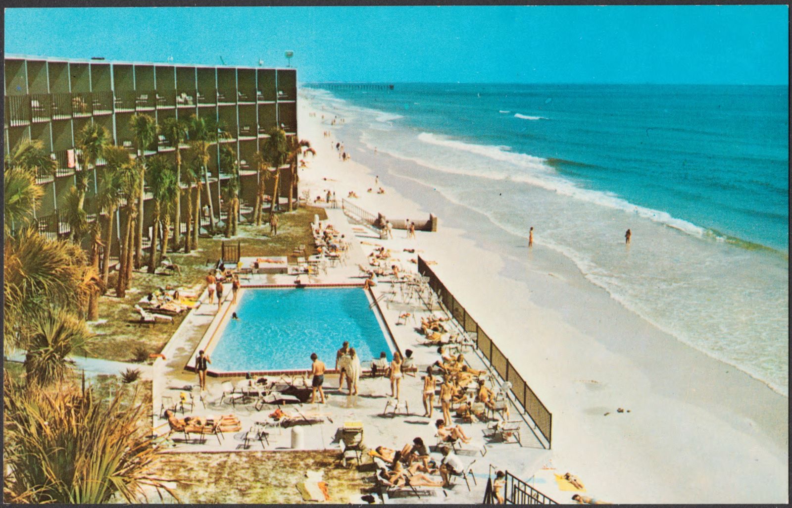
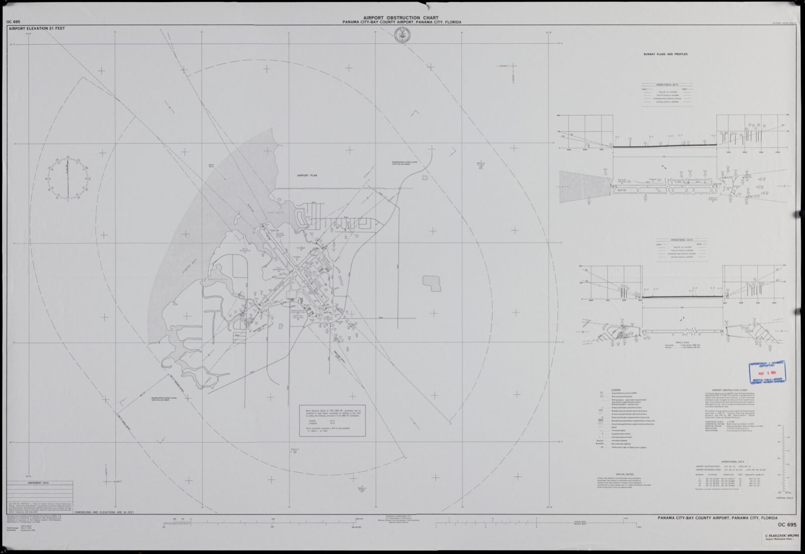
Selected from the Digital Public Library of America's 49 image records catalogued for this county. Every one shown here carries a public-domain status or a licence that permits reuse on a site that carries advertising; non-commercial, share-alike and restricted images are excluded. The selection is spread across the county's towns (at most eight per town), so no single institution's bulk upload crowds out the rest. Each opens the holding library's record, and the complete set at the Digital Public Library of America is one click away.

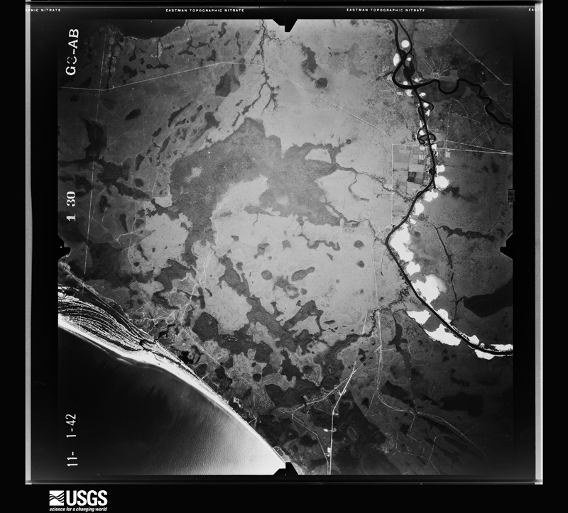
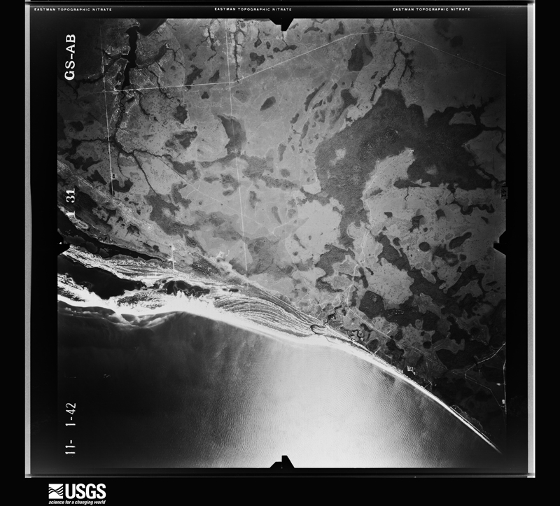
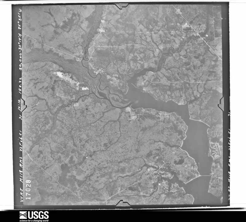
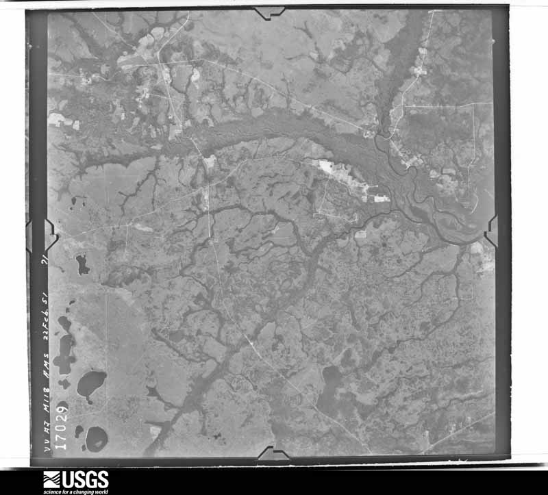
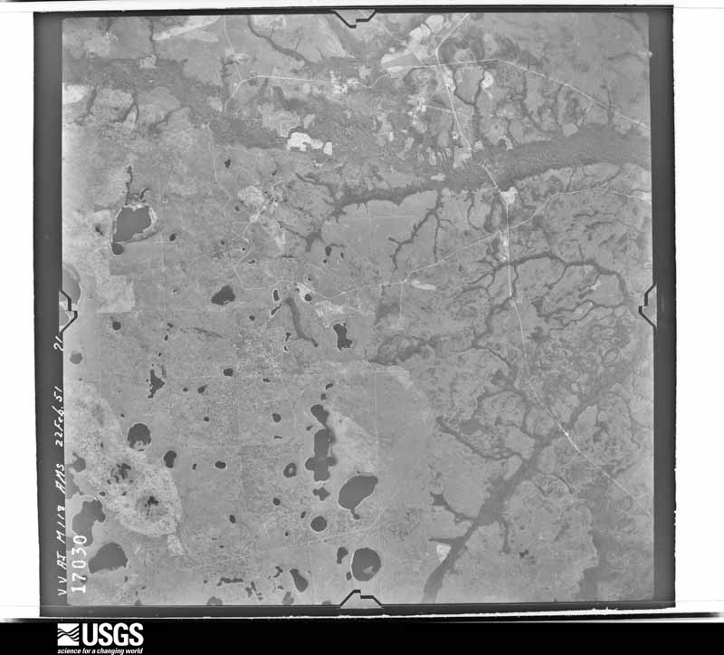
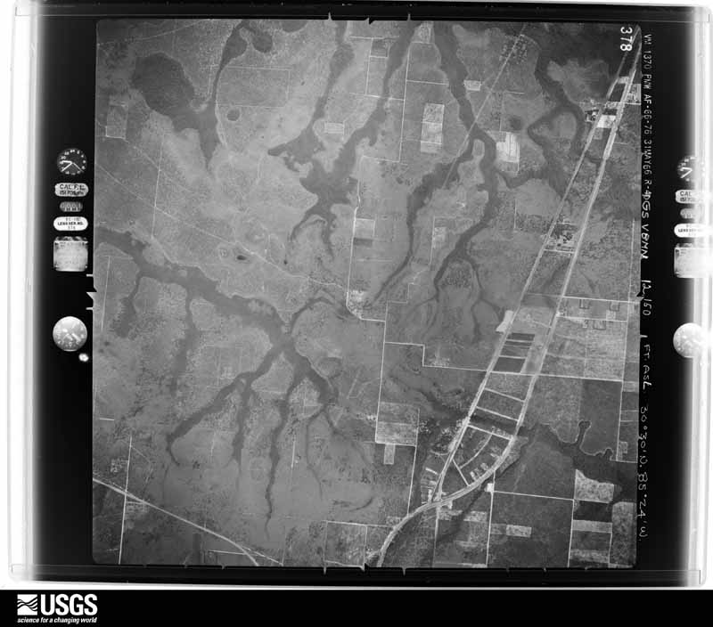
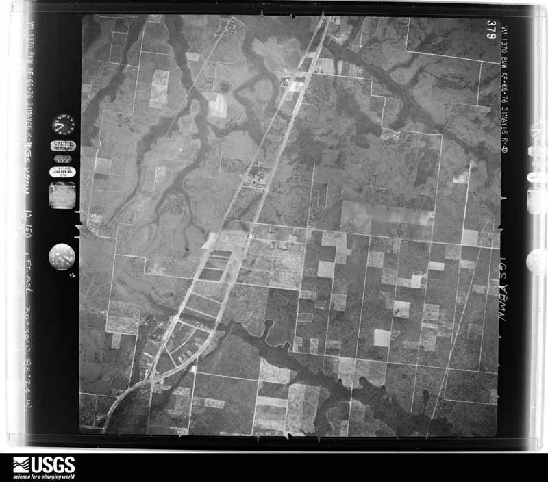
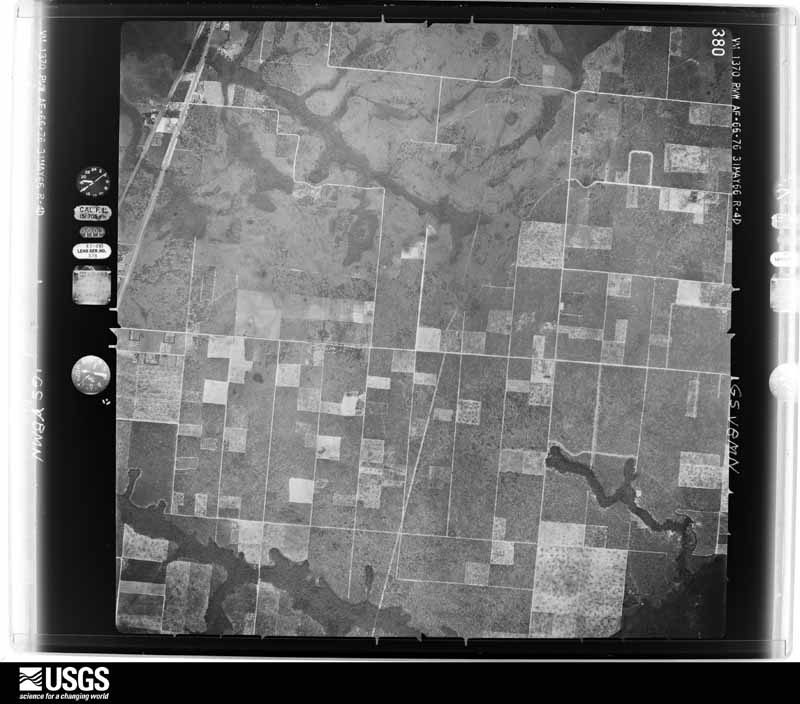
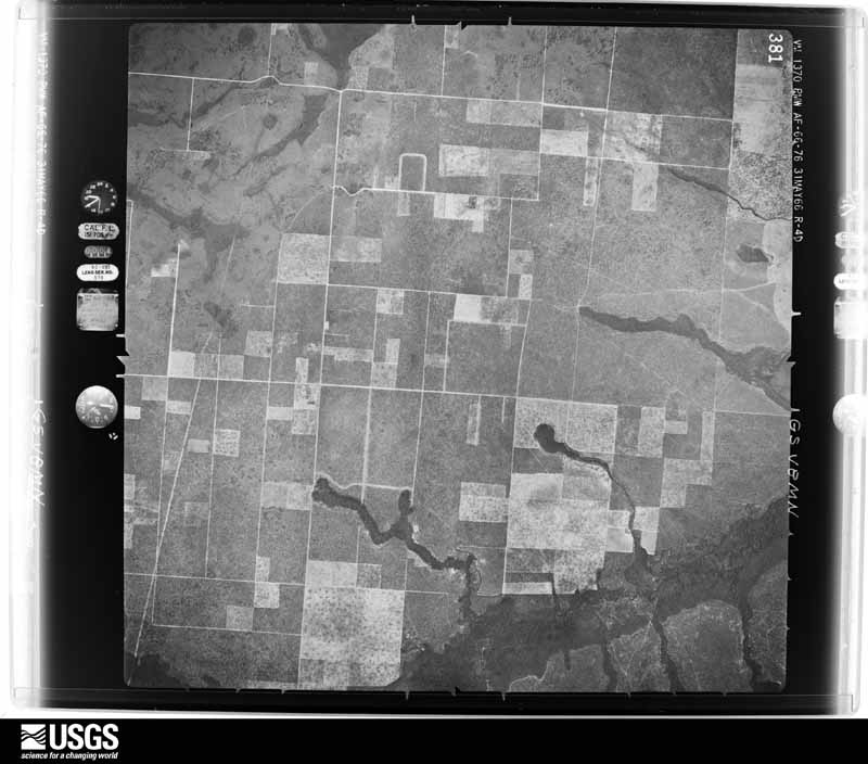
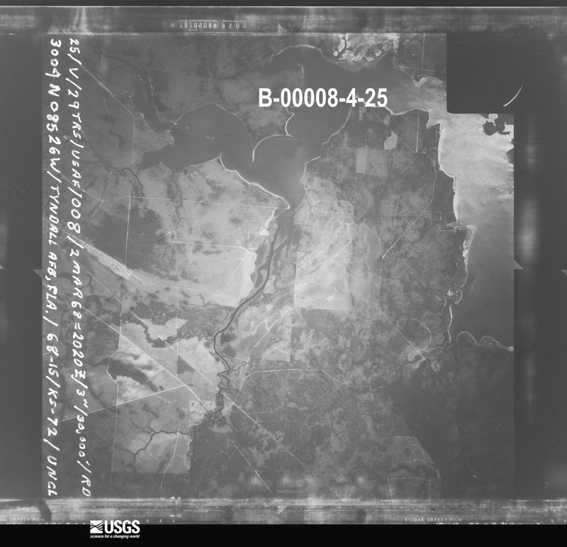
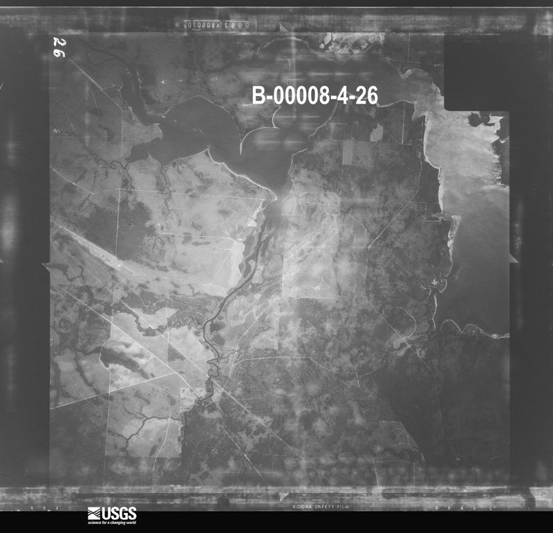
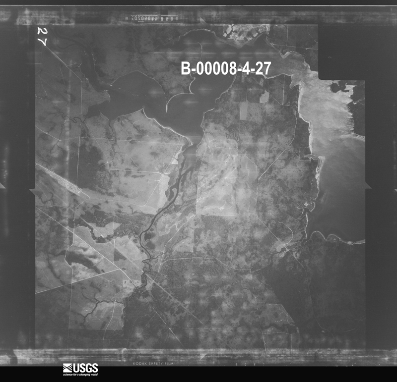
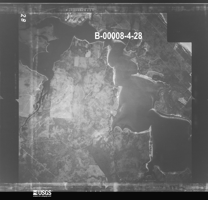
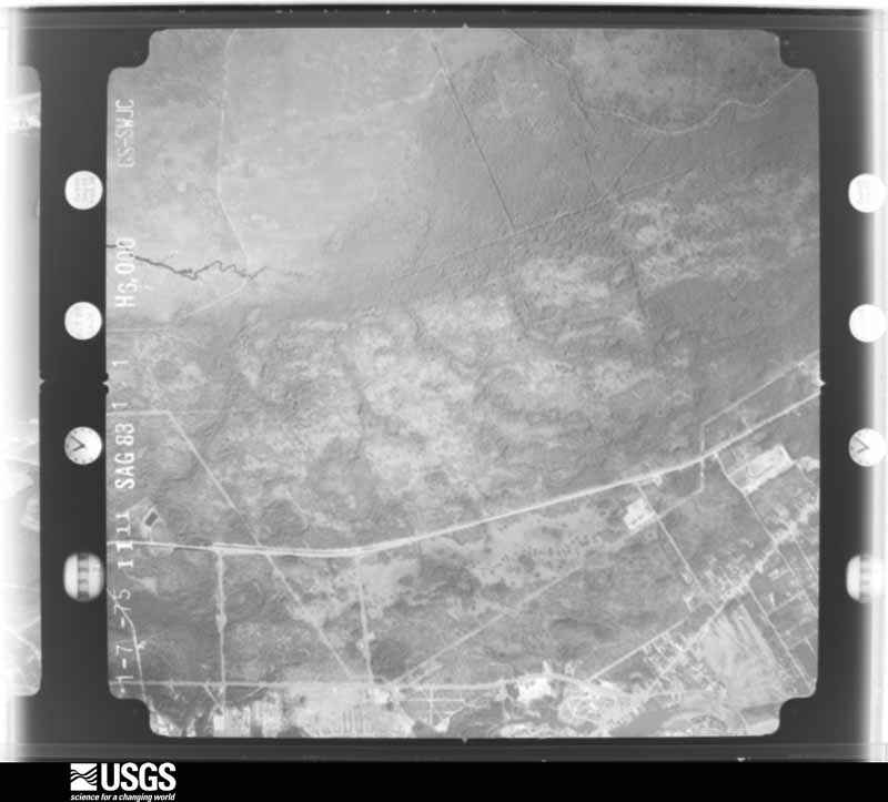
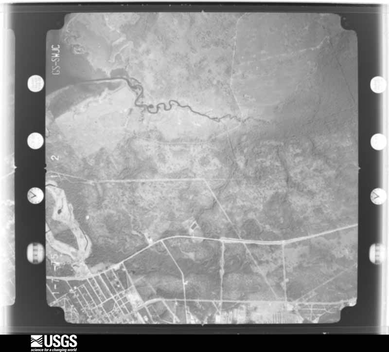
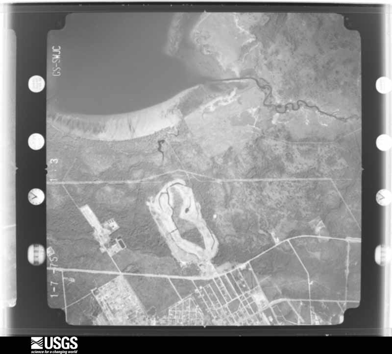
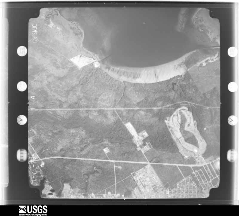
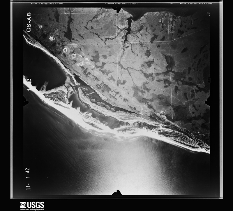
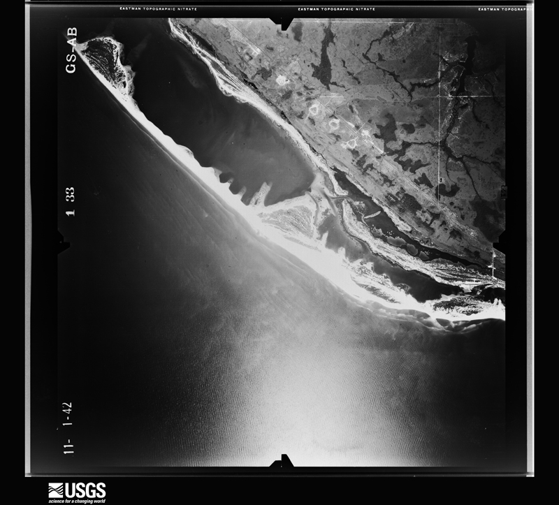
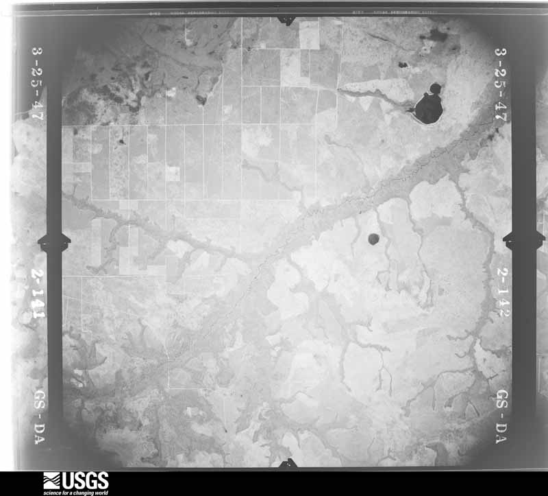
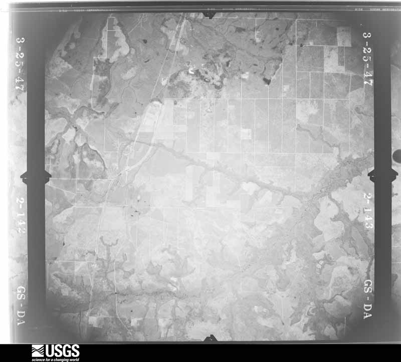
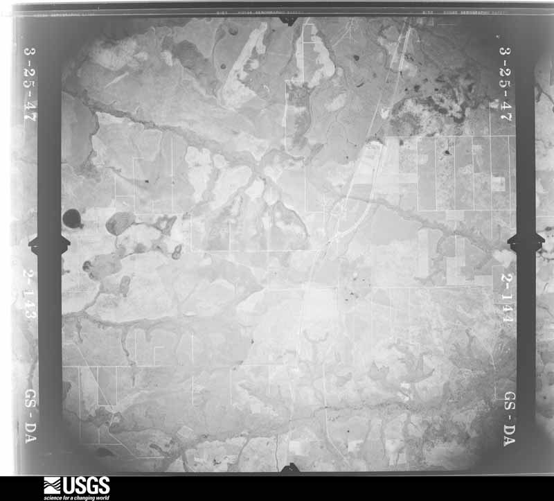
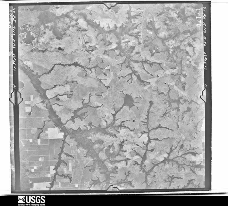
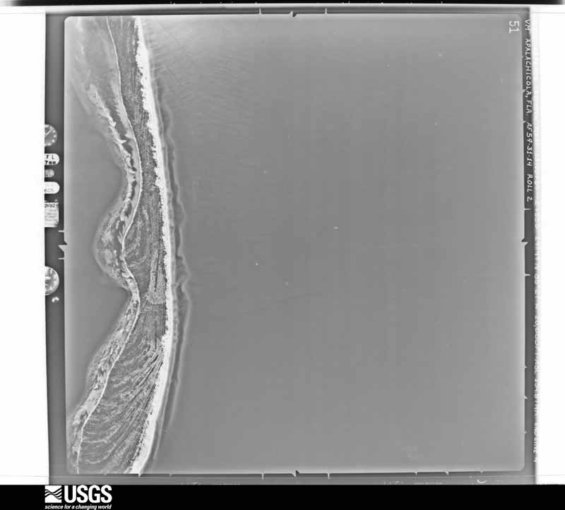
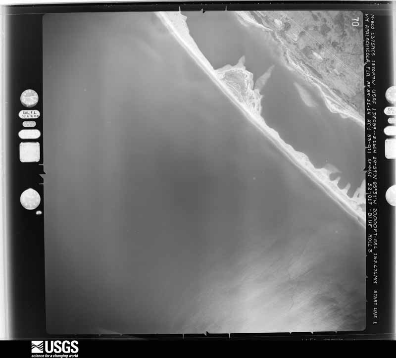
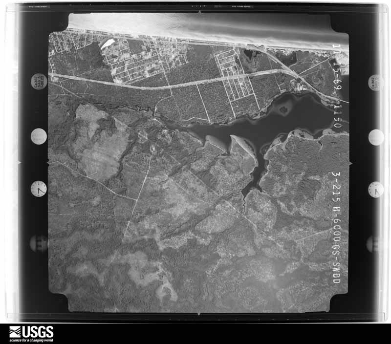
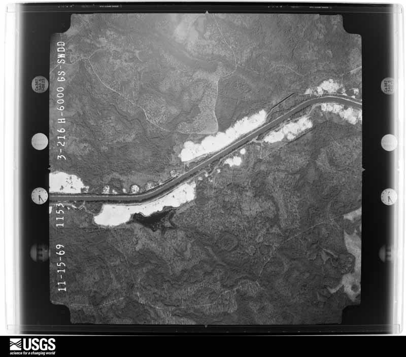
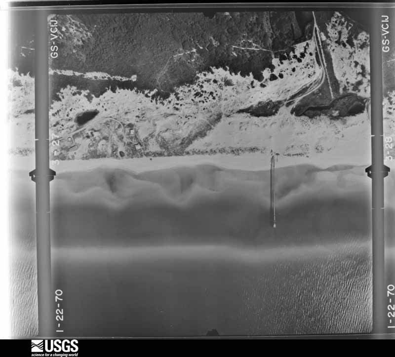
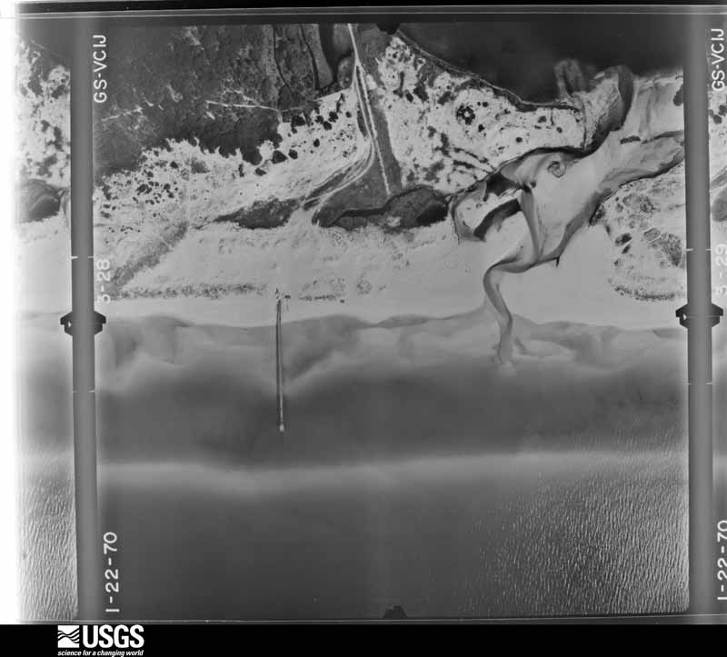
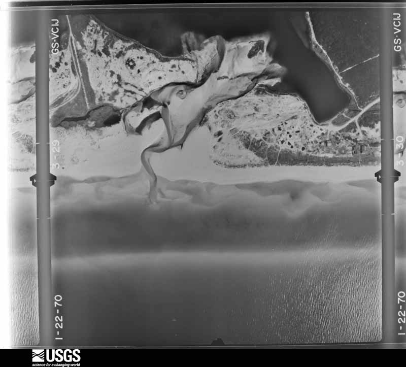
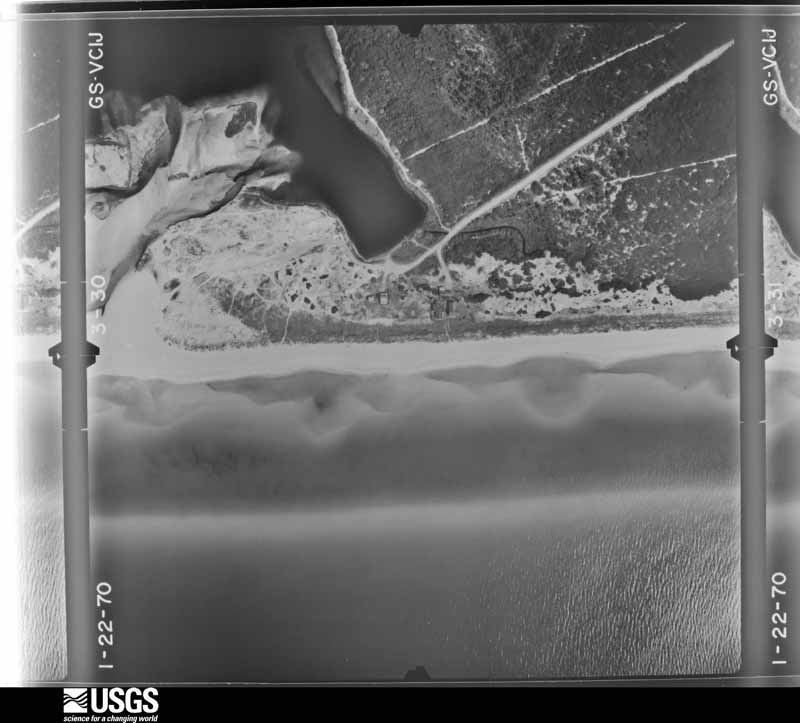
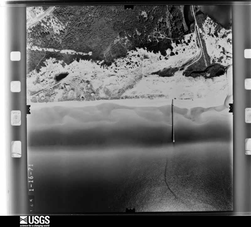
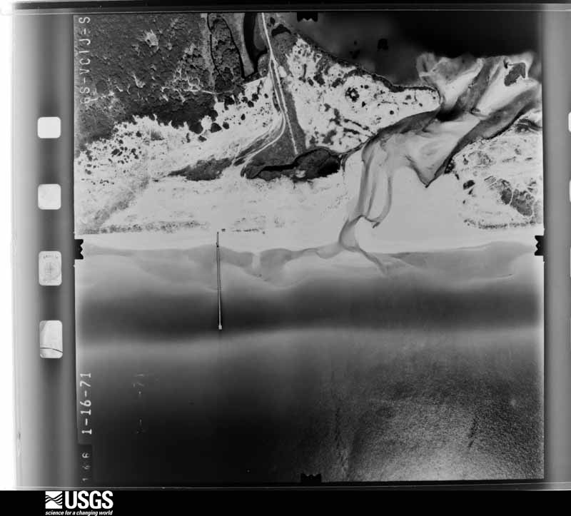
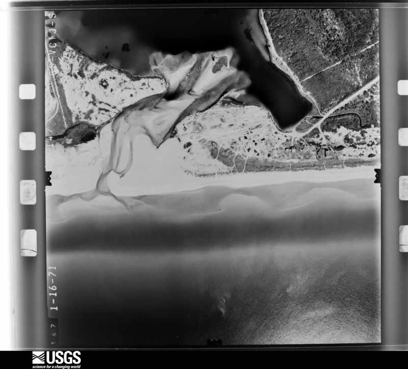
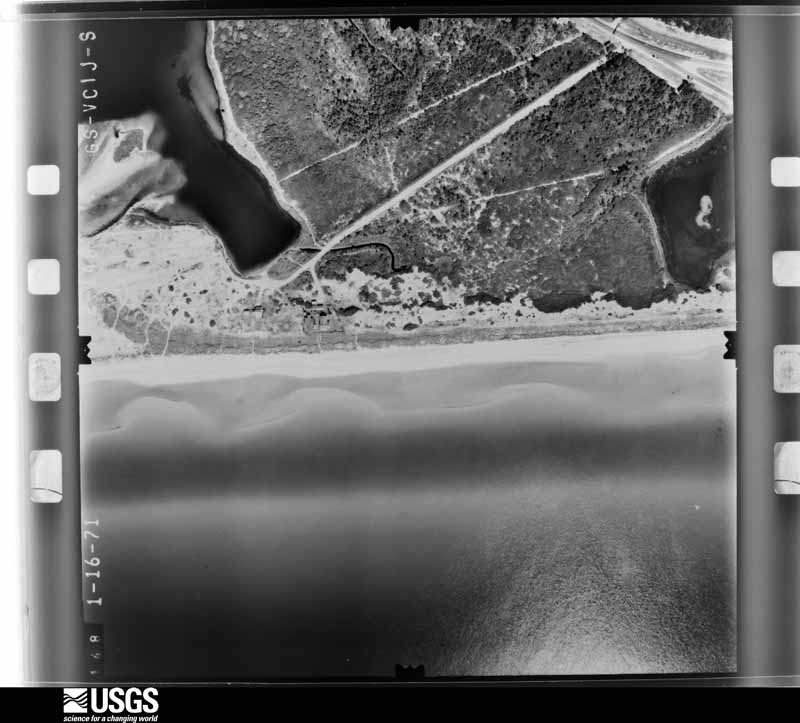
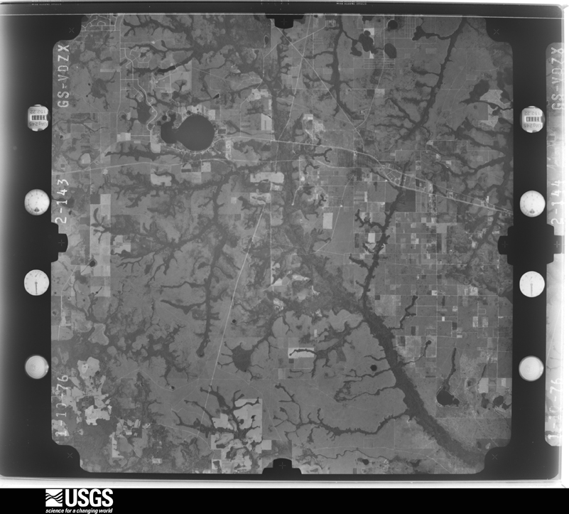
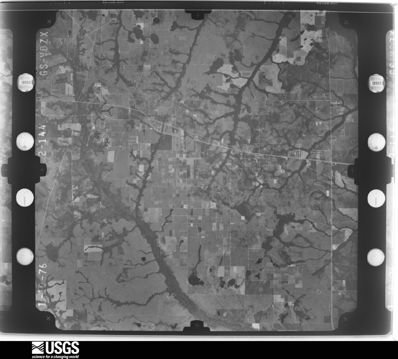
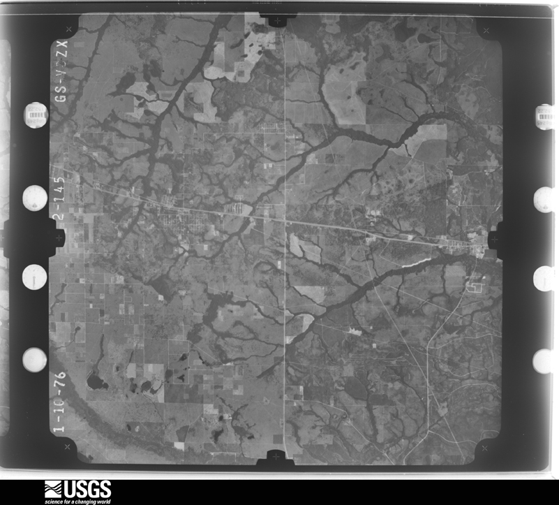
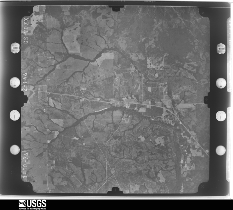
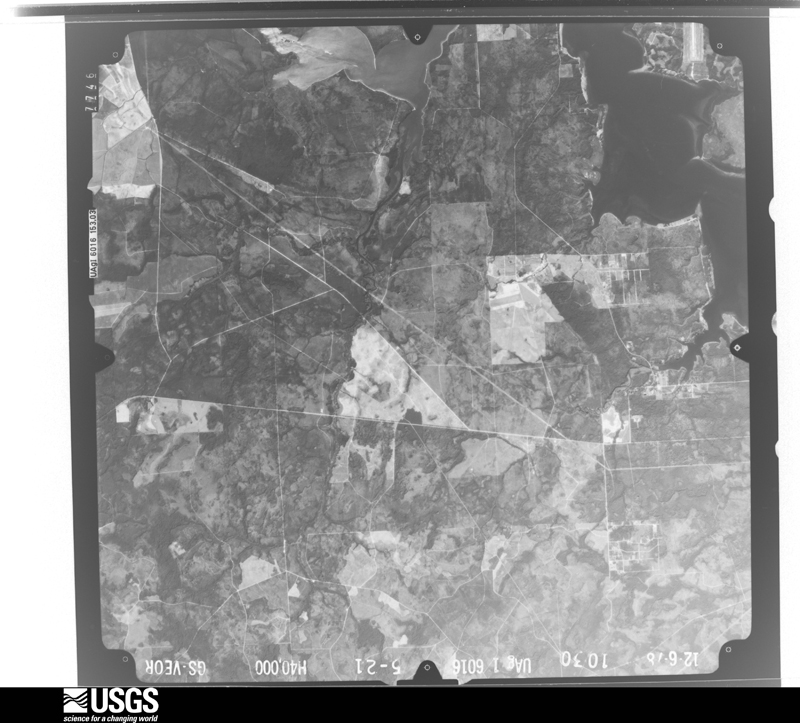
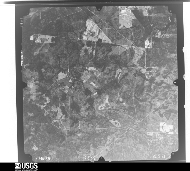
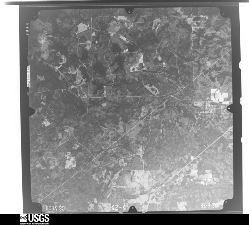
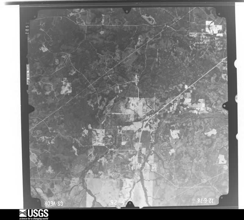
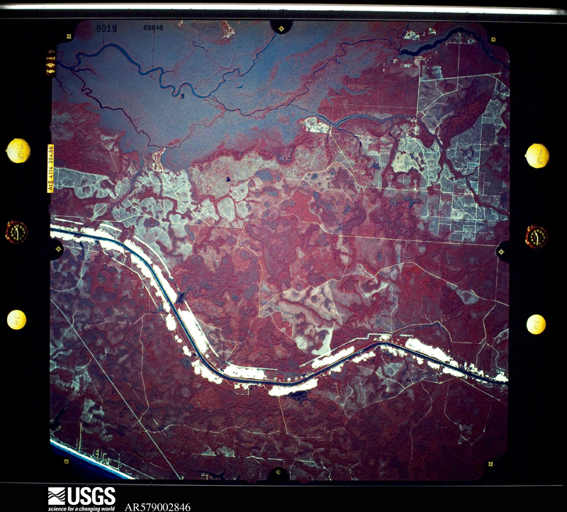
Flown by the U.S. Geological Survey between 1937 and 1989, the Aerial Photo Single Frames collection is the definitive mid-century view of the land: fields, roads and rivers as the camera saw them. The Survey holds 1,885 frames inside the rectangle that bounds this county; the 48 frames below were taken over the county itself, chosen across the decades of flights (at most four a year from that rectangle), so one flight cannot crowd out the rest. The full set is free to browse and download at EarthExplorer under the dataset Aerial Photo Single Frames.
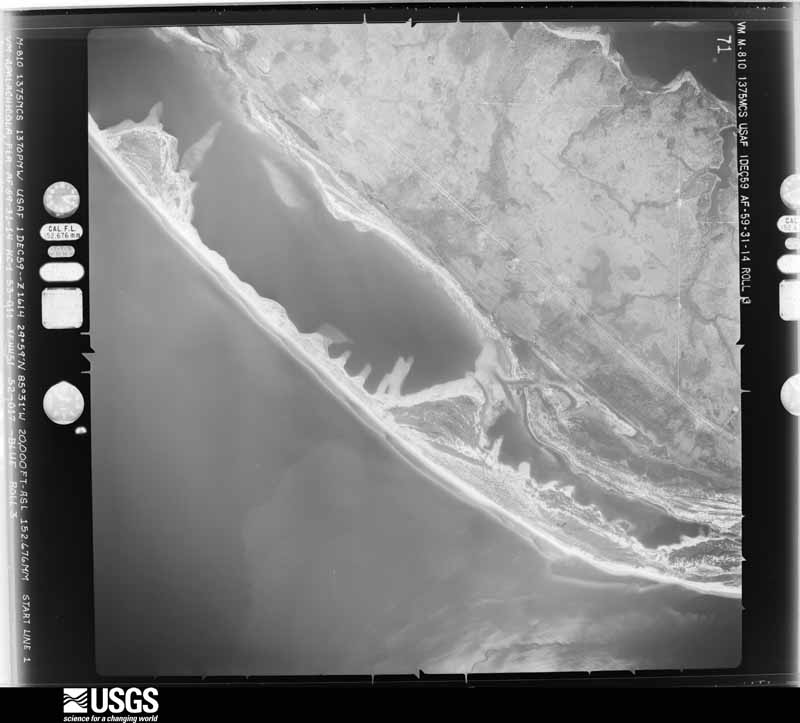
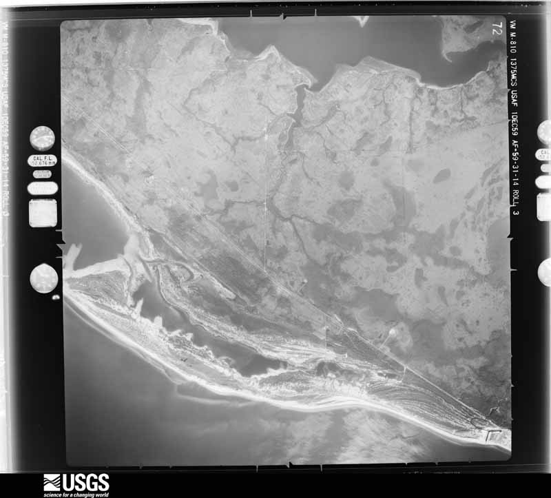
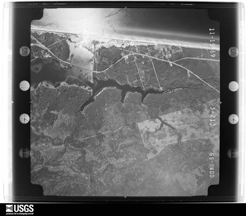
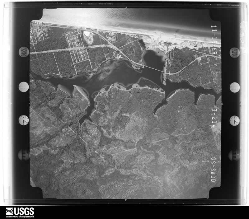
The thermometers that kept this county's weather, and the gages that measured the flow of its streams, as the federal records hold them. The extremes below are measured values from those records, not estimates.
Who lived here in 1950, one enumeration district at a time, as the Census Bureau described each district. Each row opens its official National Archives result, with Population Schedules and ED Maps available there.
Every wildfire the federal occurrence database records inside this county: 1,814 of them, burning about 26,956 acres. 315 started naturally and 129 were recorded as arson. Each settlement page carries the fires within five miles of it.
| Reported cause | Fires |
|---|---|
| Debris and open burning | 322 |
| Natural | 315 |
| Missing data/not specified/undetermined | 284 |
| Railroad operations and maintenance | 241 |
| Misuse of fire by a minor | 191 |
| Equipment and vehicle use | 184 |
| Arson/incendiarism | 129 |
| Smoking | 66 |
| Recreation and ceremony | 42 |
| Power generation/transmission/distribution | 19 |
| Other causes | 15 |
| Fireworks | 6 |
The five largest, by the area the report gives. Two of them were set deliberately.
| Date | Cause | Size | Reported by | Name on the report |
|---|---|---|---|---|
| 5 July 1998 | Natural | 1,000 acres | Florida Forest Service | not named |
| 17 April 2004 | Arson/incendiarism | 869 acres | Florida Forest Service | MCGILL ROAD COMMAND |
| 10 April 2006 | Arson/incendiarism | 814 acres | Florida Forest Service | STEELFIELD COMMAND |
| 1 September 2014 | Natural | 720 acres | Florida Forest Service | LATHROP BAYOU (03) |
| 24 May 2004 | Debris and open burning | 706 acres | Florida Forest Service | CALLAWAY HEIGHTS |
| 19 May 2012 | Debris and open burning | 700 acres | Florida Forest Service | SILVER FLAG RD (03) |
| 30 March 2019 | Debris and open burning | 669 acres | Florida Forest Service | CR 2297 ALLANTON (03) |
| 5 July 2000 | Railroad operations and maintenance | 657 acres | Florida Forest Service | not named |
Every settlement page carries the fires within five miles of it - see the settlement index below.
The NOAA Storm Events Database holds 671 reports for this county, causing 20 deaths, 140 injuries and about $77,681,030 in recorded property damage. Each settlement page carries the reports that name it.
| Kind of event | Reports |
|---|---|
| Thunderstorm Wind | 268 |
| Flash Flood | 149 |
| Tornado | 92 |
| Hail | 68 |
| Flood | 26 |
| Lightning | 23 |
| Funnel Cloud | 12 |
| Rip Current | 10 |
| Wildfire | 8 |
| Heavy Rain | 8 |
| Waterspout | 5 |
| Storm Surge/Tide | 2 |
The most serious of them, by death, then injury, then recorded damage. The accounts are quoted exactly as the forecast office filed them.
| When | Event | Place named | Harm | What the report says |
|---|---|---|---|---|
| August 2012 | Lightning | St Andrews State Park | 2 killed | WJHG-TV reported that two people were struck by lightning on Shell Island near Panama City. A 42 year old father was carrying his 14 year old stepson when the strike occurred. The father was killed on the spot, and the teen later died at a Pensacola hospital. |
| July 2003 | Rip Current | Panama City Beach | 2 killed | Two swimmers drowned in rough surf. A dozen swimmers were rescued. Reported by the Bay County EMA. |
| December 1967 | Tornado (F3) | not stated | 1 killed, 50 hurt, $2,500,000 | no account filed |
| September 2004 | Tornado (F1) | Panama City | 1 killed, 7 hurt, $5,000,000 | A strong F1 tornado touched down near the St Andrews recreation area. It damaged dozens of restaurants, stores and shops as it moved north along Thomas Drive. Seven persons were injured at a seafood restaurant near Grand Lagoon. An elderly man was killed when the tornado destroyed a real estate office. The tornado moved across St Andrews Bay near the Hathaway Bridge and then 100 yards south of the WJHG-TV station before dissipating. Reported by the Bay County EMA and WJHG-TV meteorologist. |
| January 1975 | Tornado (F2) | not stated | 1 killed, 3 hurt, $250,000 | no account filed |
| September 2004 | Tornado (F1) | Allanton | 1 killed, 1 hurt, $500,000 | A wood-frame house was lifted 60 feet off its foundation and thrown into a field. Of the seven family members inside, one was killed and another injured. Several other homes were damaged. Reported by a HAM radio operator. |
| August 1999 | Lightning | Panama City Beach | 1 killed, 1 hurt | A Georgia man and his teenage daughter were struck by lightning while walking along the beach behind the Sugar Sands Motel on Front Beach Rd. The man died from the strike. The girl was treated by EMS personnel and released. |
| June 2007 | Lightning | Lynn Haven | 1 killed | A woman was struck and killed by lightning as she stood outside her home. |
| July 2005 | Rip Current | Panama City Beach | 1 killed | An 18-year-old male drowned in heavy surf. Reported by the Orlando Sentinel. |
| July 2005 | Rip Current | Panama City Beach | 1 killed | A 13-year-old female was dragged 600 yards into the Gulf of Mexico and drowned. Reported by the Orlando Sentinel. |
| May 2004 | Rip Current | Panama City Beach | 1 killed | Rip currents claimed the life of a 26-year-old man at Panama City Beach. Reported by the Tallahassee Democrat. |
| June 2004 | Rip Current | Panama City Beach | 1 killed | Rip currents claimed the life of a teenage tourist just east of Panama City Beach. Two swimmers were rescued. Reported by the Tallahassee Democrat. |
| May 2002 | Rip Current | Panama City Beach | 1 killed | A man drowned after he was caught in a severe rip current. Reported by the Bay County EMA. |
| May 2002 | Rip Current | Panama City Beach | 1 killed | A man drowned after he was caught in a severe rip current. Reported by the Bay County EMA. |
| June 2002 | Rip Current | Panama City Beach | 1 killed | A man drowned while attempting to escape a severe rip current. Reported by the Bay County EMA. |
| July 2002 | Rip Current | Panama City Beach | 1 killed | A man drowned while attempting to escape a severe rip current. Reported by the Bay County EMA. |
| September 2002 | Rip Current | Panama City Beach | 1 killed | A man drowned from a severe rip current caused by Tropical Storm Hanna. Reported by the Bay County EMA. |
| September 1996 | Lightning | Panama City | 1 killed | no account filed |
| November 1953 | Tornado (F2) | not stated | 22 hurt, $25,000 | no account filed |
| October 2025 | Tornado (EF1) | Mexico Beach | 10 hurt, $500,000 | A tornadic waterspout moved onshore into Mexico Beach at approximately 6:30 am CDT, causing roof and siding damage to a couple of homes along the beach. The roof of the El Governor hotel was lifted and tossed across U.S. 98 into an RV park, where several RV's were damaged or rolled over. A number of minor injuries were reported at the RV park. The tornado continued eastward, moving inland across several neighborhoods. Roof damage, the most significant of which involved the peeling of metal roofing, was noted at several locations. Otherwise, the damage was scattered and mostly minor. The tornado dissipated before reaching Highway 386. The damage was consistent was an EF1 tornado with maximum winds of approximately 100 mph. |
| January 1999 | Tornado (F2) | Panama City Beach | 7 hurt, $4,000,000 | A tornado initially struck at Panama City Beach damaging several homes and a few hotels within a four-block area surrounded by Sunset Ave-Thomas and Holiday Dr. The tornado again touched down two miles to the north at the Hathaway Bridge (U.S. Highway 98) where a six-car pileup injured seven. Finally, the tornado lifted over St. Andrews Bay and descended about a mile further north into a residential area surrounded by Big Daddy-Marina Dr. and Bay Circle where numerous homes and businesses were damaged. Scattered power outages affected several thousand customers in West Panama City and Panama City Beach. |
| April 1973 | Tornado (F1) | not stated | 6 hurt, $2,500,000 | no account filed |
| May 1980 | Tornado (F1) | not stated | 6 hurt, $25,000 | no account filed |
| February 1952 | Tornado (F2) | not stated | 4 hurt, $25,000 | no account filed |
| April 1954 | Tornado (F2) | not stated | 3 hurt, $25,000 | no account filed |
| July 2000 | Lightning | Panama City Beach | 3 hurt | Three people were struck by lightning while walking on the beach. All were transported to the Gulf Coast Medical Center and released. Reported by the Panama City News Herald. |
| January 2024 | Tornado (EF2) | Lynn Haven | 2 hurt, $5,000,000 | The same supercell that spawned the Grand Lagoon tornado dropped another in Lynn Haven where some trees were snapped and one home had some minor roof damage. The tornado then traveled northeast across the eastern portion of North Bay before causing damage in the Resota Beach area on the west shore of Deer Point Lake, destroying one double-wide manufactured home and significantly damaging another. The most significant damage in this area was to a single family home on Joanna Lane where large sections of the roof were removed and the garage was destroyed. This was consistent with EF-2 damage. After crossing Deer Point Lake, the tornado tracked through the Bay Head neighborhood where it caused the most extensive damage. One manufactured home on Magnolia Avenue was ripped from its moorings and tossed against the tree line at the back of the property. Fortunately, the two people inside suffered only minor injuries. A single family home at the intersection of Magnolia and Seminole St. had a large portion of its roof removed. Similar damage occurred to a home on Palm Avenue where substantial tree damage also occurred. Four homes in the vicinity of Cherokee St. and Deerwood Avenue sustained similar damage. A brick home on Sunshine Drive not only had about half of its roof removed, but also saw collapse of walls on one corner of the house. All of these homes mentioned thus far in Bay Head suffered EF-2 damage, but this last one was the most severely damaged with winds estimated at 130 mph. As the tornado continued northeast, additional roof damage to homes occurred on Indian Bluff Drive, Indian Bluff Road, Piza Circle, and Miller Circle. On CR 2301 near Vickery Lane, one mobile home was shifted off its support blocks with a third of the structure destroyed. Damage northeast of this point became more sporadic and mainly to trees. The tornado appeared to lift as it crossed Mocassin Creek. |
| October 1997 | Tornado (F1) | Calloway | 2 hurt, $35,000 | F1 tornado touched down on Florida Highway 22. A bread truck was lifted 15-20 feet into the air and thrown 100 feet into wooded area (driver seriously injured). A semitractor fuel tanker was overturned (driver sutained minor injuries). |
| July 1999 | Lightning | Panama City | 2 hurt | Two men working at Coastal Systems Station were slightly injured when a nearby lightning strike knocked them to the ground. |
| October 1997 | Tornado (F1) | Panama City Beach | 1 hurt, $350,000 | Waterspout moved ashore. Extensive roof damage to beach front hotel, sewage treatment plant, middle school and convenient store. One minor injury sustained from flying debris. |
| March 1985 | Tornado (F1) | not stated | 1 hurt, $250,000 | no account filed |
| June 1980 | Tornado (F1) | not stated | 1 hurt, $250,000 | no account filed |
| September 1998 | Tornado (F1) | Westbay | 1 hurt, $125,000 | An F1 tornado touched down in West Bay. The tornado damaged the West Bay Holiness Community Church off CR 388. The church's roof was lifted off and its steeple toppled. The tornado skipped northward across FL 79 and Vinson Rd, north of the Woodville subdivision where several large trees were uprooted. A woman was injured by flying glass when the tornado demolished the roof of her home and blew in a window and glass door. |
| May 1974 | Tornado (F1) | not stated | 1 hurt, $2,500 | no account filed |
| April 1952 | Tornado (F1) | not stated | 1 hurt, $2,500 | no account filed |
| April 2023 | Lightning | (Pfn)Panama City Arpt | 1 hurt | A man was struck by lightning in the Panama City area. |
| June 2018 | Lightning | Lynn Haven | 1 hurt | The media reported that one person was struck by lightning while mowing grass along Inverness Road shortly before 8 am CDT. The person was taken to the hospital. |
| July 2007 | Lightning | Panama City Beach | 1 hurt | Lightning struck from a sudden thunderstorm near a teenage girl. The girl was shocked and overcome by the bolt. She was rushed to a local hospital and was reported in good condition. |
| July 2004 | Lightning | Panama City Beach | 1 hurt | A 29-year-old woman suffered minor burns when lightning struck the water on the west end of Panama City Beach. |
| December 1983 | Thunderstorm Wind | not stated | 1 hurt | no account filed |
| January 2024 | Tornado (EF3) | Biltmore Beach | $15,350,000 | A tornado moved onshore Panama City Beach in the Lower Grand Lagoon area along Spyglass Drive. Significant damage occurred to several homes, including the complete destruction of one beachfront home. The damage at this location was determined to|support an EF-3 rating with max winds estimated at 140 mph. Significant damage to homes and businesses continued as the tornado moved northeast across and along Thomas Drive where two apartment building were heavily damaged. EF-3 damage was again noted at a large boat storage facility which suffered significant structural failure. The tornado continued northeastward across Grand Lagoon and through the Bay Point Golf Club, causing additional damage to homes, before crossing Saint Andrew Bay. The damage in Panama City, after crossing the bay was more sporadic and less intense, supportive of EF-1 intensity. The tornado appears to have dissipated shortly after crossing West 23rd Street. Thanks to Bay County Emergency Management for assistance with the damage survey. |
| May 2014 | Flood | Hollywood Beach | $5,000,000 | Heavy rain from the previous week breached the levee in the Intracoastal Waterway at the Bay-Walton county line, shutting down barge traffic. This resulted in a local gas shortage for Panama City as none of the barges could deliver gasoline to the local market. The Army Corps of Engineers estimated that a permanent fix will cost up to $5 million. |
| May 2006 | Thunderstorm Wind | Countywide | $5,000,000 | Numerous trees and minor structural damage was observed in the neighborhoods surround the emergency operations center. In Panama City, a couple of stores had some plate glass windows blown out. Also, a billboard and auto parts store were heavily damaged. At the marina, metal awnings covering the docks were damaged. About 10 slips had their coverings peeled off and removed. Along U.S. Highway Business 98 between Springfield and Parker, a gas station canopy was blown over. In Parker, numerous trees were toppled in neighborhoods, with some falling on houses causing major structural damage to roofs. Damage survey conducted by an NWS employee with assistance from the Bay County EMA and Panama City-Bay County Fire Department. |
| September 2002 | Storm Surge/Tide | Southwest Portion | $4,000,000 | Storm surge heights of five feet combined with large battering waves caused severe beach erosion. An estimated 500,000 cubic yards of sand was lost. Water was above the boardwalk at many locations. Reported by the Bay County EMA. |
| May 1999 | Flash Flood | South Portion | $4,000,000 | Up to a foot of rain in a four-hour period fell over much of southern Bay County according to Bay County EMA. Numerous streets were flooded in Parker, Springfield, Callaway and downtown Panama City. Eight inches of water accumulated on Beach Dr. and 11th St. in Panama City flooding several businesses. A total of 155 single-family residences and two businesses sustained major flood damage with losses in excess of $1 million. Some homes were impacted by flood waters over three feet deep. |
| May 2006 | Thunderstorm Wind | (Pfn)Panama City Arp | $2,500,000 | A peak wind gust of 70 mph was recorded at the Panama City-Bay County Airport. Several small planes suffered major damage. Some of these planes were torn from their tie downs and tossed into hangars and each other. One plane was flipped over. One hangar door was removed and lofted into the air and traveled about 100 yards. A Canadair regional jet was moved 15 feet back from a jetway at the terminal. Damage survey reported by an NWS employee. |
| January 1983 | Tornado (F1) | not stated | $2,500,000 | no account filed |
| September 2004 | Tornado (F1) | Calloway | $2,000,000 | A tornado touched down just southeast of Calloway and lifted just north of Panama City. It destroyed several homes in Calloway, Parker and Cedar Grove, and downed numerous trees and power lines. Reported by a HAM radio operator and the Bay County EMA. |
| April 2014 | Flood | Hollywood Beach | $1,840,000 | Major flooding occurred across Bay county at the end of the month due to a combination of very heavy rainfall and already saturated conditions. Many roads in the county sustained damage with damage estimated at $1,591,122. In addition, some businesses suffered flood damage with estimates at approximately $250,000. |
| September 2020 | Flash Flood | Fountain | $1,000,000 | Extensive flash flooding occurred throughout Bay county. Damage cost was estimated. |
| July 2013 | Flood | Mexico Beach | $1,000,000 | Persistent heavy rains over a multi-day period led to significant areal flooding across Bay county. Preliminary damage estimates were around $1 million with significant damage to roads occurring. Many rural roads became impassible and cut off residents in the area for extended periods of time. |
| February 2000 | Thunderstorm Wind | Panama City | $1,000,000 | A BP service station was destroyed at the intersection of FL Highways 20 and 77 just south of the Bay-Washington County line. 45 homes and one business were damaged, and several mobile homes and vehicles overturned in the Sand Hills subdivision. Numerous downed trees and power lines blocked roads. 600 homes were without power. Debris was blown northeast into Washington County. Reported by Panama City WJHG-TV meteorologist. |
| February 2008 | Flood | Panama City Beach | $750,000 | Flooding began along Beach Drive, Thomas Drive, in the Cove and near the intersection of State Road 77 and 23rd Street, then spread until roads across the county were underwater. By 8 pm CST, county officials reported severe flooding at State Road 79 and Pine Log Road, Joan Avenue and Front Beach Road, and County Road 2301 and Noel Road. The county courthouse and Emergency Operations Center were closed due to severe flooding. Twenty Parker residents were rescued from their apartments on Cherry Lane, where three feet of water had entered. Several homes along 16th Street in Cedar Grove were surrounded by water. Many streets in Springfield were underwater, and 30 to 40 homes in the Robindale subdivision took on water. Schools were closed on February 22. A 50-foot wide portion of John Pitts Road in northern Bay County washed away. The flood gates at the west end of Deer Point Lake's dam were opened to release flood waters into North Bay near Southport. |
| August 2021 | Flood | Seminole Hills | $722,000 | Heavy rainfall up to 9 inches in some areas of Bay county led to significant flooding. Total flood damages in Bay county were estimated by emergency management to be near $722K, including $80K for Category B emergency protective measures, $600K for Category C roads and bridges, and $42K for Category E public buildings and equipment. |
| December 2005 | Tornado (F0) | (Pfn)Panama City Arp | $650,000 | A tornado touched down just north of the Panama City-Bay County International Airport. It traveled northeast through western and northern portions of Lynn Haven. Damage was primarily to trees, with numerous large limbs and other debris along its path. Many pine trees were snapped in half, with several large oak trees uprooted. Several downed trees fell onto homes, producing minor to major damage to roofs, walls and windows. Many shingles and sidings were torn off. Some vehicles were damaged by fallen trees. Wood fences were blown over. Some power lines were toppled. Damage survey was provided by an off-duty NWS employee. |
| March 2022 | Tornado (EF2) | Magnolia Beach | $500,000 | A tornado was captured on video moving onshore in the St Andrew's area across W 15th Street. The tornado moved northeastward through numerous residential streets before lifting near Frankford Ave. Numerous structures were damaged along with trees and power lines. The most significant damage occurred from near W 18th Street northeastward to Clay Ave. Some residences had large sections of their roofs removed with most walls remaining standing. In addition, a house on Arthur Ave was moved four feet off its foundation. As a result, this tornado was rated EF2 with maximum estimated winds around 120 mph. A dual-pol tornadic debris signature (TDS) was evident on KEVX radar. |
| April 2021 | Tornado (EF2) | Sunnyside | $500,000 | A tornado came ashore near Laguna Beach and heavily damaged a convenience store and a home. This was where the heaviest damage occurred. The convenience store roof was completely torn off of the building and lofted into a nearby house. The concrete block exterior walls were also partially collapsed. It appeared that at least some effort had been made to strap the roof to the walls of the structure, making this damage reflective of an EF2 rating with maximum winds of 125 mph. Behind the convenience store, a house was heavily damaged with portions of the roof missing, but most of the damage to this home came from the roof of the store landing on it. A projectile piece of wood was observed lodged in the side of another nearby home. Several surrounding homes also had minor roof damage, glass breakage, and fencing damaged or torn down. Another home had a carport structure completely collapsed and a wooden shed blown over and rolled into a fence. |
| October 2008 | Tornado (EF0) | West Panama City | $500,000 | A waterspout formed over the Grand Lagoon and came ashore as a tornado in the Bay Point/Preserve subdivision. Windows and roofs of several homes were damaged, a chimney was blown off a roof, and several trees and power lines were toppled. The tornado reentered the bay and came ashore near the Port of Panama City. Before it dissipated, tt tore off the roof of a building at 23rd Street and Grant Avenue and damaged a mobile home in the 2500 block of Grant Avenue. |
| May 1999 | Thunderstorm Wind | Panama City Beach | $500,000 | 60 mph wind gust reported by WJHG-TV. Thunderstorm winds lifted a 40-by-90-foot roof off a local paper mill. The Bay County EMA reported trees down on cars, houses and several city streets. |
| June 1994 | Tornado | Panama City Beach | $500,000 | A waterspout moved onshore at Panama City Beach and heavily damaged the roof of two motels causing $100,000 damage. Roofing material fell onto parked cars and did mostly superficial damage. The wall of an oil lubrication building collapsed destroying one car and damaging ten others. Numerous power lines were blown down. |
The Survey's mineral resources record lists 33 workings inside this county. 11 still produce and 22 are closed or unrecorded. Each settlement page carries the workings within five miles of it.
| Commodity | Workings |
|---|---|
| Sand | 23 |
| Sand and Gravel, Construction | 6 |
| Clay | 3 |
| Titanium-Heavy Minerals | 1 |
| Zirconium | 1 |
The least common of them first, because a county's hundredth gravel pit says nothing its first ten did not.
Named settlements recorded in the Geographic Names Information System, each with the topographic sheets covering it. Villages, hamlets and abandoned places alike. Each is shown with the nearest named watercourse or landform and the survey quadrangle it falls on.
Panama City census division · 32404 · On Walker Bayou · Allanton quadrangle
18 sheets, 1945 to 1988
Panama City Beaches census division · 32407 · Panama City Beach quadrangle
17 sheets, 1943 to 1988
Lynn Haven census division · 32466 · On Bear Creek · Bayhead quadrangle
15 sheets, 1944 to 1988
Lynn Haven census division · 32404 · On Dry Branch · Bayhead quadrangle
15 sheets, 1944 to 1988
Youngstown census division · 32466 · On Little Moccasin Creek · Bennett quadrangle
15 sheets, 1944 to 1988
Panama City Beaches census division · 32413 · Panama City Beach quadrangle
17 sheets, 1943 to 1988
Panama City Beaches census division · 32408 · Panama City Beach quadrangle
17 sheets, 1943 to 1988
Panama City census division · 32404 · On Minge Branch · Springfield quadrangle
15 sheets, 1945 to 1988
Youngstown census division · 32404 · On Bird Pond Slough · Youngstown quadrangle
14 sheets, 1945 to 1988
Panama City census division · 32404 · On Callaway Creek · Springfield quadrangle
15 sheets, 1945 to 1988
Panama City census division · 32404 · On Cooks Bayou · Long Point quadrangle
16 sheets, 1944 to 1988
Youngstown census division · 32466 · On Double Branch · Fountain quadrangle
14 sheets, 1945 to 1988
Panama City Beaches census division · 32408 · Panama City quadrangle
17 sheets, 1943 to 1988
Youngstown census division · 32466 · On Dave Branch · Bennett quadrangle
15 sheets, 1944 to 1988
Panama City Beaches census division · 32407 · Panama City Beach quadrangle
17 sheets, 1943 to 1988
Mexico Beach census division · 32403 · On Farmdale Bayou · Allanton quadrangle
18 sheets, 1945 to 1988
Panama City Beaches census division · 32413 · Panama City Beach quadrangle
17 sheets, 1943 to 1988
Panama City Beaches census division · 32408 · Panama City Beach quadrangle
17 sheets, 1943 to 1988
Panama City Beaches census division · 32413 · Laguna Beach quadrangle
16 sheets, 1943 to 1988
Panama City Beaches census division · 32413 · Seminole Hills quadrangle
16 sheets, 1943 to 1988
Panama City Beaches census division · 32413 · Laguna Beach quadrangle
16 sheets, 1943 to 1988
Southport census division · 32413 · On West Bay Creek · Seminole Hills quadrangle
16 sheets, 1943 to 1988
Panama City Beaches census division · 32407 · Panama City Beach quadrangle
17 sheets, 1943 to 1988
Panama City census division · 32404 · On Pitts Bayou · Long Point quadrangle
16 sheets, 1944 to 1988
Panama City Beaches census division · 32408 · Panama City Beach quadrangle
17 sheets, 1943 to 1988
Panama City Beaches census division · 32408 · Near Audubon Island · Panama City quadrangle
17 sheets, 1943 to 1988
Youngstown census division · 32404 · On Bird Pond Slough · Bayhead quadrangle
15 sheets, 1944 to 1988
Mexico Beach census division · 32410 · On Salt Creek · Beacon Hill quadrangle
15 sheets, 1944 to 1988
Youngstown census division · 32404 · On South Fork Bear Creek · Youngstown quadrangle
14 sheets, 1945 to 1988
Panama City census division · 32404 · On Callaway Creek · Springfield quadrangle
15 sheets, 1945 to 1988
Panama City Beaches census division · 32413 · Panama City Beach quadrangle
17 sheets, 1943 to 1988
Panama City Beaches census division · 32407 · Panama City Beach quadrangle
17 sheets, 1943 to 1988
Panama City census division · 32404 · On Pitts Bayou · Springfield quadrangle
15 sheets, 1945 to 1988
Southport census division · 32437 · On Threemile Branch · Bruce quadrangle
16 sheets, 1944 to 1988
Lynn Haven census division · 32409 · On Econfina Creek · Bayhead quadrangle
15 sheets, 1944 to 1988
Southport census division · 32409 · Southport quadrangle
19 sheets, 1943 to 1988
No longer a settlement
Southport census division · 32437 · On Otter Creek · Seminole Hills quadrangle
16 sheets, 1943 to 1988
Panama City Beaches census division · 32413 · Seminole Hills quadrangle
16 sheets, 1943 to 1988
Panama City Beaches census division · 32408 · Near Audubon Island · Panama City quadrangle
17 sheets, 1943 to 1988
Southport census division · 32413 · On Ward Creek · West Bay quadrangle
18 sheets, 1943 to 1994
Panama City Beaches census division · 32407 · Panama City Beach quadrangle
17 sheets, 1943 to 1988
Youngstown census division · 32466 · On Double Branch · Youngstown quadrangle
14 sheets, 1945 to 1988
The vanished settlements of Bay County: the places named above that are no longer on the map.