 Block
BlockPanama City, Florida
17 topographic sheets cover this place, the earliest surveyed in 1943 and the latest in 1988. It stands in the Panama City census division. It lies in ZIP code area 32401. The Survey maps it on the Panama City quadrangle. 32,939 people lived here at the 2020 count. It stands 26 feet above sea level.
Research this city
Then and now
1943 to 1988The same ground, surveyed 45 years apart. Drag the handle to wipe between them. Both sheets are United States Geological Survey originals; neither has been altered.
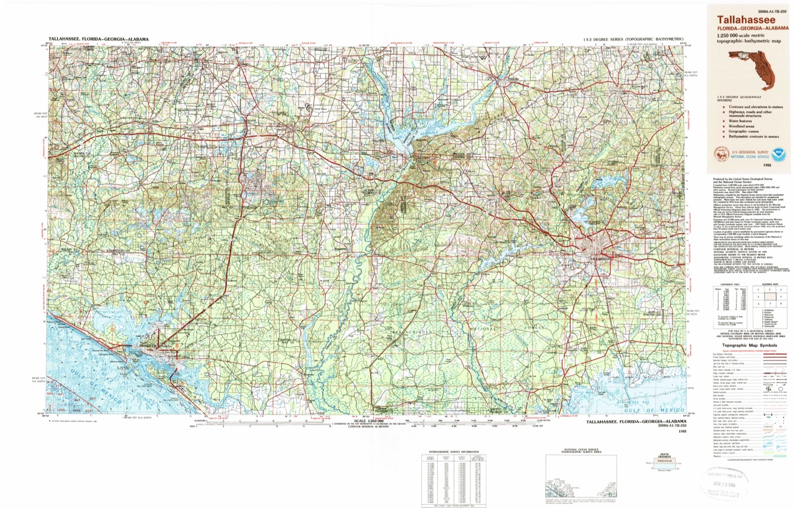
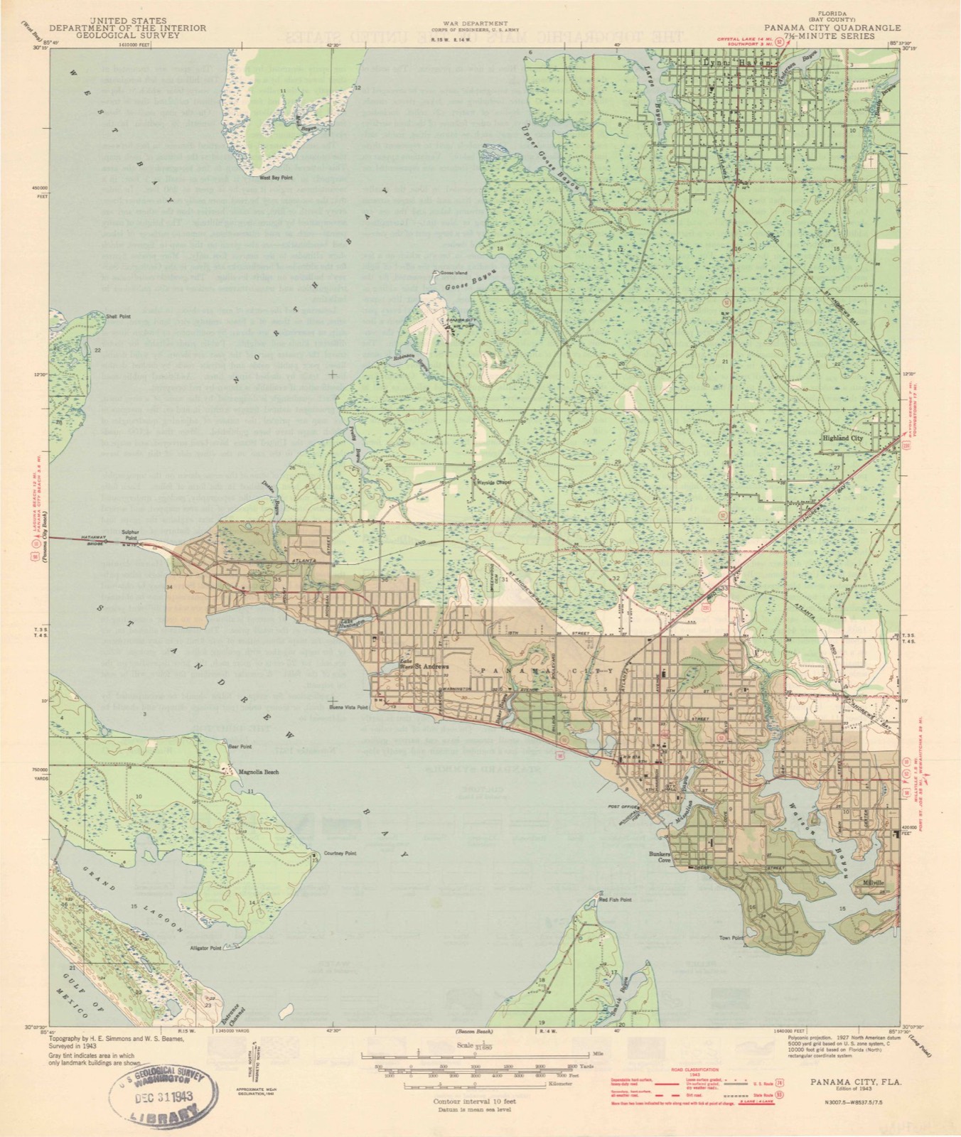
On record in Panama City
Buildings and businesses the archive holds for this place. Each opens its own page, with the source record it came from.
On the National Register 9 records
 Robert L. McKenzie Houselisted 1986
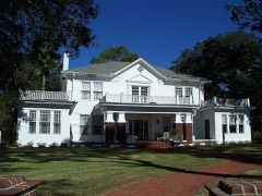 Payne, A.A.-Christo, John Sr., Houselisted 2008
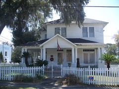 Sapp Houselisted 2003
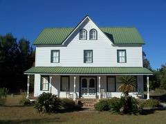 Schmidt-Godert Farmlisted 2002
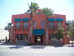 Sherman Arcadelisted 1998
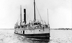 SS Tarpon (Shipwreck)listed 2001
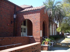 St. Andrew Schoollisted 1997
- Panama City Publishing Company Buildinglisted 2021
- Panama Grammar Schoollisted 2020
Population over time
2 figuresPanama City fell from 36,484 to 32,939 between 2010 and 2020. These are the recorded population figures Wikidata holds for this place, reached through the Geographic Names Information System number this page is keyed on rather than by name, so they belong to this place and not to another of the same name. Most are census counts, but not all are: an early figure may be a founding or settlement estimate, and an estimate published within five years of a census is left out. The change column is computed, and is left blank where more than 20 years separate a figure from the one before it, because a gap that long is not a change between two counts.
| Year | People | Change |
|---|---|---|
| 2010 | 36,484 | |
| 2020 | 32,939 | -3,545 (-10%) |
Topographic sheets covering this place
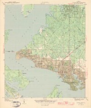
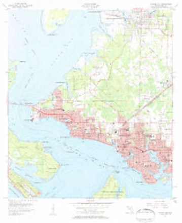
8 surveys from 17 printed sheetsMatched by testing this settlement's coordinate against the published boundary of every sheet in the United States Geological Survey's historical collection. Each opens the scanned sheet at the Survey.
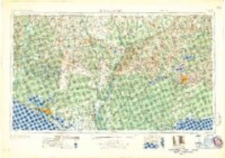
- 1943 USGS Panama City quadrangle1:31680, 3 printings
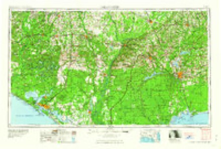
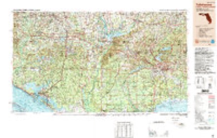
- 1954 USGS Tallahassee quadrangle1:250000, 4 printings
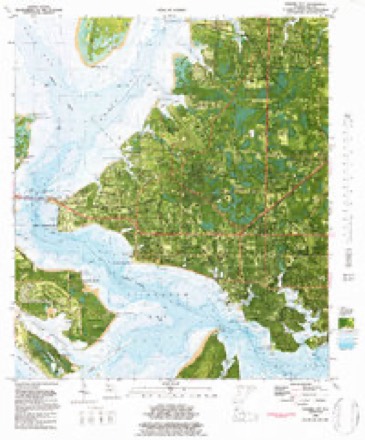
- 1956 USGS Panama City quadrangle1:24000, 2 printings
- 1959 USGS Tallahassee quadrangle1:250000
- 1960 USGS Tallahassee quadrangle1:250000
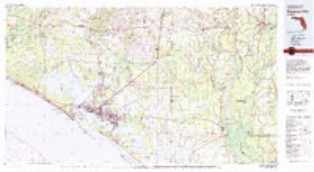
- 1981 USGS Panama City quadrangle1:100000, 2 printings
- 1982 USGS Panama City quadrangle1:24000, 2 printings
- 1988 USGS Tallahassee quadrangle1:250000, 2 printings
Fires near this place
160 since 1992Regional context, not property-specific evidence. The federal wildfire occurrence database lists 160 fires within 5 miles of Panama City between 1992 and 2020, burning about 376 acres in total. 4 started naturally. 23 were recorded as arson. Distance is straight-line from the map coordinates, so a fire counted here may appear on a neighbouring settlement's page as well.
| Reported cause | Fires |
|---|---|
| Misuse of fire by a minor | 52 |
| Missing data/not specified/undetermined | 25 |
| Arson/incendiarism | 23 |
| Equipment and vehicle use | 15 |
| Railroad operations and maintenance | 13 |
| Smoking | 10 |
| Recreation and ceremony | 9 |
| Debris and open burning | 7 |
| Natural | 4 |
| Power generation/transmission/distribution | 1 |
| Other causes | 1 |
The most recent of them, most recent first, with the day each was reported and the service that recorded it.
| Date | Cause | Size | Reported by | Name on the report |
|---|---|---|---|---|
| 7 September 2019 | Arson/incendiarism | 2.0 acres | Florida Forest Service | REDFISH POINT (03) |
| 25 September 2008 | Misuse of fire by a minor | under an acre | Florida Forest Service | 03/AZALEA CIRCLE-0615 |
| 18 September 2000 | Railroad operations and maintenance | under an acre | Florida Forest Service | not named |
| 10 September 2011 | Missing data/not specified/undetermined | under an acre | Florida Forest Service | ORMOND ( 0 3 ) |
| 3 August 1994 | Arson/incendiarism | under an acre | Florida Forest Service | not named |
| 6 July 1999 | Misuse of fire by a minor | under an acre | Florida Forest Service | not named |
| 5 July 2009 | Missing data/not specified/undetermined | under an acre | Florida Forest Service | 530 |
| 24 July 2000 | Natural | 8.0 acres | Florida Forest Service | not named |
Settlements close enough to share some of these fires:
Mines and quarries near this place
4 within 5 milesRegional context, not property-specific evidence. The federal mineral resources record lists 4 workings within 5 miles of Panama City: 3 producers, 1 past producer. 3 still produce. What was taken out: Sand and Gravel, Construction, Sand. Distance is straight-line from the map coordinates, so a quarry counted here may appear on a neighbouring settlement's page as well.
| Where | Site | Commodity | Status | Recorded |
|---|---|---|---|---|
| Fla. Asphalt & Paving | Sand | Producer | ||
| Bay Co. Pits | Sand and Gravel, Construction | Producer | ||
| Calloway Pit | Sand and Gravel, Construction | Producer | ||
| Gulf Asphalt Corp. | Sand and Gravel, Construction | Past Producer |
Storms near this place
60 of 73 shownRegional context, not property-specific evidence. The National Weather Service names Panama City in 73 storm reports between 1995 and 2025: 28 thunderstorm wind, 22 flash flood, 6 hail, 4 lightning. The reports record 2 deaths and 9 injuries. Each account below is quoted exactly as the forecast office filed it, from the NOAA Storm Events Database, and each date opens the federal record of that event.
| When | Event | Place named | Harm | What the report says |
|---|---|---|---|---|
| September 2004 | Tornado (F1) | Panama City | 1 killed, 7 hurt, $5,000,000 | A strong F1 tornado touched down near the St Andrews recreation area. It damaged dozens of restaurants, stores and shops as it moved north along Thomas Drive. Seven persons were injured at a seafood restaurant near Grand Lagoon. An elderly man was killed when the tornado destroyed a real estate office. The tornado moved across St Andrews Bay near the Hathaway Bridge and then 100 yards south of the WJHG-TV station before dissipating. Reported by the Bay County EMA and WJHG-TV meteorologist. |
| September 1996 | Lightning | Panama City | 1 killed | no account filed |
| July 1999 | Lightning | Panama City | 2 hurt | Two men working at Coastal Systems Station were slightly injured when a nearby lightning strike knocked them to the ground. |
| February 2000 | Thunderstorm Wind | Panama City | $1,000,000 | A BP service station was destroyed at the intersection of FL Highways 20 and 77 just south of the Bay-Washington County line. 45 homes and one business were damaged, and several mobile homes and vehicles overturned in the Sand Hills subdivision. Numerous downed trees and power lines blocked roads. 600 homes were without power. Debris was blown northeast into Washington County. Reported by Panama City WJHG-TV meteorologist. |
| October 2008 | Tornado (EF0) | West Panama City | $500,000 | A waterspout formed over the Grand Lagoon and came ashore as a tornado in the Bay Point/Preserve subdivision. Windows and roofs of several homes were damaged, a chimney was blown off a roof, and several trees and power lines were toppled. The tornado reentered the bay and came ashore near the Port of Panama City. Before it dissipated, tt tore off the roof of a building at 23rd Street and Grant Avenue and damaged a mobile home in the 2500 block of Grant Avenue. |
| March 2000 | Thunderstorm Wind | Panama City | $300,000 | Numerous downed trees and power lines from east Panama City to Parker and Calloway. Scattered power outages affected nearly 6,000 customers. A service station at East Avenue and U.S. Highway 231 in Panama City and another business near the Calloway Elementary School sustained moderate damage. Reported by the Bay County EMA. |
| August 1999 | Thunderstorm Wind | Panama City | $250,000 | Bay County EMA reported straight-line winds downed numerous trees and power lines. A shed was destroyed. Two convenience stores suffered roof damage. Several vehicles and carports were damaged. |
| April 2021 | Thunderstorm Wind | West Panama City | $75,000 | A tree fell on a home on Laurie Ave and resulted in significant damage. |
| November 2015 | Flood | West Panama City | $75,000 | Water entered the first floor of some houses on Vecuna Circle. Nearby, a cocorahs site measured a storm total of 11.25 inches, most of which fell within a 2 day period. Damage was estimated. |
| July 1995 | Thunderstorm Wind | Panama City | $50,000 | Bay County Emergency Management reported numerous traffic lights down and trees fallen on power lines. A few buildings and many roofs were also damaged, and a large metal building collapsed. |
| April 1999 | Flood | Panama City | $30,000 | Thunderstorms produced rainfall amounts from two to five inches across much of Bay County including Panama City. A half foot of water swept through the K&K Auto Glass Company in Panama City. The Panama City Police Department reported nine roads closed. |
| March 1999 | Thunderstorm Wind | Panama City | $28,000 | Five homes sustained minor roof damage at the intersection of Highway 77 and 34th St. in Highland Park. |
| March 2003 | Flash Flood | Panama City | $25,000 | Five inches of rain in three hours caused significant flooding of streets, intersections, and low-lying areas. Several cars were stranded along a flooded stretch of U.S. Highway 98. Reported by a TV meteorologist. |
| August 2001 | Lightning | Panama City | $25,000 | Lightning sparked a house fire and caused damage to the roof and attic. Reported by the Panama City News Herald. |
| March 2025 | Thunderstorm Wind | West Panama City | $15,000 | Portion of the metal roof peeled off the Oasis Worship Center along Front Beach Road. |
| April 2020 | Thunderstorm Wind | Panama City | $10,000 | Trees were blown down with damage to a marina and gym. |
| January 2019 | Thunderstorm Wind | Panama City | $10,000 | A picture of roof damage was posted on social media. Debris fell through the roof. |
| July 2000 | Wildfire | Panama City | $10,000 | A 63-acre controlled burn went awry in the East Callaway Heights area. The blaze which was contained eight days later, scorched nearly 1,000 acres. Numerous homes were threatened, but there were no mandatory evacuations. A barn and a shed were consumed at a residence on Dogwood Way. More than 100 firefighters and the Florida Division of Forestry fought the blaze. County officials closed a section of State Road 22 between Star Avenue and the Bay County line due to smoke. Reported by the Panama City News Herald. |
| January 2017 | Thunderstorm Wind | West Panama City | $5,000 | Multiple trees and power lines were blown down in the Panama City area. |
| January 2013 | Thunderstorm Wind | Panama City | $5,000 | The media reported a tree down on a house with structural damage near the intersection of Beach Dr and Fairy Ave in Panama City. Monetary damage was estimated. |
| August 2008 | Thunderstorm Wind | Panama City | $5,000 | Numerous trees were down throughout the city. Some trees fell onto power lines with scattered outages reported. |
| June 2007 | Lightning | Panama City | $5,000 | Lightning ignited a garage fire in Panama City. The detached garage was destroyed. |
| September 2018 | Thunderstorm Wind | Panama City | $3,000 | Several trees and power lines were blown down in the Panama City area. |
| February 2016 | Thunderstorm Wind | Panama City | $3,000 | Trees and power lines were blown down in the Panama City area. |
| October 2014 | Thunderstorm Wind | Panama City | $3,000 | Several reports of power lines blown down were received from around Panama City . Wind was also driving rainwater into some condo units through the balcony doors on Panama City Beach. |
| February 2021 | Thunderstorm Wind | West Panama City | $2,000 | Power lines were blown down on the west end of Panama City Beach. |
| January 2016 | Thunderstorm Wind | Panama City | $2,000 | Power lines were blown down on East 4th Ct in Panama City. Damage was estimated. |
| January 2013 | Thunderstorm Wind | Panama City | $2,000 | Power lines were blown down in downtown Panama City. Monetary damage was estimated. |
| July 2012 | Thunderstorm Wind | Panama City | $2,000 | Power lines were blown down at the intersection of W. 13th Street and Grace Avenue in Panama City. Monetary damage was estimated. |
| July 2025 | Flash Flood | West Panama City | - | There were a couple of photos of street flooding on Thomas Drive, including near Pineapple Willys. |
| January 2024 | Hail | West Panama City | - | The WJHG TV station reported 1.25 inch hail at the station. |
| May 2024 | Thunderstorm Wind | Panama City | - | An Ambient weather station gusted to 58 mph. |
| December 2023 | Flash Flood | Panama City | - | The Bay County Sheriff's Office reported that 23rd Street near the Golden Corral was becoming impassible due to flash flooding. |
| April 2021 | Thunderstorm Wind | Panama City | - | The NOS sensor at the Panama City Marina measured a 78 mph wind gust. |
| April 2021 | Flash Flood | West Panama City | - | The road was closed at Allison Ave and Front Beach Road due to flooding. |
| April 2021 | Tornado (EF0) | West Panama City | - | A weak tornado moved ashore and was captured on video. Patio chairs were observed being thrown in the video(s) of the tornado. No other damage occurred. This tornado was rated EF0 with max winds estimated at 60 mph. |
| April 2021 | Flash Flood | West Panama City | - | The road was closed due to flooding near Front Beach Road and Dorothy Ave. |
| April 2021 | Flash Flood | Panama City | - | Oak Ave was closed due to flooding. |
| April 2021 | Flash Flood | Panama City | - | The road was flooded and closed near 14th Street west of Jenks Ave. |
| August 2021 | Heavy Rain | Panama City | - | One indirect fatality occurred due to hydroplaning from heavy rainfall in association with Tropical Storm Fred. |
| October 2021 | Flash Flood | West Panama City | - | The intersection of Front Beach Road and S Thomas Drive was flooded. |
| October 2021 | Flash Flood | West Panama City | - | Thomas Drive was closed due to flooding. |
| October 2021 | Flash Flood | Panama City | - | There were numerous road closures and multiple high water rescues in the Panama City area. |
| June 2020 | Flash Flood | Panama City | - | Garden Club Drive was closed due to water over the road. |
| June 2020 | Flash Flood | Panama City | - | Vehicles got stuck on West Beach Drive in Panama City due to flooding on the roadway. |
| July 2020 | Thunderstorm Wind | West Panama City | - | A tree was blown down on Allison Ave. |
| September 2020 | Flash Flood | Panama City | - | Flooding was reported around E 4th St and Oak Ave. |
| September 2020 | Flash Flood | Panama City | - | W Beach Dr near Florida Ave was flooded. |
| September 2020 | Flash Flood | Panama City | - | The southbound lane of Martin Luther Kind Blvd was flooded. |
| September 2020 | Flash Flood | Panama City | - | Roads were flooded near 4th St and Jenks Ave. |
| September 2020 | Flash Flood | Panama City | - | Flooding was reported at Beach Drive and Cherry Street. |
| January 2019 | Thunderstorm Wind | Panama City | - | The Panama City News Herald newspaper reported that several tarps were blown off homes damaged during Hurricane Michael across Bay county. |
| January 2019 | Thunderstorm Wind | Panama City | - | Station PACF1 measured a wind gust of 58 mph. |
| June 2017 | Flash Flood | West Panama City | - | Water covered the roadway near Front Beach Road and Anne Avenue. |
| February 2017 | Thunderstorm Wind | Panama City | - | A tree was blown down at 13th Street and Jenks Ave. |
| February 2016 | Thunderstorm Wind | Panama City | - | A tree was blown down near the intersection of Frankford Ave and West Beach Dr. |
| June 2016 | Thunderstorm Wind | Panama City | - | A few trees were blown down near Panama City. |
| August 2016 | Flood | Panama City | - | There were numerous reports of roadway flooding in the Panama City area with some closed. |
| February 2014 | Flash Flood | West Panama City | - | Flash flooding was reported by dispatch at Joan Ave and Thomas Dr. |
| February 2014 | Flash Flood | West Panama City | - | Flash flooding was reported by dispatch at Laurie Ave and Front Beach Road. |
Nearest settlements
The eight closest, with where each one stands in the county. Distances are straight-line, computed from the Geographic Names Information System coordinates.
| Map | Place | Distance | Sheets |
|---|---|---|---|
| Cove | 1.1 miles | 17 | |
| Glenwood | 1.3 miles | 17 | |
| Baker | 1.4 miles | 17 | |
| Millville | 1.7 miles | 17 | |
| Cedar Grove | 2.0 miles | 17 | |
| Saint Andrew | 2.3 miles | 17 | |
| Dirego Park | 2.5 miles | 17 | |
| Bay Harbor | 2.5 miles | 15 |
Elsewhere
Matched on this settlement's Geographic Names Information System number rather than its name, so it cannot be a different place of the same name in another state.
| Wikipedia article on Panama City | An encyclopaedic summary. Its text is share-alike, so it is linked here rather than copied. |
| Wikidata item Q852591 | The structured record the population and elevation above come from. Public domain (CC0). |
Provenance
This settlement is recorded in the Geographic Names Information System as feature 288448. The sheet list is computed by point-in-boundary test against the United States Geological Survey's historical topographic inventory. Both are works of the United States government and carry no copyright under 17 U.S.C. 105.
Wildfire. Short, Karen C. 2022. Spatial wildfire occurrence data for the United States, 1992-2020 [FPA_FOD_20221014]. 6th Edition. Fort Collins, CO: Forest Service Research Data Archive. https://doi.org/10.2737/RDS-2013-0009.6 Collected with United States Government funding and usable without additional permissions or fees.
Mines and quarries. USGS Mineral Resources Data System (MRDS) https://mrdata.usgs.gov/mrds/ A work of the United States government, no copyright under 17 U.S.C. 105.
Storms. NOAA National Centers for Environmental Information, Storm Events Database https://www.ncei.noaa.gov/stormevents/ A work of the United States government, no copyright under 17 U.S.C. 105. Narratives are quoted verbatim from the National Weather Service report and are not edited or summarised.