 Block
BlockFrom the record
3 National Register listings published here.
Sources: the National Register database, National Park Service
52 topographic sheets cover 13 settlements here, and 3 properties are on the National Register of Historic Places.
3 National Register listings published here.
Sources: the National Register database, National Park Service
Every property in this county listed on the National Register of Historic Places, with the year it was listed and the federal nomination document.
| Photograph | Property | Type | Listed | Reference |
|---|---|---|---|---|
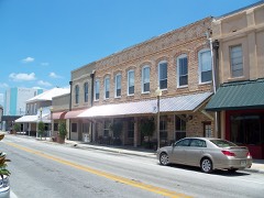 | Call Street Historic District | district | 1985 | 85003329 |
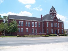 | Old Bradford County Courthouse | building | 1974 | 74000611 |
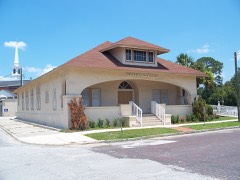 | Woman's Club of Starke | building | 1997 | 97000350 |
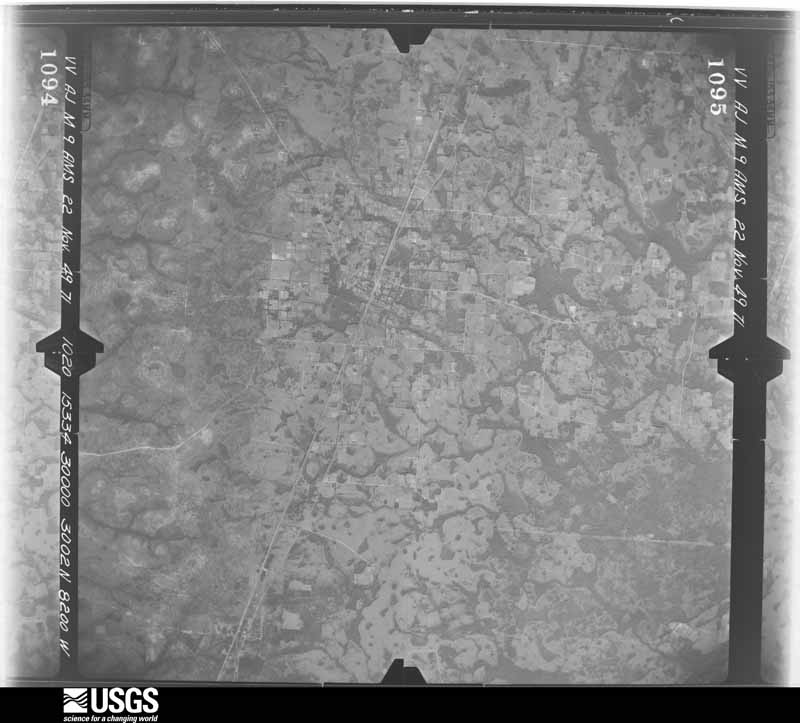
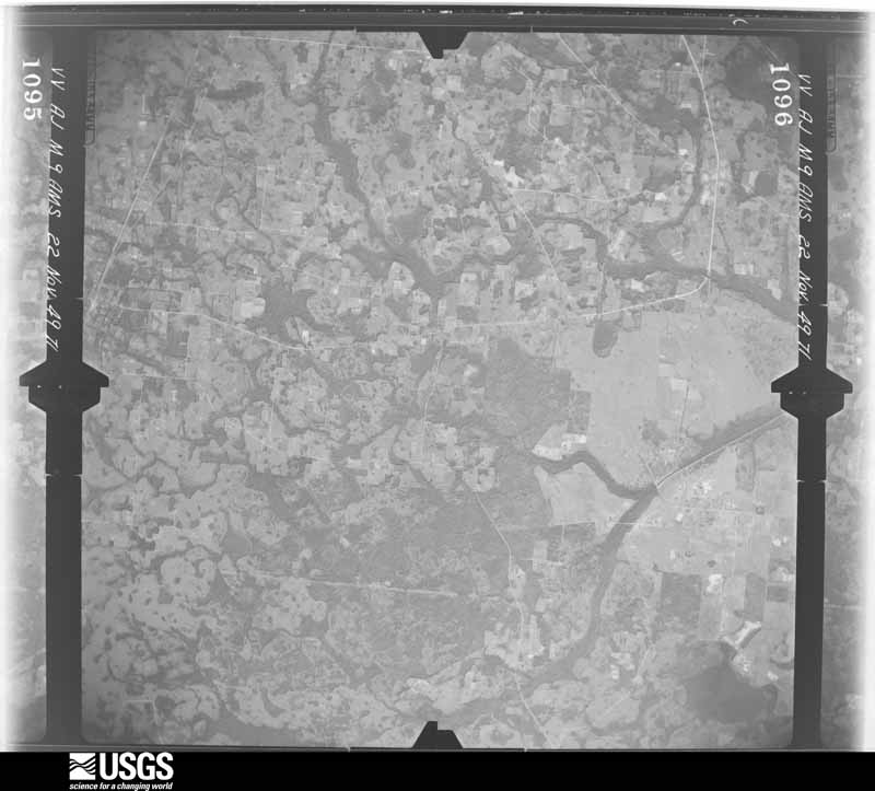
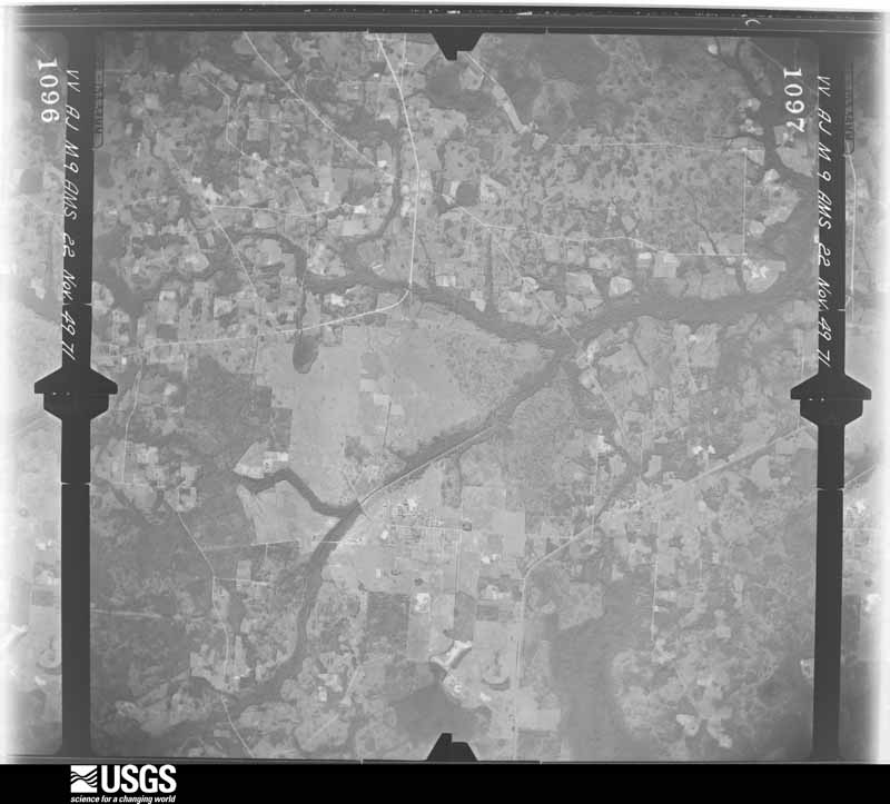
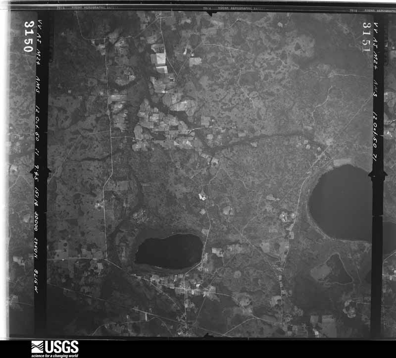
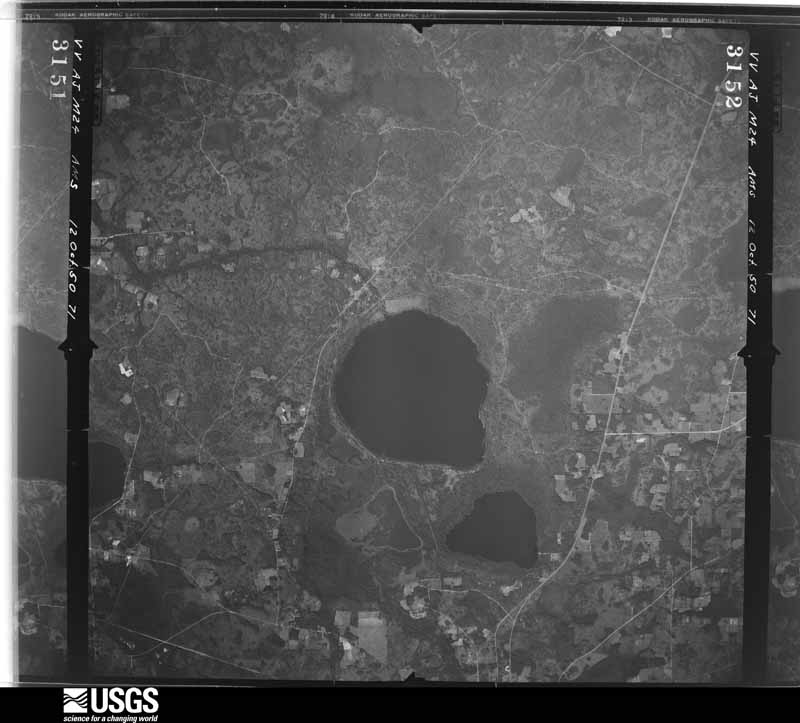
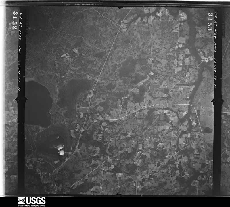
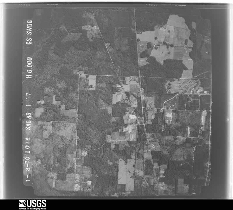
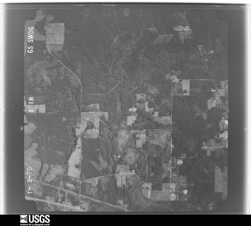
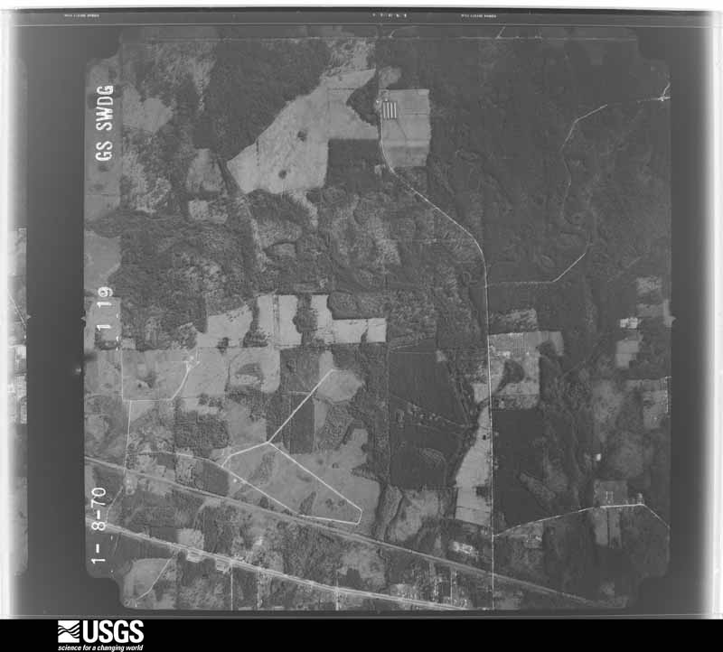
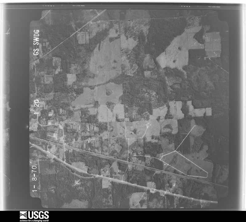
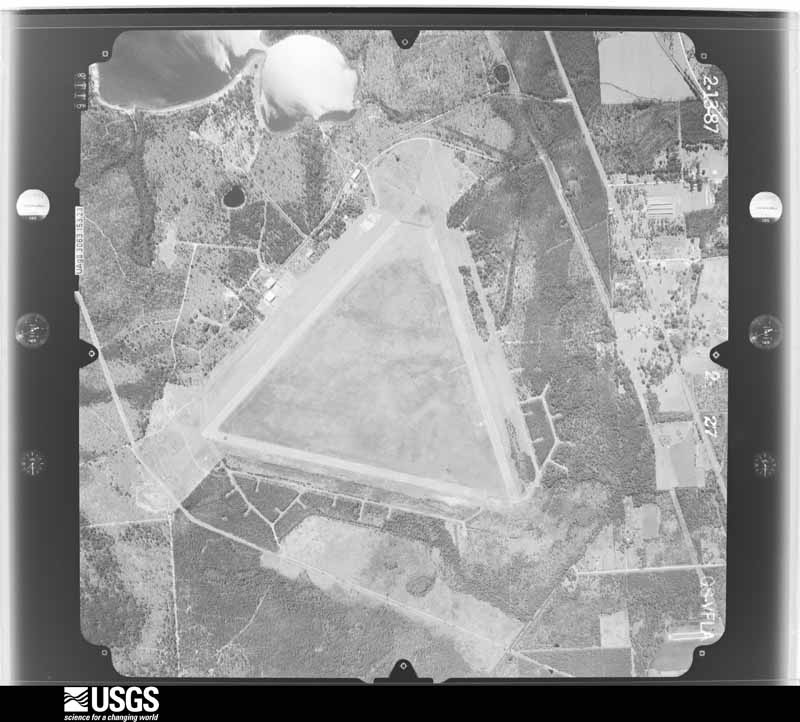
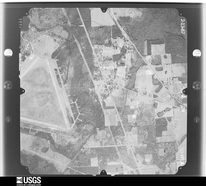
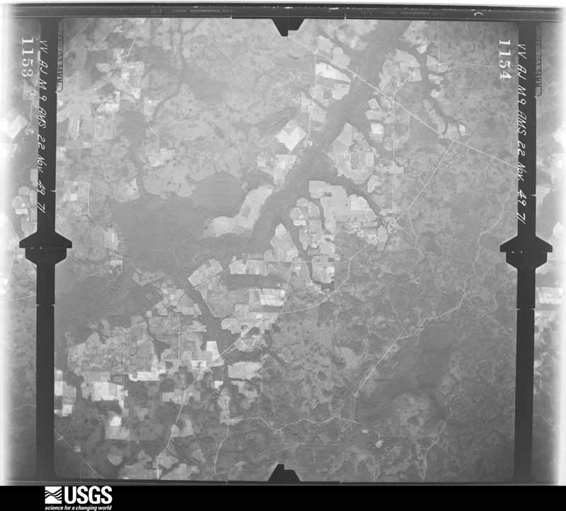
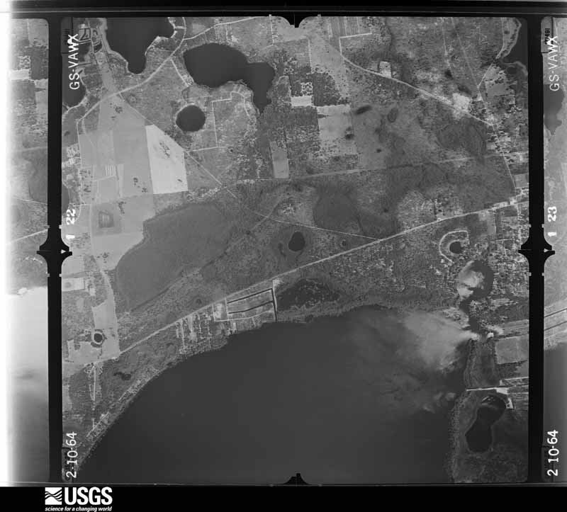
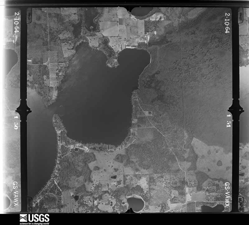
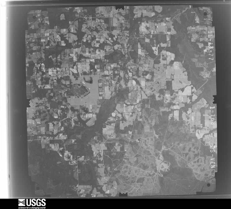
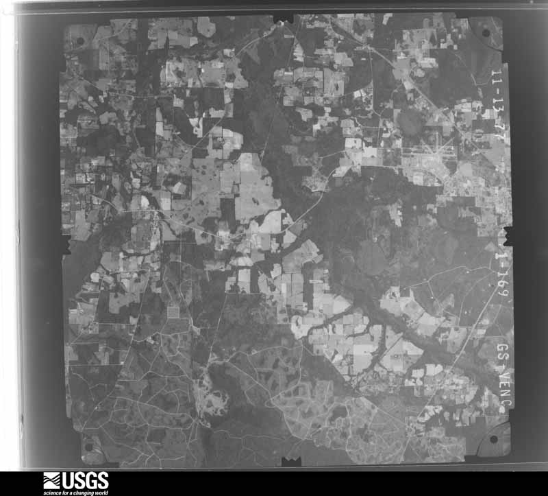
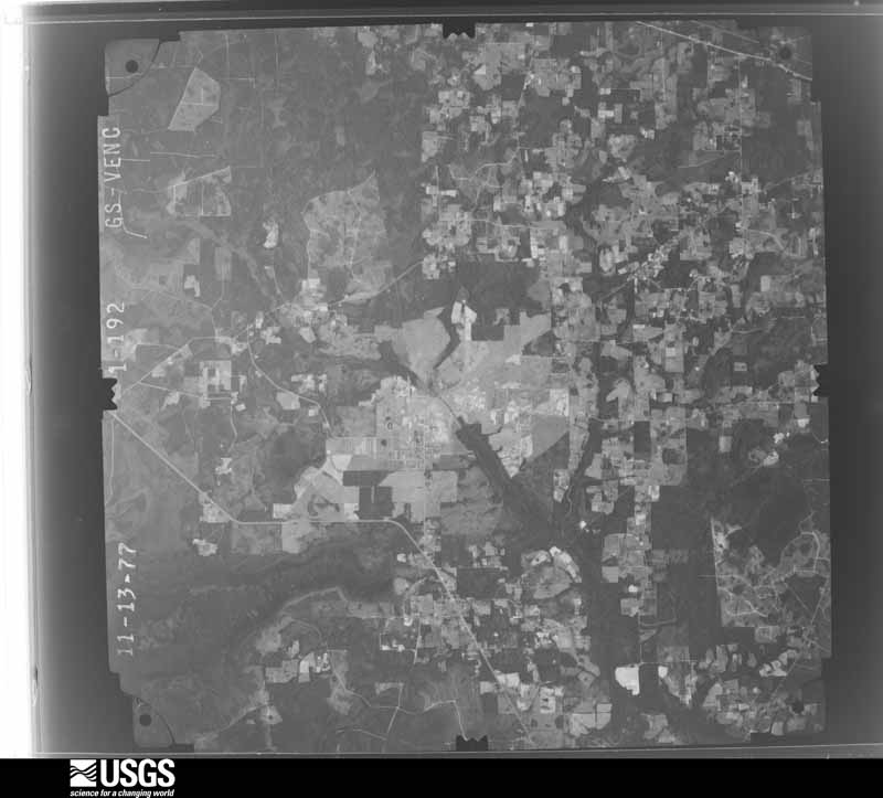
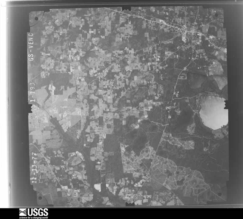
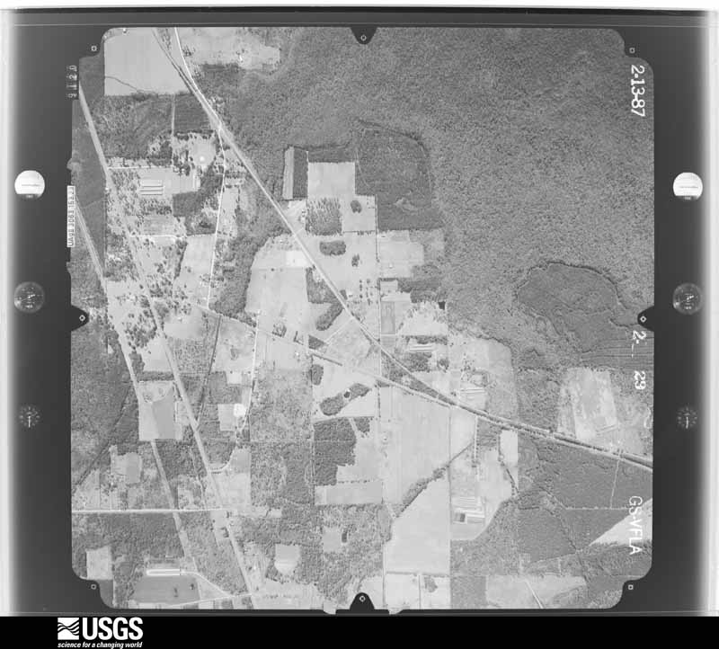
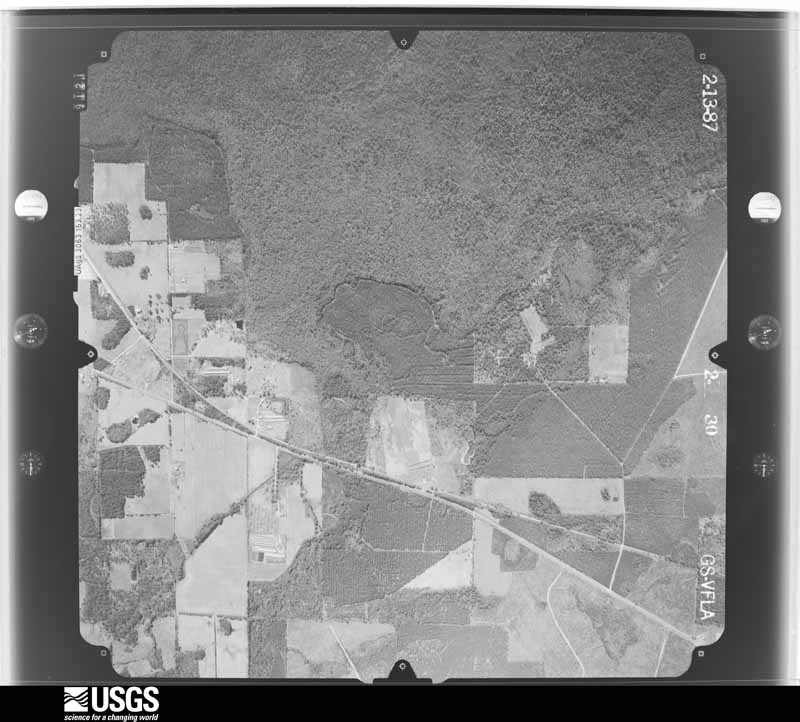
Flown by the U.S. Geological Survey between 1937 and 1989, the Aerial Photo Single Frames collection is the definitive mid-century view of the land: fields, roads and rivers as the camera saw them. The Survey holds 665 frames inside the rectangle that bounds this county; the 31 frames below were taken over the county itself, chosen across the decades of flights (at most four a year from that rectangle), so one flight cannot crowd out the rest. The full set is free to browse and download at EarthExplorer under the dataset Aerial Photo Single Frames.
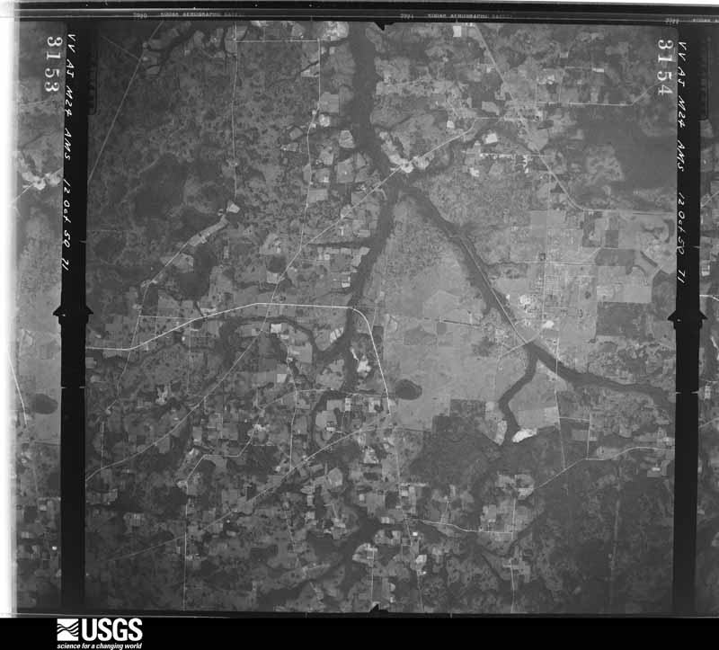

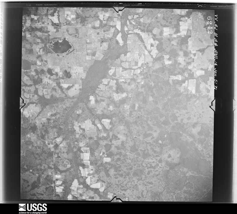


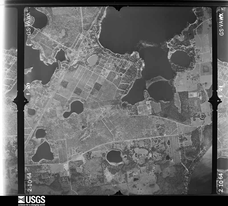
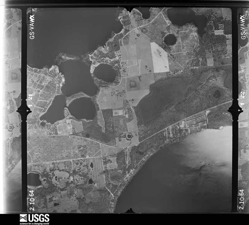



The thermometers that kept this county's weather, and the gages that measured the flow of its streams, as the federal records hold them. The extremes below are measured values from those records, not estimates.
Who lived here in 1950, one enumeration district at a time, as the Census Bureau described each district. Each row opens its official National Archives result, with Population Schedules and ED Maps available there.
Every wildfire the federal occurrence database records inside this county: 976 of them, burning about 27,623 acres. 114 started naturally and 131 were recorded as arson. Each settlement page carries the fires within five miles of it.
| Reported cause | Fires |
|---|---|
| Equipment and vehicle use | 197 |
| Debris and open burning | 194 |
| Railroad operations and maintenance | 173 |
| Arson/incendiarism | 131 |
| Natural | 114 |
| Missing data/not specified/undetermined | 71 |
| Misuse of fire by a minor | 40 |
| Power generation/transmission/distribution | 32 |
| Recreation and ceremony | 16 |
| Smoking | 3 |
| Other causes | 3 |
| Fireworks | 2 |
The five largest, by the area the report gives. One of them was set deliberately.
| Date | Cause | Size | Reported by | Name on the report |
|---|---|---|---|---|
| 7 May 2007 | Arson/incendiarism | 14,626 acres | Florida Forest Service | 03-04-DAIRY ROAD-0725 |
| 8 June 2011 | Natural | 5,679 acres | Florida Forest Service | SANTA FE 11 (04) |
| 17 June 1998 | Equipment and vehicle use | 1,102 acres | Florida Forest Service | not named |
| 19 February 2002 | Missing data/not specified/undetermined | 460 acres | Florida Forest Service | not named |
| 7 May 2017 | Natural | 391 acres | Florida Forest Service | DUPONT (04) |
| 16 February 1996 | Missing data/not specified/undetermined | 300 acres | Florida Forest Service | not named |
| 18 June 1998 | Equipment and vehicle use | 250 acres | Florida Forest Service | not named |
| 15 June 1998 | Equipment and vehicle use | 200 acres | Florida Forest Service | not named |
Every settlement page carries the fires within five miles of it - see the settlement index below.
The NOAA Storm Events Database holds 222 reports for this county, causing no deaths, 8 injuries and about $4,352,950 in recorded property damage. Each settlement page carries the reports that name it.
| Kind of event | Reports |
|---|---|
| Thunderstorm Wind | 123 |
| Hail | 33 |
| Tornado | 21 |
| Heavy Rain | 17 |
| Flood | 13 |
| Lightning | 8 |
| Funnel Cloud | 4 |
| Flash Flood | 2 |
| Wildfire | 1 |
The most serious of them, by death, then injury, then recorded damage. The accounts are quoted exactly as the forecast office filed them.
| When | Event | Place named | Harm | What the report says |
|---|---|---|---|---|
| December 2020 | Thunderstorm Wind | Lincoln City | 2 hurt | Major wind damage to homes occurred in Starke and families are displaced. Possible tornado damage. |
| December 2020 | Tornado (EF1) | Hampton | 2 hurt | A weak tornado touched down just SW of Stark around 6:16 pm. The vortex damaged trees, fences, and roofs on manufactured homes along its 4 mile path. Four people were displaced on Christmas Eve by the tornado. Two people were taken to the hospital as a precaution and later released. The tornado was 100 yards at its widest point with peak winds of 105 mph. |
| July 2007 | Lightning | Lawtey | 2 hurt | Two people were injured in Lawtey from a lightning strike. |
| July 1980 | Tornado (F1) | not stated | 1 hurt, $25,000 | no account filed |
| February 1971 | Tornado (F2) | not stated | 1 hurt, $25,000 | no account filed |
| January 2010 | Tornado (EF1) | New River | $3,500,000 | An EF1 tornado touched down around 1322 pm EST in Bradford county. The path width varied from 200 to 400 yards, and the path length was around 9 to possibly 10 miles. Numerous outbuildings were damaged and destroyed. There was mostly minor damage to substantial structures. At least a dozen homes were damaged along County Road 229. There were 25 homes that suffered minor damage and 28 that had major damage. A total of 23 houses were destroyed. The emergency manager estimated $2.5 to $3 million dollars in damages to homes and about $500,000 in damages to out buildings. The tornado traveled just north of due east and lifted in western Clay County were the path may have gone over the Camp Blanding National Guard Auxiliary. |
| February 1975 | Tornado (F1) | not stated | $250,000 | no account filed |
| April 2017 | Lightning | Brooker | $100,000 | A structure fire due to lightning occurred during the pre-dawn hours. The cost of damage was unknown, but it was estimated for the event to be included in Storm Data. |
| July 2002 | Lightning | Lawtey | $80,000 | House struck by lightning and destroyed by subsequent fire. |
| May 2013 | Flood | Starke | $50,000 | Minor flooding of businesses and residences was reported along Highway 310 from Starke to Lawtey. Several roads were closed due to flood waters. The cost of damage was estimated for event inclusion in Storm Data. |
| August 2022 | Flood | Starke | $35,000 | The Bradford county sheriff reported flooding in several areas of Starke. Bradford County EM reported a closure of all directions on US-301 and FL-100 in Starke due to flooded roadways. Broadcast media reported that Bradford middle school canceled classes on Tuesday Aug 30th and Wednesday Aug 31st due to flood damage inside the school caused by heavy rainfall that occurred on Aug 28th. Flood water entered the main building which caused water damage in multiple classrooms. |
| March 2000 | Tornado (F0) | Starke | $30,000 | Very weak tornado. Damaged three homes. |
| June 1983 | Tornado (F1) | not stated | $25,000 | no account filed |
| August 1977 | Tornado (F1) | not stated | $25,000 | no account filed |
| July 1976 | Tornado (F1) | not stated | $25,000 | no account filed |
| March 1972 | Tornado (F1) | not stated | $25,000 | no account filed |
| May 2013 | Flood | Starke | $20,000 | All four lanes of Highway 301 in Starke were closed to flooding between Market Road and State Road 16. Water and Laura Streets also had major flooding. Many other roads were closed in sections of the city due to flooding. The cost of damage was estimated and is likely grossly underestimated. |
| June 2012 | Flood | Lake Sampson | $20,000 | Widespread flooding occurred across Starke. At 7 am on 6/25, emergency management reported several roads under water in the city including Bessent Road near Valley Road, Colley Road near the Hospital, NE 14th Ave, NE 17th Ave, SR 230 and at SR 16 and Old Lawtey Road. At 7:38 am, Alligator Creek over flowed with several homes threatened by flood waters. U.S. Highway 301 was closed from State Road 16 to Market Road due to flooding. Additional flooding concerns included North Water Street, East Mimosa Drive and Branford Drive in Starked. Flood control gates on Lake Sampson were opened due to high lake levels. There were 7 inches of rainfall during the past 24 hours across the county. At 8:47 am, a co-operative observer in Starked measured 6.5 inches of rainfall in the past 24 hours. The cost of damage was estimated, and it is likely greatly under-estimated. |
| March 2001 | Thunderstorm Wind | Hampton | $20,000 | Three homes damaged. Large trees and power lines were blown down. |
| February 2003 | Thunderstorm Wind | Starke | $10,000 | Vacant chicken house had tin roof torn off. County Road 233 and NW 59th Ave. |
| July 2002 | Thunderstorm Wind | Starke | $10,000 | Large trees down on house and power lines down. Crosby Lake Subdivision. Trees down crossing 160th Street. |
| May 2014 | Lightning | Starke | $7,000 | A lightning strike killed 7 cattle near Starke. The cost of damage was estimated for the event to be included in Storm Data and is likely incorrect. |
| October 2011 | Thunderstorm Wind | Lawtey | $5,000 | A tree limb was blown through a roof of an occupied residence on County Road 225 near NW 51 Lane. The cost of damage was estimated. |
| March 2001 | Thunderstorm Wind | Starke | $5,000 | Large trees were blown down. |
| January 1994 | Tornado (F0) | E of Brooker | $5,000 | A brief tornado touchdown tore up a few sheds and blew shingles off some houses. |
| June 2000 | Thunderstorm Wind | Sampson City | $3,500 | Large trees and power lines were blown down. |
| January 1999 | Thunderstorm Wind | Starke | $3,500 | Large trees and power lines were blown down. |
| March 2012 | Lightning | Theressa | $3,000 | Lightning struck a residence and caused damage to the property at 327 4th Ave. in Melrose. The cost of damage was estimated. |
| August 1997 | Thunderstorm Wind | Hampton | $3,000 | Large trees and power lines were blown down. A home was also damaged on SR-21 North of Melrose. |
| June 2000 | Thunderstorm Wind | Starke | $2,500 | Large trees and power lines were blown down. |
| June 2000 | Thunderstorm Wind | Starke | $2,500 | Large trees and power lines were blown down. |
| July 1982 | Tornado (F0) | not stated | $2,500 | no account filed |
| July 2015 | Thunderstorm Wind | Lawtey | $2,000 | Numerous power lines were damaged near County Road 225 and County Road 229. The cost of damage was unknown, but estimated for the event to be included in Storm Data. |
| May 2012 | Thunderstorm Wind | Starke | $2,000 | A tree and power line were blown down on State Road 16 in Heilborn Springs. The time was estimated based on radar. The cost of damage was estimated. |
| February 2003 | Thunderstorm Wind | Starke | $2,000 | Large trees and power lines down. |
| July 2002 | Thunderstorm Wind | Starke | $2,000 | Large trees down. Reports of trees down in Brooker. |
| November 1995 | Thunderstorm Wind | not stated | $2,000 | Numerous reports of trees and power lines blown down. |
| July 2000 | Thunderstorm Wind | Lawtey | $1,500 | Large trees and power lines were blown down. |
| May 1999 | Thunderstorm Wind | Starke | $1,500 | Large trees and power lines were blown down. |
| March 1998 | Thunderstorm Wind | Starke | $1,500 | Large trees and power lines were blown down. |
| August 1996 | Thunderstorm Wind | Starke | $1,500 | no account filed |
| March 2026 | Thunderstorm Wind | Theressa | $1,000 | Several trees were snapped and down off of SW County Road 18 in Bradford County. Time estimated via radar and reported gust of 55mph at nearby Keystone Heights Airport. |
| May 2019 | Thunderstorm Wind | New River | $1,000 | A tree was blown down onto a power line on NW 93rd Place. The cost of damage was unknown, but it was estimated for the event to be included in Storm Data. |
| July 2017 | Thunderstorm Wind | Hampton Beach | $1,000 | Several trees were blown down near County Road 18 along both sides of U.S. Highway 301 in Hampton. A few trees feel onto power lines. The cost of damage was estimated. |
| July 2016 | Thunderstorm Wind | Hampton | $1,000 | An oak tree was blown down near the intersection of SE 49th Ave and SE 92nd Street. The cost of damage was unknown but it was estimated for the event to be included in Storm Data. |
| July 2016 | Thunderstorm Wind | Starke | $1,000 | A tree was blown down onto 2 power lines along Polk Avenue. The cost of damage was unknown but estimated for the event to be included in Storm Data. |
| July 2016 | Thunderstorm Wind | Sampson City | $1,000 | Two trees were blown down near the intersection of County Road 225 and State Road 100. The cost of damage was unknown but estimated for the event to be included in Storm Data. |
| July 2015 | Thunderstorm Wind | Lawtey | $1,000 | Power lines were blown down at County Road 220 and Highway 301. The cost of damage was estimated for the event to be included in Storm Data. |
| June 2014 | Thunderstorm Wind | Lincoln City | $1,000 | Power lines were down in the roadway. The cost of damage was estimated for the event to be included in StormData. |
| June 2014 | Thunderstorm Wind | Starke | $1,000 | Two trees were down near downtown Starke. The cost of damage was estimated for inclusion of the event in Storm Data. |
| June 2014 | Thunderstorm Wind | Lake Sampson | $1,000 | A tree and power line were blown down near NW County Road 225. The cost of damage was estimated for the event to be included in StormData. |
| October 2011 | Thunderstorm Wind | Starke | $1,000 | A tree was blown down blocking State Road 230 near Valley Road. The cost of damage removal was estimated. |
| October 2011 | Thunderstorm Wind | Lawtey | $1,000 | A tree was blocking County Road 225 near Lake Street. The cost of damage removal was estimated. |
| October 2011 | Thunderstorm Wind | Starke | $1,000 | A tree was blocking the road on NW 203rd Way. The cost of damage removal was estimated. |
| October 2011 | Thunderstorm Wind | Clayno | $1,000 | A tree was blown down across 113th Ave in Riverbend Estates. The cost of damage removal was estimated. |
| March 1996 | Thunderstorm Wind | Starke | $1,000 | no account filed |
| June 2014 | Thunderstorm Wind | Hampton | $500 | A tree was blown down near the railroad tracks. The cost of damage was estimated for the event to be included in Storm Data. |
| June 2014 | Thunderstorm Wind | Hampton Beach | $500 | A tree was blown down near County Road 18. The cost of damage was estimated for the event to be included Storm Data. |
| October 2011 | Thunderstorm Wind | Starke | $500 | A tree limb was down on power lines on North Epperson Street. The cost of damage removal was estimated. |
| March 2001 | Thunderstorm Wind | Starke | $500 | Large trees and power lines were blown down. |
The Survey's mineral resources record lists 2 workings inside this county. None of them still produces: all are closed or unrecorded. Each settlement page carries the workings within five miles of it.
| Commodity | Workings |
|---|---|
| Phosphorus-Phosphates | 2 |
| Uranium, Water, Free, Fluorine-Fluorite, Iron, Magnesite, Aluminum | 1 |
| Aluminum, Fluorine-Fluorite, Iron, Magnesite, Uranium | 1 |
The least common of them first, because a county's hundredth gravel pit says nothing its first ten did not.
| Where | Site | Commodity | Status | Recorded |
|---|---|---|---|---|
| Brooker-Dukes | Phosphorus-Phosphates, Aluminum, Fluorine-Fluorite, Iron, Magnesite, Uranium | Prospect | 1960 | |
| Container Corporation | Phosphorus-Phosphates, Uranium, Water, Free, Fluorine-Fluorite, Iron, Magnesite, Aluminum | Occurrence |
Named settlements recorded in the Geographic Names Information System, each with the topographic sheets covering it. Villages, hamlets and abandoned places alike. Each is shown with the nearest named watercourse or landform and the survey quadrangle it falls on.
Brooker census division · 32622 · On Braggs Branch · Brooker quadrangle
11 sheets, 1954 to 1981
Hampton census division · 32044 · On Sampson River · Waldo quadrangle
15 sheets, 1941 to 1991
Hampton census division · 32091 · On Double Run Creek · Keystone Heights quadrangle
16 sheets, 1941 to 1993