 Block
BlockStarke, Florida
17 topographic sheets cover this place, the earliest surveyed in 1941 and the latest in 1999. It stands in the Starke census division. It lies in ZIP code area 32091. The Survey maps it on the Starke quadrangle. 5,796 people lived here at the 2020 count. It stands 164 feet above sea level.
Research this city
Then and now
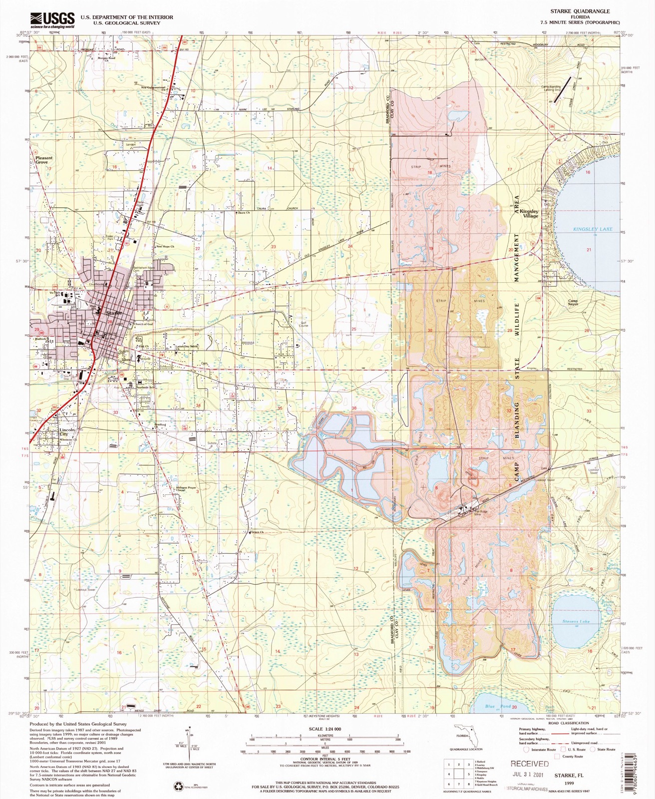
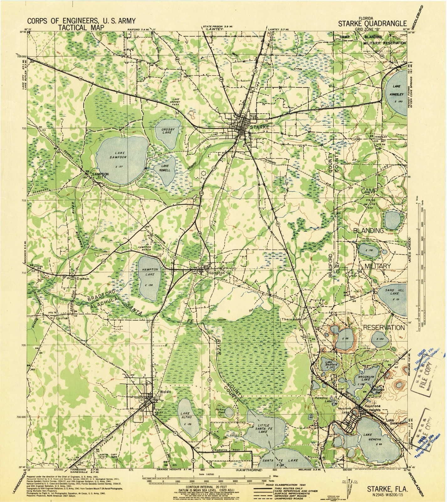
1941 to 1999The same ground, surveyed 58 years apart. Drag the handle to wipe between them. Both sheets are United States Geological Survey originals; neither has been altered.
Compare 1941 against another survey:
On record in Starke
Buildings and businesses the archive holds for this place. Each opens its own page, with the source record it came from.
On the National Register 3 records
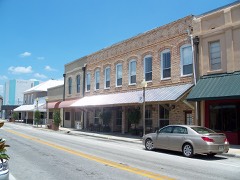 Call Street Historic Districtlisted 1985
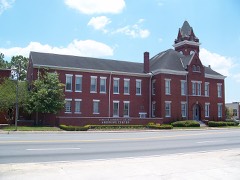 Old Bradford County Courthouselisted 1974
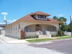 Woman's Club of Starkelisted 1997
Population over time
2 figuresStarke grew from 5,449 to 5,796 between 2010 and 2020. These are the recorded population figures Wikidata holds for this place, reached through the Geographic Names Information System number this page is keyed on rather than by name, so they belong to this place and not to another of the same name. Most are census counts, but not all are: an early figure may be a founding or settlement estimate, and an estimate published within five years of a census is left out. The change column is computed, and is left blank where more than 20 years separate a figure from the one before it, because a gap that long is not a change between two counts.
| Year | People | Change |
|---|---|---|
| 2010 | 5,449 | |
| 2020 | 5,796 | +347 (+6%) |
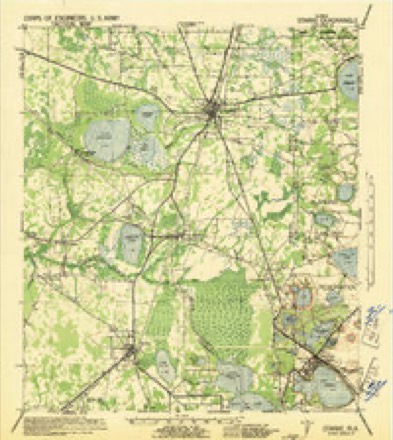
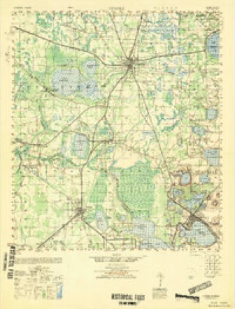
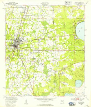
Topographic sheets covering this place
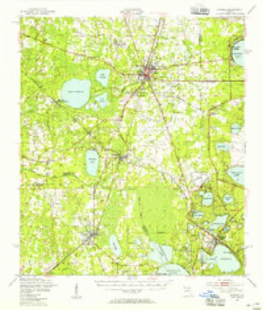
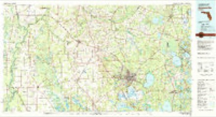
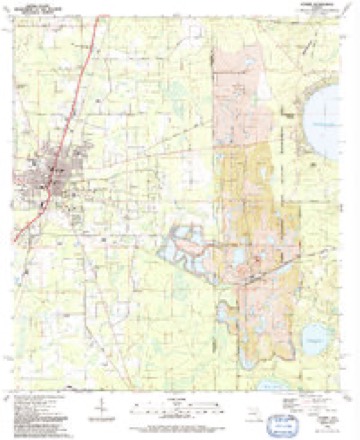
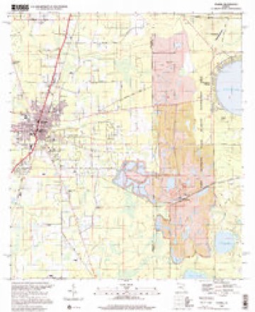
10 surveys from 17 printed sheetsMatched by testing this settlement's coordinate against the published boundary of every sheet in the United States Geological Survey's historical collection. Each opens the scanned sheet at the Survey.
- 1941 USGS Starke quadrangle1:62500
- 1948 USGS Starke quadrangle1:50000
- 1949 USGS Starke quadrangle1:24000, 4 printings
- 1949 USGS Starke quadrangle1:62500, 2 printings
- 1954 USGS Gainesville quadrangle1:250000, 3 printings
- 1958 USGS Gainesville quadrangle1:250000
- 1959 USGS Gainesville quadrangle1:250000
- 1981 USGS Gainesville quadrangle1:100000, 2 printings
- 1991 USGS Starke quadrangle1:24000
- 1999 USGS Starke quadrangle1:24000
Fires near this place
380 since 1992Regional context, not property-specific evidence. The federal wildfire occurrence database lists 380 fires within 5 miles of Starke between 1992 and 2020, burning about 3,044 acres in total. 44 started naturally. 39 were recorded as arson. Distance is straight-line from the map coordinates, so a fire counted here may appear on a neighbouring settlement's page as well.
| Reported cause | Fires |
|---|---|
| Equipment and vehicle use | 79 |
| Debris and open burning | 73 |
| Railroad operations and maintenance | 72 |
| Natural | 44 |
| Arson/incendiarism | 39 |
| Missing data/not specified/undetermined | 24 |
| Misuse of fire by a minor | 19 |
| Power generation/transmission/distribution | 17 |
| Recreation and ceremony | 10 |
| Smoking | 2 |
| Other causes | 1 |
The most recent of them, most recent first, with the day each was reported and the service that recorded it.
| Date | Cause | Size | Reported by | Name on the report |
|---|---|---|---|---|
| 5 September 1999 | Railroad operations and maintenance | 10 acres | Florida Forest Service | not named |
| 5 September 1994 | Railroad operations and maintenance | 2.0 acres | Florida Forest Service | not named |
| 30 September 2019 | Arson/incendiarism | under an acre | Florida Forest Service | COUNTY ROAD 229 (04) |
| 3 September 1993 | Railroad operations and maintenance | 2.0 acres | Florida Forest Service | not named |
| 24 September 2019 | Equipment and vehicle use | 25 acres | Florida Forest Service | SR 16 NW (04) |
| 24 September 1993 | Equipment and vehicle use | 6.0 acres | Florida Forest Service | not named |
| 23 September 2009 | Missing data/not specified/undetermined | under an acre | Florida Forest Service | 03-04-84TH AVE.FIRE-1227 |
| 23 September 1992 | Natural | 3.0 acres | Florida Forest Service | not named |
Settlements close enough to share some of these fires:
Mines and quarries near this place
1 within 5 milesRegional context, not property-specific evidence. The federal mineral resources record lists 1 working within 5 miles of Starke: 1 plant. All of them still produce. What was taken out: Kyanite, Titanium, Zirconium, Aluminum. Distance is straight-line from the map coordinates, so a quarry counted here may appear on a neighbouring settlement's page as well.
| Where | Site | Commodity | Status | Recorded |
|---|---|---|---|---|
| Trail Ridge Concentrator | Kyanite, Titanium, Zirconium, Aluminum | Plant |
Storms near this place
60 of 73 shownRegional context, not property-specific evidence. The National Weather Service names Starke in 73 storm reports between 1993 and 2024: 40 thunderstorm wind, 11 hail, 7 heavy rain, 6 flood. No death or injury is recorded in these reports. Each account below is quoted exactly as the forecast office filed it, from the NOAA Storm Events Database, and each date opens the federal record of that event.
| When | Event | Place named | Harm | What the report says |
|---|---|---|---|---|
| May 2013 | Flood | Starke | $50,000 | Minor flooding of businesses and residences was reported along Highway 310 from Starke to Lawtey. Several roads were closed due to flood waters. The cost of damage was estimated for event inclusion in Storm Data. |
| August 2022 | Flood | Starke | $35,000 | The Bradford county sheriff reported flooding in several areas of Starke. Bradford County EM reported a closure of all directions on US-301 and FL-100 in Starke due to flooded roadways. Broadcast media reported that Bradford middle school canceled classes on Tuesday Aug 30th and Wednesday Aug 31st due to flood damage inside the school caused by heavy rainfall that occurred on Aug 28th. Flood water entered the main building which caused water damage in multiple classrooms. |
| March 2000 | Tornado (F0) | Starke | $30,000 | Very weak tornado. Damaged three homes. |
| May 2013 | Flood | Starke | $20,000 | All four lanes of Highway 301 in Starke were closed to flooding between Market Road and State Road 16. Water and Laura Streets also had major flooding. Many other roads were closed in sections of the city due to flooding. The cost of damage was estimated and is likely grossly underestimated. |
| February 2003 | Thunderstorm Wind | Starke | $10,000 | Vacant chicken house had tin roof torn off. County Road 233 and NW 59th Ave. |
| July 2002 | Thunderstorm Wind | Starke | $10,000 | Large trees down on house and power lines down. Crosby Lake Subdivision. Trees down crossing 160th Street. |
| May 2014 | Lightning | Starke | $7,000 | A lightning strike killed 7 cattle near Starke. The cost of damage was estimated for the event to be included in Storm Data and is likely incorrect. |
| March 2001 | Thunderstorm Wind | Starke | $5,000 | Large trees were blown down. |
| January 1999 | Thunderstorm Wind | Starke | $3,500 | Large trees and power lines were blown down. |
| June 2000 | Thunderstorm Wind | Starke | $2,500 | Large trees and power lines were blown down. |
| June 2000 | Thunderstorm Wind | Starke | $2,500 | Large trees and power lines were blown down. |
| May 2012 | Thunderstorm Wind | Starke | $2,000 | A tree and power line were blown down on State Road 16 in Heilborn Springs. The time was estimated based on radar. The cost of damage was estimated. |
| February 2003 | Thunderstorm Wind | Starke | $2,000 | Large trees and power lines down. |
| July 2002 | Thunderstorm Wind | Starke | $2,000 | Large trees down. Reports of trees down in Brooker. |
| May 1999 | Thunderstorm Wind | Starke | $1,500 | Large trees and power lines were blown down. |
| March 1998 | Thunderstorm Wind | Starke | $1,500 | Large trees and power lines were blown down. |
| August 1996 | Thunderstorm Wind | Starke | $1,500 | no account filed |
| July 2016 | Thunderstorm Wind | Starke | $1,000 | A tree was blown down onto 2 power lines along Polk Avenue. The cost of damage was unknown but estimated for the event to be included in Storm Data. |
| June 2014 | Thunderstorm Wind | Starke | $1,000 | Two trees were down near downtown Starke. The cost of damage was estimated for inclusion of the event in Storm Data. |
| October 2011 | Thunderstorm Wind | Starke | $1,000 | A tree was blown down blocking State Road 230 near Valley Road. The cost of damage removal was estimated. |
| October 2011 | Thunderstorm Wind | Starke | $1,000 | A tree was blocking the road on NW 203rd Way. The cost of damage removal was estimated. |
| March 1996 | Thunderstorm Wind | Starke | $1,000 | no account filed |
| October 2011 | Thunderstorm Wind | Starke | $500 | A tree limb was down on power lines on North Epperson Street. The cost of damage removal was estimated. |
| March 2001 | Thunderstorm Wind | Starke | $500 | Large trees and power lines were blown down. |
| June 1998 | Thunderstorm Wind | Starke | $500 | Large trees were blown down. |
| April 1997 | Thunderstorm Wind | Starke | $500 | Large trees were blown down on the South end of Geneva Estates. |
| March 1993 | Thunderstorm Wind | Starke | $500 | Thunderstorm winds blew down trees and power lines. |
| June 1998 | Thunderstorm Wind | Starke | $300 | Large tree limbs were blown down. |
| February 2024 | Hail | Starke | - | Penny size hail lasted a few minutes just east of Starke. |
| July 2024 | Heavy Rain | Starke | - | The Bradford County Sheriffs Office WeatherSTEM | measured 3.01 inches of rain. Rain began at | 8:30 PM. |
| July 2024 | Thunderstorm Wind | Starke | - | A large tree was blown down across the road near NW 59th Loop. The time of damage was estimated by radar. |
| August 2022 | Heavy Rain | Starke | - | Storm total rainfall of 5.32 inches was measured just east of starke. Most of the rain fell between 1630 and 1800. The report was relayed via social media. |
| September 2021 | Flood | Starke | - | One side of Highway 301 was flooded in front of the Bradford County Fairgrounds. The road had to be temporarily closed. |
| September 2021 | Heavy Rain | Starke | - | A private weather station east of Starke measured 3.49 inches of rainfall in one hour. |
| September 2021 | Heavy Rain | Starke | - | Storm total daily rainfall was 3.75 inches. |
| December 2021 | Tornado (EF1) | Starke | - | Numerous hard and softwood trees where snapped and some fell onto homes causing structural damage across the ESE of Starke. from Thomson Street to Wilson Road near the Shands Starke Medical Center. One home was shifted off of its foundation due to a large tree falling onto it. Metal roof panels were stripped away from a canopy. |
| June 2021 | Thunderstorm Wind | Starke | - | Trees were blown down near Old Lawtey Road. The time of the event was based on radar. |
| February 2020 | Thunderstorm Wind | Starke | - | The Whiskey River Saloon in Starke had lost a portion of its roof and had major water damage inside. Numerous trees and power lines were blown down across the county including in the Starke City limits. The time of damage was based on radar. |
| April 2019 | Thunderstorm Wind | Starke | - | A tree was blown down on a home at 1721 Glendale Street. Time of damage based on radar. |
| July 2019 | Heavy Rain | Starke | - | The WeatherStem station at the Bradford County Sheriffs office measured storm total rainfall of 2.76 inches. |
| June 2018 | Thunderstorm Wind | Starke | - | A large tree limb was blown down across County Road 233 and over Orange Street near Strarke. The time of damage was based on radar. |
| September 2017 | Flood | Starke | - | A report via social media showed Alligator Creek in Starke coming up to the bridge level at Laura Street. This was occurring at the same time that the creek gauge measuring major flooding status just downstream at U.S. Highway 301. |
| July 2015 | Thunderstorm Wind | Starke | - | Power lines were blown down in Starke one near State Road 100 and Laura Street. |
| August 2015 | Flood | Starke | - | Larua Street near Alligator Creek was closed due to high water. |
| September 2015 | Tornado (EF0) | Starke | - | A tornado with max winds of 85 mph caused damage to a roof on a home, a barn was mostly destroyed, and many cedar trees were snapped. |
| May 2014 | Hail | Starke | - | Golfball size hail was reported at the Best Barn at the intersection of Pratt and Orange Streets. Vehicle windows were busted. |
| May 2014 | Hail | Starke | - | Dime size hail was reported at the Bradford County EOC along with wind gusts near 30 mph. |
| May 2014 | Thunderstorm Wind | Starke | - | Power lines were blown down. An awning was blown off of a school near Pratt and Todd Roads. A large tree was blown down on Broadway and Pratt. |
| May 2014 | Hail | Starke | - | A spotter reported quarter to dime size hail at 581 North Temple Avenue. |
| June 2014 | Thunderstorm Wind | Starke | - | Power lines were blown down near Brownley and Weldon Street in Starke. |
| July 2011 | Thunderstorm Wind | Starke | - | Trees and power lines were blown down across the county. |
| May 2011 | Thunderstorm Wind | Starke | - | Trees were blown down along SE County Road 100A. The time was based on radar. |
| August 2011 | Thunderstorm Wind | Starke | - | Trees were blown down at the Bradford Motel and Campground in Starke. One tree fell on a vehicle. Another was blown down on NE 28th Avenue. |
| September 2011 | Thunderstorm Wind | Starke | - | Trees were blown down across power lines along SW County Road 100A. |
| May 2009 | Heavy Rain | Starke | - | A Cooperative Observer reported three inches of rain in a twenty four hour period. |
| April 2009 | Heavy Rain | Starke | - | Bradford County Emergency Management Agency reported several sinkholes had developed across the county due to heavy rainfall. |
| June 2008 | Thunderstorm Wind | Starke | - | A tree limb fell through a home one mile east of Starke on State Road 100 due to thunderstorm winds. Another tree limb fell through the roof at the Pine Forest Apartments in Starke. At the time of the damage report, over 1,000 people were without power in the Starke area due to damaged power lines. |
| June 2008 | Thunderstorm Wind | Starke | - | Florida State Warning Point relayed a report of a tree that was blown down in Starke and power lines that were blown down across Bradford county. One power line fell on a home at 19475 Northwest 44th Avenue in Starke. |
| June 2007 | Funnel Cloud | Starke | - | Emergency management reported a funnel cloud near the state prison along State Road 16. |
| October 2003 | Thunderstorm Wind | Starke | - | Damage reported by Union County Sheriffs Officer transiting western Bradford County along County Roads 229 and 235. Numerous large trees down on roadways near Bradford-Union County Line. |
Nearest settlements
The eight closest, with where each one stands in the county. Distances are straight-line, computed from the Geographic Names Information System coordinates.
| Map | Place | Distance | Sheets |
|---|---|---|---|
| Pleasant Grove | 2.8 miles | 16 | |
| Saxton | 4.9 miles | 15 | |
| Sampson | 5.5 miles | 16 | |
| Heilbronn | 5.6 miles | 13 | |
| Hampton | 5.6 miles | 15 | |
| Hampton Beach | 5.8 miles | 15 | |
| Lawtey | 7.2 miles | 15 | |
| Theressa | 7.8 miles | 16 |
Elsewhere
Matched on this settlement's Geographic Names Information System number rather than its name, so it cannot be a different place of the same name in another state.
| Wikipedia article on Starke | An encyclopaedic summary. Its text is share-alike, so it is linked here rather than copied. |
| Wikidata item Q2047919 | The structured record the population and elevation above come from. Public domain (CC0). |
Provenance
This settlement is recorded in the Geographic Names Information System as feature 291634. The sheet list is computed by point-in-boundary test against the United States Geological Survey's historical topographic inventory. Both are works of the United States government and carry no copyright under 17 U.S.C. 105.
Wildfire. Short, Karen C. 2022. Spatial wildfire occurrence data for the United States, 1992-2020 [FPA_FOD_20221014]. 6th Edition. Fort Collins, CO: Forest Service Research Data Archive. https://doi.org/10.2737/RDS-2013-0009.6 Collected with United States Government funding and usable without additional permissions or fees.
Mines and quarries. USGS Mineral Resources Data System (MRDS) https://mrdata.usgs.gov/mrds/ A work of the United States government, no copyright under 17 U.S.C. 105.
Storms. NOAA National Centers for Environmental Information, Storm Events Database https://www.ncei.noaa.gov/stormevents/ A work of the United States government, no copyright under 17 U.S.C. 105. Narratives are quoted verbatim from the National Weather Service report and are not edited or summarised.