 Block
BlockFrom the record
11 National Register listings published here.
Sources: the National Register database, National Park Service
59 topographic sheets cover 31 settlements here, and 11 properties are on the National Register of Historic Places.
11 National Register listings published here.
Sources: the National Register database, National Park Service
Every property in this county listed on the National Register of Historic Places, with the year it was listed and the federal nomination document.
| Photograph | Property | Type | Listed | Reference |
|---|---|---|---|---|
 | Columbia County High School | building | 1993 | 93001154 |
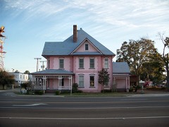 | Horace Duncan House | building | 1993 | 93001155 |
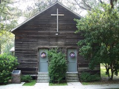 | Falling Creek Methodist Church and Cemetery | building | 1996 | 96000359 |
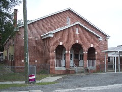 | Fort White Public School Historic District | district | 1989 | 89002061 |
| Goodbread-Black Farm Historic District | district | 1999 | 99000409 | |
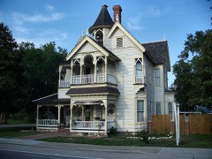 | T. G. Henderson House | building | 1973 | 73000571 |
 | Hotel Blanche | building | 1990 | 89002320 |
 | Lake City Historic Commercial District | district | 1994 | 93001157 |
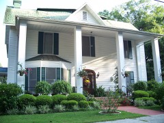 | Lake Isabella Historic Residential District | district | 1993 | 93001156 |
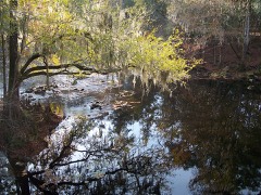 | O'Leno State Park | district | 2014 | 14000282 |
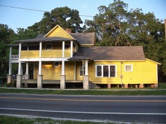 | Sikes House | building | 2007 | 06001318 |
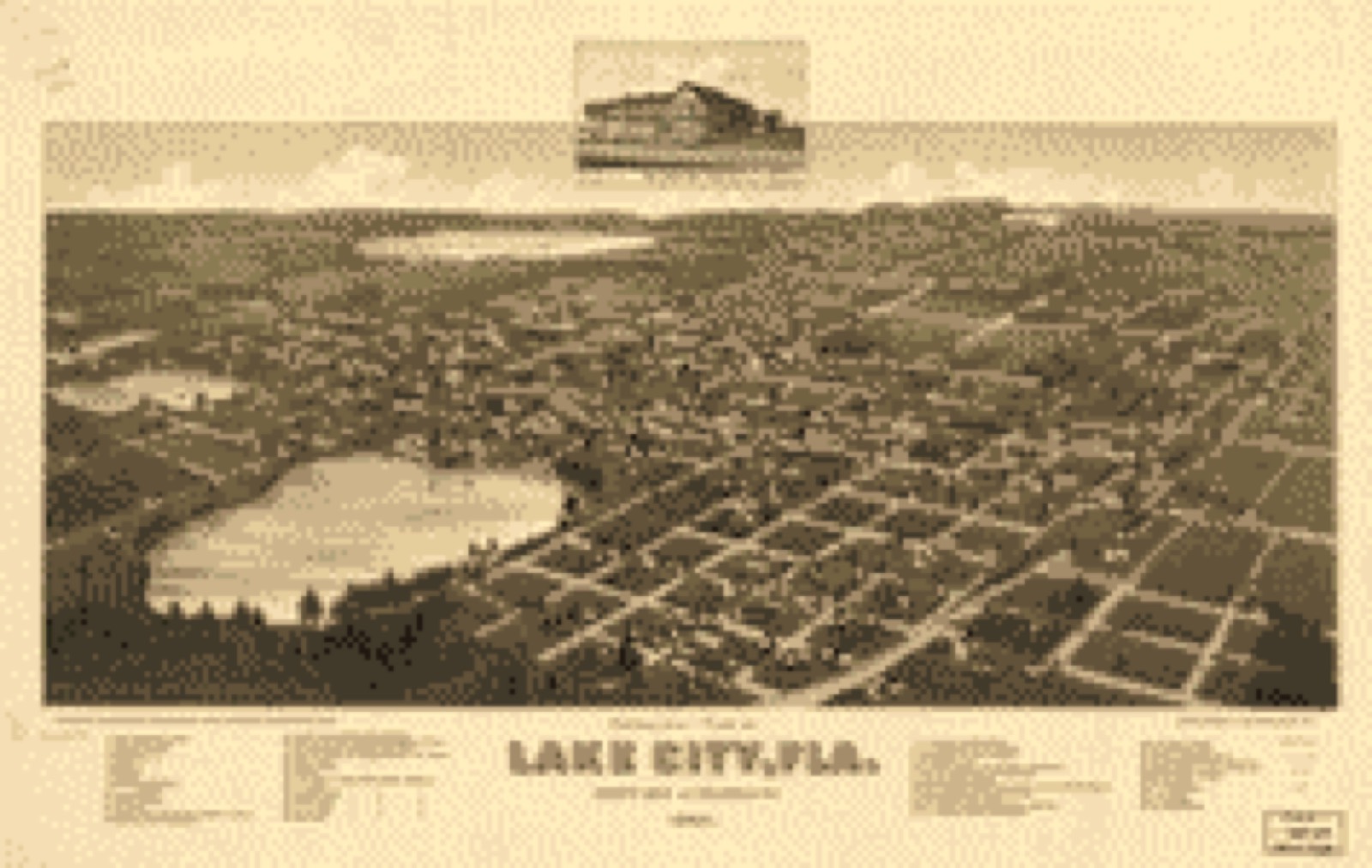
Drawn when these were printed as single large sheets: the town seen from the air, and the county divided into its farms with every owner named. Each opens the original at the Library of Congress.
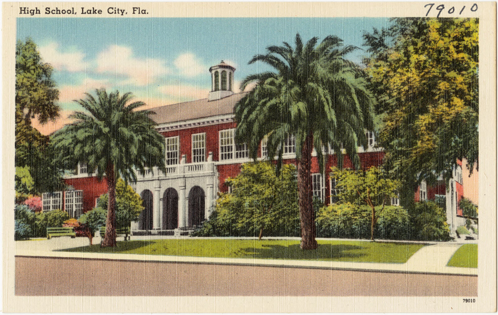
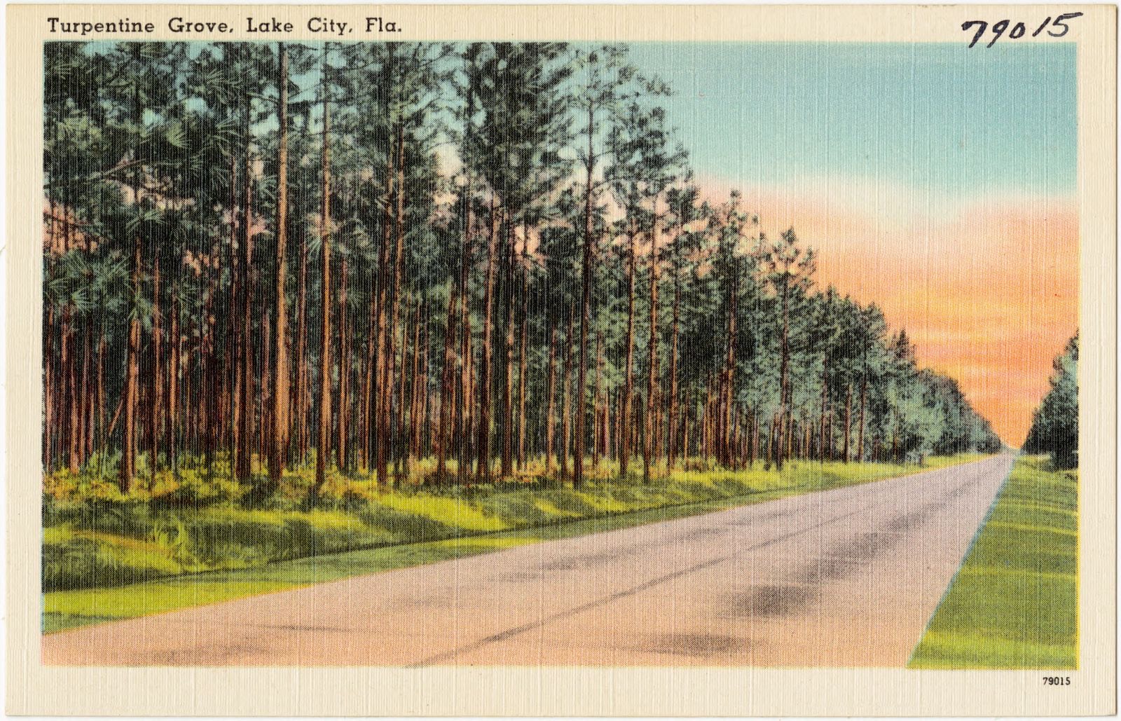
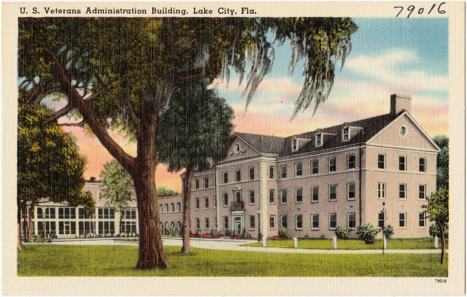
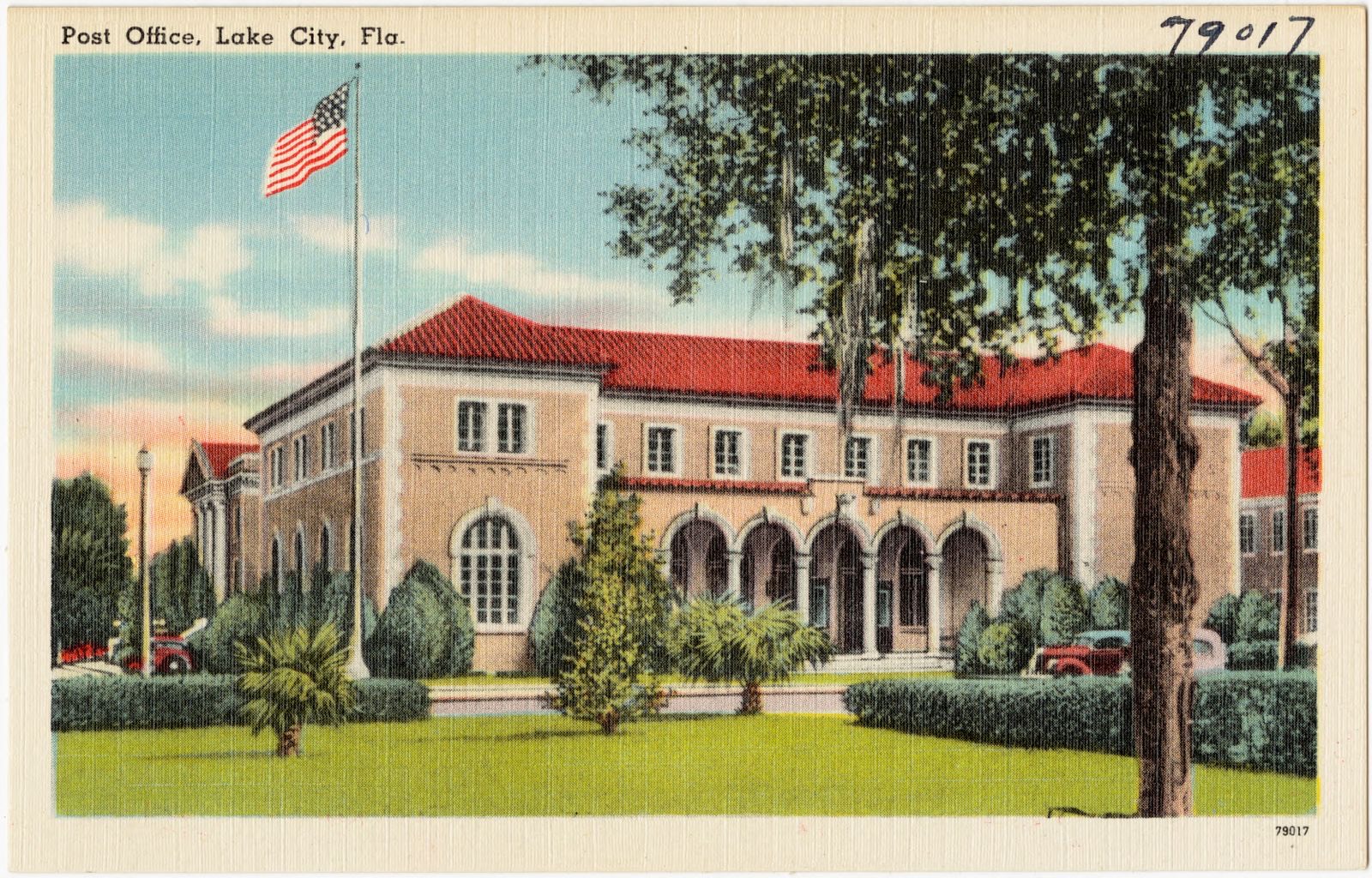
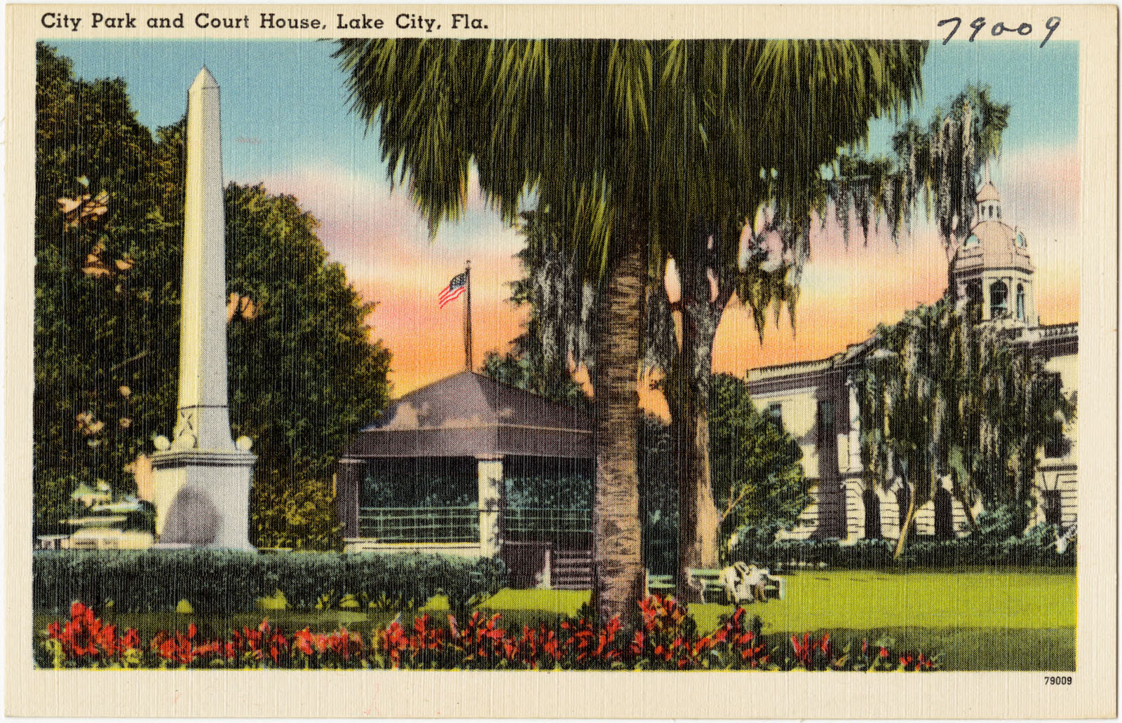
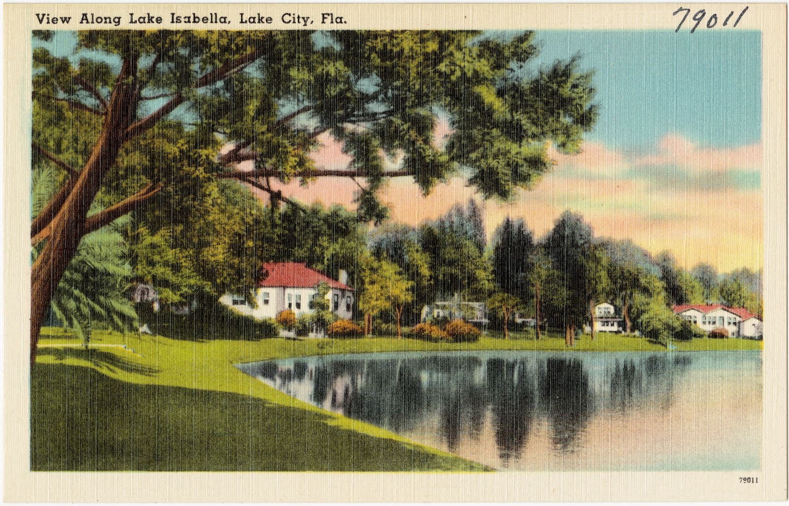
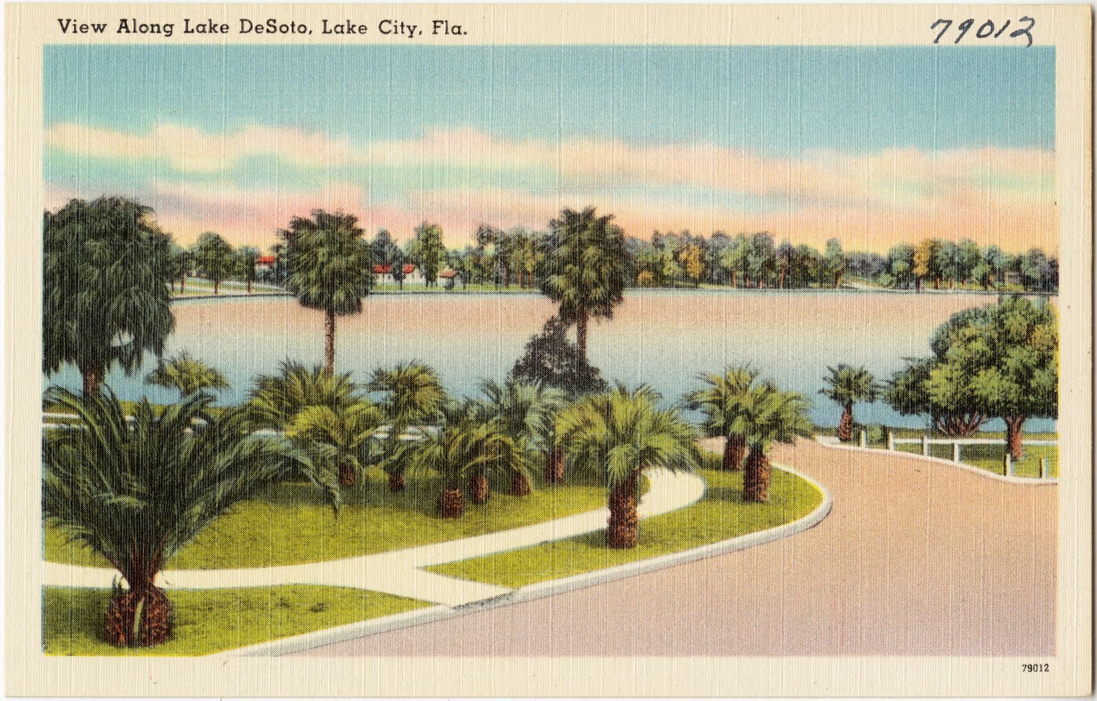
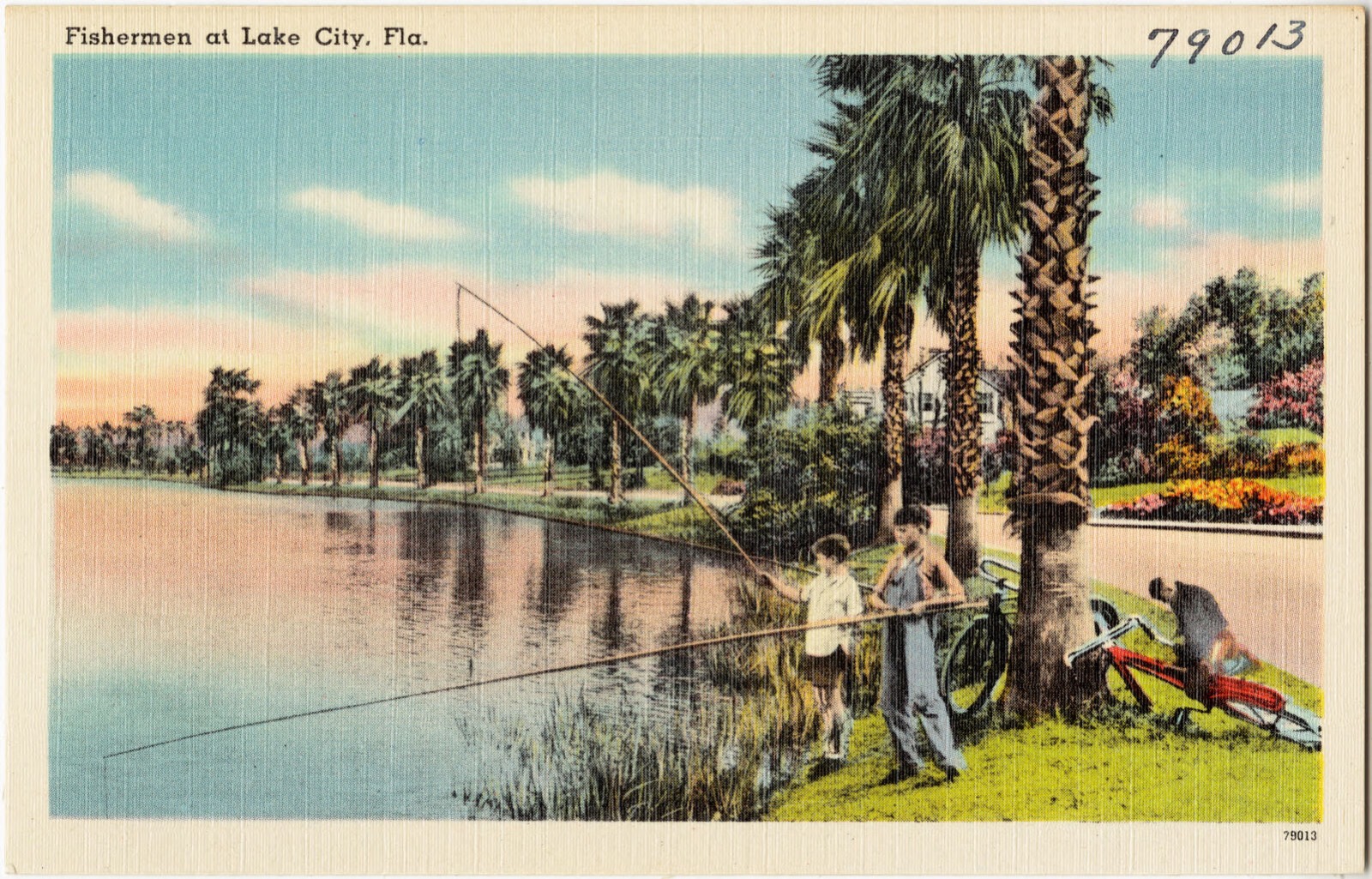
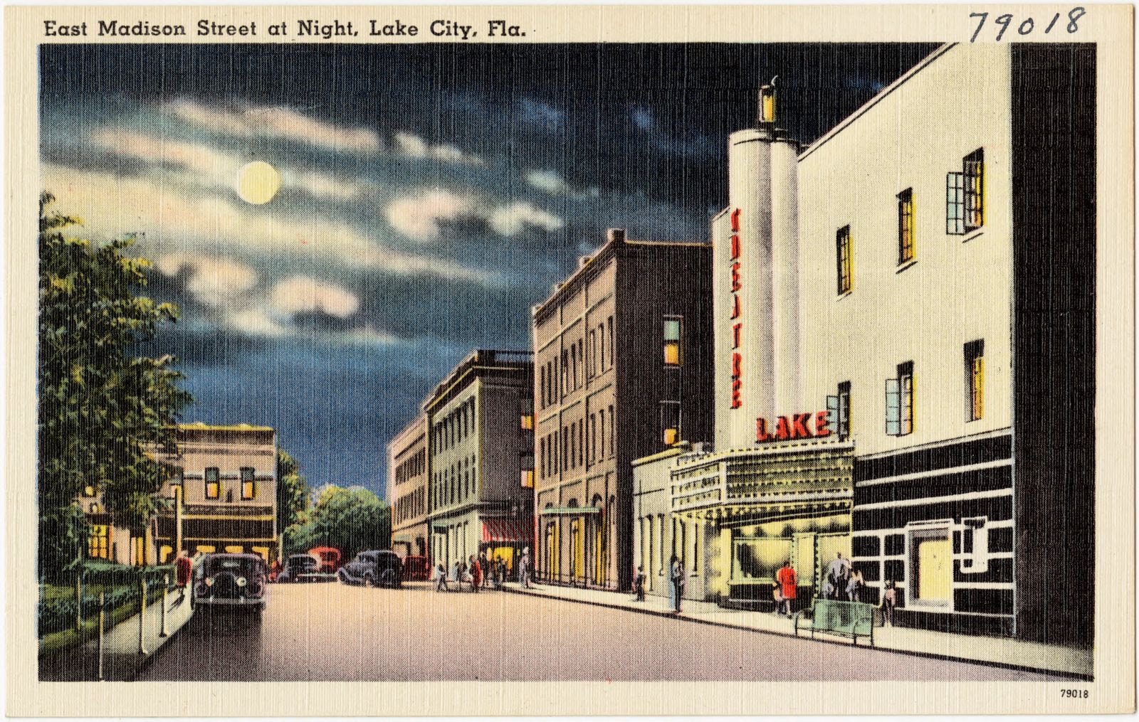
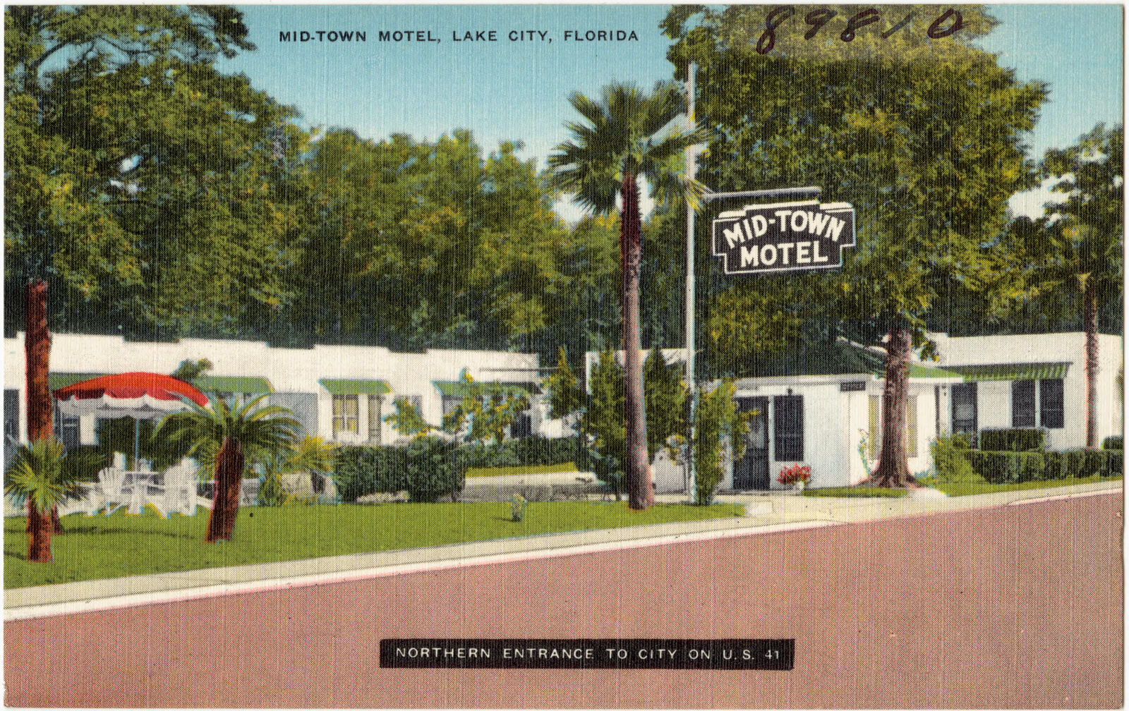
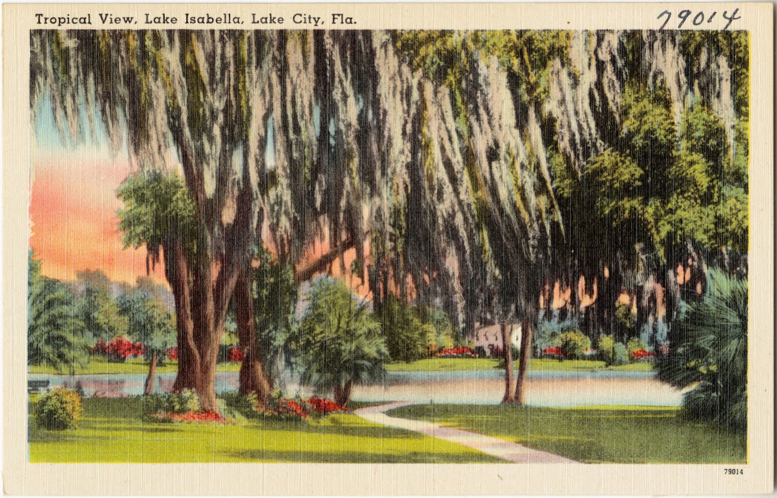
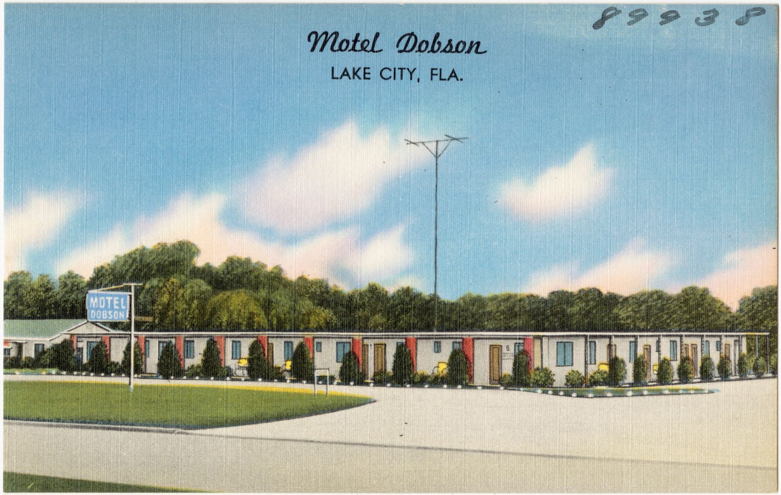
Selected from the Digital Public Library of America's 14 image records catalogued for this county. Every one shown here carries a public-domain status or a licence that permits reuse on a site that carries advertising; non-commercial, share-alike and restricted images are excluded. The selection is spread across the county's towns (at most eight per town), so no single institution's bulk upload crowds out the rest. Each opens the holding library's record, and the complete set at the Digital Public Library of America is one click away.
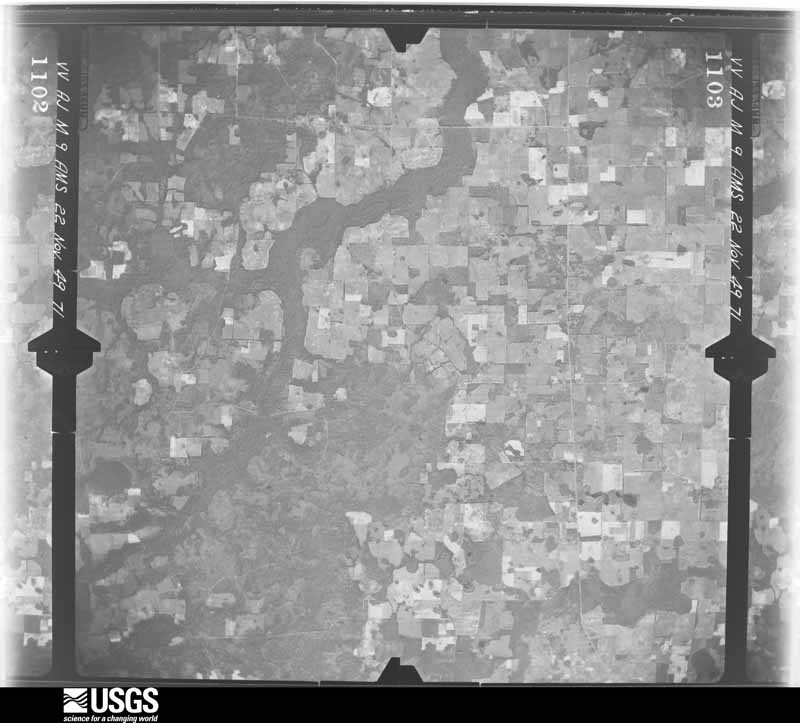
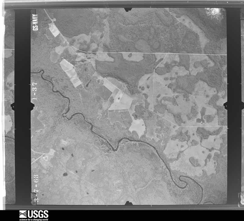
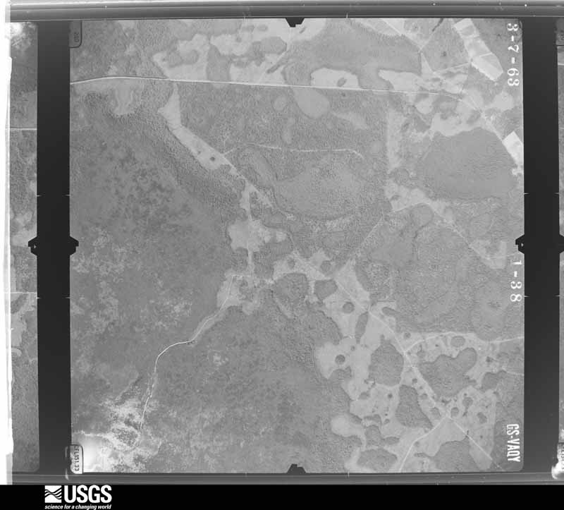
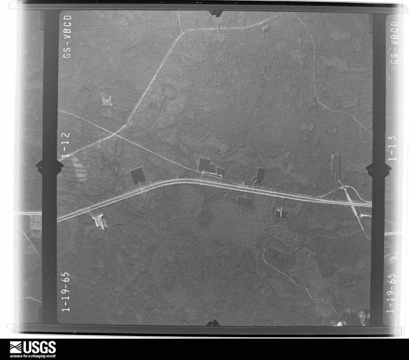
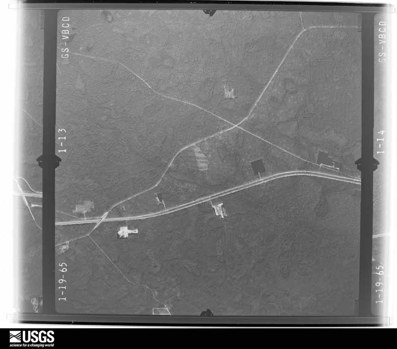
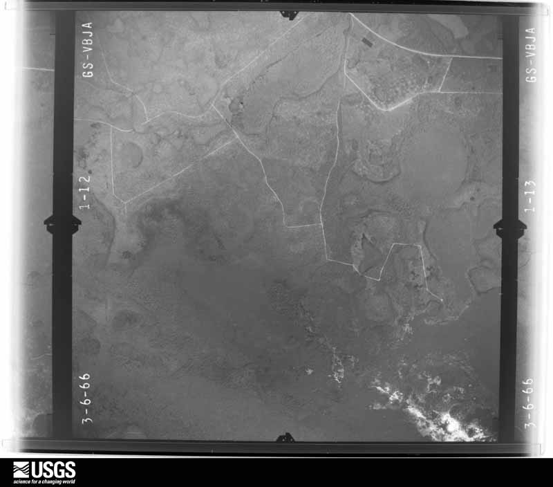
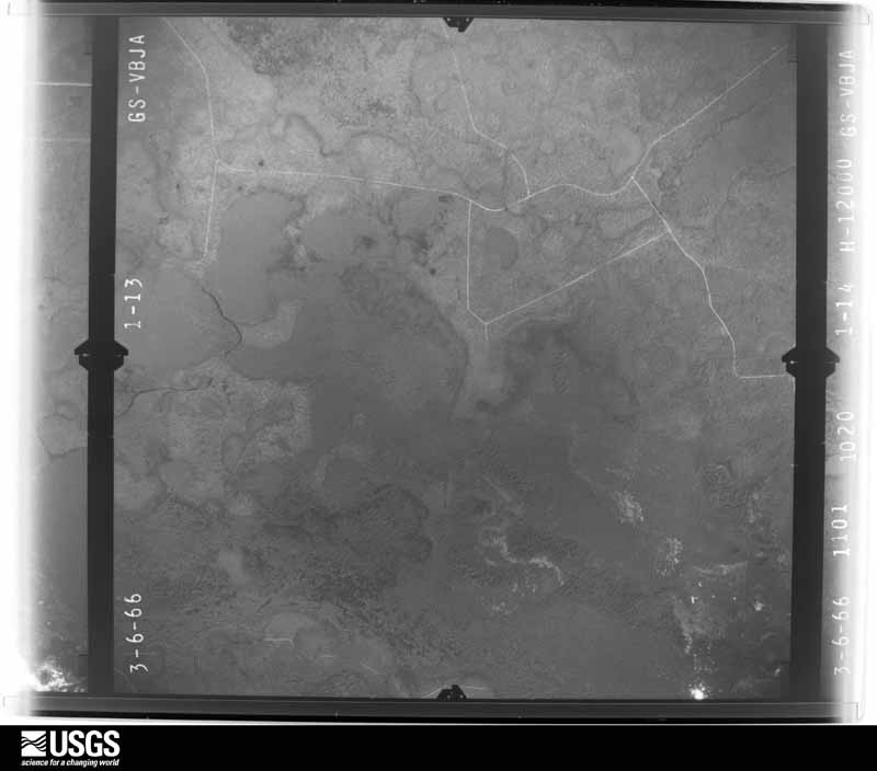
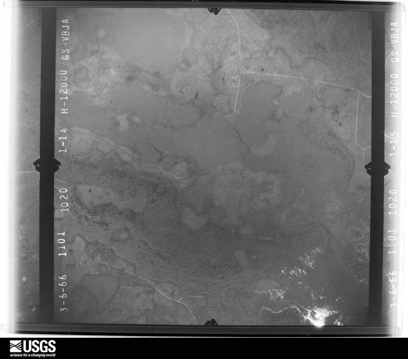
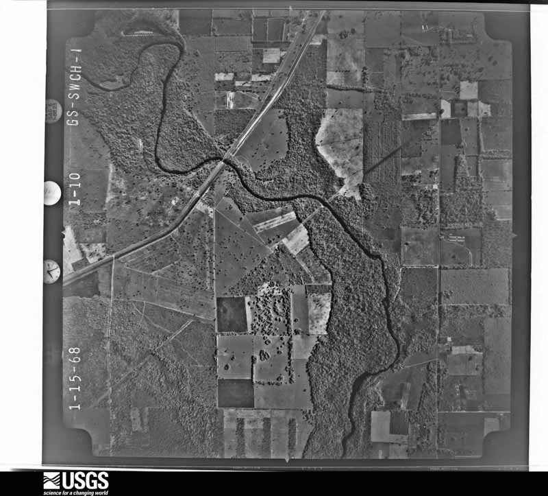
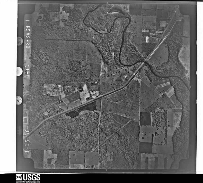
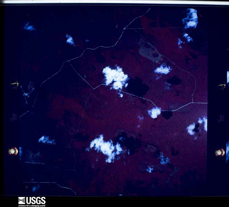
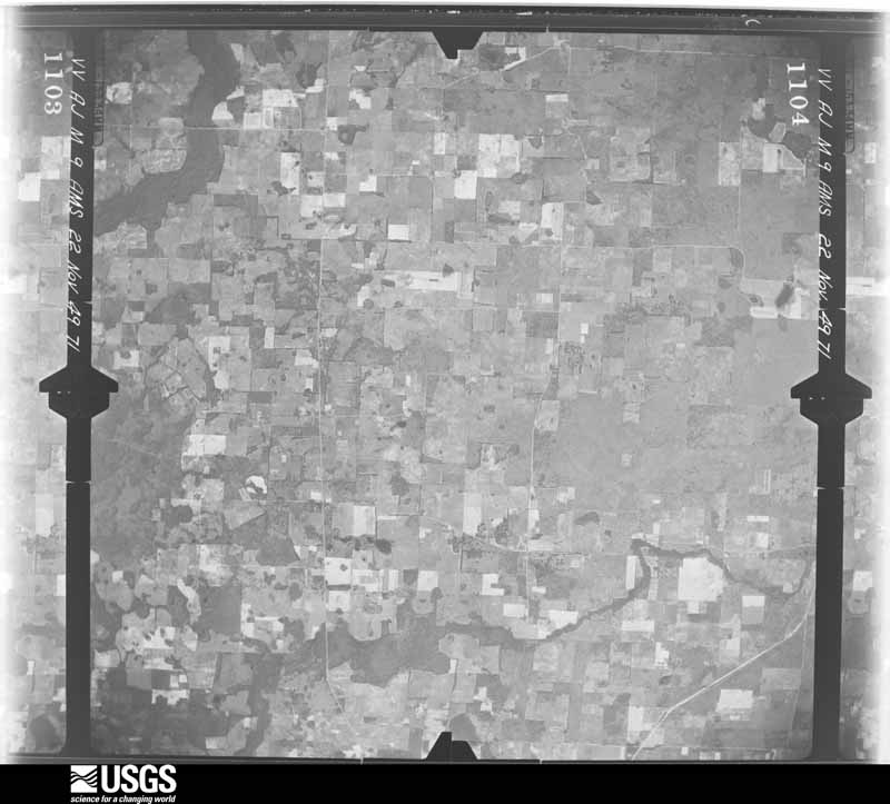
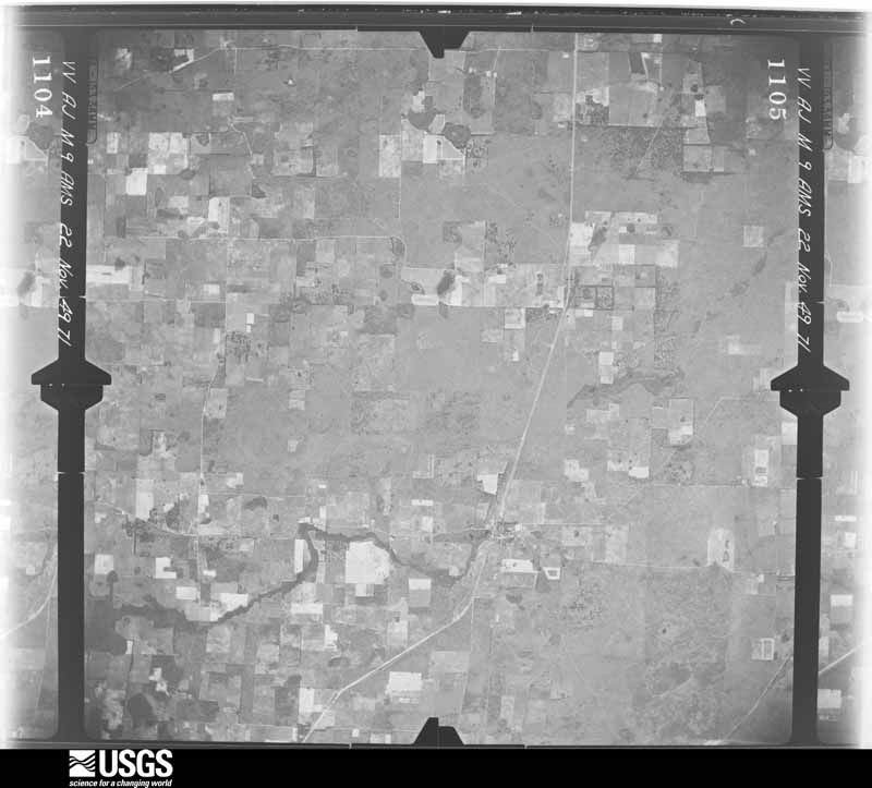
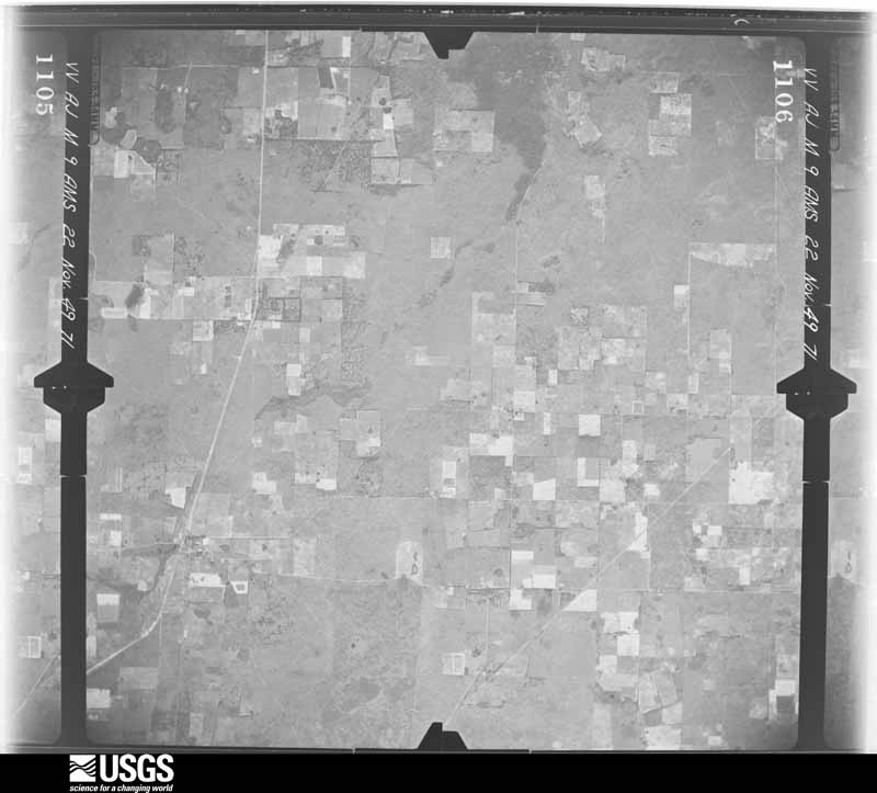
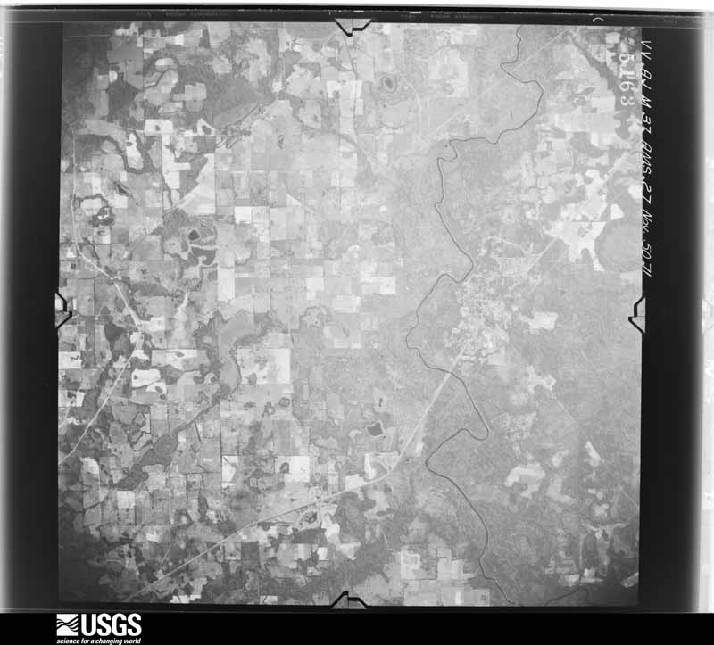
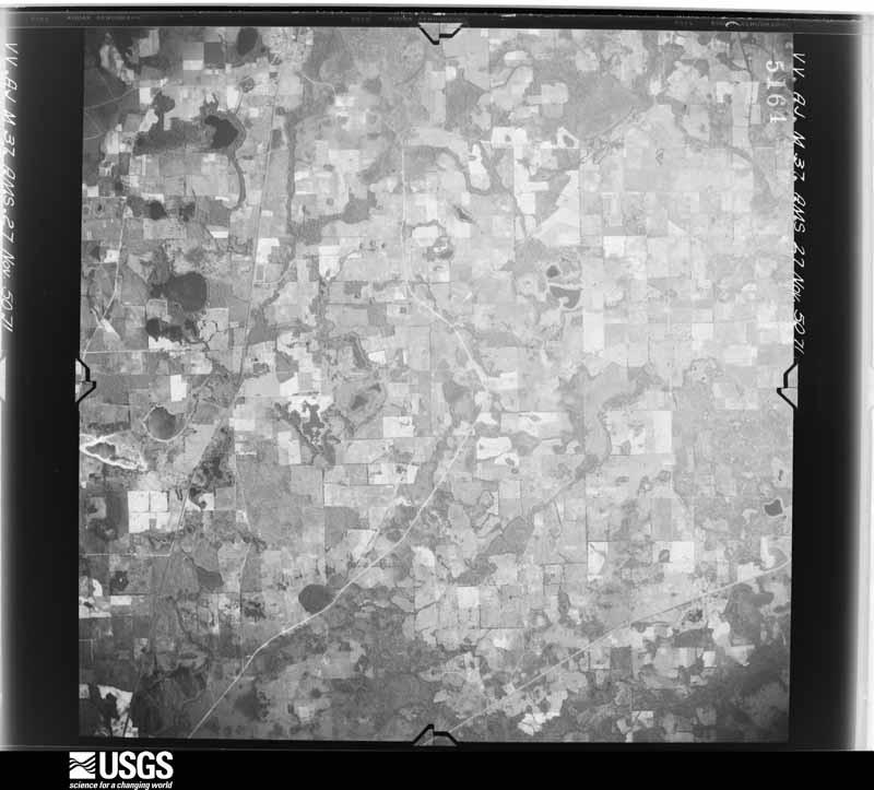
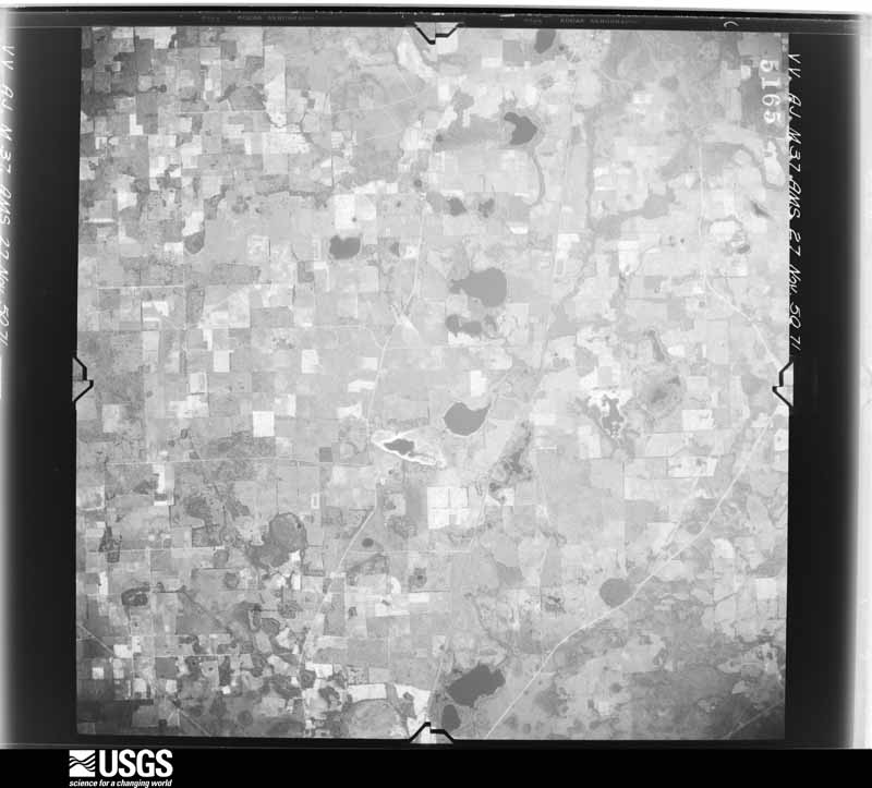
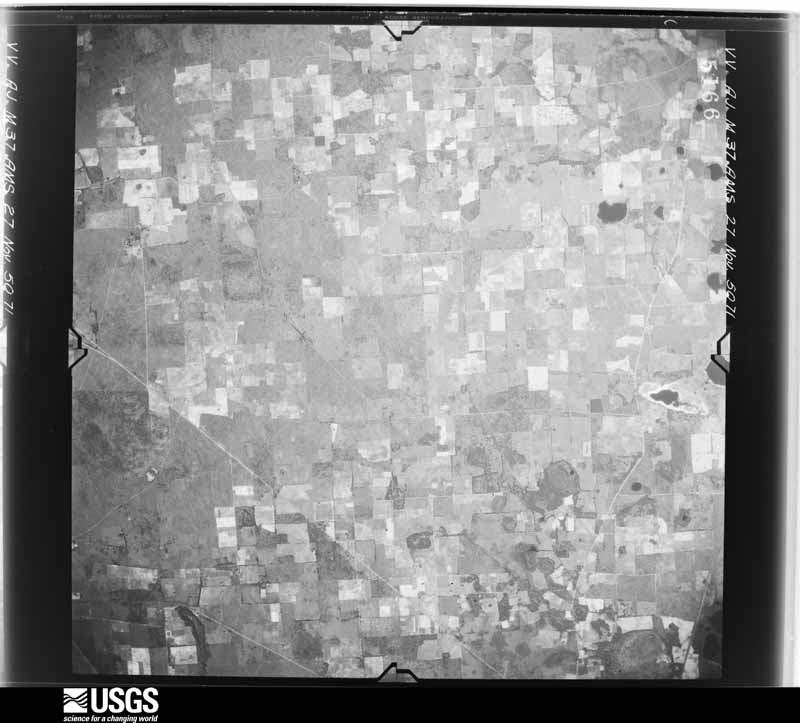
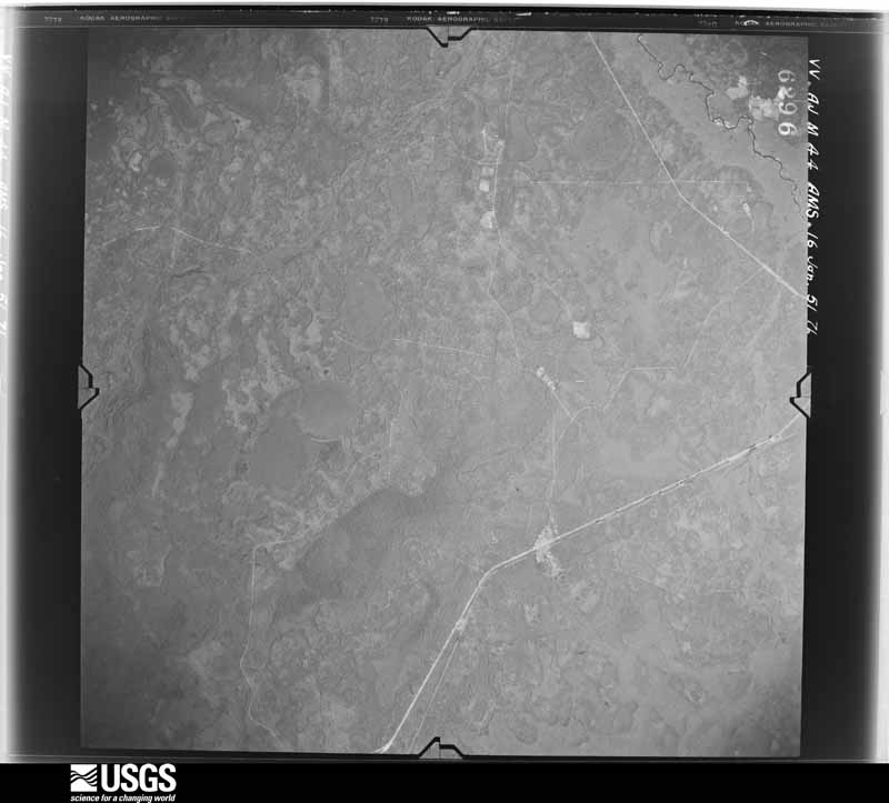
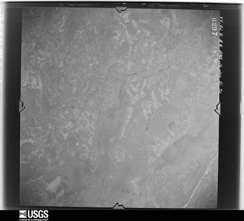
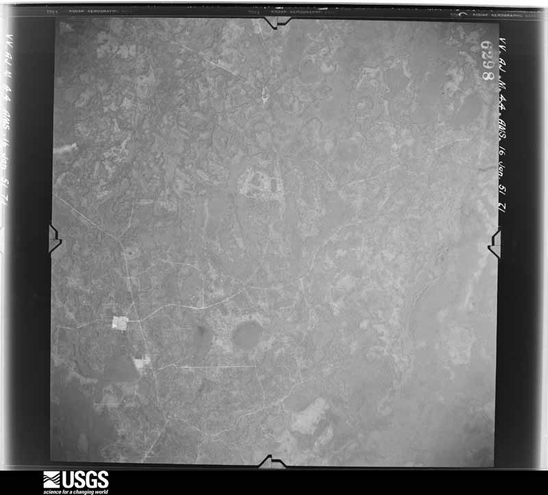
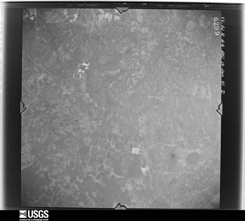
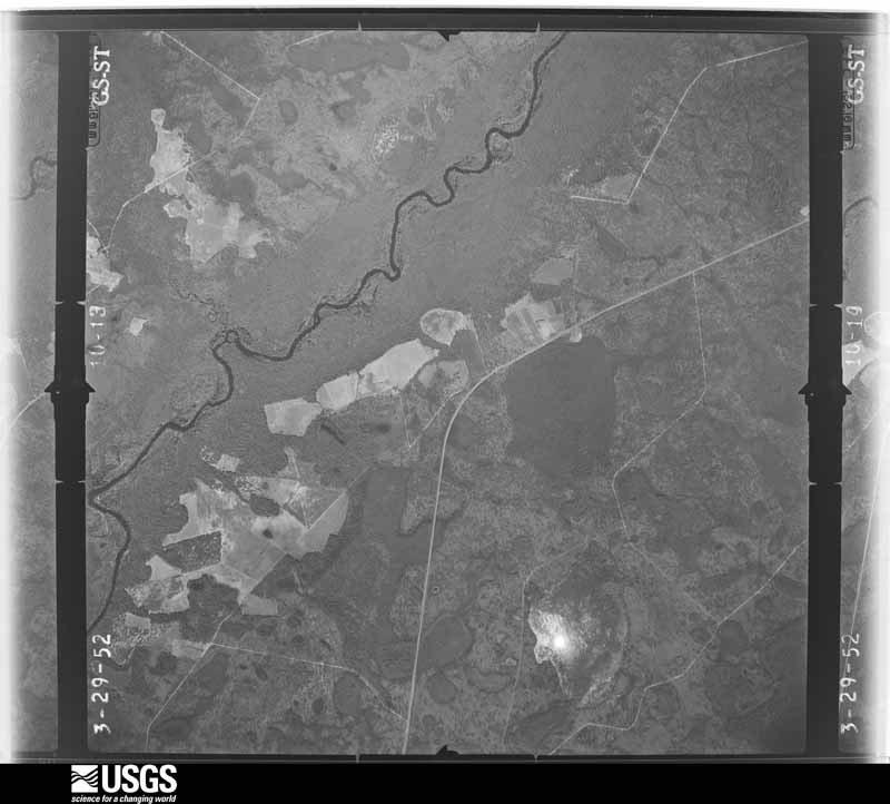
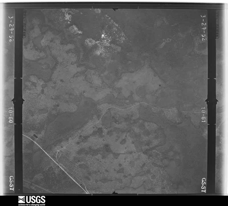
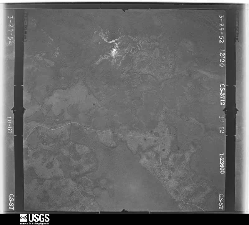
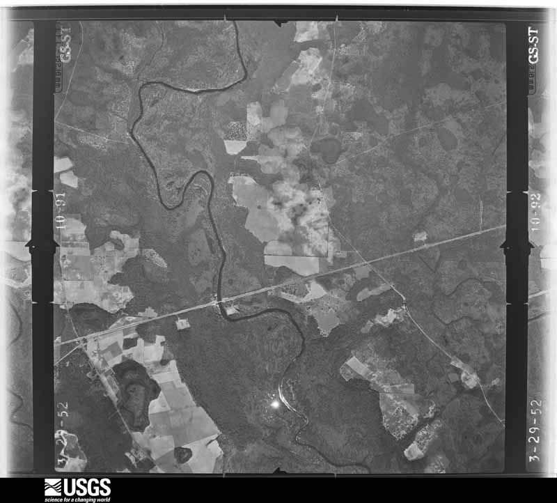
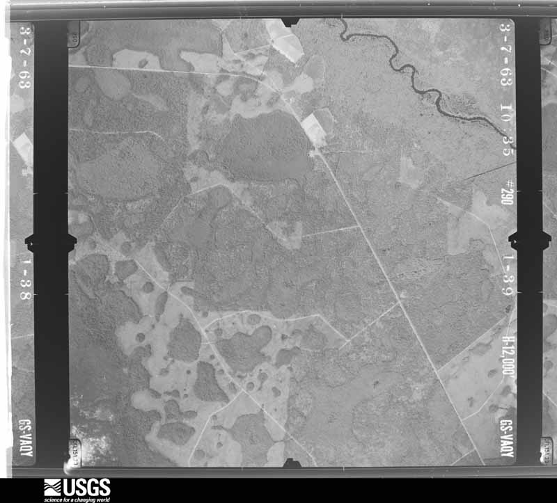
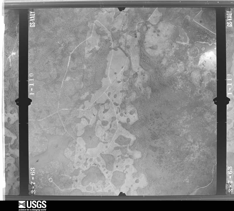
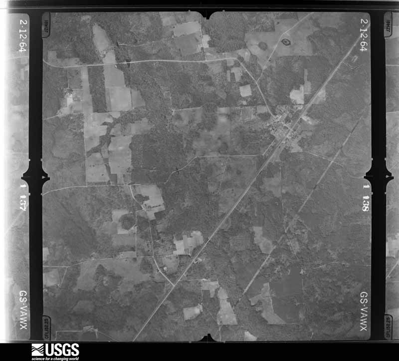
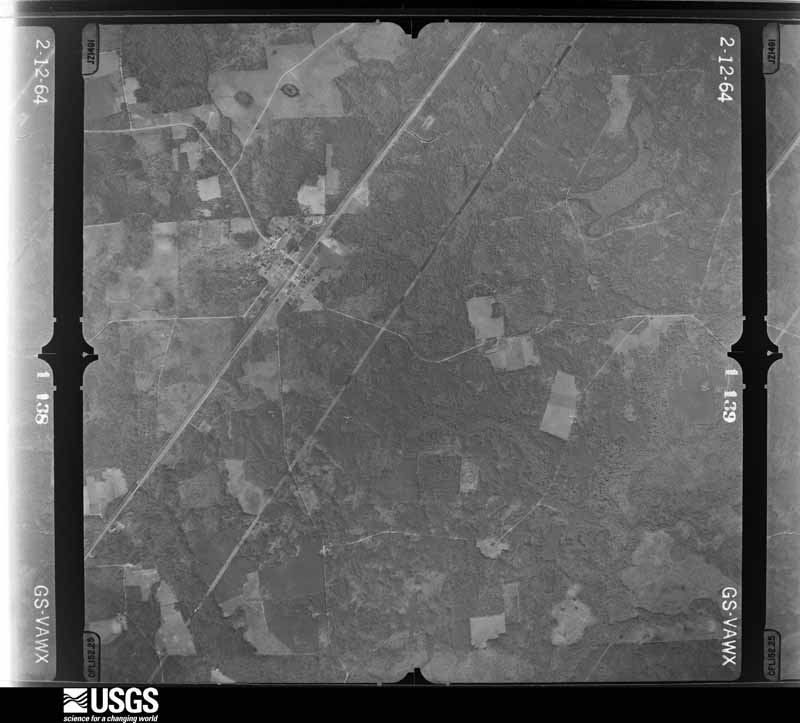
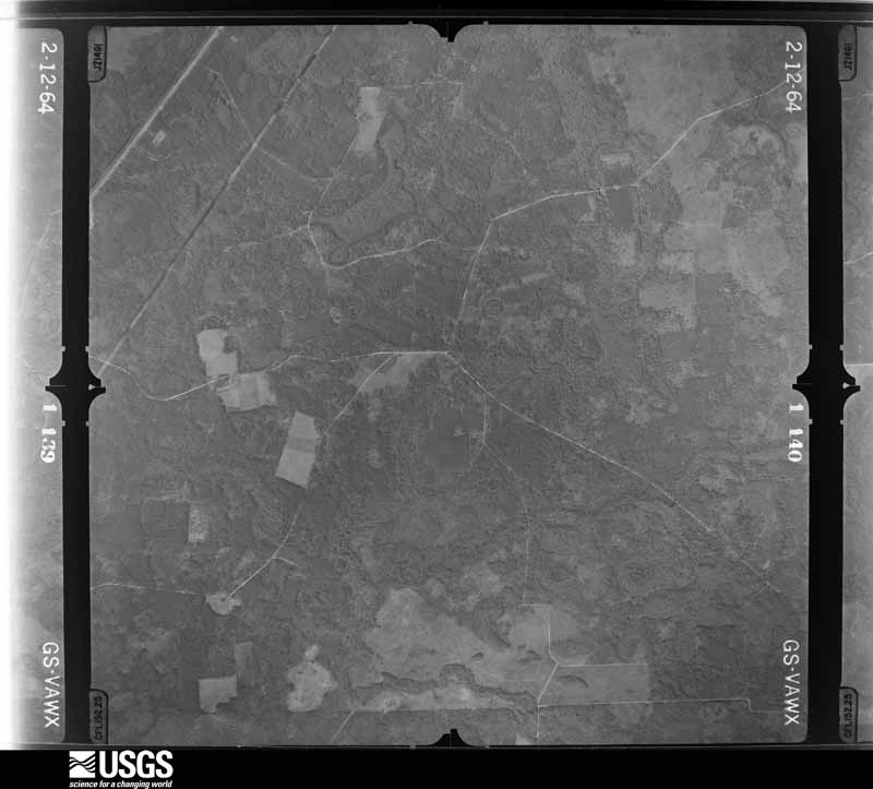
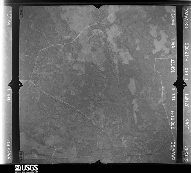
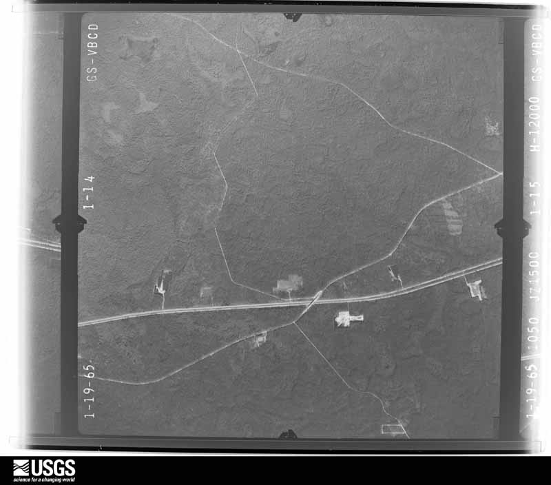
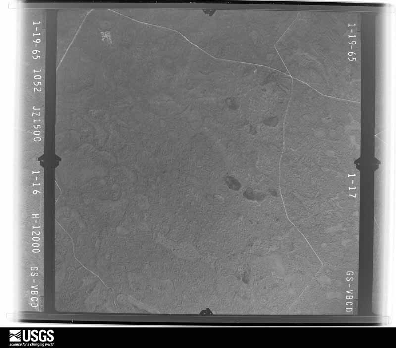
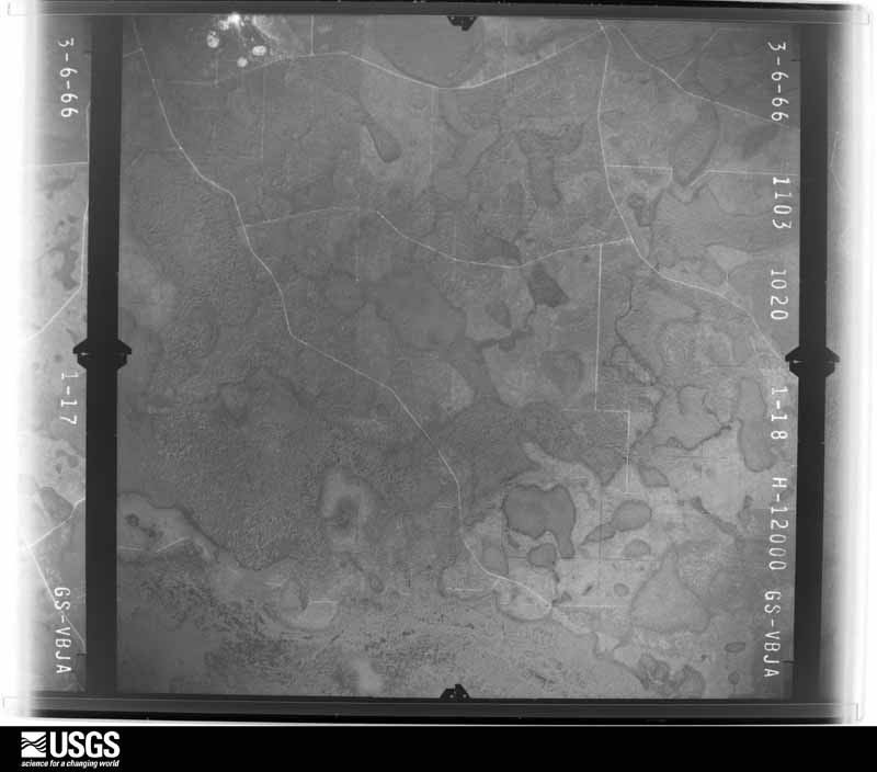
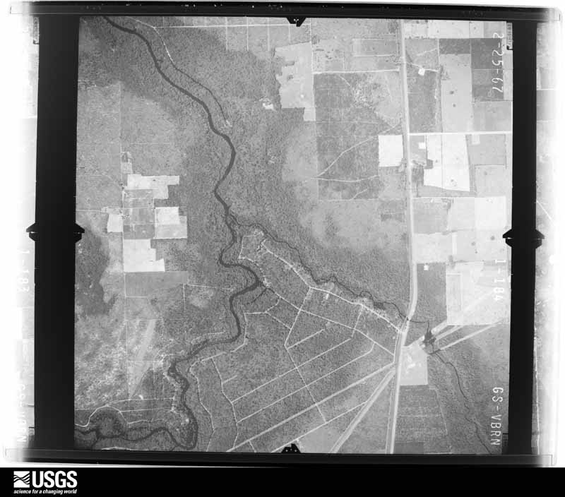
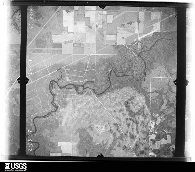
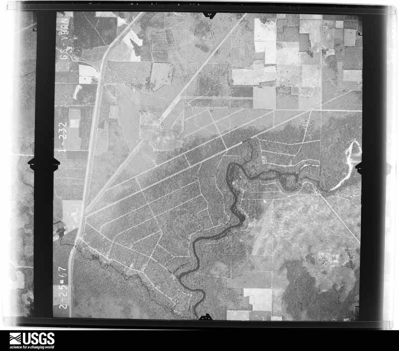
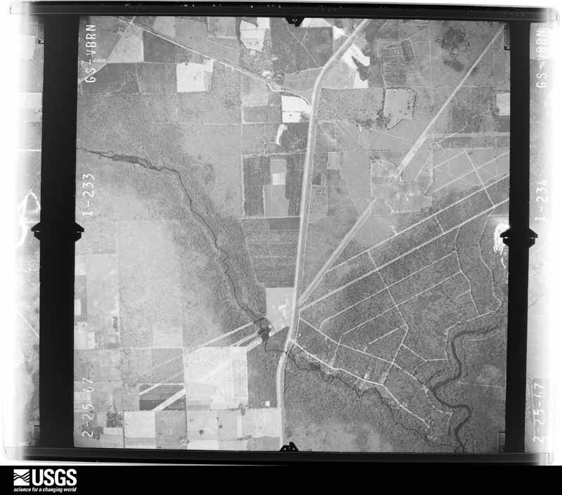
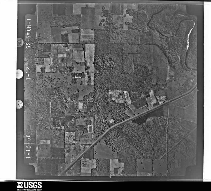
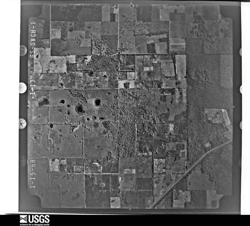
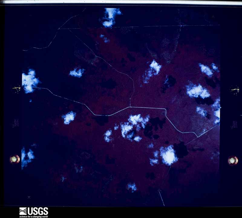
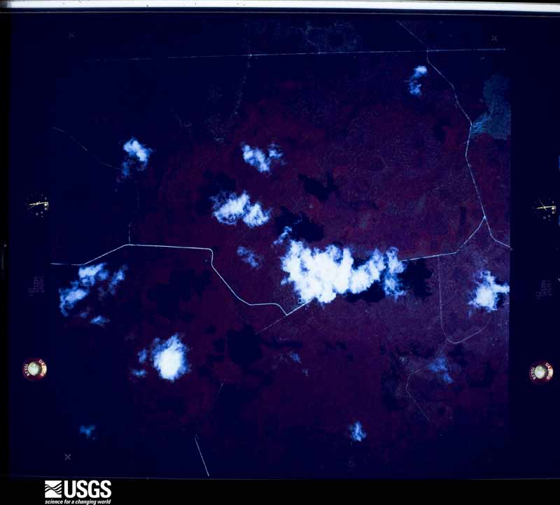
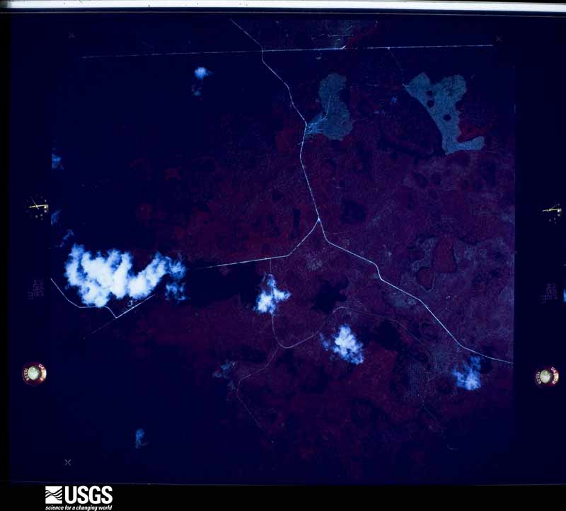
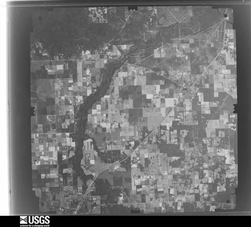
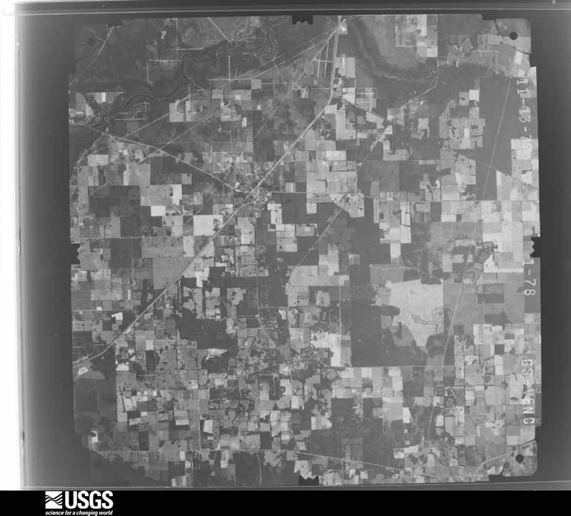
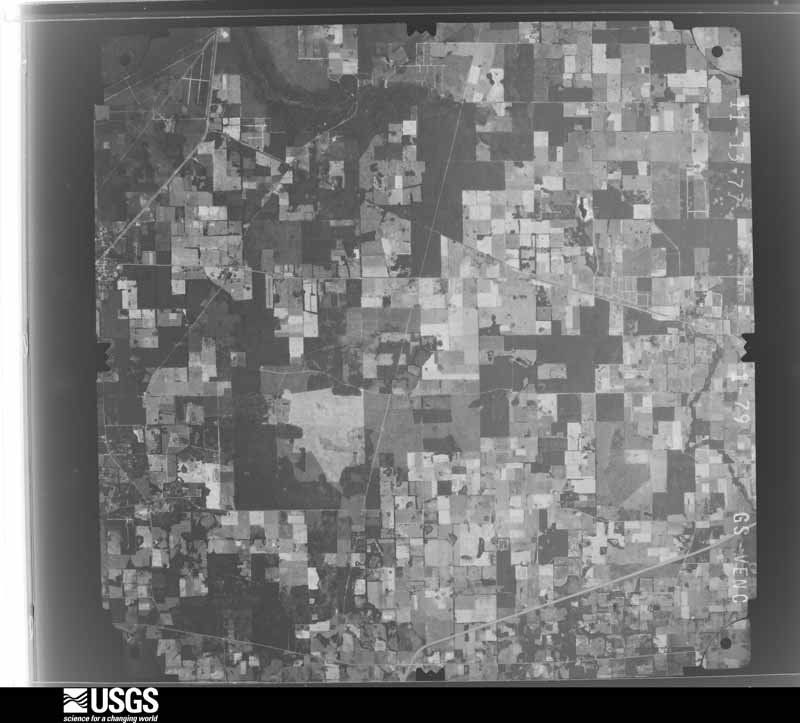
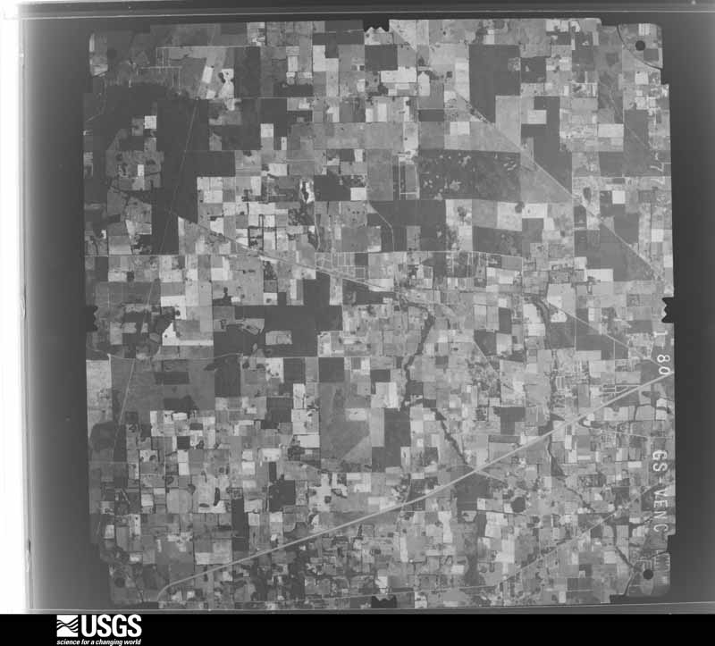
Flown by the U.S. Geological Survey between 1937 and 1989, the Aerial Photo Single Frames collection is the definitive mid-century view of the land: fields, roads and rivers as the camera saw them. The Survey holds 846 frames inside the rectangle that bounds this county; the 48 frames below were taken over the county itself, chosen across the decades of flights (at most four a year from that rectangle), so one flight cannot crowd out the rest. The full set is free to browse and download at EarthExplorer under the dataset Aerial Photo Single Frames.
The thermometers that kept this county's weather, and the gages that measured the flow of its streams, as the federal records hold them. The extremes below are measured values from those records, not estimates.
Who lived here in 1950, one enumeration district at a time, as the Census Bureau described each district. Each row opens its official National Archives result, with Population Schedules and ED Maps available there.
Every wildfire the federal occurrence database records inside this county: 2,084 of them, burning about 96,965 acres. 307 started naturally and 75 were recorded as arson. Each settlement page carries the fires within five miles of it.
| Reported cause | Fires |
|---|---|
| Debris and open burning | 598 |
| Railroad operations and maintenance | 437 |
| Natural | 307 |
| Missing data/not specified/undetermined | 299 |
| Equipment and vehicle use | 182 |
| Arson/incendiarism | 75 |
| Power generation/transmission/distribution | 72 |
| Misuse of fire by a minor | 57 |
| Recreation and ceremony | 28 |
| Smoking | 18 |
| Fireworks | 7 |
| Other causes | 4 |
The five largest, by the area the report gives. Two of them were set deliberately.
| Date | Cause | Size | Reported by | Name on the report |
|---|---|---|---|---|
| 7 March 2004 | Debris and open burning | 34,660 acres | National Forests in Florida | IMPASABLE 1 |
| 2 June 1998 | Arson/incendiarism | 20,100 acres | National Forests in Florida | OAK |
| 16 June 2011 | Natural | 11,025 acres | National Forests in Florida | IMPASSABLE BAY |
| 4 March 2000 | Debris and open burning | 6,179 acres | National Forests in Florida | BENTON |
| 9 May 2010 | Natural | 3,740 acres | National Forests in Florida | MOTHER'S DAY |
| 18 March 2017 | Arson/incendiarism | 3,008 acres | National Forests in Florida | RED FOX |
| 7 March 2000 | Equipment and vehicle use | 2,200 acres | Florida Forest Service | not named |
| 20 June 1998 | Natural | 1,000 acres | National Forests in Florida | TURKEY RUN |
Every settlement page carries the fires within five miles of it - see the settlement index below.
The NOAA Storm Events Database holds 412 reports for this county, causing 4 deaths, 24 injuries and about $8,326,100 in recorded property damage. Each settlement page carries the reports that name it.
| Kind of event | Reports |
|---|---|
| Thunderstorm Wind | 239 |
| Hail | 55 |
| Heavy Rain | 48 |
| Tornado | 25 |
| Flood | 13 |
| Lightning | 10 |
| Flash Flood | 9 |
| Wildfire | 7 |
| Funnel Cloud | 6 |
The most serious of them, by death, then injury, then recorded damage. The accounts are quoted exactly as the forecast office filed them.
| When | Event | Place named | Harm | What the report says |
|---|---|---|---|---|
| March 2008 | Tornado (EF2) | Lake City | 1 killed, 5 hurt, $4,000,000 | National Weather Service Storm Survey of the tornado track indicated most damage was EF1 scale with a small area of EF2 damage near NE Denver Street opposite a large field. Numerous Trees and power lines were snapped or blown over by the storm. Truck and trailers were also blown over in an industrial park. Nineteen homes were destroyed, twenty-one suffered major damage, and twenty had minor damage. Two businesses were destroyed with six suffering major damage. One female fatality occurred when a tree went through her mobile home. A male indirect fatality occurred when trying to connect a power generator. The mesocyclone which spanned this tornado was tracked across Taylor, Lafayette, and Suwannee Counties prior to this touchdown and it later spanned tornadoes in Baker, Charlton and Nassau Counties. |
| January 2017 | Thunderstorm Wind | Suwannee Vly | 1 killed | A large tree was blown down onto a mobile home and split the home in half near Interstate 10 and U.S. Highway 41. There was 1 fatality. There were additional reports of trees and power lines down across Lake City. The time of damage was based on radar. |
| June 2003 | Lightning | Lake City | 1 killed | Victim was driving a 1997 Toyota 4Runner eastbound on Baya Lane, when a lightning bolt struck a large pine tree. The tree fell on his vehicle and the victim was struck and killed by a branch which penetrated the front windshield. Source Gainesville Sun 6/18/03. |
| July 1996 | Lightning | Ft White | 1 killed | no account filed |
| July 1998 | Wildfire | Lake City | 4 hurt | 19,500 acres |
| May 2022 | Lightning | Lulu | 3 hurt | A person was struck by lightning near SE County Road 245, SSE of Lake City. Two others were also injured near the strike victim also injured. All three were taken to a hospital with injuries. |
| April 1983 | Tornado (F2) | not stated | 2 hurt, $2,500,000 | no account filed |
| August 1975 | Tornado (F1) | not stated | 2 hurt, $2,500 | no account filed |
| June 2001 | Lightning | Lake City | 2 hurt | no account filed |
| April 1982 | Tornado (F1) | not stated | 1 hurt, $25,000 | no account filed |
| March 1974 | Tornado (F2) | not stated | 1 hurt, $25,000 | no account filed |
| April 2024 | Thunderstorm Wind | Bass | 1 hurt | A tree fell on a single wide mobile home and caused a minor injury. The time of the event was based on radar data. Report relayed via the FL State Watch Office (FDEM). |
| January 2016 | Lightning | Lake City | 1 hurt | A teacher's aide was struck by lightning at Westside Elementary School in Lake City. It was reported that this employee was holding an umbrella and sparks were observed rising from the umbrella. Another staff member was indirectly affected by the lightning strike and reported numbness and tingling. The two were injured but released from a local hospital. |
| December 2006 | Tornado (F2) | Lulu | 1 hurt | Columbia County Emergency Management reports damage to 12 homes and one home destroyed. A business was also destroyed. Extensive damage was reported in the community of Woodborough along Scenic Lake drive as well as along Moore road northwest of Lake City. One minor injury was reported with minor lacerations. |
| May 1999 | Wildfire | Countywide | 1 hurt | Reported three (3) new fires. The first at Charles Road and Highway 242. No report on amount of acreage consumed. A second fire at Highway 247 at Cypress Lake Road burned one (1) acre. The third fire at Highway 247 at Cardinal Road burned an unknown number of acres. |
| November 1995 | Tornado (F1) | Lake City | $500,000 | One barn was destroyed with minor to moderate damage to 20 buildings. |
| February 1960 | Tornado (F3) | not stated | $250,000 | no account filed |
| September 2014 | Flash Flood | Winfield | $200,000 | Widespread flooding caused numerous road closures and flooded approximately 5-6 homes. One flooded home was located at SW Fedora Way, and residents used canoes and kayaks to travel streets. There was about 1 foot of standing water inside the home. Portions of Interstate 10 near mile marker 296 were closed due to flooded roads. Columbia City Public Works installed pumps at the intersection of Nightshade and Broadleaf Drives due to flooded roads and water nearing homes. Portions of State Road 47 just south of Watson Road were covered in several inches of standing waters. |Radar estimated about 8-13 inches between Lake City and Columbia, just south of Lake City. The cost of property damage is unknown at this time. The cost of damage was estimated for inclusion of this event in Storm Data. |
| September 2014 | Flash Flood | Country Club Estates | $100,000 | A survey revealed flash flooding caused a home off of SW Edward Terrace was flooded out (about 2 inches of water in the home) with sewage in the backyard. This occurred around 7 am. Around 6 am, a retention pone was flooded out and surrounded several homes off of SW Nightshade Drive about 3 miles NE of the city of Columbia. Around the same time, another retention pond off of Fall Court surpassed bankfull and flooded a garage. Several inches of flood water covered roadways throughout Columbia county. The cost of damage was unknown, but a value was estimated for the event to be included in Storm Data. |
| June 2012 | Flood | Winfield | $100,000 | At 7:26 am the park service reported a 24-hour rainfall total of 4.1 inches about 2 miles east of Lake City. At 9 am on 6/25, law enforcement reported eastbound Interstate 10 at mile marker 301 was closed due to high flood waters. At 9:15 am that morning, law enforcement reported U.S. Highway 41 southbound was closed near Interstate 10 due to flood waters. At 9 pm, law enforcement reported Interstate 10 eastbound at mile marker 301 was closed due to standing flood waters. At 8:16 am on 6/26, a co-operative observer reported a 24 hour rainfall total of 8.77 inches in Lake City. On 6/28 at 3:57 pm, the public reported a monthly rainfall total of 27.55 inches with 19.99 inches between the 23rd-26th about 5 miles northeast of Ichetucknee Springs. The cost of damage was estimated, and is likely greatly under estimated. |
| August 2000 | Thunderstorm Wind | Ft White | $55,000 | Eight homes and one vehicle damaged. |
| November 1995 | Thunderstorm Wind | Lake City | $55,000 | Trees were blown across U.S. 90 East and across Highway 47 south of CR-240. One home was left in shambles and was almost totally destroyed. |
| August 2000 | Thunderstorm Wind | Lake City | $50,000 | Roof blown off home. |
| April 2023 | Thunderstorm Wind | Lake City | $35,000 | A tree was blown down onto a single-wide mobile home destroying much of the home along NW Klondike Glen. The family was displaced. The cost of damage was estimated but officially unknown. The time of damage was based on radar data. |
| June 2022 | Thunderstorm Wind | Lake City | $35,000 | Columbia county EM reported a large tree snapped at the trunk and fell onto a single wide mobile home in Deer Run Mobile Home Park. The mobile home sustained considerable damage with a whole section of roof and walls completely collapsed. No one was inside the home during the event. |
| June 1996 | Lightning | Lake City | $25,000 | no account filed |
| January 1980 | Tornado (F0) | not stated | $25,000 | no account filed |
| August 1975 | Tornado (F1) | not stated | $25,000 | no account filed |
| February 1975 | Tornado (F0) | not stated | $25,000 | no account filed |
| May 1951 | Tornado | not stated | $25,000 | no account filed |
| February 1998 | Flash Flood | Lake City | $20,000 | Numerous road were closed due to flooding. |
| March 2001 | Thunderstorm Wind | Lake City | $15,000 | Large trees and power lines were blown down. One house damaged. |
| August 1999 | Thunderstorm Wind | Lake City | $15,000 | Several buildings damaged. |
| June 1998 | Thunderstorm Wind | Columbia | $15,000 | Large trees and power lines were blown down. |
| June 2015 | Lightning | Lake City | $10,000 | Lightning caused a mobile home fire. The cost of damage was estimated for the event to be included in Storm Data. |
| June 2012 | Flash Flood | Winfield | $10,000 | A couple of homes were under water about 12 miles south of the Suwannee River. The cost of damaged was estimated and is likely underestimated. |
| March 2001 | Thunderstorm Wind | Lake City | $10,000 | Trees down on roadway. Tree down on car. |
| July 2023 | Thunderstorm Wind | Watertown | $5,000 | A downed tree damaged a mobile home near the Lake City Gateway Airport. The time of damage was based on radar. The cost of damage was unknown, but it was estimated for inclusion of the event in Storm Data. |
| June 2020 | Thunderstorm Wind | Columbia | $5,000 | A large tree was uprooted and fell on a structure on County Road 240 west of State Road 47. The cost of damage was estimated for Storm Data. |
| February 2017 | Thunderstorm Wind | Lake City | $5,000 | Two homes had trees down on them. Several power lines were blown down. The time of damage was based on radar. The cost of damage was unknown but estimated for the event to be included in Storm Data. |
| July 2016 | Thunderstorm Wind | Columbia | $5,000 | Multiple trees and power lines were blown down by Bishop Road and State Road 47. The time of damage was based on radar. The cost of damage was unknown but estimated for the event to be included in Storm Data. |
| January 2007 | Thunderstorm Wind | Ft White | $5,000 | Trees down off of U.S. Highway 27 reported by Oleno State Park. |
| November 2002 | Thunderstorm Wind | Lake City | $5,000 | Several large trees down across roadways and power lines. |
| March 2000 | Thunderstorm Wind | Lake City | $5,000 | Roof damage to mobile home. |
| July 2000 | Thunderstorm Wind | Lake City | $5,000 | Mobile home damaged. |
| February 1999 | Thunderstorm Wind | Lake City | $5,000 | Auto parts store had roof damage. |
| December 1997 | Tornado (F0) | Lake City | $5,000 | Large trees and power lines were blown down. |
| June 1994 | Thunderstorm Wind | Lake City | $5,000 | Roof blown off a mobile home in Lake City. |
| June 2001 | Thunderstorm Wind | Benton | $4,500 | Large trees and power lines were blown down. |
| April 2015 | Thunderstorm Wind | Bass | $4,000 | A tree fell on a home on Southwest Pinemount Road. The cost of damage was unknown, but estimated for the event to be included in Storm Data. |
| July 2001 | Thunderstorm Wind | Lake City | $3,500 | Large trees and power lines were blown down. |
| March 2000 | Thunderstorm Wind | Ft White | $3,500 | Large trees and power lines were blown down. Mobile home roof damage. |
| August 1999 | Thunderstorm Wind | Lake City | $3,500 | Large trees and power lines were blown down. |
| June 1998 | Thunderstorm Wind | Columbia | $3,500 | Large tree and power lines were blown down. Two buildings with roof damage. |
| July 2016 | Thunderstorm Wind | Lake City | $3,000 | A tree was blown down on a home off of NW Klondike Glen. The time of damage was based on radar. The cost of damage was unknown, but it was estimated so the event could be included in Storm Data. |
| June 2010 | Thunderstorm Wind | Watertown | $3,000 | Two trees fell down on two separate homes near the intersection of North Craig Street and the Jacksonville Loop. The cost of damage was estimated. |
| March 2000 | Flash Flood | Countywide | $3,000 | Numerous roads closed. |
| February 2000 | Thunderstorm Wind | Lake City | $3,000 | Large trees and power lines were blown down. |
| March 2001 | Thunderstorm Wind | Lake City | $2,500 | Large trees and power lines were blown down. |
| February 2000 | Thunderstorm Wind | Ft White | $2,500 | Large trees and power lines were blown down. |
The Survey's mineral resources record lists 9 workings inside this county. 3 still produce and 6 are closed or unrecorded. Each settlement page carries the workings within five miles of it.
| Commodity | Workings |
|---|---|
| Phosphorus-Phosphates | 6 |
| Limestone, General | 3 |
| Uranium, Iron, Magnesite, Aluminum, Fluorine-Fluorite | 2 |
| Uranium, Magnesite, Iron, Aluminum, Fluorine-Fluorite | 2 |
| Aluminum, Fluorine-Fluorite, Iron, Magnesite, Uranium | 1 |
| Magnesite, Iron, Aluminum, Fluorine-Fluorite, Uranium, Water, Free | 1 |
The least common of them first, because a county's hundredth gravel pit says nothing its first ten did not.
| Where | Site | Commodity | Status | Recorded |
|---|---|---|---|---|
| Columbia County # 1 Deposit | Phosphorus-Phosphates, Magnesite, Iron, Aluminum, Fluorine-Fluorite, Uranium, Water, Free | Prospect | ||
| North Columbia Deposit | Phosphorus-Phosphates, Aluminum, Fluorine-Fluorite, Iron, Magnesite, Uranium | Prospect | Chemical Sediment, Marine | |
| Deep Creek | Phosphorus-Phosphates, Uranium, Magnesite, Iron, Aluminum, Fluorine-Fluorite | Prospect | 1960 | |
| North Columbia County #2 | Phosphorus-Phosphates, Uranium, Magnesite, Iron, Aluminum, Fluorine-Fluorite | Prospect | 1966 | |
| North Lake City | Phosphorus-Phosphates, Uranium, Iron, Magnesite, Aluminum, Fluorine-Fluorite | Prospect | 1962 | |
| Osceola National Forest | Phosphorus-Phosphates, Uranium, Iron, Magnesite, Aluminum, Fluorine-Fluorite | Prospect | 1965 | |
| Anderson Mining Corporation - Columbia City | Limestone, General | Producer | Limestone | |
| Anderson-Columbia City Mine | Limestone, General | Producer | Limestone | |
| Limerock Industries - Columbia City/Kirby Mine | Limestone, General | Producer | Limestone |
Named settlements recorded in the Geographic Names Information System, each with the topographic sheets covering it. Villages, hamlets and abandoned places alike. Each is shown with the nearest named watercourse or landform and the survey quadrangle it falls on.
Lake City census division · 32024 · On Clay Hole Creek · Columbia quadrangle
8 sheets, 1954 to 1981
Lake City census division · 32024 · On Rose Creek · Columbia quadrangle
8 sheets, 1954 to 1981
Lake City census division · 32025 · Lake City West quadrangle
8 sheets, 1954 to 1981
No longer a settlement
Fort White census division · 32038 · High Springs SW quadrangle
10 sheets, 1954 to 1981
Fort White census division · 32024 · On Hammock Branch · Mikesville quadrangle
10 sheets, 1954 to 1981
Lake City census division · 32055 · Lake City West quadrangle
8 sheets, 1954 to 1981
Lake City census division · 32024 · Lake City West quadrangle
8 sheets, 1954 to 1981
Lake City census division · 32055 · White Springs West quadrangle
9 sheets, 1954 to 1981
Lake City census division · 32055 · On Falling Creek · White Springs East quadrangle
9 sheets, 1954 to 1981
Lake City census division · 32055 · On Falling Creek · White Springs East quadrangle
9 sheets, 1954 to 1981
Fort White census division · 32038 · Fort White quadrangle
10 sheets, 1954 to 1981
No longer a settlement
The vanished settlements of Columbia County: the places named above that are no longer on the map.