 Block
BlockWinfield, Florida
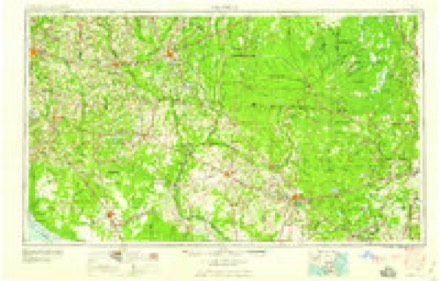
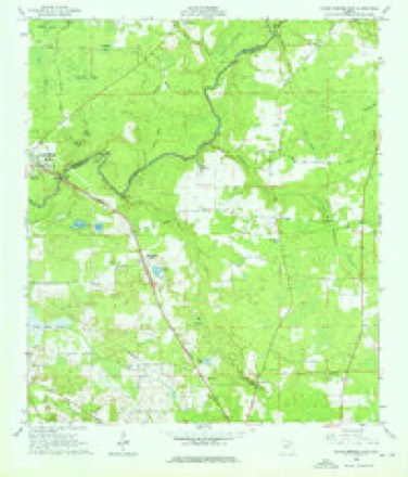
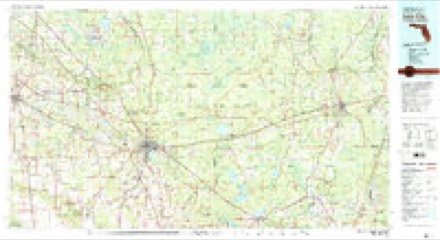
9 topographic sheets cover this place, the earliest surveyed in 1954 and the latest in 1981. It stands in the Lake City census division. It lies in ZIP code area 32055. It stands on Falling Creek. The Survey maps it on the White Springs East quadrangle.
Then and now
1954 to 1981The same ground, surveyed 27 years apart. Drag the handle to wipe between them. Both sheets are United States Geological Survey originals; neither has been altered.
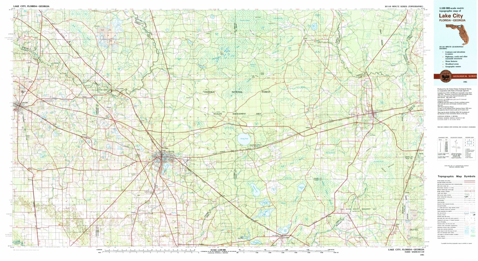
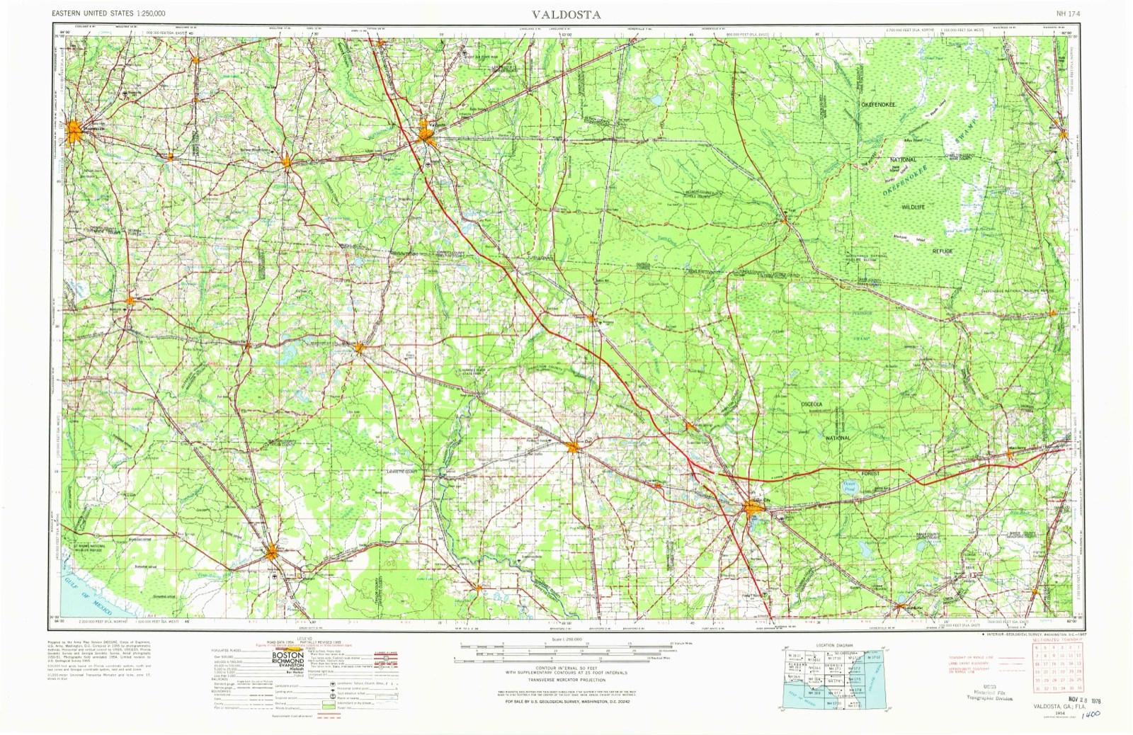
Topographic sheets covering this place
5 surveys from 9 printed sheetsMatched by testing this settlement's coordinate against the published boundary of every sheet in the United States Geological Survey's historical collection. Each opens the scanned sheet at the Survey.
- 1954 USGS Valdosta quadrangle1:250000, 2 printings
- 1958 USGS Valdosta quadrangle1:250000
- 1959 USGS Valdosta quadrangle1:250000
- 1961 USGS White Springs East quadrangle1:24000, 3 printings
- 1981 USGS Lake City quadrangle1:100000, 2 printings
Fires near this place
331 since 1992Regional context, not property-specific evidence. The federal wildfire occurrence database lists 331 fires within 5 miles of Winfield between 1992 and 2020, burning about 651 acres in total. 12 started naturally. 12 were recorded as arson. Distance is straight-line from the map coordinates, so a fire counted here may appear on a neighbouring settlement's page as well.
| Reported cause | Fires |
|---|---|
| Debris and open burning | 122 |
| Railroad operations and maintenance | 88 |
| Missing data/not specified/undetermined | 45 |
| Equipment and vehicle use | 26 |
| Arson/incendiarism | 12 |
| Natural | 12 |
| Misuse of fire by a minor | 9 |
| Power generation/transmission/distribution | 8 |
| Recreation and ceremony | 5 |
| Other causes | 2 |
| Fireworks | 1 |
| Smoking | 1 |
The most recent of them, most recent first, with the day each was reported and the service that recorded it.
| Date | Cause | Size | Reported by | Name on the report |
|---|---|---|---|---|
| 8 September 1994 | Equipment and vehicle use | 4.0 acres | Florida Forest Service | not named |
| 6 September 2010 | Debris and open burning | 1.5 acres | Florida Forest Service | 06-12-PILLSBURY FIRE-1242 |
| 29 September 1997 | Railroad operations and maintenance | under an acre | Florida Forest Service | not named |
| 25 September 2006 | Debris and open burning | 1.0 acres | Florida Forest Service | 06-12-JOEY LAND FIRE-1400 |
| 23 September 2002 | Railroad operations and maintenance | under an acre | Florida Forest Service | not named |
| 21 September 1997 | Railroad operations and maintenance | under an acre | Florida Forest Service | not named |
| 16 September 2019 | Debris and open burning | under an acre | Florida Forest Service | MCCALL TERR (12) |
| 10 September 1999 | Railroad operations and maintenance | under an acre | Florida Forest Service | not named |
Settlements close enough to share some of these fires:
Storms near this place
36 since 1997Regional context, not property-specific evidence. The National Weather Service names Winfield in 36 storm reports between 1997 and 2024: 23 thunderstorm wind, 8 heavy rain, 2 flash flood, 1 hail. No death or injury is recorded in these reports. Each account below is quoted exactly as the forecast office filed it, from the NOAA Storm Events Database, and each date opens the federal record of that event.
| When | Event | Place named | Harm | What the report says |
|---|---|---|---|---|
| September 2014 | Flash Flood | Winfield | $200,000 | Widespread flooding caused numerous road closures and flooded approximately 5-6 homes. One flooded home was located at SW Fedora Way, and residents used canoes and kayaks to travel streets. There was about 1 foot of standing water inside the home. Portions of Interstate 10 near mile marker 296 were closed due to flooded roads. Columbia City Public Works installed pumps at the intersection of Nightshade and Broadleaf Drives due to flooded roads and water nearing homes. Portions of State Road 47 just south of Watson Road were covered in several inches of standing waters. |Radar estimated about 8-13 inches between Lake City and Columbia, just south of Lake City. The cost of property damage is unknown at this time. The cost of damage was estimated for inclusion of this event in Storm Data. |
| June 2012 | Flood | Winfield | $100,000 | At 7:26 am the park service reported a 24-hour rainfall total of 4.1 inches about 2 miles east of Lake City. At 9 am on 6/25, law enforcement reported eastbound Interstate 10 at mile marker 301 was closed due to high flood waters. At 9:15 am that morning, law enforcement reported U.S. Highway 41 southbound was closed near Interstate 10 due to flood waters. At 9 pm, law enforcement reported Interstate 10 eastbound at mile marker 301 was closed due to standing flood waters. At 8:16 am on 6/26, a co-operative observer reported a 24 hour rainfall total of 8.77 inches in Lake City. On 6/28 at 3:57 pm, the public reported a monthly rainfall total of 27.55 inches with 19.99 inches between the 23rd-26th about 5 miles northeast of Ichetucknee Springs. The cost of damage was estimated, and is likely greatly under estimated. |
| June 2012 | Flash Flood | Winfield | $10,000 | A couple of homes were under water about 12 miles south of the Suwannee River. The cost of damaged was estimated and is likely underestimated. |
| June 2023 | Thunderstorm Wind | Winfield | $2,000 | A large tree was uprooted and fell on a home along NW Irene Lane. The extent of damage was unknown but it was estimated for the event to be included in Storm Data. The time of damage was based on radar. |
| January 2017 | Thunderstorm Wind | Winfield | $2,000 | A tree was blown down on home on NW Moore Road. The time of damage was based on radar. The cost of damage was estimated for inclusion of the event in Storm Data. |
| January 2017 | Thunderstorm Wind | Winfield | $2,000 | Trees and power lines were blown down along the Interstate 10 corridor from mile marker 298 to mile marker 301, which was just east of the I-10/I-75 interchange and near the U.S. Highway 441 exit off of interstate 10. Time of damage was based on radar imagery. The cost of damage was unknown but estimated for the event to be included in Storm Data. |
| September 1997 | Thunderstorm Wind | Winfield | $1,500 | Large trees and power lines were blown down along US-41. |
| June 2023 | Thunderstorm Wind | Winfield | $500 | Power lines and trees were damaged by winds. The cost of damage was estimated for inclusion of the event in Storm Data. |
| June 1998 | Thunderstorm Wind | Winfield | $500 | Large trees were blown down. |
| May 2024 | Thunderstorm Wind | Winfield | - | About 20% of the county was without power due to wind damage to trees and utility equipment across the county. |
| February 2021 | Tornado (EF0) | Winfield | - | A tornadic storm developed in a discrete supercell in advance of an approaching cold front and south of a lifting warm front. The tornado impacted areas east of Lake Wilson. Sporadic wind damage including damaged trees, fences, roofs and some other residential home damage occurred. Tree debris was strewn throughout the tornado path. Roof damage included that done to tile roofs near High Point Drive. A fence panel was blown about 750 ft from its original location. |
| February 2021 | Thunderstorm Wind | Winfield | - | A couple of structures had roof damage. Some fencing was blown through the window of a home. The time of damage was based on radar. |
| June 2020 | Thunderstorm Wind | Winfield | - | A tree was blown down near NE Triple Run Road. |
| June 2020 | Thunderstorm Wind | Winfield | - | A tree was blown down at 2899 NW Moore Drive. The time of damage was based on radar. |
| April 2019 | Thunderstorm Wind | Winfield | - | EM storm survey at 157 SW Endeavor Court reported severe thunderstorm wind damage to the property. A tree was blown down onto private residence, and there were several power lines blown down across the area. |
| July 2019 | Heavy Rain | Winfield | - | About 2 inches of rainfall was measured in 1 hour near US Highway 41 and NW Dicks Road. |
| July 2019 | Heavy Rain | Winfield | - | Two inches of rainfall was measured in 50 minutes near I-10 and Highway 41. |
| July 2019 | Heavy Rain | Winfield | - | The public measured 6 inches of rainfall in the past 2 hours near the intersection of I-10 and Highway 41 North. |
| June 2018 | Heavy Rain | Winfield | - | Two inches of rainfall was measured in less than 1 hour. |
| June 2018 | Thunderstorm Wind | Winfield | - | A tree fell on power lines at mile marker 432 on Interstate 75. |
| July 2017 | Heavy Rain | Winfield | - | A spotter measured 2.8 inches of rain in 45 minutes. |
| July 2017 | Heavy Rain | Winfield | - | An observer measured 7 inches of rainfall since 9 am. |
| June 2016 | Heavy Rain | Winfield | - | A spotter measured 2.5 inches in one hour. |
| August 2016 | Heavy Rain | Winfield | - | A spotter reported 4.10 inches of rainfall in 12 hours. |
| August 2015 | Thunderstorm Wind | Winfield | - | Dispatch reported multiple trees downed and debris in the roadway near the intersection of County Road 246 and U.S. 441. |
| May 2014 | Thunderstorm Wind | Winfield | - | At least 8 trees were blown down across northern Columbia county generally north of Lake City. The time of the damage was based on dispatch center call logs. |
| June 2011 | Thunderstorm Wind | Winfield | - | Trees were down along Nash Road. |
| May 2010 | Thunderstorm Wind | Winfield | - | An RV Park near Interstate 10 reported several oak and pine trees were blown down. Wind gusts were estimated at 60 mph. The time of the event was based on radar. |
| May 2010 | Thunderstorm Wind | Winfield | - | The Oaks and Pines RV Resort reported large tree limbs were broken and feel down due to thunderstorm winds. |
| June 2008 | Hail | Winfield | - | Acorn size hail was reported about 5 miles north of Interstate 10 on Highway 441. |
| August 2008 | Thunderstorm Wind | Winfield | - | Trees were blown down along State Road six and near the Agricultural Station. |
| July 2007 | Thunderstorm Wind | Winfield | - | A large tree fell on a power line on U.S. 441 just north of Lake City. |
| June 2007 | Thunderstorm Wind | Winfield | - | Suwannee County Electric Company reported trees down across northern Columbia county along U.S. Highway 441. There were also widespread power outages. |
| March 2007 | Thunderstorm Wind | Winfield | - | Suwannee Valley Electric reported several trees on power lines in northern Columbia county along State Route 441. |
| March 2007 | Thunderstorm Wind | Winfield | - | Large trees down on Lake Jeffery Road. |
| June 2004 | Thunderstorm Wind | Winfield | - | no account filed |
Nearest settlements
The eight closest, with where each one stands in the county. Distances are straight-line, computed from the Geographic Names Information System coordinates.
| Map | Place | Distance | Sheets |
|---|---|---|---|
| Suwannee Valley | 2.8 miles | 9 | |
| Lacymark | 4.0 miles | 8 | |
| Five Points | 4.5 miles | 8 | |
| Springville | 4.6 miles | 9 | |
| Miltons Campground Number 1 | 5.2 miles | 8 | |
| Lake City | 5.6 miles | 8 | |
| Halpata (historical) | 6.2 miles | 8 | |
| Watertown | 6.2 miles | 10 |
Provenance
This settlement is recorded in the Geographic Names Information System as feature 295713. The sheet list is computed by point-in-boundary test against the United States Geological Survey's historical topographic inventory. Both are works of the United States government and carry no copyright under 17 U.S.C. 105.
Wildfire. Short, Karen C. 2022. Spatial wildfire occurrence data for the United States, 1992-2020 [FPA_FOD_20221014]. 6th Edition. Fort Collins, CO: Forest Service Research Data Archive. https://doi.org/10.2737/RDS-2013-0009.6 Collected with United States Government funding and usable without additional permissions or fees.
Storms. NOAA National Centers for Environmental Information, Storm Events Database https://www.ncei.noaa.gov/stormevents/ A work of the United States government, no copyright under 17 U.S.C. 105. Narratives are quoted verbatim from the National Weather Service report and are not edited or summarised.