 Block
BlockFrom the record
4 National Register listings published here.
Sources: the National Register database, National Park Service
42 topographic sheets cover 14 settlements here, and 4 properties are on the National Register of Historic Places.
4 National Register listings published here.
Sources: the National Register database, National Park Service
Every property in this county listed on the National Register of Historic Places, with the year it was listed and the federal nomination document.
| Photograph | Property | Type | Listed | Reference |
|---|---|---|---|---|
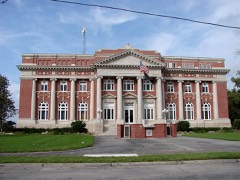 | Arcadia Historic District | district | 1984 | 84000842 |
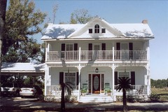 | Johnson-Smith House | building | 2013 | 13000163 |
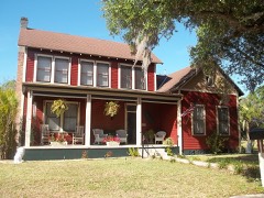 | William Oswell Ralls House | building | 2011 | 11000001 |
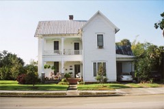 | Micajah T. Singleton House | building | 2013 | 13000578 |
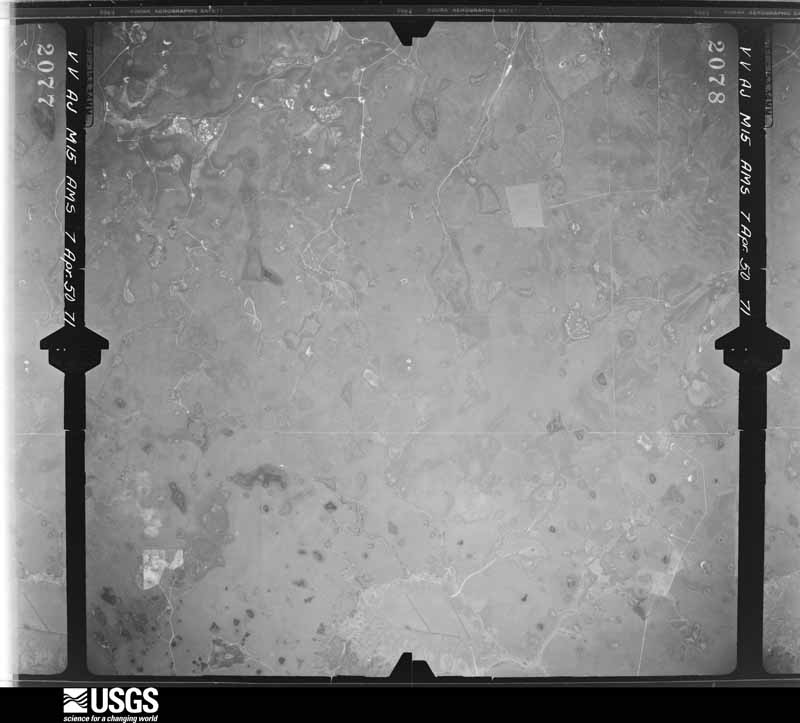
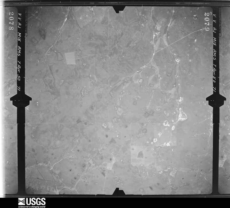
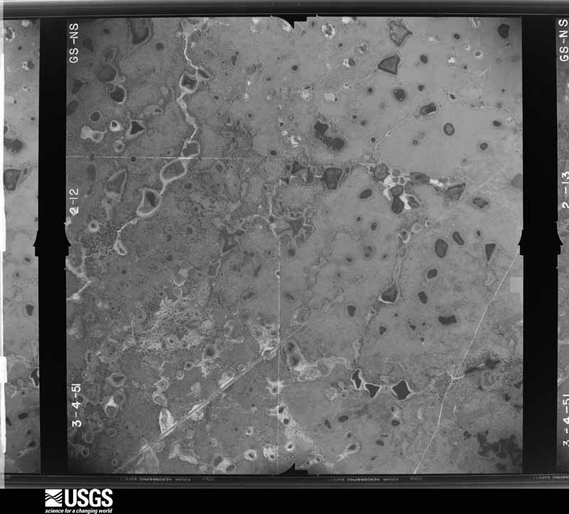
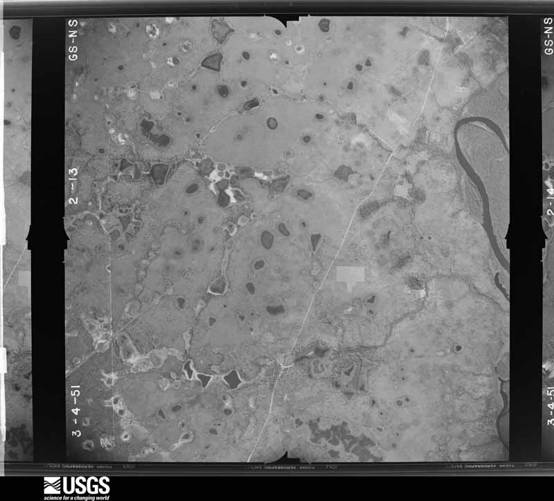
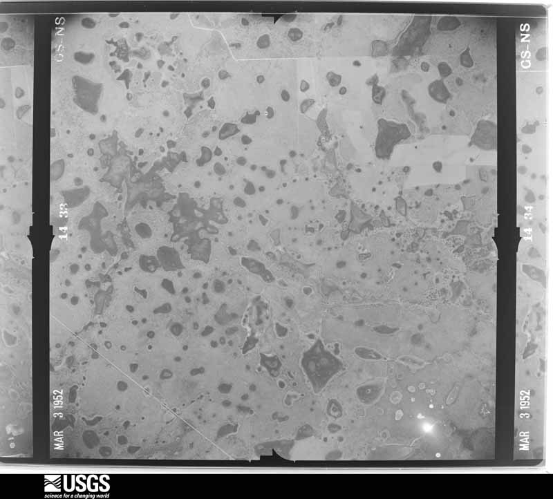
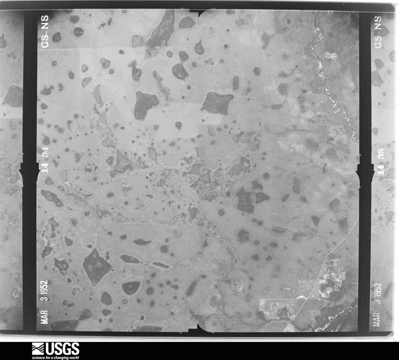
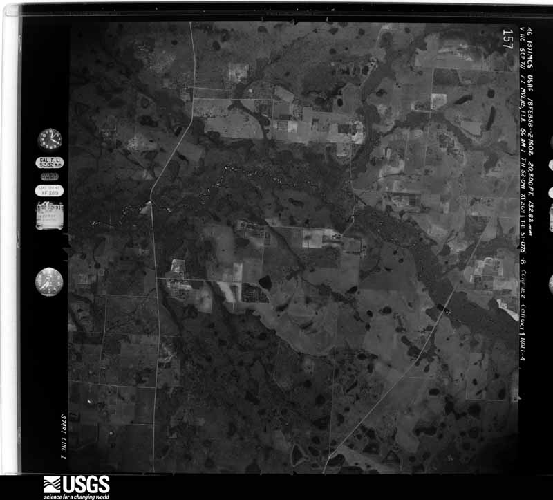
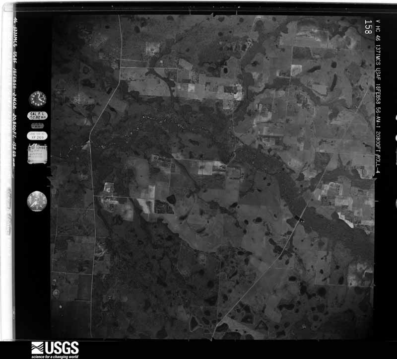
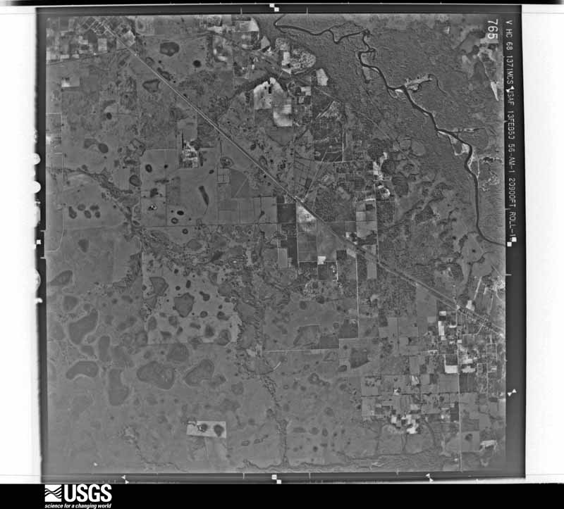
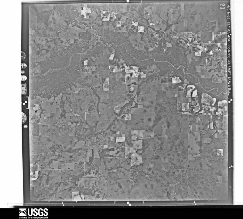
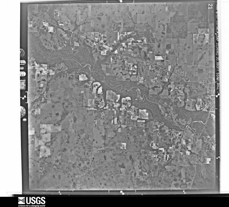
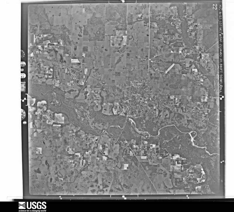
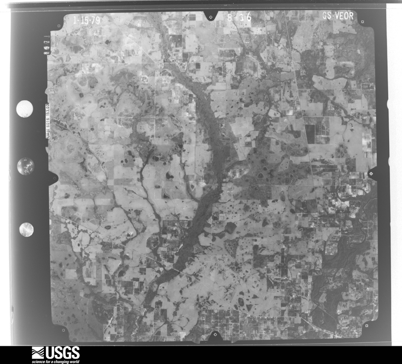
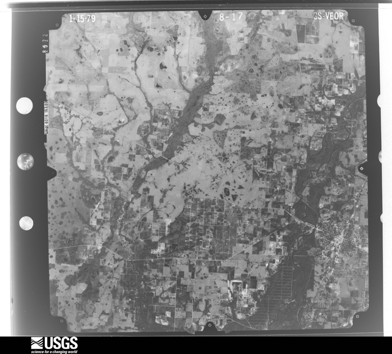
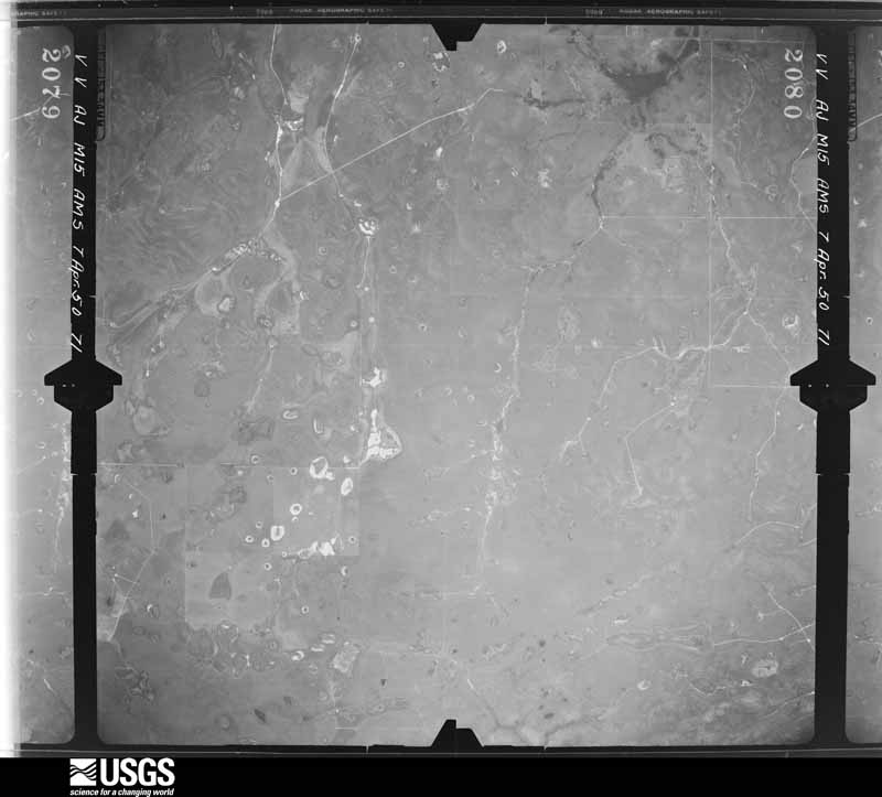
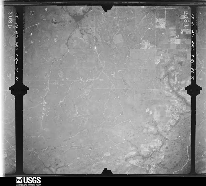
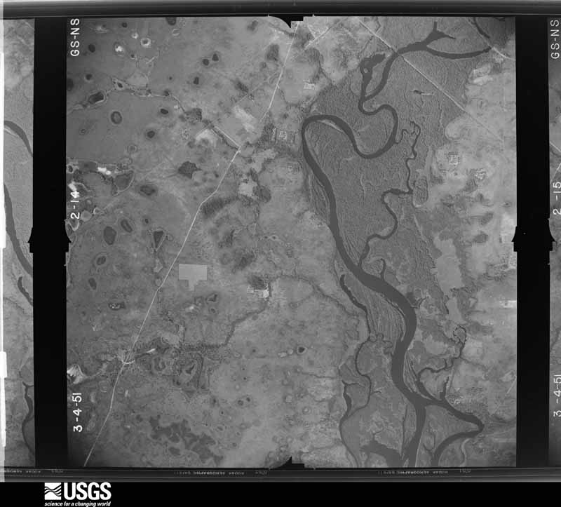
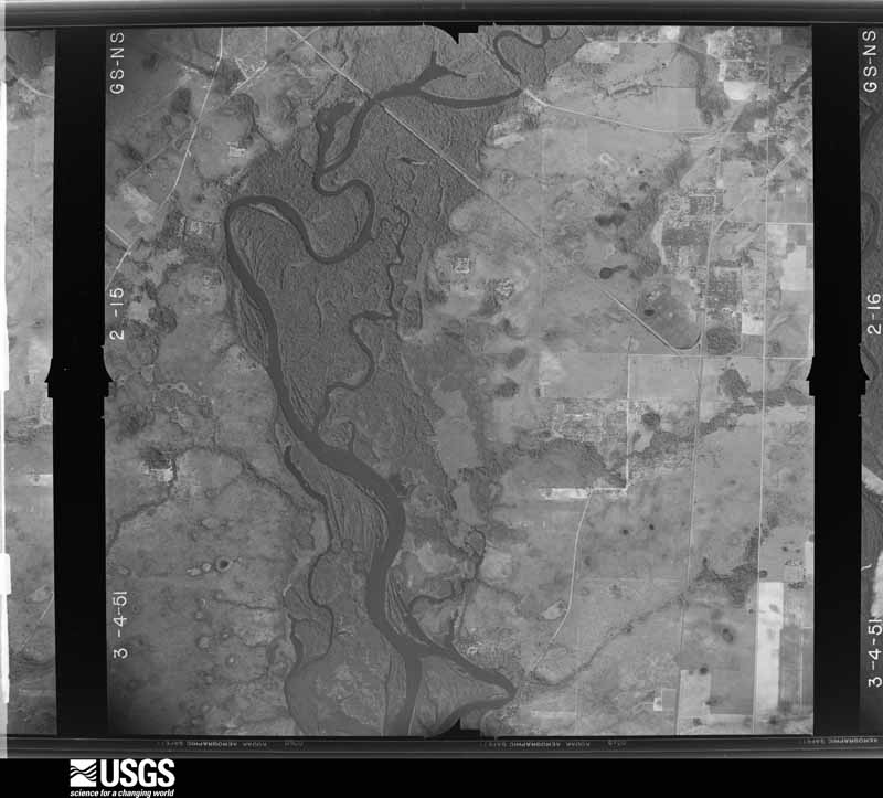
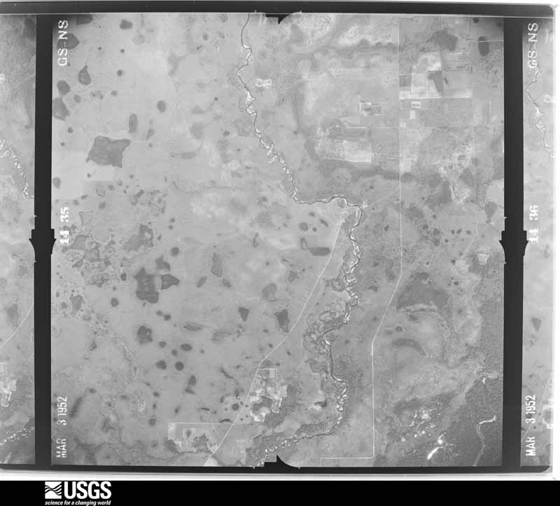
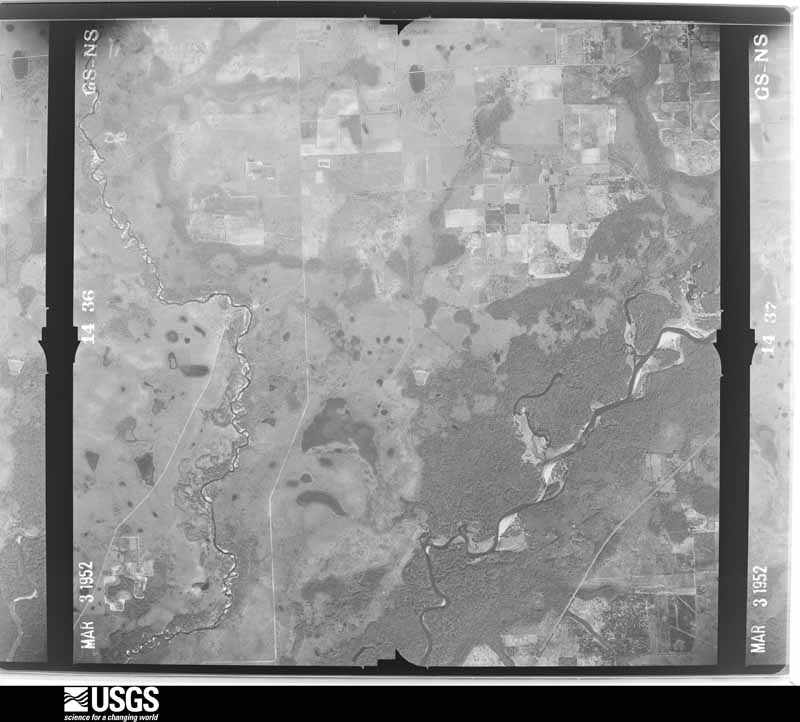
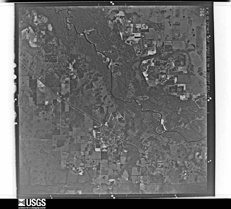
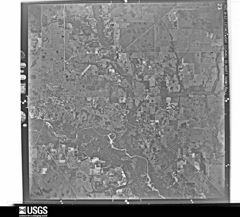
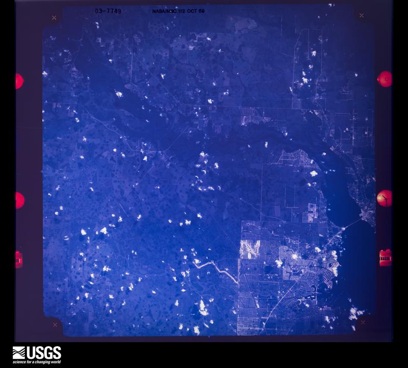
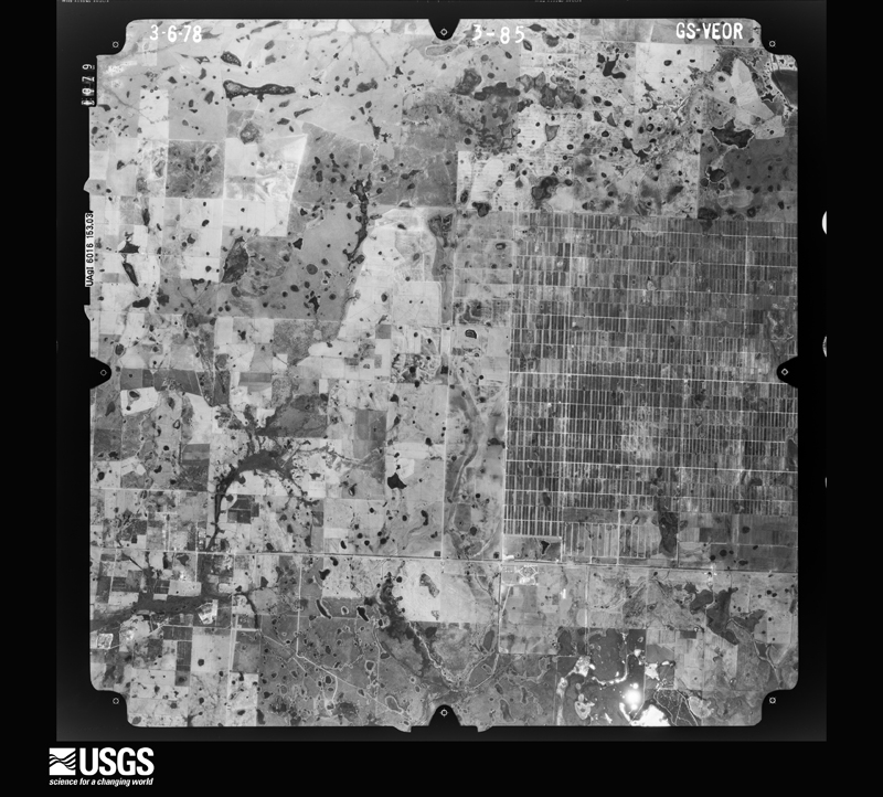
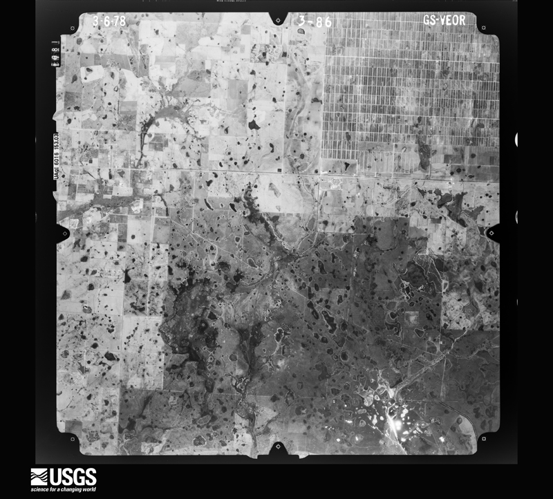
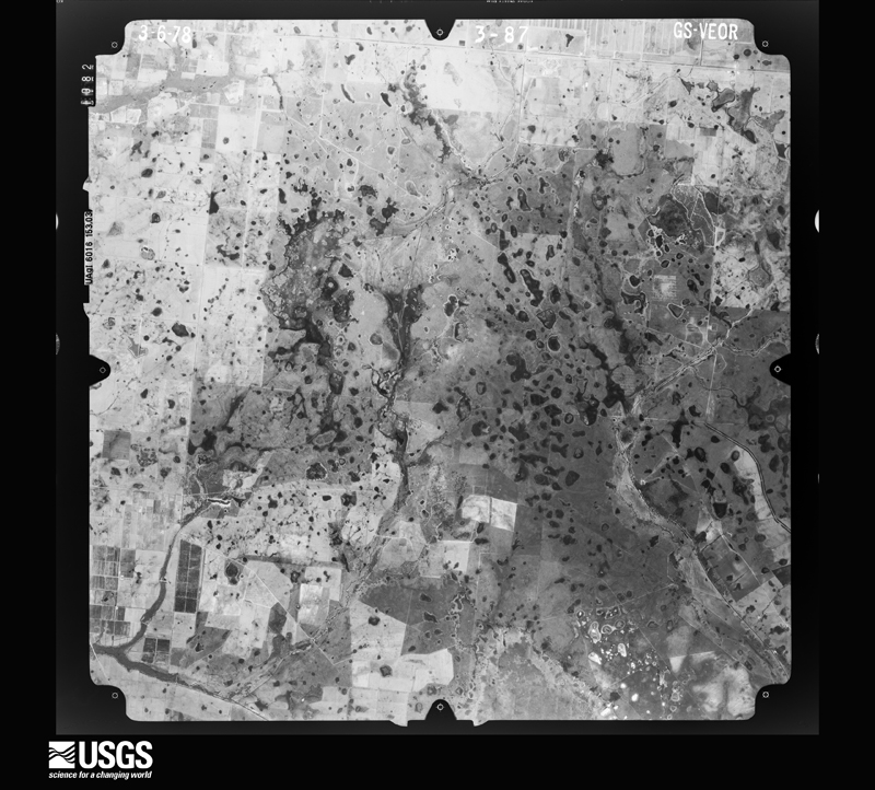
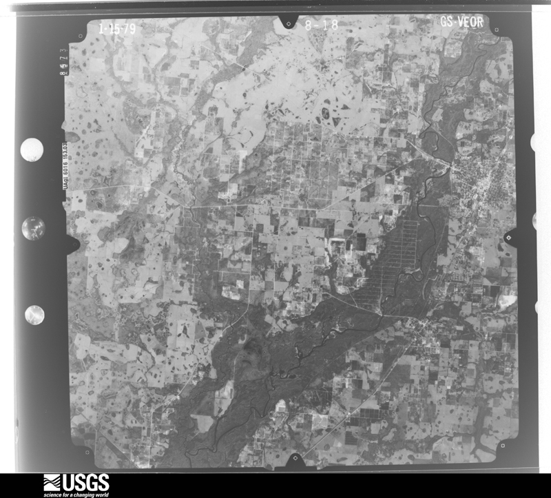
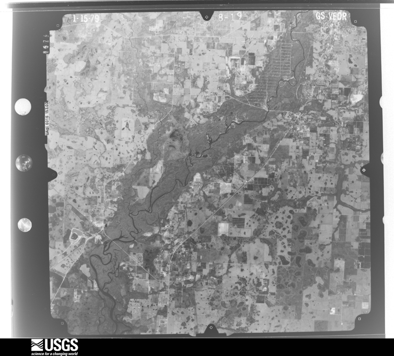
Flown by the U.S. Geological Survey between 1937 and 1989, the Aerial Photo Single Frames collection is the definitive mid-century view of the land: fields, roads and rivers as the camera saw them. The Survey holds 661 frames inside the rectangle that bounds this county; the 36 frames below were taken over the county itself, chosen across the decades of flights (at most four a year from that rectangle), so one flight cannot crowd out the rest. The full set is free to browse and download at EarthExplorer under the dataset Aerial Photo Single Frames.
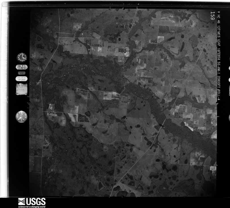
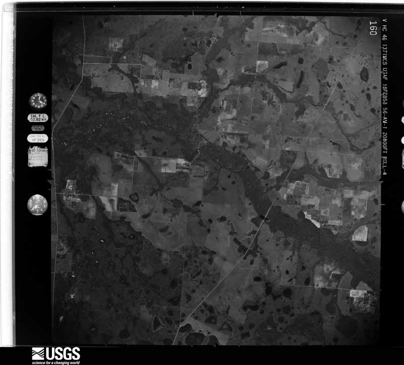
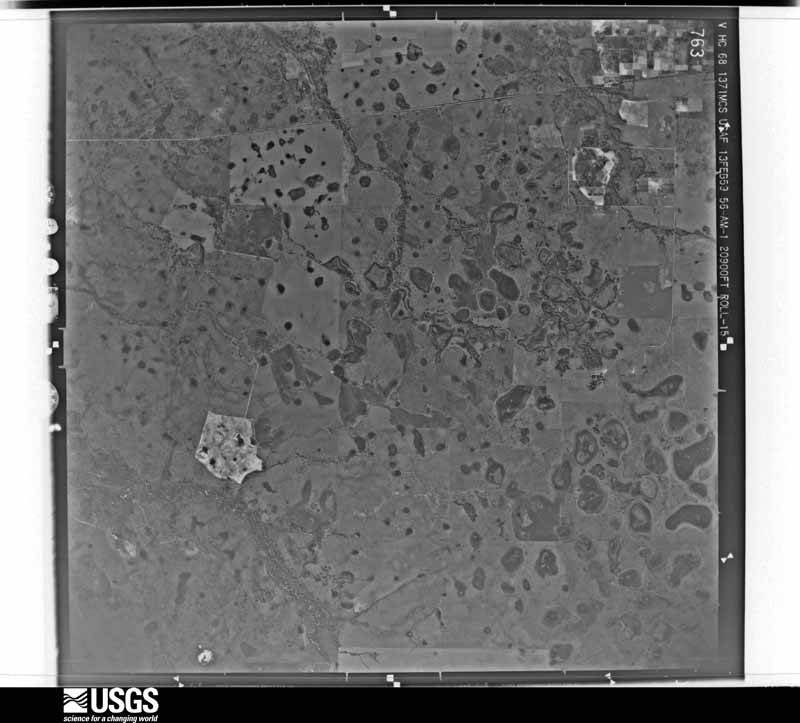
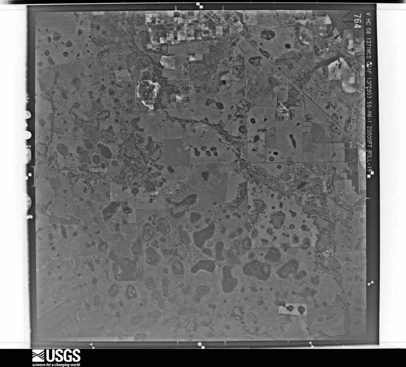




The thermometers that kept this county's weather, and the gages that measured the flow of its streams, as the federal records hold them. The extremes below are measured values from those records, not estimates.
Who lived here in 1950, one enumeration district at a time, as the Census Bureau described each district. Each row opens its official National Archives result, with Population Schedules and ED Maps available there.
Every wildfire the federal occurrence database records inside this county: 699 of them, burning about 15,036 acres. 116 started naturally and 19 were recorded as arson. Each settlement page carries the fires within five miles of it.
| Reported cause | Fires |
|---|---|
| Railroad operations and maintenance | 150 |
| Debris and open burning | 149 |
| Natural | 116 |
| Missing data/not specified/undetermined | 108 |
| Equipment and vehicle use | 78 |
| Recreation and ceremony | 27 |
| Misuse of fire by a minor | 25 |
| Arson/incendiarism | 19 |
| Power generation/transmission/distribution | 18 |
| Smoking | 5 |
| Other causes | 4 |
The five largest, by the area the report gives. None of them was recorded as arson.
| Date | Cause | Size | Reported by | Name on the report |
|---|---|---|---|---|
| 4 June 2000 | Natural | 1,100 acres | Florida Forest Service | BRIGHT HOUR |
| 11 March 2009 | Missing data/not specified/undetermined | 950 acres | Florida Forest Service | 14-CHARGER FIRE-0201 |
| 30 May 2017 | Natural | 615 acres | Florida Forest Service | SOUTH RUM CREEK (14) |
| 4 June 2000 | Natural | 600 acres | Florida Forest Service | not named |
| 14 May 2000 | Natural | 550 acres | Florida Forest Service | not named |
| 16 April 2008 | Missing data/not specified/undetermined | 509 acres | Florida Forest Service | 14-ADDISON AVENUE FIRE-0139 |
| 17 February 2009 | Missing data/not specified/undetermined | 350 acres | Florida Forest Service | 14-TEMPO FIRE-0114 |
| 7 March 2003 | Equipment and vehicle use | 350 acres | Florida Forest Service | not named |
Every settlement page carries the fires within five miles of it - see the settlement index below.
The NOAA Storm Events Database holds 134 reports for this county, causing 3 deaths, 14 injuries and about $11,245,030 in recorded property damage. Each settlement page carries the reports that name it.
| Kind of event | Reports |
|---|---|
| Thunderstorm Wind | 44 |
| Tornado | 35 |
| Flood | 26 |
| Hail | 18 |
| Flash Flood | 6 |
| Lightning | 3 |
| Wildfire | 1 |
| Heavy Rain | 1 |
The most serious of them, by death, then injury, then recorded damage. The accounts are quoted exactly as the forecast office filed them.
| When | Event | Place named | Harm | What the report says |
|---|---|---|---|---|
| June 2008 | Lightning | Nocatee | 1 killed, 2 hurt | At 4:30 p.m. EDT on June 23, 2008, Employee #1 was working at a ranch, clipping dead limbs off of a palm tree, when a heavy rain and lightning approached. Employee #1 and two coworkers sought refuge under a large 30-ft oak tree. While under the tree, Employee #1 leaned up against the tree. When lightning struck the tree, Employee #1 sustained burns to his hands and feet and was killed. Both coworkers were airlifted to Tampa General Hospital in Tampa, Florida. |
| September 1997 | Flash Flood | Brownville | 1 killed, $100,000 | no account filed |
| June 1996 | Lightning | Arcadia | 1 killed | no account filed |
| December 1983 | Tornado (F2) | not stated | 4 hurt, $250,000 | no account filed |
| May 1973 | Tornado (F0) | not stated | 3 hurt, $2,500 | no account filed |
| July 1977 | Tornado (F0) | not stated | 2 hurt, $25,000 | no account filed |
| July 1998 | Lightning | Ft Ogden | 2 hurt | Lightning struck the ground and injured a nearby female adult and a male child that were standing outdoors in the rain. |
| January 1979 | Tornado | not stated | 1 hurt, $250,000 | no account filed |
| March 1998 | Flood | Arcadia | $3,800,000 | The Peace River along State Road 70 in Arcadia crested at 18.14 feet on the 23rd, over seven feet above the flood stage of eleven feet. Nearly 150 homes and recreational vehicles incurred water damage from the floodwaters, primarily in the Arcadia Peace River Campground. Water from the Peace River covered and closed State Road 64 while 35 additional secondary roads were closed in the vicinity of the river. Several roads and bridges along the Peace River and its tributaries were washed out or heavily damaged. |
| September 2001 | Flash Flood | Ft Ogden | $1,500,000 | no account filed |
| September 2017 | Flood | Bunker | $1,000,000 | Heavy rains from Hurricane Irma caused the Peace River at Arcadia to rise above flood stage on the 10th, with flooding continuing through the 28th. The water level crested at 19.20 feet on the 15th, 3.20 feet above the major flooding threshold. This marks the third highest crest in history for the Peace River at Zolfo Springs.||On the nearby Horse Creek, flooding began on the 10th at the river gage near Arcadia, and continued through the 22nd. The water level crested at 17.07 feet on the 11th, 1.07 feet above the major flood stage. This marks the 5th highest flood stage on record for the Horse Creek near Arcadia. ||The waters were reported to have flooded homes in the River Acres neighborhood, as well as the Peace River Campground. The flood damage cost is unknown, but was guessed to be around $1 million. |
| March 1998 | Flood | Arcadia | $1,000,000 | The Horse Creek at Arcadia crested at 16.22 feet, over four feet above its flood stage of twelve feet, on the 22nd. The floodwaters damaged several homes in the Hidden Acres subdivision and a portion of State Road 72 was underwater at Horse Creek. |
| February 1998 | Flood | Arcadia | $500,000 | The Peace River along State Road 70 in Arcadia crested at 16.0 feet on the 16th, over five feet above the flood stage of eleven feet. |
| November 1997 | Flash Flood | Arcadia | $380,000 | no account filed |
| June 1985 | Tornado (F1) | not stated | $250,000 | no account filed |
| February 1970 | Tornado (F1) | not stated | $250,000 | no account filed |
| February 1970 | Tornado (F2) | not stated | $250,000 | no account filed |
| June 2003 | Flash Flood | Arcadia | $200,000 | Flash Flooding in the western third of Desoto County closed and damaged back roads. Several homes received water damage from rising waters. Rainfall of 11.79 occurred 10 miles west of Arcadia during the last three days. |
| January 1998 | Flood | Arcadia | $200,000 | The Peace River along State Road 70 in Arcadia crested at 13.7 feet on the 28th, nearly three feet above the flood stage of 11 feet. A few homes along the banks of the Peace River received minor flood damage. |
| January 1999 | Thunderstorm Wind | Arcadia Muni Arpt | $150,000 | Thunderstorm winds collapsed an airport hanger roof which damaged an aircraft in storage at the Arcadia Municipal Airport. Also, a few mobile homes incurred major roof damage and several trees and power lines were downed in the Forest Pines subdivision of Arcadia. |
| November 1997 | Flood | Arcadia | $115,000 | no account filed |
| January 2016 | Thunderstorm Wind | Lansing | $100,000 | The DeSoto County Sheriff's Office reported numerous powerlines down in Arcadia along with moderate roof damage to 3 homes and minor damage to 17 homes. |
| January 1998 | Flood | Arcadia | $100,000 | The Horse Creek crested at 13.3 feet, nearly one and a half feet above the flood stage of twelve feet, on the 24th. A few homes in the Hidden Acres subdivision received minor flood damage. |
| June 1997 | Thunderstorm Wind | Arcadia | $100,000 | Thunderstorm winds damaged a boat shed on the northwest side of Arcadia then severely damaged the roofs of two businesses on the north side of Arcadia. Numerous trees and power lines were downed by thunderstorm winds on the north and east side of Arcadia. |
| February 1998 | Flood | Arcadia | $50,000 | The Horse Creek crested at 15.0 feet, three feet above the flood stage of twelve feet, on the 19th. A few homes in the Hidden Acres subdivision received minor to moderate flood damage. |
| December 1997 | Flood | Arcadia | $50,000 | The Peace River in Arcadia crested at 13.0 feet, two feet above flood stage, and flooded a few homes in Arcadia. |
| March 1993 | Thunderstorm Wind | S Portion | $50,000 | Strong thunderstorm winds destroyed a carport and a shed. |
| December 1997 | Flood | Arcadia | $30,000 | The Peace River along State Road 70 in Arcadia crested at 14.7 feet, nearly three and a half feet above the flood stage of eleven feet, on the 18th. Six homes along the banks of the Peace River received minor flood damage. |
| June 2001 | Thunderstorm Wind | Arcadia | $25,000 | The public reported, through WTVT-TV and WFTS-TV of Tampa, that thunderstorm winds caused damage to a mobile home, downed a few large trees and broke windows near the intersection of Pine Hurst and Eucalyptus Roads, four miles west of Arcadia. |
| July 1999 | Flood | Ft Ogden | $25,000 | Six to eight inches of heavy rain fell in less than five hours and caused localized flooding of roads and low lying areas along the U.S. Highway 17 corridor from Arcadia to Ft Ogden. A few vehicles incurred water damage while travelling through flooded intersections along U.S. Highway 17. |
| March 1998 | Flood | Arcadia | $25,000 | The Peace River along State Road 70 in Arcadia crested at 12.6 feet on the 1st, over one and a half feet above the flood stage of 11 feet. |
| September 2000 | Flash Flood | Arcadia | $25,000 | no account filed |
| June 1989 | Tornado (F0) | not stated | $25,000 | no account filed |
| July 1984 | Tornado (F0) | not stated | $25,000 | no account filed |
| July 1984 | Tornado (F1) | not stated | $25,000 | no account filed |
| June 1981 | Tornado (F0) | not stated | $25,000 | no account filed |
| August 1975 | Tornado (F1) | not stated | $25,000 | no account filed |
| May 1967 | Tornado | not stated | $25,000 | no account filed |
| September 2001 | Tornado (F0) | Ft Ogden | $20,000 | A weak F0 tornado, that crossed from the Charlotte - DeSoto county line near State Road 769, downed several large trees as it moved north into rural extreme southwest DeSoto county. The tornado lifted and dissipated approximately six miles west northwest of Ft. Ogden. |
| March 1998 | Flood | Arcadia | $20,000 | The Peace River along State Road 70 in Arcadia crested at 11.62 feet on the 11th, over a half foot above the flood stage of eleven feet. |
| August 2004 | Tornado (F0) | Brownville | $15,000 | A tornado moved north near the intersection of McIntyce Road and U.S. 17. One building sustained damage. |
| January 1999 | Thunderstorm Wind | Arcadia | $15,000 | Thunderstorm winds tore off the roof of a home along Cherry Road and downed several trees and power lines throughout Arcadia. |
| May 2018 | Tornado (EF0) | Joshua | $10,000 | DeSoto County emergency management reported a barn was destroyed by a brief tornado touchdown east of Arcadia. There were 5 antique cars in the barn at the time that were not damaged. |
| January 2016 | Thunderstorm Wind | Cubitus | $10,000 | Local law enforcement reported multiple downed trees along Hammock Road near Arcadia. |
| June 2004 | Thunderstorm Wind | Arcadia | $10,000 | Several large trees were down, with one tree down on a house. |
| September 1998 | Flood | Arcadia | $10,000 | The Peace River along State Road 70 in Arcadia reached a height of 12.7 feet, more than a foot and a half above the flood stage of eleven feet, on the 30th. A few homes were damaged by floodwaters of the Peace River. |
| June 1998 | Thunderstorm Wind | Arcadia | $10,000 | Thunderstorm winds blew off the metal roof of a home on the 2800 block of Northeast Washington Street in Arcadia. |
| April 1998 | Flood | Arcadia | $10,000 | The Peace River along State Road 70 in Arcadia crested at 12.0 feet on the 1st, one foot above the flood stage of eleven feet. |
| October 1998 | Flood | Arcadia | $10,000 | The Peace River along State Road 70 in Arcadia reached a height of 12.8 feet, more than a foot and a half above the flood stage of eleven feet, on the 2nd. A few homes were damaged by floodwaters of the Peace River. |
| December 1997 | Flood | Arcadia | $10,000 | The Peace River along State Road 70 in Arcadia crested at 11.8 feet, nearly a foot above the flood stage of eleven feet, on the 31st. |
| December 1997 | Flood | Arcadia | $10,000 | The Horse Creek crested at 14.4 feet, near two and a half feet above the flood stage of of twelve feet, on the 16th. A few homes in the Hidden acres subdivision received minor flood damage. |
| February 1998 | Flood | Countywide | $10,000 | no account filed |
| September 1997 | Flood | Arcadia | $10,000 | no account filed |
| July 2025 | Tornado (EF0) | Nocatee | $5,000 | A brief landspout developed as a sea breeze boundary interacted with additional thunderstorm boundaries. Emergency management assessment of the affected area indicated minor damage to a couple of homes along with a downed power pole near the intersection of Marco Avenue and Beard Street in DeSoto county. Winds were estimated up to around 65 mph with a path length of less than a quarter of a mile. |
| May 2010 | Thunderstorm Wind | Lansing | $5,000 | Several trees were downed along Northwest Coker Street. Also, a large heavy brick was pushed several feet into a swimming pool, lawn furniture was destroyed, and an umbrella was snapped and blown away. |
| May 2001 | Thunderstorm Wind | Arcadia | $5,000 | Thunderstorm winds, estimated at 50 mph, removed a large portion of a tin roof from a weathered mobile home in Arcadia. |
| July 2000 | Thunderstorm Wind | Arcadia | $5,000 | A Skywarn Spotter reported that thunderstorm winds downed a few large trees, several branches and power lines in Arcadia. |
| May 1999 | Thunderstorm Wind | Arcadia | $5,000 | The De Soto county sheriffs office reported that thunderstorm winds downed a few large trees and several power lines in northwest Arcadia. |
| September 1998 | Tornado (F0) | Arcadia | $5,000 | The De Soto County Emergency Management reported that a weak tornado, associated with an outer band of Hurricane Georges, sporadically touched down along a narrow path and toppled a few trees and branches before it lifted and dissipated. |
| July 1998 | Thunderstorm Wind | Arcadia | $5,000 | A downburst removed a large portion of the roof of a home at the corner of Garvin and Horshoe Roads in Arcadia. |
The Survey's mineral resources record lists 19 workings inside this county. 3 still produce and 16 are closed or unrecorded. Each settlement page carries the workings within five miles of it.
| Commodity | Workings |
|---|---|
| Sand | 10 |
| Phosphorus-Phosphates | 5 |
| Limestone, General | 4 |
| Fluorine-Fluorite, Magnesite, Uranium, Aluminum, Iron | 1 |
| Uranium, Magnesite, Iron, Aluminum, Fluorine-Fluorite | 1 |
| Aluminum, Fluorine-Fluorite, Iron, Magnesite, Uranium, Water, Free | 1 |
| Water, Free | 1 |
| Uranium, Iron, Magnesite, Aluminum, Fluorine-Fluorite | 1 |
The least common of them first, because a county's hundredth gravel pit says nothing its first ten did not.
| Where | Site | Commodity | Status | Recorded |
|---|---|---|---|---|
| De Soto County Unknown Ownerships | Phosphorus-Phosphates, Water, Free | Occurrence | ||
| Desoto-Manatee Reserve | Phosphorus-Phosphates, Aluminum, Fluorine-Fluorite, Iron, Magnesite, Uranium, Water, Free | Prospect | 1964 | |
| Horse Creek, D.E. Carlton | Phosphorus-Phosphates, Uranium, Magnesite, Iron, Aluminum, Fluorine-Fluorite | Prospect | 1968 | |
| Pine Level Deposit | Phosphorus-Phosphates, Fluorine-Fluorite, Magnesite, Uranium, Aluminum, Iron | Prospect | 1967 | |
| W.Bethel and Adjacent Deposits | Phosphorus-Phosphates, Uranium, Iron, Magnesite, Aluminum, Fluorine-Fluorite | Prospect | ||
| Arcadia Shell - Stinson Shell Pit | Limestone, General | Producer | Limestone | |
| Desoto Shell - Pits 1-3 | Limestone, General | Producer | Limestone | |
| Jim D. Woodson, Jr. - Woodson Shell Mine | Limestone, General | Unknown | Limestone | |
| Quave, Tommy & Walter - Quave Mine | Limestone, General | Unknown | Limestone | |
| Dot Arcadia - Nocatee #1 Mine | Sand | Unknown | Sand | |
| Dot Arcadia - Nocatee #2 Mine | Sand | Unknown | Sand | |
| Dot Arcadia - Nocatee #3 Mine | Sand | Unknown | Sand | |
| Ghc Construction, Inc. - Hillsborough Mine | Sand | Unknown | ||
| James Dyke - King'sS Trust Mine | Sand | Unknown | ||
| L.I. Davis Excavating - Hog Bay / Triple Pit | Sand | Producer | ||
| Peace River Conservancy - Kings Highway Mine | Sand | Unknown | ||
| Ray Smith Excavating - Quido Marxer Mine | Sand | Unknown | ||
| Ray Smith's Excavating - Ray Smith Excavating Mine | Sand | Unknown | Sand | |
| W.J. Sutton Company - Pit #2 | Sand | Unknown | Sand |
Named settlements recorded in the Geographic Names Information System, each with the topographic sheets covering it. Villages, hamlets and abandoned places alike. Each is shown with the nearest named watercourse or landform and the survey quadrangle it falls on.
Arcadia West census division · 34266 · On McBride Branch · Nocatee quadrangle
13 sheets, 1956 to 1988
No longer a settlement
Arcadia East census division · 34266 · On Sand Gully · Gardner quadrangle
13 sheets, 1956 to 1988
Arcadia East census division · 34266 · Long Island Marsh NW quadrangle
13 sheets, 1956 to 1988
Arcadia West census division · 34269 · Murdock SE quadrangle
11 sheets, 1956 to 1988
Arcadia West census division · 34266 · On McBride Branch · Limestone quadrangle
14 sheets, 1956 to 1988
Arcadia West census division · 34266 · On Hawthorne Creek · Nocatee quadrangle
13 sheets, 1956 to 1988
Arcadia West census division · 34266 · On Brandy Branch · Limestone quadrangle
14 sheets, 1956 to 1988
Arcadia West census division · 34269 · On Horse Creek · Murdock SE quadrangle
11 sheets, 1956 to 1988
Arcadia West census division · 34266 · On Brandy Branch · Nocatee quadrangle
13 sheets, 1956 to 1988
The vanished settlements of DeSoto County: the places named above that are no longer on the map.