 Block
BlockFrom the record
17 National Register listings published here.
Sources: the National Register database, National Park Service
69 topographic sheets cover 31 settlements here, and 17 properties are on the National Register of Historic Places.
17 National Register listings published here.
Sources: the National Register database, National Park Service
Every property in this county listed on the National Register of Historic Places, with the year it was listed and the federal nomination document.
| Photograph | Property | Type | Listed | Reference |
|---|---|---|---|---|
 | Archbold Biological Station at Red Hill | building | 2007 | 07000698 |
 | Avon Park Historic District | district | 1990 | 90000486 |
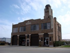 | Central Station | building | 1989 | 89001009 |
 | Elizabeth Haines House | building | 1993 | 93001119 |
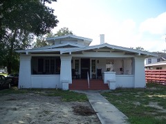 | Edward Hainz House | building | 1989 | 89001010 |
 | Harder Hall | building | 1990 | 90000341 |
 | Highlands County Courthouse | building | 1989 | 89001013 |
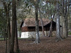 | Highlands Hammock State Park and Florida Botanical Gardens and Arboretum | district | 2018 | 100003021 |
| Highway Park Cemetery | site | 2020 | 100005241 | |
 | Kenilworth Lodge | building | 2000 | 00000661 |
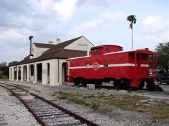 | Lake Placid A. C. L. Railroad Depot, Old | building | 1993 | 92001733 |
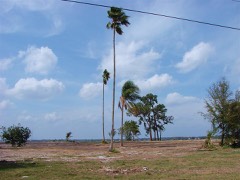 | Pinecrest Hotel, Old | building | 2000 | 00000266 |
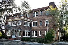 | Santa Rosa Hotel | building | 2017 | 100000957 |
 | Seaboard Air Line Depot, Old-Sebring | district | 1990 | 90000425 |
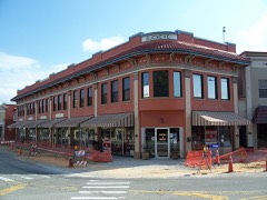 | Sebring Downtown Historic District | district | 1990 | 90000424 |
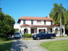 | H. Orvel Sebring House | building | 1989 | 89001012 |
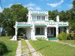 | Paul L. Vinson House | building | 1989 | 89001011 |
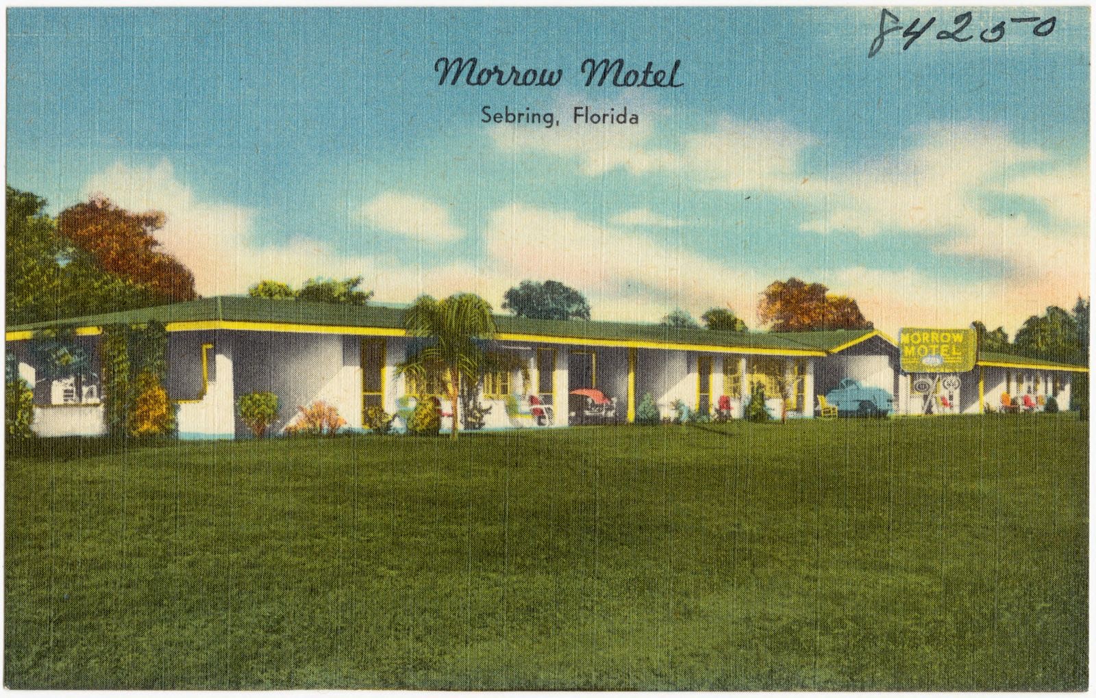
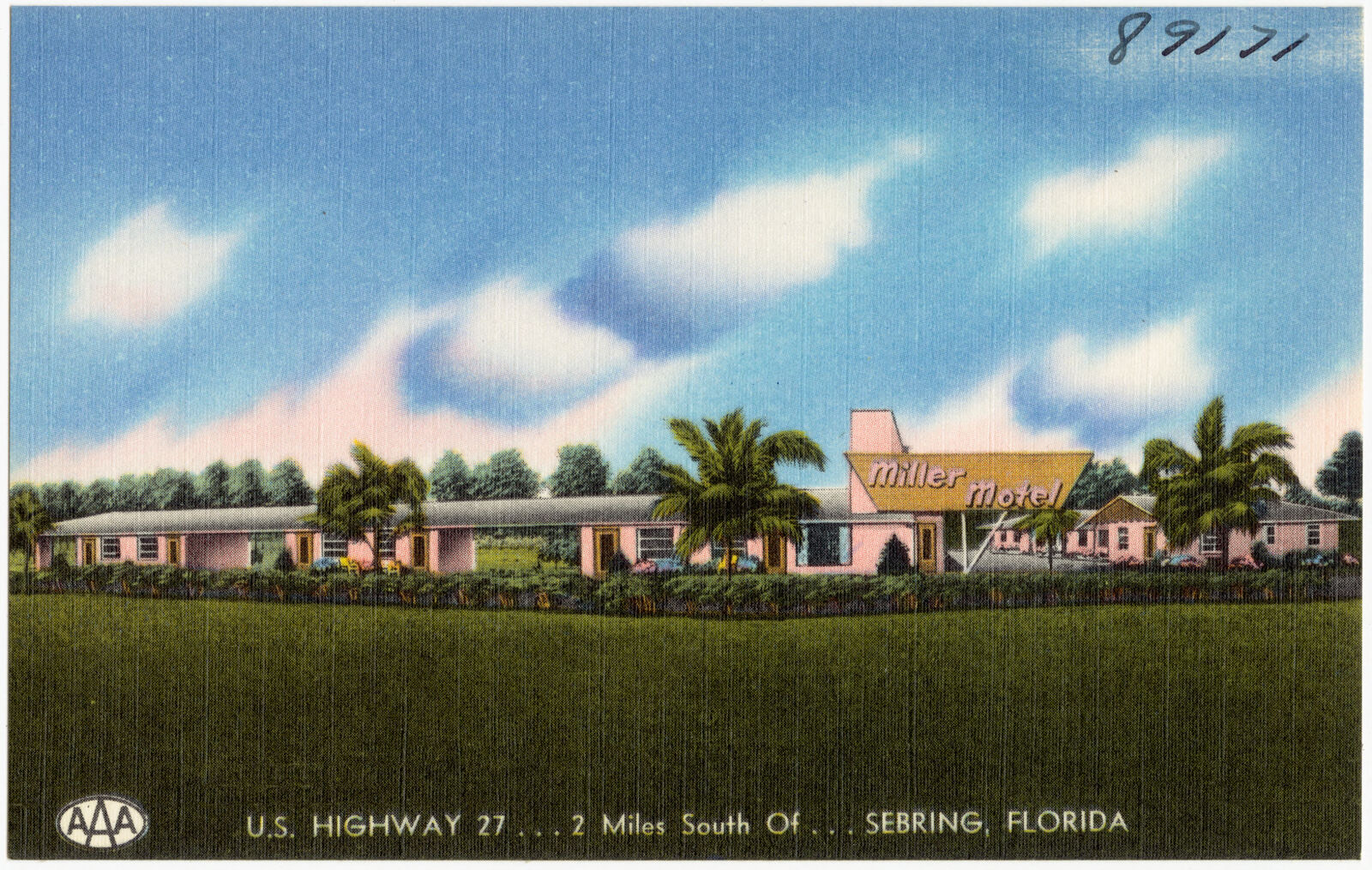
Selected from the Digital Public Library of America's 19 image records catalogued for this county. Every one shown here carries a public-domain status or a licence that permits reuse on a site that carries advertising; non-commercial, share-alike and restricted images are excluded. The selection is spread across the county's towns (at most eight per town), so no single institution's bulk upload crowds out the rest. Each opens the holding library's record, and the complete set at the Digital Public Library of America is one click away.





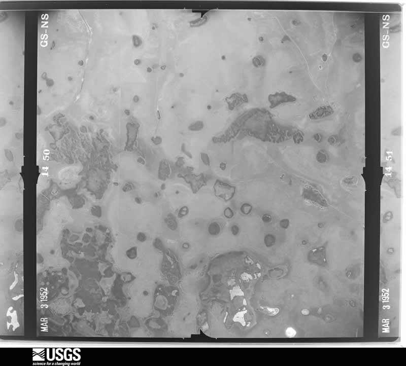
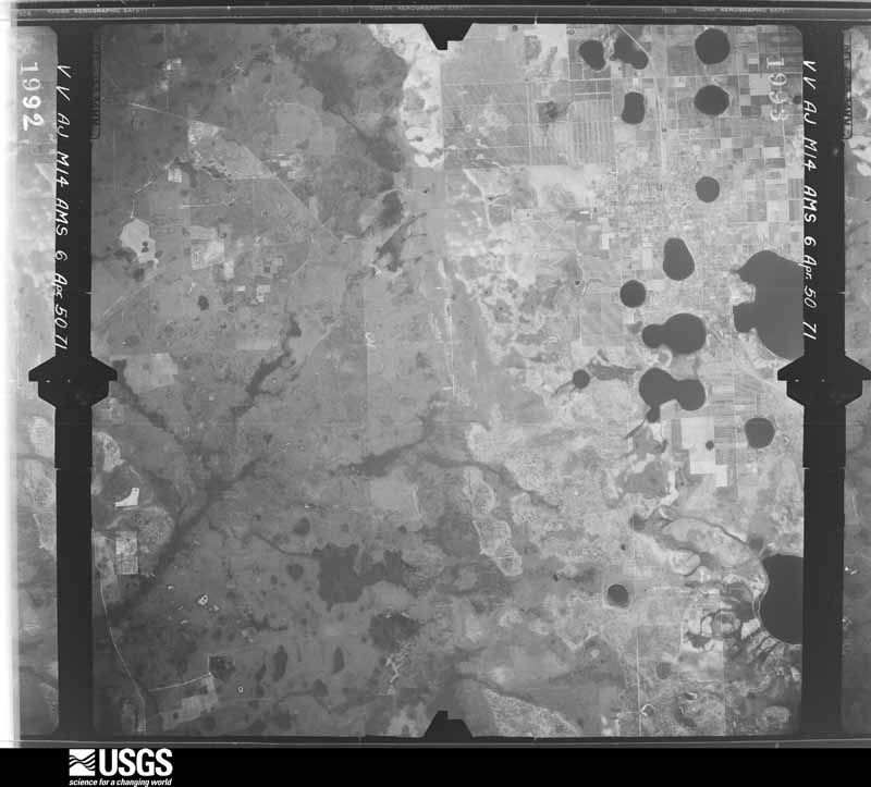
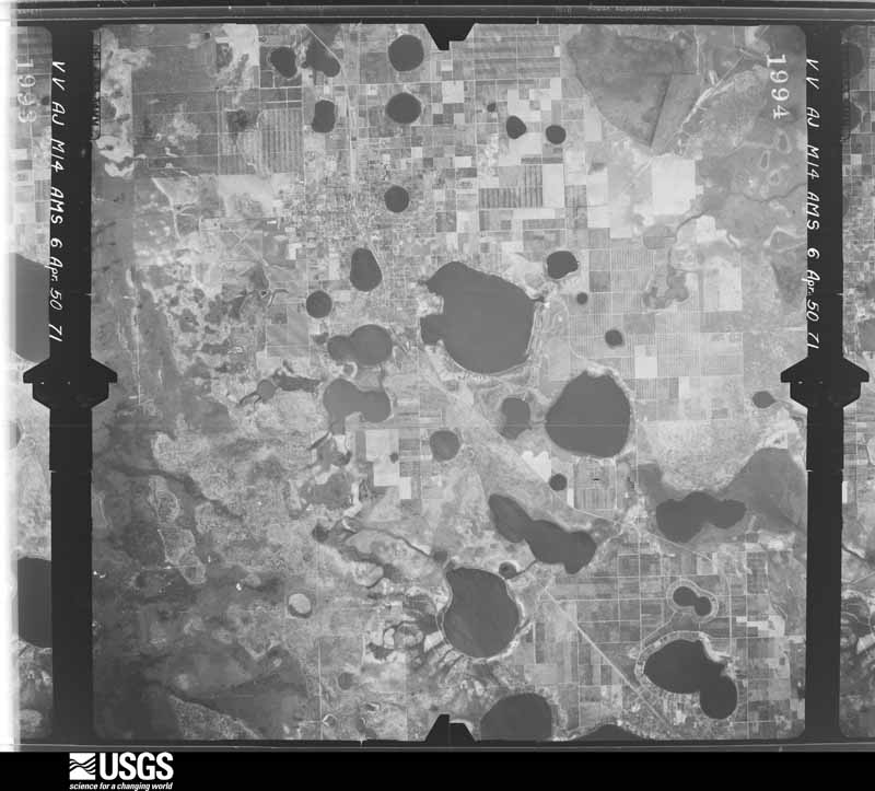
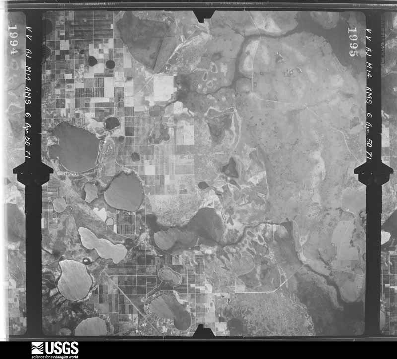
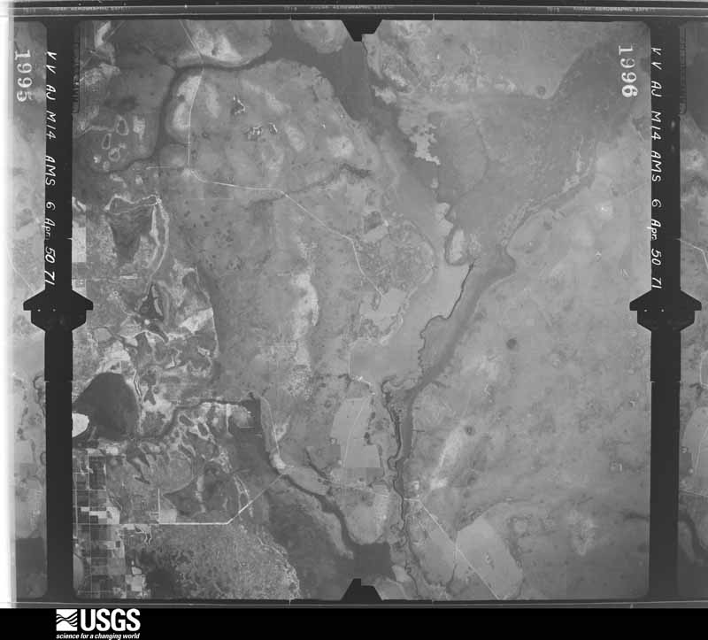
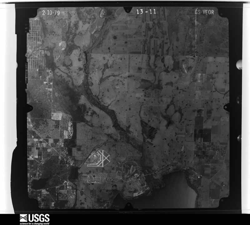
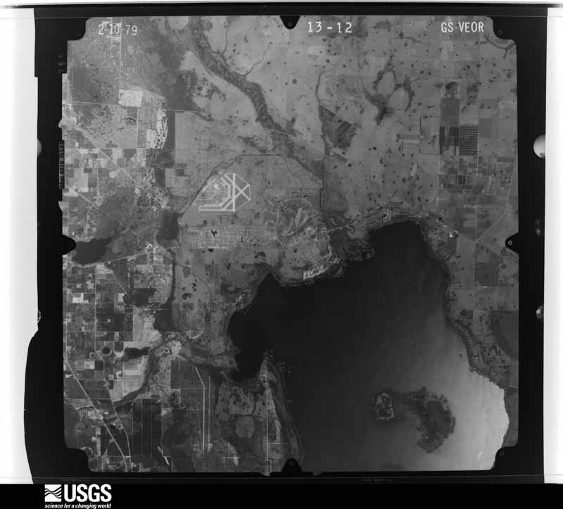
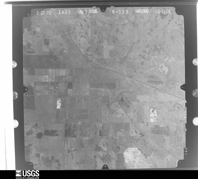
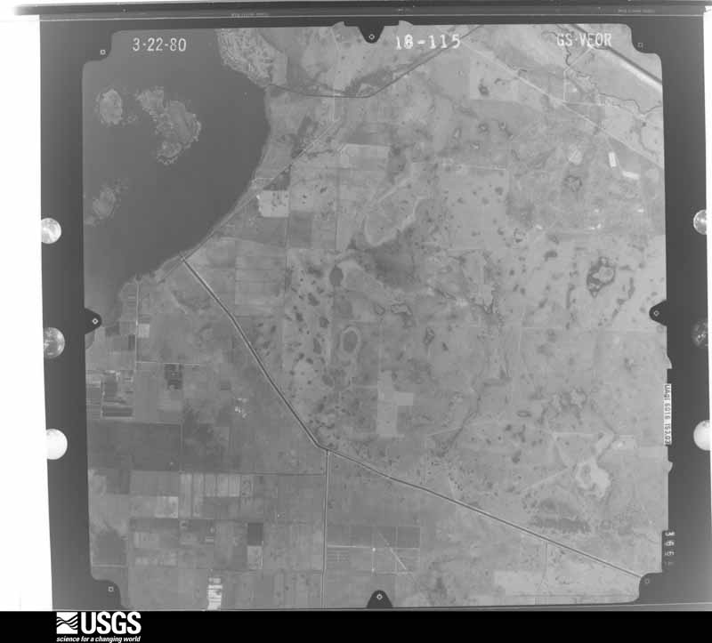
Flown by the U.S. Geological Survey between 1937 and 1989, the Aerial Photo Single Frames collection is the definitive mid-century view of the land: fields, roads and rivers as the camera saw them. The Survey holds 756 frames inside the rectangle that bounds this county; the 28 frames below were taken over the county itself, chosen across the decades of flights (at most four a year from that rectangle), so one flight cannot crowd out the rest. The full set is free to browse and download at EarthExplorer under the dataset Aerial Photo Single Frames.
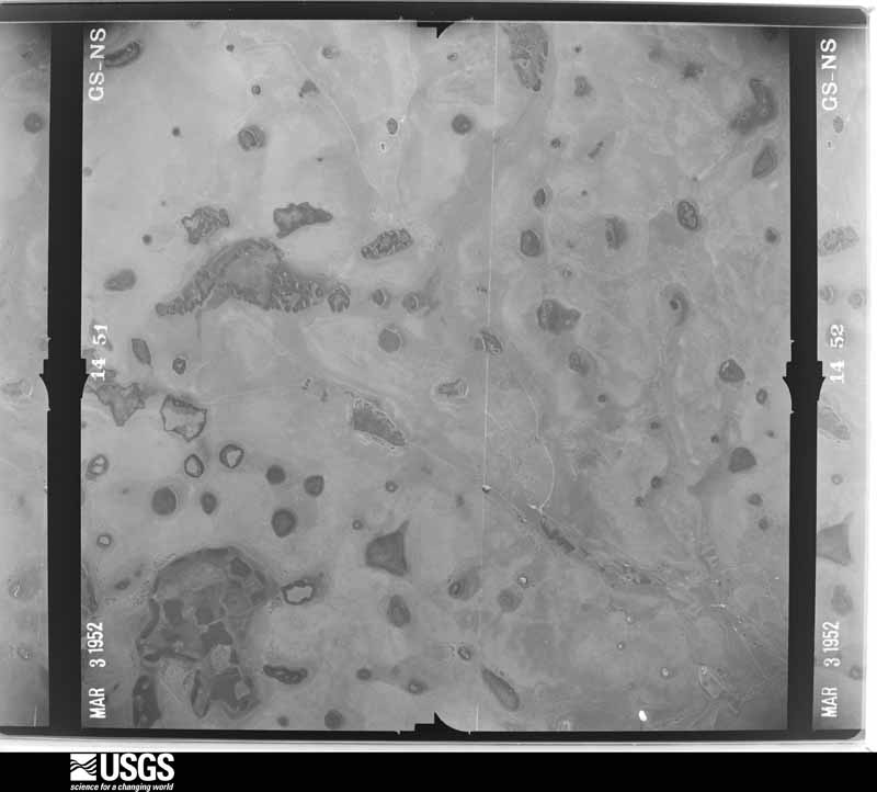
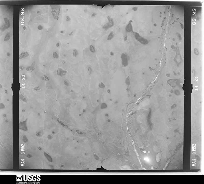



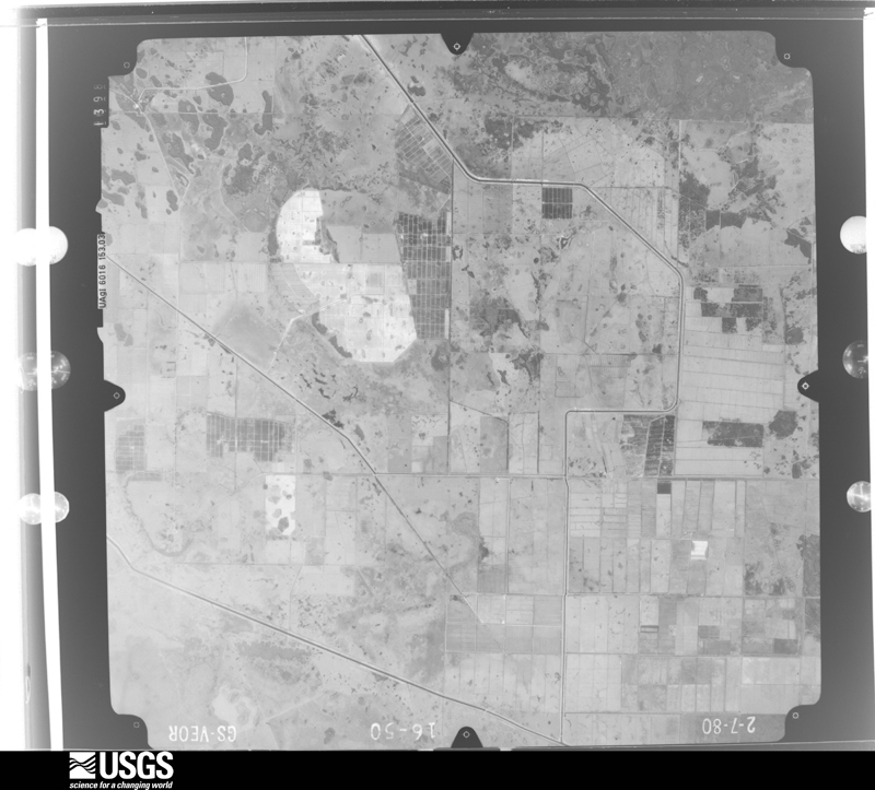
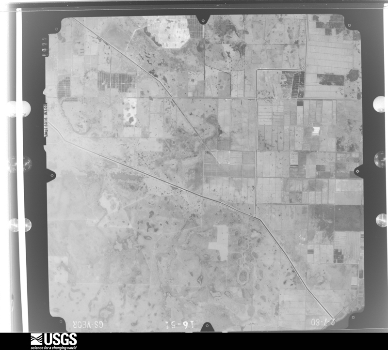
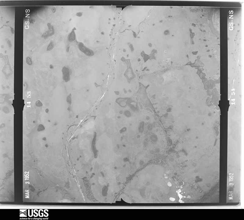




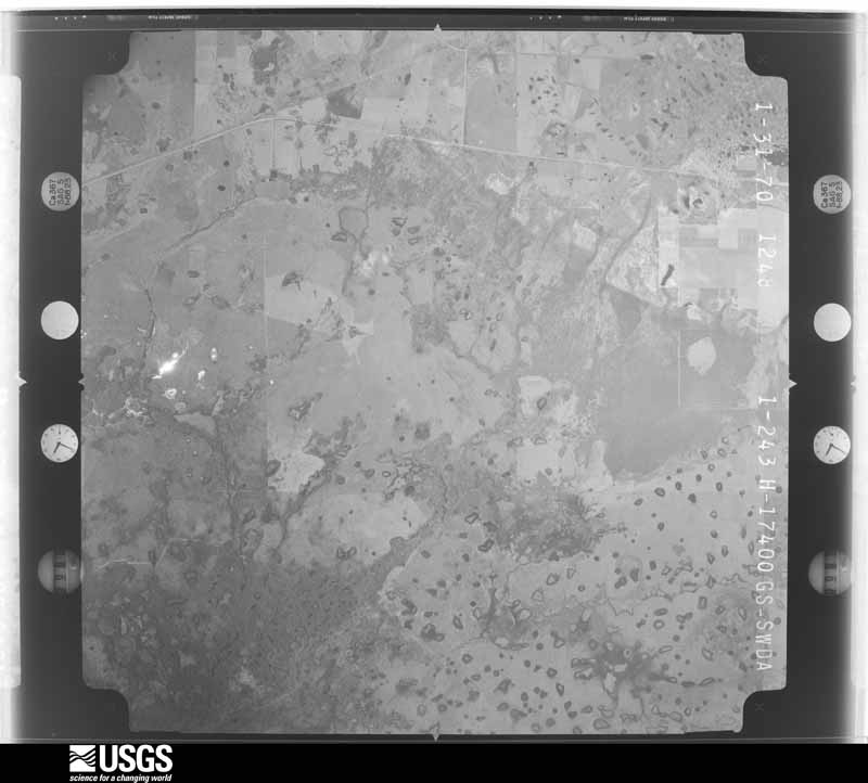




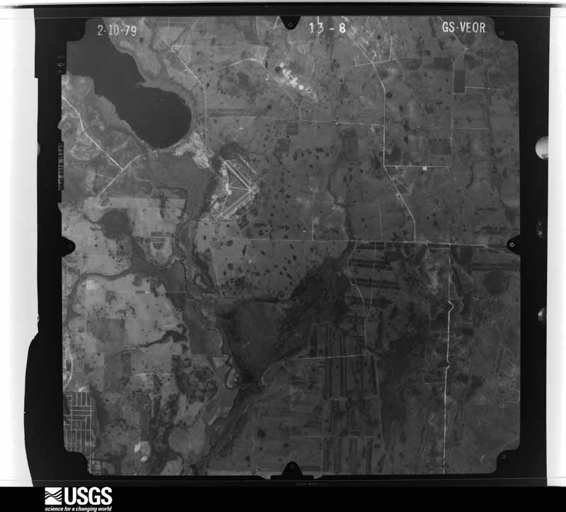
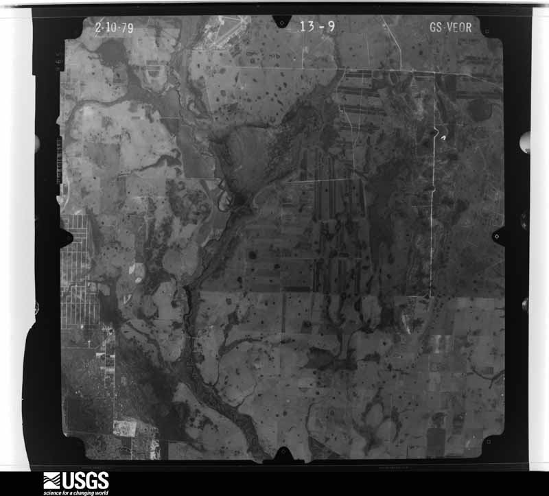
The thermometers that kept this county's weather, and the gages that measured the flow of its streams, as the federal records hold them. The extremes below are measured values from those records, not estimates.
Who lived here in 1950, one enumeration district at a time, as the Census Bureau described each district. Each row opens its official National Archives result, with Population Schedules and ED Maps available there.
Every wildfire the federal occurrence database records inside this county: 2,832 of them, burning about 65,454 acres. 429 started naturally and 320 were recorded as arson. Each settlement page carries the fires within five miles of it.
| Reported cause | Fires |
|---|---|
| Debris and open burning | 551 |
| Railroad operations and maintenance | 493 |
| Natural | 429 |
| Equipment and vehicle use | 373 |
| Arson/incendiarism | 320 |
| Missing data/not specified/undetermined | 243 |
| Misuse of fire by a minor | 126 |
| Power generation/transmission/distribution | 116 |
| Recreation and ceremony | 92 |
| Smoking | 63 |
| Fireworks | 18 |
| Other causes | 8 |
The five largest, by the area the report gives. None of them was recorded as arson.
| Date | Cause | Size | Reported by | Name on the report |
|---|---|---|---|---|
| 17 May 2017 | Missing data/not specified/undetermined | 8,800 acres | Merritt Island National Wildlife Refuge | ECHO SPRINGS |
| 30 May 2006 | Natural | 4,200 acres | Florida Forest Service | CHARLIE FIRE |
| 4 June 2000 | Natural | 2,100 acres | Florida Forest Service | not named |
| 10 February 2009 | Debris and open burning | 1,330 acres | Florida Forest Service | (HI) BLUE HEAD (133) |
| 14 January 2011 | Missing data/not specified/undetermined | 1,089 acres | Florida Forest Service | (HI) TRACER (55) |
| 12 February 2001 | Recreation and ceremony | 1,070 acres | Florida Forest Service | STATION FIRE |
| 5 December 2018 | Missing data/not specified/undetermined | 1,050 acres | Florida Forest Service | SE RANGE (28) |
| 12 May 2009 | Natural | 1,001 acres | Florida Forest Service | BOMB |
Every settlement page carries the fires within five miles of it - see the settlement index below.
The NOAA Storm Events Database holds 248 reports for this county, causing 5 deaths, 25 injuries and about $9,824,030 in recorded property damage. Each settlement page carries the reports that name it.
| Kind of event | Reports |
|---|---|
| Thunderstorm Wind | 99 |
| Hail | 60 |
| Tornado | 49 |
| Lightning | 16 |
| Flood | 11 |
| Heavy Rain | 8 |
| Flash Flood | 2 |
| Dust Devil | 1 |
| Wildfire | 1 |
| Funnel Cloud | 1 |
The most serious of them, by death, then injury, then recorded damage. The accounts are quoted exactly as the forecast office filed them.
| When | Event | Place named | Harm | What the report says |
|---|---|---|---|---|
| September 2025 | Lightning | Brighton | 2 killed | Highlands County Sheriff and Florida Fish and Wildlife Conservation Commission officers discovered the vehicle and bodies of two men and their hunting dogs on a levee along a canal near Rucks Dairy Road southeast of Brighton in Highlands County. The men had reportedly gone hunting but had not returned, and were discovered two days later. Investigators suspected the fatal lightning strike likely occurred on Monday, September 22, as the men attempted to return to their car for shelter, with the time of the incident estimated from radar and satellite data. |
| February 1983 | Tornado (F2) | not stated | 1 killed, 6 hurt, $250,000 | no account filed |
| June 2009 | Lightning | Sebring Arpt | 1 killed, 1 hurt | A 32-year-old male was struck by a bolt from the blue while golfing on the 18th hole at the Spring Lake Golf Resort. The Lorida Fire Department put out a small fire in a nearby tree. It was not raining at the time of the lightning strike. |
| June 2012 | Tornado (EF0) | Venus | 1 killed, $15,000 | A 32-year-old woman in Venus died from injuries after a tornado threw her 200 feet away from her home. She was found cradling her 3-year-old daughter in her arms who survived. |
| June 1982 | Tornado (F2) | not stated | 9 hurt, $250 | no account filed |
| May 1978 | Tornado (F1) | not stated | 2 hurt, $2,500,000 | no account filed |
| October 2024 | Tornado (EF2) | Lake Placid | 1 hurt, $500,000 | Tornado estimated to have begun near the southeastern shore of|Lake Clay before moving north-northwest across the lake and|entering the Tropical Harbor Mobile Home community situated along|the northern shore of the lake. Approximately 20 to 30 units|suffered damage, primarily consisting of carports being peeled|off or removed, along with various degrees of roof, carport and|patio damage. A few units suffered partial wall collapses as a|result of the roof being compromised, with 1 injury as a result|when a woman sheltering inside her bedroom was injured by a|collapsing exterior wall. One unit was found to have been|displaced approximately one foot off its supports, along with its|roof mostly removed and a few walls collapsed. A number of large|limbs were felled in the community as well. The tornado continued|to track north-northwest across unpopulated areas beyond the|mobile home park, then across a solar farm, before likely|dissipating near the southern shore of Lake Apthorpe. Maximum estimated winds were 130 mph. |
| July 1997 | Thunderstorm Wind | Avon Park | 1 hurt, $60,000 | Thunderstorm winds caused minor to moderate damage to the roofs of two mobile homes, tore off the awnings of a few homes and downed several trees in a trailer park in Avon Park. Several roadside billboards were toppled or splintered by thunderstorm winds along U.S. Highway 27 south of Avon Park.Two businesses in Avon Park received roof and gate damage from the thunderstorm wind. One person received minor cuts at the Bonnie Brae Estates mobile home park when the thunderstorm wind blew the roof off an extension to her mobile home. |
| November 1990 | Tornado (F1) | not stated | 1 hurt, $25,000 | no account filed |
| August 2001 | Lightning | Sebring | 1 hurt | A 40 year old male was shocked and injured by the sideflash of a nearby lightning strike while cleaning the hole of a septic tank on Nautilis Drive in Sebring. The victim was ejected out of the septic tank ground hole and incurred minor injuries. |
| August 1999 | Lightning | Sebring | 1 hurt | Highlands County Emergency Management reported that lightning struck and injured an EMS paramedic working outdoors near Eucalyptus in Sebring. The paramedic was touching the metal door of the ambulance truck when he was struck. |
| September 1998 | Lightning | Sebring | 1 hurt | Lightning struck and injured a female in the process of closing an umbrella before entering a vehicle during a thunderstorm with heavy rain on Crescent Drive in Sebring. The lightning struck and ignited the umbrella while the electrical shock travelled down the left side of the females body. |
| August 1998 | Lightning | Sebring | 1 hurt | The Highlands County EMS reported that a 27 year old male was struck and injured by lightning in Sebring. |
| March 1998 | Flood | Sebring | $850,000 | Heavy rain caused the Arbuckle Creek to rise and wash out a two-lane bridge culvert on Arbuckle Creek Road. Two vehicles that drove over the damaged bridge were washed out into the culvert and destroyed. In Avon Park, nearly two feet of water damaged 30 homes in the Bonnie Brae Mobile Home Park. Water damage also occurred at Aero Interiors and Highlands Aviation at the Avon Park Airport. |
| April 2022 | Hail | Sebring Shores | $500,000 | Multiple golf ball hail reports near Sebring from NWS employee and trained spotters. Damage includes broken windows and punctured siding on homes along with shattered car windshields. |
| March 1998 | Tornado (F1) | Avon Park | $437,000 | no account filed |
| July 2008 | Lightning | Avon Park | $290,000 | Lightning struck the garage of a house on North Rehrer Road and started a fire that destroyed the entire house and two cars. |
| September 1999 | Flood | Sebring | $250,000 | Heavy rainfall of two to four inches in less than four hours caused localized flooding and ponding of water over already saturated soils of southwest Highlands county. At least 25 homes, many of them mobile, incurred water damage along the U.S. Highway 27 corridor from Venus to Sebring. |
| June 1983 | Tornado (F1) | not stated | $250,000 | no account filed |
| March 1982 | Tornado (F1) | not stated | $250,000 | no account filed |
| June 1982 | Tornado (F1) | not stated | $250,000 | no account filed |
| January 1979 | Tornado | not stated | $250,000 | no account filed |
| April 1976 | Tornado (F0) | not stated | $250,000 | no account filed |
| August 2008 | Flood | Sebring Shores | $220,000 | Widespread heavy rains of 5-12 inches associated with Tropical Storm Fay caused $150,000 in flood damage to washed out roads and culverts. Five homes along Arbuckle Creek received flood damage totaling $70,000. |
| May 2009 | Lightning | Lake Placid | $187,000 | A restaurant was completely destroyed by a lightning induced fire. The market value of the building was $132,000 while the contents were estimated at $65,000. |
| March 1998 | Thunderstorm Wind | Avon Park | $150,000 | Downburst winds from a thunderstorm caused structural damage to several metal buildings and sheds along State Road 64 near the intersection of U.S. Highway 27 in Avon Park. The downburst winds blew from north northwest to south southeast which damaged several north facing roof overhangs and facades of commercial buildings along State Road 64. |
| October 2024 | Tornado (EF1) | Venus | $100,000 | Tornado damage was first observed near the intersection of County|Rd 731 and Alphonso Lane, where several hardwood oaks had large|branches snapped along with a home with roof and garage damage.|The track continued north along Alphonso Lane producing roof|damage to an additional home and shed, while snapping several|pine trees and uprooting a few palm trees. A small storage|structure was destroyed and multiple long trailers, a large|pickup truck and horse trailer were overturned at one residence,|while another had a speedboat knocked into it after being blown|off its trailer. Another residence had a RV moved about 100 yards|from a carport, with an ATV at the location flipped. The damage|path continued north for another quarter-mile, snapping two large|oak trees near the trunk before becoming difficult to discern|thereafter, with the tornado estimated to have dissipated. Maximum estimated winds were 105 mph. |
| October 2002 | Lightning | Sebring | $100,000 | Lightning penetrated four different safety devices to destroy an electrical substation. About 2,300 people were without power for up to 20 hours. |
| July 2000 | Thunderstorm Wind | Lake Placid | $100,000 | Thunderstorm winds ripped off large segments of a dairy farm roof and damaged several smaller out buildings on Southwest Ruck's Dairy Road near State Road 70, six miles southeast of Lake Placid. |
| June 1999 | Tornado (F0) | Sebring | $100,000 | The public observed a short lived tornado sporadically touch down near the intersection of West Josephine Road and Bethea Lane over rural extreme western Highlands county. The tornado removed the roofs of two mobile homes, caused extensive damage to the roof of a commercial building, toppled a few large trees and snapped several branches at a commercial tree farm before it lifted and dissipated. |
| May 1998 | Thunderstorm Wind | Sebring | $100,000 | Thunderstorm winds removed the roof structure of a fifteen vehicle aluminum carport 25 to 30 feet away from the Highlands Regional Medical Center on U.S. Highway 27. Several large tree limbs were also downed by thunderstorm winds in Sebring. |
| August 1997 | Tornado (F0) | Sebring | $100,000 | A short-lived tornado caused roof damage to seven pre-fabricated homes, downed a handful of trees and a few power lines along U.S. Highway 98 in Lorida. Two of the homes suffered major roof damage while five received minor roof damage. A parked boat and vehicle were also damaged by a 40 foot Formosa tree toppled by the tornado. The tornado tore a flagpole from the ground and ripped off several carports along Bishop Dairy Road before it lifted and dissipated. |
| November 1997 | Flash Flood | Sebring | $100,000 | no account filed |
| June 2001 | Thunderstorm Wind | Sebring | $75,000 | Highlands county emergency management reported that thunderstorm winds caused minor damage to seventeen homes and eight businesses in Sebring. |
| June 2012 | Tornado (EF1) | Placid Lakes | $60,000 | Public video shows a tornado hitting power lines and kicking up debris. The 600 block of Lake June Road on the north side of the lake had damaged homes. |
| October 2024 | Tornado (EF1) | Wild Is | $50,000 | Tornado estimated to have begun over rural area south of Wild|Island and county road 621 in conjunction with robust|reflectivity and velocity signatures via the distant KTBW radar.|Social media pictures and videos of the tornado emerged shortly|thereafter of the tornado passing near Wild Island while tracking|north-northwest. The tornado continued over mostly rural|countryside for another approximately five miles with additional|pictures and videos capturing it along its track, and a TDS|became apparent at a height up to around six thousand feet as the|circulation neared Hacienda Drive, about a mile before crossing|U.S. Highway 98 east of Lorida, where several power poles and|pine trees were snapped. Continuing north-northwest, the tornado|then tracked across Bluff Hammock Rd where eyewitnesses reported|its passage, and then North Lake Drive, where it peeled off large|metal roof panels of an outbuilding and buckled its doors, before|a weakening radar signature suggested the tornado likely weakened|and dissipated. Maximum estimated winds were 105 mph. |
| October 2024 | Tornado (EF0) | (Agr)Avon Park | $50,000 | Tornado damage was first noted to Oak Tree Inn along U.S. Hwy|27 where portions of its roof were blown off and deposited in an|area of trees to its rear. Large tree limbs were also snapped in|the vicinity. An intermittent damage path continued off to the|north-northwest west of U.S. Hwy 27 where two single-wide|trailers along S Hart Avenue suffered awning damage while a piece|of large metal roofing of unknown origin had been deposited|between them. The final damage point presumed to have been|associated with the tornado was several large oak branches|snapped near State Route 64/W Main Street, with the tornado|dissipating thereafter. Maximum estimated winds were 85 mph. |
| March 2018 | Thunderstorm Wind | Sebring | $50,000 | The Highlands County 911 call center reported widespread wind damage throughout the county, with numerous trees and power lines down. |
| March 2018 | Thunderstorm Wind | Sebring Air Terminal | $50,000 | The AWOS at Sebring Regional Airport reported a 62 MPH thunderstorm wind gust. |
| May 2016 | Thunderstorm Wind | Lake Jackson | $50,000 | Highlands County Emergency Management reported that a total of 10 homes sustained wind damage in a mobile home park. Two of the homes became uninhabitable, while the other eight sustained minor damage. A video of the event appears to show the damage was caused by a gustnado along a shelf cloud boundary. |
| July 2016 | Lightning | Desoto City | $50,000 | Lightning is believed to be the cause of a fire that destroyed one mobile home and damaged four others. |
| July 2008 | Tornado (EF0) | Sebring Arpt | $50,000 | Several homes received minor carport and awning damage, several trees and power lines were blown down, and debris damaged 3 vehicles in the Spring Lake area. |
| June 2000 | Thunderstorm Wind | Sebring | $50,000 | The Glades Electric Cooperative and Skywarn Spotters reported that thunderstorm winds removed the roofs of up three weathered mobile homes, downed several large trees, power lines and toppled a few road and billboard signs along U.S. Highway 98 from Lorida to near Sebring. |
| September 1999 | Flood | Sebring | $50,000 | Four to six inches of rain caused localized flooding of roadways and low-lying areas along the U.S. Highway 27 corridor from Sebring south to Venus. A few vehicles and homes incurred water damage from the floodwaters from Sebring to Venus. |
| June 1999 | Thunderstorm Wind | Lake Placid | $50,000 | The Highlands County Sheriffs Department reported that thunderstorm winds downed several large trees in and around Lake Placid. |
| September 1999 | Flood | Avon Park | $50,000 | Three to five inches of rain fell in less than three hours and caused localized flooding of homes, businesses and woodlands in low-lying areas along the U.S. Highway 27 corridor from Avon Park to Venus. |
| July 1998 | Flood | Avon Park | $50,000 | Four to six inches of heavy rain fell in less than three hours and caused localized flooding of low lying areas along the U.S. Highway 17 corridor between Avon Park and Sebring. A few homes and several vehicles incurred water damage in the Highland Lakes area near Avon Park. |
| July 1997 | Thunderstorm Wind | Sebring | $50,000 | Five homes suffered minor to moderate roof and structural damage, along with major porch damage, on Indian Boulevard on the north side of Lake Charlotte from thunderstorm downburst winds. Thunderstorm winds also damaged trees and potted plants on Orange Blossom Boulevard near State Road 66. |
| April 1993 | Tornado (F0) | Avon Park | $50,000 | A small tornado moved through the Mobile Home Village at Charlie Creek on SR 64 near Avon Park damaging 14 mobile homes. |
| June 2008 | Thunderstorm Wind | Lorida | $37,500 | Five powerpoles were snapped along Cowhouse Road south of US Highway 98. |
| May 2022 | Thunderstorm Wind | Sebring | $30,000 | Law enforcement reported minor roof damage to one structure and a downed tree onto another nearby structure. |
| January 1999 | Thunderstorm Wind | Avon Park | $30,000 | Thunderstorm winds caused minor damage to the roofs, porches, lanais and carports of few homes along the U.S. Highway 27 corridor between Avon Park and Sebring. |
| May 2025 | Thunderstorm Wind | Avon Park | $25,000 | Highlands County EM relayed reports and pictures of 2 barns damaged by straight-line winds associated with a downburst from thunderstorms in the area. Mostly minor damage consisting of metal siding or roofing peeled away from the structures. |
| October 2024 | Tornado (EF1) | Archbold | $25,000 | Tornado is from the same cell that moved over Venus, but no known|damage indicators between the points to indicate a continuous|path. Half of the roof was torn off of the Archbold COOP Station|building, with some minor damage to the roof of a nearby|building. Trees and open fields surround the property, with the|start of the track estimated, and the rotation weakening on radar|shortly thereafter before reaching Lake Annie and SR 70 to the|north. Maximum estimated winds were 105 mph. |
| August 2013 | Thunderstorm Wind | Desoto City | $25,000 | Highlands County Emergency Management reported roof damage to 6 homes in Lake Josephine. One home on Leona Dr. lost the majority of the roof. Trees, power lines, and a few carports were blown down as well. The time was estimated by radar. |
| September 2000 | Tornado (F0) | Lake Placid | $25,000 | A fast moving tornado, associated with an outer rainband of Hurricane Gordon, was observed to sporadically touch down by a Skywarn Spotter in Lake Placid. The tornado downed a few trees, toppled power lines and snapped several branches in Lake Placid before it continued to move north northwest over rural semi-wooded western Highlands county. The tornado was last observed at Highlands Hammock State Park where it touched down and destroyed a ranger outhouse before it receded and dissipated. |
| June 1982 | Tornado (F0) | not stated | $25,000 | no account filed |
| May 1978 | Tornado (F0) | not stated | $25,000 | no account filed |
| March 1978 | Tornado (F1) | not stated | $25,000 | no account filed |
| June 1975 | Tornado (F1) | not stated | $25,000 | no account filed |
The Survey's mineral resources record lists 3 workings inside this county. 1 still produces and 2 are closed or unrecorded. Each settlement page carries the workings within five miles of it.
| Commodity | Workings |
|---|---|
| Sand | 2 |
| Peat | 1 |
The least common of them first, because a county's hundredth gravel pit says nothing its first ten did not.
| Where | Site | Commodity | Status | Recorded |
|---|---|---|---|---|
| Tu-Co Peat - Tu-Co Pit | Peat | Producer | Peat | |
| Alpha General Services - Alpha Mine | Sand | Unknown | Sand | |
| Dot Sebring - Maint. #09-03 Mine | Sand | Unknown | Sand |
Named settlements recorded in the Geographic Names Information System, each with the topographic sheets covering it. Villages, hamlets and abandoned places alike. Each is shown with the nearest named watercourse or landform and the survey quadrangle it falls on.
Lake Placid census division · 33852 · Lake June In Winter quadrangle
13 sheets, 1953 to 1988
Lake Placid census division · 33852 · Lake Placid quadrangle
14 sheets, 1952 to 1988
Sebring census division · 33876 · On Yellow Bluff Creek · Lorida quadrangle
14 sheets, 1952 to 1988
Lake Placid census division · 33852 · Crewsville SE quadrangle
14 sheets, 1953 to 1988
Sebring census division · 33870 · Lake Arbuckle SW quadrangle
15 sheets, 1952 to 1988