 Block
BlockFrom the record
9 National Register listings published here.
Sources: the National Register database, National Park Service
40 topographic sheets cover 25 settlements here, and 9 properties are on the National Register of Historic Places.
9 National Register listings published here.
Sources: the National Register database, National Park Service
Every property in this county listed on the National Register of Historic Places, with the year it was listed and the federal nomination document.
| Photograph | Property | Type | Listed | Reference |
|---|---|---|---|---|
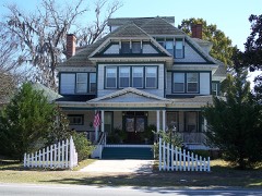 | Bishop-Andrews Hotel | building | 1990 | 90001002 |
 | W.T. Davis Building | building | 2015 | 15000074 |
 | Dial-Goza House | building | 1973 | 73000585 |
 | First Baptist Church | building | 1978 | 78000953 |
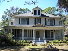 | Jordan-Beggs House | building | 1997 | 97000557 |
| Madison County Training School | district | 2024 | 100010496 | |
 | Dr. Chandler Holmes Smith House | building | 1998 | 98000263 |
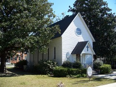 | St. Mary's Episcopal Church | building | 1997 | 97000351 |
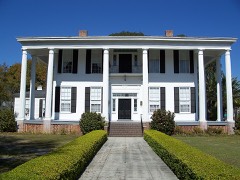 | Wardlaw-Smith House | building | 1972 | 72000339 |
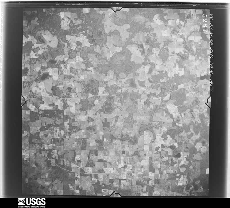
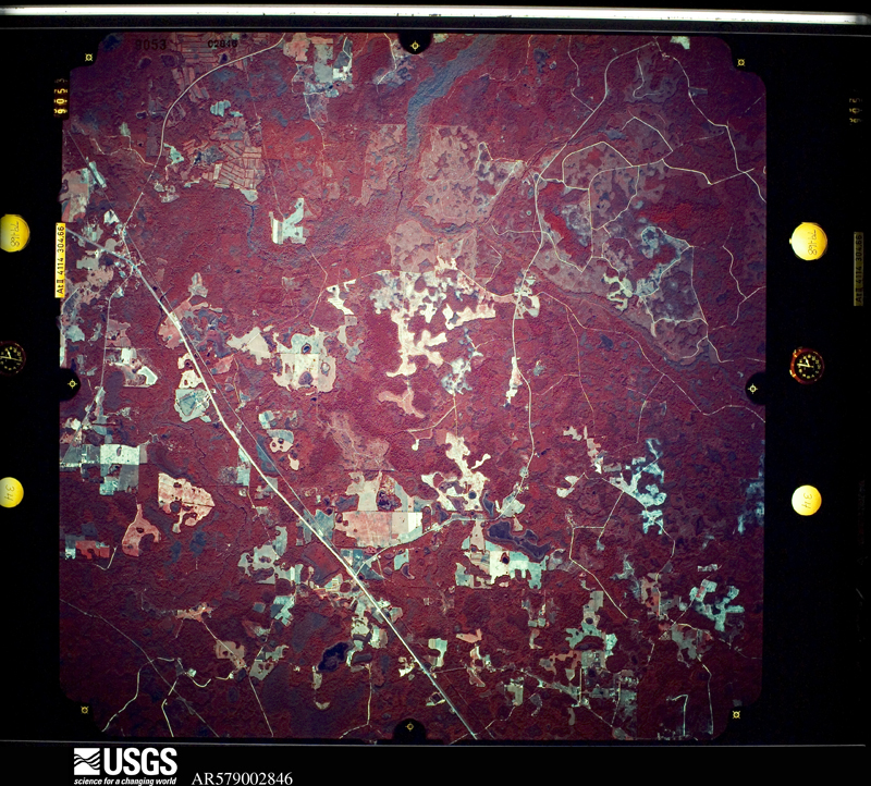
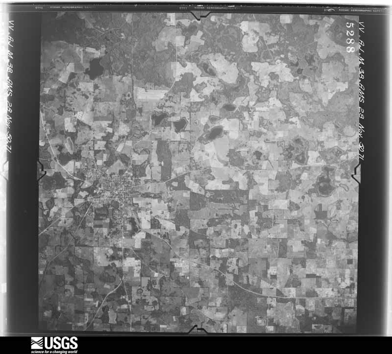
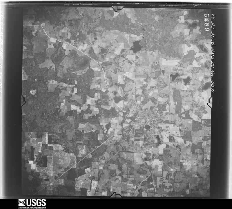
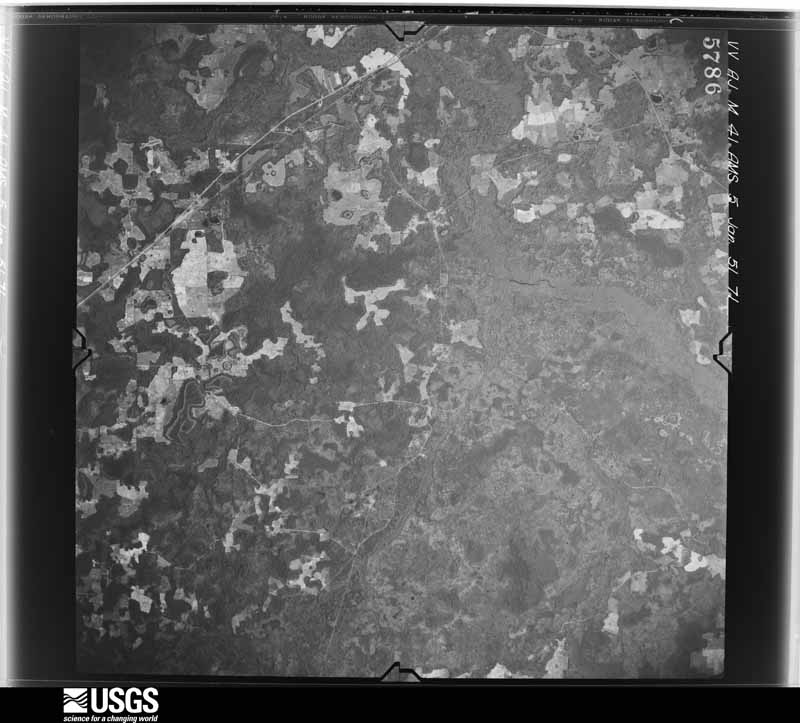
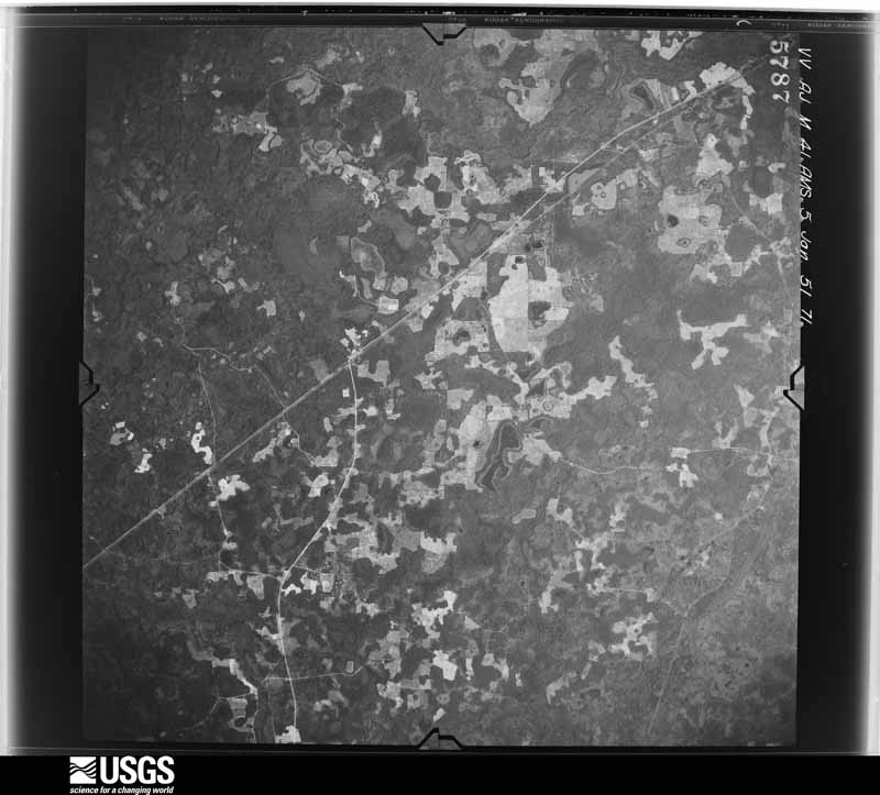
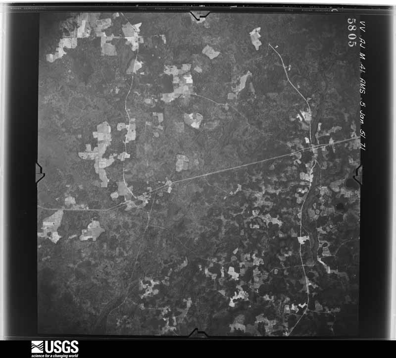
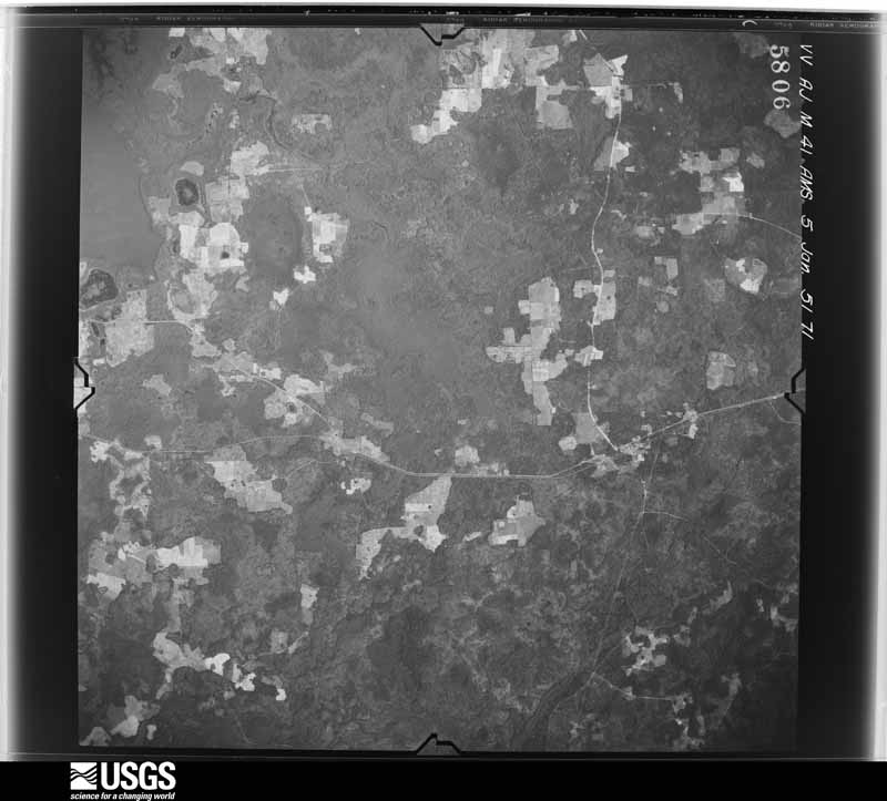
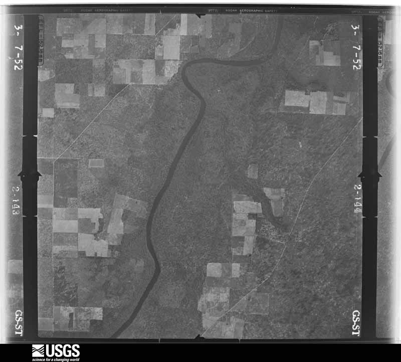
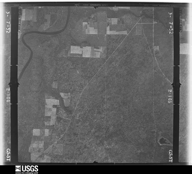
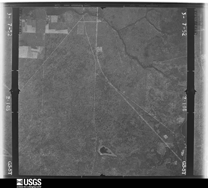
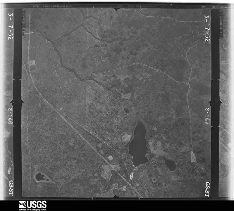
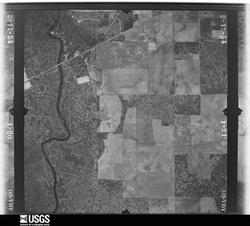
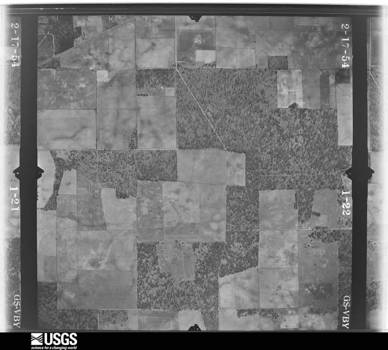
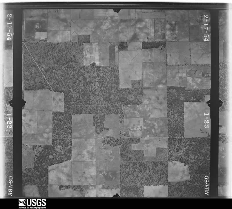
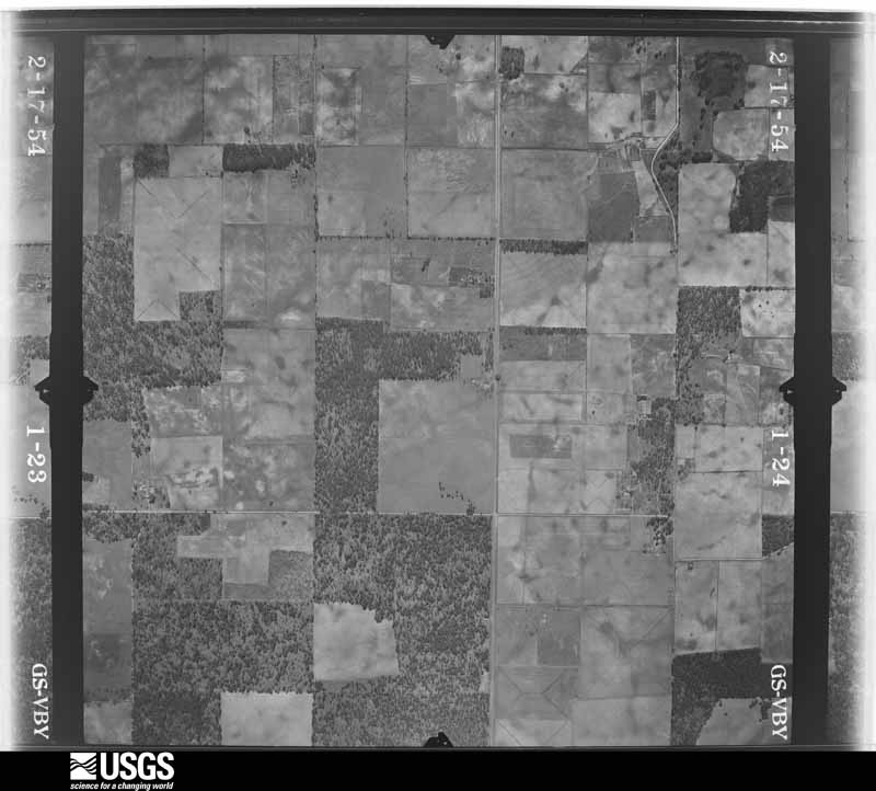
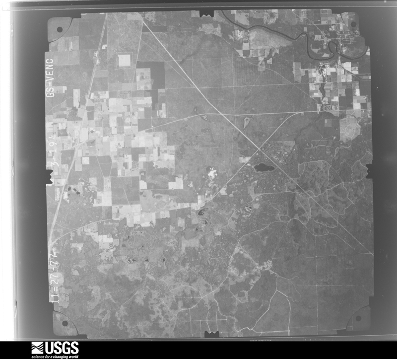
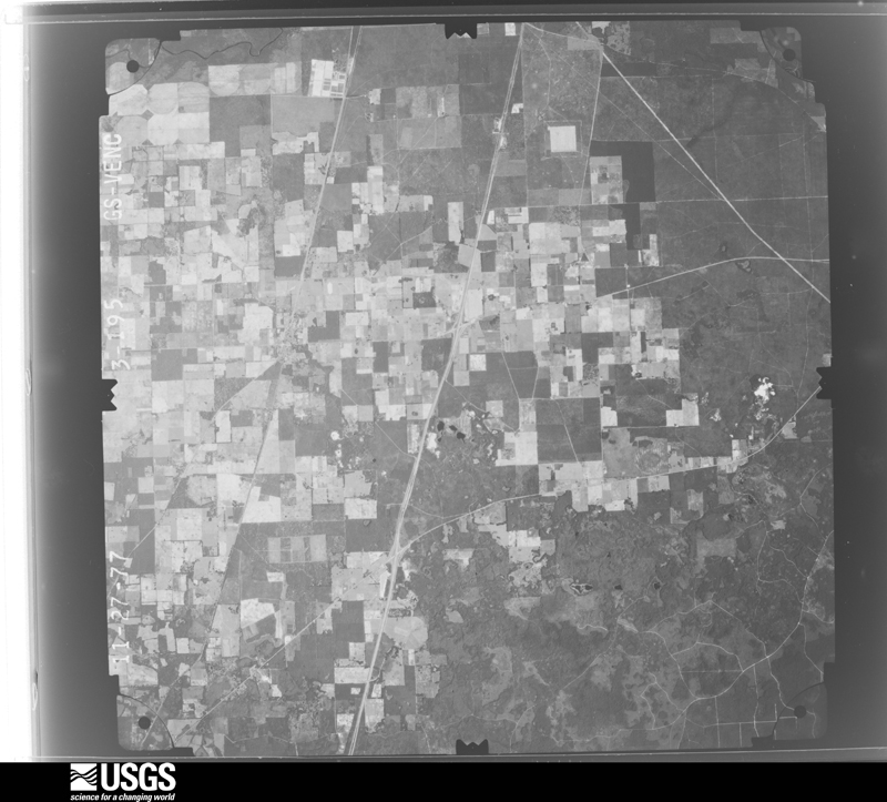
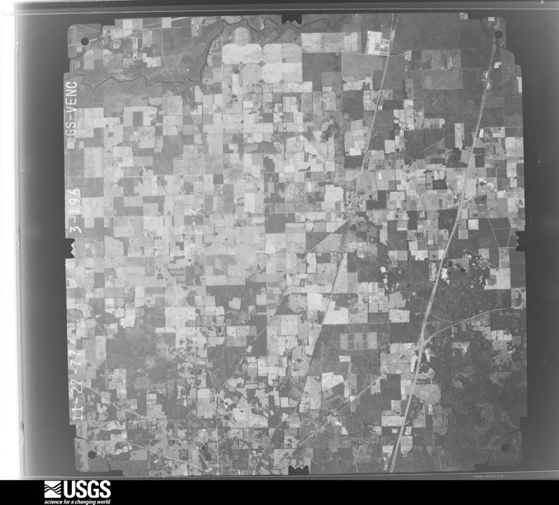
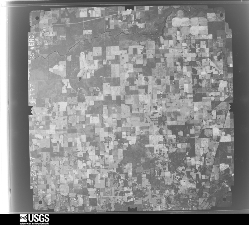
Flown by the U.S. Geological Survey between 1937 and 1989, the Aerial Photo Single Frames collection is the definitive mid-century view of the land: fields, roads and rivers as the camera saw them. The Survey holds 1,456 frames inside the rectangle that bounds this county; the 24 frames below were taken over the county itself, chosen across the decades of flights (at most four a year from that rectangle), so one flight cannot crowd out the rest. The full set is free to browse and download at EarthExplorer under the dataset Aerial Photo Single Frames.




The thermometers that kept this county's weather, and the gages that measured the flow of its streams, as the federal records hold them. The extremes below are measured values from those records, not estimates.
Who lived here in 1950, one enumeration district at a time, as the Census Bureau described each district. Each row opens its official National Archives result, with Population Schedules and ED Maps available there.
Every wildfire the federal occurrence database records inside this county: 1,273 of them, burning about 7,404 acres. 100 started naturally and 38 were recorded as arson. Each settlement page carries the fires within five miles of it.
| Reported cause | Fires |
|---|---|
| Debris and open burning | 400 |
| Equipment and vehicle use | 272 |
| Railroad operations and maintenance | 150 |
| Missing data/not specified/undetermined | 141 |
| Natural | 100 |
| Power generation/transmission/distribution | 66 |
| Recreation and ceremony | 43 |
| Arson/incendiarism | 38 |
| Misuse of fire by a minor | 27 |
| Smoking | 16 |
| Other causes | 15 |
| Fireworks | 5 |
The five largest, by the area the report gives. One of them was set deliberately.
| Date | Cause | Size | Reported by | Name on the report |
|---|---|---|---|---|
| 24 May 1992 | Natural | 2,200 acres | Florida Forest Service | not named |
| 2 April 2017 | Arson/incendiarism | 482 acres | Florida Forest Service | MADISON MAINLINE (40) |
| 21 July 2000 | Natural | 200 acres | Florida Forest Service | not named |
| 24 August 2000 | Natural | 120 acres | Florida Forest Service | not named |
| 24 March 2002 | Equipment and vehicle use | 98 acres | Florida Forest Service | not named |
| 20 November 2001 | Equipment and vehicle use | 85 acres | Florida Forest Service | not named |
| 22 March 2007 | Recreation and ceremony | 77 acres | Florida Forest Service | 40-HIKE LAKE-0133 |
| 30 May 2002 | Natural | 70 acres | Florida Forest Service | not named |
Every settlement page carries the fires within five miles of it - see the settlement index below.
The NOAA Storm Events Database holds 382 reports for this county, causing 6 deaths, 30 injuries and about $40,543,150 in recorded property damage. Each settlement page carries the reports that name it.
| Kind of event | Reports |
|---|---|
| Thunderstorm Wind | 280 |
| Hail | 35 |
| Tornado | 23 |
| Flash Flood | 18 |
| Heavy Rain | 11 |
| Flood | 8 |
| Lightning | 5 |
| Wildfire | 1 |
| Funnel Cloud | 1 |
The most serious of them, by death, then injury, then recorded damage. The accounts are quoted exactly as the forecast office filed them.
| When | Event | Place named | Harm | What the report says |
|---|---|---|---|---|
| April 1988 | Tornado (F3) | not stated | 4 killed, 18 hurt, $25,000,000 | no account filed |
| November 1988 | Tornado (F2) | not stated | 1 killed, 3 hurt, $25,000 | no account filed |
| April 2009 | Flood | Lee | 1 killed | An elderly man drowned outside his home near the Blue Springs boat landing on the Withlacoochee River. |
| July 2000 | Lightning | Greenville | 2 hurt, $300,000 | Lightning sparked a fire which completely destroyed a mansion home two and a half miles off of State Road 221 on Sundown Creek Road. Three of the four residents escaped unharmed, but two firefighters were injured while tackling the blaze. Several county fire and volunteer fire departments responded. Reported by the Madison Enterprise Recorder. |
| June 2008 | Thunderstorm Wind | Madison | 2 hurt, $10,000 | A severe thunderstorm blew down several trees. Two Lee teens were injured in an automobile accident when their Jeep collided with an oak tree that fell on Old Blue Springs Road. |
| June 1999 | Lightning | Greenville | 2 hurt | Madison County EMA reported two youths injured by lightning at the Greenville Academy. |
| June 2001 | Tornado (F1) | Greenville | 1 hurt, $200,000 | An F1 tornado touched down near Lake Logan Road north of U.S. Highway 90. The tornado destroyed three double wide trailers, flipped over several vehicles, and downed numerous trees and power lines. One person sustained minor injuries from flying debris. Reported by the Madison County EMA. |
| December 1969 | Tornado (F2) | not stated | 1 hurt, $2,500 | no account filed |
| June 2008 | Lightning | Madison | 1 hurt | Lightning struck and injured a young boy while has was walking along State Road 53. He was transported to the hospital in serious condition. |
| August 2024 | Flood | Hopewell | $5,000,000 | Long duration areal flooding occurred across southeast Madison county due to heavy rainfall of around 12 inches from Hurricane Debby. The Ragans Family Campground was flooded and forced to close, which resulted in a few hundred campers being evacuated. Other homes and rural roads were inundated in the area. The flooding was slow to recede in some areas and lasted all the way through August 26th. |
| February 1994 | Thunderstorm Wind | Madison | $5,000,000 | Thunderstorm downburst winds estimated near 100 mph toppled numerous trees which fell on buildings along a 15 mile path through central Madison County. The greatest destruction occurred when an FHP Drivers License mobile home valued at $125,000 was completely destroyed and a nearby FHP station damaged. Madison County High School suffered $500,000 damage, mainly to its gymnasium and other athletic facilities. Seventy-five homes and businesses sustained a total of $300,000 damage. |
| April 2009 | Flood | Pinetta | $3,500,000 | Moderate to record flooding along the Withlacoochee River closed several roads, including County Roads 145 and 150 east of Pinetta to the bridge. Many homes along the river were flooded, with evacuations on April 5 and 6. Oakhill Road flooded at 65 feet. Several dirt roads were washed out. |
| May 2024 | Tornado (EF1) | Sirmans | $100,000 | The tornado initially touched down in Jefferson county just north of the intersection of Hall Road and S Salt Road where it twisted, uprooted, and snapped many young pine trees on the side of the road as it moved southeast. The Jefferson county portion of this tornado was rated EF0. The tornado would first reach EF1 intensity as it crossed SW Mount Olive Church Road in Madison County where numerous trees were uprooted and a trailer was damaged. The tornado would then begin a more easterly trajectory where trees were snapped along the Madison-Taylor county line. It would continue east-northeast through Madison county mostly through rural areas producing concentrated areas of EF1 damage to pine and oak trees throughout the duration. The tornado would continue its path over farmland just south of state route 8, tipping and twisting many irrigation spickets as well as snapping and uprooting adjacent trees. The tornado would dissipate over a field just west of the Madison-Suwannee county border. This tornado was rated as an EF1 with maximum winds of 100 mph and a maximum width of 1300 yards. |
| November 2020 | Tornado (EF1) | Hamburg | $100,000 | This tornado initially touched down near NW Little Cat Road in Madison County. Significant tree damage and minor structural damage was noted at a home along County Road 150. The tree damage intensified as the tornado moved northeast across a quail farm along Boggy Bay Road. Significant tree damage and damage to farm outbuildings suggests EF-1 intensity. This was the tornado's widest point. The path narrowed as it crossed County Road 253 where a significant number of snapped pine trees was noted. The tornado then weakened, with no other known structural damage, before lifting just southwest of State Road 53 near the Florida-Georgia line. Maximum winds are estimated to be 105 mph with a maximum width of 475 yards. Thanks to Madison County Emergency Management and Florida Division of Emergency Management for help with the survey. |
| April 2011 | Thunderstorm Wind | Greenville | $100,000 | A home was destroyed by a falling tree. The monetary damage figure provided is a rough estimate. |
| August 2008 | Flash Flood | Greenville | $100,000 | Many roads and low lying areas in and around Greenville were flooded. Pond overflowed and covered portions of U.S. Highway 90. Rainfall amounts ranged from four to eight inches across eastern portions of the county, to as much as sixteen inches over western portions. |
| September 2007 | Lightning | Madison | $100,000 | Lightning caused extensive damage to the county jail and EOC, with communications down for several hours. |
| February 2006 | Hail | Cherry Lake | $100,000 | Golfball size hail caused extensive damage to a home and destroyed lawn furniture at Cherry Lake. It also dented several vehicles and cracked windshields. Reported by a HAM radio operator and the Madison County Carrier. |
| August 1999 | Lightning | Madison | $100,000 | Madison County EMA reported a wood frame house destroyed by fire as a result of a lightning strike. |
| September 2000 | Flash Flood | Countywide | $75,000 | The Madison county EMA reported several county roads closed to high water after four inches of rain had accumulated since midnight. |
| June 1999 | Thunderstorm Wind | Lee | $75,000 | Straight-line winds ripped tin roofs off 13 chicken houses and blew over a feed tank. A roof was blown off a barn and debris was strewn across SR 255. |
| March 2020 | Tornado (EF0) | Madison | $50,000 | A business suffered roof uplift and had a window blown in. There was significant water damage inside the business. There was an outbuilding damaged at the south Duval Street location as well. There was also scattered minor tree damage in the area. This tornado was rated EF0 with max winds estimated at 75 mph. Damage cost was estimated. |
| July 2002 | Thunderstorm Wind | Madison | $50,000 | A hog barn was destroyed, and the roof off a neighboring barn was ripped off. Several headstones and the graveyard were damaged by a downed tree at the Bethlehem Missionary Baptist Church. From County Road 158 to Highway 14, there were numerous downed trees. Reported by the Madison County EMA. |
| December 2018 | Tornado (EF1) | Hamburg | $25,000 | An EF1 tornado with 100 mph winds touched down in Madison County early Monday morning. The path length was 2.17 miles. One mobile home was shifted off its blocks. A small outbuilding was swept off its foundation and rolled several feet. Another mobile home nearby was shifted slightly and the blocks underneath are now tilted. Considerable tree damage was present throughout the path. There were no injuries or fatalities. |
| August 2008 | Thunderstorm Wind | Hanson | $25,000 | A tree was blown down onto a home. Several power lines and trees were down off State Road 145 on Delphinium Drive. |
| September 1998 | Tornado (F0) | Hopewell | $25,000 | A convenient store received minor damage and several trees were uprooted when a F0 tornado briefly touched down at the intersection of FL 360 and Interstate 10. |
| December 1983 | Tornado (F1) | not stated | $25,000 | no account filed |
| October 1976 | Tornado (F1) | not stated | $25,000 | no account filed |
| May 2024 | Thunderstorm Wind | Lee | $20,000 | A fallen tree damaged a vehicle along Old Logging Trail. |
| April 2011 | Thunderstorm Wind | Pinetta | $20,000 | A tree fell on a home near Pineta with tree damage along NE Persimmon Drive. The monetary damage figure provided is a rough estimate. |
| April 2011 | Thunderstorm Wind | Madison | $20,000 | Multiple trees were blown down across the county with one tree on a home in Madison. The monetary damage figure provided is a rough estimate. |
| May 1999 | Hail | Madison | $15,000 | Madison County EMA reported several vehicles damaged by half dollar size hail. |
| July 1998 | Thunderstorm Wind | Sirmans | $15,000 | no account filed |
| May 2024 | Thunderstorm Wind | Sirmans | $10,000 | Several trees were blown down along SW Mt Gilead Road with damage to a trailer as well. |
| August 2023 | Thunderstorm Wind | Greenville | $10,000 | A tree blew down into the westbound lanes of I-10 at Mile Marker 241 and struck a truck. |
| May 2011 | Thunderstorm Wind | Hopewell | $10,000 | At least a dozen trees were blown down around the south-central part of the county. The monetary damage figure provided is a rough estimate. |
| June 2009 | Thunderstorm Wind | Pinetta | $10,000 | A few trees were down. One tree fell on a mobile home. |
| August 2008 | Thunderstorm Wind | Cherry Lake | $10,000 | Several trees and power lines were down along a half mile portion of Highway 150 from the Cherry Lake intersection to NW Fire Fly Way. A home on NW Fire Fly Way sustained minor damage to a large shed. Several trees were snapped. |
| August 2008 | Thunderstorm Wind | Madison | $10,000 | Straight line winds toppled numerous trees and power lines, with some across county roads. Nearly 1,500 customeres were without power. |
| March 2002 | Flash Flood | Countywide | $10,000 | Numerous county roads were closed. Between six and 10 inches of rain was recorded. |
| June 1998 | Thunderstorm Wind | Southwest Portion | $10,000 | Billboard sign destroyed and numerous trees down on back roads south of Interstate Highway 10. |
| June 2010 | Thunderstorm Wind | Madison | $9,500 | Several trees and power lines down from Madison to just south of Lee on Highway 255. One tree fell on a house in Madison. The monetary damage figure provided is a rough estimate. |
| August 2011 | Thunderstorm Wind | Greenville | $7,500 | Eight to ten trees were blown down along Highway 90 West of Greenville and completely blocked the road. The monetary damage figure provided is a rough estimate. |
| June 2010 | Thunderstorm Wind | Greenville | $7,000 | One tree was blown down onto a car and several power lines were down. The monetary damage figure provided is a rough estimate. |
| June 2023 | Thunderstorm Wind | Hanson | $5,000 | Multiple trees and power lines were blown down across Madison county. |
| April 2021 | Thunderstorm Wind | Cherry Lake | $5,000 | One house had roof damage in the Cherry Lake area with several trees and power lines down in the northern part of the county. |
| June 2018 | Thunderstorm Wind | Pinetta | $5,000 | Photos show a bent metal ham radio antenna and satellite dish as well as some damage to an awning of a house. Damage cost was estimated. |
| September 2012 | Thunderstorm Wind | Hopewell | $5,000 | Numerous trees were blown down on Highway 14. Monetary damage was estimated. |
| April 2011 | Thunderstorm Wind | Lee | $5,000 | Multiple trees were blown down along County Road 255 just south of Lee. The monetary damage figure provided is a rough estimate. |
| February 2009 | Thunderstorm Wind | Madison | $5,000 | Numerous trees and scattered power lines were down. Trees blocked one lane of U.S. Highway 90 west of Madison. Power outages were reported in Madison. |
| March 2007 | Tornado (EF1) | Cherry Lake | $5,000 | An EF-1 tornado developed quickly and touched down near Cherry Lake. The tornado snapped and uprooted trees along County Road 471. It also damaged the porch and roof of a home. A vehicle was damaged by fallen trees. About 130 acres of planted pine trees were also destroyed. |
| July 2006 | Thunderstorm Wind | Cherry Lake | $5,000 | A tin roof on a shed was blown off. Numerous trees were down near Cherry Lake Circle. Reported by a SKYWARN storm spotter. |
| June 2004 | Thunderstorm Wind | Madison | $5,000 | Downed trees along Interstate 10. A few trees fell on a house. Reported by the Madison County EMA. |
| November 2004 | Tornado (F1) | Lovett | $5,000 | A tornado touched down briefly and downed numerous trees just east of Hamburg. Reported by the Madison County EMA. |
| July 2003 | Thunderstorm Wind | Countywide | $5,000 | Numerous downed trees and power lines on Highways 90 and 53 reported by the Madison County EMA. |
| February 1998 | Thunderstorm Wind | Madison | $5,000 | Thunderstorm winds downed trees along State Highway 53 10 miles south-southeast of Madison. |
| December 2012 | Thunderstorm Wind | Madison | $4,000 | Scattered trees were blown down around the county, including near Madison. Monetary damage was estimated. |
| June 2019 | Thunderstorm Wind | Madison | $3,000 | Fallen trees or limbs resulted in a power outage along NE Shrine Club Road via the Duke Energy outage website. |
| June 2018 | Thunderstorm Wind | Lee | $3,000 | Trees and power lines were blown down south of Lee. |
| June 2018 | Thunderstorm Wind | Lee | $3,000 | Trees and power lines were blown down near Highway 255 and Gladioli Road. |
The Survey's mineral resources record lists 1 working inside this county. It is closed or unrecorded. Each settlement page carries the workings within five miles of it.
| Commodity | Workings |
|---|---|
| Sand | 1 |
The least common of them first, because a county's hundredth gravel pit says nothing its first ten did not.
| Where | Site | Commodity | Status | Recorded |
|---|---|---|---|---|
| White Construction Company, Inc. - William R Washington Mine | Sand | Unknown | Sand |
Named settlements recorded in the Geographic Names Information System, each with the topographic sheets covering it. Villages, hamlets and abandoned places alike. Each is shown with the nearest named watercourse or landform and the survey quadrangle it falls on.
Greenville census division · 32331 · Greenville quadrangle
9 sheets, 1954 to 1979
No longer a settlement
Madison census division · 32350 · Pinetta quadrangle
9 sheets, 1954 to 1981
No longer a settlement
Greenville census division · 32331 · Near Mays Island · Hamburg quadrangle
8 sheets, 1954 to 1981
Greenville census division · 32331 · Greenville quadrangle
9 sheets, 1954 to 1979
No longer a settlement
Greenville census division · 32331 · Ashville quadrangle
7 sheets, 1954 to 1981
No longer a settlement
Greenville census division · 32336 · Lamont SE quadrangle
10 sheets, 1954 to 1979
No longer a settlement
Greenville census division · 32331 · Greenville quadrangle
9 sheets, 1954 to 1979
No longer a settlement
The vanished settlements of Madison County: the places named above that are no longer on the map.