 Block
BlockFrom the record
3 National Register listings published here, 1 of them a National Historic Landmark.
Sources: the National Register database, National Park Service
41 topographic sheets cover 16 settlements here, and 3 properties are on the National Register of Historic Places.
3 National Register listings published here, 1 of them a National Historic Landmark.
Sources: the National Register database, National Park Service
Every property in this county listed on the National Register of Historic Places, with the year it was listed and the federal nomination document.
| Photograph | Property | Type | Listed | Reference |
|---|---|---|---|---|
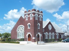 | First Methodist Episcopal Church, South | building | 2015 | 15000509 |
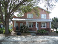 | Freedman-Raulerson House | building | 1985 | 85000764 |
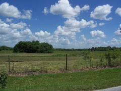 | Okeechobee Battlefield | site | 1966 | 66000269 |
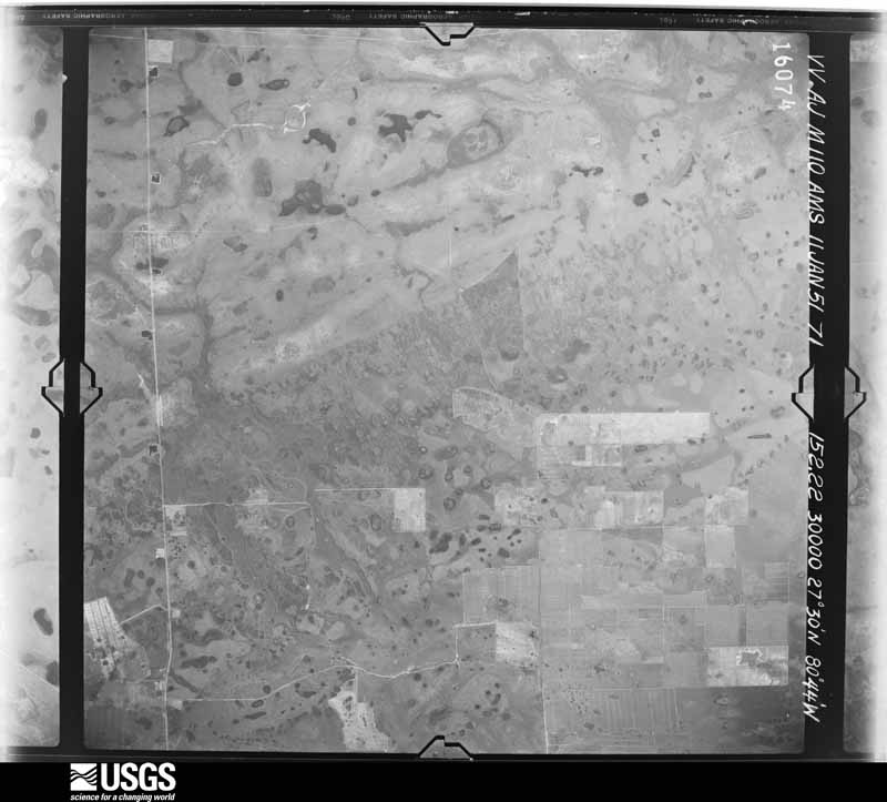
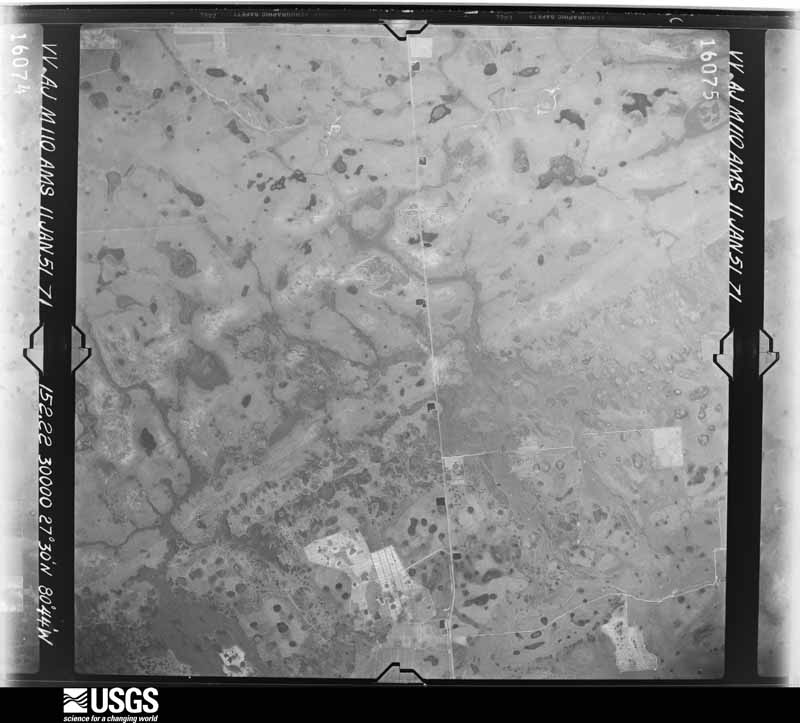
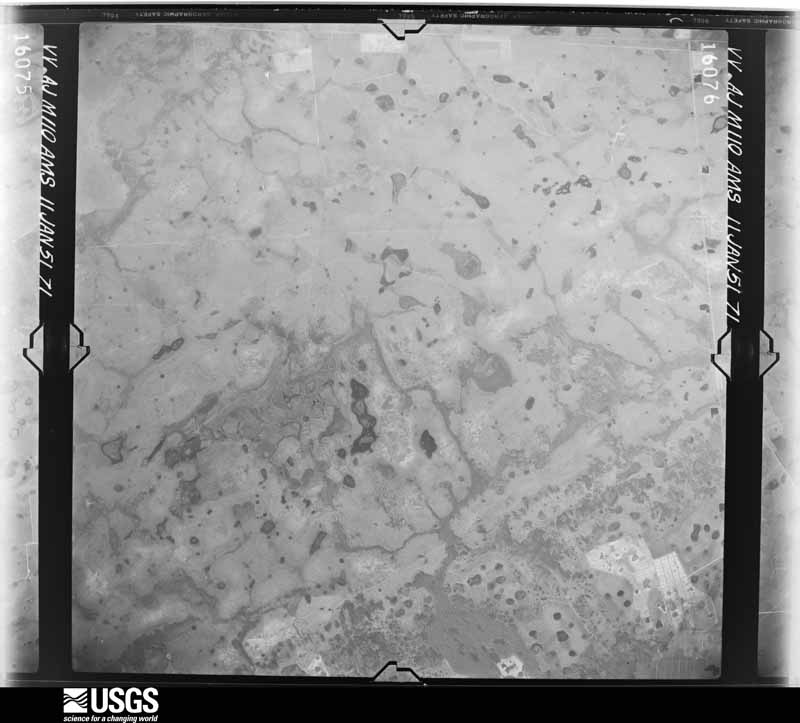
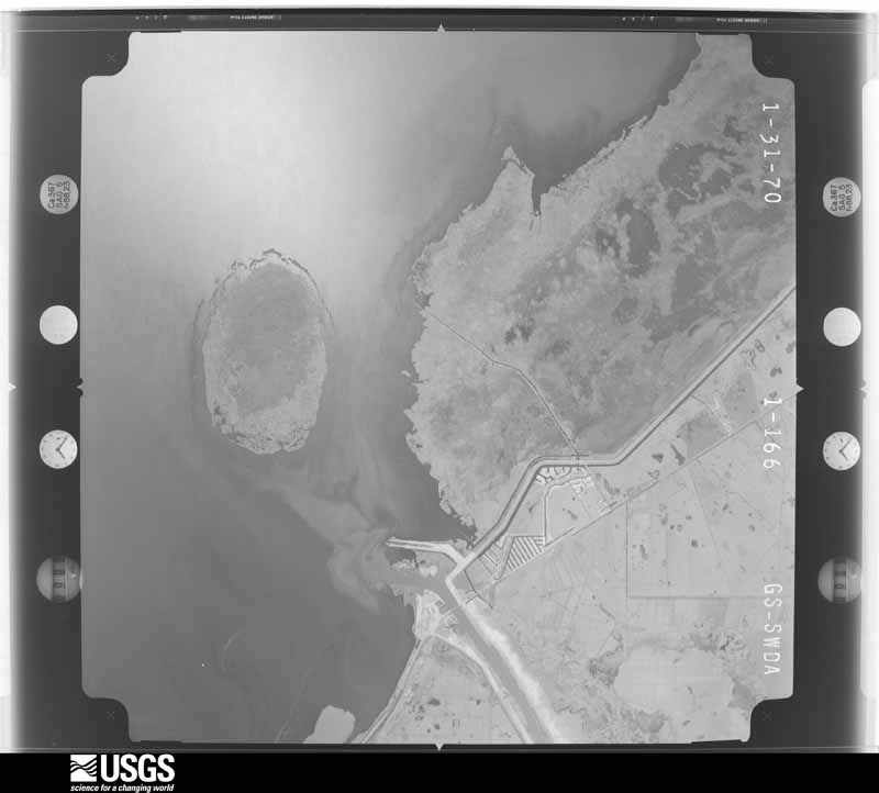
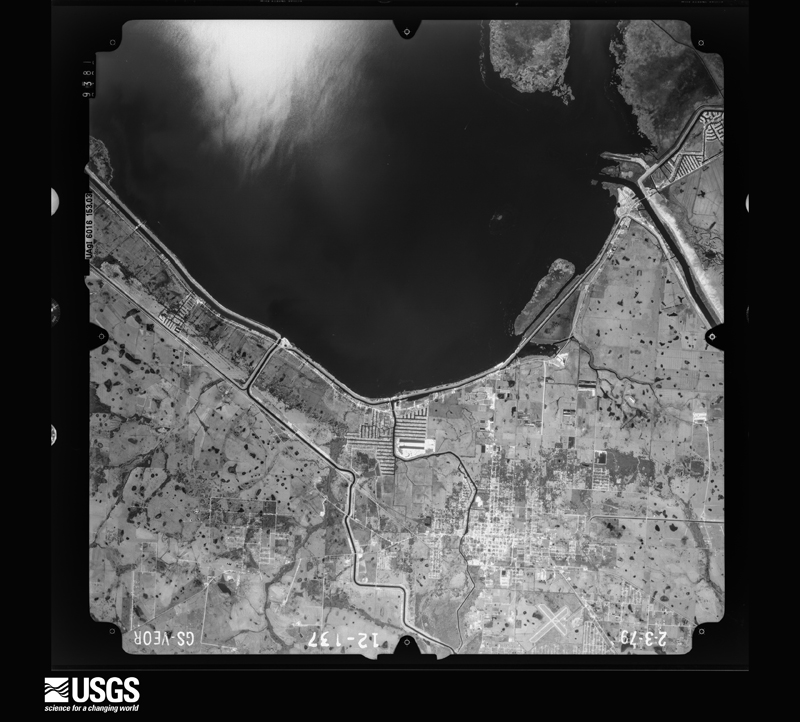
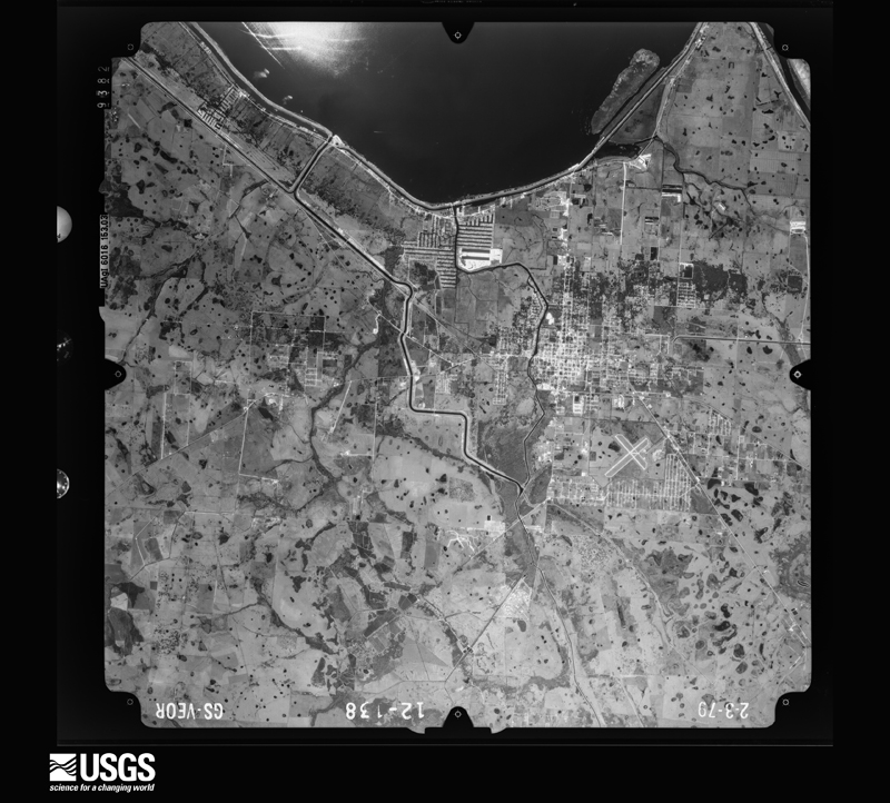
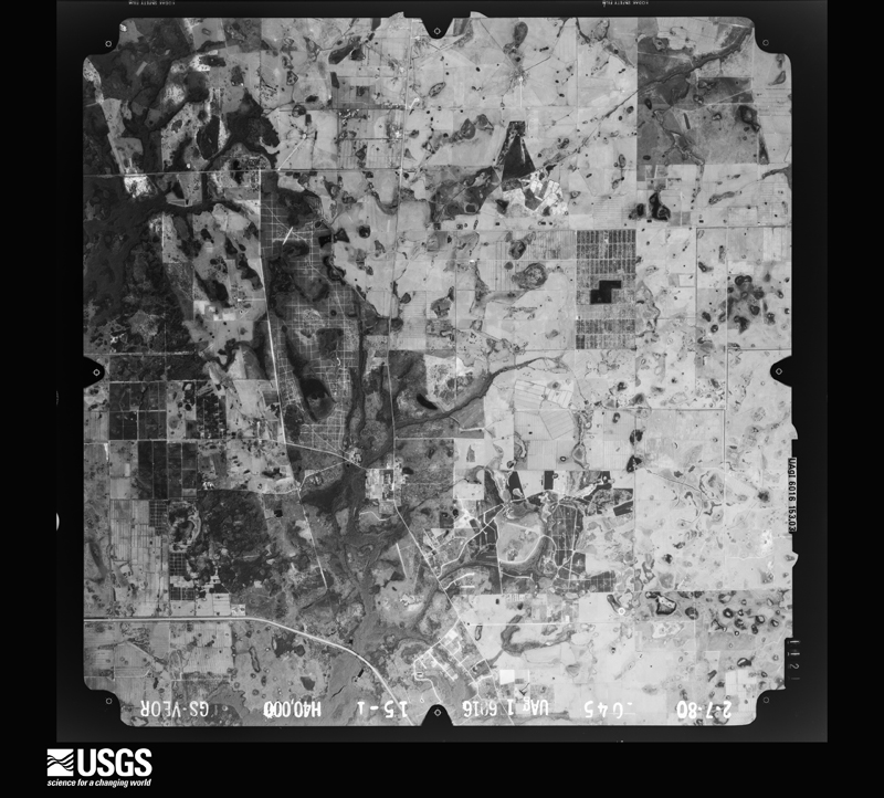
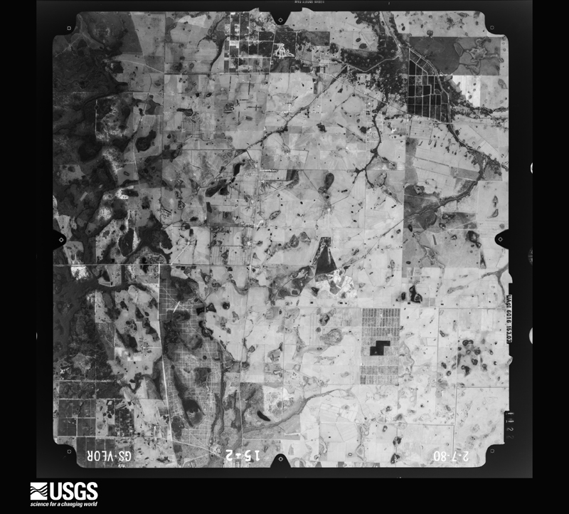
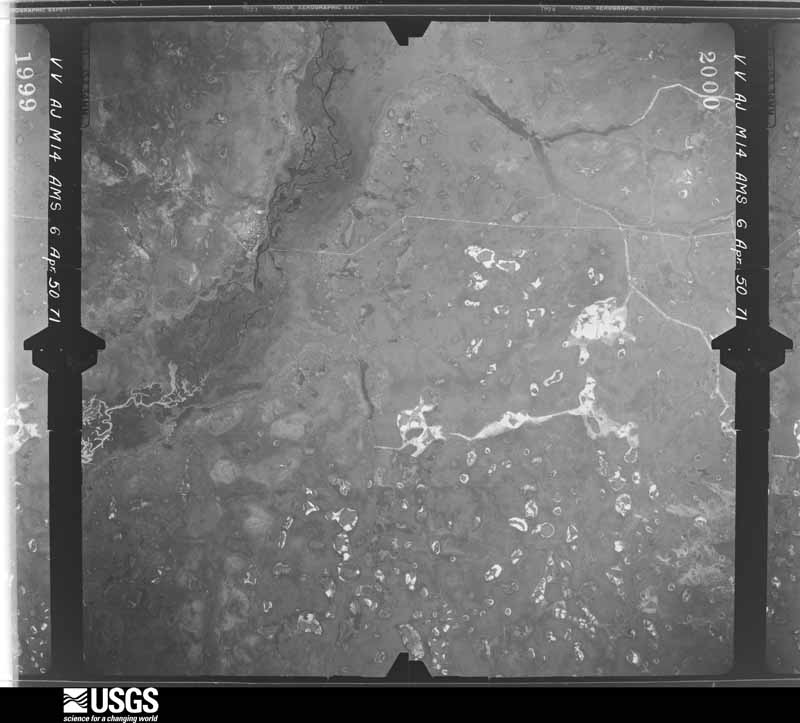
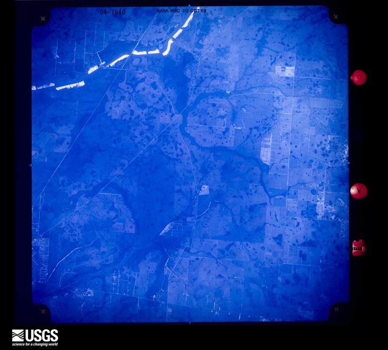
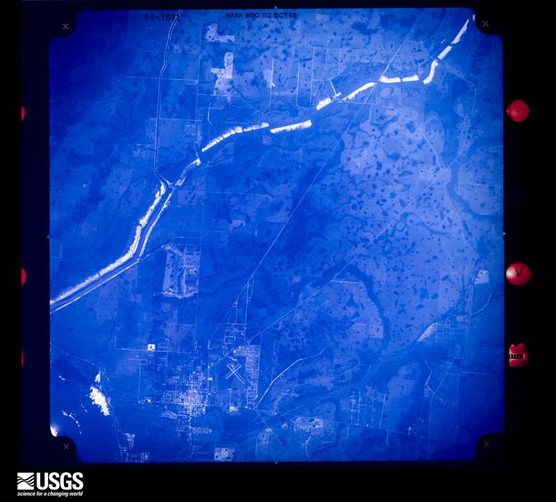
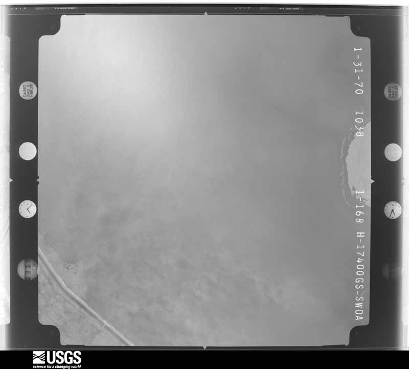
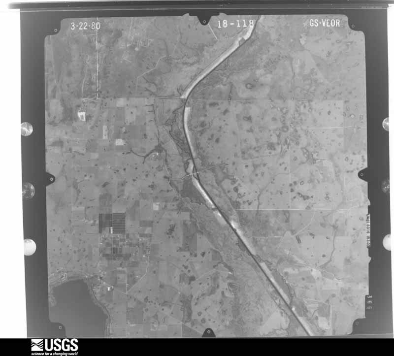
Flown by the U.S. Geological Survey between 1937 and 1989, the Aerial Photo Single Frames collection is the definitive mid-century view of the land: fields, roads and rivers as the camera saw them. The Survey holds 722 frames inside the rectangle that bounds this county; the 24 frames below were taken over the county itself, chosen across the decades of flights (at most four a year from that rectangle), so one flight cannot crowd out the rest. The full set is free to browse and download at EarthExplorer under the dataset Aerial Photo Single Frames.





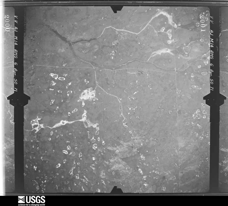
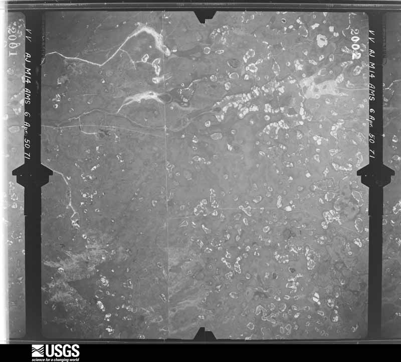

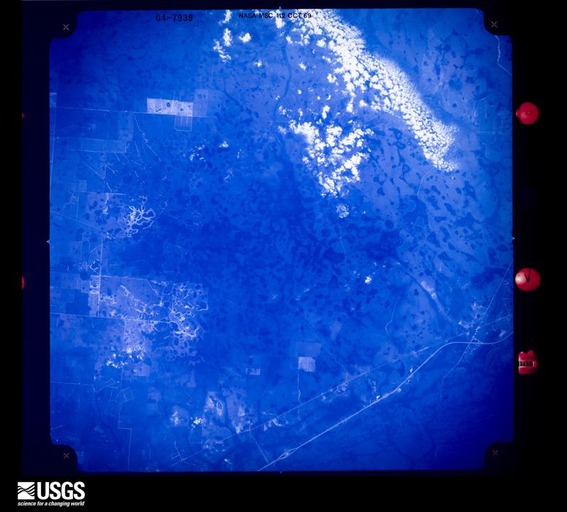
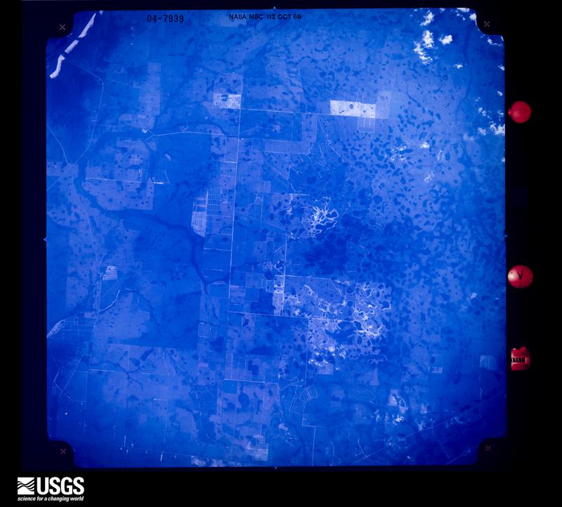

The thermometers that kept this county's weather, and the gages that measured the flow of its streams, as the federal records hold them. The extremes below are measured values from those records, not estimates.
Who lived here in 1950, one enumeration district at a time, as the Census Bureau described each district. Each row opens its official National Archives result, with Population Schedules and ED Maps available there.
Every wildfire the federal occurrence database records inside this county: 1,713 of them, burning about 70,245 acres. 380 started naturally and 60 were recorded as arson. Each settlement page carries the fires within five miles of it.
| Reported cause | Fires |
|---|---|
| Natural | 380 |
| Debris and open burning | 315 |
| Missing data/not specified/undetermined | 269 |
| Railroad operations and maintenance | 242 |
| Equipment and vehicle use | 219 |
| Power generation/transmission/distribution | 85 |
| Misuse of fire by a minor | 63 |
| Arson/incendiarism | 60 |
| Recreation and ceremony | 50 |
| Smoking | 17 |
| Fireworks | 7 |
| Other causes | 6 |
The five largest, by the area the report gives. None of them was recorded as arson.
| Date | Cause | Size | Reported by | Name on the report |
|---|---|---|---|---|
| 15 April 2001 | Railroad operations and maintenance | 17,000 acres | Florida Forest Service | PARK FIRE |
| 16 May 2002 | Natural | 4,835 acres | Florida Forest Service | not named |
| 20 February 2008 | Debris and open burning | 4,018 acres | Florida Forest Service | (OK) PRAIRIE (0143) |
| 29 May 2011 | Natural | 3,175 acres | Florida Forest Service | GUM SLOUGH (47 ) |
| 11 June 2009 | Natural | 2,864 acres | Florida Forest Service | (OK) MIDNIGHT (0564) |
| 15 February 2001 | Missing data/not specified/undetermined | 1,960 acres | Florida Forest Service | RANCH COMMAND |
| 4 February 2018 | Missing data/not specified/undetermined | 1,320 acres | Florida Forest Service | CHIP (47) |
| 20 February 2007 | Debris and open burning | 1,131 acres | Florida Forest Service | BIG SPLASH |
Every settlement page carries the fires within five miles of it - see the settlement index below.
The NOAA Storm Events Database holds 138 reports for this county, causing 8 deaths, 73 injuries and about $15,506,950 in recorded property damage. Each settlement page carries the reports that name it.
| Kind of event | Reports |
|---|---|
| Thunderstorm Wind | 52 |
| Hail | 46 |
| Tornado | 27 |
| Funnel Cloud | 7 |
| Flood | 5 |
| Flash Flood | 1 |
The most serious of them, by death, then injury, then recorded damage. The accounts are quoted exactly as the forecast office filed them.
| When | Event | Place named | Harm | What the report says |
|---|---|---|---|---|
| June 1972 | Tornado (F2) | Taylor Creek | 6 killed, 44 hurt, $500,000 | A tornado cut a path up to 150 yards wide and 4.5 miles long as it moved north from Taylor Creek, affecting Treasure Island Park, a fishing lodge and several other mobile home parks. Six people were killed and 44 were injured (many seriously). Over one hundred mobile homes were destroyed or heavily damaged. Property damage was estimated near $500,000. Note: this event was added in 2018, following a reanalysis by NWS Melbourne. |
| September 1982 | Tornado (F2) | not stated | 1 killed, 7 hurt, $250,000 | no account filed |
| May 1996 | Tornado (F0) | Okeechobee | 1 killed, $50,000 | no account filed |
| March 1998 | Tornado (F1) | Okeechobee | 10 hurt, $5,400,000 | An F1 tornado touched down along the north shore of Lake Okeechobee near Highway 441. The tornado moved northeast though Okeechobee damaging six businesses and nine homes. Thirteen mobile homes and recreational vehicles were destroyed. About 100 others were damaged. Ten people were injured. Two required hospitalization. |
| March 1983 | Tornado (F2) | not stated | 4 hurt, $2,500,000 | no account filed |
| October 2024 | Tornado (EF2) | Okeechobee Co Arpt | 2 hurt, $3,500,000 | A tornado impacted portions of southwest Okeechobee County, where it produced widespread EF-1 and at least some EF-2 damage. Based on radar analysis and public reports, the tornado touched down south of US-98 just northwest of the Okeechobee County Airport. ||The first damage encountered during a NWS Storm Survey was on the path was on US-98 where a manufactured home was lifted from its foundation, stripped from the tie downs, and thrown northward nearly 200 yards while being completely destroyed. Two individuals were injured at this location. A steel/metal barn was damaged on its south side; metal was torn off and the steel structure was bent and twisted. Here, the damage was consistent with both EF-1 and EF-2 winds of 90 - 115 mph.||Along US-98, agricultural irrigation equipment was flipped over. A home suffered partial roof loss and the remaining roof appeared shifted to the north based on columns facing the road. A palm tree was also snapped in half at this property. Along NW 67th Ln, another mobile home was destroyed and a small farm outbuilding collapsed. Maximum winds on this portion of the track ranged from 95 - 110 mph, or EF-1 strength.||From there, the tornado continued into Dixie Ranch Acres. Block by block, multiple homes suffered roof and soffit damage, and many outbuildings were either damaged or destroyed. At least one home lost over 20% of its roof. Substantial tree damage occurred, with many losing large branches. There was at least one instance of a hardwood tree being snapped only feet from the ground. EF-1 winds occurred throughout the path in Dixie Ranch Acres, with winds of 90 - 110 mph.||Beyond this location, no damage was noted as the tornado moved into open pasture. However, based on dual-polarimetric radar data, the tornado continued for approximately 4 miles to the northwest before lifting near NW 160th St. |
| April 2017 | Thunderstorm Wind | Basinger | 2 hurt, $100,000 | A Kissimmee Prairie Preserve biologist reported that a storm flipped over two travel trailers, uprooted several large trees and caused sheet metal to become lodged in a tree. Two people within one of the trailers were injured, one suffered a punctured lung and several broken ribs and the other received very minor injuries. The damage was concentrated in the park from the equestrian campground to the family campground.|Follow-up information from Okeechobee Emergency Management and a NWS damage survey confirmed the impacts were the result of intense straight-line winds estimated near 80 mph, as a cluster of thunderstorms organized into a bow echo, then began to evolve into a supercell while continuing eastward. |
| June 1972 | Tornado (F1) | not stated | 2 hurt, $25,000 | no account filed |
| November 1969 | Tornado (F2) | not stated | 2 hurt, $25,000 | no account filed |
| October 2024 | Tornado (EF1) | Cypress Quarters | $1,200,000 | Based on radar analysis and public video provided to the NWS, the tornado touched down immediately south of SR-70. At this location, irrigation equipment was flipped over, indicative of EF-0 winds of 75 - 85 mph.||The tornado continued northeast to NE 120th St., where an outbuilding suffered damage to its metal roof; the roof was not torn off. Nearby hardwood trees were toppled and large branches were broken off, including at the entrance to Sunshine Grove (the site of the Okeechobee Music Festival). The damage in this area was consistent with EF-0 to EF-1 winds of 75 to 95 mph.||From there, the tornado traveled over mainly undeveloped land on approach to 45th Terrace and NE 224th St. Though no damage was observed due to inaccessibility, dual polarimetric radar indicates that the tornado remained on the ground during this period. Along 45th Terrace, the tornado passed over a portion of a commercial farm. At least two small homes suffered significant roof damage, and a semi truck and attached flatbed trailer were turned on its side. Again, this damage was of EF-0 or EF-1 |intensity.||The most significant damage on its path occurred at the Pine Creek Sporting Club, which is north of NE 224th St. Here, three well-constructed wood frame outbuildings were destroyed. Two of the buildings were at least partially open-front. On two of the buildings, heavy duty posts were sheared off at the ground as the roof gave way. On the third building, some of the posts were ripped out of the ground as the roof was lifted. Debris was strewn a large distance northward from these locations. According to an employee, one UTV was tossed into a live oak tree. The nearby cabins were spared of all but minor damage. Many hardwood trees were either uprooted or large branches snapped. It was concluded that high-end EF-1 damage occurred at the Pine Creek Sporting Club, with winds from 100 - 110 mph.||The tornado continued northwest, passing over open pasture before reaching a stand of hardwood trees along US-441. Many trees along US-441 were snapped; at least a couple were snapped down at the trunk. This was also consistent with EF-1 winds. According to dual polarimetric radar data, the tornado continued a short distance |northwest from this location before lifting to the south of Fort Drum. |
| October 2024 | Tornado (EF2) | Basinger | $900,000 | A tornado occurred, which produced localized EF-1 and EF-2 damage. Based on radar analysis and public video provided to the local emergency manager, the tornado touched down southeast of C & M Rucks Dairy.||While the tornado started over open pasture, damage occurred as it moved over C & M Rucks Dairy on NW 144th Ave. Here, a large steel barn with metal siding suffered a partial collapse on the southeast side, with at least 50% of the building destroyed.|Nearby power poles and lines were downed, and a power pole was snapped. The building damage was consistent with EF-2 winds of 105 to 115 mph. The path width was quite narrow, evidenced by nearby buildings which were untouched.||The tornado moved northwest from there, with sheet metal strewn along and west of NW 203rd St. There was no damage reported north of NW 240th St. Based on this and dual-polarimetric radar data, the tornado most likely lifted immediately south of NW 240th St over open pasture. |
| April 2017 | Tornado (EF2) | Ft Drum | $250,000 | A NWS damage survey found that tornado damage began in Fort Drum, just west of US-441 and NW 358th Boulevard. The tornado continued eastward for 4.1 miles, crossing Highway 441 and the Florida Turnpike before dissipating. While much of the path occurred through an unpopulated area, several streets and mobile homes were impacted. Three mobile homes were destroyed, 1 sustained major damage, 13 had minor damage and an additional two were affected. Many trees were snapped, twisted above the base or uprooted. The tornado reached peak intensity just east of Highway 441, where mobile home and tree damage suggested winds reached near 115 mph (EF-2). There were no casualties as most of the residents in the affected area were not at home during the tornado. DI3, DOD8, EXP-LB; DI27, DOD4, EXP-UB. |
| March 1985 | Tornado (F1) | not stated | $250,000 | no account filed |
| August 2012 | Flood | Okeechobee | $150,000 | Persistent heavy rainbands from Tropical Storm Isaac produced widespread urban and lowland flooding across much of the county. Rainfall from the morning of August 26 until the evening of August 27 averaged 4 to 8 inches, with isolated totals of 10 to 14 inches, most of which fell from early morning until mid day on August 27. The most significant impacts occurred within the City of Okeechobee and adjacent rural locations, including Taylor Creek. Fourteen homes experienced major damage and another 146 had minor water intrusion (from either leaking roofs and/or high levels of standing water, mainly from over-topping local creek/canals. Several roads were temporarily closed due to standing water. |
| August 2003 | Thunderstorm Wind | Okeechobee | $50,000 | Thunderstorms winds swept across the town of Okeechobee damaging 3 roofs, many fences and some screen porches. |
| April 1993 | Tornado (F0) | Okeechobee City | $50,000 | A tornado touched down briefly northeast of Okeechobee City which caused minor structural damage to one residence and uprooted trees. A roof was ripped off a mobile home and the contents were sucked out through the roof. |
| August 2003 | Thunderstorm Wind | Okeechobee | $40,000 | Thunderstorm winds damaged the roof and windows of a house northwest of Okeechobee. |
| April 1997 | Thunderstorm Wind | Okeechobee | $25,000 | Thunderstorm winds blew down trees and damaged the roof of a mobile home and a barn. |
| April 1997 | Thunderstorm Wind | Okeechobee | $25,000 | Thunderstorm winds blew down trees and damaged the roof of a mobile home and a barn. |
| April 1988 | Tornado (F1) | not stated | $25,000 | no account filed |
| April 1980 | Tornado (F0) | not stated | $25,000 | no account filed |
| January 1979 | Tornado | not stated | $25,000 | no account filed |
| May 1998 | Thunderstorm Wind | Okeechobee | $20,000 | Thunderstorm winds damaged carports and blew down large tree limbs. |
| May 2017 | Thunderstorm Wind | Sherman | $10,000 | A large rotten oak tree fell on a mobile home near Okeechobee City as a thunderstorm passed over the area with estimated wind gusts estimated near 40 mph. The fallen tree caused damage to the kitchen and bedroom areas of the mobile home. |
| April 2011 | Thunderstorm Wind | Sherman | $10,000 | Winds from a thunderstorm damaged a carport awning within the Zachary Taylor RV Resort. Nearby a downed tree pierced the roof of fire station number 2. |
| April 2005 | Thunderstorm Wind | Ft Drum | $10,000 | Thunderstorm winds damaged an airplane hanger north of Ft. Drum. |
| June 2003 | Thunderstorm Wind | Okeechobee | $10,000 | Thunderstorm winds damaged the roof of a dairy building north of Okeechobee. |
| January 1999 | Thunderstorm Wind | Okeechobee | $10,000 | Thunderstorm winds blew down a few trees and power lines and a satellite dish in Okeechobee. |
| January 1995 | Thunderstorm Wind | Avon Park | $10,000 | Severe thunderstorm winds blew away the satellite receiver dish at WAVP radio in Avon Park. |
| June 1996 | Thunderstorm Wind | Okeechobee | $10,000 | no account filed |
| August 1999 | Thunderstorm Wind | Okeechobee | $7,000 | Thunderstorm winds seriously damaged the roof of a home northwest of Okeechobee. A 20 foot light pole was blown down and a window was blown out of a home. |
| March 2016 | Hail | Hilolo | $5,000 | A severe thunderstorm produced hail up to golf ball size at the Country Hills Estates, north of the City of Okeechobee. The hail was observed at Okeechobee County Fire Rescue Station 4 near the intersection of Highway 441 and NE 168th Street, and also by nearby residents. The hail reportedly fell for over 5 minutes, Video was obtained. |
| April 2002 | Thunderstorm Wind | Okeechobee | $5,000 | Strong thunderstorm winds swept across U.S. Highway 441 just north of the city of Okeechobee blowing down power lines and a few trees. |
| June 1998 | Thunderstorm Wind | Okeechobee | $5,000 | Thunderstorm winds damaged awnings and carports on mobile homes in Okeechobee. |
| February 1998 | Thunderstorm Wind | Okeechobee | $5,000 | Thunderstorm winds blew down power lines in the town of Okeechobee. |
| July 1995 | Thunderstorm Wind | Mlb | $5,000 | Severe thunderstorms blew down tree and power lines and damaged awnings in the town of Okeechobee. |
| April 1993 | Thunderstorm Wind | Bassinger | $5,000 | A mobile home was moved from its foundation by high winds resulting in minor damage. |
| August 2012 | Thunderstorm Wind | North Okeechobee | $4,000 | Several wooden power poles to the northeast of Okeechobee, near 7200 U.S. Highway 441 North, were tilted by severe thunderstorm winds, with the two poles experiencing broken cross members. While a funnel cloud was reported in the area (see separate event), the wind damage appeared to be due to straight line winds. |
| September 2000 | Thunderstorm Wind | Okeechobee | $3,000 | Thunderstorm winds blew shingles off a roof and damaged a canvas and pole awning. |
| August 2017 | Thunderstorm Wind | Basinger | $2,000 | Okeechobee County Emergency Management forwarded a report and photos of damage at a residence in a rural area along the Kissimmee River between Basinger and Okeechobee. A tree was toppled and several large branches were downed, along with damage to a car and fence nearby. |
| July 2014 | Tornado (EF0) | Sherman | $2,000 | A low-end EF-0 tornado touched down in rural Okeechobee, just south of SE 8th Street, crossed the street, then moved through a line of trees into an open field. Several trees were toppled and a 20 foot by 20 foot light weight shed in the field experienced a direct hit from the tornado and was destroyed. Some light metal debris was lofted into nearby pine trees. After an examination of damage photos, maximum winds were estimated at 60-65 mph. Prior to the damage, several citizens reported seeing a funnel cloud or tornado in the region. |
| April 1995 | Thunderstorm Wind | Ft. Drum | $2,000 | no account filed |
| August 2008 | Flood | Basinger | $1,200 | no account filed |
| May 2011 | Thunderstorm Wind | Ft Drum | $500 | The public reported several roofs being blown off of outhouses and some palmetto palms being blown down north of Okeechobee. Dime sized hail was also observed. |
| July 1959 | Tornado | not stated | $250 | no account filed |
| March 2025 | Thunderstorm Wind | Okeechobee Co Arpt | - | Thunderstorm damage was noted in a southwest to northeast swath between NW 102nd St and NW 110th St near US Hwy 441. Several homes were damaged including partial roof shingle loss, uplift of awnings and porch overhangs, overturned trucks/campers, and significant tree damage. |
| October 2024 | Tornado (EF1) | Ft Drum | - | The tornado has been confirmed using a combination of dual polarimetric data from the KMLB WSR-88D as well as photographic evidence of damage from Florida Power and Light's Fort Drum and Cavendish Solar Farms. ||Based on a tornado debris signature (TDS), touch down occurred in a rural area of Okeechobee County, before the system continued toward the northwest. The circulation intersected the Fort Drum and Cavendish Solar Farms at approximately 1351EST where estimated winds of 80 to 90 mph damaged solar panels across both complexes. Damage cost estimates are not available. ||The tornado continued toward the west-northwest into rural Indian River County where it dissipated south of State Road 60 and east of Florida's Turnpike. |
| June 2023 | Thunderstorm Wind | Okeechobee | - | An analysis of radar imagery, photos, and videos as well as a damage assessment conducted by the Okeechobee County Emergency Management indicate that a straight-line wind event caused damage in the City of Okeechobee around 620 pm EDT on Thursday, Jun 15, 2023. Peak winds during the event were estimated between 65 to 75|mph.||Damaging winds began near the intersection of US Hwy 441 and SE 37th Ct where a fast food restaurant drive-thru awning was lifted and bent. A swath of damage continued toward the northeast across US Hwy 441, where a small section of the roof of a grocery store was torn back. Additionally, a mobile home in the nearby community of Heritage Village lost a part of its roof when its porch awning was torn away by the strong winds. Minor damage was reported at the local flea market facility where some of the metal sheathing of the roof, and a small barn, were blown into the adjacent field and across SE 28th St. Several fallen trees and a downed powerline were also confirmed by fire and emergency management officials. |
| September 2022 | Flood | Okeechobee | - | Heavy rain embedded within the outer bands ahead of Hurricane Ian produced widespread rainfall totals of 2 to 4 inches across Okeechobee County, resulting in isolated reports of street, urban, and poor drainage flooding. Emergency management officials indicated minimal damage to residential and business structures due to flooding. |
| April 2021 | Thunderstorm Wind | Hilolo | - | Okeechobee County Emergency Management relayed reports of wind damage at a local farm in the Dark Hammock area, located near the intersection of NE 120th Street and NE 56th Avenue. Three chicken barns suffered extensive roof damage and one grain storage bin was destroyed. Two trailers parked along a nearby road were also knocked over by the wind. |
| October 2021 | Funnel Cloud | Basinger | - | Multiple trained spotters reported a funnel cloud with a strong thunderstorm over Kissimmee Prairie State Park. |
| May 2020 | Hail | Mildred | - | Hail up to quarter size was observed at the River Bluff RV Resort. |
| March 2018 | Hail | Ft Drum | - | A storm chaser near Fort Drum reported quarter sized hail. |
| August 2017 | Funnel Cloud | Hilolo | - | A weather spotter observed a funnel cloud to his north as he was driving on US Highway 441 at the intersection of NE 240th Street, south of Fort Drum. |
| September 2017 | Flood | Ft Drum | - | Rainbands associated with Hurricane Irma produced rainfall totals between 8 and 14 inches, resulting in areas of urban and poor drainage flooding. Many roadways were impacted by significant levels of standing water and many retention ponds reached capacity or overflowed. The heaviest rain and most significant impacts occurred over the northeast portion of the county, in the Ft. Drum area. |
| February 2015 | Flood | Basinger | - | A slow moving strong storm across Okeechobee County produced 5 to 7 inches of rain across the northwest and central portions of the county during the afternoon and evening, primarily over the Kissimmee Prairie Preserve. The COOP observer at the Kissimmee Prairie Preserve reported 5.69 inches of rain in 24 hours while another range gauge at the park reported 6.92 inches. Most of this rainfall fell in less than 6 hours.||This heavy rainfall led to minor flooding of roadways across Central Okeechobee County. The Kissimmee Prairie observer reported several inches of standing water on local roadways, which remained passable. |
| April 2015 | Hail | Okeechobee | - | Numerous reports via broadcast media and social media of quarter-sized hail in the city of Okeechobee. According to reports, duration of the hail was approximately 10 minutes. |
| April 2015 | Hail | Sherman | - | Broadcast media relayed report from public of golf ball-sized hail that fell in the Ancient Oaks subdivision along US-441 southeast of Taylor Creek. The public estimated that the hail fell for approximately 8 minutes. |
| February 2015 | Hail | Basinger | - | A SKYWARN spotter in The Vikings (also known at The Prairie) subdivision reported 10 to 15 minutes of small hail up to nickel sized associated with a strong storm moving over the area. |
| April 2013 | Hail | Cypress Quarters | - | A report relayed from NSSL indicated nickel size hail fell 5 miles east-northeast of Four Seasons Estates in Okeechobee County. |
The Survey's mineral resources record lists 1 working inside this county. It is closed or unrecorded. Each settlement page carries the workings within five miles of it.
| Commodity | Workings |
|---|---|
| Limestone, General | 1 |
The least common of them first, because a county's hundredth gravel pit says nothing its first ten did not.
| Where | Site | Commodity | Status | Recorded |
|---|---|---|---|---|
| Rucks Shell and Trucking - Rucks Pit | Limestone, General | Past Producer | Limestone |
Named settlements recorded in the Geographic Names Information System, each with the topographic sheets covering it. Villages, hamlets and abandoned places alike. Each is shown with the nearest named watercourse or landform and the survey quadrangle it falls on.
Okeechobee census division · 34972 · Taylor Creek SE quadrangle
14 sheets, 1953 to 1988
North Okeechobee census division · 34972 · On Gore Branch · Basinger quadrangle
13 sheets, 1953 to 1988
Okeechobee census division · 34972 · Taylor Creek SE quadrangle
14 sheets, 1953 to 1988
Okeechobee census division · 34972 · Taylor Creek SE quadrangle
14 sheets, 1953 to 1988
Okeechobee census division · 34972 · On Chandler Hammock Slough · Taylor Creek SW quadrangle
13 sheets, 1953 to 1988
North Okeechobee census division · 34972 · Taylor Creek NE quadrangle
13 sheets, 1953 to 1988
North Okeechobee census division · 34972 · Near Arch Island · Fort Drum quadrangle
14 sheets, 1953 to 1988
North Okeechobee census division · 34972 · Taylor Creek NE quadrangle
13 sheets, 1953 to 1988
North Okeechobee census division · 34972 · On Turkey Slough · Taylor Creek SW quadrangle
13 sheets, 1953 to 1988
North Okeechobee census division · 34972 · On Parker Slough · Fort Drum quadrangle
14 sheets, 1953 to 1988
Okeechobee census division · 34974 · On Nubbin Slough · Okeechobee quadrangle
15 sheets, 1952 to 1988
Okeechobee census division · 34974 · On Mosquito Creek · Okeechobee quadrangle
15 sheets, 1952 to 1988
Okeechobee census division · 34974 · On Henry Creek · Marcy quadrangle
15 sheets, 1953 to 1988
Okeechobee census division · 34972 · Taylor Creek SE quadrangle
14 sheets, 1953 to 1988