 Block
BlockFrom the record
7 National Register listings published here.
Sources: the National Register database, National Park Service
58 topographic sheets cover 30 settlements here, and 7 properties are on the National Register of Historic Places.
7 National Register listings published here.
Sources: the National Register database, National Park Service
Every property in this county listed on the National Register of Historic Places, with the year it was listed and the federal nomination document.
| Photograph | Property | Type | Listed | Reference |
|---|---|---|---|---|
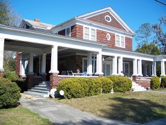 | George Allison House | building | 1995 | 95000369 |
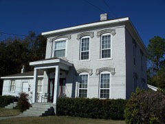 | Bishop B. Blackwell House | building | 1985 | 85000360 |
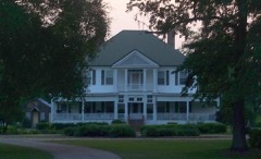 | Hull-Hawkins House | building | 1973 | 73000604 |
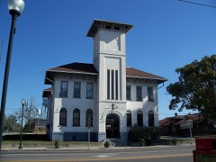 | Old Live Oak City Hall | building | 1986 | 86000862 |
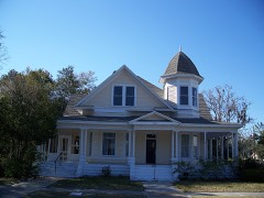 | Dr. Price House | building | 1998 | 98001200 |
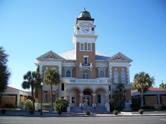 | Suwannee County Courthouse | building | 1998 | 98001349 |
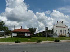 | Union Depot and Atlantic Coast Line Freight Station | building | 1986 | 86000860 |
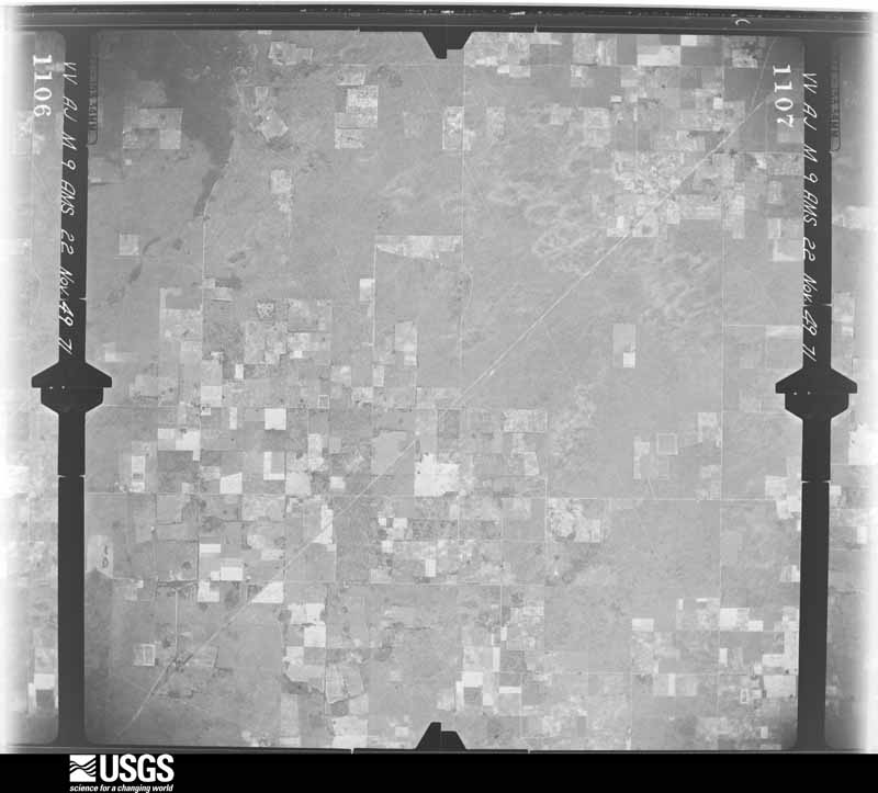
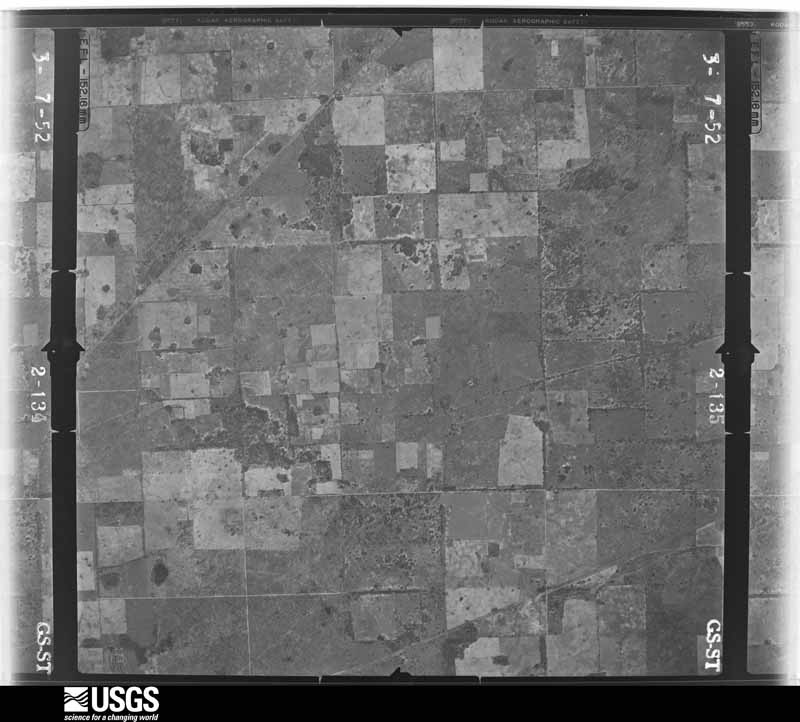
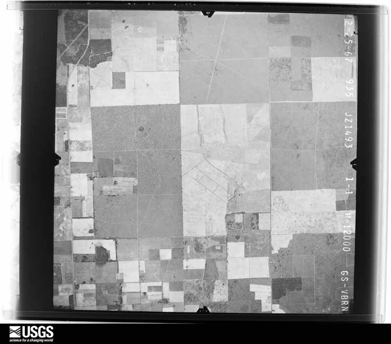
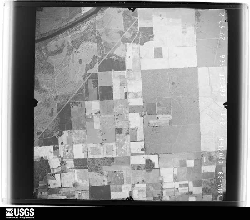
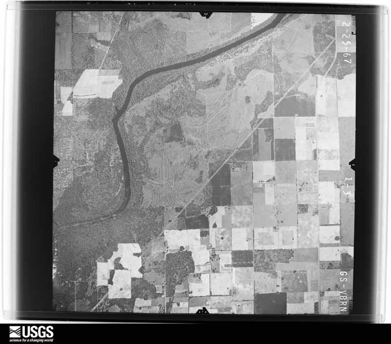
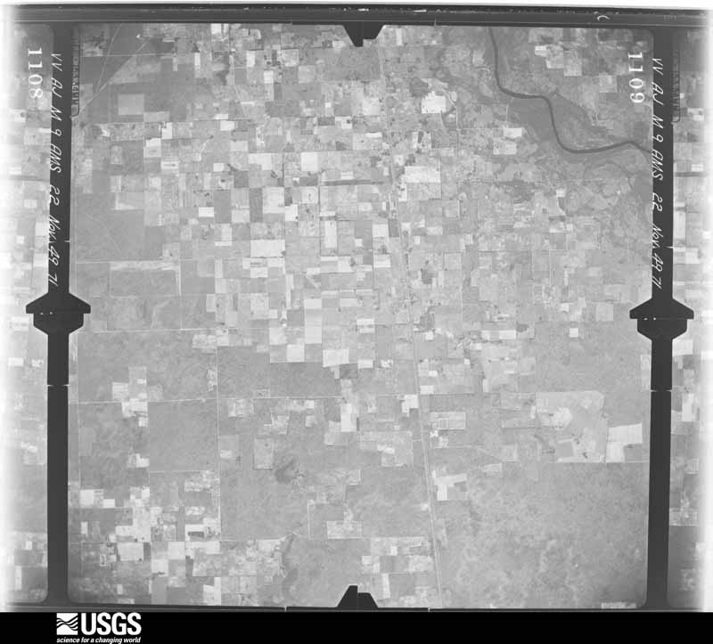
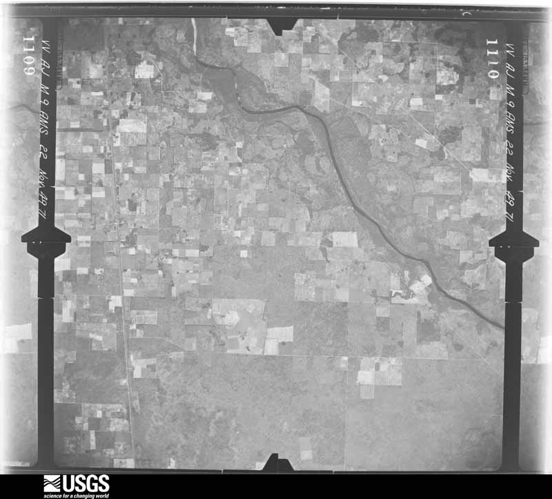
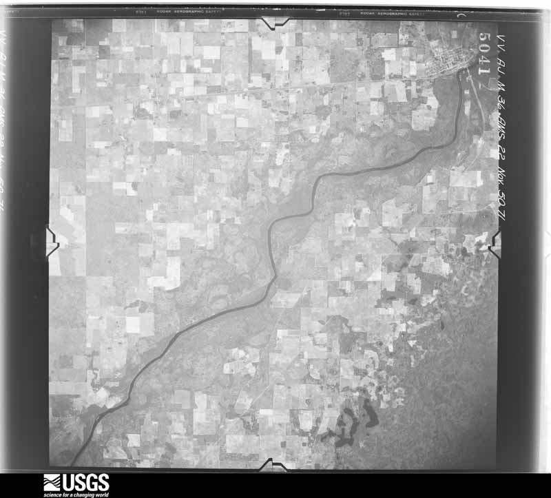
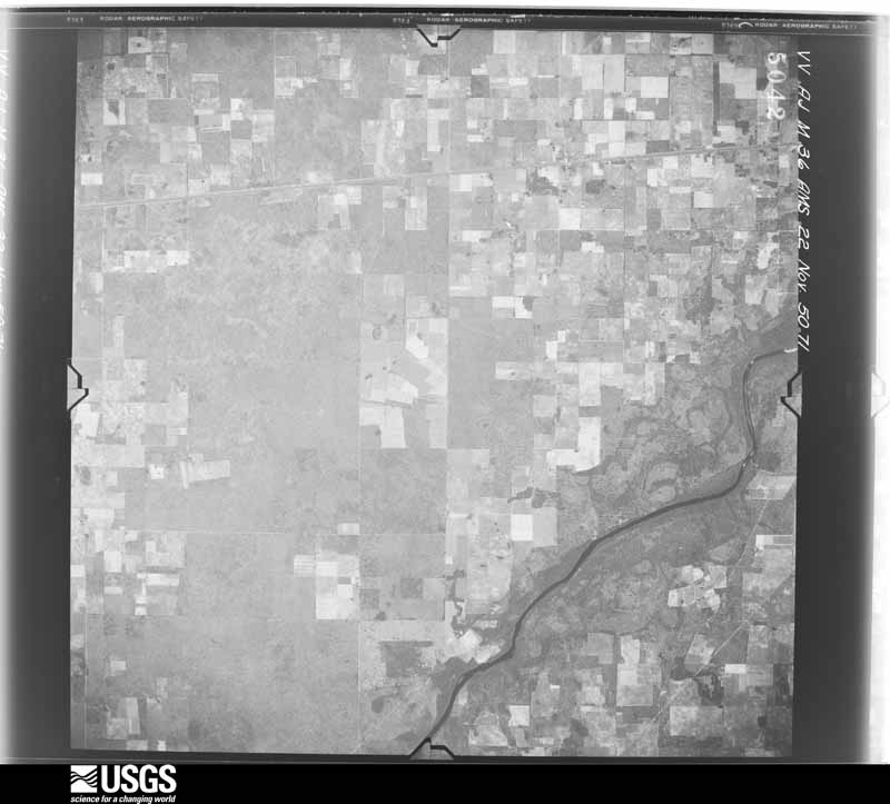
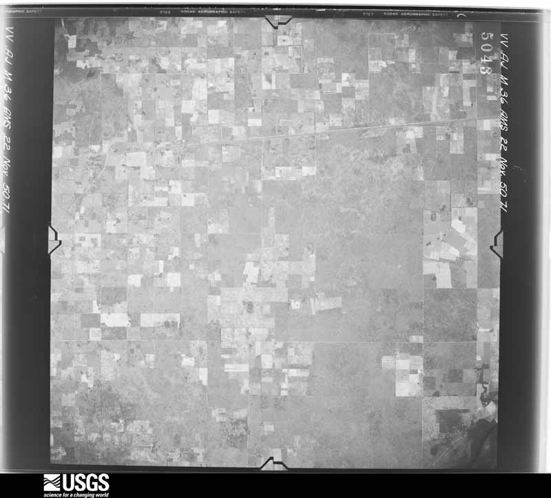
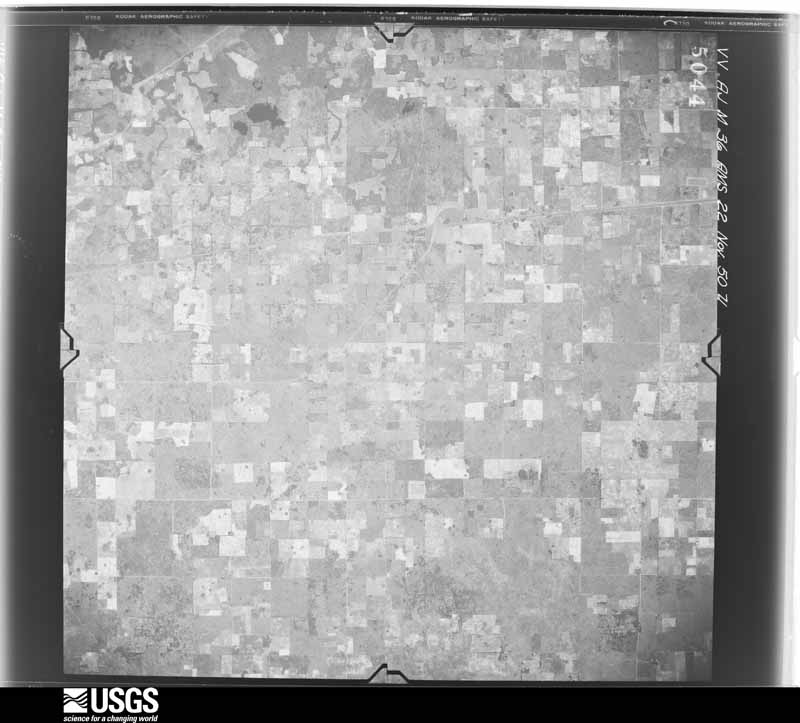
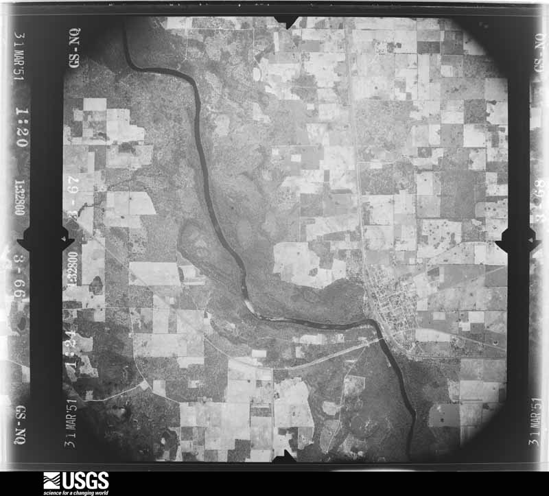
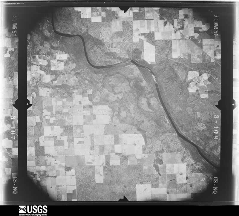
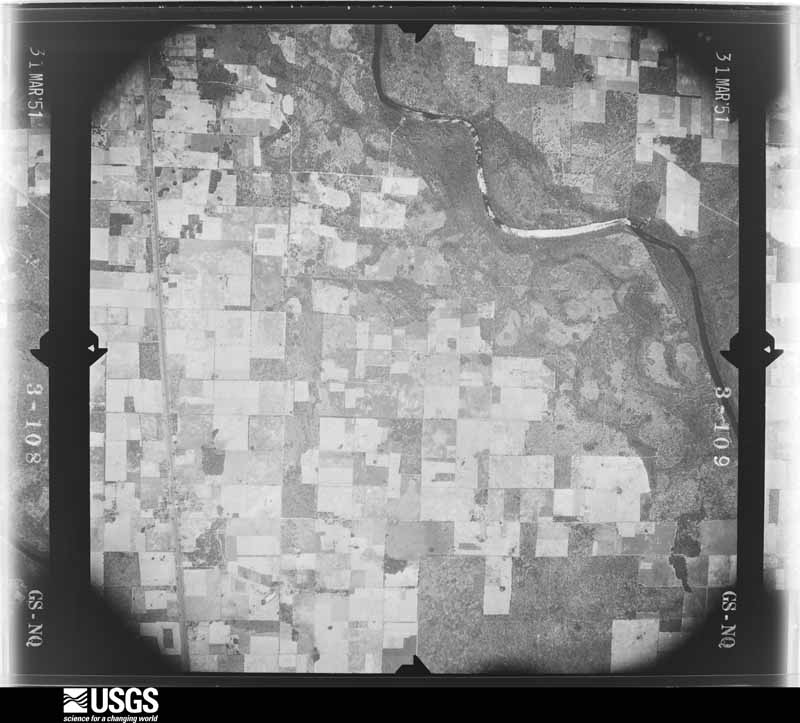
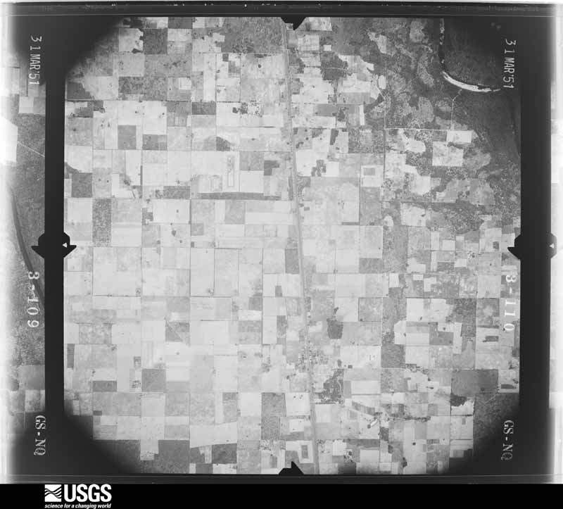
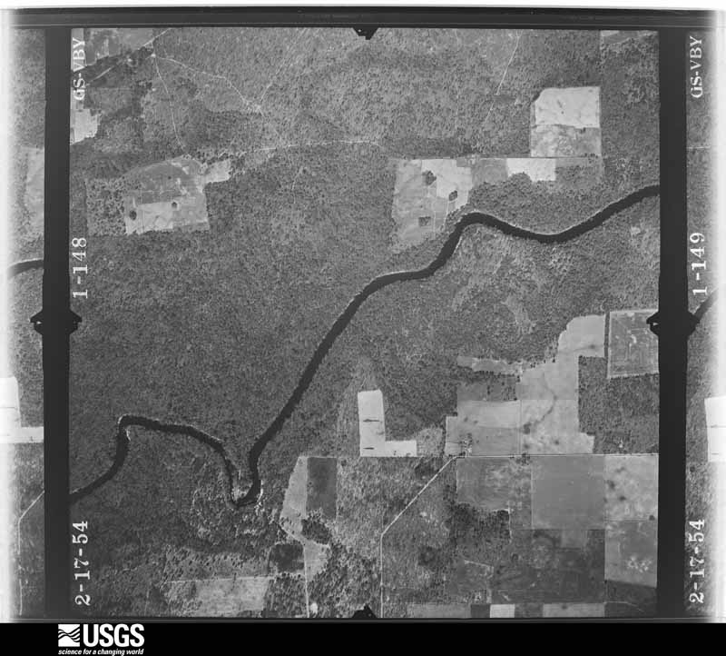
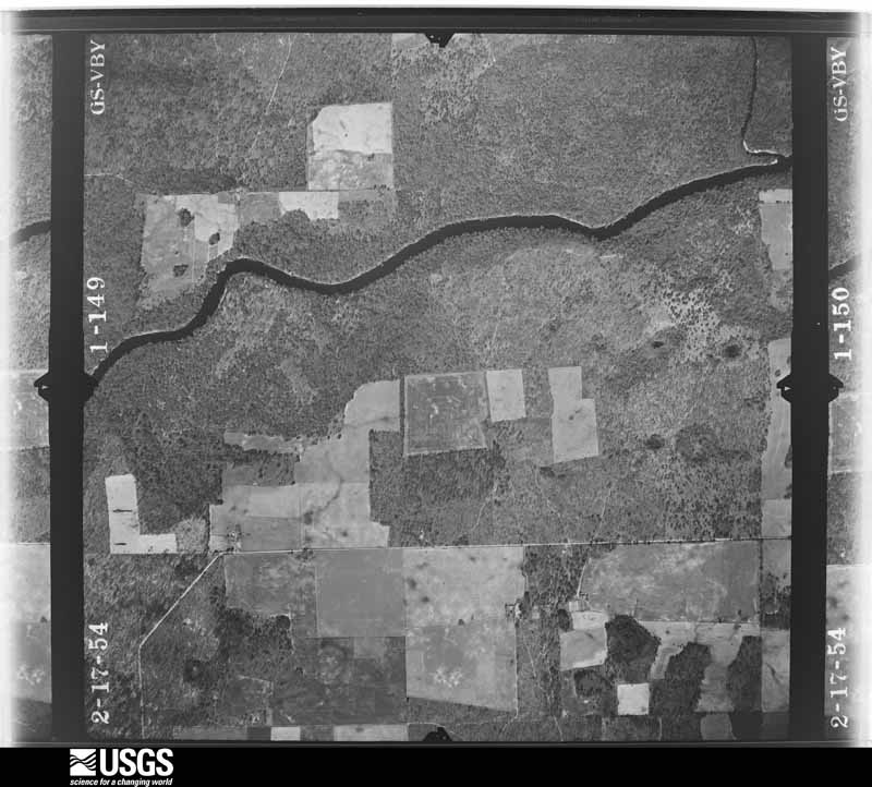
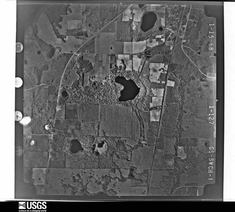
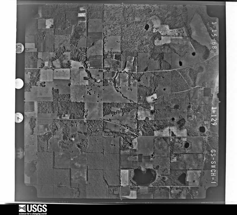
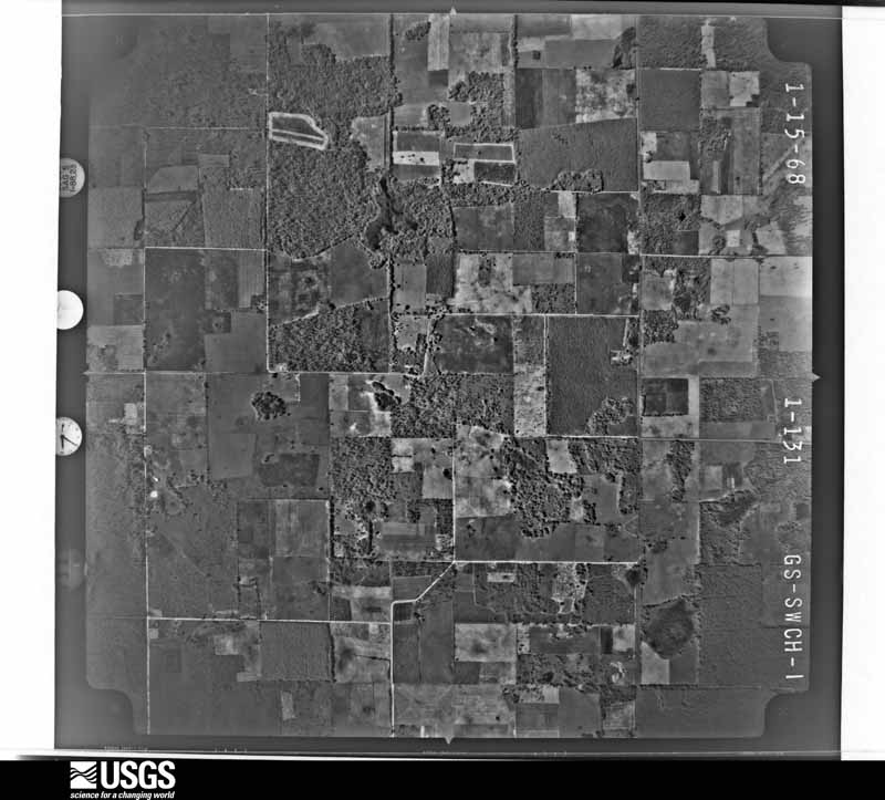
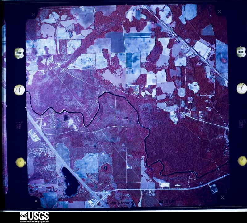
Flown by the U.S. Geological Survey between 1937 and 1989, the Aerial Photo Single Frames collection is the definitive mid-century view of the land: fields, roads and rivers as the camera saw them. The Survey holds 1,152 frames inside the rectangle that bounds this county; the 33 frames below were taken over the county itself, chosen across the decades of flights (at most four a year from that rectangle), so one flight cannot crowd out the rest. The full set is free to browse and download at EarthExplorer under the dataset Aerial Photo Single Frames.
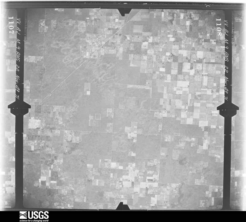
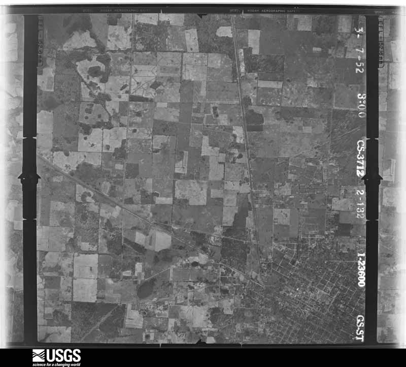
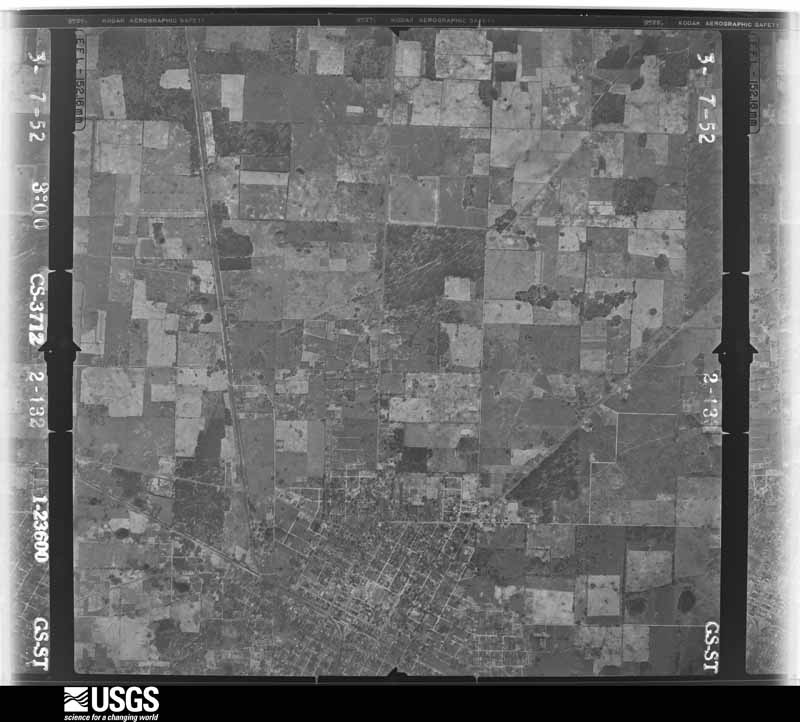
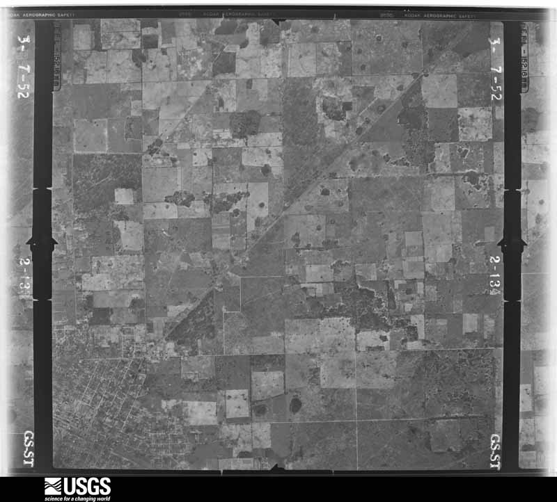
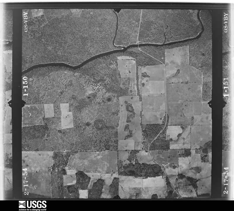
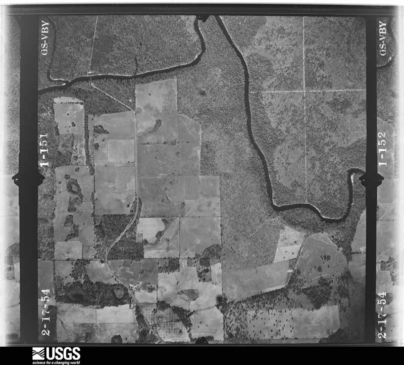
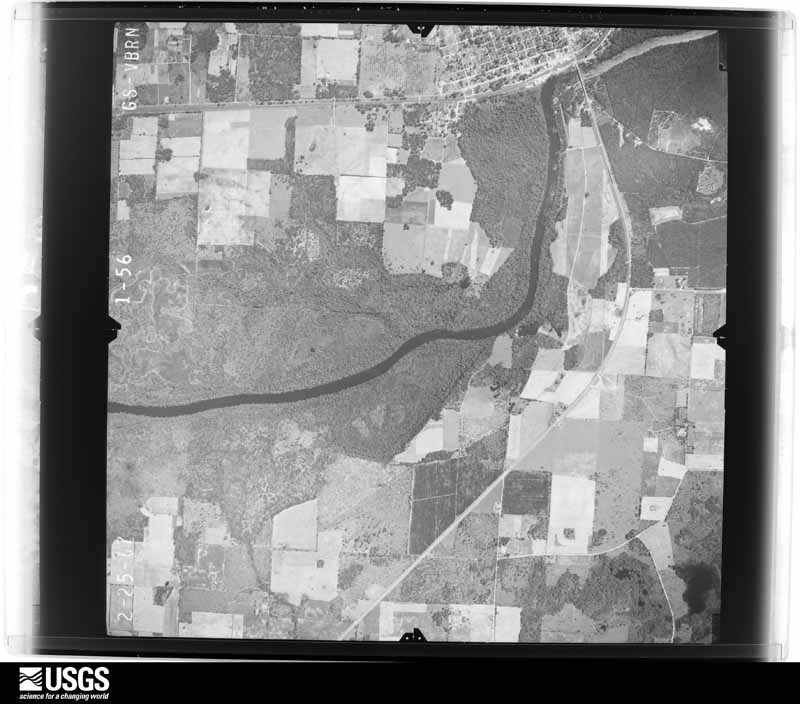
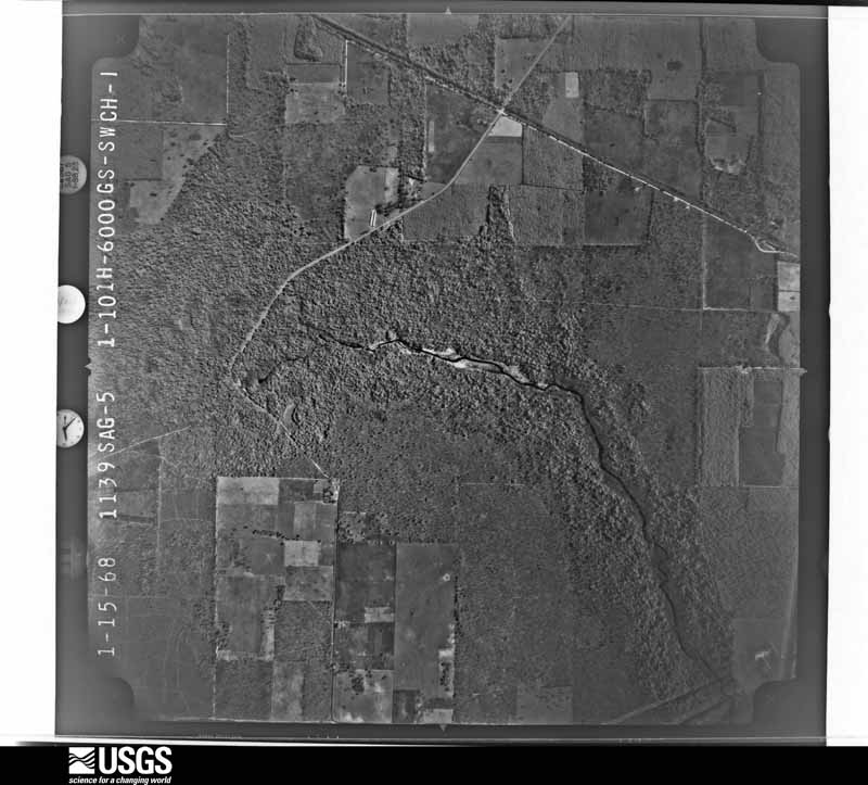
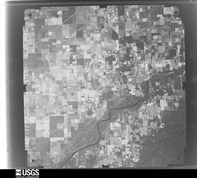
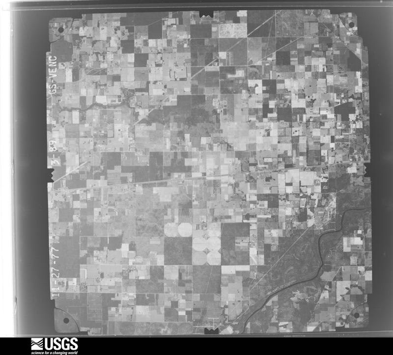
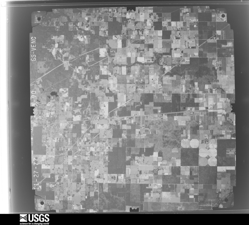
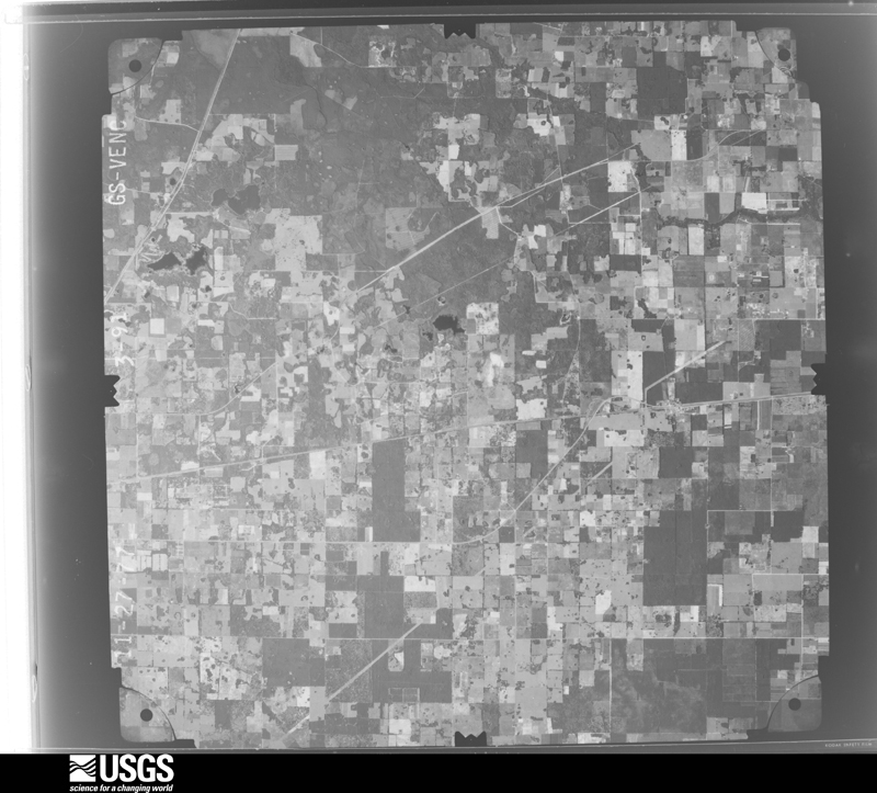
The thermometers that kept this county's weather, and the gages that measured the flow of its streams, as the federal records hold them. The extremes below are measured values from those records, not estimates.
Who lived here in 1950, one enumeration district at a time, as the Census Bureau described each district. Each row opens its official National Archives result, with Population Schedules and ED Maps available there.
Every wildfire the federal occurrence database records inside this county: 2,085 of them, burning about 9,316 acres. 79 started naturally and 46 were recorded as arson. Each settlement page carries the fires within five miles of it.
| Reported cause | Fires |
|---|---|
| Debris and open burning | 678 |
| Railroad operations and maintenance | 535 |
| Missing data/not specified/undetermined | 349 |
| Equipment and vehicle use | 197 |
| Power generation/transmission/distribution | 89 |
| Natural | 79 |
| Misuse of fire by a minor | 60 |
| Arson/incendiarism | 46 |
| Recreation and ceremony | 21 |
| Smoking | 17 |
| Other causes | 8 |
| Fireworks | 6 |
The five largest, by the area the report gives. None of them was recorded as arson.
| Date | Cause | Size | Reported by | Name on the report |
|---|---|---|---|---|
| 11 March 1999 | Railroad operations and maintenance | 213 acres | Florida Forest Service | not named |
| 6 February 1999 | Railroad operations and maintenance | 125 acres | Florida Forest Service | not named |
| 9 February 1996 | Railroad operations and maintenance | 119 acres | Florida Forest Service | not named |
| 21 February 1995 | Railroad operations and maintenance | 85 acres | Florida Forest Service | not named |
| 25 January 1992 | Railroad operations and maintenance | 85 acres | Florida Forest Service | not named |
| 21 May 2007 | Equipment and vehicle use | 80 acres | Florida Forest Service | 04-61-BIG STRAW FIRE 0776 |
| 4 June 2001 | Debris and open burning | 80 acres | Florida Forest Service | not named |
| 13 April 2006 | Debris and open burning | 77 acres | Florida Forest Service | 04-61-MULTIPLE PILE FIRE-0752 |
Every settlement page carries the fires within five miles of it - see the settlement index below.
The NOAA Storm Events Database holds 437 reports for this county, causing no deaths, 8 injuries and about $6,921,110 in recorded property damage. Each settlement page carries the reports that name it.
| Kind of event | Reports |
|---|---|
| Thunderstorm Wind | 247 |
| Hail | 65 |
| Heavy Rain | 51 |
| Tornado | 45 |
| Flash Flood | 12 |
| Flood | 6 |
| Lightning | 5 |
| Funnel Cloud | 5 |
| Wildfire | 1 |
The most serious of them, by death, then injury, then recorded damage. The accounts are quoted exactly as the forecast office filed them.
| When | Event | Place named | Harm | What the report says |
|---|---|---|---|---|
| September 1998 | Tornado (F2) | Live Oak | 5 hurt, $600,000 | no account filed |
| June 1954 | Tornado (F2) | not stated | 1 hurt, $25,000 | no account filed |
| June 2014 | Thunderstorm Wind | Falmouth | 1 hurt | A tree fell across a road and car. The driver was injured. Time of damage estimated from radar imagery. |
| July 2013 | Lightning | Live Oak | 1 hurt | A victim was struck near 74th Terrace and County Road 795 on the north side of Live Oak. Minor injuries were reported and the victim was transported to the hospital. |
| May 1974 | Tornado (F1) | not stated | $2,500,000 | no account filed |
| February 1998 | Thunderstorm Wind | Live Oak | $900,000 | More than 15 semi-trailers were overturned. Chicken processing plant damaged. One mobile home was distroyed. Large trees and power lines were blown down. |
| March 2009 | Tornado (EF1) | Ellaville | $750,000 | The tornado touched down as an EF-0 in an open field just east of the Suwannee River and south of the Progress Energy power plant. It increased to intensity becoming a low end EF-1 tornado several hundred feet down track where it impacted several farm buildings and mobile homes. Several small farm structures were destroyed and winds here we estimated to be between 86 and 90 mph. The tornado continued moving northeastward as an EF-0 snapping trees along its path near the entrance to the Suwannee River State Park and along Stagecoach Road. It then went through a wooded area emerging along West Tower Road where it began the occlusion process. The rear flank downdraft heavily damaged two chicken houses with a loss of about a quarter million dollars. At this point the tornado took a northward turn toward the Jenkins Farm house destroying a large work shed with heavy machinery and damaging the home. The tornado was rated as an EF-1 here with winds of 95 to 100 mph. Debris from the shed was strewn across the field north of the Jenkins Farm house to Stagecoach Road. |
| May 1996 | Lightning | Live Oak | $250,000 | no account filed |
| May 1980 | Tornado (F1) | not stated | $250,000 | no account filed |
| June 1980 | Tornado (F1) | not stated | $250,000 | no account filed |
| June 2012 | Flash Flood | Hildreth | $200,000 | The public reported U.S. Highway 90 was flooded and closed in downtown Live Oak. Several vehicles were stranded in flood waters in the downtown area. The cost of damage was estimated and is likely underestimated. |
| June 2015 | Lightning | Live Oak Suwane Arpt | $103,900 | Lightning caused a structure fire at Wayne Frier Mobile Home Sales at 12788 US Highway 90 West in Live Oak. |
| June 2012 | Flood | Live Oak Suwane Arpt | $100,000 | Flooding impacted much of Suwannee County. On 6/25 at 7:30 pm, law enforcement reported flooding at U.S. Highway 90 at County Road 137 in Wellborn. The intersection was closed due to deep water. At 7:30 pm, the public reported 8.5 inches of water accumulation in Live Oak. At the same time, a trained spotter reported reported streets were beginning to flood due to ditches over-flowing toward the roadway in Live Oak. At 8:02 pm, law enforcement reported a tree was blown down in the right lane of Interstate 10 near mile marker 292 due to saturated grounds and gusty winds. On 6/28 at 10:23 am, an NWS Storm Survey reported a sinkhole 1 block from the Intersection of Highway 90 and State Road 129. A few structures were in danger of being engulfed into the expanding sinkhole. The cost of damage was estimated and is likely grossly under-estimated. |
| January 1997 | Tornado (F0) | Live Oak | $100,000 | no account filed |
| November 1995 | Thunderstorm Wind | Branford | $80,000 | Two homes were damaged, and one vehicle was overturned. |
| April 2010 | Thunderstorm Wind | Branford | $68,000 | An approximate seven square mile area of straight line wind damage occurred as a result of a bowing line of thunderstorms. The area of most substantial damage had dozens of large trees uprooted and snapped. A total of 18 structures sustained damage with one mobile home destroyed by a large oak tree that fell through it. Damage indicators suggested maximum winds of around 70 mph. The cost of damage was estimated. |
| July 1998 | Thunderstorm Wind | Branford | $60,000 | A thunderstorm downburst damaged several mobile homes in the Suwannee Rachettes subdivision. One mobile home was cut in half by a large pine trees, while other received structural or roof damage. |
| June 2022 | Thunderstorm Wind | Padlock | $50,000 | Suwannee county 911 call center reported significant damage was reported to homes, vehicles and barns and many trees and power lines down along US HWY 129. At Mystic Jungle Educational Facility, there was damage to animal enclosures, breaking the top of their fences and ripping the tin roof off of an enclosure. Large trees were also snapped. Public also reported that there was damage to the dairy farm near Mystic Jungle. Damage was done by downburst/straight line winds. |
| February 1998 | Flash Flood | Live Oak | $40,000 | no account filed |
| January 1999 | Thunderstorm Wind | Live Oak | $25,000 | Large trees were blown down. Several homes with roof and siding damage |
| December 1983 | Tornado (F1) | not stated | $25,000 | no account filed |
| December 1983 | Tornado (F1) | not stated | $25,000 | no account filed |
| July 1981 | Tornado (F1) | not stated | $25,000 | no account filed |
| July 1979 | Tornado (F1) | not stated | $25,000 | no account filed |
| July 1979 | Tornado (F1) | not stated | $25,000 | no account filed |
| May 1976 | Tornado (F0) | not stated | $25,000 | no account filed |
| January 1975 | Tornado (F1) | not stated | $25,000 | no account filed |
| February 1975 | Tornado (F2) | not stated | $25,000 | no account filed |
| April 1973 | Tornado (F0) | not stated | $25,000 | no account filed |
| December 1972 | Tornado (F2) | not stated | $25,000 | no account filed |
| August 1968 | Tornado (F1) | not stated | $25,000 | no account filed |
| September 1956 | Tornado (F2) | not stated | $25,000 | no account filed |
| June 2012 | Thunderstorm Wind | Branford | $20,000 | A tree was snapped due to thunderstorm winds. The tree fell on 2 cars, both of which were heavily damage by the tree and heavy rainfall. The cost of damage to the cars was estimated for inclusion of the event in Storm Data. |
| July 2000 | Thunderstorm Wind | Live Oak | $20,000 | Large trees and power lines were blown down. One mobile home destroyed. |
| July 1998 | Flash Flood | Live Oak | $15,000 | Flooding caused a sink hole on CR-49. |
| October 1996 | Flash Flood | Live Oak | $11,000 | no account filed |
| May 2012 | Flood | Obrien | $10,000 | The media and emergency management reported 11 to 15 inches of storm total rainfall across eastern Suwannee County. About 8 miles NE of Branford, 11.80 inches of rainfall was measured during Beryl. In Wellborn, 15 inches of rainfall was measured. The cost of damage is unknown, and a base amount was estimated so the report could be included in Storm Data (must enter a damage cost for the report to be accepted by the software). |
| March 2007 | Tornado (EF0) | Wellborn | $10,000 | Suwannee Valley Electric Company reported tornado touchdown. A garage was heavily damaged; trees were blown down on power lines, and a lot of debris in the area. |
| December 2006 | Thunderstorm Wind | Live Oak | $10,000 | Numerous trees were blown down across power lines. Power outages were reported starting at 07:43 EST due to downed trees on power lines and continued through 08:14 EST. A total of 179 customers were affected across Suwannee County. Report courtesy of the Suwannee Valley Electric Cooperative. |
| March 2001 | Thunderstorm Wind | Live Oak | $10,000 | Large trees and power lines were blown down. One barn lost roof, one van crushed, one mobile home damaged. |
| December 1996 | Thunderstorm Wind | Branford | $10,000 | no account filed |
| March 2011 | Thunderstorm Wind | Obrien | $6,000 | Trees were blown down and a pole barn was damaged near State Road 129 and 240th Street near Obrien. The time of the event was based on radar, and the cost of damage was estimated. |
| February 2013 | Hail | Hildreth | $5,000 | The public reported 2 inch hail which damaged car windows and tree limbs. The cost of damage was estimated. |
| October 2006 | Thunderstorm Wind | Ellaville | $5,000 | Several trees down in the Suwannee River State Park with some down in the campground area. |
| October 2006 | Thunderstorm Wind | Branford | $5,000 | Power Lines blown down near U.S. Highway 27 and County Road 49. |
| June 1998 | Thunderstorm Wind | Dowling Park | $5,000 | Shed destroyed. Large trees were blown down. |
| April 1997 | Thunderstorm Wind | Live Oak | $5,000 | Two farm buildings destroyed. |
| July 1996 | Thunderstorm Wind | Live Oak | $5,000 | no account filed |
| June 2015 | Thunderstorm Wind | Falmouth | $4,000 | Scattered trees were blown across the area. The cost of damage was estimated for the event to be included in Storm Data. The timing of damage was based on radar. |
| June 2015 | Thunderstorm Wind | Rixsford | $4,000 | Scattered trees were blown down. The cost of damage was estimated for the event to be included in Storm Data. The time of damage was estimated based on radar. |
| September 1999 | Flash Flood | Countywide | $3,500 | Numerous streets and road were flooded. |
| August 1998 | Thunderstorm Wind | Live Oak | $3,500 | Large trees and power lines were blown down along I-10. |
| April 2020 | Thunderstorm Wind | Lancaster | $3,000 | Playground equipment and a metal shed were damaged by sub-severe thunderstorm winds. The time of damage was based on radar. The cost of damage was estimated. |
| March 2012 | Thunderstorm Wind | Newburn | $3,000 | A horse barn roof was blown off by strong thunderstorm winds. The cost of damage was estimated. |
| June 2010 | Thunderstorm Wind | Mc Alpin | $3,000 | Wind damage occurred at 4323 200th Street. Windows were blown out and damage occurred to the exterior of the building. A tree was uprooted. The cost of damage was estimated. |
| March 2000 | Tornado (F0) | Live Oak | $3,000 | Large trees and power lines were blown down. Weak FO. |
| March 2000 | Flash Flood | Live Oak | $3,000 | Several roads closed in the downtown area. |
| February 1998 | Thunderstorm Wind | Live Oak | $3,000 | Large trees and power lines were blown down. |
| June 2001 | Thunderstorm Wind | Live Oak | $2,500 | Large trees and power lines were blown down. |
| June 2001 | Thunderstorm Wind | Suwannee Spgs | $2,500 | Large trees and power lines were blown down. |
The Survey's mineral resources record lists 12 workings inside this county. 8 still produce and 4 are closed or unrecorded. Each settlement page carries the workings within five miles of it.
| Commodity | Workings |
|---|---|
| Limestone, General | 6 |
| Stone, Crushed/Broken | 4 |
| Phosphorus-Phosphates | 2 |
| Aluminum, Fluorine-Fluorite, Iron, Magnesite, Uranium, Water, Free | 2 |
The least common of them first, because a county's hundredth gravel pit says nothing its first ten did not.
| Where | Site | Commodity | Status | Recorded |
|---|---|---|---|---|
| Live Oak Deposit | Phosphorus-Phosphates, Aluminum, Fluorine-Fluorite, Iron, Magnesite, Uranium, Water, Free | Prospect | 1966 | |
| Mcalpin Deposit | Phosphorus-Phosphates, Aluminum, Fluorine-Fluorite, Iron, Magnesite, Uranium, Water, Free | Prospect | 1966 | |
| Hatch Quarry | Stone, Crushed/Broken | Producer | ||
| Mulkey Pit | Stone, Crushed/Broken | Past Producer | ||
| Ralph Limestone Quarry | Stone, Crushed/Broken | Past Producer | ||
| Suwannee Quarry | Stone, Crushed/Broken | Producer | ||
| Anderson Mining - Lanier / Branford Quarry | Limestone, General | Producer | Limestone | |
| H.R. Ellington Constr. - Suwannee Mine | Limestone, General | Producer | Limestone | |
| Hatch Enterprises - Hatch Quarry | Limestone, General | Producer | Limestone | |
| Suwannee Co. Rd. Dept. - County Pit. | Limestone, General | Producer | Limestone | |
| Suwannee Material Co. - Sanchez Mine | Limestone, General | Producer | Limestone | |
| Tim-Prat - Tim-Prat's Mine | Limestone, General | Producer | Limestone |
Named settlements recorded in the Geographic Names Information System, each with the topographic sheets covering it. Villages, hamlets and abandoned places alike. Each is shown with the nearest named watercourse or landform and the survey quadrangle it falls on.
Dowling Park census division · 32060 · On Dry Run · Ellaville quadrangle
11 sheets, 1954 to 1979
Branford census division · 32008 · On Ichetucknee River · Hildreth quadrangle
11 sheets, 1954 to 1981
McAlpin-Wellborn census division · 32094 · White Springs West quadrangle
9 sheets, 1954 to 1981
Branford census division · 32008 · On Ichetucknee River · Hildreth quadrangle
11 sheets, 1954 to 1981
Live Oak census division · 32060 · Near Horse Prairie · Live Oak East quadrangle
8 sheets, 1954 to 1981
Dowling Park census division · 32062 · Mayo NE quadrangle
9 sheets, 1954 to 1979
No longer a settlement
Branford census division · 32008 · Branford quadrangle
10 sheets, 1954 to 1981
No longer a settlement
The vanished settlements of Suwannee County: the places named above that are no longer on the map.