 Block
BlockLancaster, Florida
9 topographic sheets cover this place, the earliest surveyed in 1954 and the latest in 1979. It stands in the Dowling Park census division. It lies in ZIP code area 32060. The Survey maps it on the Dowling Park quadrangle.
Then and now
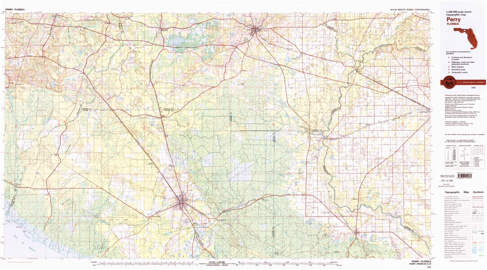
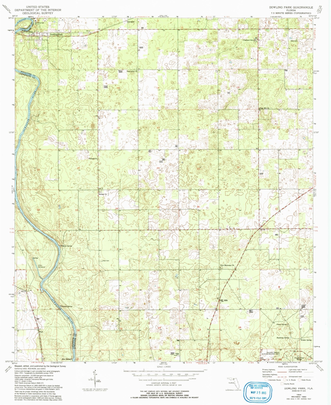
1954 to 1979The same ground, surveyed 25 years apart. Drag the handle to wipe between them. Both sheets are United States Geological Survey originals; neither has been altered.
Compare 1954 against another survey:
Topographic sheets covering this place
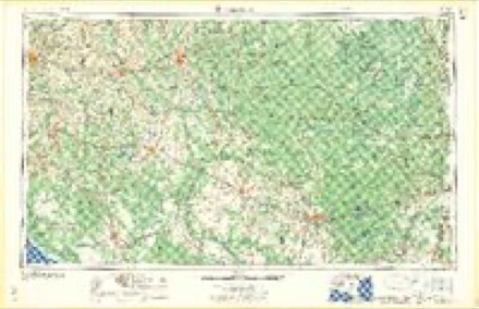
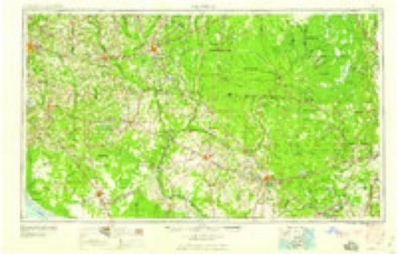
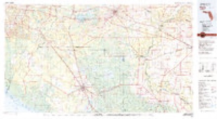
5 surveys from 9 printed sheetsMatched by testing this settlement's coordinate against the published boundary of every sheet in the United States Geological Survey's historical collection. Each opens the scanned sheet at the Survey.
- 1954 USGS Dowling Park quadrangle1:24000, 3 printings
- 1954 USGS Valdosta quadrangle1:250000, 2 printings
- 1958 USGS Valdosta quadrangle1:250000
- 1959 USGS Valdosta quadrangle1:250000
- 1979 USGS Perry quadrangle1:100000, 2 printings
Fires near this place
231 since 1992Regional context, not property-specific evidence. The federal wildfire occurrence database lists 231 fires within 5 miles of Lancaster between 1992 and 2020, burning about 1,246 acres in total. 17 started naturally. 6 were recorded as arson. Distance is straight-line from the map coordinates, so a fire counted here may appear on a neighbouring settlement's page as well.
| Reported cause | Fires |
|---|---|
| Debris and open burning | 81 |
| Railroad operations and maintenance | 47 |
| Missing data/not specified/undetermined | 34 |
| Equipment and vehicle use | 29 |
| Natural | 17 |
| Misuse of fire by a minor | 7 |
| Arson/incendiarism | 6 |
| Power generation/transmission/distribution | 4 |
| Smoking | 2 |
| Other causes | 2 |
| Recreation and ceremony | 1 |
| Fireworks | 1 |
The most recent of them, most recent first, with the day each was reported and the service that recorded it.
| Date | Cause | Size | Reported by | Name on the report |
|---|---|---|---|---|
| 8 September 2018 | Debris and open burning | 5.0 acres | Florida Forest Service | LANCASTER (61) |
| 6 September 2016 | Missing data/not specified/undetermined | 2.0 acres | Florida Forest Service | CR. 136 (61) |
| 6 September 1994 | Railroad operations and maintenance | 1.0 acres | Florida Forest Service | not named |
| 27 September 1996 | Railroad operations and maintenance | 5.0 acres | Florida Forest Service | not named |
| 14 September 2015 | Equipment and vehicle use | 1.0 acres | Florida Forest Service | 217TH (61) |
| 14 September 1998 | Missing data/not specified/undetermined | 2.0 acres | Florida Forest Service | not named |
| 7 August 2008 | Equipment and vehicle use | 1.0 acres | Florida Forest Service | 04-61-209TH RD FIRE-0854 |
| 3 August 2012 | Natural | 27 acres | Florida Forest Service | WINQUEPIN 1 (40) |
Settlements close enough to share some of these fires:
Mines and quarries near this place
2 within 5 milesRegional context, not property-specific evidence. The federal mineral resources record lists 2 workings within 5 miles of Lancaster: 1 producer, 1 unknown. 1 still produces. What was taken out: Limestone, General. Distance is straight-line from the map coordinates, so a quarry counted here may appear on a neighbouring settlement's page as well.
| Where | Site | Commodity | Status | Recorded |
|---|---|---|---|---|
| Anderson Mining Corp. - Dowling Pond Mine | Limestone, General | Unknown | Limestone | |
| White Constr. - Dowling Park | Limestone, General | Producer | Limestone |
Storms near this place
22 since 1998Regional context, not property-specific evidence. The National Weather Service names Lancaster in 22 storm reports between 1998 and 2024: 17 thunderstorm wind, 3 hail, 1 tornado, 1 heavy rain. No death or injury is recorded in these reports. Each account below is quoted exactly as the forecast office filed it, from the NOAA Storm Events Database, and each date opens the federal record of that event.
| When | Event | Place named | Harm | What the report says |
|---|---|---|---|---|
| April 2020 | Thunderstorm Wind | Lancaster | $3,000 | Playground equipment and a metal shed were damaged by sub-severe thunderstorm winds. The time of damage was based on radar. The cost of damage was estimated. |
| August 1998 | Thunderstorm Wind | Lancaster | $1,500 | Large trees and power lines were blown down. |
| June 2015 | Thunderstorm Wind | Lancaster | $1,000 | Trees were blown down across the road at 152nd Street between County Road 252 and 221st Street. Cost of damage was estimated. |
| June 2015 | Thunderstorm Wind | Lancaster | $1,000 | Trees were blown down by Buleah Church. Cost of damage was estimated for the event to be included in Storm Data. |
| May 2024 | Thunderstorm Wind | Lancaster | - | An NWS Survey Team determined that very intense straight-line |wind damage occurred Friday morning, May 10, 2024, across a large |part of Suwannee County due to a powerful squall line. Timing of |the event was from 7:55 AM to 8:35 AM, based on a combination of |surface observations and radar images. Highest measured wind gusts|recorded was between 60 and 73 mph at the Live Oak Florida Automated|Weather Network (FAWN) weather station (site id LIOF1) from |8:15 AM to 8:30 AM.||Damage consisted of many downed softwood or hardwood trees, either|snapped or uprooted. Powerlines were also downed. Tree damage was|found approximately 15 miles southwest of Live Oak, as well as|over north portion of the city limits of Live Oak, and eastward |toward White Springs and Wellborn. An outbuilding located 4 miles |north of Live Oak, just north of Interstate 10, was destroyed. |Additionally, a sign was blown down and another small structure |was rolled over, with this damage located approximately 2 miles |north-northeast of Live Oak along Ohio Avenue South. Given the |amount of tree and structure damage, estimated peak wind gusts |were in the 80 to 100 mph range. |
| June 2023 | Thunderstorm Wind | Lancaster | - | Trees and power lines were blown down across the county. Several roads were blocked by fallen trees. The time of damage was based on radar data. |
| March 2022 | Heavy Rain | Lancaster | - | Measured storm total rainfall over 24 hrs was 7.27 inches. Of this total, 3.21 inches occurred on March 11th. Since midnight on 3/12, 4.06 inches had fallen through 5:15 am. Other sites in the area measured about 7 inches of storm total rainfall. Reports of some street flooding along U.S. Highway 90 and County Road 136 in Live Oak were relayed by County 911/Dispatch. |
| July 2017 | Thunderstorm Wind | Lancaster | - | A tree was blown down across 180th Street. |
| April 2015 | Tornado (EF1) | Lancaster | - | Emergency management surveyed EF1 tornado damage in the Luraville area. The damage first began along 209th street then spread east-northeast toward 181st Drive. Extensive tree damage occurred and ranged from downed live oaks and twisted trunks with metal sheeting lofted into tree tops. The cost of damage was unknown. |
| April 2015 | Thunderstorm Wind | Lancaster | - | Significant wind damage to trees with numerous power lines down. |
| February 2013 | Hail | Lancaster | - | Multiple reports of golf ball size hail were received. |
| January 2013 | Thunderstorm Wind | Lancaster | - | Trees were blown down in the Suwannee River State Park. |
| June 2013 | Thunderstorm Wind | Lancaster | - | A residence off of County Road 51 in Luraville suffered downburst wind damage which included downed trees, roof damage and porch damage. The cost of damage was unknown. |
| September 2012 | Thunderstorm Wind | Lancaster | - | Trees were blown down near 180th Street in Luraville. The time of damage was based on radar. |
| May 2012 | Thunderstorm Wind | Lancaster | - | Power lines and a transformer were blown down near Luraville. |
| June 2011 | Thunderstorm Wind | Lancaster | - | Trees and power lines were blown down between Dowling Park and Luraville. |
| June 2010 | Thunderstorm Wind | Lancaster | - | Trees and power lines were blown down. |
| May 2010 | Thunderstorm Wind | Lancaster | - | Trees were blown down along 221st Road. A motorist drove into one tree, but no injuries were reported. |
| July 2010 | Thunderstorm Wind | Lancaster | - | Numerous trees were blown down between Luraville and County Road 250. |
| March 2008 | Hail | Lancaster | - | A trained spotter report made this report to Emergency Management. The report was relayed to them at 923 a.m. EST and event was ongoing at the time. |
| March 2007 | Thunderstorm Wind | Lancaster | - | Suwannee Valley Electric reported several trees down on power lines. |
| May 2012 | Hail | Lancaster | - | no account filed |
Nearest settlements
The eight closest, with where each one stands in the county. Distances are straight-line, computed from the Geographic Names Information System coordinates.
Provenance
This settlement is recorded in the Geographic Names Information System as feature 295401. The sheet list is computed by point-in-boundary test against the United States Geological Survey's historical topographic inventory. Both are works of the United States government and carry no copyright under 17 U.S.C. 105.
Wildfire. Short, Karen C. 2022. Spatial wildfire occurrence data for the United States, 1992-2020 [FPA_FOD_20221014]. 6th Edition. Fort Collins, CO: Forest Service Research Data Archive. https://doi.org/10.2737/RDS-2013-0009.6 Collected with United States Government funding and usable without additional permissions or fees.
Mines and quarries. USGS Mineral Resources Data System (MRDS) https://mrdata.usgs.gov/mrds/ A work of the United States government, no copyright under 17 U.S.C. 105.
Storms. NOAA National Centers for Environmental Information, Storm Events Database https://www.ncei.noaa.gov/stormevents/ A work of the United States government, no copyright under 17 U.S.C. 105. Narratives are quoted verbatim from the National Weather Service report and are not edited or summarised.