 Block
BlockFrom the record
4 National Register listings published here.
Sources: the National Register database, National Park Service
64 topographic sheets cover 36 settlements here, and 4 properties are on the National Register of Historic Places.
4 National Register listings published here.
Sources: the National Register database, National Park Service
Every property in this county listed on the National Register of Historic Places, with the year it was listed and the federal nomination document.
| Photograph | Property | Type | Listed | Reference |
|---|---|---|---|---|
 | First Methodist Episcopal Church, South | building | 2015 | 15000210 |
| Mittendorf House | building | 2021 | 100007050 | |
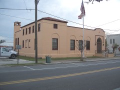 | Perry Post Office, Old | building | 1989 | 89000404 |
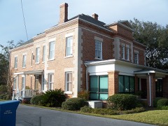 | Taylor County Jail, Old | building | 1989 | 89000414 |
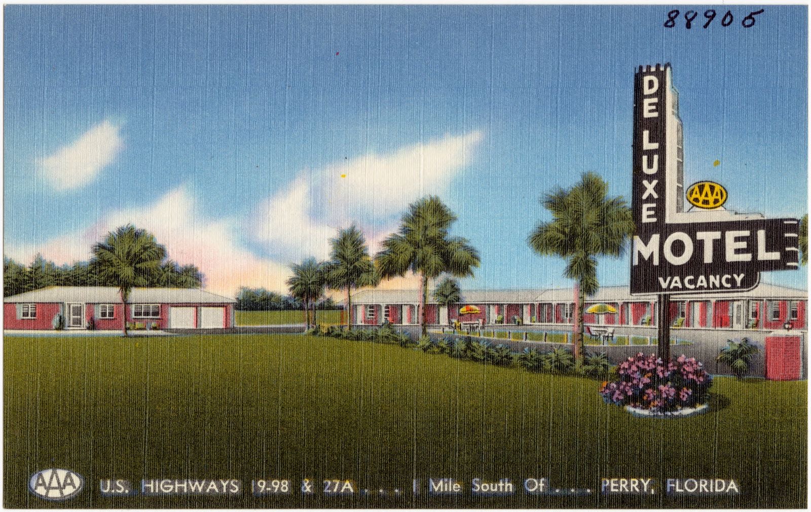
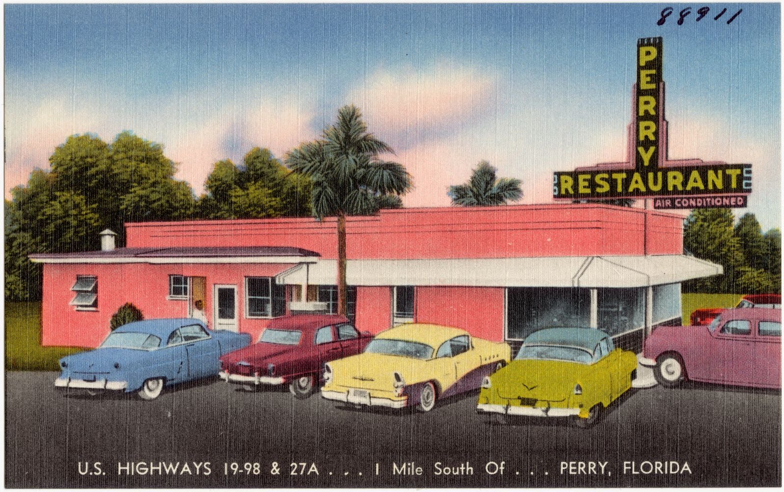
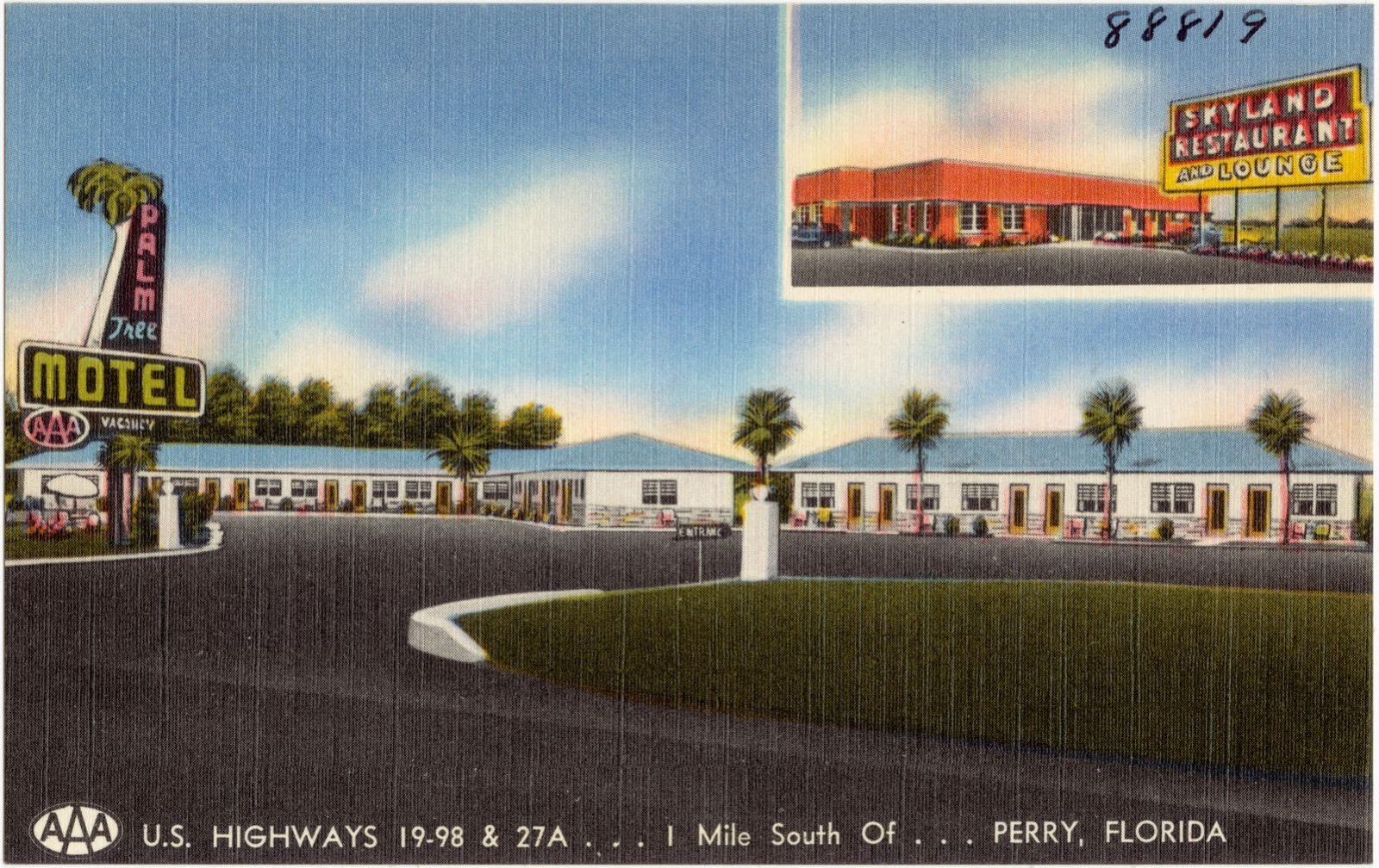
Selected from the Digital Public Library of America's 4 image records catalogued for this county. Every one shown here carries a public-domain status or a licence that permits reuse on a site that carries advertising; non-commercial, share-alike and restricted images are excluded. The selection is spread across the county's towns (at most eight per town), so no single institution's bulk upload crowds out the rest. Each opens the holding library's record, and the complete set at the Digital Public Library of America is one click away.
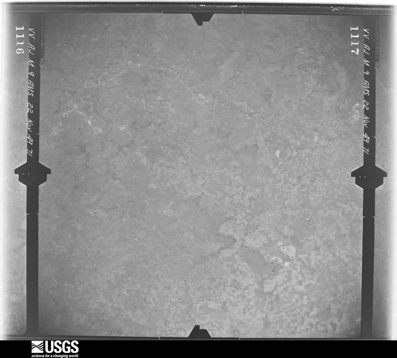
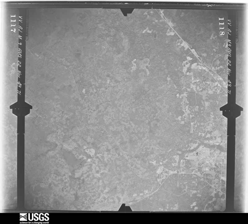
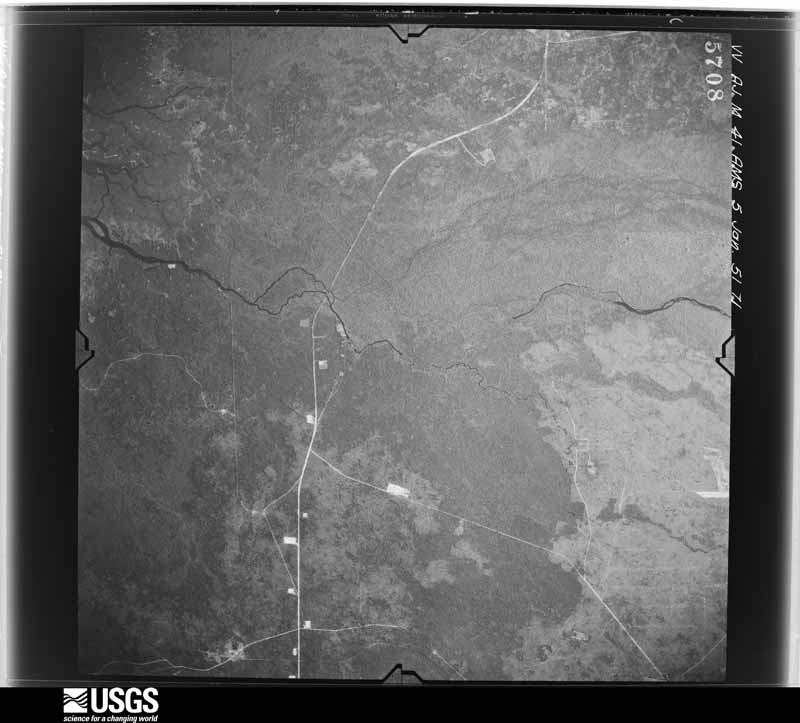
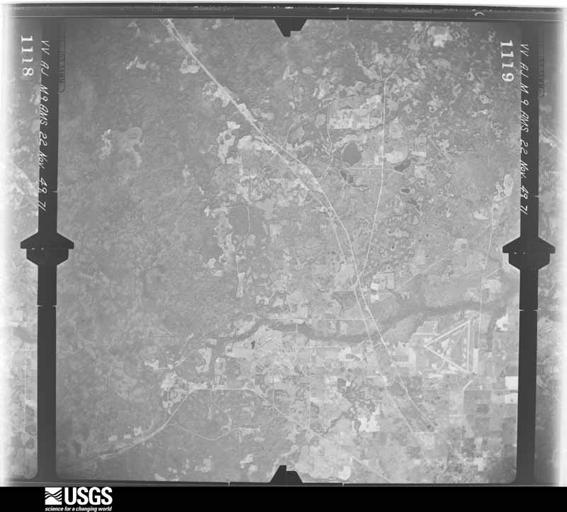
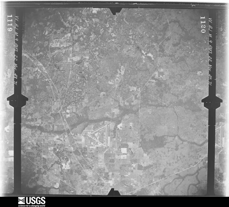
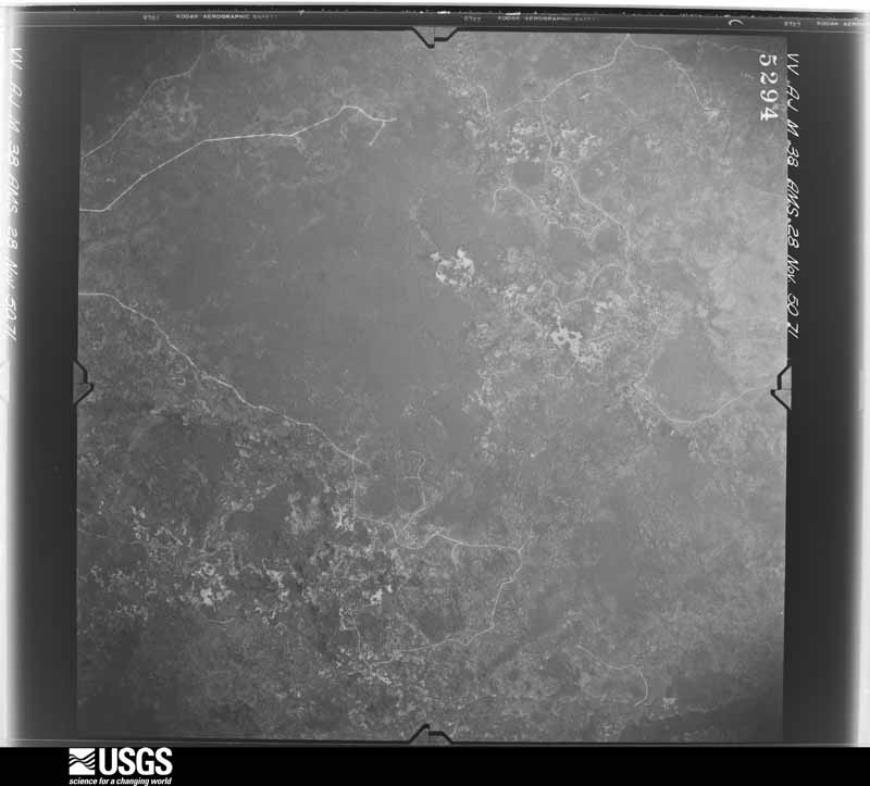
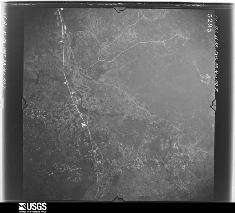
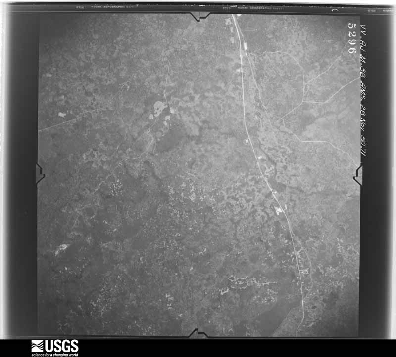
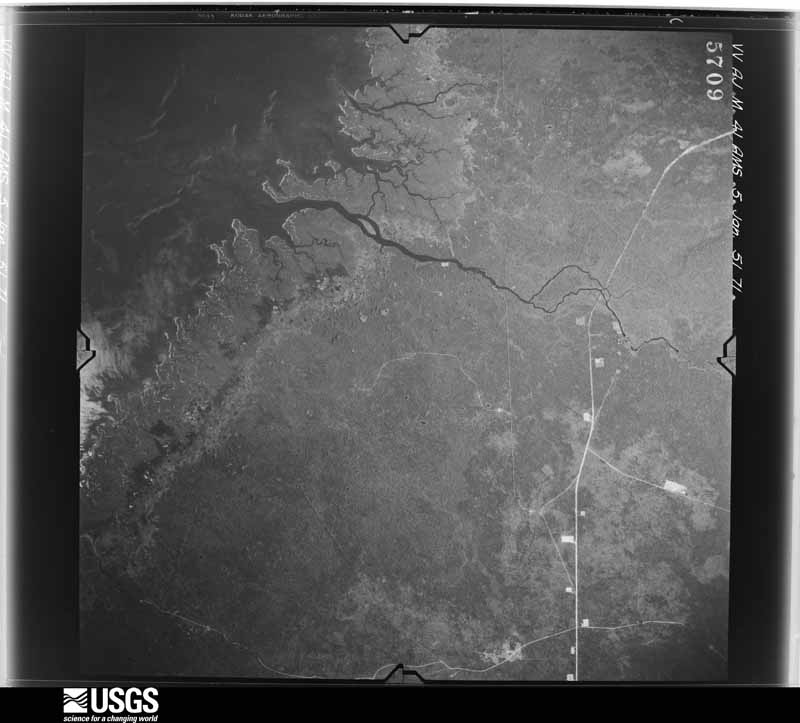
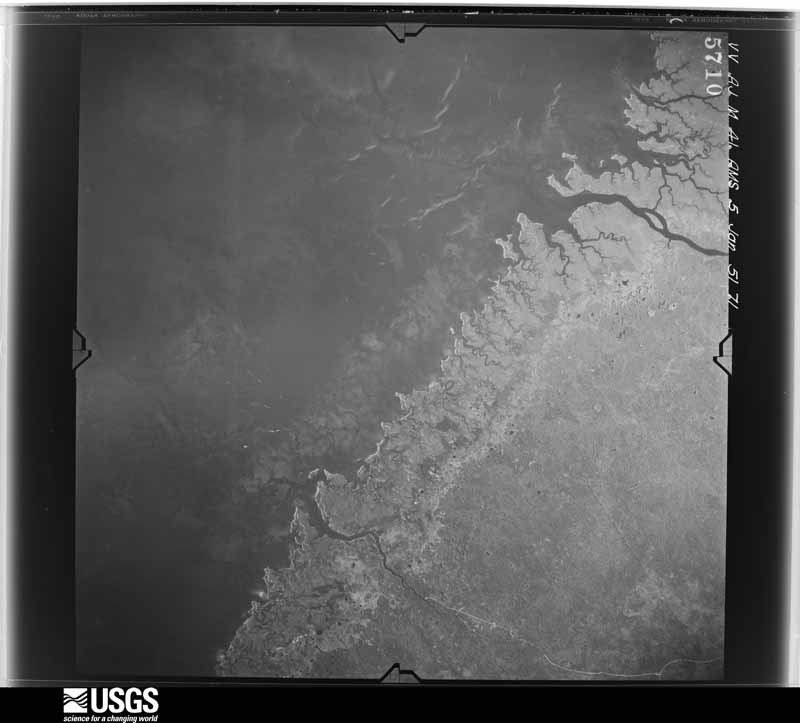
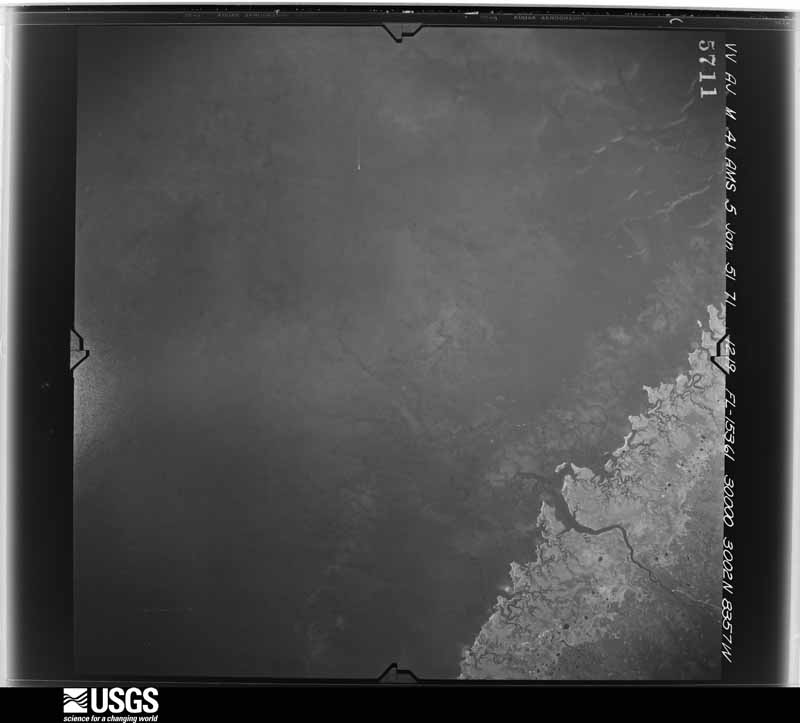
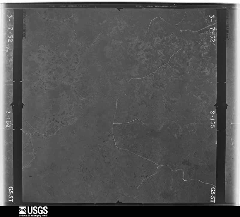
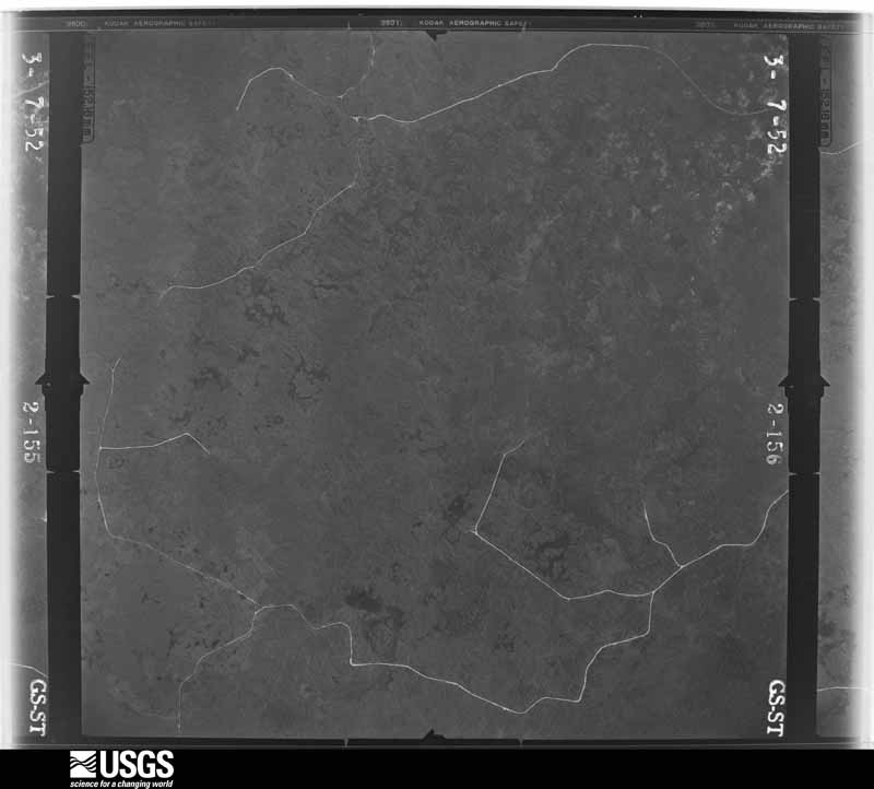
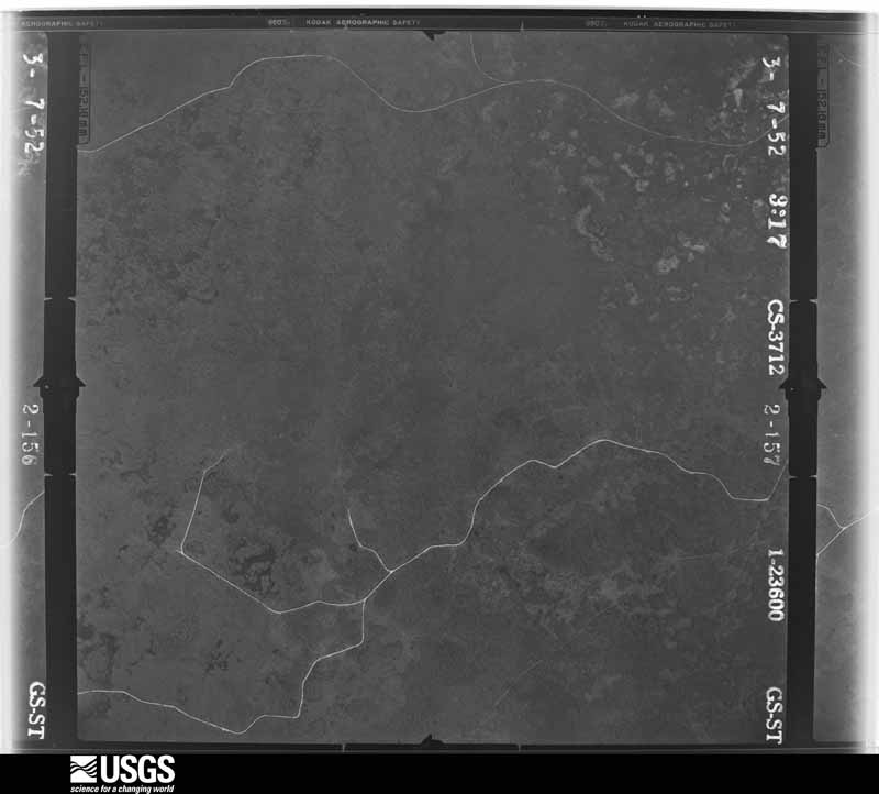
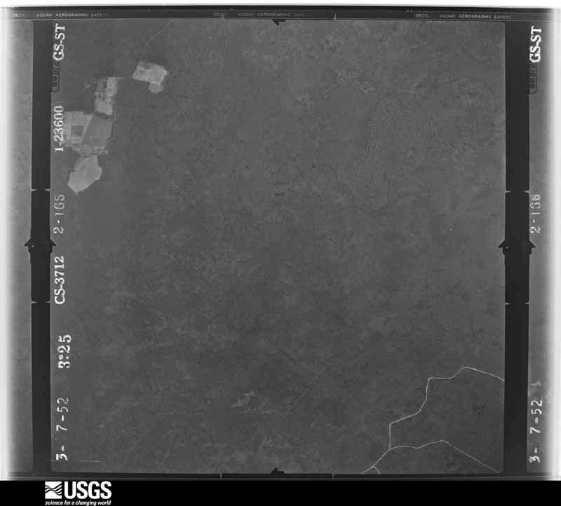
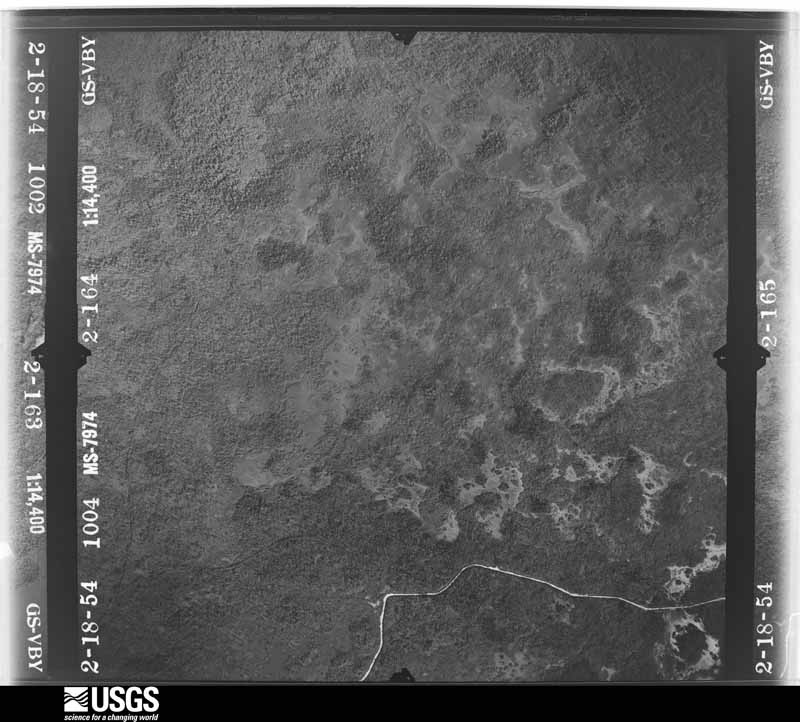
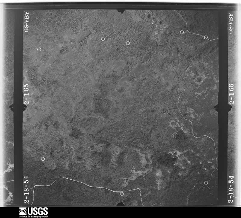
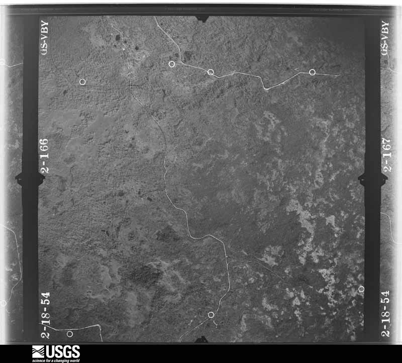
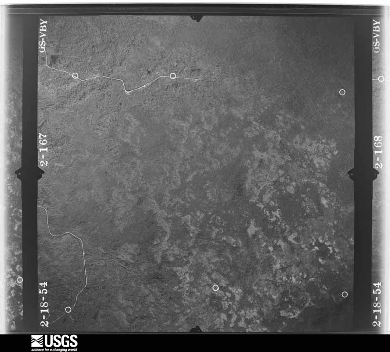
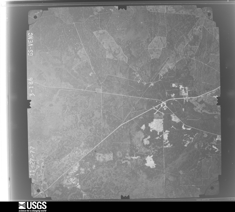
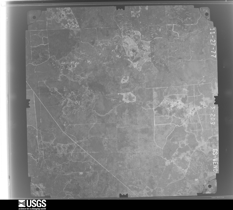
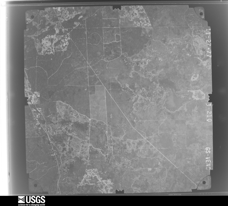
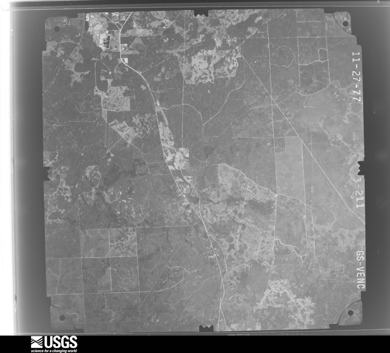
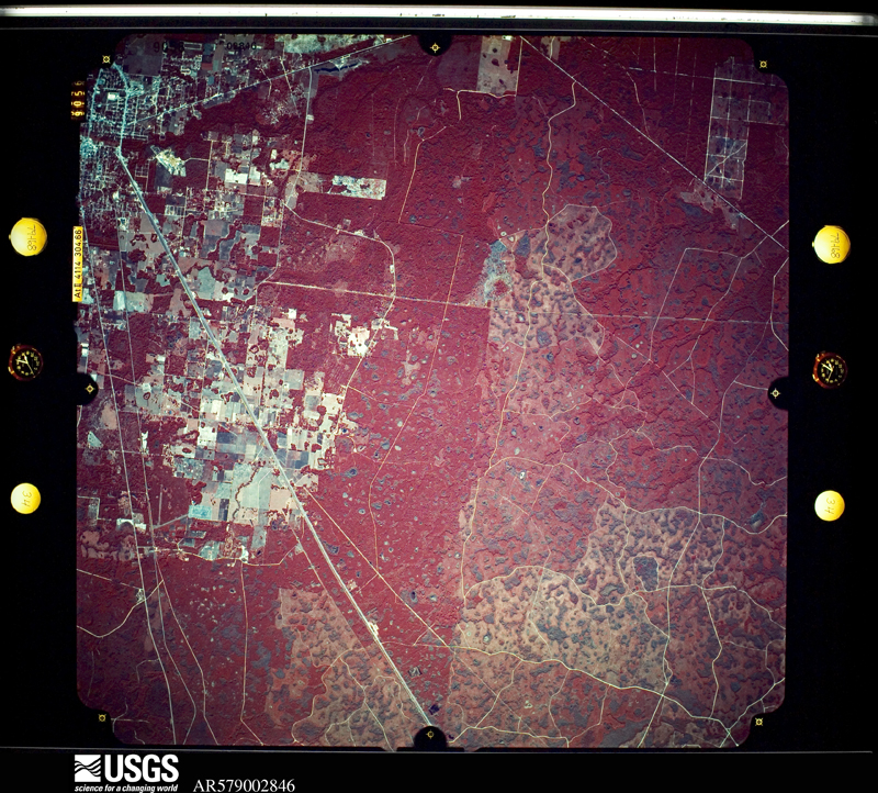
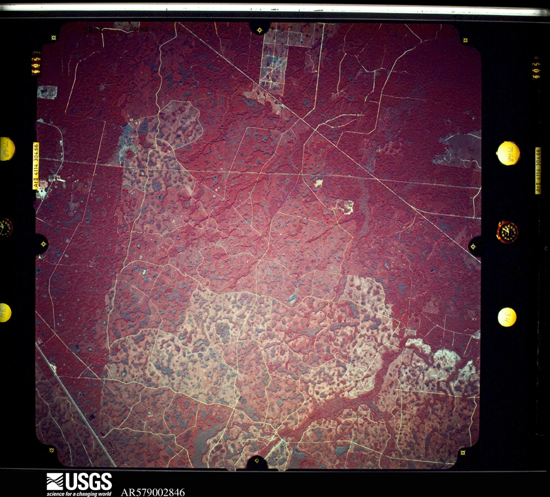
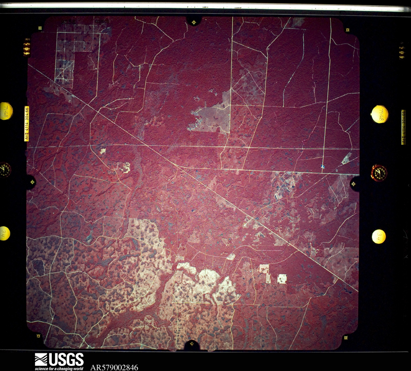
Flown by the U.S. Geological Survey between 1937 and 1989, the Aerial Photo Single Frames collection is the definitive mid-century view of the land: fields, roads and rivers as the camera saw them. The Survey holds 791 frames inside the rectangle that bounds this county; the 35 frames below were taken over the county itself, chosen across the decades of flights (at most four a year from that rectangle), so one flight cannot crowd out the rest. The full set is free to browse and download at EarthExplorer under the dataset Aerial Photo Single Frames.









The thermometers that kept this county's weather, and the gages that measured the flow of its streams, as the federal records hold them. The extremes below are measured values from those records, not estimates.
Who lived here in 1950, one enumeration district at a time, as the Census Bureau described each district. Each row opens its official National Archives result, with Population Schedules and ED Maps available there.
Every wildfire the federal occurrence database records inside this county: 1,723 of them, burning about 9,769 acres. 354 started naturally and 196 were recorded as arson. Each settlement page carries the fires within five miles of it.
| Reported cause | Fires |
|---|---|
| Natural | 354 |
| Debris and open burning | 354 |
| Equipment and vehicle use | 336 |
| Arson/incendiarism | 196 |
| Railroad operations and maintenance | 159 |
| Missing data/not specified/undetermined | 133 |
| Misuse of fire by a minor | 71 |
| Power generation/transmission/distribution | 41 |
| Smoking | 36 |
| Recreation and ceremony | 25 |
| Other causes | 16 |
| Fireworks | 2 |
The five largest, by the area the report gives. Two of them were set deliberately.
| Date | Cause | Size | Reported by | Name on the report |
|---|---|---|---|---|
| 29 May 2016 | Natural | 1,032 acres | Florida Forest Service | TIDE SWAMP (62) |
| 14 February 1996 | Equipment and vehicle use | 520 acres | Florida Forest Service | not named |
| 6 May 2017 | Arson/incendiarism | 352 acres | Florida Forest Service | DALLUS CREEK (62) |
| 6 March 2001 | Equipment and vehicle use | 272 acres | Florida Forest Service | DALLUS CREEK FIRE |
| 4 April 2002 | Natural | 250 acres | Florida Forest Service | not named |
| 9 June 2000 | Equipment and vehicle use | 244 acres | Florida Forest Service | not named |
| 12 April 1996 | Smoking | 225 acres | Florida Forest Service | not named |
| 29 May 1999 | Arson/incendiarism | 216 acres | Florida Forest Service | not named |
Every settlement page carries the fires within five miles of it - see the settlement index below.
The NOAA Storm Events Database holds 233 reports for this county, causing no deaths, 15 injuries and about $8,801,110 in recorded property damage. Each settlement page carries the reports that name it.
| Kind of event | Reports |
|---|---|
| Thunderstorm Wind | 147 |
| Tornado | 24 |
| Hail | 22 |
| Flash Flood | 15 |
| Flood | 8 |
| Heavy Rain | 7 |
| Lightning | 4 |
| Wildfire | 3 |
| Funnel Cloud | 1 |
| Waterspout | 1 |
| Storm Surge/Tide | 1 |
The most serious of them, by death, then injury, then recorded damage. The accounts are quoted exactly as the forecast office filed them.
| When | Event | Place named | Harm | What the report says |
|---|---|---|---|---|
| August 1998 | Lightning | Perry | 5 hurt, $750,000 | Lightning ignited a natural gas pipeline at the Florida Gas Transmission Company, about three miles northeast of Perry. A pair of explosions sent a 600-foot fireball skyward forcing the evacuation of about 100 residents. Five homes were incinerated and natural gas supplies were shut off to Perry and surrounding communities. Four firefighters and a gas plant employee suffered burns. The American Red Cross set up a temporary shelter at the Taylor County High School for displaced families. Units from Leon, Dixie, Jefferson, and Wakulla County joined the Taylor County and Perry firefighting efforts. |
| May 1974 | Tornado (F1) | not stated | 3 hurt, $25,000 | no account filed |
| March 2008 | Tornado (EF2) | Jack Lee Island | 2 hurt, $500,000 | A waterspout came ashore as a tornado at Keaton Beach. Damage began along Keaton Beach Drive, just south of Beach Road, and continued east to Marina Drive where most of the significant damage occurred. Sporadic tree and power line damage was observed near Marina Drive. Fifteen homes between Marina Drive and Keaton Beach Drive sustained minor to moderate roof damage. Several decks on these homes failed. One home was destroyed when it was blown off its foundation and tossed into the road. Two injuries were reported. A few small boats were lofted into the air, with one boat moved over 100 feet. The tornado quickly lifted over an open area east of Marina Drive. |
| October 1994 | Tornado (F1) | Shady Grove | 2 hurt, $50,000 | A tornado blew down trees and heavily damaged a mobile home. A family took refuge under a mattress but one child was severely injured. |
| October 1972 | Tornado (F2) | not stated | 1 hurt, $250,000 | no account filed |
| April 1995 | Thunderstorm Wind | Dekle Beach | 1 hurt, $3,000 | Thunderstorms blew down trees with one tree puncturing a roof and slightly injuring a woman. |
| March 1975 | Tornado (F1) | not stated | 1 hurt, $2,500 | no account filed |
| August 2021 | Flood | Clara | $5,000,000 | A persistent rainy pattern across southeastern Taylor county brought rainfall amounts in excess of foot during the first 12 days of the month. This rainfall fell on already saturated grounds and resulted in significant, long duration areal flooding. In addition, significant river flooding occurred across the Steinhatchee River basin. The Steinhatchee River crested at its 2nd highest crest on record at 24.6 ft on August 7th, which is well into the moderate flood category. Many roads were closed, and many homes were impacted. The river remained in at least minor flood stage for 20 days. Damage cost was estimated. |
| August 2019 | Flood | Steinhatchee | $513,000 | A multi-day, significant flooding event occurred in the Steinhatchee area. A 5 day rainfall total of 31.79 inches was measured by a personal weather station in the Steinhatchee area. A total of 48 homes received minor water damage with an additional 15 homes receiving major water damage. A curfew was in place for Steinhatchee during the overnight hours. The county estimated that the damage to homes was around $513,000 in southeast Taylor county. |
| August 1999 | Lightning | Countywide | $250,000 | Taylor County S.O. reported lightning as the cause for numerous structure fires including a mobile homein Shady Grove, a house in Steinhatchee and a business in Perry. |
| September 1956 | Tornado (F2) | not stated | $250,000 | no account filed |
| August 2015 | Flood | Steinhatchee | $173,500 | Flash flooding transitioned to a long duration of areal flooding across southeastern Taylor county. Water was slow to recede due to around 10 inches of rain falling in a couple of days. Water affected numerous roadways and homes in the area. The emergency manager estimated property damage at $173,500. |
| August 2008 | Flash Flood | Smith | $100,000 | Many roads and low lying areas were flooded. Rainfall amounts ranged from six to ten inches across southern portions of the county, to as much as eighteen inches across northern portions. |
| October 2003 | Tornado (F1) | Perry | $100,000 | A weak tornado touched down near Carlton Cemetery Road, just south of the Perry-Foley Airport where a barn was heavily damaged. Intermittent damage occurred throughout neighborhoods along Foley Cut-Off Road which were littered by uprooted trees and downed power lines. Several homes sustained minor damage. One mobile was damaged by a fallen live oak tree. The tornado dissipated just northeast of County Road 356 and Faulkner Road. Reported by the Taylor County EMA. |
| September 2002 | Flash Flood | Perry | $100,000 | Torrential rain from slow-moving thunderstorms flooded several homes. Reported by the Taylor County Sheriff. |
| May 2022 | Tornado (EF0) | Perry | $75,000 | A tornado touched down briefly in downtown Perry, FL and was on the ground for about a minute. The tornado touched down west of South Quincy St. near W. Homer J. Smith Ave. It blew over a fence and pealed back a tin roof at a tavern. It continued east northeast along E. Hampton Springs Rd pulling up a carport cover that was anchored to the ground. The tornado bent over a stop sign and snapped large branches off a tree near the intersection of S. Jefferson St. and W. Hampton Springs Rd. One of these was hurled across the intersection, breaking a window of a home. The tornado then broke or bent several large tree limbs before damaging a fence east of Orange St. The tornado lifted just east of S. Center St. This tornado was rated EF0 with max winds around 75 mph. |
| April 2008 | Tornado (EF0) | Dekle Beach | $75,000 | A waterspout developed just offshore of Dekle Beach and came ashore as an EF0 tornado. The tornado, which lasted a few minutes, caused major roof damage to three homes. Several other homes sustained minor damage to porches, screens and windows from wind-borne debris. The damage path included Dekle Beach, Palmetto and Mexico Roads. Power was knocked out at Dekle Beach. |
| June 2023 | Tornado (EF1) | (40j)Perry-Foley Arpt | $50,000 | A tornado touched down south of Perry, FL on the north side of Houck Rd. Here the tornado produced EF-0 damage to a large metal building system, pulling some of the metal roof panels off the building and sending insulation over to Perry Foley Airport. Traveling southeast across Houck Rd, EF-1 damage was observed as the tornado then flipped up the metal roof of a porch, peeled back the metal roof of an outbuilding, snapped a tree and uprooted a very large tree. Further southeast at the airport a sign was damaged, debris from the metal building was found, and one aircraft broke free of its tail rope and was pushed sideways. The tornado then lifted shortly past the airport. Damage cost was estimated. |
| April 2020 | Tornado (EF1) | Jack Lee Island | $50,000 | A tornadic water spout came ashore into Keaton Beach and severely damaged a boat rental facility pulling concrete pilings out of the ground. The tornado lifted shortly after that. |
| September 2004 | Tornado (F0) | Steinhatchee | $50,000 | A waterspout moved onshore and caused minor damage to several homes, as well as downed trees and power lines. Reported by the Taylor County EMA. |
| November 2002 | Lightning | Steinhatchee | $50,000 | Lightning destroyed the top floor of a two-story wood-frame house. Reported by the Perry News Herald. |
| December 1996 | Thunderstorm Wind | Perry | $50,000 | no account filed |
| May 2022 | Thunderstorm Wind | Fenholloway | $25,000 | A storm survey indicated that straight line winds of 80 to 90 mph resulted in snapped trees, a destroyed shed, and roof damage in an area east of Perry along San Pedro Road. |
| January 1997 | Thunderstorm Wind | Perry | $20,000 | no account filed |
| June 2023 | Thunderstorm Wind | (40j)Perry-Foley Arpt | $10,000 | Roof damage occurred to a home and outbuilding. |
| May 2022 | Thunderstorm Wind | Perry | $10,000 | Trees were blown down in Perry near the Highway 221 and 27 intersection with some structural damage reported. |
| February 2017 | Thunderstorm Wind | Perry | $10,000 | Trees were blown down along Jefferson Street in Perry. One tree fell on a car. Damage was estimated. |
| February 2015 | Thunderstorm Wind | Perry | $10,000 | Multiple trees and power lines were blown down causing numerous power outages. |
| June 2015 | Thunderstorm Wind | (40j)Perry-Foley Arpt | $10,000 | Trees were blown down along Golf Course Road with shingles blown off one house. Damage was estimated. |
| November 2006 | Thunderstorm Wind | Adams Beach | $10,000 | Straight-line winds destroyed the roof of a house located north of Adams Beach. |
| July 2002 | Thunderstorm Wind | Salem | $10,000 | An awning was blown off a building on U.S. Highway 19 and a Wendy's restaurant sign was blown out. The tops of several trees were blown off. Reported by the Taylor County EMA. |
| September 2002 | Storm Surge/Tide | Keaton Beach | $10,000 | Storm surge heights of three feet caused minor beach erosion. Reported by the Taylor County EMA. |
| June 2000 | Thunderstorm Wind | Eridu | $10,000 | Numerous trees and power lines down in and around Eridu. County Road 14 was blocked by fallen debris. Reported by SKYWARN storm spotter. |
| July 2000 | Thunderstorm Wind | Keaton Beach | $10,000 | A gazebo was destroyed. Numerous downed trees and power lines on roads in the Shady Grove, Yates Creek and Ocean Pond subdivisions. Reported by the Taylor County EMA. |
| March 2014 | Flood | Scanlon | $8,830 | Widespread heavy rainfall of 3 to 5 inches over a 12 to 24 hour period led to local creeks and streams rising out of their banks and producing areal flooding across numerous county roads and neighborhood roads. Several county maintained roads were washed out or had culverts damaged. Public works repaired or replaced at least 6 culverts and positioned 100 sandbags to divert water. Affected roads included Mt. Gilead Church Rd, Bernard Johnson Rd, Blue Bar Rd, Calvin Morgan Rd, River Rd NE, Preston Sheffield Rd, Glennis Cruce Rd, and Dekle Beach Rd. Jody Morgan Rd was closed due to two damaged culverts. The county has repaired 6 Culverts at $7730 total with 10 load lime rock at $1000 total. |
| July 2023 | Thunderstorm Wind | Perry | $5,000 | A shed roof was torn off by strong winds along Highway 98. |
| March 2022 | Flash Flood | Pinland | $5,000 | A portion of Potts Still Road was washed out. |
| July 2016 | Lightning | Perry | $5,000 | A combination of numerous cloud to ground lightning strikes and some wind caused several power outages across the Perry area. |
| June 2015 | Thunderstorm Wind | Lake Bird | $5,000 | Trees were blown down on power lines and caused several power outages in northern Taylor county. |
| July 2015 | Thunderstorm Wind | Scanlon | $5,000 | Scattered power outages were caused by a combination of trees falling on power lines due to strong winds and lightning. |
| April 2015 | Thunderstorm Wind | Steinhatchee | $5,000 | At least three trees fell on power lines. |
| February 2007 | Thunderstorm Wind | Perry | $5,000 | A Taylor County 911 dispatcher reported numerous downed trees and power lines between Perry and Shady Grove. |
| July 2006 | Thunderstorm Wind | Econfina | $5,000 | A tin roof on a shed was blown off. Numerous trees were down. Reported by the Taylor County Sheriff. |
| February 2005 | Thunderstorm Wind | Perry | $5,000 | Roof damage to a mobile home. Reported by the Taylor County EMA. |
| June 2004 | Thunderstorm Wind | Perry | $5,000 | A roof ripped off a mobile home and several downed trees reported by the Taylor County EMA. |
| July 2004 | Thunderstorm Wind | Keaton Beach | $5,000 | Downed trees and power lines along State Highway 361 between Keaton Beach and Steinhatchee. A power outage in Steinhatchee. Reported by the Taylor County EMA. |
| May 2002 | Thunderstorm Wind | Central Portion | $5,000 | Numerous downed trees and power lines. Reported by the Taylor County EMA. |
| February 1998 | Thunderstorm Wind | Perry | $5,000 | Quarter size hail near Salem and dime size hail two miles west of Rocky Creek road. Trees down just north of Perry on Woods Creek Road. Power lines down near the Florida Highway Patrol Headquarters Post one mile north of Perry. |
| February 2026 | Thunderstorm Wind | Jack Lee Island | $4,000 | A wash house was thrown into a pond. |
| June 2025 | Thunderstorm Wind | (40j)Perry-Foley Arpt | $3,000 | A small tree was blown down in addition to two reports of wires down nearby. |
| January 2024 | Thunderstorm Wind | Perry | $3,000 | At least two trees and a power line were blown down in the Perry area. |
| April 2020 | Thunderstorm Wind | Hampton Springs | $3,000 | Trees were blown down onto power lines and resulted in a power outage to 39 customers. |
| September 2019 | Thunderstorm Wind | Perry | $3,000 | Fallen trees or limbs resulted in a power outage to 39 customers along County Road 255A. |
| September 2019 | Thunderstorm Wind | Boyd | $3,000 | Fallen trees or limbs resulted in a power outage to 86 customers along Roberts Aman Road. |
| April 2018 | Thunderstorm Wind | Perry | $3,000 | Fallen trees or limbs resulted in a power outage to 81 customers. |
| February 2015 | Thunderstorm Wind | Boyd | $3,000 | Trees were blown down on Highway 221 North. |
| June 2015 | Thunderstorm Wind | Lake Bird | $3,000 | Trees and tree branches were blown down on power lines causing power outages in the Lake Bird area. |
| August 2014 | Thunderstorm Wind | Perry | $3,000 | Trees and power lines were blown down throughout Perry. |
| July 2012 | Thunderstorm Wind | Perry | $3,000 | The Taylor county 911 dispatch reported power lines blown down around Perry, focused on Main Street and Highway 19. Monetary damage was estimated. |
| June 2011 | Thunderstorm Wind | Perry | $3,000 | Several trees were blown down on the north side of Perry. The spotter estimated a wind gust of 65 mph. |
The Survey's mineral resources record lists 12 workings inside this county. 10 still produce and 2 are closed or unrecorded. Each settlement page carries the workings within five miles of it.
| Commodity | Workings |
|---|---|
| Stone, Crushed/Broken | 5 |
| Dolomite | 3 |
| Calcium | 2 |
| Phosphorus-Phosphates | 1 |
| Water, Free, Aluminum, Fluorine-Fluorite, Magnesite, Uranium, Iron | 1 |
| Limestone, General | 1 |
The least common of them first, because a county's hundredth gravel pit says nothing its first ten did not.
| Where | Site | Commodity | Status | Recorded |
|---|---|---|---|---|
| Taylor County Deposit #1 | Phosphorus-Phosphates, Water, Free, Aluminum, Fluorine-Fluorite, Magnesite, Uranium, Iron | Occurrence | 1967 | |
| White Const. Co. Cabbage Grove No. 2 | Limestone, General | Producer | Limestone | |
| Cabbage Grove Mill | Calcium | Plant | ||
| Cabbage Grove Plant | Calcium | Plant | ||
| E.R. Jahna - Cabbage Grove Mine | Dolomite | Producer | Dolomite | |
| Limerock Industries - Cabbage Grove Mine | Dolomite | Producer | Dolomite | |
| Martin Marietta - Jefferson - Taylor Mine | Dolomite | Producer | Dolomite | |
| Cabbage Grove Quarry | Stone, Crushed/Broken | Producer | ||
| Jefferson Taylor Mine | Stone, Crushed/Broken | Producer | ||
| Lowell Wise Pit #1 | Stone, Crushed/Broken | Past Producer | ||
| Perry Mill | Stone, Crushed/Broken | Plant | ||
| Perry Mine | Stone, Crushed/Broken | Producer |
Named settlements recorded in the Geographic Names Information System, each with the topographic sheets covering it. Villages, hamlets and abandoned places alike. Each is shown with the nearest named watercourse or landform and the survey quadrangle it falls on.
Perry North census division · 32336 · Snipe Island quadrangle
11 sheets, 1954 to 1979
No longer a settlement
Perry North census division · 32336 · On Page Creek · Johnson Hammock quadrangle
9 sheets, 1954 to 1979
Perry South census division · 32359 · Near Hickory Ridge · Steinhatchee quadrangle
11 sheets, 1954 to 1978
Perry South census division · 32348 · On Sweetwater Creek · Keaton Beach quadrangle
10 sheets, 1954 to 1978
Perry North census division · 32336 · Near Manlin Hammock · Johnson Hammock quadrangle
9 sheets, 1954 to 1979
Perry South census division · 32348 · On Fish Creek · Keaton Beach quadrangle
10 sheets, 1954 to 1978
Perry North census division · 32347 · On Rocky Creek · Hampton Springs quadrangle
10 sheets, 1954 to 1979
Perry North census division · 32336 · Nutall Rise quadrangle
9 sheets, 1954 to 1979
No longer a settlement
Perry South census division · 32348 · On Salt Creek · Keaton Beach quadrangle
10 sheets, 1954 to 1978
Perry North census division · Manlin Hammock quadrangle
9 sheets, 1954 to 1979
No longer a settlement
Perry North census division · 32347 · On Pimple Creek · Perry quadrangle
9 sheets, 1954 to 1979
Perry South census division · 32348 · On Middle Warrior Creek · Perry quadrangle
9 sheets, 1954 to 1979
Perry North census division · 32336 · Snipe Island quadrangle
11 sheets, 1954 to 1979
No longer a settlement
Perry North census division · 32336 · Near Powell Hammock · Nutall Rise quadrangle
9 sheets, 1954 to 1979
No longer a settlement
Perry South census division · 32359 · On Steinhatchee River · Steinhatchee quadrangle
11 sheets, 1954 to 1978
The vanished settlements of Taylor County: the places named above that are no longer on the map.