 Block
BlockFrom the record
10 National Register listings published here, 1 of them a National Historic Landmark.
Sources: the National Register database, National Park Service
70 topographic sheets cover 38 settlements here, and 10 properties are on the National Register of Historic Places.
10 National Register listings published here, 1 of them a National Historic Landmark.
Sources: the National Register database, National Park Service
Every property in this county listed on the National Register of Historic Places, with the year it was listed and the federal nomination document.
| Photograph | Property | Type | Listed | Reference |
|---|---|---|---|---|
 | Bo Lynn's Grocery | building | 2017 | 100000643 |
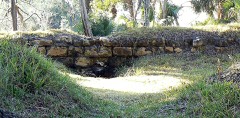 | Fort San Marcos de Apalache | site | 1966 | 66000271 |
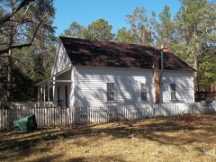 | Mount Beasor Primitive Baptist Church | building | 2012 | 12000866 |
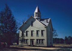 | Old Wakulla County Courthouse | building | 1976 | 76000607 |
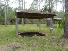 | Panacea Mineral Springs | site | 2022 | 100008423 |
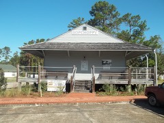 | Sopchoppy Depot | building | 2017 | 100001738 |
 | Sopchoppy High School Gymnasium, Old | building | 1990 | 90000849 |
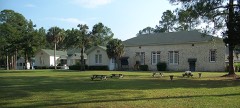 | Sopchoppy School | building | 2001 | 01001088 |
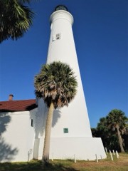 | St. Marks Lighthouse | building | 1972 | 72000356 |
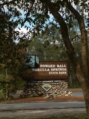 | Wakulla Springs Archeological and Historic District | district | 1993 | 92001760 |
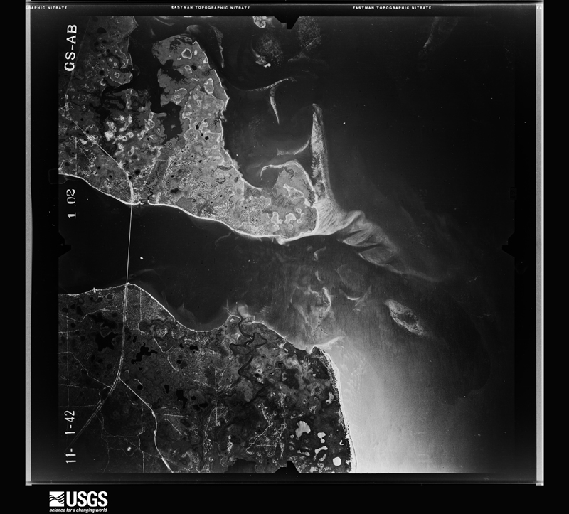
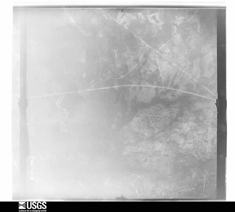
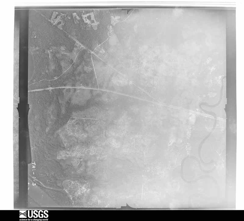
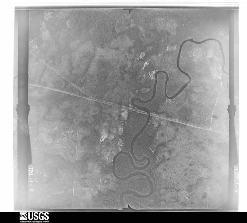
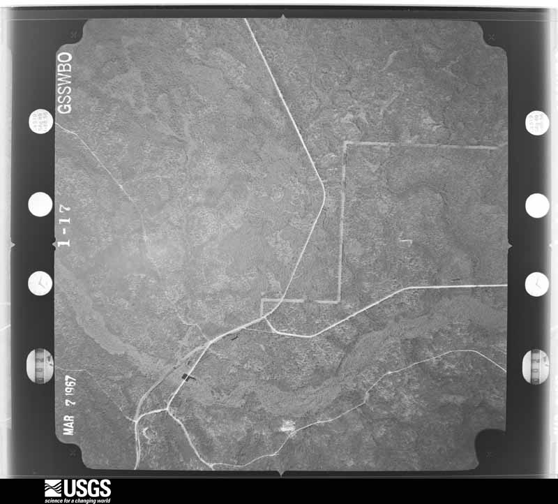
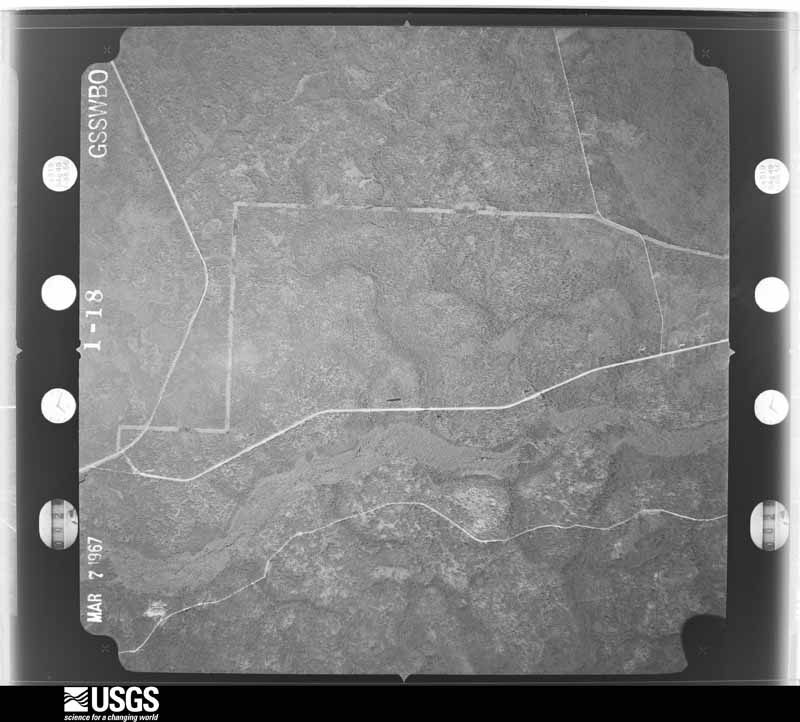
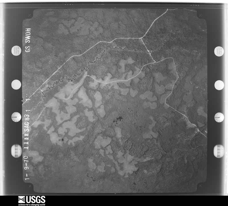
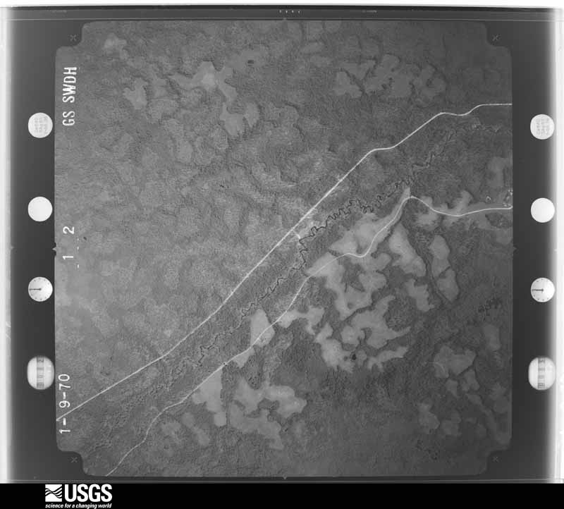
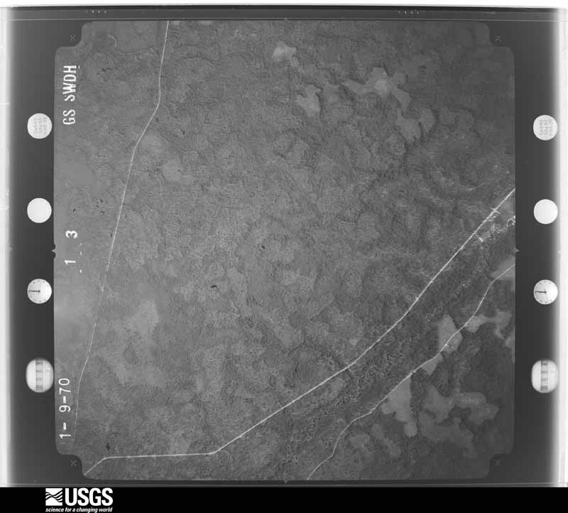
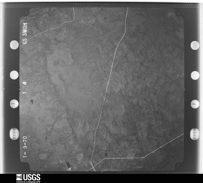
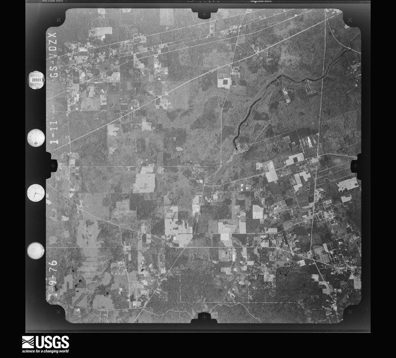
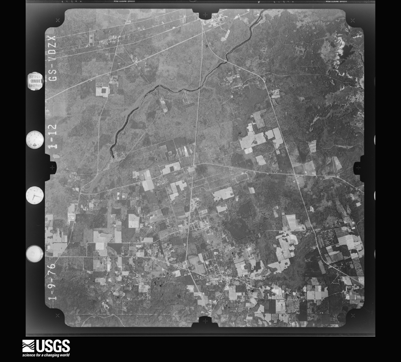
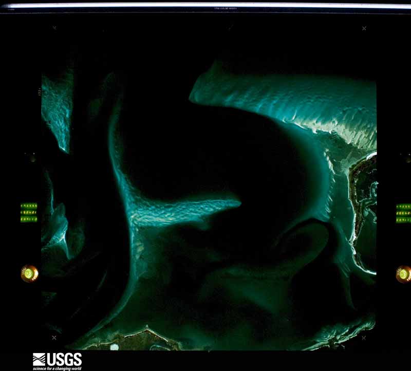
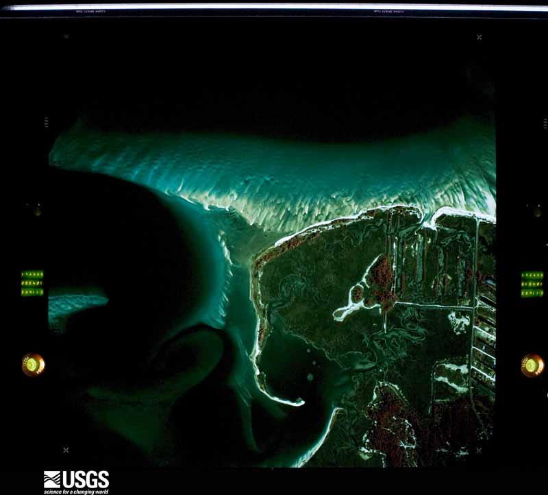
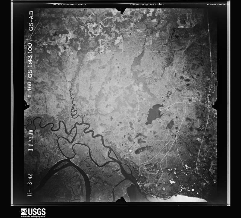
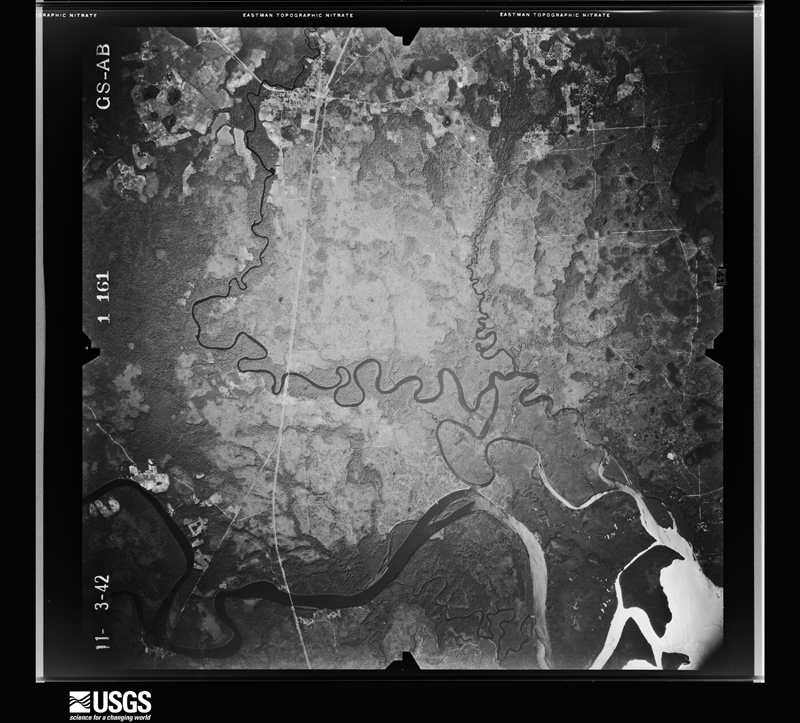
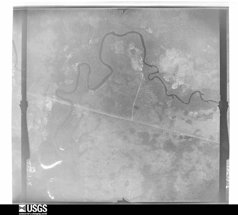
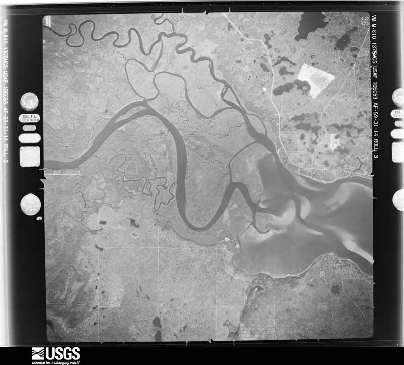
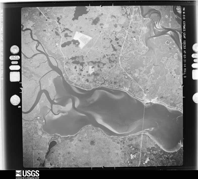
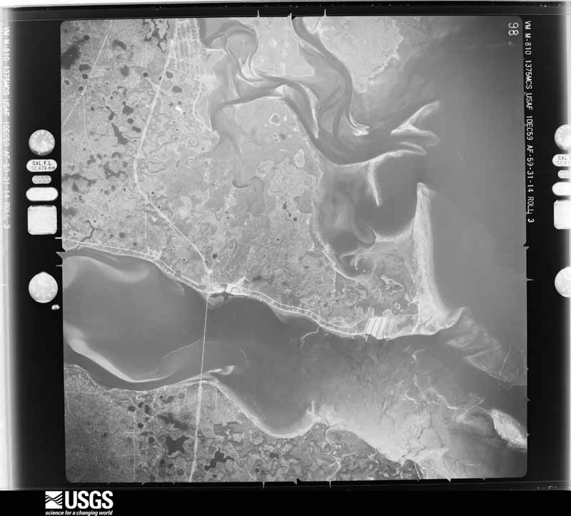
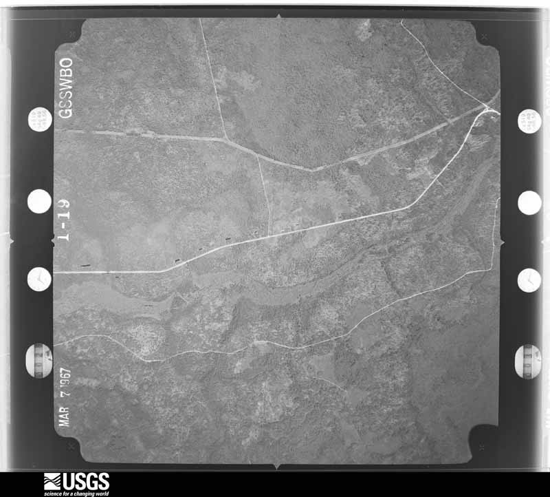
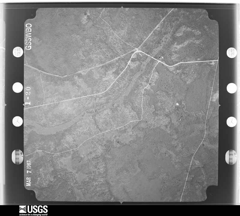
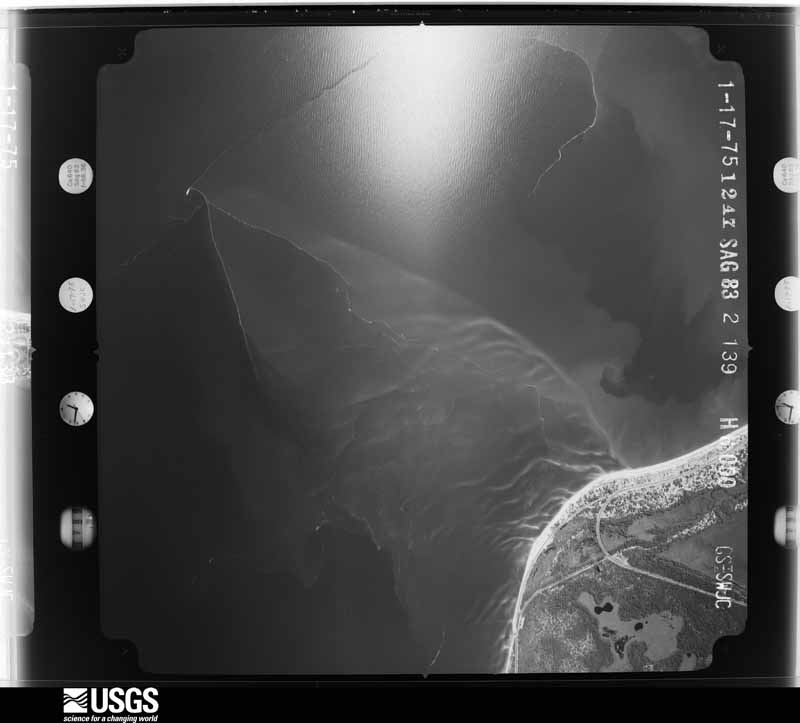
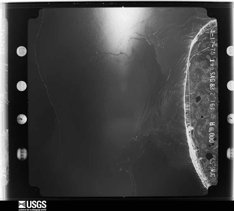
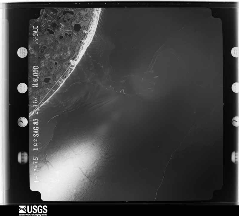
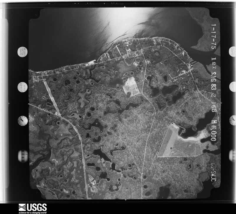
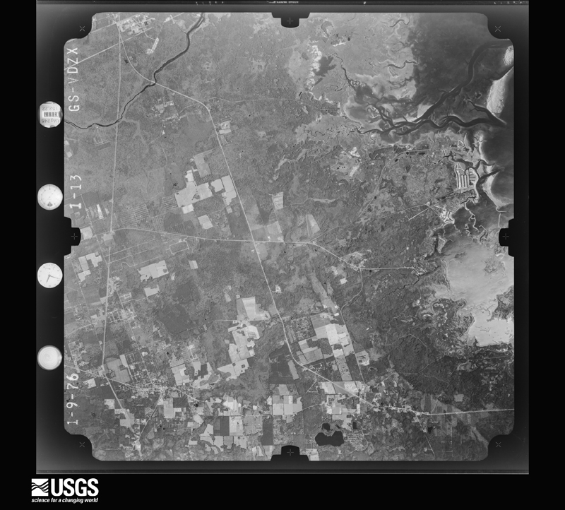
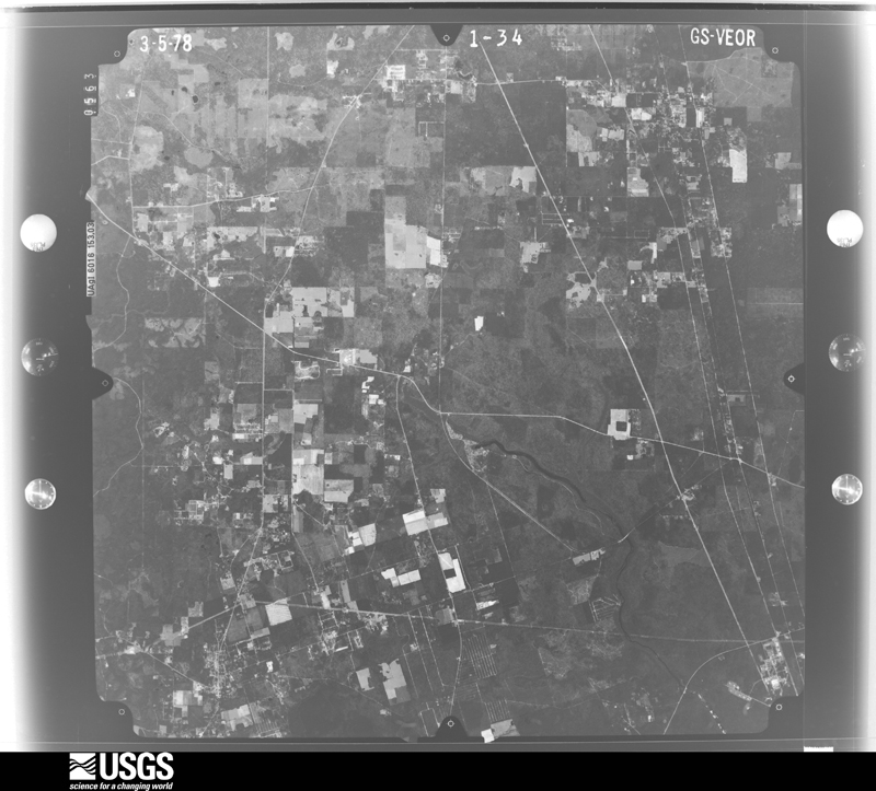
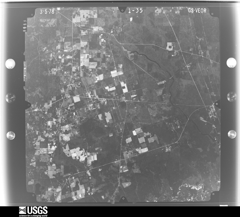
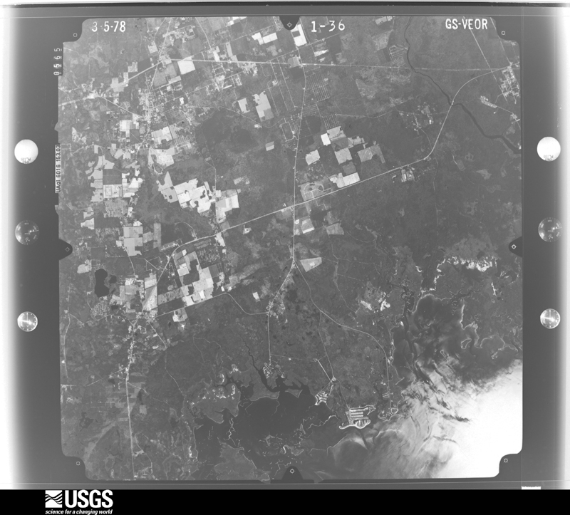
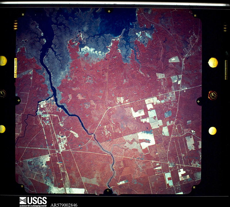
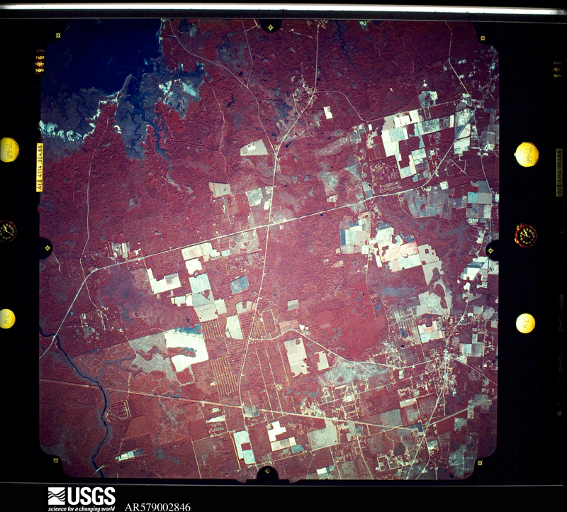
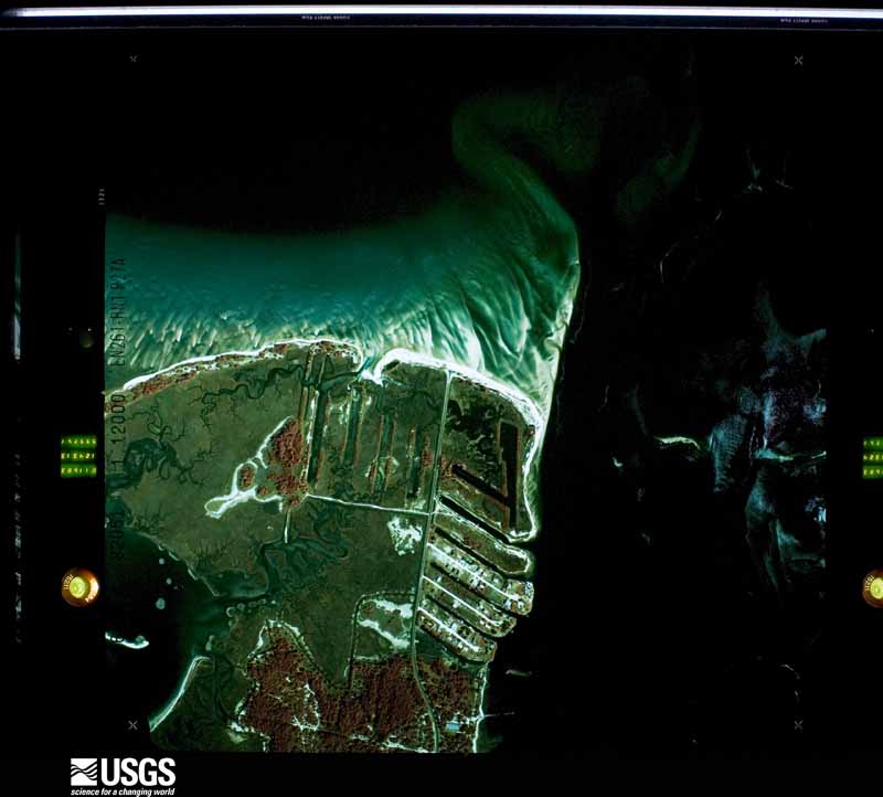
Flown by the U.S. Geological Survey between 1937 and 1989, the Aerial Photo Single Frames collection is the definitive mid-century view of the land: fields, roads and rivers as the camera saw them. The Survey holds 1,498 frames inside the rectangle that bounds this county; the 47 frames below were taken over the county itself, chosen across the decades of flights (at most four a year from that rectangle), so one flight cannot crowd out the rest. The full set is free to browse and download at EarthExplorer under the dataset Aerial Photo Single Frames.
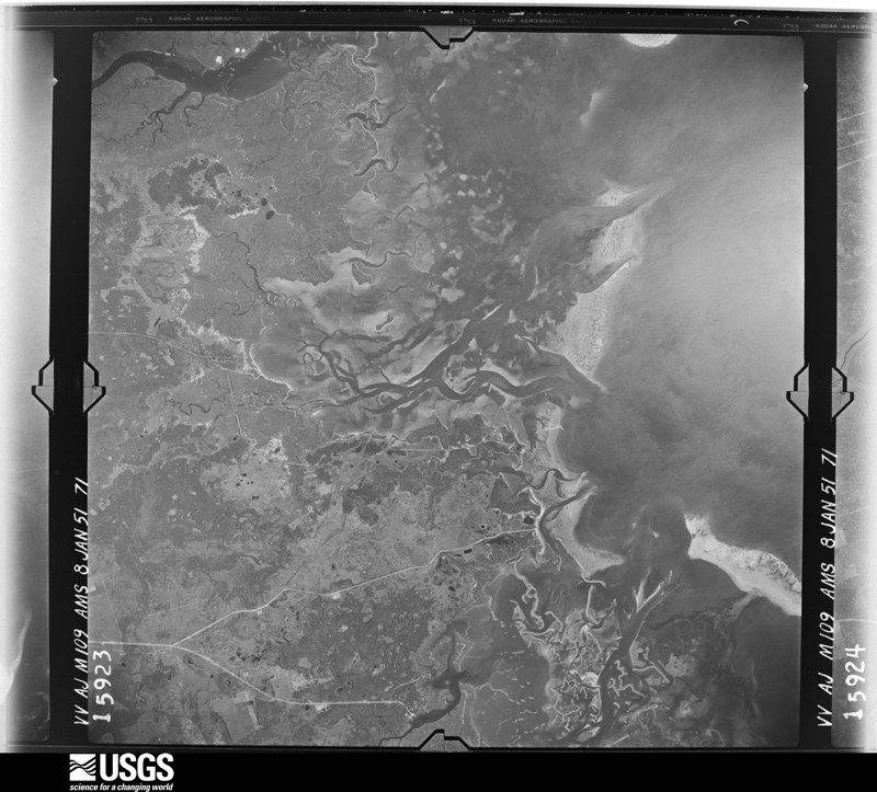
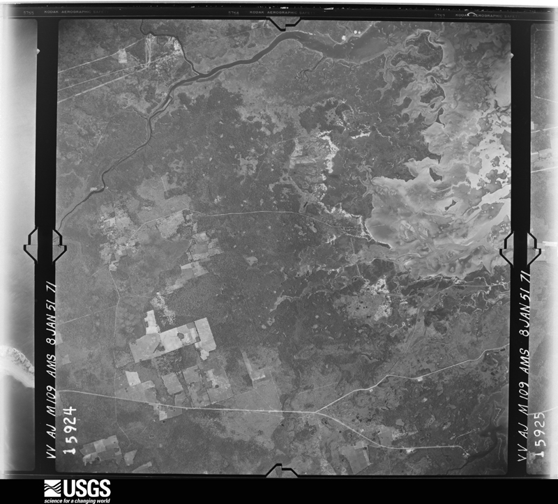
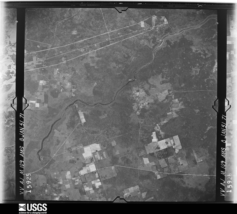
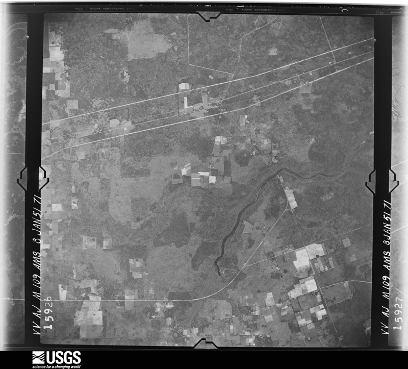










The thermometers that kept this county's weather, and the gages that measured the flow of its streams, as the federal records hold them. The extremes below are measured values from those records, not estimates.
Who lived here in 1950, one enumeration district at a time, as the Census Bureau described each district. Each row opens its official National Archives result, with Population Schedules and ED Maps available there.
Every wildfire the federal occurrence database records inside this county: 841 of them, burning about 80,939 acres. 206 started naturally and 83 were recorded as arson. Each settlement page carries the fires within five miles of it.
| Reported cause | Fires |
|---|---|
| Debris and open burning | 223 |
| Natural | 206 |
| Missing data/not specified/undetermined | 121 |
| Arson/incendiarism | 83 |
| Railroad operations and maintenance | 77 |
| Equipment and vehicle use | 40 |
| Recreation and ceremony | 38 |
| Power generation/transmission/distribution | 14 |
| Other causes | 13 |
| Misuse of fire by a minor | 11 |
| Smoking | 9 |
| Fireworks | 6 |
The five largest, by the area the report gives. Four of them were set deliberately.
| Date | Cause | Size | Reported by | Name on the report |
|---|---|---|---|---|
| 5 April 2004 | Arson/incendiarism | 26,279 acres | National Forests in Florida | EAST FORK |
| 25 May 1998 | Arson/incendiarism | 24,602 acres | National Forests in Florida | HOLIDAY |
| 15 April 1999 | Debris and open burning | 6,675 acres | National Forests in Florida | COW HOUSE |
| 9 March 2018 | Arson/incendiarism | 5,622 acres | National Forests in Florida | CLEAR LAKE |
| 12 April 1999 | Debris and open burning | 2,624 acres | National Forests in Florida | OWL CREEK |
| 3 May 2001 | Arson/incendiarism | 1,518 acres | National Forests in Florida | COUNTY LINE |
| 13 July 2015 | Natural | 1,012 acres | St. Marks National Wildlife Refuge | OTTER CREEK FIRE |
| 8 February 2016 | Missing data/not specified/undetermined | 941 acres | National Forests in Florida | WOODLAKE |
Every settlement page carries the fires within five miles of it - see the settlement index below.
The NOAA Storm Events Database holds 462 reports for this county, causing 1 death, 8 injuries and about $14,638,750 in recorded property damage. Each settlement page carries the reports that name it.
| Kind of event | Reports |
|---|---|
| Thunderstorm Wind | 352 |
| Hail | 36 |
| Tornado | 26 |
| Heavy Rain | 18 |
| Flash Flood | 16 |
| Funnel Cloud | 5 |
| Wildfire | 4 |
| Flood | 2 |
| Lightning | 2 |
| Storm Surge/Tide | 1 |
The most serious of them, by death, then injury, then recorded damage. The accounts are quoted exactly as the forecast office filed them.
| When | Event | Place named | Harm | What the report says |
|---|---|---|---|---|
| July 2015 | Thunderstorm Wind | Wakulla | 1 killed, $75,000 | A large tree fell on a mobile home on Timberwood Ct and killed the 25 year old female occupant as reported by WTXL-TV. |
| April 1964 | Tornado (F2) | not stated | 2 hurt, $250,000 | no account filed |
| June 1998 | Wildfire | Southwest Portion | 2 hurt | Lightning strikes and numerous hot spots ignited new wildfires in the Apalachicola National Forest. A temporary shelter was established in Crawfordville. Eight to ten homes were threatened in the Smith Creek area, just north of Sopchoppy. Two firefighters sustained heat-related injuries. Approximately 24,621 acres of timberland were destroyed since the Holiday Fire erupted on May 25. |
| July 2010 | Lightning | Ivan | 1 hurt, $272,000 | The Wakulla News newspaper reported that a house was hit by lightning and destroyed on Shoemaker Court off of Ivan Church Road in Crawfordville. Nobody was home at the time. Two dogs were rescued. The damage was listed at $272,000 according to the newspaper. A jogger also reportedly suffered an electric shock when lightning struck the ground nearby. |
| January 2014 | Thunderstorm Wind | Shadeville | 1 hurt, $50,000 | A tree fell on a home on Klickitat Dr. One woman suffered minor injuries. Monetary damage was estimated. |
| June 1989 | Tornado (F1) | not stated | 1 hurt, $25,000 | no account filed |
| April 1995 | Thunderstorm Wind | Medart | 1 hurt, $3,000 | Thunderstorms brought several trees down. One tree crashed into a house injuring a man. |
| June 2012 | Flash Flood | Smith Creek | $8,790,000 | Catastrophic flooding occurred in Wakulla county as a result of Tropical Storm Debby, especially near Sopchoppy where the Sopchoppy River crested above its previous record flood stage. Over 27 inches of rain was measured in the area. Over 400 structures were affected by flooding, including over 170 mobile homes and nearly 200 single family residences. Of these structures, 40 were deemed totally destroyed, 61 had major flood damage, 41 had minor flood damage, and 271 were affected by flooding. The Wakulla county property appraiser estimated damage at $8,785,087. |
| December 2005 | Tornado (F1) | Crawfordville | $1,250,000 | A tornado touched down just northwest of Crawfordville in the Arran Road area, then traveled northeast across Wakulla Arran Road and the Fox Hollow subdivision, Ivan Church Road, Evergreen Acres, Emerald Acres, to Harry Morrison Road and Elizabeth Street before lifting. Of the 33 structures affected, 26 homes were damaged, two were destroyed, the Ivan Assembly of God Church was damaged, and four businesses along U.S. Highway 319 were damaged. There were several reports of downed trees and power lines. Damage survey provided by a NWS Tallahassee meteorologist, with additional reports by the Wakulla County EMA and Sheriff. |
| September 2000 | Flash Flood | Countywide | $1,000,000 | Excessive rainfall of eight to ten inches from Tropical Storm Helene caused considerable flooding with more than 120 homes damaged. The worst flooding was along the Sopchoppy River in western Wakulla County along County Road 375 to State Road 20, including the Indian Summers and Mount Beasor subdivisions. Approximately 50 homes were flooded. Many county and access roads were impassable and some were washed out. Several bridges on secondary roads were completely flooded. Flood waters had spilled over onto Harvey Mill and Lawhon Mill roads in Crawfordville. Nearly two feet of water covered Springhill Road. Several creeks and streams were bankfull. Storm runoff caused the Black Creek to swell and cover part of Bloxham Cutoff with a foot of water. There were only voluntary evacuations from coastal and low-lying areas. Reported by the Wakulla County EMA. |
| August 2008 | Flash Flood | Port Leon | $500,000 | Numerous roads and low lying areas were flooded. Rainfall amounts varied from four to six inches over western portions of the county, to as much as eighteen inches in and around Newport and St Marks. Evacuations were ordered along the St Marks River at St Marks and along the Ochlockonee River in and north of Sopchoppy. |
| September 2002 | Storm Surge/Tide | Southwest Portion | $250,000 | Storm surge heights of three to four feet combined with large battering waves eroded a 30-foot wide section of beach at Mashes Island near Panacea. Reported by the Wakulla County EMA. |
| August 2001 | Flash Flood | North Portion | $250,000 | Runoff from torrential rains in Leon County overflowed the Munson Slough basin and caused some flooding in the northern part of Wakulla County, between U.S. Highway 319 (Crawfordville Road) and State Road 61 near Wakulla Springs. Several secondary and dirt roads were washed out. Of the few dozen homes affected, only two were damaged. Excessive drainage upstream into the Sopchoppy River caused some minor lowland flooding in and around Greenough Road, Parsons Lane and the Mount Beasor Road crossing the river just north of Sopchoppy. Several homes at the intersection of Fonigan Road and Lizard Lane were surrounded by water, but not damaged. The Sopchoppy River crested near 30 feet on the evening of August 7, then began to slowly recede. Also, the St Marks River crested near eight feet, or a foot above flood stage on August 10, with no flooding or damage observed. Reported by the Wakulla County EMA and Florida DEM. |
| March 1974 | Tornado (F1) | not stated | $250,000 | no account filed |
| September 2000 | Tornado (F1) | Hilliardville | $175,000 | An F1 tornado touched down just west of U.S. Highway 319 and a few miles north of State Road 267, near the Buck Miller Road area of Riversink. One mobile home was destroyed. The tornado then skipped over to Dillan road and destroyed several mobile homes which were demolished by fallen trees. Numerous trees and power lines were down. Reported by the Wakulla County EMA. |
| January 2023 | Tornado (EF1) | Vereen | $100,000 | A tornado touched down just east of Ashley Hall Road south of Bob Miller Road at approximately 1245 pm ET. The tornado caused considerable damage to trees in the area, snapping and uprooting numerous pine and oak trees. The tornado moved northeast across Bob Miller Road and S & S Ranch Road before dissipating less than two minutes after touching down. Falling trees caused damage to several manufactured homes and automobiles along Bob Miller road. Minor roof damage was also noted at one single-family home at the corner of Dana Drive. The damage to trees was consistent with an EF1 tornado with peak winds of approximately 95 mph. No injuries were reported. Thanks to Wakulla County Emergency Management for cooperation and assistance with the damage survey. |
| January 2014 | Thunderstorm Wind | Shadeville | $100,000 | A tree was blown down onto a home along Spring Creek Highway, slicing it in half. A man was trapped inside but suffered no injuries. Monetary damage was estimated. |
| February 2004 | Thunderstorm Wind | Southwest Portion | $100,000 | A roof was blown off a two-story house on Mashes Sands Road along Ocklockonee Bay. A half mile south of the house, a portion of a overhang to a gas station at the intersection of U.S. Highway 98 and the Ocklockonee Bay Bridge was torn off. Twenty homes were without electricity after pine and cedar trees fell onto power lines on Curtis Mill Road near Sopchoppy. A few large pine trees were uprooted in a yard on Highway 365 north of Sopchoppy. Debris littered much of U.S. Highway 98 from the Ocklockonee Bay Bridge to Panacea. Reported by the Wakulla County EMA. |
| September 2000 | Flash Flood | Countywide | $75,000 | The Wakulla County EMA reported several county roads closed due to flood waters after nearly four inches of rain accumulated since midnight. |
| September 2023 | Thunderstorm Wind | Spring Creek | $50,000 | A tree blew down onto a house. |
| December 2022 | Tornado (EF1) | Sanborn | $50,000 | An EF1 tornado touched down west of Sopchoppy and moved across Smith Creek Road, damaging a residential home. The home sustained roof damage, and a stand of several mature pine trees was snapped half way up. The tornado then moved to the northeast across Smith Creek Road before lifting in a nearby wooded area. Peak winds are estimated to be 90 mph. |
| April 2020 | Thunderstorm Wind | Crawfordville | $50,000 | A tree was down on a house. |
| November 2013 | Thunderstorm Wind | Shadeville | $50,000 | Trees were blown down around Shadeville. Media also reported that a tree fell on an elderly woman's house. Monetary damage was estimated. |
| July 2012 | Tornado (EF1) | Ivan | $50,000 | The damage path from this tornado was not continuous from where the tornado first touched down along Forest Road 313. The tornado skipped along the path causing an inconsistent damage path. The bulk of the damage caused by this tornado was in the EF0 range. However, the most significant damage occurred along Stokely Road near the intersection of David Kinsey Road. Damage in and near this location was consistent with EF1. Two homes reported damage as a result of fallen trees. Damage to these homes was estimated from moderate to major. Numerous power lines were down and residents reported power outages lasting longer than seven hours. |
| May 2016 | Thunderstorm Wind | Crawfordville | $35,000 | A tree was blown over onto a car and truck along Webster Road. There were also power lines reported down. Damage was estimated. |
| April 2020 | Tornado (EF1) | Vereen | $25,000 | A tornado touched down just north of Wakulla Springs State Park. The tornado crossed CR 363 , Woodville Highway, just south of Savannah Road, before lifting just east of Early Bird Trail. Damage was primarily snapped and uprooted trees, but at least one|tree fell on a home. |
| February 2013 | Thunderstorm Wind | Sopchoppy | $25,000 | Numerous trees and power lines were blown down across the county, especially around Crawfordville. Around 90% of the Crawfordville substation lost power. Monetary damage was estimated. |
| April 2008 | Thunderstorm Wind | Shell Pt | $25,000 | Five homes sustained porch damage at Shell Point Village. |
| June 2007 | Thunderstorm Wind | St Marks | $25,000 | A roof was blown off a large dry boat storage facility. |
| August 1999 | Thunderstorm Wind | Wakulla | $25,000 | Wakulla County EMA reported a large tree fell and split a mobile home in half. Several downed trees and power lines on Bob Miller, Richardson and Grapevine Rds. |
| December 1983 | Tornado (F1) | not stated | $25,000 | no account filed |
| April 1983 | Tornado (F1) | not stated | $25,000 | no account filed |
| February 2016 | Thunderstorm Wind | Shadeville | $20,000 | A tree was blown down onto a house on Haida Trail. Damage was estimated. |
| February 2016 | Thunderstorm Wind | Crawfordville | $20,000 | A tree was blown down onto a house near the 3200 block of Crawfordville Highway. Damage was estimated. |
| November 2015 | Flash Flood | Crawfordville | $20,000 | An estimated 5 to 7 inches of rain fell in the Crawfordville area in a short amount of time. Flooding was reported to one home and one car in the area. Damage was estimated. |
| March 2005 | Thunderstorm Wind | Countywide | $20,000 | The Wakulla County Sheriff reported numerous downed trees and power lines. |
| March 2002 | Flash Flood | Countywide | $20,000 | Some county roads were closed. State Highway 267 received minor flooding, with some homes isolated by high waters. Reported by the Wakulla County EMA. |
| June 2015 | Thunderstorm Wind | Crawfordville | $15,000 | A tree was blown down on a car in Crawfordville. This was posted to the WCTV facebook page. Damage was estimated. |
| June 2009 | Thunderstorm Wind | Vereen | $15,000 | Numerous trees were down across the center of the county. A storage trailer sustained major roof damage. One vehicle was damaged by a fallen tree. |
| July 2004 | Thunderstorm Wind | Crawfordville | $15,000 | Downed trees and power lines. Several trees fell on a house. Reported by the Wakulla County Sheriff. |
| March 1999 | Thunderstorm Wind | Sopchoppy | $15,000 | Several trees and power lines down. Slight roof damage to a few residences. |
| March 2026 | Thunderstorm Wind | Ivan | $10,000 | Trees were down along Ivan Church Road with damage to a home. |
| September 2023 | Thunderstorm Wind | Spring Creek | $10,000 | Numerous trees and power lines were blown down. Damage photos from this region supported 85-90 mph straight line wind gusts. |
| February 2017 | Thunderstorm Wind | Shadeville | $10,000 | A tree fell and caused roof damage to a house. Damage cost was estimated. |
| March 2016 | Thunderstorm Wind | Panacea-Wakulla Arpt | $10,000 | Roof and tree damage occurred along Surf Road about one-half mile west of Angelos Restaurant. A picture was submitted showing the roof damage. Damage cost was estimated. |
| June 2015 | Thunderstorm Wind | Shadeville | $10,000 | A tree was blown down on a house and a car near Beechwood Dr. Damage was estimated. |
| October 2014 | Thunderstorm Wind | Bethel | $10,000 | A power pole was snapped on Cooperwood Road along with roof damage to a house. Monetary damage was estimated. |
| October 2014 | Thunderstorm Wind | Ivan | $10,000 | Roof damage occurred to a home near Whiddon Lake Road and Zion Hills Road. Monetary damage was estimated. |
| April 2011 | Thunderstorm Wind | Vereen | $10,000 | Trees were uprooted, power lines were down, and a light pole was down. The monetary damage figure provided is a rough estimate. |
| March 2008 | Thunderstorm Wind | Sopchoppy | $10,000 | Straight line winds downed numerous trees and power lines across the southern and eastern portions of the county. Forty homes were without power. |
| July 2007 | Thunderstorm Wind | Crawfordville | $10,000 | Numerous trees and power lines were down throughout the county. |
| April 2006 | Tornado (F0) | Crawfordville | $10,000 | A weak tornado touched down near Whiddon Lake, then crossed U.S. Highway 319 and up the middle of Lonnie Raker Lane. It skipped across and caused minor structural damage on Old Bethel Road. There were numerous downed trees along its intermittent path. Reported by the Wakulla Country EMA. |
| March 2002 | Thunderstorm Wind | Countywide | $10,000 | Some trees and power lines down. Reported by the Wakulla County Sheriff. |
| September 2002 | Flash Flood | North Portion | $10,000 | Up to five inches of rain flooded several streets in Crawfordville and Woodville. Portions of U.S. Highway 319 and State Road 361 were under water. Reported by the Wakulla County Sheriff. |
| November 1995 | Tornado (F0) | Horseshoe Beach | $10,000 | Sheriff's office and storm spotter reprted a tornado that overturned a mobile home and damaged some sheds. |
| December 1996 | Thunderstorm Wind | Smith Creek | $10,000 | no account filed |
| June 2023 | Thunderstorm Wind | Crawfordville | $5,000 | Multiple trees and power lines were blown down across the county. |
| June 2023 | Thunderstorm Wind | Shadeville | $5,000 | Multiple trees and power lines were blown down in the county. |
| February 2020 | Thunderstorm Wind | Crawfordville | $5,000 | A tree was blown down on Harvey Mill Road, and a car ran into the tree. Damage cost was estimated. |
| February 2020 | Thunderstorm Wind | Crawfordville | $5,000 | A tree fell on a home, resulting in roof damage. Damage cost was estimated. |
The Survey's mineral resources record lists 8 workings inside this county. None of them still produces: all are closed or unrecorded. Each settlement page carries the workings within five miles of it.
| Commodity | Workings |
|---|---|
| Sand | 4 |
| Sand and Gravel, Construction | 2 |
| Limestone, General | 2 |
The least common of them first, because a county's hundredth gravel pit says nothing its first ten did not.
| Where | Site | Commodity | Status | Recorded |
|---|---|---|---|---|
| Cannon Limestone - Moccasin Dip Mine | Limestone, General | Unknown | Limestone | |
| Panacea Pit | Sand and Gravel, Construction | Past Producer | ||
| Peavy and Son, Inc. - Hannon Mine | Limestone, General | Unknown | Limestone | |
| Wakulla Pit | Sand and Gravel, Construction | Past Producer | ||
| Hannon Mines - Hannon Mine #2 | Sand | Unknown | ||
| Lost Creek Land Development - 98 Mine | Sand | Unknown | ||
| Millender Trucking & Land Clearing - Millender Mine | Sand | Unknown | Sand | |
| N. G. Wade Investment Co. - Wade Mine | Sand | Unknown |
Named settlements recorded in the Geographic Names Information System, each with the topographic sheets covering it. Villages, hamlets and abandoned places alike. Each is shown with the nearest named watercourse or landform and the survey quadrangle it falls on.
East Wakulla census division · 32327 · On Lost Creek · Crawfordville West quadrangle
14 sheets, 1940 to 1988
West Wakulla census division · 32358 · On Cow Creek · Sanborn quadrangle
13 sheets, 1945 to 1990
East Wakulla census division · 32327 · On Black Creek · Hilliardville quadrangle
16 sheets, 1940 to 1988
East Wakulla census division · 32327 · Crawfordville East quadrangle
14 sheets, 1940 to 1988
East Wakulla census division · 32327 · On Jump Creek · Crawfordville East quadrangle
14 sheets, 1940 to 1988
West Wakulla census division · 32327 · On Mill Creek · Crawfordville West quadrangle
14 sheets, 1940 to 1988
East Wakulla census division · 32327 · On Walker Creek · Spring Creek quadrangle
14 sheets, 1940 to 1988
East Wakulla census division · 32327 · Crawfordville West quadrangle
14 sheets, 1940 to 1988
East Wakulla census division · 32327 · On Moriah Creek · Saint Marks quadrangle
14 sheets, 1954 to 1988
West Wakulla census division · 32358 · On Deep Branch · Sopchoppy quadrangle
14 sheets, 1940 to 1988
West Wakulla census division · 32346 · Near Hopkins Island · Sopchoppy quadrangle
14 sheets, 1940 to 1988
East Wakulla census division · Near Collins Hammock · Saint Marks quadrangle
14 sheets, 1954 to 1988
East Wakulla census division · On Port Leon Creek · Saint Marks quadrangle
14 sheets, 1954 to 1988
East Wakulla census division · 32355 · On Rattlesnake Branch · Saint Marks quadrangle
14 sheets, 1954 to 1988
East Wakulla census division · 32355 · On First Branch · Saint Marks quadrangle
14 sheets, 1954 to 1988
No longer a settlement
West Wakulla census division · 32358 · On Big Spring Creek · Sanborn quadrangle
13 sheets, 1945 to 1990
East Wakulla census division · 32327 · Crawfordville East quadrangle
14 sheets, 1940 to 1988
East Wakulla census division · 32355 · On First Branch · Saint Marks quadrangle
14 sheets, 1954 to 1988
West Wakulla census division · 32346 · On Skipper Creek · Spring Creek quadrangle
14 sheets, 1940 to 1988
West Wakulla census division · 32358 · On North Branch Smith Creek · Smith Creek quadrangle
14 sheets, 1945 to 1990
East Wakulla census division · 32327 · Near Alligator Island · Spring Creek quadrangle
14 sheets, 1940 to 1988
East Wakulla census division · 32327 · On Gander Creek · Spring Creek quadrangle
14 sheets, 1940 to 1988
East Wakulla census division · 32327 · Crawfordville East quadrangle
14 sheets, 1940 to 1988
East Wakulla census division · 32327 · Crawfordville East quadrangle
14 sheets, 1940 to 1988
East Wakulla census division · 32327 · On McBride Slough · Crawfordville East quadrangle
14 sheets, 1940 to 1988
No longer a settlement
West Wakulla census division · Lake Talquin SE quadrangle
13 sheets, 1943 to 1988
No longer a settlement
West Wakulla census division · 32358 · Smith Creek quadrangle
14 sheets, 1945 to 1990
No longer a settlement
The vanished settlements of Wakulla County: the places named above that are no longer on the map.