 Block
BlockSmith Creek, Florida
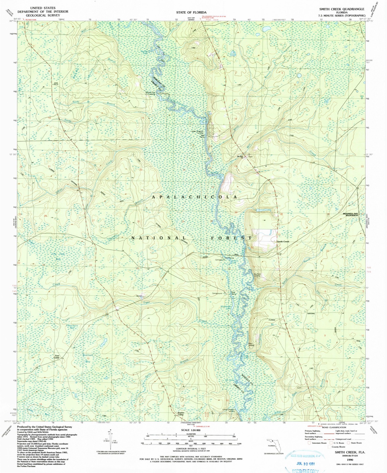
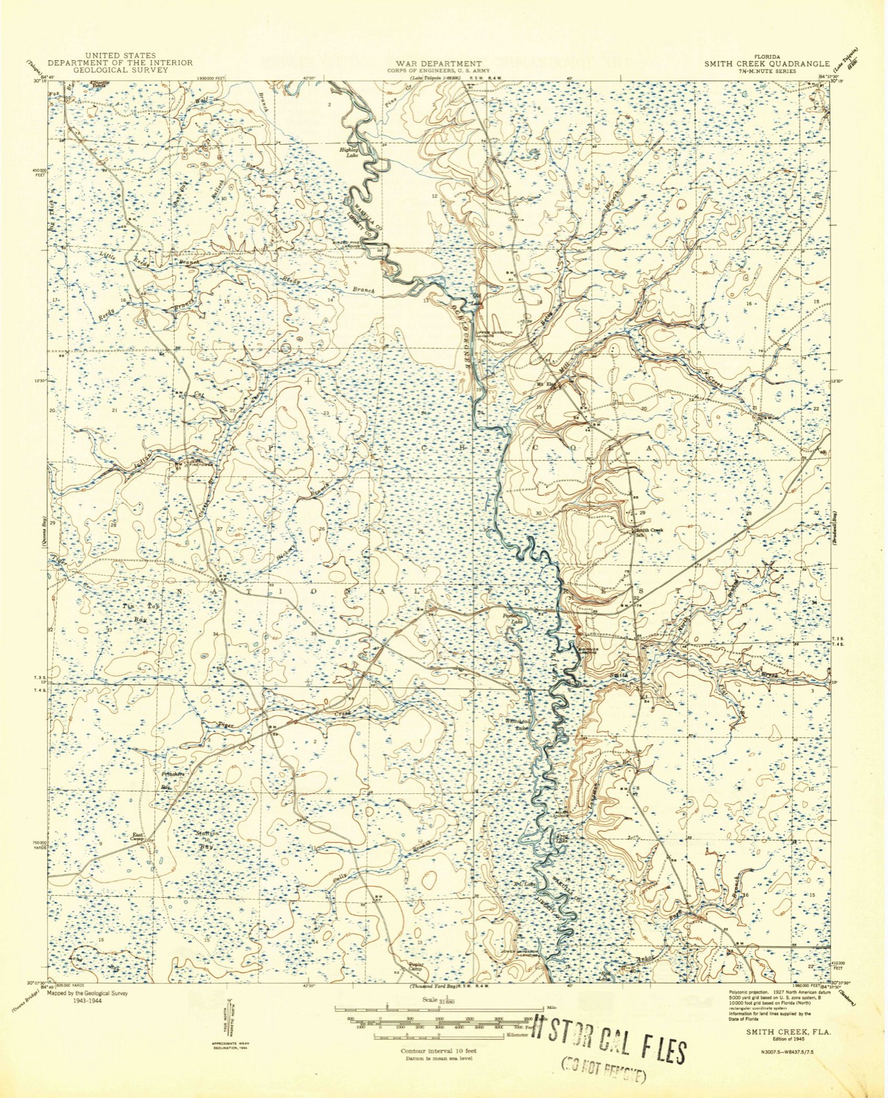
14 topographic sheets cover this place, the earliest surveyed in 1945 and the latest in 1990. It stands in the West Wakulla census division. It lies in ZIP code area 32358. It stands on North Branch Smith Creek. The Survey maps it on the Smith Creek quadrangle. It stands 72 feet above sea level.
Then and now
1945 to 1990The same ground, surveyed 45 years apart. Drag the handle to wipe between them. Both sheets are United States Geological Survey originals; neither has been altered.
Compare 1945 against another survey:
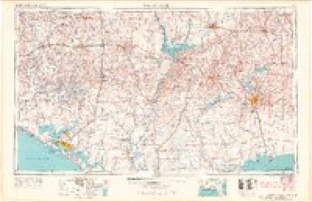
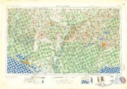
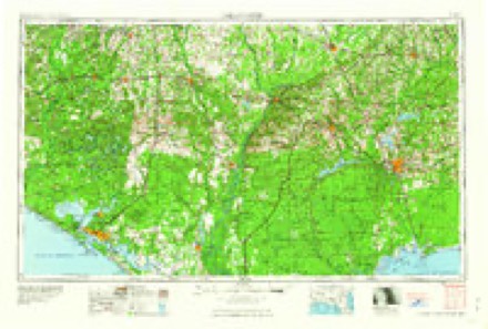
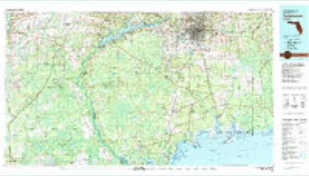
Topographic sheets covering this place
8 surveys from 14 printed sheetsMatched by testing this settlement's coordinate against the published boundary of every sheet in the United States Geological Survey's historical collection. Each opens the scanned sheet at the Survey.
- 1945 USGS Smith Creek quadrangle1:31680, 2 printings
- 1945 USGS Smith Creek quadrangle1:24000, 2 printings
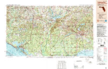
- 1954 USGS Tallahassee quadrangle1:250000, 4 printings
- 1959 USGS Tallahassee quadrangle1:250000
- 1960 USGS Tallahassee quadrangle1:250000
- 1979 USGS Tallahassee quadrangle1:100000
- 1988 USGS Tallahassee quadrangle1:250000, 2 printings
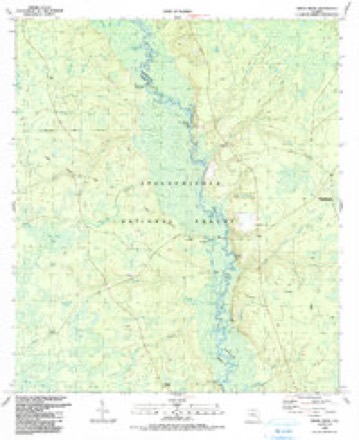
- 1990 USGS Smith Creek quadrangle1:24000
Fires near this place
63 since 1992Regional context, not property-specific evidence. The federal wildfire occurrence database lists 63 fires within 5 miles of Smith Creek between 1992 and 2020, burning about 28,412 acres in total. 31 started naturally. 13 were recorded as arson. Distance is straight-line from the map coordinates, so a fire counted here may appear on a neighbouring settlement's page as well.
| Reported cause | Fires |
|---|---|
| Natural | 31 |
| Arson/incendiarism | 13 |
| Debris and open burning | 8 |
| Missing data/not specified/undetermined | 7 |
| Recreation and ceremony | 3 |
| Equipment and vehicle use | 1 |
The most recent of them, most recent first, with the day each was reported and the service that recorded it.
| Date | Cause | Size | Reported by | Name on the report |
|---|---|---|---|---|
| 6 September 1995 | Arson/incendiarism | 81 acres | National Forests in Florida | RED LAKE |
| 29 September 2011 | Debris and open burning | 800 acres | National Forests in Florida | 313 |
| 9 July 2017 | Natural | 5.0 acres | National Forests in Florida | 111 |
| 9 July 2005 | Debris and open burning | 1.0 acres | National Forests in Florida | DEER XING |
| 5 July 1995 | Natural | 81 acres | National Forests in Florida | LOST |
| 30 July 2000 | Natural | 2.0 acres | National Forests in Florida | BALFOUR |
| 29 July 2000 | Natural | under an acre | National Forests in Florida | SNAG |
| 24 July 2000 | Natural | 2.0 acres | National Forests in Florida | FRED |
Settlements close enough to share some of these fires:
Storms near this place
7 since 1996Regional context, not property-specific evidence. The National Weather Service names Smith Creek in 7 storm reports between 1996 and 2023: 3 thunderstorm wind, 3 tornado, 1 flash flood. No death or injury is recorded in these reports. Each account below is quoted exactly as the forecast office filed it, from the NOAA Storm Events Database, and each date opens the federal record of that event.
| When | Event | Place named | Harm | What the report says |
|---|---|---|---|---|
| June 2012 | Flash Flood | Smith Creek | $8,790,000 | Catastrophic flooding occurred in Wakulla county as a result of Tropical Storm Debby, especially near Sopchoppy where the Sopchoppy River crested above its previous record flood stage. Over 27 inches of rain was measured in the area. Over 400 structures were affected by flooding, including over 170 mobile homes and nearly 200 single family residences. Of these structures, 40 were deemed totally destroyed, 61 had major flood damage, 41 had minor flood damage, and 271 were affected by flooding. The Wakulla county property appraiser estimated damage at $8,785,087. |
| December 1996 | Thunderstorm Wind | Smith Creek | $10,000 | no account filed |
| March 2019 | Tornado (EF0) | Smith Creek | $5,000 | An EF-0 tornado touched down in the Apalachicola National Forest in far western Wakulla County producing a TDS on the TLH radar. Aerial survey confirmed that damaged was isolated to a few trees. The tornado did flip a small shed-sized metal canopy on Revadee Spears Road. There was some minor damage to a commercial sign on U.S. Route 319 just north of Linzy Store Road. Across the highway, a lone tree was snapped on the south end of the Walmart parking lot. No damage was found any further east. Damage cost was estimated. |
| October 2014 | Thunderstorm Wind | Smith Creek | $5,000 | Several trees were blown down across the county. |
| April 2023 | Tornado (EF0) | Smith Creek | - | A TDS occurred in northwestern Wakulla county in a rural, forested area with no structures to impact. This tornado was rated EF0 due to tree damage. |
| June 2023 | Thunderstorm Wind | Smith Creek | - | Several trees were blown down in Wakulla county. |
| April 2019 | Tornado (EF0) | Smith Creek | - | A tornado initially touched down in the Apalachicola National Forest in Liberty county and caused minor tree damage which was surveyed along numerous Forest Roads. When the tornado crossed into Wakulla county, a property owner along Smith Creek Road reported trees down at their address, which was relayed to the NWS by the Wakulla County Sheriff's department. The tornado continued northeast into southwest Leon county where it remained in the forest and continued to cause minor tree damage. The tornado dissipated before reaching Bloxham Cutoff Road, or any populated areas in Leon county. |
Nearest settlements
The eight closest, with where each one stands in the county. Distances are straight-line, computed from the Geographic Names Information System coordinates.
| Map | Place | Distance | Sheets |
|---|---|---|---|
| Wethocouchy (historical) | 3.6 miles | 14 | |
| Sanborn | 8.1 miles | 13 | |
| Welika (historical) | 9.6 miles | 13 | |
| Oak Park | 10.1 miles | 14 | |
| Ashmore | 11.9 miles | 14 | |
| Sopchoppy | 12.3 miles | 14 | |
| Arran | 12.8 miles | 14 | |
| Buckhorn | 13.4 miles | 14 |
Elsewhere
Matched on this settlement's Geographic Names Information System number rather than its name, so it cannot be a different place of the same name in another state.
| Wikidata item Q131468305 | The structured record the population and elevation above come from. Public domain (CC0). |
Provenance
This settlement is recorded in the Geographic Names Information System as feature 304740. The sheet list is computed by point-in-boundary test against the United States Geological Survey's historical topographic inventory. Both are works of the United States government and carry no copyright under 17 U.S.C. 105.
Wildfire. Short, Karen C. 2022. Spatial wildfire occurrence data for the United States, 1992-2020 [FPA_FOD_20221014]. 6th Edition. Fort Collins, CO: Forest Service Research Data Archive. https://doi.org/10.2737/RDS-2013-0009.6 Collected with United States Government funding and usable without additional permissions or fees.
Storms. NOAA National Centers for Environmental Information, Storm Events Database https://www.ncei.noaa.gov/stormevents/ A work of the United States government, no copyright under 17 U.S.C. 105. Narratives are quoted verbatim from the National Weather Service report and are not edited or summarised.