 Block
BlockFrom the record
5 National Register listings published here.
Sources: the National Register database, National Park Service
62 topographic sheets cover 29 settlements here, and 5 properties are on the National Register of Historic Places.
5 National Register listings published here.
Sources: the National Register database, National Park Service
Every property in this county listed on the National Register of Historic Places, with the year it was listed and the federal nomination document.
| Photograph | Property | Type | Listed | Reference |
|---|---|---|---|---|
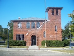 | Chipley City Hall | building | 2005 | 05000216 |
| Dr. James B. and Virginia Craven House | building | 2020 | 100004889 | |
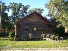 | Moss Hill Church | building | 1983 | 83003554 |
 | South Third Street Historic District | district | 1989 | 89000045 |
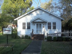 | Woman's Club of Chipley | building | 1997 | 97001514 |
Selected from the Digital Public Library of America's 3 image records catalogued for this county. Every one shown here carries a public-domain status or a licence that permits reuse on a site that carries advertising; non-commercial, share-alike and restricted images are excluded. The selection is spread across the county's towns (at most eight per town), so no single institution's bulk upload crowds out the rest. Each opens the holding library's record, and the complete set at the Digital Public Library of America is one click away.
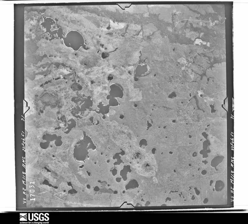
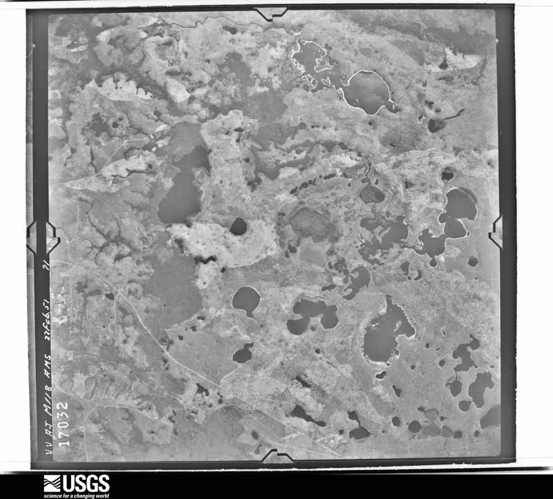
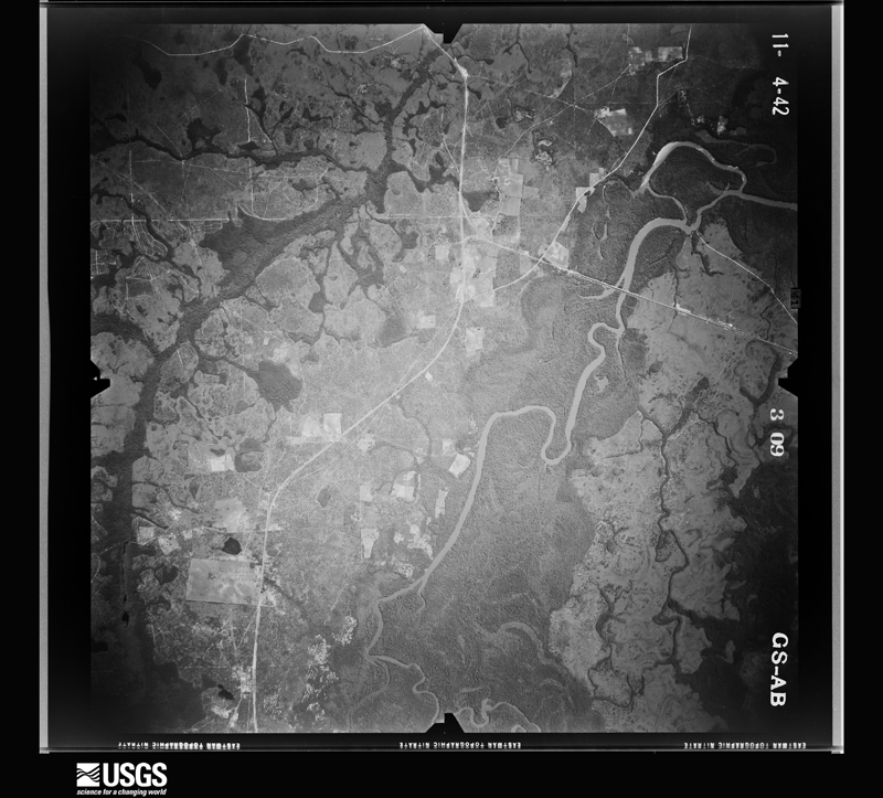
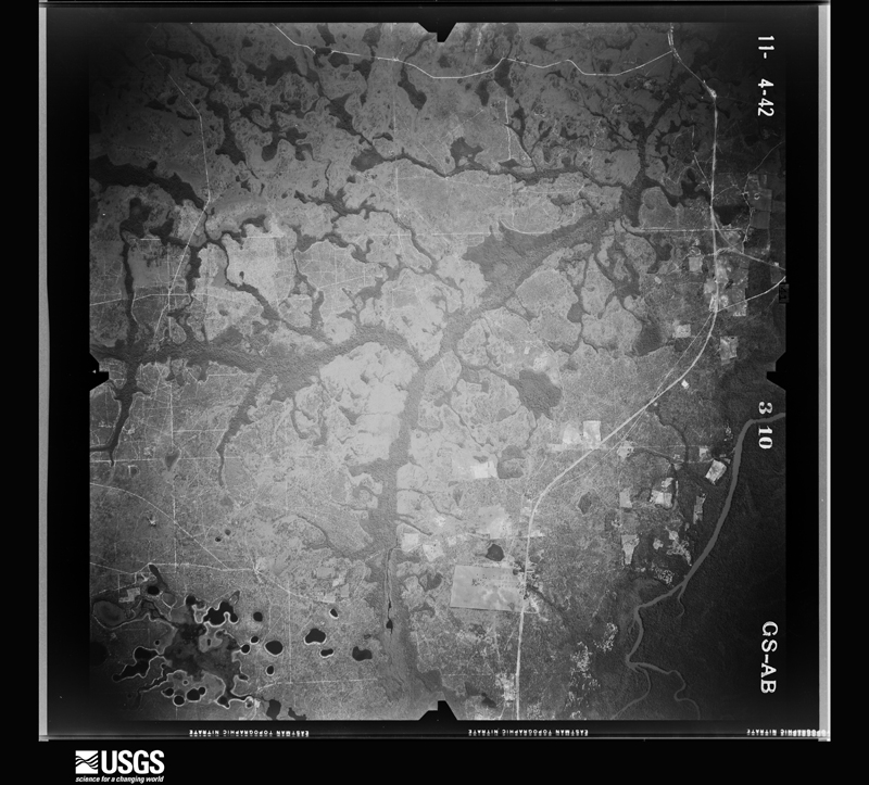
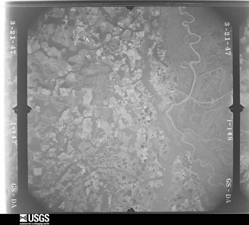
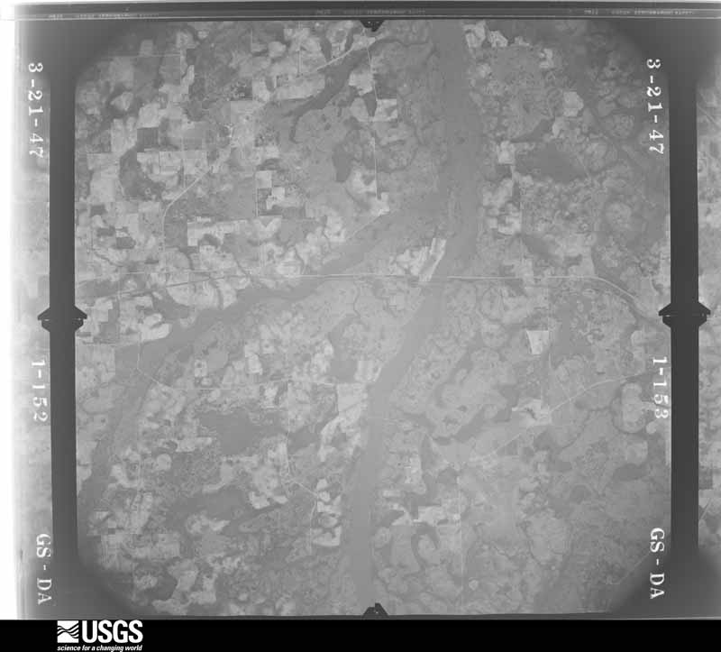
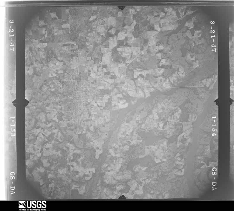
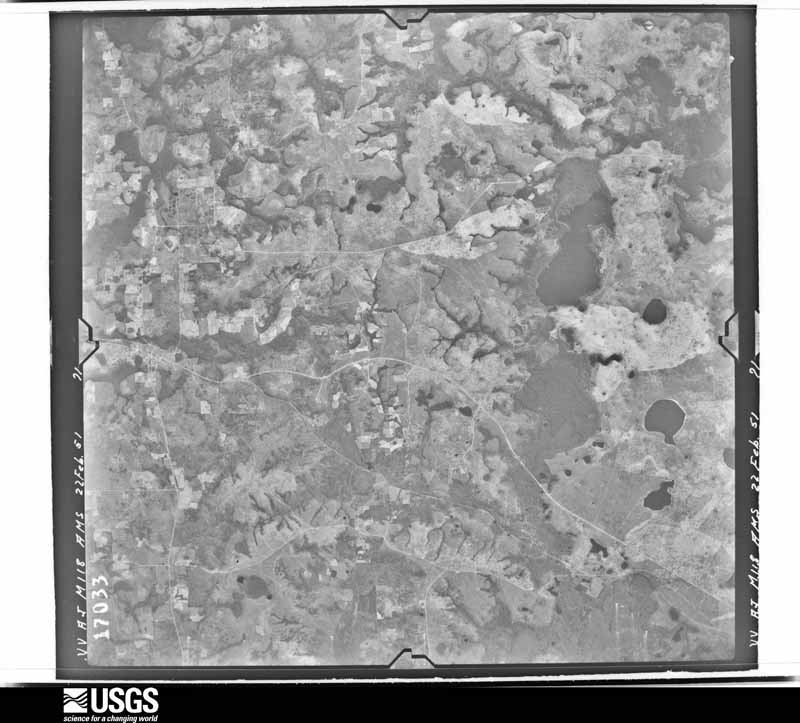
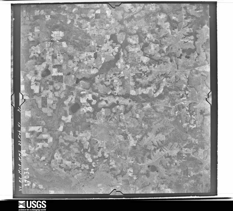
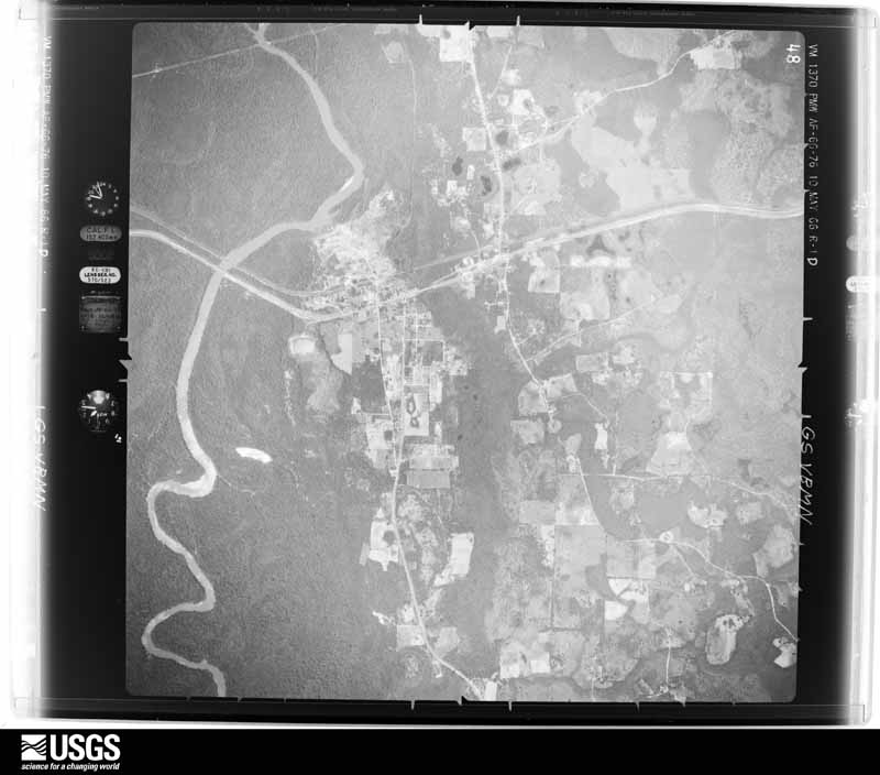
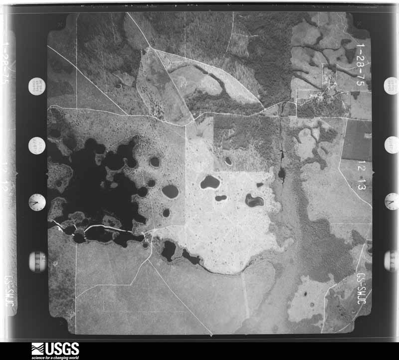
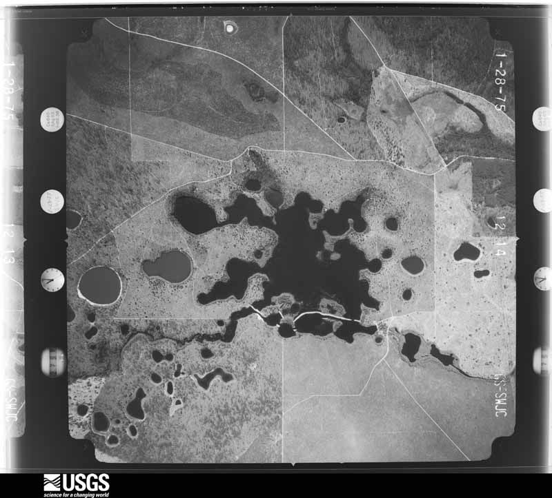
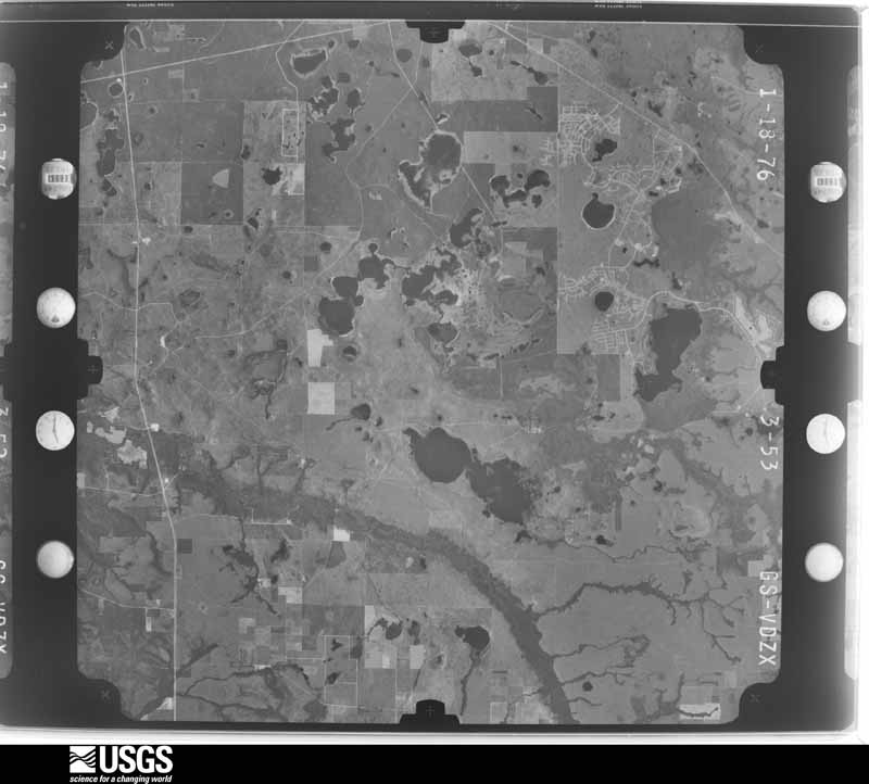
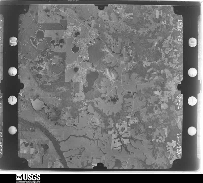
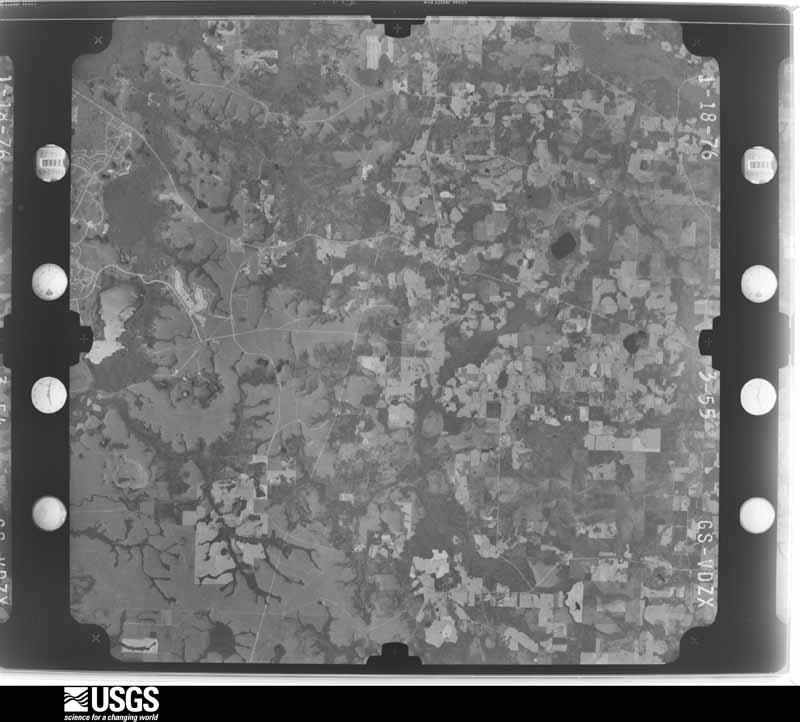
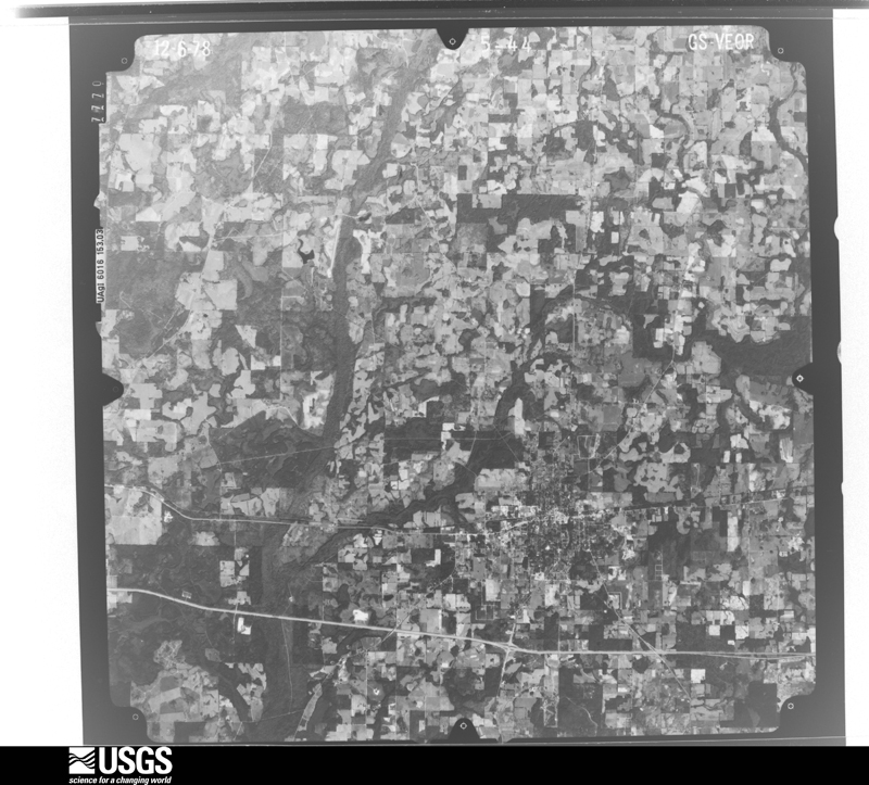
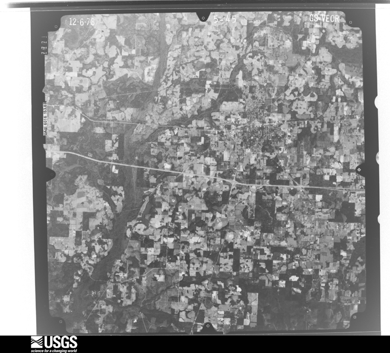
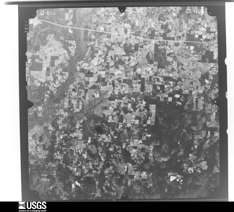
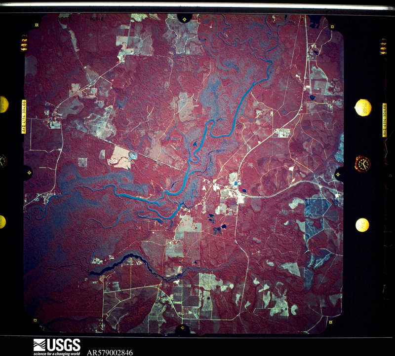
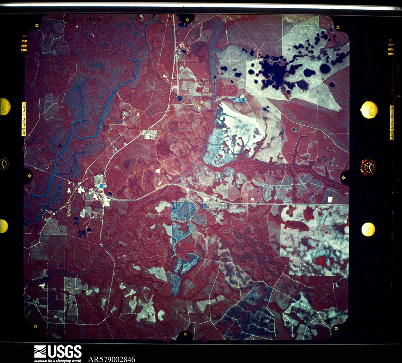
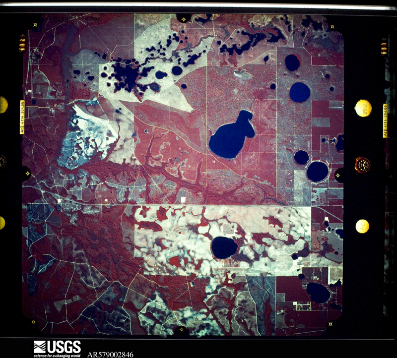
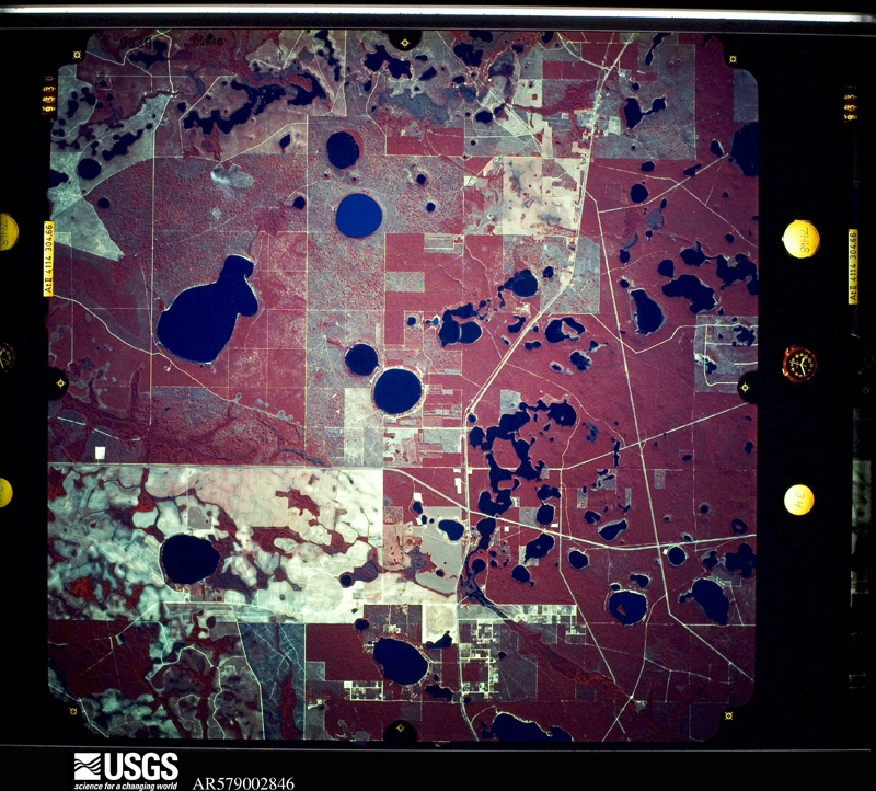
Flown by the U.S. Geological Survey between 1937 and 1989, the Aerial Photo Single Frames collection is the definitive mid-century view of the land: fields, roads and rivers as the camera saw them. The Survey holds 988 frames inside the rectangle that bounds this county; the 35 frames below were taken over the county itself, chosen across the decades of flights (at most four a year from that rectangle), so one flight cannot crowd out the rest. The full set is free to browse and download at EarthExplorer under the dataset Aerial Photo Single Frames.



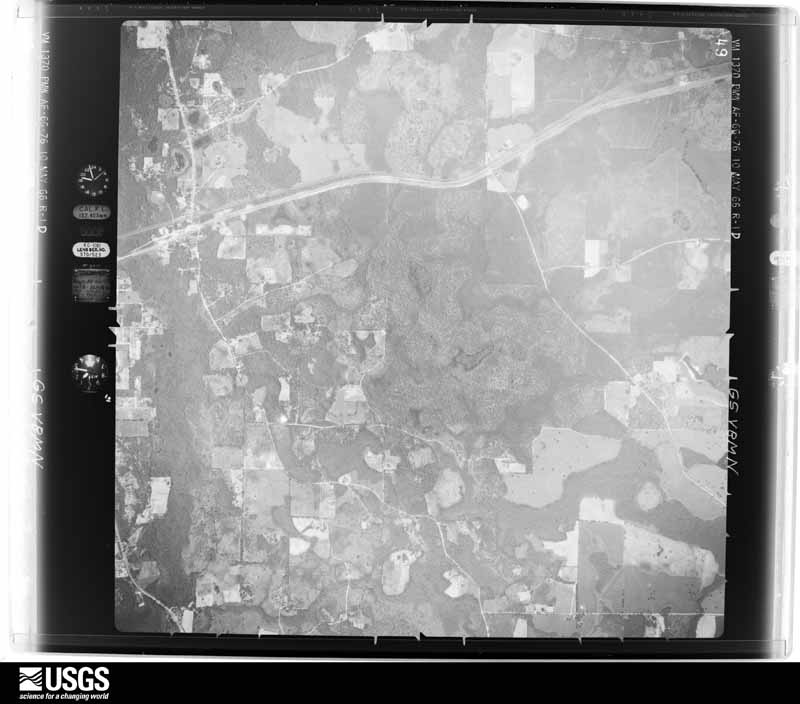
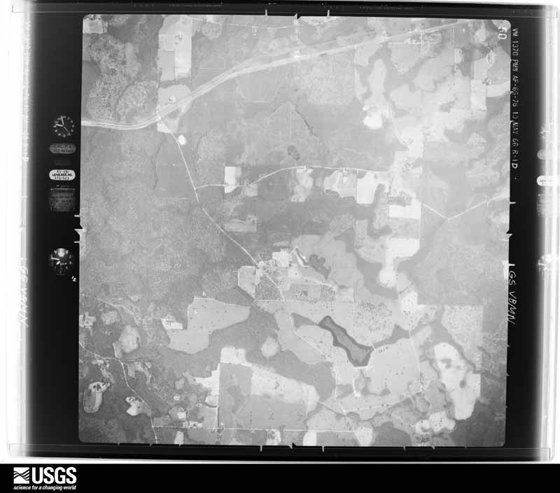
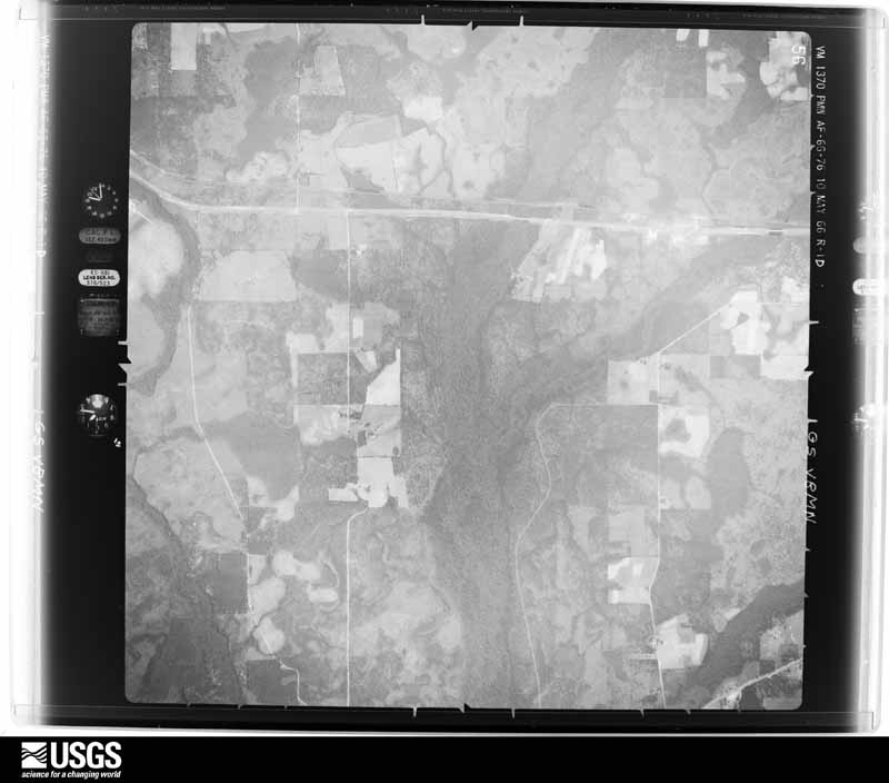
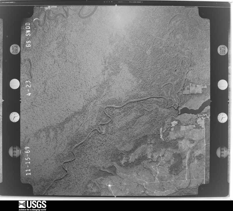
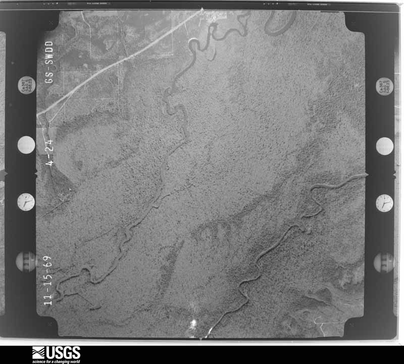
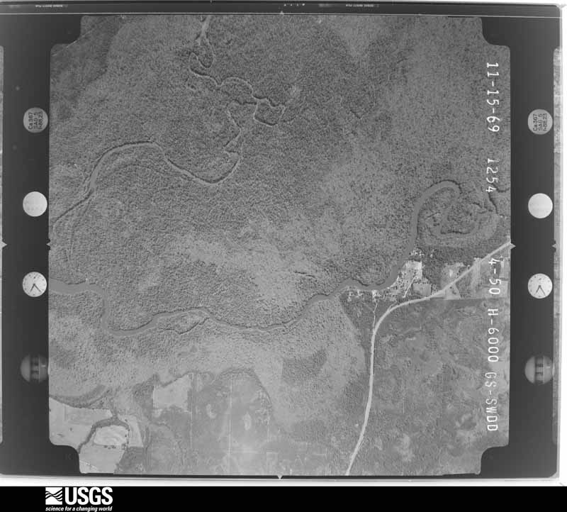
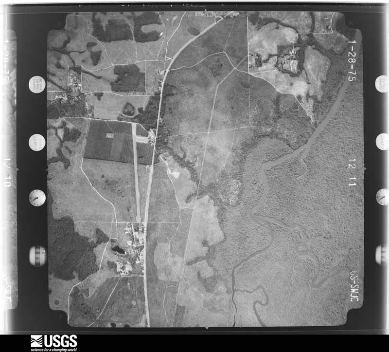
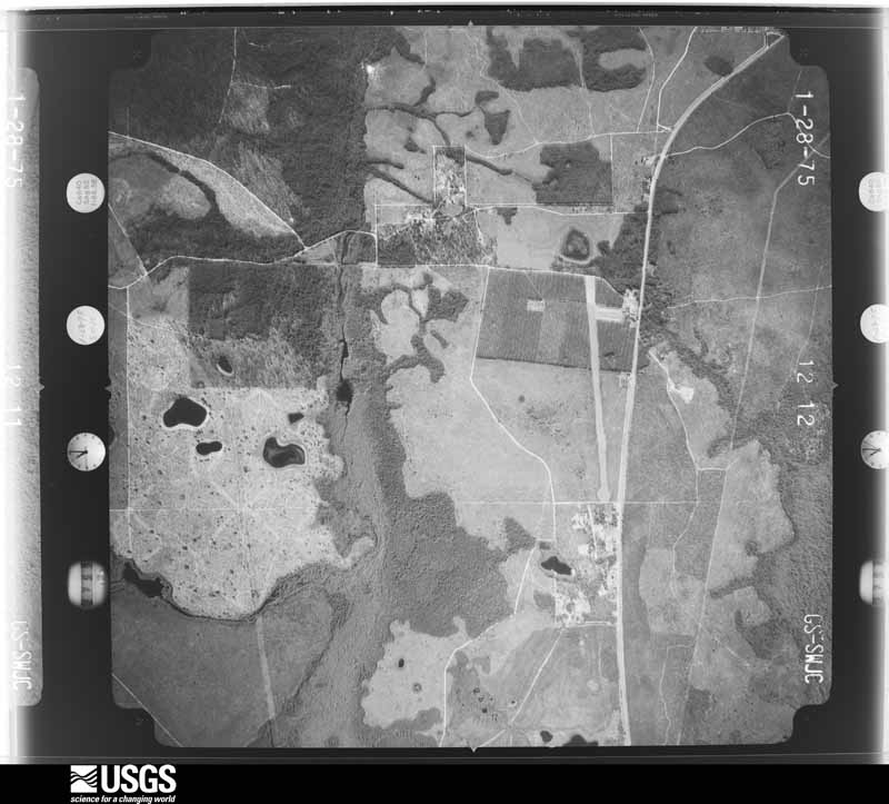


The thermometers that kept this county's weather, and the gages that measured the flow of its streams, as the federal records hold them. The extremes below are measured values from those records, not estimates.
Who lived here in 1950, one enumeration district at a time, as the Census Bureau described each district. Each row opens its official National Archives result, with Population Schedules and ED Maps available there.
Every wildfire the federal occurrence database records inside this county: 884 of them, burning about 6,442 acres. 71 started naturally and 44 were recorded as arson. Each settlement page carries the fires within five miles of it.
| Reported cause | Fires |
|---|---|
| Debris and open burning | 264 |
| Railroad operations and maintenance | 178 |
| Equipment and vehicle use | 112 |
| Missing data/not specified/undetermined | 105 |
| Natural | 71 |
| Smoking | 48 |
| Arson/incendiarism | 44 |
| Misuse of fire by a minor | 38 |
| Power generation/transmission/distribution | 11 |
| Recreation and ceremony | 8 |
| Other causes | 4 |
| Fireworks | 1 |
The five largest, by the area the report gives. Two of them were set deliberately.
| Date | Cause | Size | Reported by | Name on the report |
|---|---|---|---|---|
| 29 April 2001 | Arson/incendiarism | 672 acres | Florida Forest Service | DUMA JACK FIRE |
| 14 May 2001 | Debris and open burning | 352 acres | Florida Forest Service | VICTOR ROAD |
| 13 February 1999 | Railroad operations and maintenance | 320 acres | Florida Forest Service | not named |
| 29 May 2000 | Missing data/not specified/undetermined | 250 acres | Florida Forest Service | not named |
| 24 February 1995 | Railroad operations and maintenance | 150 acres | Florida Forest Service | not named |
| 7 May 2020 | Debris and open burning | 125 acres | Florida Forest Service | GLENDALE DRIVE (67) |
| 10 April 2000 | Arson/incendiarism | 96 acres | Florida Forest Service | not named |
| 31 May 2011 | Missing data/not specified/undetermined | 89 acres | Florida Forest Service | LIGHTER LOG POND (67) |
Every settlement page carries the fires within five miles of it - see the settlement index below.
The NOAA Storm Events Database holds 345 reports for this county, causing 3 deaths, 38 injuries and about $65,088,000 in recorded property damage. Each settlement page carries the reports that name it.
| Kind of event | Reports |
|---|---|
| Thunderstorm Wind | 193 |
| Flash Flood | 67 |
| Tornado | 32 |
| Hail | 23 |
| Flood | 19 |
| Lightning | 5 |
| Heavy Rain | 5 |
| Funnel Cloud | 1 |
The most serious of them, by death, then injury, then recorded damage. The accounts are quoted exactly as the forecast office filed them.
| When | Event | Place named | Harm | What the report says |
|---|---|---|---|---|
| March 2022 | Tornado (EF3) | Gilberts Mill | 2 killed, 1 hurt, $500,000 | An EF-3 tornado tracked through Washington County into Jackson County Florida during the early morning hours of Thursday, March 31, 2022. The tornado began near Roland Rd and Ovid Ln in Washington County where it snapped tree trunks as it moved northeastward. The tornado crossed Orange Hill Rd and continued on to Gilberts Mill Rd. On Gilberts Mill Rd near Stewart Rd, a barn was destroyed and a manufactured home was damaged and shifted on its foundation, which is in line with EF-1 damage. Snapped and uprooted trees were observed all along Gilberts Mill Rd. Further northeast, a manufactured home sustained significant damage and several outbuildings were destroyed. A camper and a greenhouse were also destroyed here, consistent with EF-1 damage. The tornado strengthened as it continued northeastward along Gilberts Mill Rd before completely destroying and sweeping away an anchored double wide manufactured home and a newer, anchored single wide home. The double wide home was the site of the two fatalities, and one person in the single wide was injured when he was thrown into the tree line grasping his mattress. Several projectiles were driven into the ground at this location. A large boat was also thrown from its trailer and overturned. Damage at this location was consistent with strong EF-2 winds. The tornado continued to strengthen as it moved across Jewel Rd and at that location, a well-built brick home was partially destroyed and likely was sideswiped by the tornado. The end of the home that was hit sustained major collapse of roof and exterior brick walls as well as a generator ripped from its anchoring and thrown across a field. The other end of the home was less severely damaged but still suffered major roof loss. A car in the driveway was pushed off of the driveway, and an attached carport was destroyed. Across the street, a wood frame home with block foundation was completely destroyed and swept from the foundation, leaving only some cinder blocks and a floor joist. The debris from the house was thrown into a pole barn which was also destroyed. An injury occurred at this site when the home occupant ran to the barn and dove under his pickup truck. The damage to this home and the brick home are consistent with EF3 damage and maximum winds of 150 mph. The tornado weakened some as it moved northeast, inflicting roof damage to a home and damage to out buildings along Archie Sapp Rd. On Syfrett Rd, several sheds and outbuildings were destroyed, a single wide manufactured home was flipped onto its side, and a brick home sustained major roof damage. This damage along Archie Sapp Rd and Syfrett Rd are consistent with EF1 damage. The tornado snapped a couple of tree trunks along Dilmore Rd before lifting just south of Interstate 10 near Standland Rd. |
| March 2001 | Tornado (F2) | Wausau | 1 killed, 21 hurt, $1,500,000 | An F2 tornado touched down in the Sunny Hills subdivision near Gin Lake in southeast Washington County, and raced northeast into southwest Jackson County. The tornado struck the Country Oaks, Buckhorn Creek, and Highview Acres communities. The hardest hit area was Highview Acres where 20 homes were damaged or destroyed. One man was killed when his mobile home was destroyed. 21 people were injured. Hundreds of trees were uprooted and debris scattered over several miles along the tornado's path. Numerous downed power lines affected 4,500 customers. Reported by the Washington County EMA. |
| January 1975 | Tornado (F1) | not stated | 12 hurt, $2,500 | no account filed |
| January 1997 | Tornado (F1) | Hinsons Xrds | 3 hurt, $30,000 | no account filed |
| May 2024 | Thunderstorm Wind | Bahoma | 1 hurt, $50,000 | A tree fell on a house with one injury reported. |
| July 2013 | Flood | Caryville | $18,700,000 | Disastrous areal flooding occurred across Washington county with most county roads flooded. Transportation was severely impacted across the county with schools closed and a federal disaster declaration obtained. Preliminary damage estimates for the county were around $18.7 million. |
| September 2020 | Flash Flood | Ebro | $18,500,000 | Extensive flash flooding occurred throughout Washington county with record flooding recorded along Holmes Creek at Vernon. Damage cost was estimated. |
| August 2021 | Flood | Bahoma | $11,500,000 | Heavy rainfall up to 9 inches in some areas of Washington county led to significant flooding. Total flood damages in Washington county were estimated by emergency management to be near $11.5 million, including $200K for Category B emergency protective measures, $11 million for Category C roads and bridges, and $150K for Category E public buildings and equipment. |
| August 2013 | Flash Flood | Whitehead Crossroads | $5,000,000 | Heavy rainfall caused widespread flash flooding with impacts mainly to roads across Washington county. Numerous dirt roads were damaged and some homes may have been affected by water. Monetary damage was estimated. |
| April 2014 | Flood | Ebro | $2,160,000 | Major flooding occurred across Washington county at the end of the month due to a combination of very heavy rainfall and already saturated conditions. Many roads in the county sustained damage with damage estimated at $2,155,731. |
| February 2013 | Flood | Bahoma | $1,360,000 | Significant areal flooding occurred across Washington county due to prolonged periods of moderate to heavy rainfall. Four day rainfall totals of 8-12 inches were estimated across the county between Feb 22-26. The emergency manager estimated over $1.3 million in damages across the county, mainly due to road repair. At least 27 separate road closures were reported across the county. |
| February 2000 | Tornado (F1) | Greenhead | $750,000 | A tornado struck the south and east edge of Porter Lake. Two mobile homes were destroyed and a pleasure boat capsized. Numerous utility sheds and decks were destroyed. Three small boats were blown into a nearby wooded area. Reported by the Washington County EMA. |
| September 1998 | Flash Flood | Countywide | $750,000 | Flash flooding closed 13 county roads. FL DOT closed Highways 277, 279, and 79. |
| April 1993 | Tornado (F1) | Wausau | $500,000 | High winds and a tornado that touched down several times along a 5-mile path damaged several homes, a church, several barns and boats, overturned a parked 35,000 pound tractor trailer, and uprooted many large trees. Damage was estimated at $250,00. |
| October 1997 | Tornado (F1) | Greenhead | $350,000 | An F1 tornado touched down five miles southeast of Vernon near Greenhead on Highway 279. Three barns, a pickup truck and a doublewide trailer were destroyed. Two homes sustained roof damage. Numerous trees were uprooted. |
| October 2001 | Tornado (F1) | Wausau | $300,000 | An F1 tornado touched down just south of Gilberts Mill and produced a damage path across Gilberts Mill Road, Highpocket Lane and Stewart Road, before it lifted a half-mile north of Stewart Road. The tornado destroyed a few barns, a pump house, and a mobile home, and damaged a few homes, barns, a church and a business. It also uprooted several trees and downed a few power lines. Stewart Road was closed due to debris and trees. Reported by the Washington County EMA. |
| February 2000 | Tornado (F1) | Greenhead | $300,000 | A tornado struck the Rolling Pines area. One home and two farm buildings were destroyed. One shed was damaged. Reported by the Washington County EMA. |
| April 2020 | Tornado (EF2) | Brock Crossroad | $250,000 | Initial damage was noted near the intersection of Owen Place and Piney Grove Roads. From the touchdown point, damage, consisting of hundreds of snapped and uprooted trees, was continuous right to the Jackson County border along Corbin Rd. The tornado|intensified as it moved across Jackson County. In addition to downing many hundreds of trees there was significant structural damage at two locations. The first was at a farm off Farren Ranch Road where a two story outbuilding/home was completely|destroyed with debris thrown several hundred yards. The second was along Bethlehem Rd. south of Kynesville Rd. where several mobile homes suffered significant damage. One of the mobile homes was completely destroyed with it's frame wrapped into a tree. |Fortunately the mobile home was vacant at the time. |
| October 1997 | Tornado (F1) | Vernon | $250,000 | Two F1 tornados reported along Highway 277 near Vernon. Several homes suffered considerable roof damage. A mobile home was damaged between Vernon and Wausau on Highway 79. |
| January 1992 | Tornado (F0) | not stated | $250,000 | no account filed |
| December 1989 | Tornado (F1) | not stated | $250,000 | no account filed |
| April 2009 | Flood | Ebro | $200,000 | Major flooding along the Choctawhatchee River closed roads along the Walton-Washington County line between Ebro and Bruce to the Choctawhatchee Bay, including the Steelfield and Bunker communities. Several homes were flooded. The river crested at 20.5 feet on April 2. |
| March 2009 | Flood | Caryville | $150,000 | Repeated torrential rainfall the past few days caused moderate to major flooding along the Choctawhatchee River, which pushed water over County Road 279 south of Caryville. Areal flooding was also observed along Holmes Creek at Vernon, and at Ebro and New Hope. More than a dozen homes were impacted. In Caryville, the post office and city hall were closed. The volunteer fire department and work camp were relocated. |
| March 2022 | Tornado (EF1) | Bahoma | $100,000 | The same parent supercell that produced the Williams Road tornado dropped another tornado about two miles downstream. This tornado had a very short track, but was stronger than the one upstream. Several large barns and outbuildings sustained considerable roof damage with smaller buildings tossed many yards from their original location. A couple of large oak trees were also uprooted. The damage was consistent with an EF1 tornado with maximum winds around 90 mph. |
| March 2019 | Tornado (EF1) | Sunny Hills | $100,000 | An EF-1 tornado touched down about 5 miles to the west of Alford, FL in Washington County. It proceeded northeast with multiple structures damaged throughout Washington County, mostly uplift of tin roofing material. Many freshly snapped trees were also seen in Washington County. At one residence, all of the tin roofing material was thrown across the street into the neighbors yard as all as a completely shredded trampoline, a dog pin that was 100 feet to the northeast and a collapsed garage door. The highest degree of damage was at a house near the county border with Jackson County where much of the tin was ripped from the roof, a small barn tumbled about 50 feet to the northeast as well as a metal canopy moving about 75 feet to the northeast. The tornado continued to move into Jackson County, FL and lifting about 1.5 miles north of Alford, FL. In Jackson County, the main damage was also to the tin roofing material with at least one double wide seeing all of the wood, shingles and tin removed from a quarter of the house. At another residence, a small outbuilding was lifted, flipped over and landed up against the house, completely destroyed. A few snapped and uprooted trees were also noted in Jackson county. Damage cost was estimated. |
| February 2003 | Tornado (F0) | Vernon | $100,000 | A tornado briefly touched down and damaged several homes. Most of the damage was to siding, windows, and roofs. Trees and power lines down. Reported by Washington County 911. |
| March 2022 | Tornado (EF0) | Bahoma | $75,000 | A tornado touched down north of Chipley, FL on Cope Road just south of the intersection with Williams Road. The tornado then traveled east along Williams Road for just under 1.5 miles before lifting before reaching SR 77. Damage along the path was limited mainly to out buildings and mobile homes, several of which had substantial roof damage. A few large branches of hardwood trees were snapped. Isolated softwood tree trunks were snapped, but surrounding trees not affected. The damage was consistent with an EF0 tornado with maximum winds of 80 mph. |
| November 2015 | Tornado (EF1) | Spring Hollow | $75,000 | The tornado touched down around Deltona Blvd and Peak Drive, downing a tree and a power line. It tracked northeast to near Washington Blvd and Syfrett Road where the most significant damage occurred. At this location, a tree was uprooted, a portion of a metal roof on a barn was torn off, a garage door was ripped off and caused a hole in the roof of a house, and a greenhouse was destroyed. The tornado continued moving northeast, downing a tree on Highview Circle and quickly lifted thereafter. The tornado was rated EF1 with max winds around 90 mph. It also exhibited a tornadic debris signature on dual-pol radar. Damage cost was estimated. |
| July 1999 | Lightning | Chipley | $75,000 | Lightning sparked a fire which destroyed a residence on Brickyard Rd. |
| November 2015 | Flood | Crow | $50,000 | Bonifay Chipley Road was closed at the bridge due to flooding. |
| March 2009 | Thunderstorm Wind | Greenhead | $50,000 | There was structural damage to the Washington County Correctional Institute on Sam Mitchell Drive. |
| September 2004 | Tornado (F0) | Gilberts Mill | $50,000 | A tornado caused minor damage to several homes, and downed trees and power lines. Reported by the Washington County EMA. |
| July 1994 | Thunderstorm Wind | Vernon | $50,000 | Thunderstorm winds destroyed an unocuppied mobile home. |
| January 1997 | Tornado (F1) | Vernon | $50,000 | no account filed |
| January 1999 | Thunderstorm Wind | Countywide | $30,000 | Widespread tree and power line damage. |
| February 2021 | Tornado (EF0) | Gilberts Mill | $25,000 | A tornado briefly touched down near Wheeler Lane and tracked north-northeast for a short distance before lifting. On the Wheeler Farm property, an outbuilding was pulled from its anchorage and lofted about 20 yards. It has been anchored by wooden poles in concrete, although the concrete was shallow. Nearby outbuildings were not damaged. A few pine trees along the driveway of the property were snapped. Further north on Wheeler lane, a double wide manufactured home has some roof damage. Other trees were uprooted on Pineoaks Lane and Akers Trail. The damage was consistent with a high end EF0 with max estimated winds around 85 mph. |
| February 2018 | Thunderstorm Wind | Caryville | $25,000 | A tree fell on a house in Caryville. Reported via Facebook. Damage cost was estimated. |
| July 2013 | Thunderstorm Wind | Crystal Lake | $25,000 | Trees fell on a home near Peaceful Lane. Monetary damage was estimated. |
| July 2009 | Thunderstorm Wind | Vernon | $25,000 | Numerous trees were down. One tree fell on a vehicle and another on a home. The driver of the vehicle escaped injury. |
| November 2004 | Thunderstorm Wind | Countywide | $25,000 | The Washington County EMA reported numerous downed trees and power lines, as well as damage to a home. |
| November 1989 | Tornado (F0) | not stated | $25,000 | no account filed |
| November 1987 | Tornado (F1) | not stated | $25,000 | no account filed |
| October 1985 | Tornado (F0) | not stated | $25,000 | no account filed |
| March 1976 | Tornado (F0) | not stated | $25,000 | no account filed |
| September 1975 | Tornado (F1) | not stated | $25,000 | no account filed |
| January 1975 | Tornado (F1) | not stated | $25,000 | no account filed |
| July 2013 | Thunderstorm Wind | Bradford | $20,000 | A barn was destroyed on Rolland Rd. Monetary damage was estimated. |
| November 1995 | Tornado (F1) | Chipley | $20,000 | A tornado damaged a dairy. |
| July 1997 | Flash Flood | Chipley | $20,000 | no account filed |
| July 1995 | Thunderstorm Wind | Chipley | $15,000 | Washington County Emergency Management reported several downed trees and power outages. A mobile home was cut in half by a falling tree. |
| January 2024 | Thunderstorm Wind | Spring Hollow | $10,000 | Multiple power lines were blown down with minor structural damage at 1995 Ambassador Ct. |
| June 2023 | Thunderstorm Wind | Wausau | $10,000 | Several downed trees and power lines were reported along with a damage to a house. |
| July 2018 | Thunderstorm Wind | Hinsons Crossroads | $10,000 | A tree was blown down onto a house. Damage cost was estimated. |
| April 2014 | Thunderstorm Wind | Sylvania | $10,000 | A tree fell on a house on Owens Community Road near Vernon. Monetary damage was estimated. |
| April 2011 | Thunderstorm Wind | Chipley | $10,000 | Trees were blown down in Chipley and across the county. The monetary damage figure provided is a rough estimate. |
| December 2002 | Thunderstorm Wind | Countywide | $10,000 | Downed trees and power lines reported by the Washington County Sheriff. |
| September 2002 | Flash Flood | Countywide | $10,000 | Six to eight inches of rain flooded several county roads. Some street flooding was observed in Chipley. Reported by the Washington County EMA. |
| July 2000 | Thunderstorm Wind | Vernon | $10,000 | A home, neighboring barn and vehicle were damaged off State Road 170. Another home sustained minor roof damage. Reported by the Washington County Sheriff. |
| January 1999 | Thunderstorm Wind | Countywide | $10,000 | Thunderstorm winds downed several trees. One felled tree damaged a vehicle in Chipley. Tree debris blocked Carter Circle in Greenhead. |
| April 2011 | Thunderstorm Wind | Vernon | $7,000 | Highway 79 was closed due to debris. Four power lines were also on roads. The monetary damage figure provided is a rough estimate. |
The Survey's mineral resources record lists 83 workings inside this county. 9 still produce and 74 are closed or unrecorded. Each settlement page carries the workings within five miles of it.
| Commodity | Workings |
|---|---|
| Stone, Crushed/Broken | 30 |
| Clay | 21 |
| Sand | 14 |
| Sand and Gravel, Construction | 10 |
| Kaolin | 2 |
| Limestone, Dimension | 2 |
| Limestone, General | 2 |
| Stone, Dimension | 1 |
| Calcium, Stone, Crushed/Broken | 1 |
The least common of them first, because a county's hundredth gravel pit says nothing its first ten did not.
Named settlements recorded in the Geographic Names Information System, each with the topographic sheets covering it. Villages, hamlets and abandoned places alike. Each is shown with the nearest named watercourse or landform and the survey quadrangle it falls on.
Vernon census division · 32428 · On Reedy Creek · Wausau quadrangle
14 sheets, 1950 to 1994
Vernon census division · 32428 · On Reedy Creek · Wausau quadrangle
14 sheets, 1950 to 1994
Chipley census division · 32428 · On Gully Branch · Poplar Head quadrangle
13 sheets, 1950 to 1988
Caryville census division · 32462 · Near Bear Ridge · Millers Ferry quadrangle
13 sheets, 1949 to 1988
Caryville census division · 32427 · On Little Dram Branch · Caryville quadrangle
13 sheets, 1949 to 1988
Chipley census division · 32428 · Near Sand Hill · Chipley quadrangle
14 sheets, 1950 to 1994
Caryville census division · 32462 · Near Mount Hammock · Ponce de Leon quadrangle
15 sheets, 1948 to 1994
No longer a settlement
Caryville census division · 32427 · Near Bess Nook · Hinsons Crossroads quadrangle
13 sheets, 1949 to 1988
Vernon census division · 32428 · On Poley Creek · Alford quadrangle
15 sheets, 1952 to 1994
Vernon census division · 32428 · On White Oak Creek · Gap Lake quadrangle
14 sheets, 1950 to 1994
Vernon census division · 32428 · On Greenhead Branch · Vernon quadrangle
14 sheets, 1950 to 1988
Caryville census division · 32427 · On Yates Mill Creek · Hinsons Crossroads quadrangle
13 sheets, 1949 to 1988
Caryville census division · 32425 · Near Poplar Head Hill · Poplar Head quadrangle
13 sheets, 1950 to 1988
Caryville census division · 32462 · On Mill Branch · Millers Ferry quadrangle
13 sheets, 1949 to 1988
Caryville census division · 32462 · On Mill Branch · Millers Ferry quadrangle
13 sheets, 1949 to 1988
Vernon census division · 32462 · On Fanning Branch · Millers Ferry quadrangle
13 sheets, 1949 to 1988
Caryville census division · 32425 · On Poplar Head Hill · Poplar Head quadrangle
13 sheets, 1950 to 1988
Vernon census division · 32462 · On Red Head Branch · Red Head quadrangle
16 sheets, 1945 to 1994
Vernon census division · 32462 · On Bonnet Pond · Vernon quadrangle
14 sheets, 1950 to 1988
Vernon census division · 32462 · On Pippin Mill Creek · Vernon quadrangle
14 sheets, 1950 to 1988
Caryville census division · 32427 · On Pond Creek · Hinsons Crossroads quadrangle
13 sheets, 1949 to 1988
The vanished settlements of Washington County: the places named above that are no longer on the map.