 Block
BlockBeaver Creek, Florida
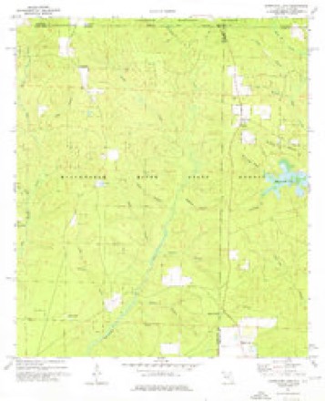
12 topographic sheets cover this place, the earliest surveyed in 1948 and the latest in 1978. It stands in the Baker census division. It lies in ZIP code area 32531. The Survey maps it on the Hurricane Lake quadrangle.
Then and now
1948 to 1978The same ground, surveyed 30 years apart. Drag the handle to wipe between them. Both sheets are United States Geological Survey originals; neither has been altered.
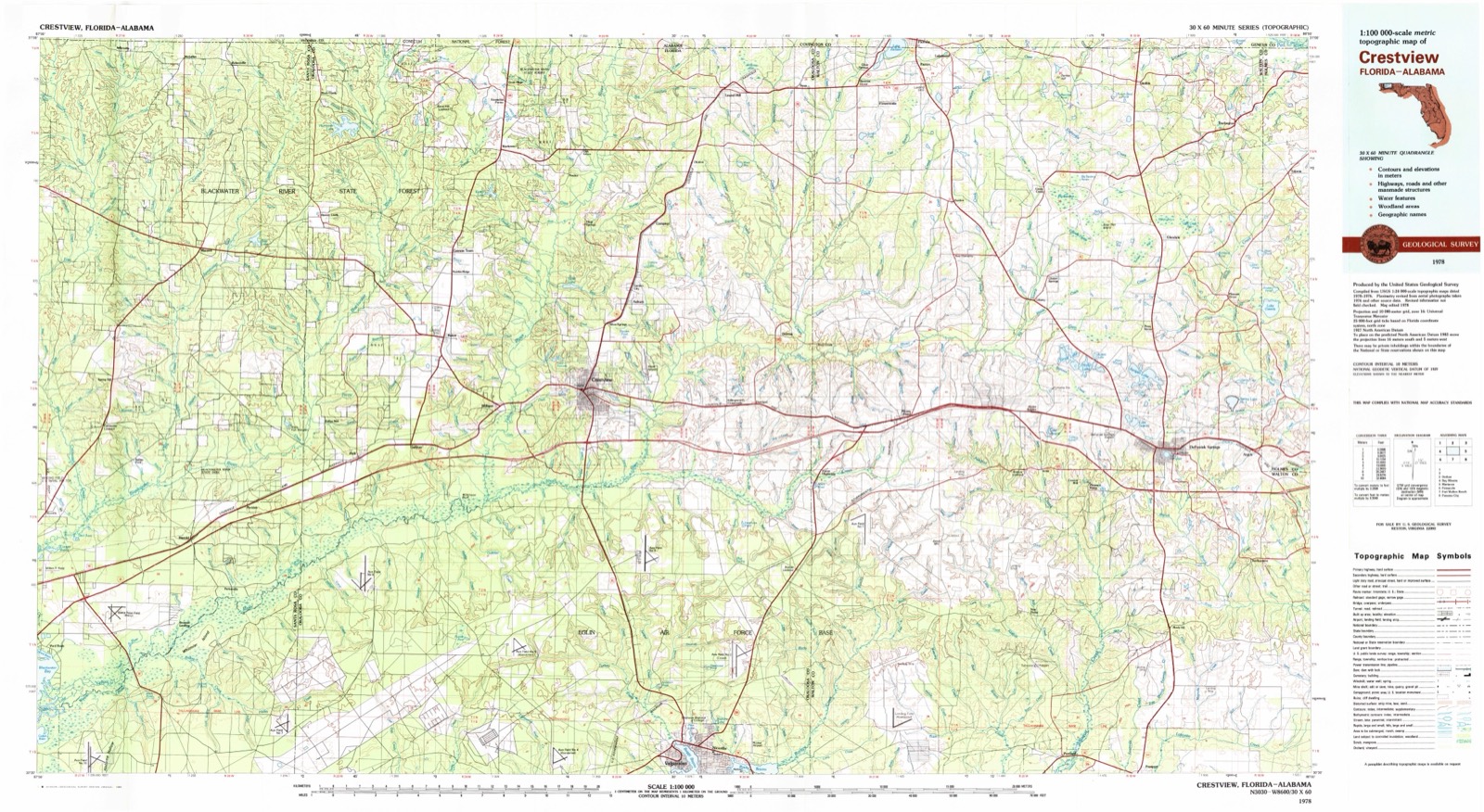
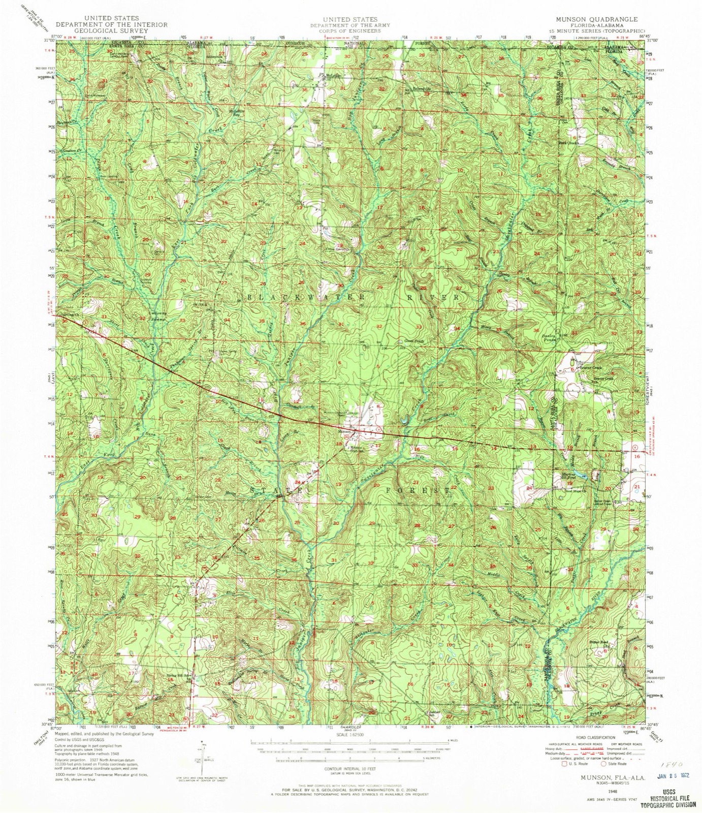
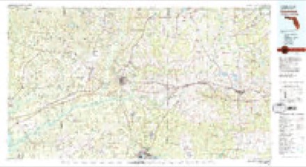
Topographic sheets covering this place
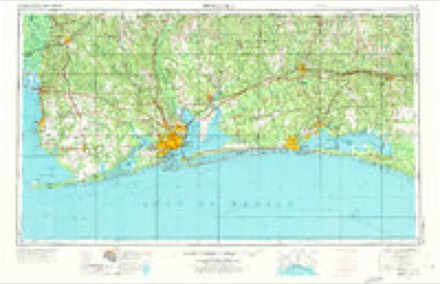
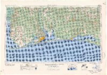
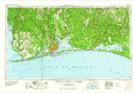
7 surveys from 12 printed sheetsMatched by testing this settlement's coordinate against the published boundary of every sheet in the United States Geological Survey's historical collection. Each opens the scanned sheet at the Survey.
- 1948 USGS Munson quadrangle1:62500, 2 printings
- 1950 USGS Munson quadrangle1:62500, 2 printings
- 1957 USGS Pensacola quadrangle1:250000, 3 printings
- 1959 USGS Pensacola quadrangle1:250000
- 1960 USGS Pensacola quadrangle1:250000
- 1973 USGS Hurricane Lake quadrangle1:24000
- 1978 USGS Crestview quadrangle1:100000, 2 printings
Fires near this place
157 since 1992Regional context, not property-specific evidence. The federal wildfire occurrence database lists 157 fires within 5 miles of Beaver Creek between 1992 and 2020, burning about 2,795 acres in total. 12 started naturally. 47 were recorded as arson. Distance is straight-line from the map coordinates, so a fire counted here may appear on a neighbouring settlement's page as well.
| Reported cause | Fires |
|---|---|
| Arson/incendiarism | 47 |
| Missing data/not specified/undetermined | 30 |
| Equipment and vehicle use | 23 |
| Railroad operations and maintenance | 17 |
| Debris and open burning | 15 |
| Natural | 12 |
| Recreation and ceremony | 4 |
| Smoking | 3 |
| Power generation/transmission/distribution | 3 |
| Other causes | 2 |
| Misuse of fire by a minor | 1 |
The most recent of them, most recent first, with the day each was reported and the service that recorded it.
| Date | Cause | Size | Reported by | Name on the report |
|---|---|---|---|---|
| 23 September 2018 | Missing data/not specified/undetermined | under an acre | Florida Forest Service | KRUL LAKE PINESTRAW (57) |
| 22 September 1997 | Missing data/not specified/undetermined | 3.0 acres | Florida Forest Service | not named |
| 21 September 1997 | Equipment and vehicle use | 7.0 acres | Florida Forest Service | not named |
| 20 September 2010 | Arson/incendiarism | 4.0 acres | Florida Forest Service | 46 - KENNEDY BRIDGE RD FIRE - 0836 |
| 18 September 2006 | Power generation/transmission/distribution | under an acre | Florida Forest Service | JOHNNIE MC GOEY FIRE-1635 |
| 16 September 1999 | Railroad operations and maintenance | under an acre | Florida Forest Service | not named |
| 12 September 2011 | Arson/incendiarism | under an acre | Florida Forest Service | JOHNNIE MCGOEY (57) |
| 9 August 2007 | Natural | 204 acres | Florida Forest Service | 57 - SMOKEY'S BIRTHDAY FIRE |
Settlements close enough to share some of these fires:
Storms near this place
1 since 2024Regional context, not property-specific evidence. The National Weather Service names Beaver Creek in 1 storm report in 2024: 1 tornado. No death or injury is recorded in these reports. Each account below is quoted exactly as the forecast office filed it, from the NOAA Storm Events Database, and each date opens the federal record of that event.
| When | Event | Place named | Harm | What the report says |
|---|---|---|---|---|
| May 2024 | Tornado (EF2) | Beaver Creek | - | After thorough review of available high resolution Planet satellite imagery, it was determined the EF2 tornado that ground survey crew assessed in Munson began much earlier. The tornado began south of Highway 4 to the west of Berrydale where a persistent narrow path of significant tree damage was evident on Planet imagery. This narrow swath continued to be evident in the forest south of Berrydale near Highway 4. Once the tornado passed Highway 87 N it likely intensified significantly as deforestation extent became significant and the tornado turned more to the southeast. After its southeast jog it turned back to the east reaching Highway 4 where ground survey crew initially assessed the tornado. The tornado continued along State Highway 4 about 3 miles west northwest of Munson where pine trees were snapped, and power lines were downed in a convergent pattern. The tornado peaked in intensity at an estimated 115 mph (EF2) over Munson where numerous pine trees were snapped in a convergent pattern in a swath about 450 yards wide. The tornado then took a slight jog to the east-southeast as it essentially paralleled State Highway 4 east of Munson with numerous pine and oak trees snapped on both sides of the road. As the tornado continued east of Munson across the Blackwater River State Forest, it became a broader multivortex with several prominent sub-vortices rotating about the main tornado vortex. Snaps continued into Okaloosa County Florida where the tornado is estimated to have lifted to the northwest of Baker between Highway 4 West and Sherman Kennedy Road. This survey was able to be completed with the assistance of NASA SPoRT, NASAMSFC, NASA CSDA and the NASA Disasters Program providing high resolution Planet satellite imagery. Without the availability of this remote sensing imagery, the true path length, width, and track of this tornado would not have been able to be determined. |
Nearest settlements
The eight closest, with where each one stands in the county. Distances are straight-line, computed from the Geographic Names Information System coordinates.
| Map | Place | Distance | Sheets |
|---|---|---|---|
| Rock Creek | 5.7 miles | 12 | |
| Cannon Town | 5.8 miles | 13 | |
| Nubbin Ridge | 6.2 miles | 13 | |
| Baker | 7.7 miles | 13 | |
| Blackman | 8.1 miles | 14 | |
| Escambia Farms | 9.4 miles | 14 | |
| Kellys Mill | 9.8 miles | 18 | |
| Good Hope | 9.9 miles | 14 |
Provenance
This settlement is recorded in the Geographic Names Information System as feature 305261. The sheet list is computed by point-in-boundary test against the United States Geological Survey's historical topographic inventory. Both are works of the United States government and carry no copyright under 17 U.S.C. 105.
Wildfire. Short, Karen C. 2022. Spatial wildfire occurrence data for the United States, 1992-2020 [FPA_FOD_20221014]. 6th Edition. Fort Collins, CO: Forest Service Research Data Archive. https://doi.org/10.2737/RDS-2013-0009.6 Collected with United States Government funding and usable without additional permissions or fees.
Storms. NOAA National Centers for Environmental Information, Storm Events Database https://www.ncei.noaa.gov/stormevents/ A work of the United States government, no copyright under 17 U.S.C. 105. Narratives are quoted verbatim from the National Weather Service report and are not edited or summarised.