 Block
BlockFrom the record
5 National Register listings published here.
Sources: the National Register database, National Park Service
112 topographic sheets cover 44 settlements here, and 5 properties are on the National Register of Historic Places.
5 National Register listings published here.
Sources: the National Register database, National Park Service
Every property in this county listed on the National Register of Historic Places, with the year it was listed and the federal nomination document.
| Photograph | Property | Type | Listed | Reference |
|---|---|---|---|---|
 | Camp Pinchot Historic District | district | 1998 | 98001255 |
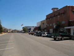 | Crestview Commercial Historic District | district | 2006 | 06000620 |
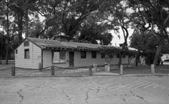 | Eglin Field Historic District | district | 1998 | 98001254 |
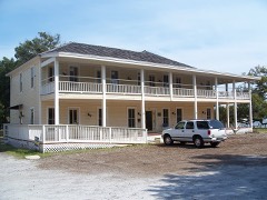 | Gulfview Hotel Historic District | district | 1992 | 92001402 |
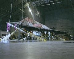 | McKinley Climatic Laboratory | building | 1997 | 97001145 |
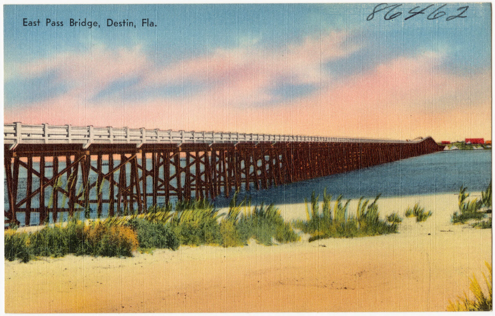
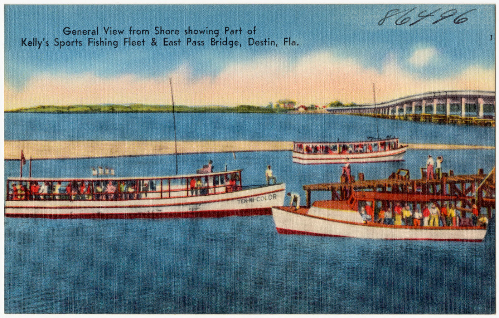
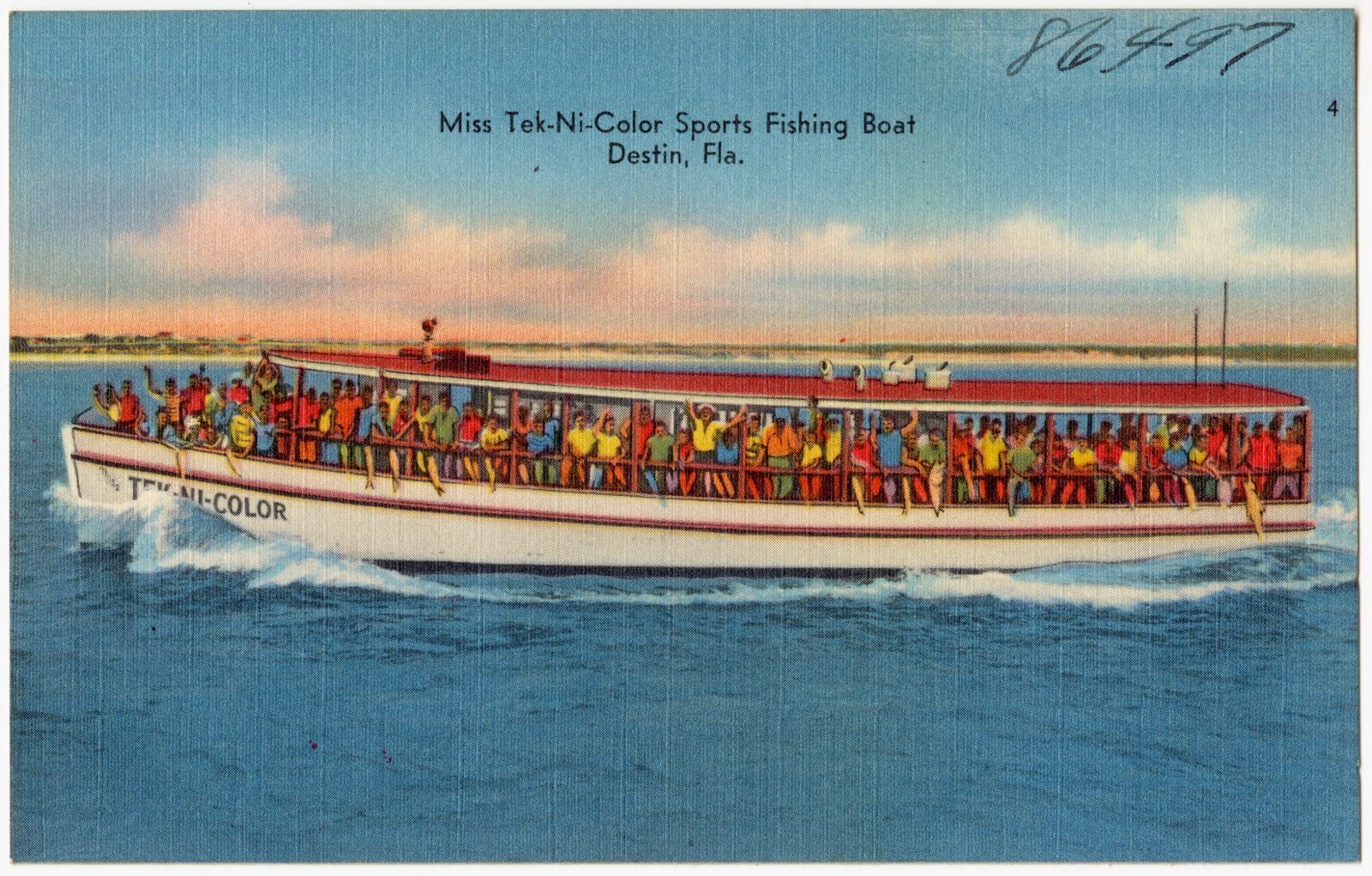
Selected from the Digital Public Library of America's 4 image records catalogued for this county. Every one shown here carries a public-domain status or a licence that permits reuse on a site that carries advertising; non-commercial, share-alike and restricted images are excluded. The selection is spread across the county's towns (at most eight per town), so no single institution's bulk upload crowds out the rest. Each opens the holding library's record, and the complete set at the Digital Public Library of America is one click away.
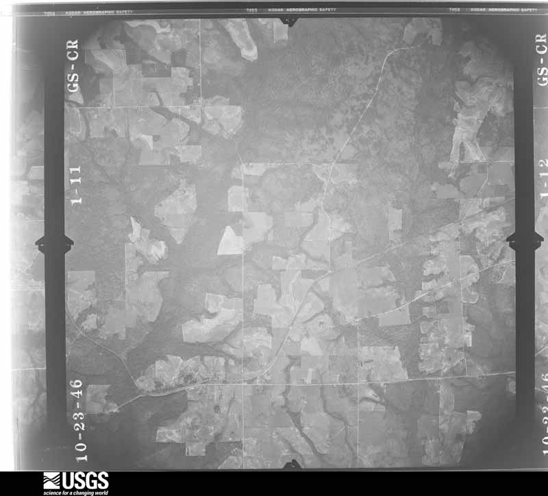
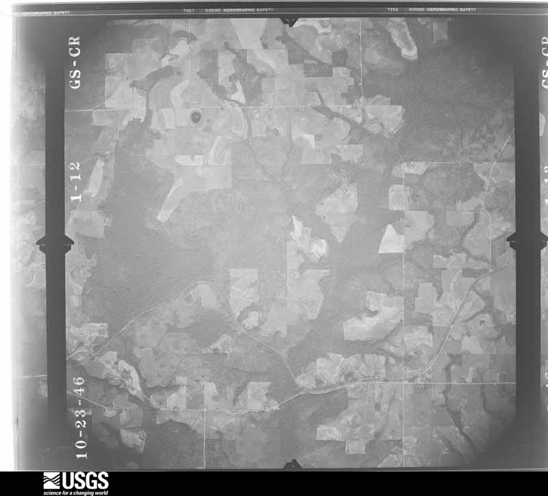
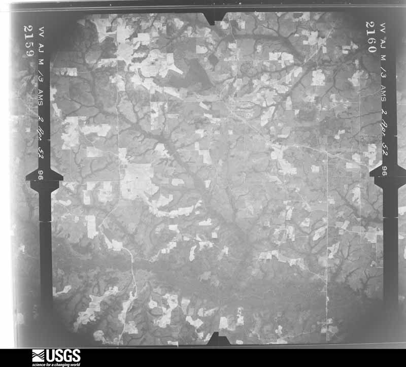
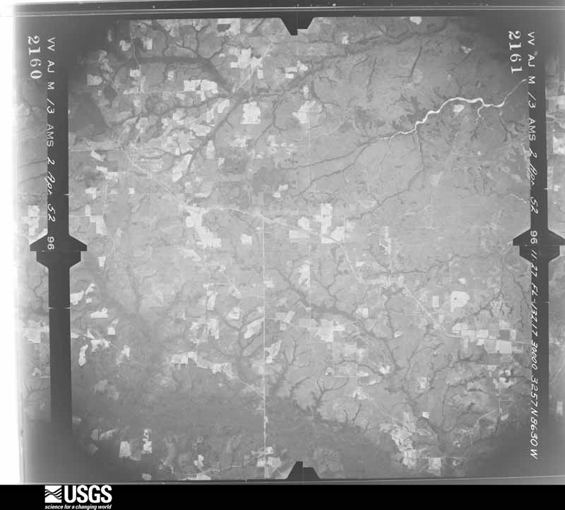
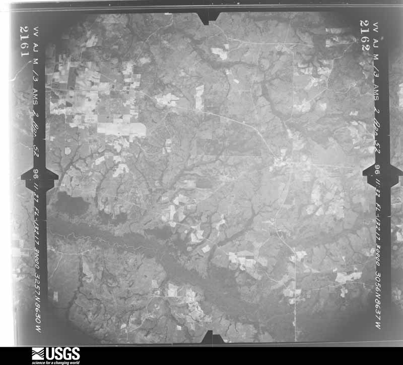
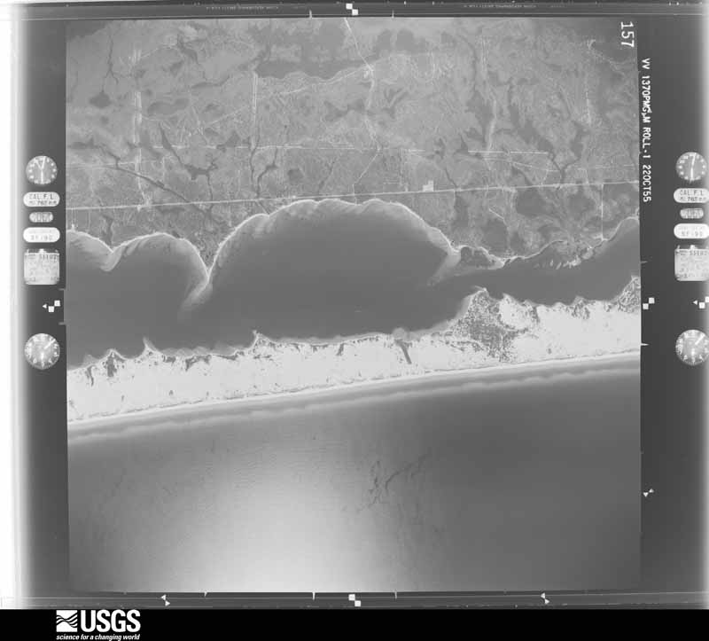
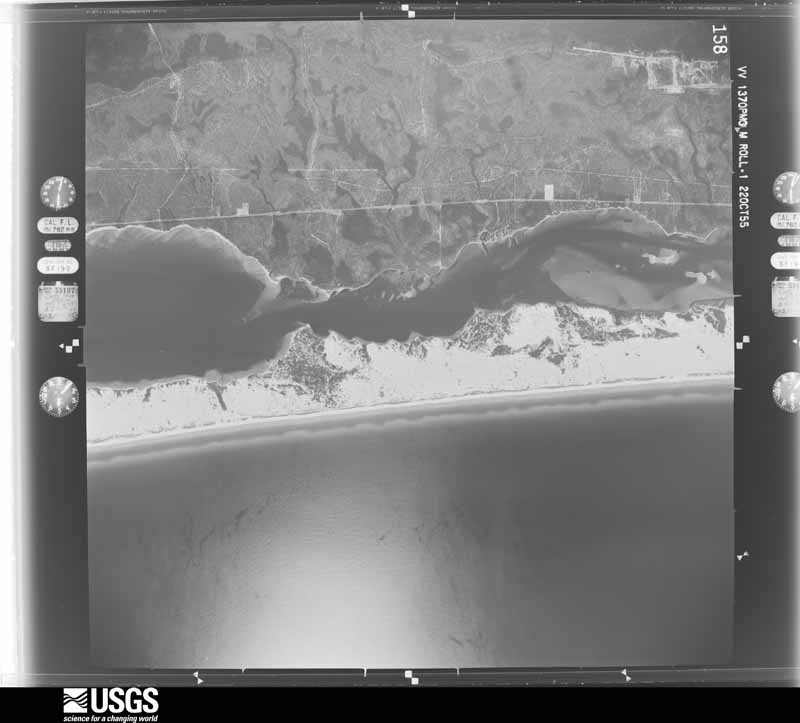
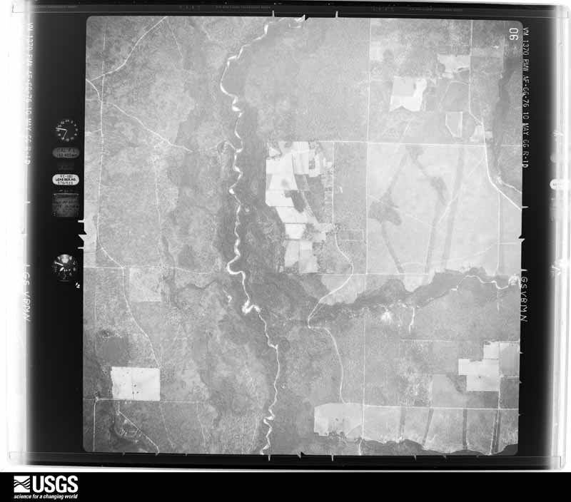
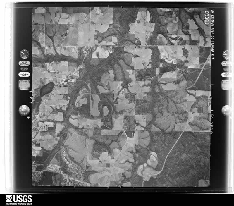
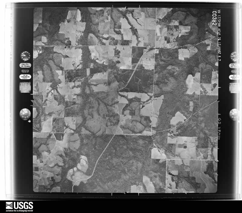
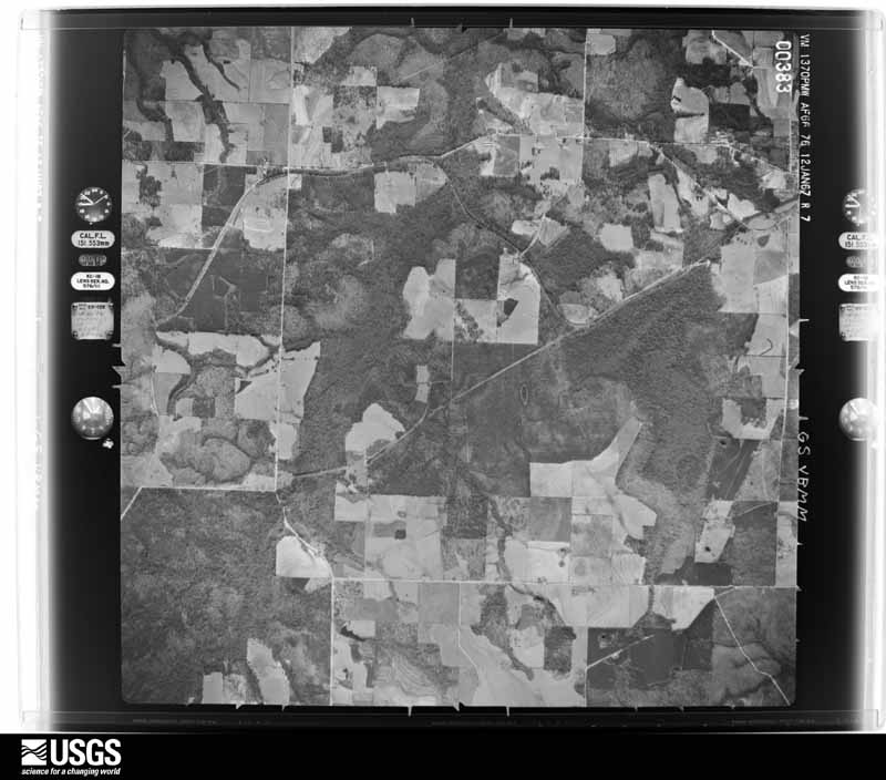
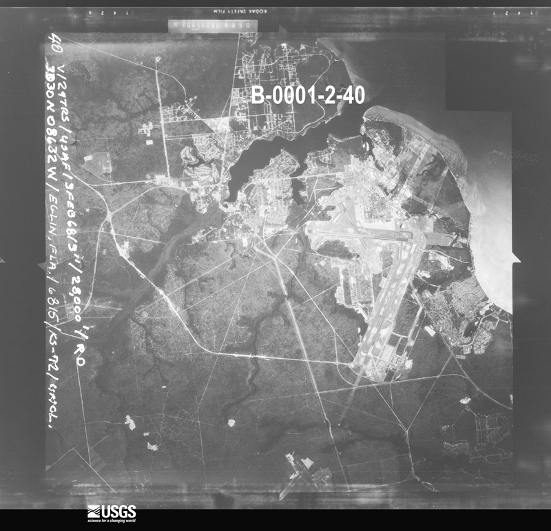
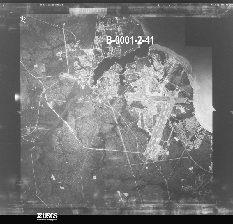
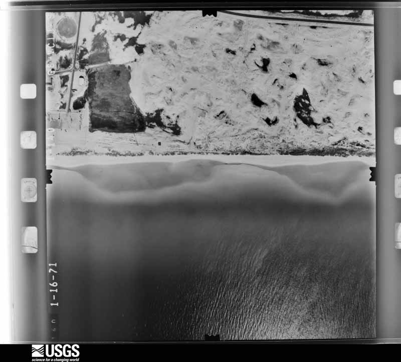
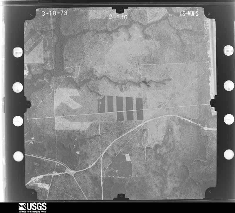
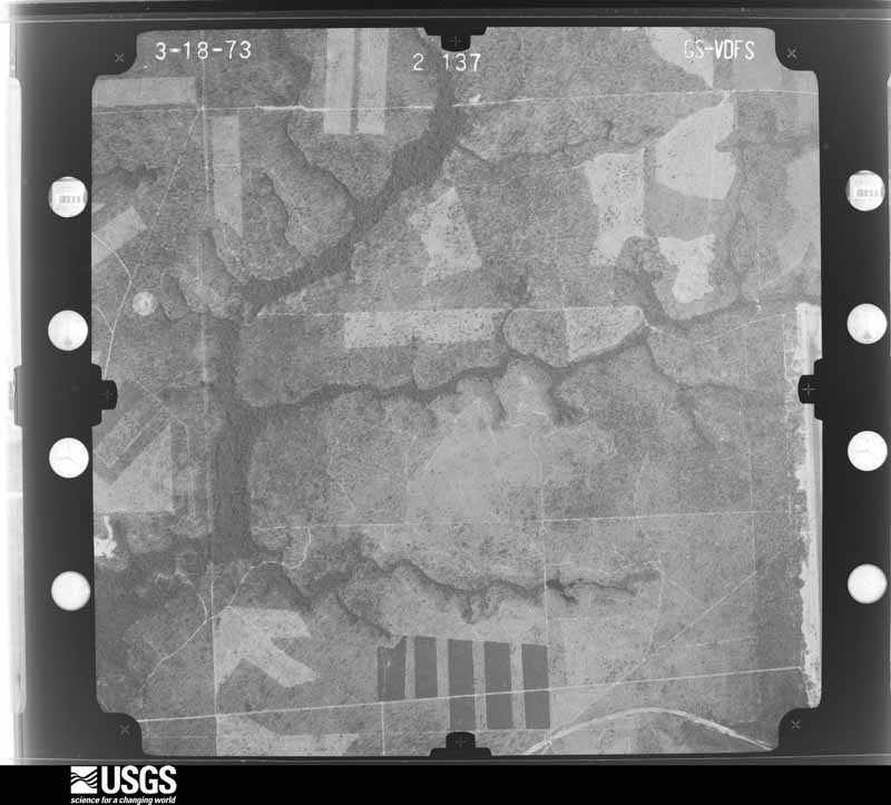
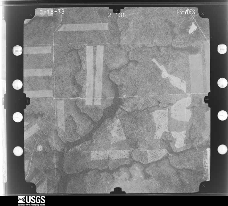
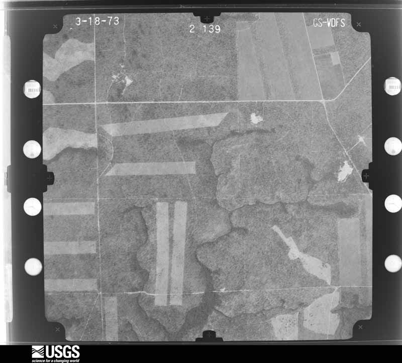
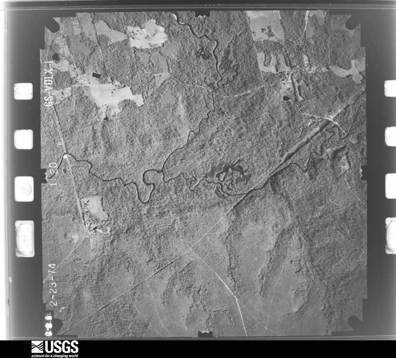
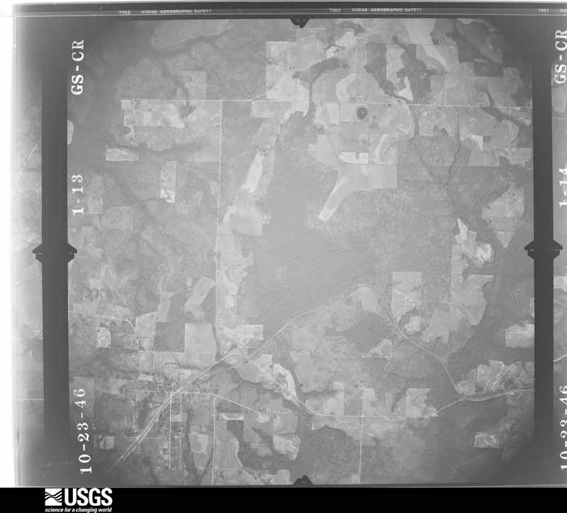
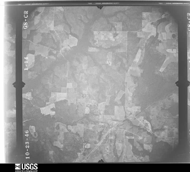
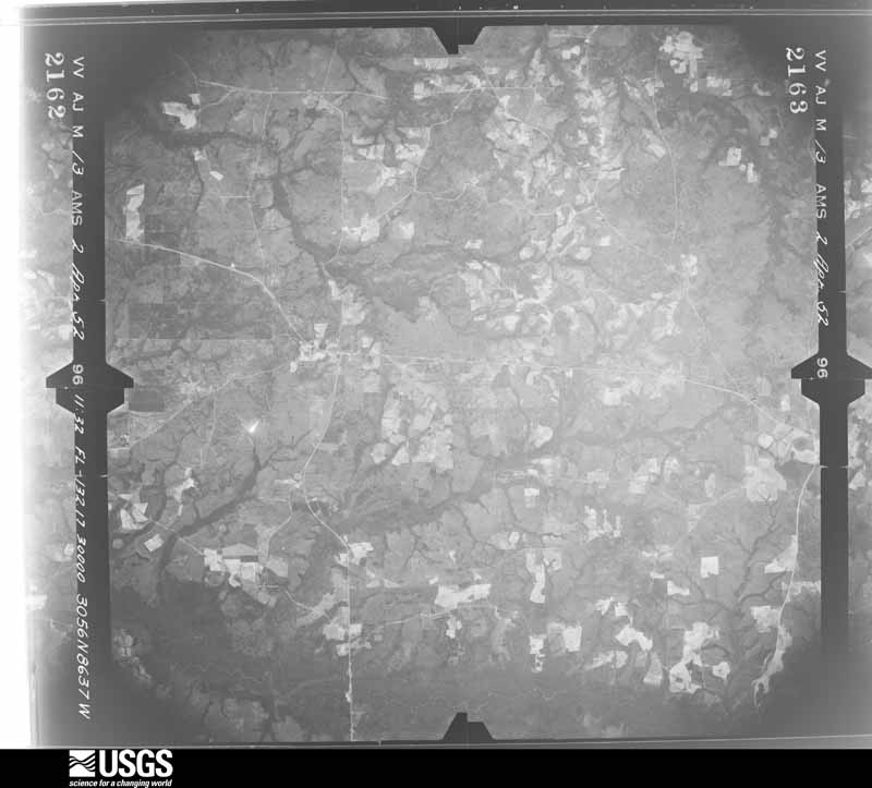
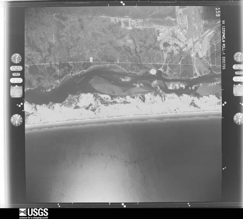
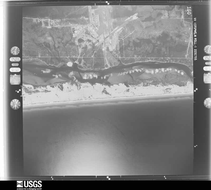
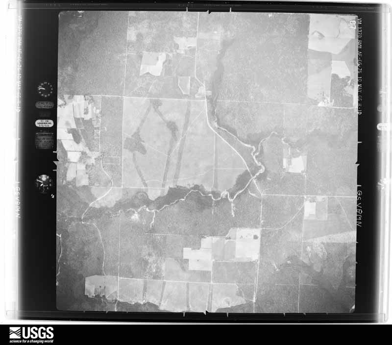
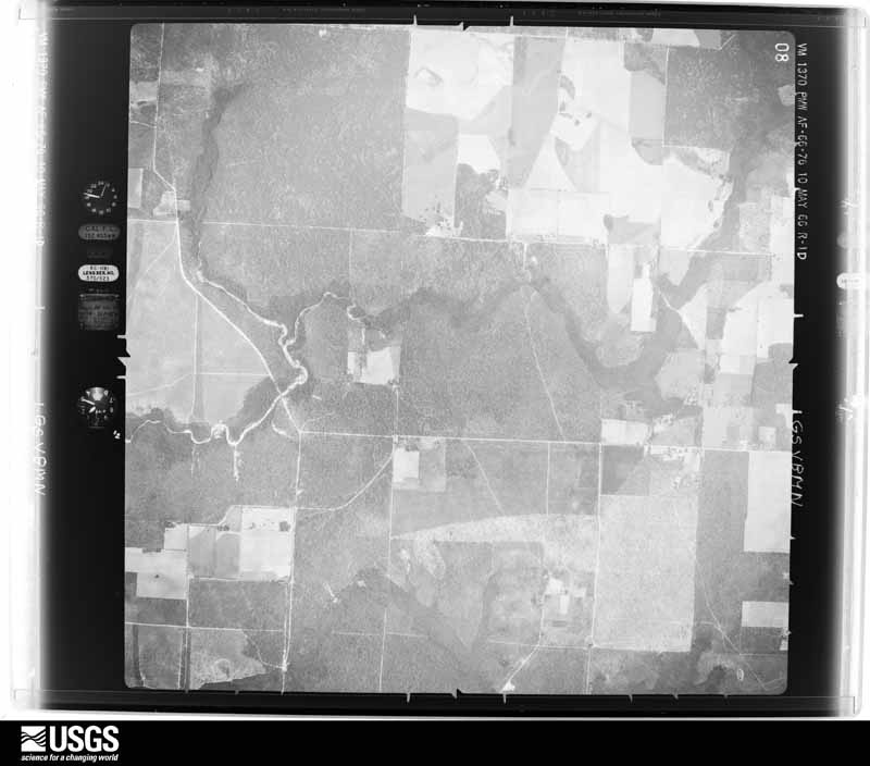
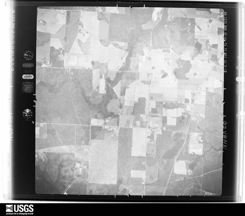
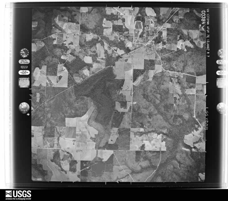
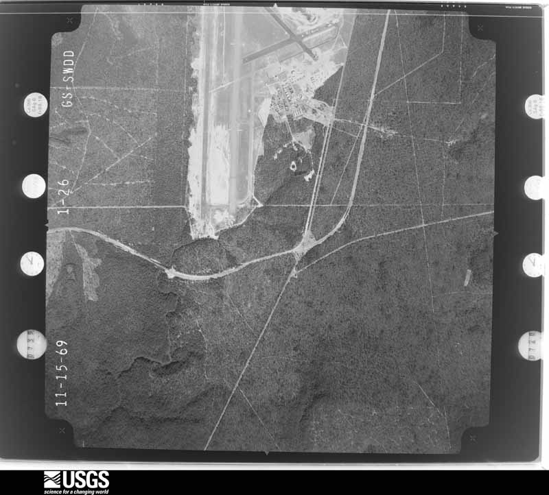
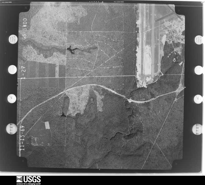
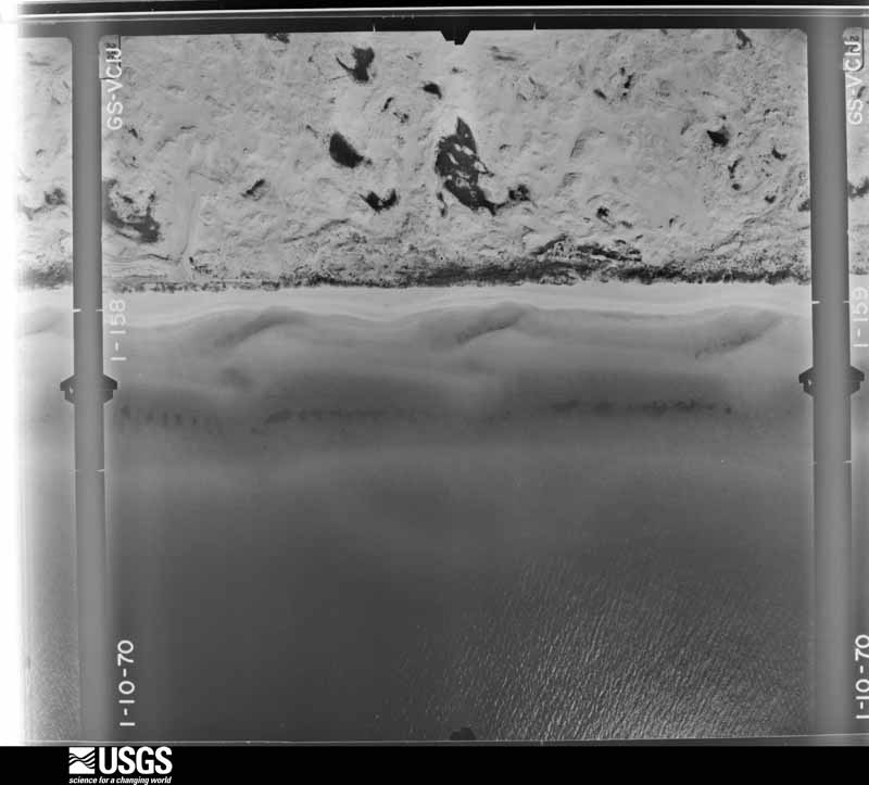
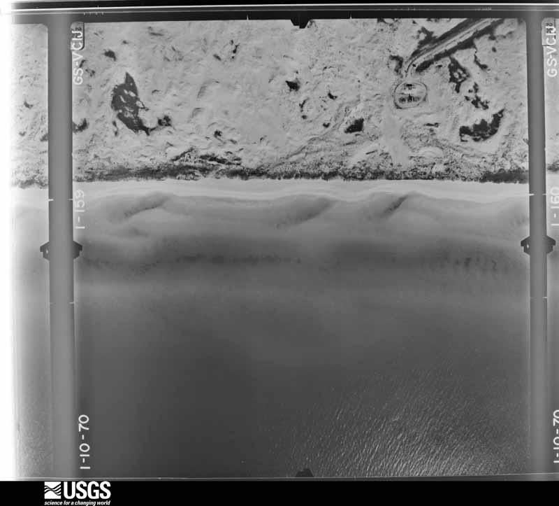
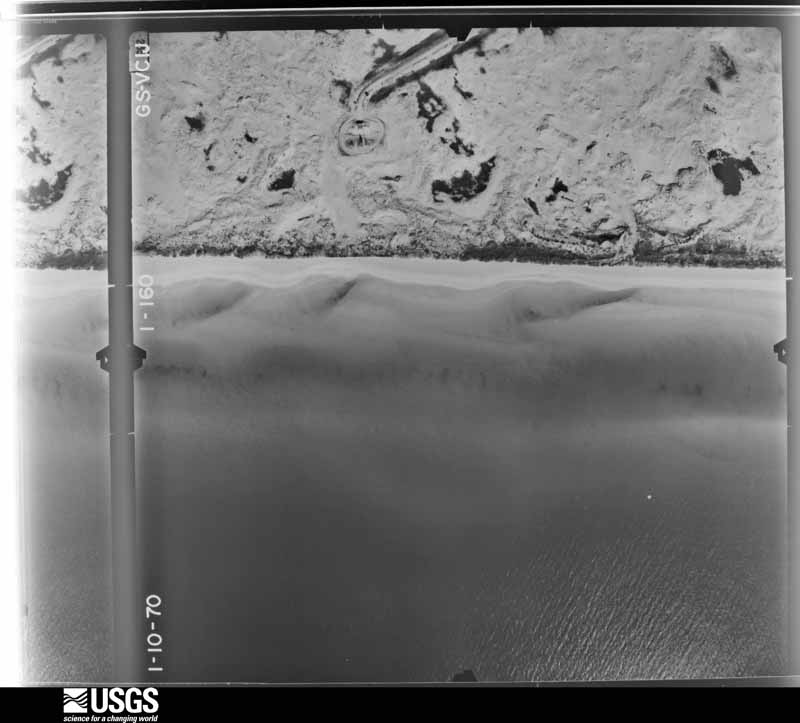
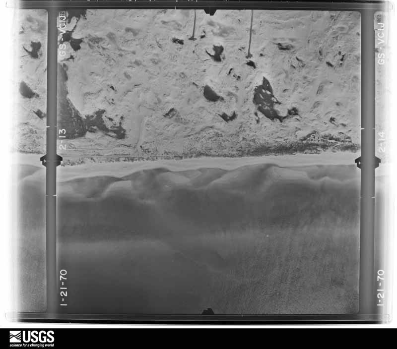
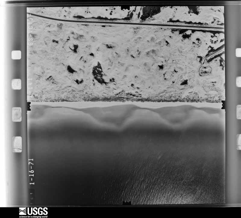
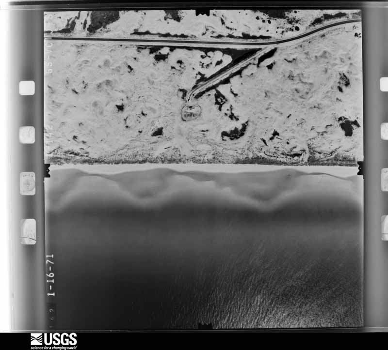
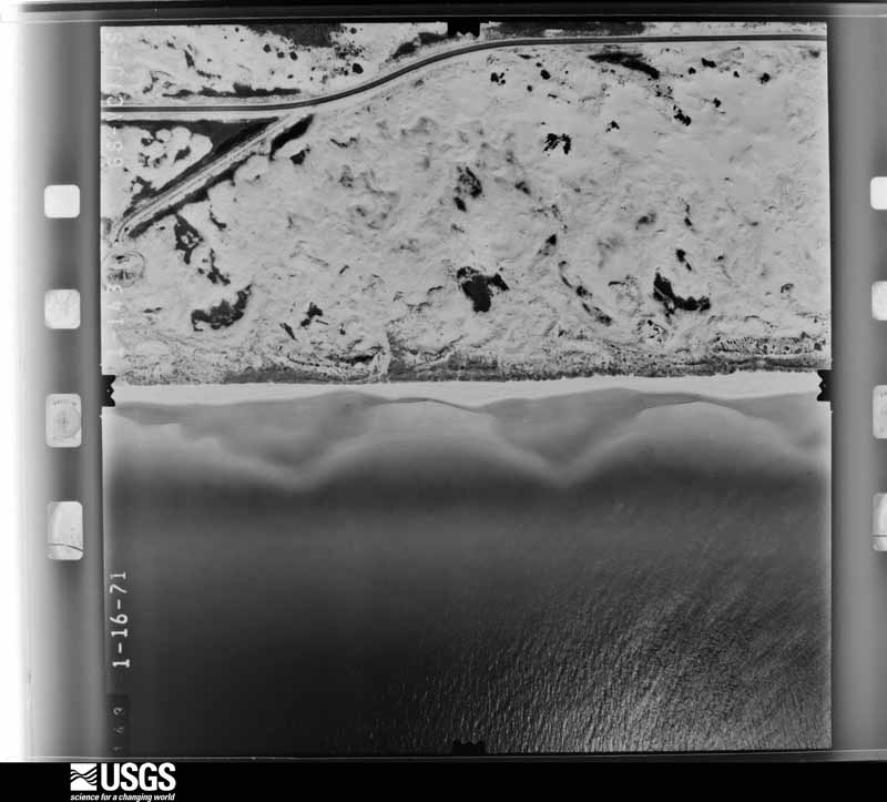
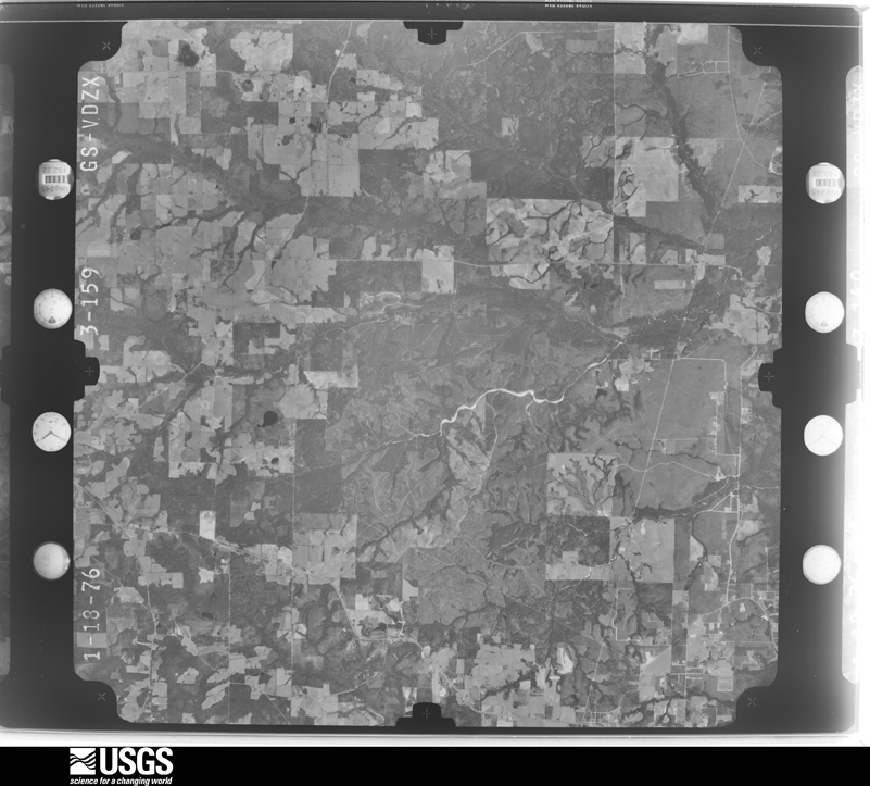
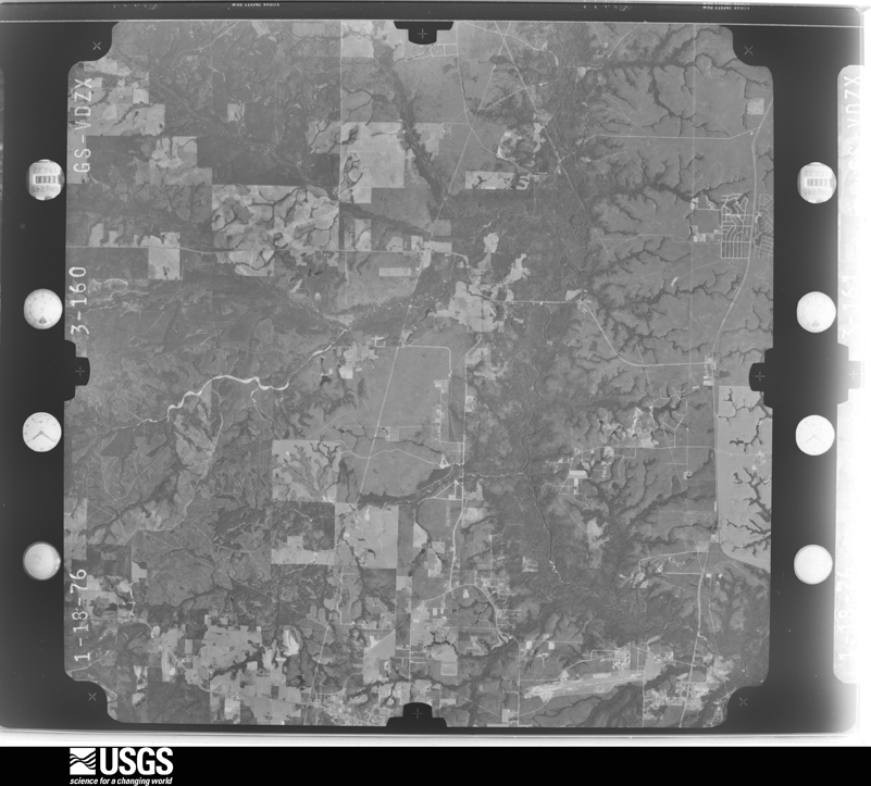
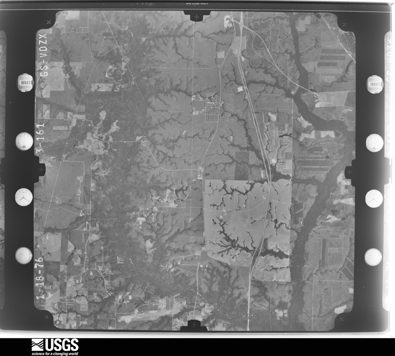
Flown by the U.S. Geological Survey between 1937 and 1989, the Aerial Photo Single Frames collection is the definitive mid-century view of the land: fields, roads and rivers as the camera saw them. The Survey holds 2,290 frames inside the rectangle that bounds this county; the 48 frames below were taken over the county itself, chosen across the decades of flights (at most four a year from that rectangle), so one flight cannot crowd out the rest. The full set is free to browse and download at EarthExplorer under the dataset Aerial Photo Single Frames.
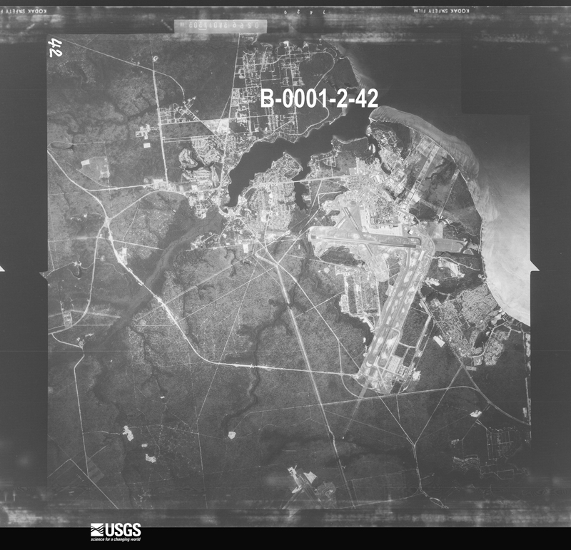
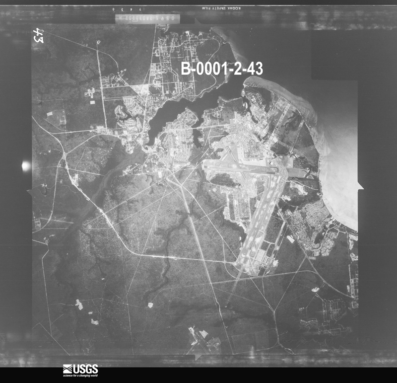
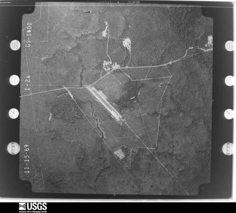
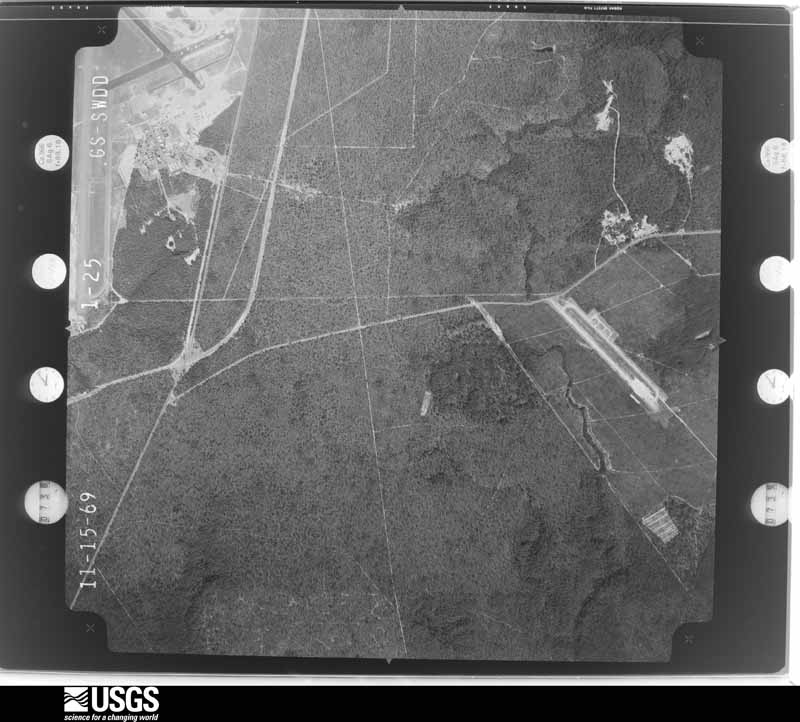
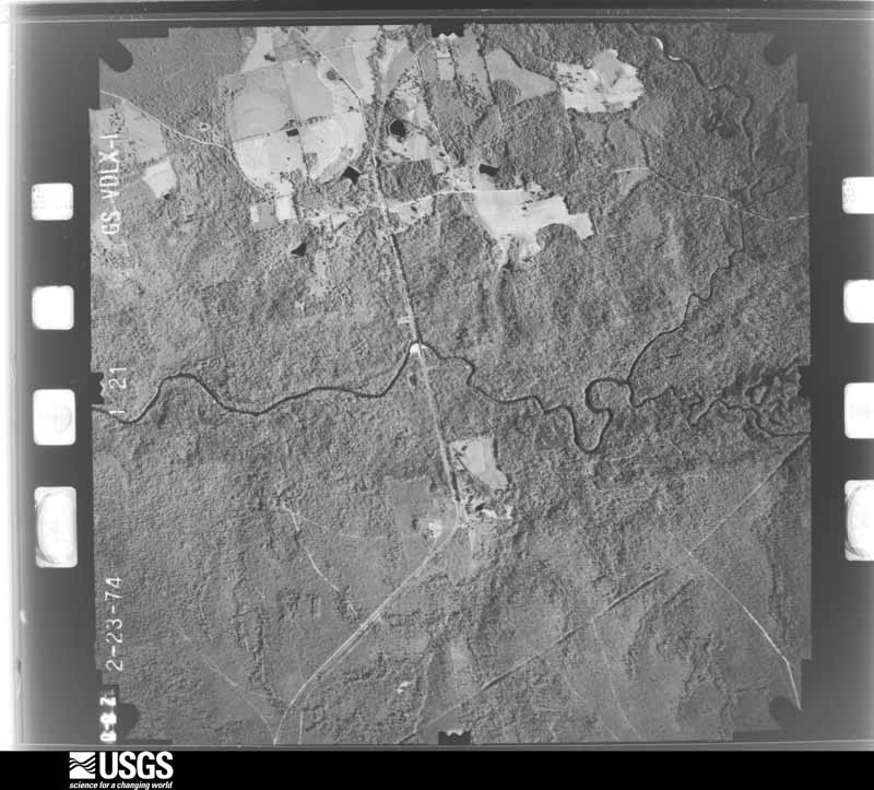
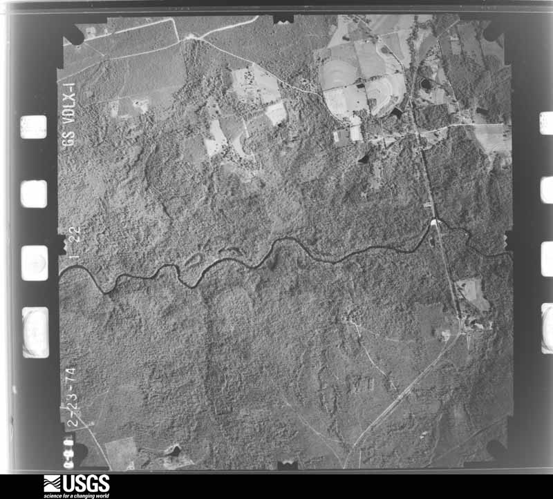
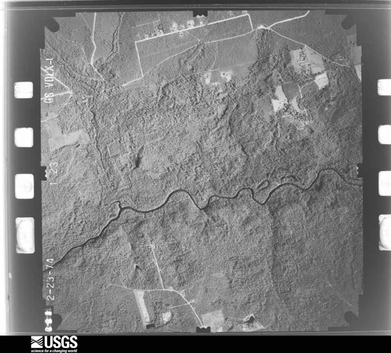
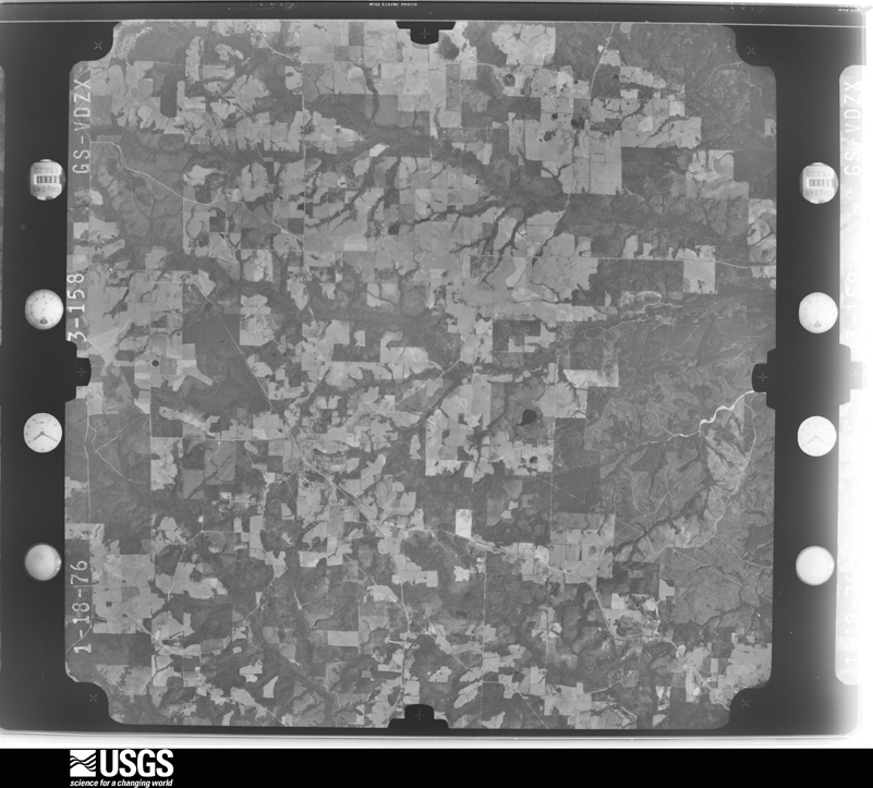
The thermometers that kept this county's weather, and the gages that measured the flow of its streams, as the federal records hold them. The extremes below are measured values from those records, not estimates.
Who lived here in 1950, one enumeration district at a time, as the Census Bureau described each district. Each row opens its official National Archives result, with Population Schedules and ED Maps available there.
Every wildfire the federal occurrence database records inside this county: 1,140 of them, burning about 27,226 acres. 48 started naturally and 97 were recorded as arson. Each settlement page carries the fires within five miles of it.
| Reported cause | Fires |
|---|---|
| Debris and open burning | 246 |
| Railroad operations and maintenance | 243 |
| Missing data/not specified/undetermined | 220 |
| Equipment and vehicle use | 117 |
| Arson/incendiarism | 97 |
| Misuse of fire by a minor | 74 |
| Natural | 48 |
| Smoking | 47 |
| Recreation and ceremony | 19 |
| Power generation/transmission/distribution | 17 |
| Other causes | 10 |
| Fireworks | 2 |
The five largest, by the area the report gives. None of them was recorded as arson.
| Date | Cause | Size | Reported by | Name on the report |
|---|---|---|---|---|
| 28 May 2012 | Missing data/not specified/undetermined | 2,765 acres | Eglin Air Force Base | RUNWAY |
| 12 May 2001 | Missing data/not specified/undetermined | 1,691 acres | Eglin Air Force Base | A-78 WILDFIRE |
| 8 February 2016 | Missing data/not specified/undetermined | 1,380 acres | Eglin Air Force Base | THUNDERBOLT |
| 26 June 2016 | Natural | 1,200 acres | Eglin Air Force Base | JUPITER |
| 4 May 2018 | Missing data/not specified/undetermined | 1,100 acres | Eglin Air Force Base | STORM TROOPER WF |
| 9 June 2002 | Natural | 1,100 acres | Eglin Air Force Base | EGLIN COMPLEX |
| 21 November 2017 | Missing data/not specified/undetermined | 1,050 acres | Eglin Air Force Base | HIDDEN |
| 10 April 2016 | Missing data/not specified/undetermined | 1,038 acres | Eglin Air Force Base | BLACKOUT |
Every settlement page carries the fires within five miles of it - see the settlement index below.
The NOAA Storm Events Database holds 579 reports for this county, causing 14 deaths, 186 injuries and about $54,959,505 in recorded property damage. Each settlement page carries the reports that name it.
| Kind of event | Reports |
|---|---|
| Thunderstorm Wind | 276 |
| Tornado | 100 |
| Hail | 66 |
| Flash Flood | 65 |
| Lightning | 46 |
| Waterspout | 9 |
| Funnel Cloud | 7 |
| Rip Current | 6 |
| Flood | 3 |
| Coastal Flood | 1 |
The most serious of them, by death, then injury, then recorded damage. The accounts are quoted exactly as the forecast office filed them.
| When | Event | Place named | Harm | What the report says |
|---|---|---|---|---|
| December 1967 | Tornado (F2) | not stated | 1 killed, 50 hurt, $2,500,000 | no account filed |
| January 1962 | Tornado (F2) | not stated | 1 killed, 30 hurt, $2,500,000 | no account filed |
| June 2003 | Rip Current | Destin | 1 killed, 10 hurt | A thirty one year old female from Indiana jumped into the gulf to rescue her son who was having trouble swimming in the rough surf. Both of them were pulled out of the rough water and transported to a local hospital. She was pronounced dead and her son was treated and released. The drowning occurred around James Lee Park where red flags warning of dangerous surf were flying. The drownings in Okaloosa county were part of a rash of drownings that occurred along the beaches of Walton and Okaloosa counties on this date. Six people drowned in Walton county that day. The rough water was the result of swells of four to six feet moving ashore. Ten people along the Okaloosa county beaches had to be transported to local hospitals where they were treated and released. Many others had to be pulled from the rough surf where they were treated on the beach . Officials were flying and driving along the beaches to warn people of the dangerous surf. People would exit the water and then go back in after the officials had left. |
| April 1996 | Lightning | (Hrt)Mary Esther | 1 killed, 10 hurt | no account filed |
| May 1973 | Tornado (F2) | not stated | 1 killed, 4 hurt, $25,000 | no account filed |
| October 1995 | Tornado (F2) | Crestview | 1 killed, 3 hurt, $300,000 | A tornado touched down near Interstate 10 east of Crestview. The tornado then moved northwest across Okaloosa Lane and then across U.S. Highway 90 before dissipating near Highway 85. The tornado destroyed two homes and a church and severely damaged the late Bob Sikes Homestead and the Crestview High School's gymnasium. The two homes that were destroyed were along Okaloosa Lane. One home was on blocks on a concrete foundation, the home was completely destroyed and an elderly female who lived there was killed. The other home had the roof taken off and most of the insides of the home were destroyed. Three people were injured in this home and were saved when the wind blew them to the floor. The tornado was on the ground for almost two miles. F76PH |
| March 1999 | Lightning | Baker | 1 killed, 1 hurt | A fatal lightning strike occurred while 2 men were on a boat on Hurricane Lake 10 miles Northwest of Baker or 6 miles North of Highway 4 off of Beaver Creek Road. One of the occupants was killed while the other was injured. Upon the approach of a storm, the occupants moved the boat to beneath some trees to escape the rain and were struck. |
| July 2017 | Lightning | Baker | 1 killed | A lightning strike killed a camper at the Wilderness Landing campground along the Blackwater River. |
| August 2016 | Lightning | Ft Walton Beach | 1 killed | Lightning struck an umbrella attendant at the Island Princess Condominiums causing his death. |
| March 2009 | Flash Flood | Dorcas | 1 killed | A 75 year old man died when he drove into a flooded roadway and drowned on Highway 393 at Pond Creek Bridge. |
| June 2003 | Rip Current | Destin | 1 killed | A fifty seven year old Missouri man was swimming in rough surf near James Lee Park when he started having trouble staying afloat. He was pulled out of the water but later died at a local hospital. Red flags were flying at the time of the drowning. |
| October 2003 | Lightning | Destin | 1 killed | A 49 year old male, from the local area, was surfing in the waters of the Gulf of Mexico in front of the Eglin Community Beach Club near Destin when he was struck by a bolt of lightning. Other surfers pulled the man out of the water, and emergency personnel transported him to a local hospital, where he later died. Thunderstorms had moved through the area earlier in the morning. The overcast sky, after most of the storms had moved out of the area, produced the isolated, but deadly, lightning bolt. |
| June 2001 | Rip Current | Destin | 1 killed | A forty-eight year old male from New Mexico drowned in rough surf near Henderson State Park. The man was swimming with his son when they were caught in a strong rip current. Bystanders were able to pull the two out of the water. The boy was unharmed but the father was unconscious and could not be revived. Tropical Storm Allison had moved North out of the western Gulf of Mexico into eastern Texas the day before. At the same time, strong High pressure was centered off the southeast Atlantic coast. The gradient between the low pressure to the west and the high pressure to the east, produced a persistent strong southerly wind flow over the coastal waters of the western Florida panhandle. This, combined with larger than normal swells which were propagated off Tropical Storm Allison, produced deadly rip currents along the Florida Panhandle beaches. The National Weather Service in Mobile had forecasted a moderate threat of rip tides for the day, and red flags were flying along the beaches to alert swimmers to the potential rip current threat. The rip current situation became so bad during the afternoon, that sirens, normally used as storm warnings, were activated at Pensacola Beach. |
| April 1999 | Rip Current | Destin | 1 killed | A male visiting Destin from out of state was caught in a strong rip current and drowned. He was brought to shore and died before reaching a local hospital. |
| August 2015 | Lightning | Eglin Vlg | 20 hurt | Lightning struck near a battalion of Army Ranger Trainees on Eglin Air Force Base in southern Okaloosa County. Four instructors and 40 trainees were evaluated, and 20 (3 instructors and 17 students) were hospitalized overnight. |
| January 2006 | Tornado (F0) | Baker | 13 hurt, $2,000,000 | A weak tornado touched down along State Highway 4 in Baker near the Post Office. The tornado tracked northeast and tore part of the roof off the Baker School. The winds from the storm funneled into part of the school and peeled sections of the roof off. Kids inside quickly got underneath their desks. Water from the rain fell into the classrooms and caused part of the ceiling to collapse. Thirteen kids suffered minor injuries. At least four classrooms at the school were damaged. The weak tornado continued tracking northeast and damaged several more homes before lifting back into the clouds near Old River Road. |
| January 1975 | Tornado (F1) | not stated | 7 hurt, $250,000 | no account filed |
| August 2006 | Lightning | Valparaiso | 6 hurt | A group of recruits were attending Army Ranger Camp and were laying on the ground as a thunderstorm approached them. Evidently, lightning hit a nearby tree and ran through the root system of the tree. Six of the rangers were injured by the strike and were transported to a local hospital and later released. None of them suffered any serious injuries. |
| December 1964 | Tornado (F3) | not stated | 4 hurt, $2,500,000 | no account filed |
| February 2010 | Lightning | Niceville | 4 hurt | no account filed |
| October 1973 | Tornado (F0) | not stated | 3 hurt, $250,000 | no account filed |
| March 1972 | Tornado (F1) | not stated | 3 hurt, $2,500 | no account filed |
| April 2018 | Tornado (EF1) | Ocean City | 2 hurt, $500,000 | The tornado moved ashore on Okaloosa Island and produced signification damage to a home on Sailfish Dr. The tornado then moved across Santa Rosa sound and into Fort Walton Beach, producing tree damage and broken windows at St Mary Catholic Church and school. The tornado continued northeast across Robinwood Drive and damaged the roofs of several units in an apartment complex, before finally weakening and lifting just north of Jet Drive. Two minor injuries were reported. |
| March 1962 | Tornado (F1) | not stated | 2 hurt, $25,000 | no account filed |
| June 2004 | Lightning | Crestview | 2 hurt | Five military personnel were outside training when lightning hit near them. Two of the personnel were transported to the hospital and later released. Three of the five refused any treatment. |
| March 2003 | Rip Current | Destin | 2 hurt | Several people had to be rescued from the waters between Fort Walton Beach to east of Destin because of high surf and rip currents. Nine people had to be pulled from the water. Two required medical treatment and were transported to a local hospital. They were kept for several hours and later released. The rescues were not confined to one spot but were scattered at different locations along the beach. |
| October 1985 | Tornado (F1) | not stated | 1 hurt, $2,500,000 | no account filed |
| March 1993 | Thunderstorm Wind | Ft. Walton Beach | 1 hurt, $50,000 | A man was struck by lightning in Ft. Walton Beach. He was treated and released. Strong thunderstorm winds destroyed a car, damaged another, and peeled the roof off one apartment. |
| January 1998 | Tornado (F0) | Destin | 1 hurt, $7,000 | A waterspout moved onshore on Okaloosa Island and damaged a home under construction. The waterspout/tornado quickly dissipated as it moved onshore. The tornado track on the island was less than a block long. A male working on the house was injured and was briefly hospitalised. |
| November 1961 | Tornado | not stated | 1 hurt, $250 | no account filed |
| May 2003 | Lightning | Mary Esther | 1 hurt | A 14 year old male was standing next to a swimming pool when lightning struck nearby and injured him. He was taken to a local hospital and kept for observation and released after a couple of hours. |
| June 2003 | Lightning | Destin | 1 hurt | A Georgia man was on a personal watercraft when he was struck by lightning. He was on his way to shore to beat approaching thunderstorms when he was struck. He was transported and treated at the hospital and was released after a couple of hours. |
| February 2000 | Lightning | Shalimar | 1 hurt | Several people were working on a baseball field late at night. A storm was approaching from the west and they were loading up their vehicles to get out of the storm. Lightning struck a fence and stunned seven people with one being taken to the hospital. A dog laying under one of the trucks was killed by the lightning. |
| May 1997 | Lightning | Mary Esther | 1 hurt | Lightning struck near a garden center, injuring a customer at a department store in Mary Esther. The male was taken to a local hospital and kept overnight for observation. He was released the next day. |
| March 2009 | Lightning | Destin | 1 hurt | no account filed |
| July 1996 | Lightning | Eglin Afb | 1 hurt | no account filed |
| May 1989 | Tornado (F2) | not stated | $25,000,000 | no account filed |
| June 1998 | Thunderstorm Wind | Countywide | $4,000,000 | A line of severe thunderstorms moved through the county between 1230 am and 130 am. Trees and power lines were blown down throughout the county. Most of the damage occurred in the south part of the county. Hurlburt field reported a gust of 70 mph and Eglin reported a gust of 59 mph. On Eglin Air Force Base the wind damaged three aircraft. One of the aircraft was picked up and blown across a barrier. This aircraft suffered the most damage. A spokesman estimated wind gusts of 92 mph near where the aircraft were damaged. Some minor structural damage occurred in Valparaiso and Niceville. No injuries were reported. |
| February 2003 | Thunderstorm Wind | Ft Walton Beach | $2,000,000 | A line of severe thunderstorms moved across the coastal portions of the county during the early morning hours. The most intense part of the line of storms was along the coast in the vicinity of Okaloosa Island in the Fort Walton Beach area. Very strong straight line winds associated with a "bow echo" along the line storms produced extensive wind damage to the west wing of the Blue Horizon Beach Resort . The strong blast of wind tore the roof off of the three story west wing of the condos, and deposited it in the adjacent parking lot and onto Santa Rosa Blvd., the highway located just north of the condominium complex. Some of the roof debris also hit and damaged the Sugar Isle Motel, which is located next door to the Blue Horizon. About 60 rooms of the Blue Horizon's west wing received major structural and water damage, and significant damage also occurred to automobiles in the adjacent parking lot, which were hit by flying debris. In addition, power lines and power polls along Santa Rosa Blvd were also downed by debris and high winds. |
| April 2014 | Flash Flood | Florosa | $1,460,000 | Eight to foruteen inches of rain fell across Okaloosa County during the evening of April 29th and the early morning of April 30th. The rain resulted in widespread flash flooding across the county. 737 homes were damaged by flood waters. Numerous roads were impassable during the event, with several damaged or compromised by the fast moving flood waters. |
| July 2009 | Thunderstorm Wind | Destin Ft Walton Arp | $1,000,000 | A thunderstorm wind gust of 70 mph destroyed two general aviation aircraft and damaged 10 others at the Destin Airport. Trees were also downed in the area. |
| March 1998 | Flash Flood | Countywide | $1,000,000 | no account filed |
| December 2002 | Tornado (F1) | Florosa | $600,000 | A tornado moved onshore near Florosa and caused damage as it moved northeast through a small subdivision. Two older manufactured homes were destroyed near the water as the tornado moved inland. The tornado moved across U. S. Highway 98 before dissipating. Several other homes suffered structural damage mostly to their roofs and siding. Some vehicles were also damaged by flying debris. No major injuries were reported. |
| April 1993 | Thunderstorm Wind | Fort Walton Beach | $500,000 | High winds caused damage to a metal building at Fort Walton Yacht Club. |
| December 1996 | Tornado (F2) | Seminole | $500,000 | no account filed |
| March 2022 | Tornado (EF1) | Holt | $361,000 | A tornado touched down just west of the intersection of Log Lake|Road and Sundance Way. The tornado damaged the roof of a house|where numerous shingles were removed down to the tar paper. In|addition, a manufactured home adjacent to the house was destroyed.|Numerous trees were snapped and several trees were uprooted. The|tornado proceeded east across Log Lake Road and damaged the roof|of a manufactured home as well as snapped and twisted additional|trees. A couple trees were also uprooted. The tornado continued|along and crossed Sundance Way Cutoff Road where several more|trees were snapped and uprooted. From there, the tornado|progressed northeast and hit a home, ripping off a portion of the|roof to include the decking underneath. This was thrown roughly 50|yards away into the front yard and into trees. Several large|trees were also snapped near the base and twisted. A few more were|uprooted as well. The tornado then lifted just beyond this|property. Overall, the maximum width of the tornado reached 50|yards with a path length of about 1.5 miles. Estimated peak winds were 95 mph. |
| July 2005 | Lightning | Cinco Bayou | $360,000 | A boat that was anchored in the Bayou because of Hurricane Dennis. It was struck by lightning and caught on fire. Firefighters could not get to the boat because it was anchored in the Bayou, and they had to watch it burn. It was totally destroyed. |
| August 2004 | Lightning | Dorcas | $300,000 | Lightning struck the roof at the unoccupied Dorcas volunteer fire station. The strike started a fire and the building was consumed in flames before anyone noticed the fire. The station burned to the ground, and several pieces of equipment also burned up. |
| September 1998 | Tornado (F1) | Shalimar | $300,000 | A tornado first touched down along the bay in Shalimar. The tornado damaged several homes as it moved northwest. Some of the homes had major roof damage. The tornado stayed on the ground for about a mile and lifted back into the cloud near State Highway 85. No one was injured. |
| December 1995 | Thunderstorm Wind | Niceville | $300,000 | An apparent downburst of wind caused minor damage to temporary roofing on the gym and auditorium of Niceville High School. The school had suffered damage from Hurricane Opal and had a temporary roof on it. The wind peeled away the temporary roof and rains damaged the auditorium. The roof damage is an estimate to fix the total damage, although most of the damage occurred with Opal. Four residences near the high school also had some shingles blown from their homes and an automobile had its rear window knocked out by debris. |
| February 2017 | Thunderstorm Wind | Shalimar | $250,000 | A severe thunderstorm moved across Okaloosa Island and Destin, which produced areas of straight line wind damage along and near U.S. Highway 98. Several building were damaged in and around Destin with significant roof damage to a few condos and businesses. An EMS vehicle was damaged on Okaloosa Island with one injury. Numerous trees and power lines were downed. Three gas stations pumps were blown over at a gas station in Destin. There were two wind measurements at Okaloosa Pier and on Choctawhatchee Bay that recorded wind gusts of 87 mph. Several land based stations recorded wind gusts in excess of 60 mph. |
| June 1989 | Tornado (F0) | not stated | $250,000 | no account filed |
| October 1980 | Tornado (F1) | not stated | $250,000 | no account filed |
| March 1975 | Tornado (F1) | not stated | $250,000 | no account filed |
| July 2007 | Lightning | Milligan | $150,000 | Lightning struck a home near Milligan shortly after midnight. The home caught fire and was totally destroyed. The home had just been rebuilt after being damaged by Hurricane Ivan. The residents were able to get out of the burning house and were uninjured. |
| February 2017 | Thunderstorm Wind | Niceville | $100,000 | A severe thunderstorm moved across Niceville and produced a corridor of straight line wind damage from winds of 70-90 mph from near the intersection of Highway 85 and Lewis Street to near Mile Marker 12 on Highway 293. Numerous trees and power lines were downed along the path with some landing on vehicles. Several downed trees caused damage to homes in the area. A church suffered roof damage and some damage to brick facade. |
| September 2015 | Flash Flood | Destin Ft Walton Arp | $100,000 | Significant flooding occurred in the Destin area due to slow moving thunderstorms. Destin Airport recorded a storm total of 12.54 inches. A trained spotter reported several feet of water due to the heavy rain in multiple locations near Destin. Some of the roads impacted include FL Hwy 293, US Highway 98, and around Middle Bay Bridge. Numerous cars were stalled due to the flood waters. The flood waters made it into the garages of a few homes in the Quail Run subdivision on Airport Rd. |
| May 2005 | Lightning | Crestview | $100,000 | Lightning struck a home near Crestview. The strike started a fire and the home was destroyed. |
| June 2007 | Lightning | Shalimar | $60,000 | A home was destroyed when a lightning strike caused a fire. No injuries. |
| April 2005 | Lightning | Crestview | $60,000 | Lightning struck a garage in Crestview. The strike started a fire and the garage and two vehicles parked in it were destroyed. |
The Survey's mineral resources record lists 10 workings inside this county. 2 still produce and 8 are closed or unrecorded. Each settlement page carries the workings within five miles of it.
| Commodity | Workings |
|---|---|
| Sand and Gravel, Construction | 4 |
| Sand | 4 |
| Clay | 2 |
The least common of them first, because a county's hundredth gravel pit says nothing its first ten did not.
| Where | Site | Commodity | Status | Recorded |
|---|---|---|---|---|
| Mallory Jeffers - Jeffers Mine | Clay | Unknown | ||
| Okaloosa Co. Comm. - South Baker Mine | Clay | Unknown | ||
| Aultman Sand & Material - Aultman #1 Mine | Sand | Unknown | ||
| Beal Mine | Sand and Gravel, Construction | Past Producer | ||
| Dorcas Pit | Sand and Gravel, Construction | Producer | ||
| Dot Defuniak Springs - Bill Lundy Mine | Sand | Unknown | ||
| Dot Defuniak Springs - Crestview Mine | Sand | Unknown | ||
| Niceville Mine | Sand and Gravel, Construction | Past Producer | ||
| Okaloosa Asphalt Co. - Okaloosa Asphalt Pit | Sand | Producer | ||
| Okaloosa Pit | Sand and Gravel, Construction | Past Producer |
Named settlements recorded in the Geographic Names Information System, each with the topographic sheets covering it. Villages, hamlets and abandoned places alike. Each is shown with the nearest named watercourse or landform and the survey quadrangle it falls on.
Crestview census division · 32539 · On Pump Branch · Crestview North quadrangle
14 sheets, 1949 to 1978
Baker census division · 32531 · On Gum Springs Branch · Baker quadrangle
13 sheets, 1949 to 1978
Crestview census division · On Jack Branch · Crestview North quadrangle
14 sheets, 1949 to 1978
Fort Walton Beach census division · 32548 · Fort Walton Beach quadrangle
18 sheets, 1938 to 1994
Laurel Hill census division · 32567 · On Jack Branch · Crestview North quadrangle
14 sheets, 1949 to 1978
Niceville-Valparaiso census division · 32578 · On Sarah Ann Branch · Destin quadrangle
18 sheets, 1935 to 1994
Crestview census division · 32539 · On Pine Log Creek · Dorcas quadrangle
13 sheets, 1949 to 1978
Eglin AFB census division · 32542 · On Bear Creek · Fort Walton Beach quadrangle
18 sheets, 1938 to 1994
Baker census division · 32531 · On Dry Ford Branch · Blackman quadrangle
14 sheets, 1949 to 1978
Fort Walton Beach census division · 32548 · Fort Walton Beach quadrangle
18 sheets, 1938 to 1994
Crestview census division · On Pump Branch · Crestview North quadrangle
14 sheets, 1949 to 1978
Fort Walton Beach census division · 32547 · On Chula Vista Bayou · Fort Walton Beach quadrangle
18 sheets, 1938 to 1994
Baker census division · 32531 · On Dry Ford Branch · Blackman quadrangle
14 sheets, 1949 to 1978
Fort Walton Beach census division · 32569 · On Live Oak Creek · Mary Esther quadrangle
18 sheets, 1938 to 1994
Baker census division · 32564 · On Adams Mill Creek · Floridale quadrangle
18 sheets, 1934 to 1978
Crestview census division · 32539 · Dorcas quadrangle
13 sheets, 1949 to 1978
Fort Walton Beach census division · 32579 · Fort Walton Beach quadrangle
18 sheets, 1938 to 1994
Laurel Hill census division · 32567 · On Bandy Branch · Laurel Hill quadrangle
13 sheets, 1949 to 1978
Fort Walton Beach census division · 32579 · On Chula Vista Bayou · Fort Walton Beach quadrangle
18 sheets, 1938 to 1994
Fort Walton Beach census division · 32569 · On Kohler Bayou · Mary Esther quadrangle
18 sheets, 1938 to 1994
Baker census division · 32531 · On Trammel Creek · Baker quadrangle
13 sheets, 1949 to 1978
Niceville-Valparaiso census division · 32578 · On Mill Creek · Niceville quadrangle
20 sheets, 1934 to 1994
Baker census division · 32531 · On Mill Creek · Oak Grove quadrangle
13 sheets, 1949 to 1978
Fort Walton Beach census division · 32547 · On Chula Vista Bayou · Fort Walton Beach quadrangle
18 sheets, 1938 to 1994
Laurel Hill census division · 32567 · On Coon Head · Laurel Hill quadrangle
13 sheets, 1949 to 1978
Baker census division · 32531 · On Big Horse Creek · Oak Grove quadrangle
13 sheets, 1949 to 1978
Baker census division · 32531 · On Cobb Branch · Hurricane Lake quadrangle
12 sheets, 1948 to 1978
Niceville-Valparaiso census division · 32578 · On Little Trout Creek · Destin quadrangle
18 sheets, 1935 to 1994
Fort Walton Beach census division · 32579 · On Chula Vista Bayou · Fort Walton Beach quadrangle
18 sheets, 1938 to 1994
Crestview census division · 32536 · On Pump Branch · Crestview North quadrangle
14 sheets, 1949 to 1978
Niceville-Valparaiso census division · 32580 · On Toms Creek · Valparaiso quadrangle
19 sheets, 1934 to 1994
Fort Walton Beach census division · 32569 · Navarre quadrangle
18 sheets, 1921 to 1994