 Block
BlockBiscayne Gardens, Florida
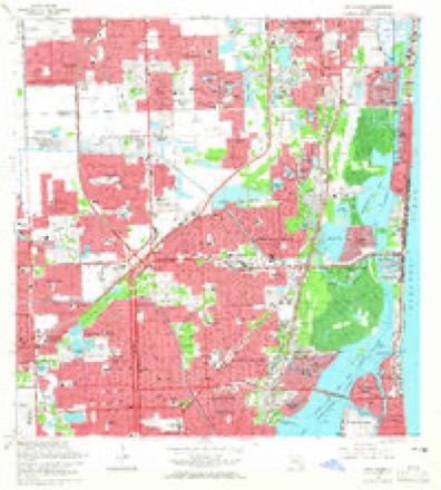
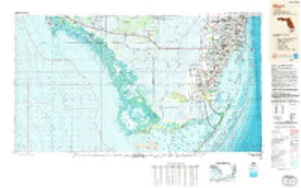
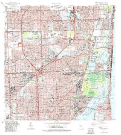
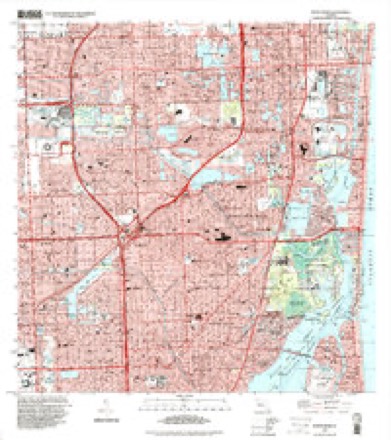
15 topographic sheets cover this place, the earliest surveyed in 1947 and the latest in 1994. It stands in the Miami census division. It lies in ZIP code area 33169. The Survey maps it on the North Miami quadrangle.
Then and now
1947 to 1994The same ground, surveyed 47 years apart. Drag the handle to wipe between them. Both sheets are United States Geological Survey originals; neither has been altered.
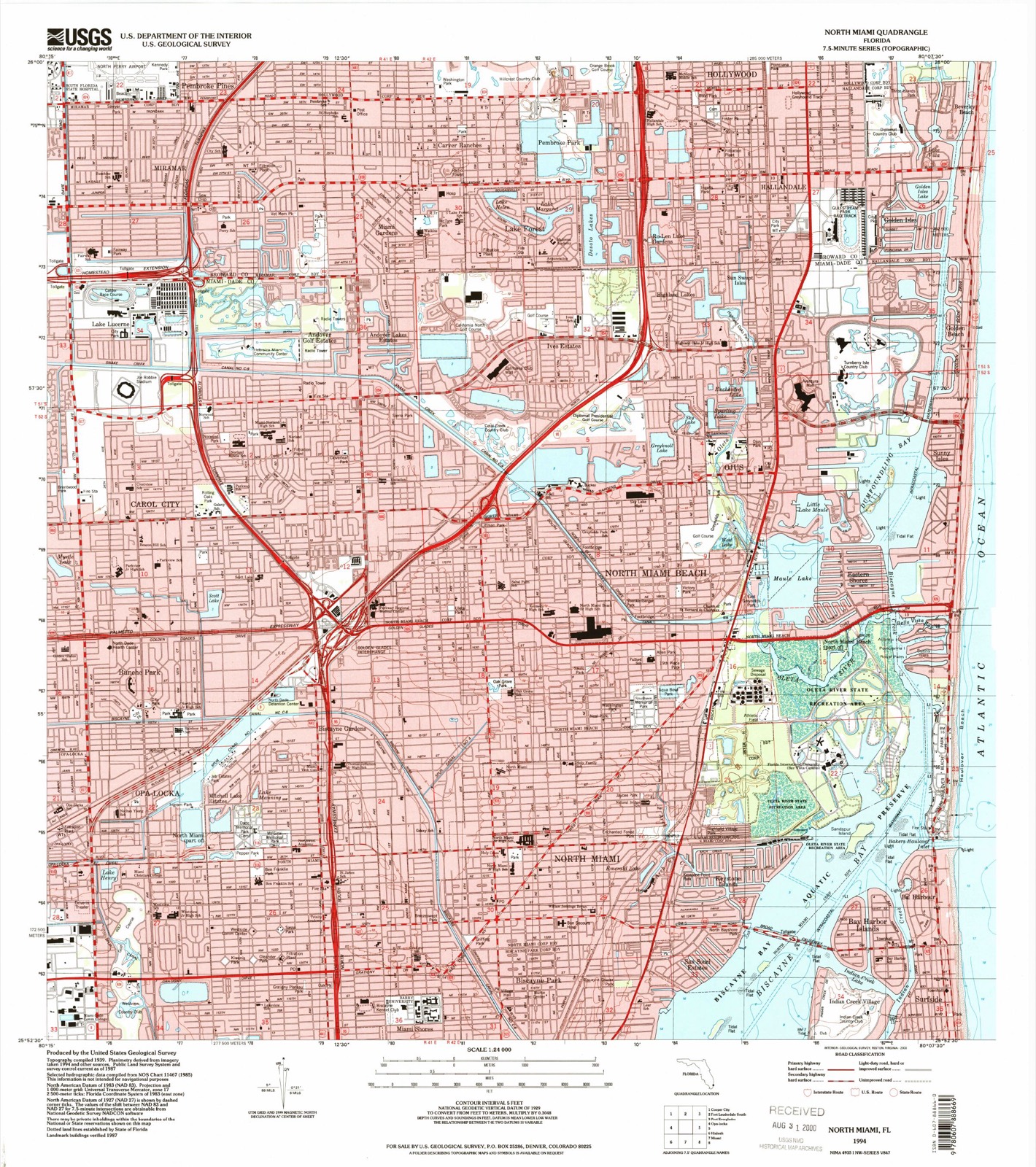
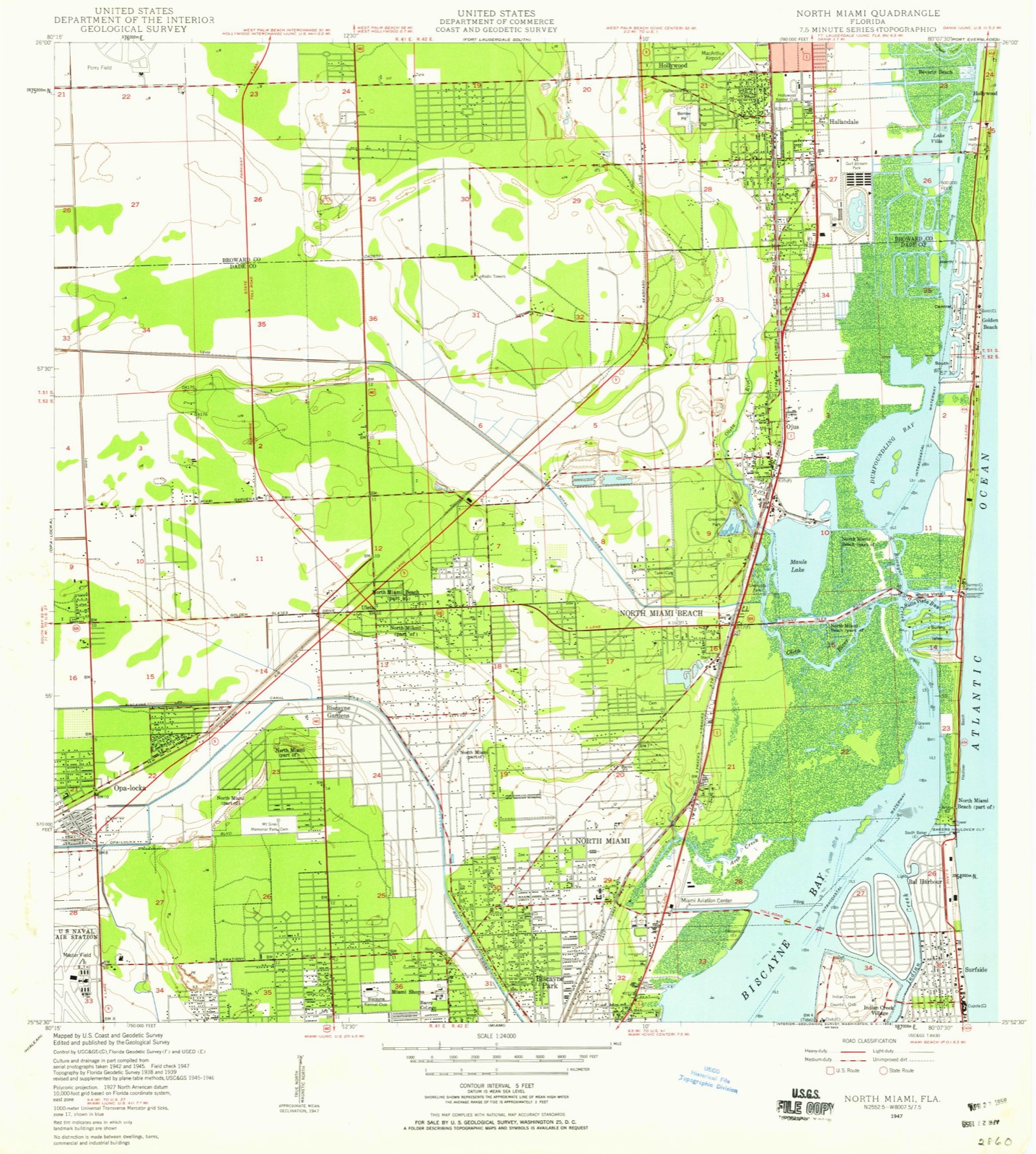
Compare 1947 against another survey:
Topographic sheets covering this place
9 surveys from 15 printed sheetsMatched by testing this settlement's coordinate against the published boundary of every sheet in the United States Geological Survey's historical collection. Each opens the scanned sheet at the Survey.
- 1947 USGS North Miami quadrangle1:24000
- 1950 USGS North Miami quadrangle1:24000
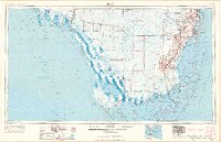
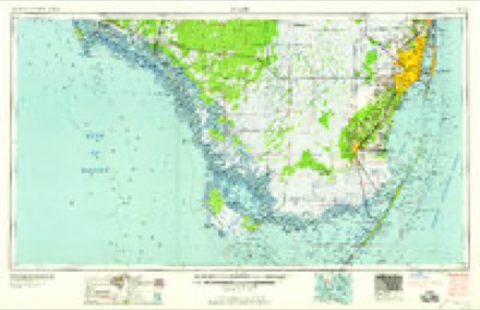
- 1956 USGS Miami quadrangle1:250000, 5 printings
- 1958 USGS Miami quadrangle1:250000
- 1962 USGS North Miami quadrangle1:24000, 3 printings
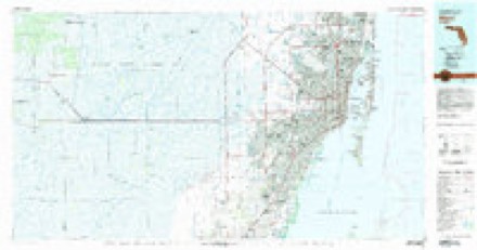
- 1981 USGS Miami quadrangle1:100000
- 1988 USGS Miami quadrangle1:250000
- 1988 USGS North Miami quadrangle1:24000
- 1994 USGS North Miami quadrangle1:24000
Fires near this place
33 since 1992Regional context, not property-specific evidence. The federal wildfire occurrence database lists 33 fires within 5 miles of Biscayne Gardens between 1992 and 2018, burning about 180 acres in total. None started naturally. 7 were recorded as arson. Distance is straight-line from the map coordinates, so a fire counted here may appear on a neighbouring settlement's page as well.
| Reported cause | Fires |
|---|---|
| Railroad operations and maintenance | 12 |
| Arson/incendiarism | 7 |
| Equipment and vehicle use | 5 |
| Missing data/not specified/undetermined | 4 |
| Recreation and ceremony | 3 |
| Misuse of fire by a minor | 1 |
| Debris and open burning | 1 |
The most recent of them, most recent first, with the day each was reported and the service that recorded it.
| Date | Cause | Size | Reported by | Name on the report |
|---|---|---|---|---|
| 17 September 1992 | Railroad operations and maintenance | 5.0 acres | Florida Forest Service | not named |
| 31 August 2001 | Equipment and vehicle use | 12 acres | Florida Forest Service | not named |
| 5 May 2003 | Arson/incendiarism | 4.0 acres | Florida Forest Service | not named |
| 30 May 1992 | Railroad operations and maintenance | under an acre | Florida Forest Service | not named |
| 30 May 1992 | Railroad operations and maintenance | under an acre | Florida Forest Service | not named |
| 28 April 2018 | Missing data/not specified/undetermined | 3.0 acres | Florida Forest Service | OLETA (13) |
| 28 April 1998 | Railroad operations and maintenance | 10 acres | Florida Forest Service | not named |
| 25 April 1999 | Equipment and vehicle use | 20 acres | Florida Forest Service | not named |
Settlements close enough to share some of these fires:
Storms near this place
8 since 2009Regional context, not property-specific evidence. The National Weather Service names Biscayne Gardens in 8 storm reports between 2009 and 2025: 2 lightning, 2 hail, 2 flood, 1 thunderstorm wind. The reports record 1 injury. Each account below is quoted exactly as the forecast office filed it, from the NOAA Storm Events Database, and each date opens the federal record of that event.
| When | Event | Place named | Harm | What the report says |
|---|---|---|---|---|
| July 2019 | Lightning | Biscayne Gardens | 1 hurt | Broadcast media reports a woman was injured due to a lightning strike. She was injured while crossing the street near Miami-Dade public library's California club. The woman was transported to a local hospital. |
| June 2014 | Lightning | Biscayne Gardens | $50,000 | Lightning struck a home in North Miami Beach, sparking a fire that caused significant damage to the interior of the home. Five people inside the home at the time of the lightning strike were able to get out in time. Damage to the home is estimated at $50,000. |
| May 2025 | Flood | Biscayne Gardens | $20,000 | Broadcast media video showed several inches of rain, compared to tires on cars, on flooded roadways in northeast Miami-Dade County. Report of substantial street flooding in Miami Gardens area, near North Miami Ave just Ives Dairy Road. |
| September 2025 | Flood | Biscayne Gardens | - | Off duty NWS employee shared photos of parking lot flooding occurring after heavy rainfall occurred. |
| April 2023 | Hail | Biscayne Gardens | - | Nickel sized hail was reported by the public on Ives Dairy Road between Aventura and Miami Gardens. |
| July 2019 | Hail | Biscayne Gardens | - | A business near the corner of NW 167th St and NW 17th Ave reported dime sized hail. |
| February 2016 | Tornado (EF1) | Biscayne Gardens | - | The tornado intially touched down along NW 197th Terrace and between NW 7th Court and NW 9th Avenue, doing damage to a metal awning and siding on a home. Several trees and large branches were blown down and broken to the east along NW 198th Street and NW 7th Court. The damage path continued to the east-southeast, with numerous downed trees and large limbs broken in the neighborhoods between NW 193rd Street and 197th Street to the north and south and NE 7th Street and NW 2nd Avenue to the east and west. The most significant damage in this area was a twisted carport on a house along NW 8th Court near NW 196th Street, where the corner of the roof was also lifted. Along NW 2nd Avenue, the siding was torn off of a fast food restaurant and blown to the east. The damage path continued to the east where additional trees and branches were snapped along NW 193rd Terrace and NW 193rd Street between NW 1st Place and NE 2nd Avenue. The damage path then briefly widened along Sierra Drive between Ives Dairy Road and NW 191st Street with sporadic EF1 damage ranging from snapped large trees to damage to the west facing shingles on an older masonary apartment building. Additional EF1 tree damage then occured along NE 195th and NE 196th Streets. The tornado then crossed I-95 where a semi-truck was blown off the road. The most significant damage occured along NE 191st Street and NE 14th Avenue where several power poles where tilted to the side, coconut palm trees uprooted, and the roofs of two apartment buildings where damaged. The damage path was then sporadic until the tornado crossed NE 18th Avenue, uprooting and snapping additional trees between NE 19th Place and NE 23rd Avenue and NE 191st Drive. The damage path ended along NE 191st Street before reaching the nearby canal, where one home sufferred roof damage, an electrical pole was bent, and tennis court fence blown down. |
| June 2009 | Thunderstorm Wind | Biscayne Gardens | - | Recorded at Landshark Stadium. |
Nearest settlements
The eight closest, with where each one stands in the county. Distances are straight-line, computed from the Geographic Names Information System coordinates.
| Map | Place | Distance | Sheets |
|---|---|---|---|
| Golden Glades | 0.5 miles | 15 | |
| Mitchell Lake Estates | 1.1 miles | 15 | |
| Bunche Park | 1.5 miles | 15 | |
| North Miami | 2.0 miles | 15 | |
| Scott Lake | 2.3 miles | 15 | |
| Opa-locka | 2.3 miles | 15 | |
| Norland | 2.5 miles | 15 | |
| Biscayne Park | 2.6 miles | 15 |
Provenance
This settlement is recorded in the Geographic Names Information System as feature 278849. The sheet list is computed by point-in-boundary test against the United States Geological Survey's historical topographic inventory. Both are works of the United States government and carry no copyright under 17 U.S.C. 105.
Wildfire. Short, Karen C. 2022. Spatial wildfire occurrence data for the United States, 1992-2020 [FPA_FOD_20221014]. 6th Edition. Fort Collins, CO: Forest Service Research Data Archive. https://doi.org/10.2737/RDS-2013-0009.6 Collected with United States Government funding and usable without additional permissions or fees.
Storms. NOAA National Centers for Environmental Information, Storm Events Database https://www.ncei.noaa.gov/stormevents/ A work of the United States government, no copyright under 17 U.S.C. 105. Narratives are quoted verbatim from the National Weather Service report and are not edited or summarised.