 Block
BlockBoca Grande, Florida
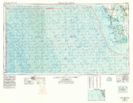
13 topographic sheets cover this place, the earliest surveyed in 1956 and the latest in 1981. It stands in the Boca Grande census division. It lies in ZIP code area 33921. It lies near Three Sisters Island. The Survey maps it on the Port Boca Grande quadrangle. It stands 3 feet above sea level.
Then and now
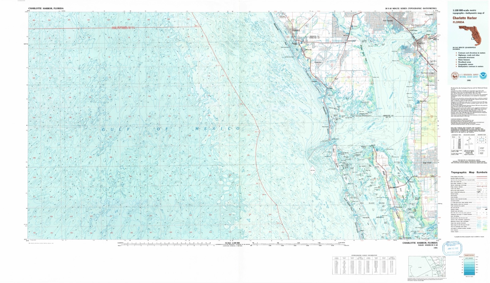
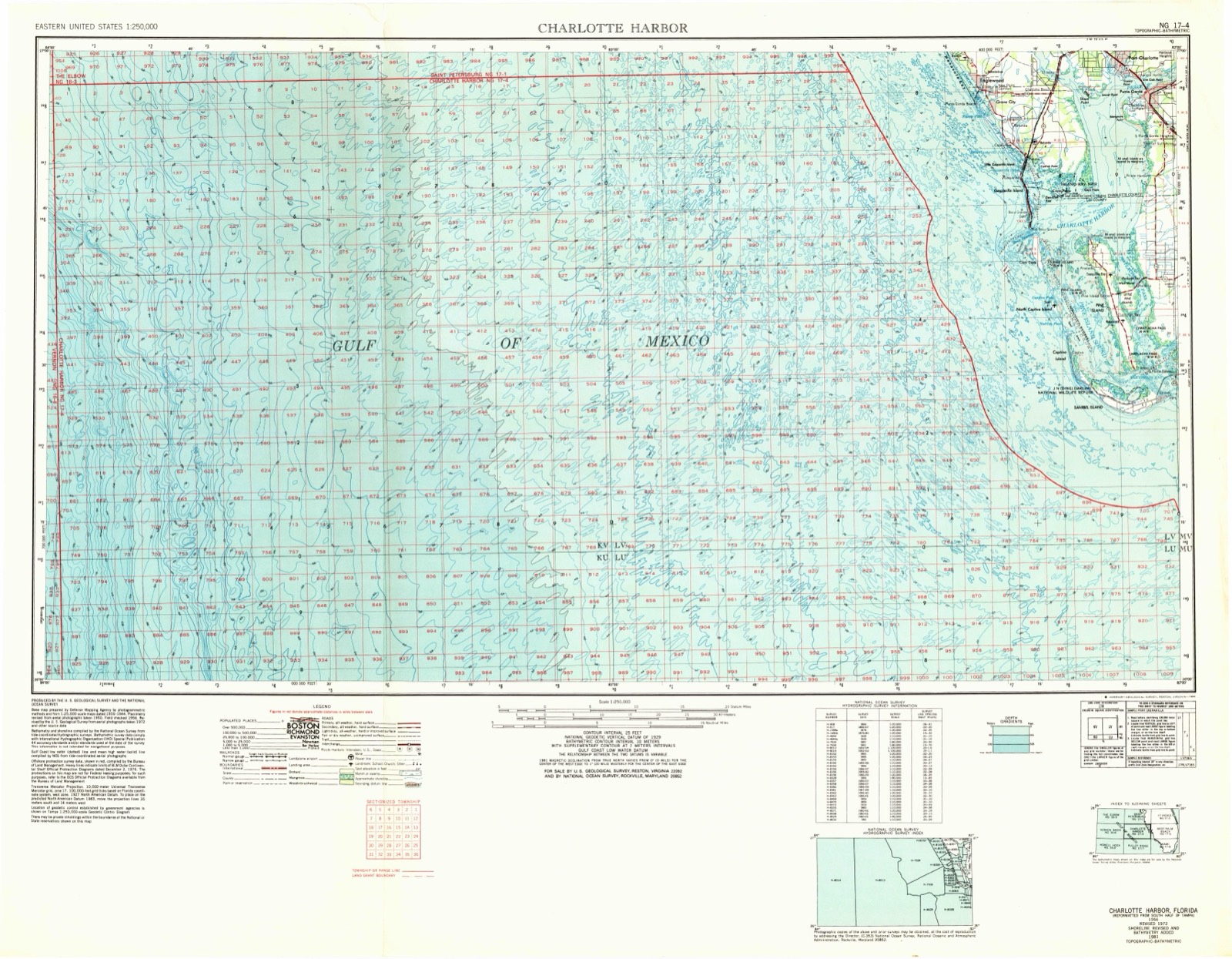
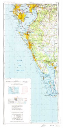
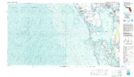
1956 to 1981The same ground, surveyed 25 years apart. Drag the handle to wipe between them. Both sheets are United States Geological Survey originals; neither has been altered.
On record in Boca Grande
Buildings and businesses the archive holds for this place. Each opens its own page, with the source record it came from.
On the National Register 10 records
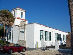 Boca Grande Community Centerlisted 1995
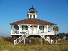 Boca Grande Lighthouselisted 1980
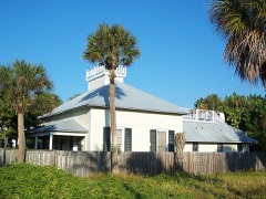 Boca Grande Quarantine Stationlisted 1996
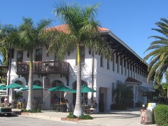 Charlotte Harbor and Northern Railway Depotlisted 1979
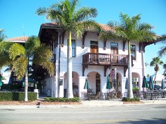 Downtown Boca Grande Historic Districtlisted 2011
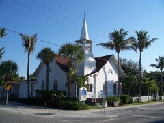 First Baptist Church of Boca Grandelisted 2009
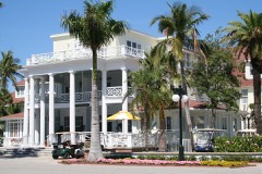 Gasparilla Inn Historic Districtlisted 2008
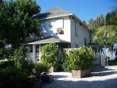 Journey's Endlisted 1985
 Halstead and Emily Lindsley Houselisted 2011
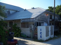 Whidden's Marinalisted 2000
Topographic sheets covering this place
7 surveys from 13 printed sheetsMatched by testing this settlement's coordinate against the published boundary of every sheet in the United States Geological Survey's historical collection. Each opens the scanned sheet at the Survey.
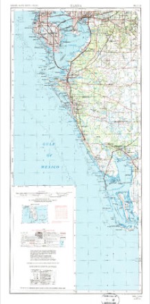
- 1956 USGS Charlotte Harbor quadrangle1:250000
- 1956 USGS Tampa quadrangle1:250000, 2 printings
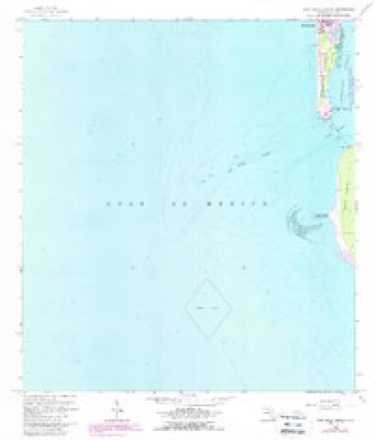
- 1958 USGS Port Boca Grande quadrangle1:24000, 5 printings
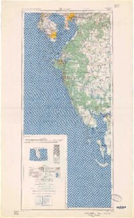
- 1959 USGS Tampa quadrangle1:250000
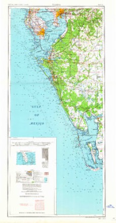
- 1960 USGS Tampa quadrangle1:250000, 2 printings
- 1972 USGS Tampa quadrangle1:250000
- 1981 USGS Charlotte Harbor quadrangle1:100000
Fires near this place
1 since 2008Regional context, not property-specific evidence. The federal wildfire occurrence database lists 1 fire within 5 miles of Boca Grande in 2008, burning about 187 acres in total. None started naturally. None was recorded as arson. Distance is straight-line from the map coordinates, so a fire counted here may appear on a neighbouring settlement's page as well.
| Reported cause | Fires |
|---|---|
| Recreation and ceremony | 1 |
The most recent of them, most recent first, with the day each was reported and the service that recorded it.
| Date | Cause | Size | Reported by | Name on the report |
|---|---|---|---|---|
| 16 April 2008 | Recreation and ceremony | 187 acres | Florida Forest Service | CAYO FIRE |
Settlements close enough to share some of these fires:
Storms near this place
11 since 1993Regional context, not property-specific evidence. The National Weather Service names Boca Grande in 11 storm reports between 1993 and 2008: 5 thunderstorm wind, 3 tornado, 3 waterspout. The reports record 1 injury. Each account below is quoted exactly as the forecast office filed it, from the NOAA Storm Events Database, and each date opens the federal record of that event.
| When | Event | Place named | Harm | What the report says |
|---|---|---|---|---|
| June 2000 | Tornado (F0) | Boca Grande | 1 hurt | A Skywarn Spotter reported that a waterspout came onshore as a tornado at the south end of Gasparilla Island. One man was injured by flying debris from the tornado before it lifted and dissipated. |
| August 2000 | Tornado (F0) | Boca Grande | $75,000 | The public reported that a waterspout moved onshore as a weak tornado along Treasure Lane, one mile northeast of Boca Grande. The local fire department reported that the small tornado caused minor roof, lanai, carport and glass damage to a few homes as it moved west across Jean Lafette, Gaspar Drive, East Railroad and Gasparilla Roads. Also, a few trees were uprooted or snapped half way from the base before the tornado lifted and dissipated near 14th Street in Boca Grande. |
| April 2004 | Thunderstorm Wind | Boca Grande | $25,000 | Thunderstorm winds caused damage to seven homes and downed trees and power lines from Boca Grande to Cape Coral. A mobile home on the 3300 block of Del Prado had part of the roof peeled back while another home on the 4500 block of Del Prado lost about 600 square feet of shingles. Other reports included damage to sheds and car ports. |
| July 1998 | Thunderstorm Wind | Boca Grande | $25,000 | Thunderstorm winds downed power lines, trees and large branches and slightly damaged roofs and windows in Boca Grande. |
| March 2000 | Tornado (F0) | Boca Grande | $5,000 | A waterspout was observed to move onshore as a tornado and cross Gulf Boulevard on the southern tip of Gasparilla Island. The tornado passed over South Lake Village and uprooted fifteen trees along South Bayou Drive. The tornado also damaged the garage door of a townhouse on the 700 block of South Bayou Drive before it lifted and dissipated. |
| March 1993 | Thunderstorm Wind | Boca Grande | $5,000 | Wind gusts to 75 mph blew down signs and tore shingles off roofs. |
| June 2008 | Thunderstorm Wind | Boca Grande | - | A home weather station measured a 65mph wind gust. Power lines were blown down along 4th Street. |
| June 2003 | Thunderstorm Wind | Boca Grande | - | Fire and Rescue reported numerous trees down on the island after the thunderstorm passed. |
| March 2000 | Waterspout | Boca Grande | - | A waterspout was observed to move onshore near Gulf Boulevard one mile south of Boca Grande on the southwest side of Gasparilla Island. |
| June 2000 | Waterspout | Boca Grande | - | A Skywarn Spotter reported a waterspout approximately 300 yards off the south end of Gasparilla Island. |
| August 2000 | Waterspout | Boca Grande | - | A family of up to three waterspouts was reported by the public three miles east northeast of Boca Grande.One of the waterspouts eventually moved onshore near Boca Grande. |
Nearest settlements
The eight closest, with where each one stands in the county. Distances are straight-line, computed from the Geographic Names Information System coordinates.
| Map | Place | Distance | Sheets |
|---|---|---|---|
| Port Boca Grande | 2.0 miles | 13 | |
| Cayo Pelau | 2.9 miles | 12 | |
| Gasparilla | 3.9 miles | 12 | |
| Bokeelia | 6.2 miles | 14 | |
| Pineland | 8.4 miles | 14 | |
| Cayo Costa | 9.2 miles | 14 | |
| Upper Captiva | 10.5 miles | 14 | |
| Burnt Store Marina | 11.2 miles | 13 |
Elsewhere
Matched on this settlement's Geographic Names Information System number rather than its name, so it cannot be a different place of the same name in another state.
| Wikipedia article on Boca Grande | An encyclopaedic summary. Its text is share-alike, so it is linked here rather than copied. |
| Wikidata item Q4936090 | The structured record the population and elevation above come from. Public domain (CC0). |
Provenance
This settlement is recorded in the Geographic Names Information System as feature 279119. The sheet list is computed by point-in-boundary test against the United States Geological Survey's historical topographic inventory. Both are works of the United States government and carry no copyright under 17 U.S.C. 105.
Wildfire. Short, Karen C. 2022. Spatial wildfire occurrence data for the United States, 1992-2020 [FPA_FOD_20221014]. 6th Edition. Fort Collins, CO: Forest Service Research Data Archive. https://doi.org/10.2737/RDS-2013-0009.6 Collected with United States Government funding and usable without additional permissions or fees.
Storms. NOAA National Centers for Environmental Information, Storm Events Database https://www.ncei.noaa.gov/stormevents/ A work of the United States government, no copyright under 17 U.S.C. 105. Narratives are quoted verbatim from the National Weather Service report and are not edited or summarised.