Block
BlockFrom the record
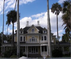
50 National Register listings published here.
Sources: the National Register database, National Park Service
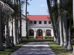
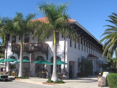
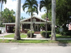
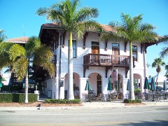
118 topographic sheets cover 71 settlements here, and 50 properties are on the National Register of Historic Places.
50 National Register listings published here.
Sources: the National Register database, National Park Service
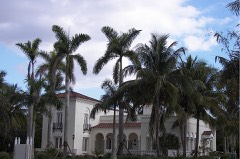
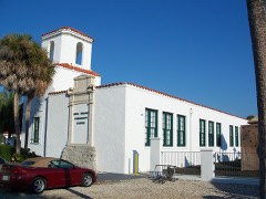
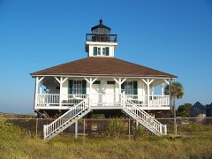
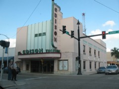
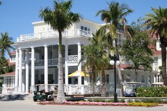
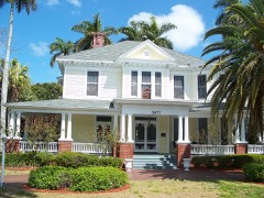
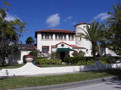
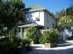
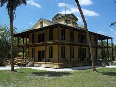
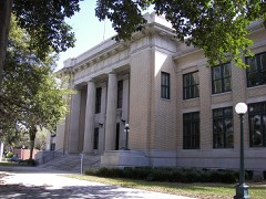
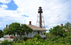
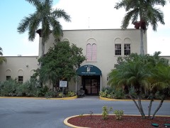
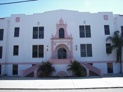
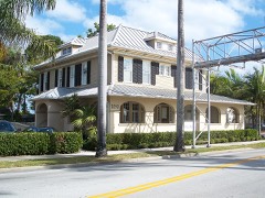
Every property in this county listed on the National Register of Historic Places, with the year it was listed and the federal nomination document.
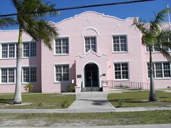
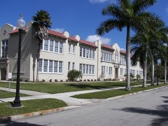
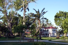
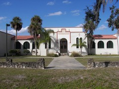
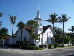
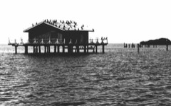
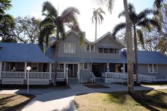
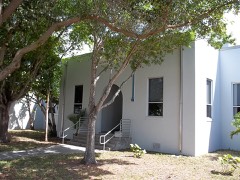
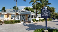
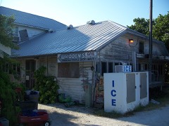
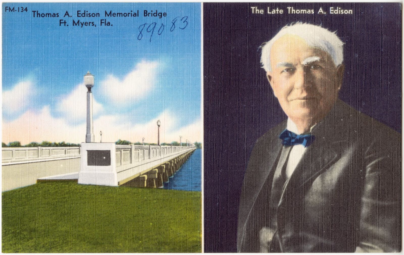
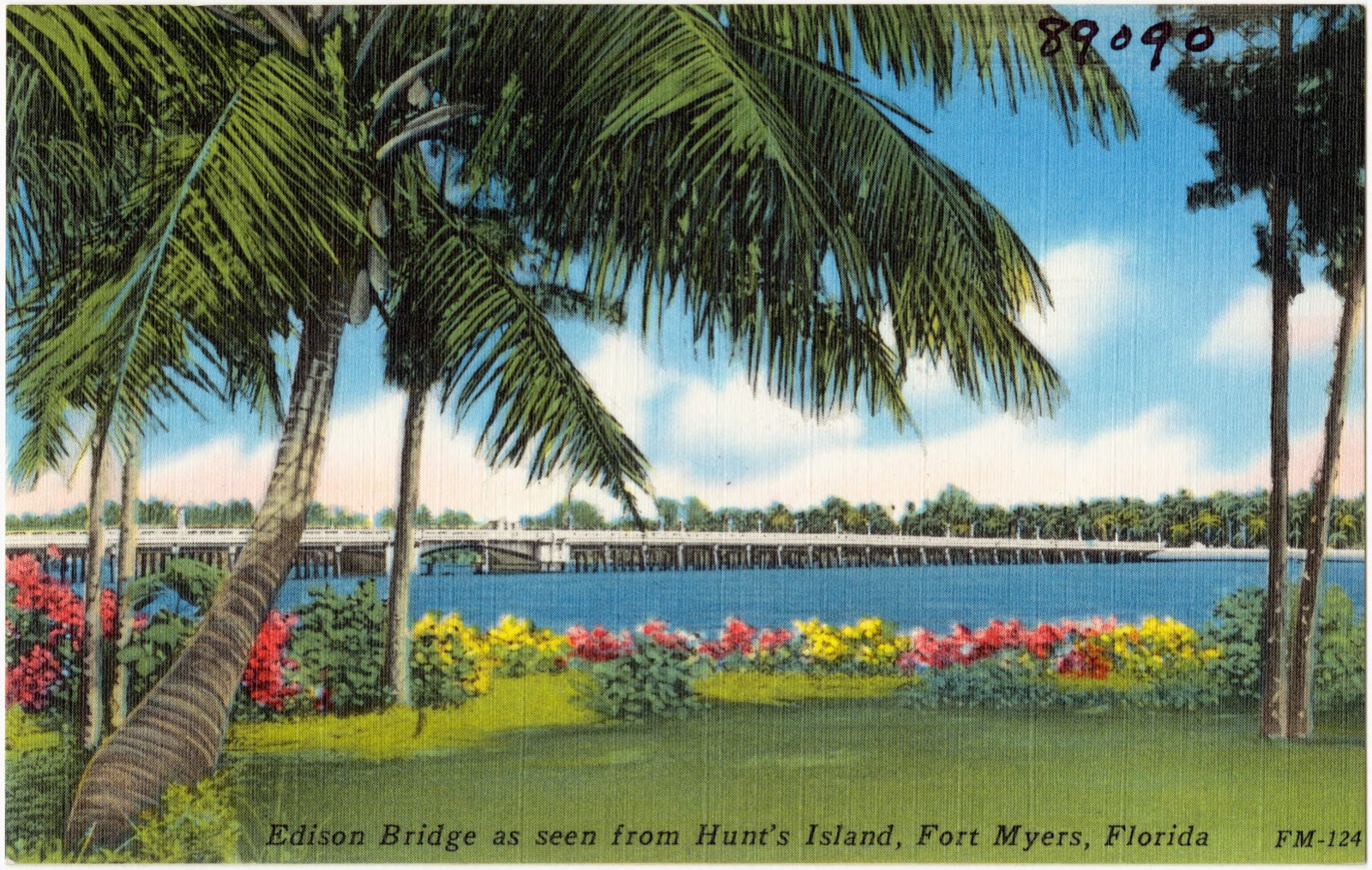
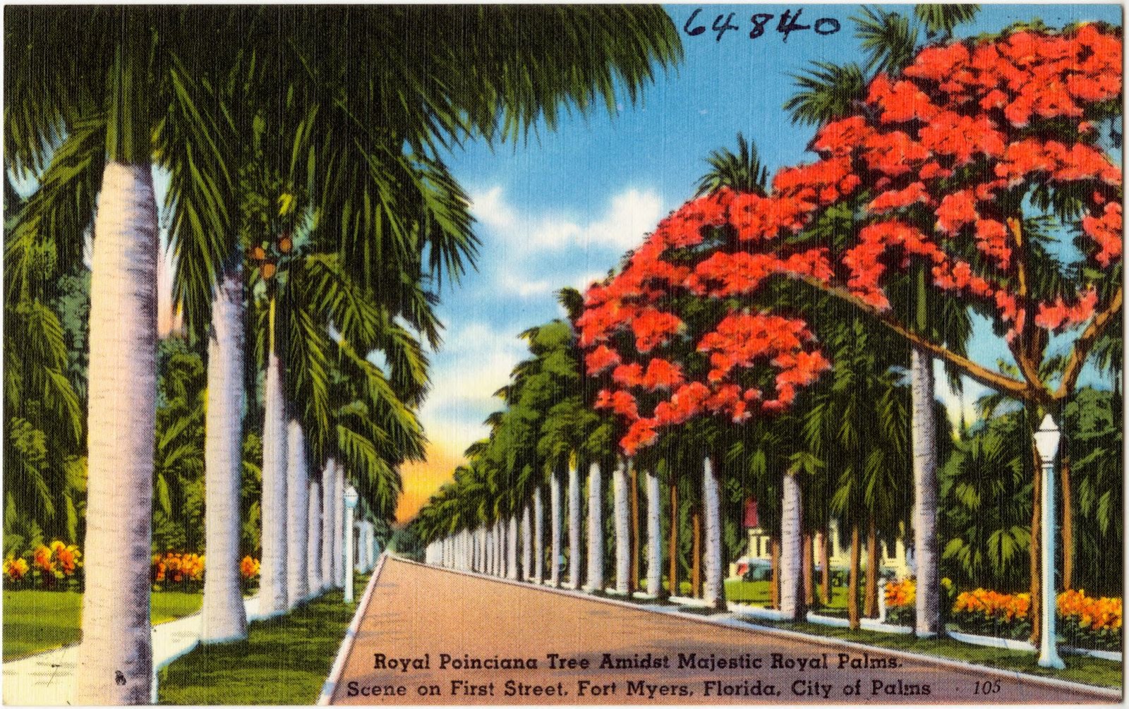
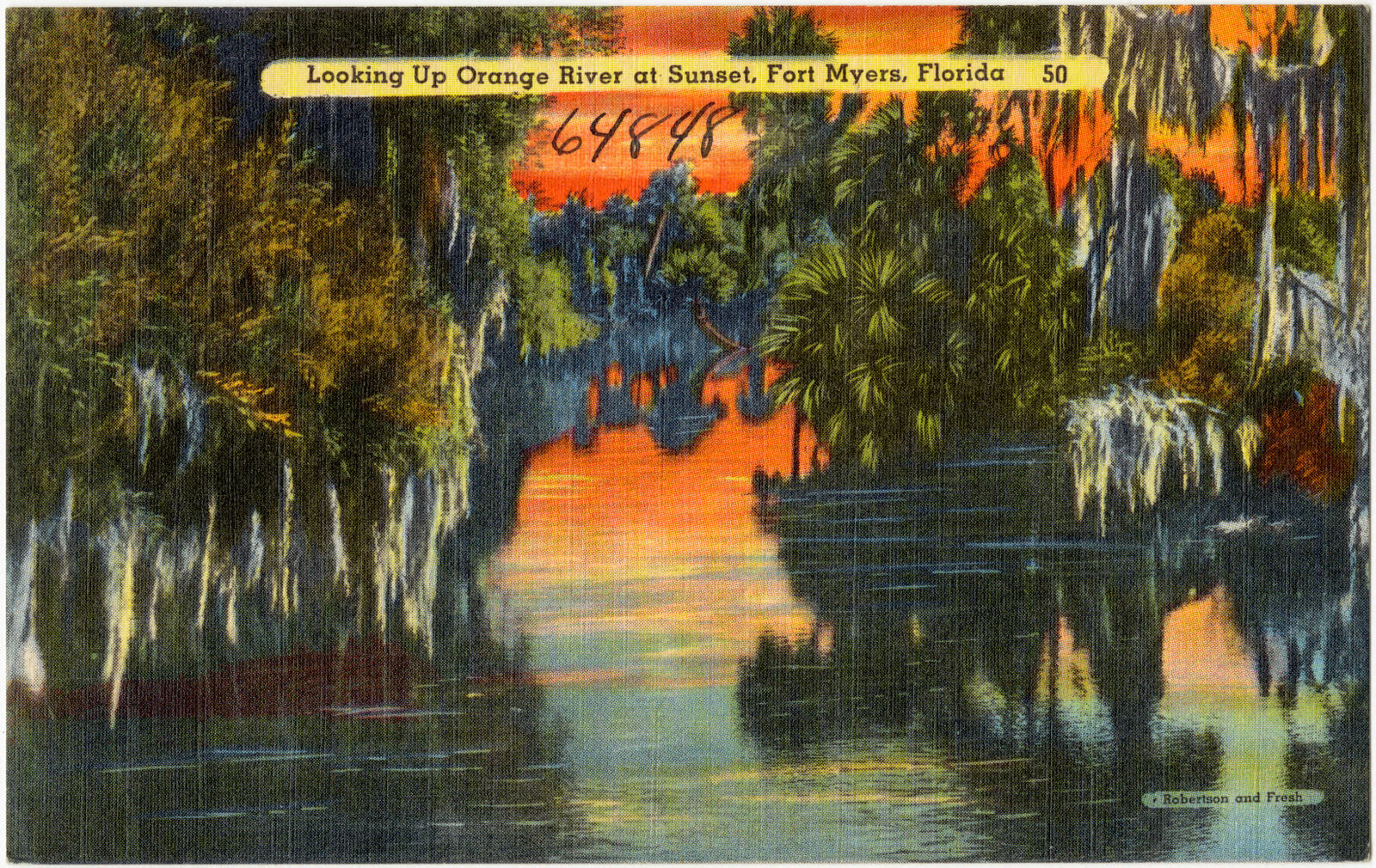
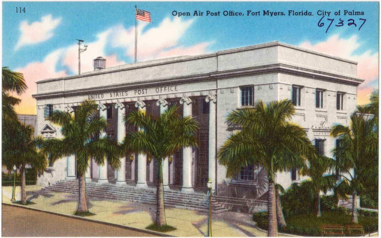
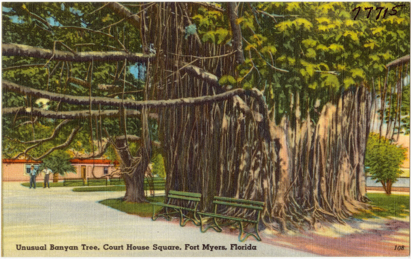
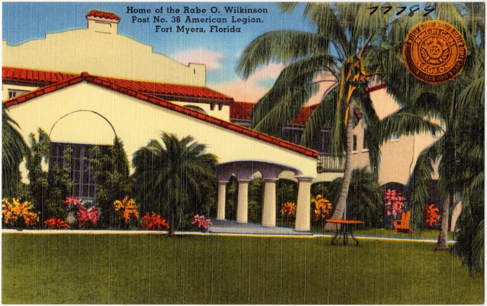
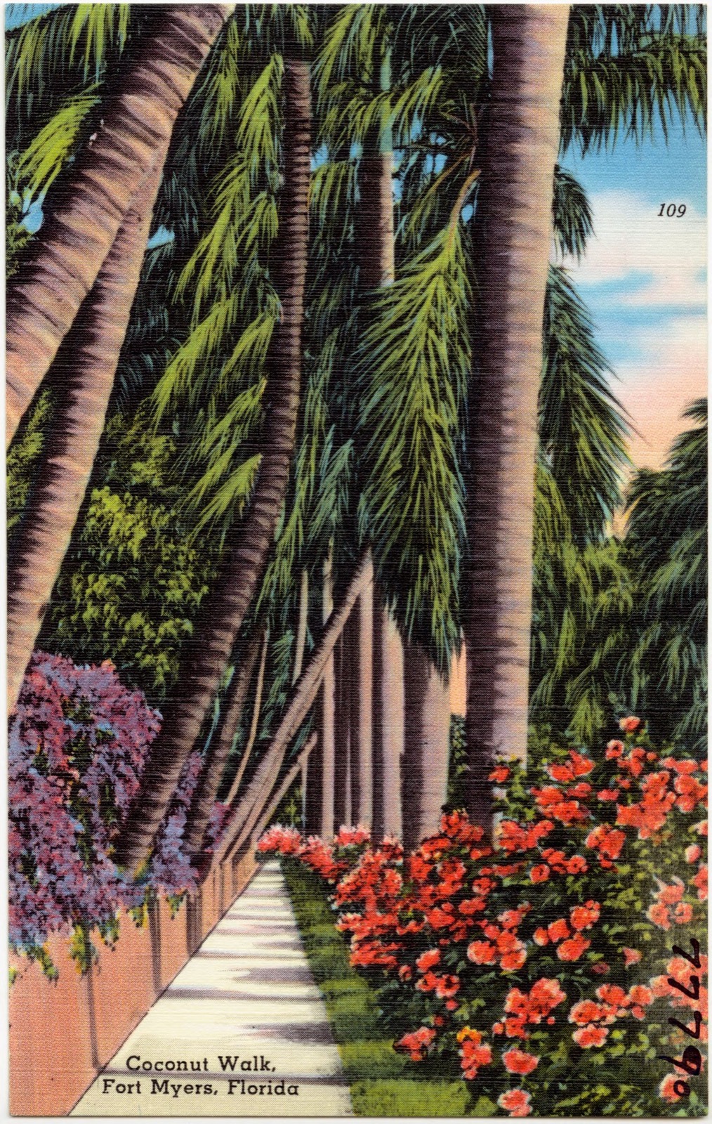
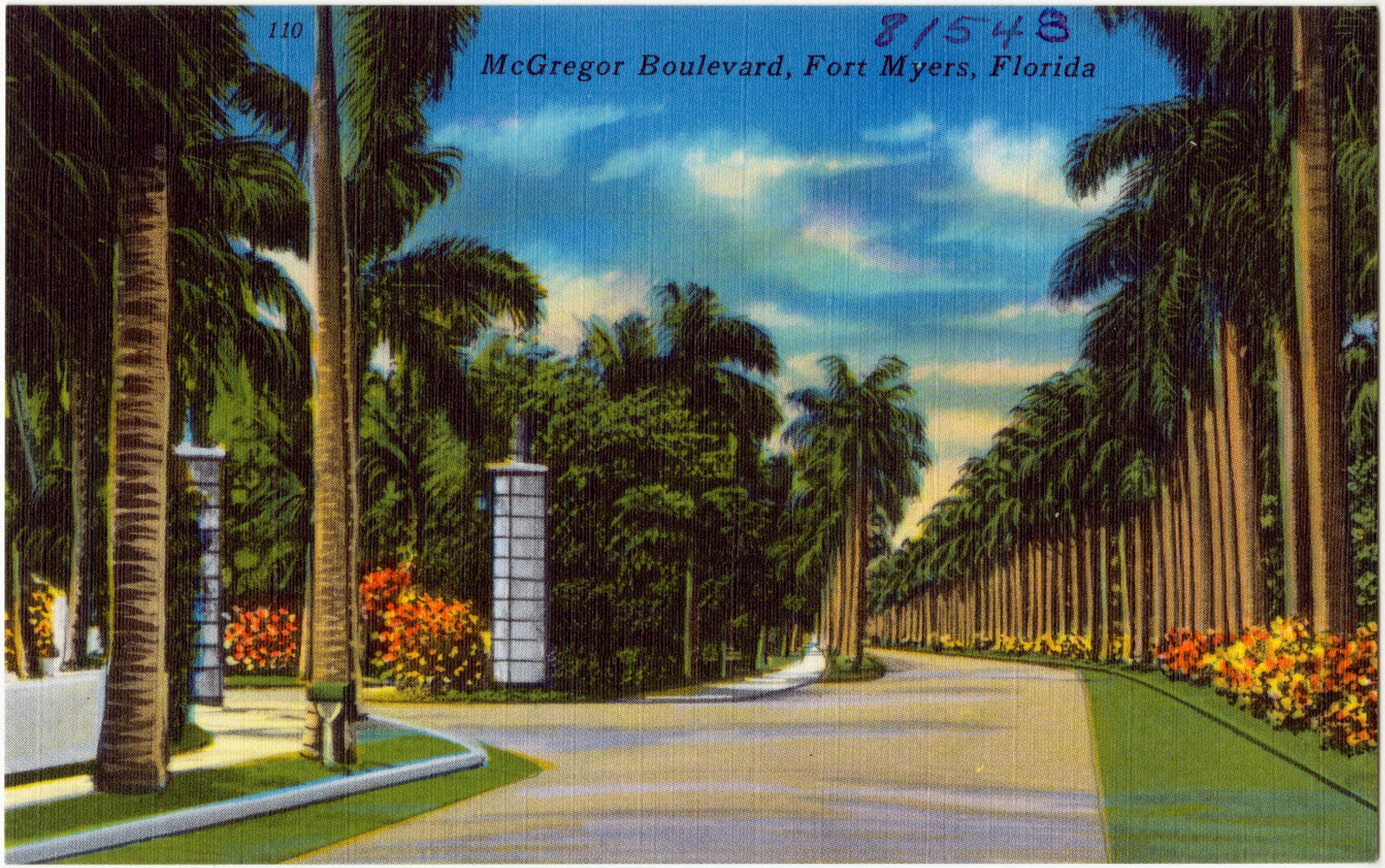
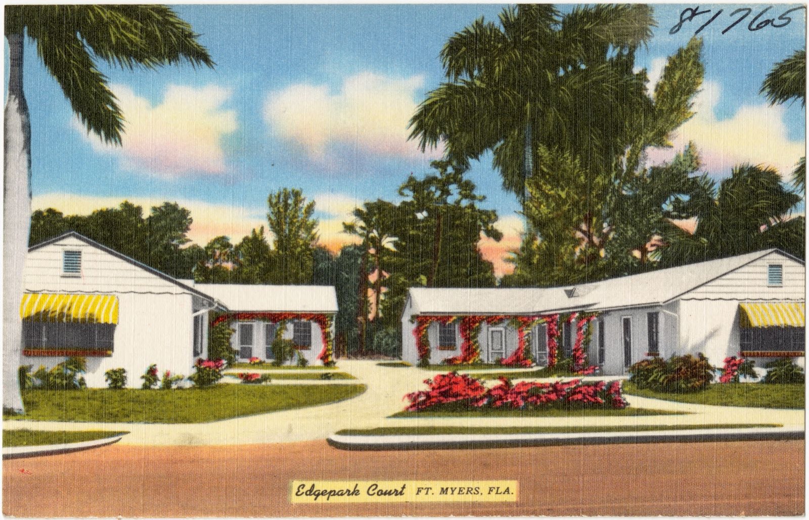
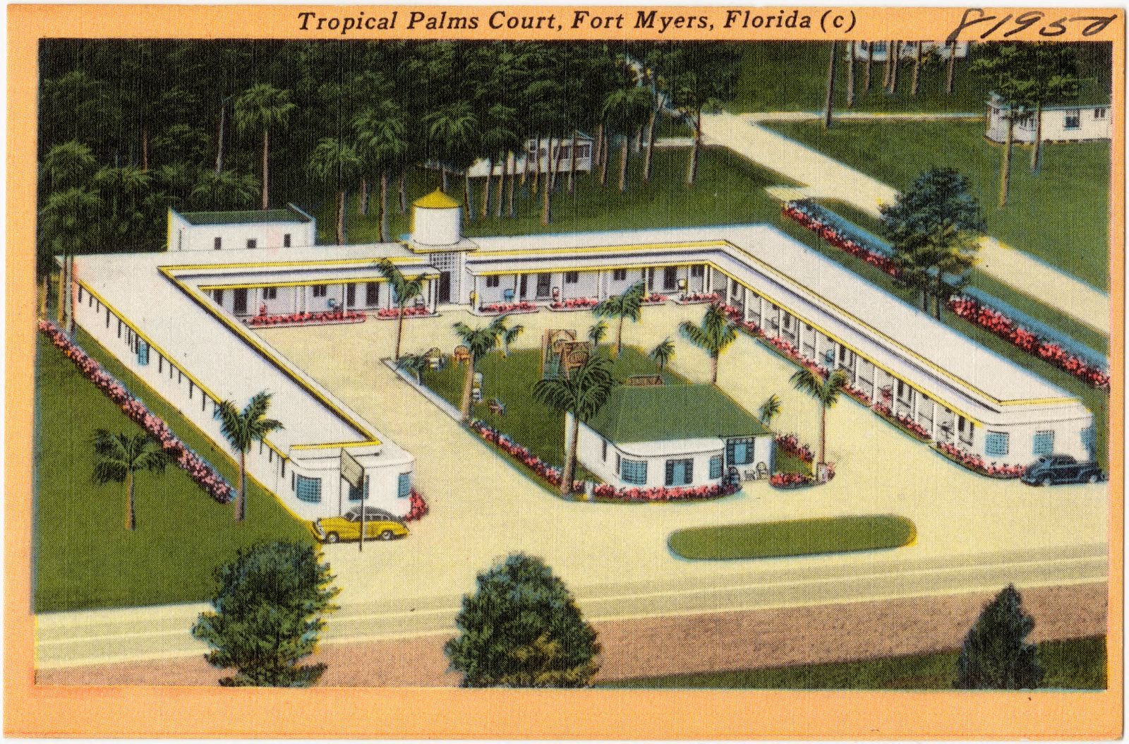
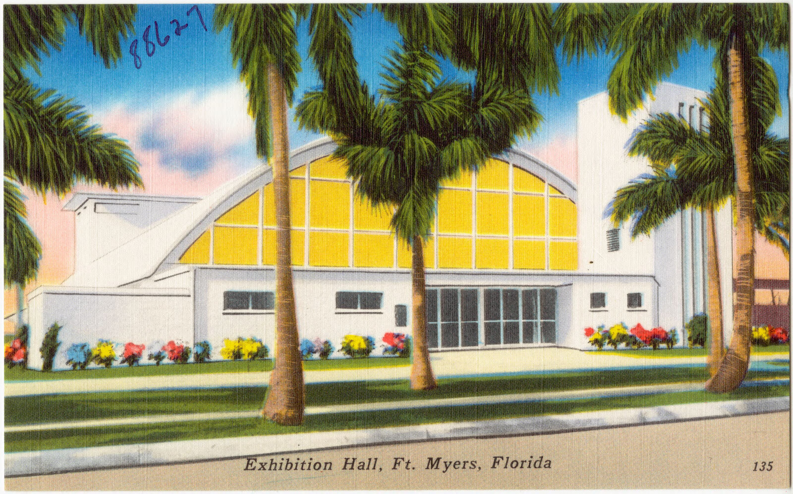
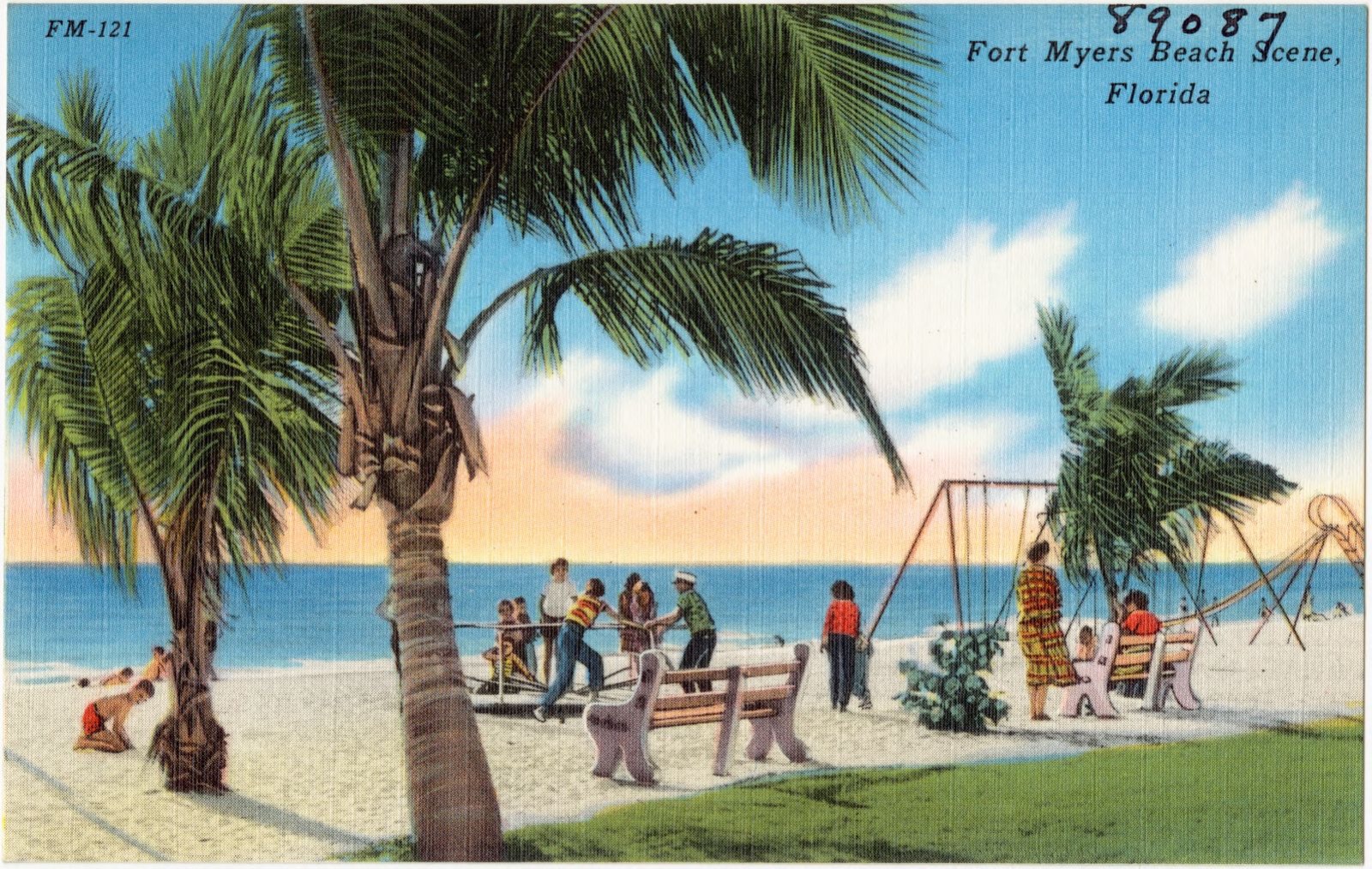
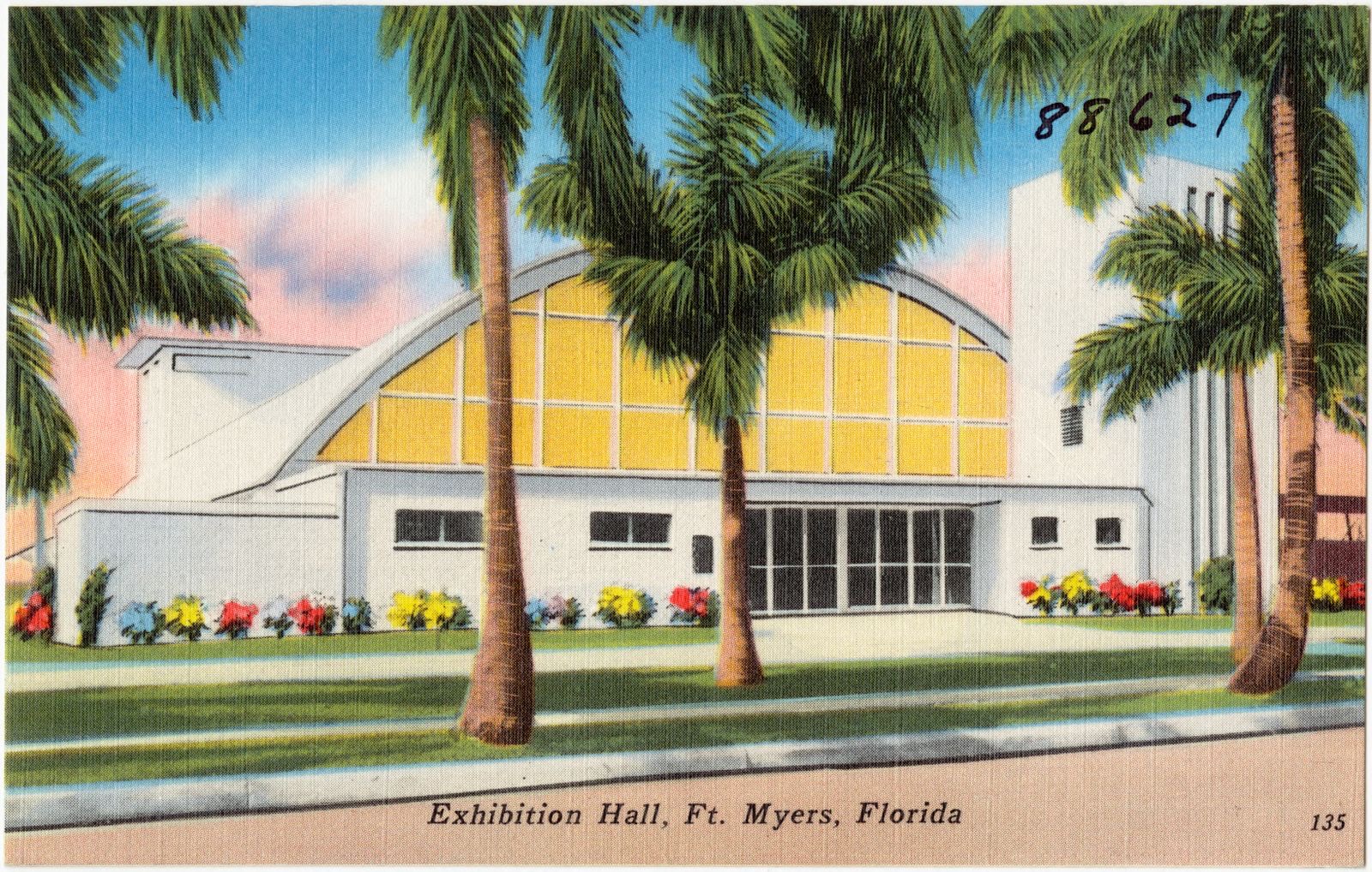
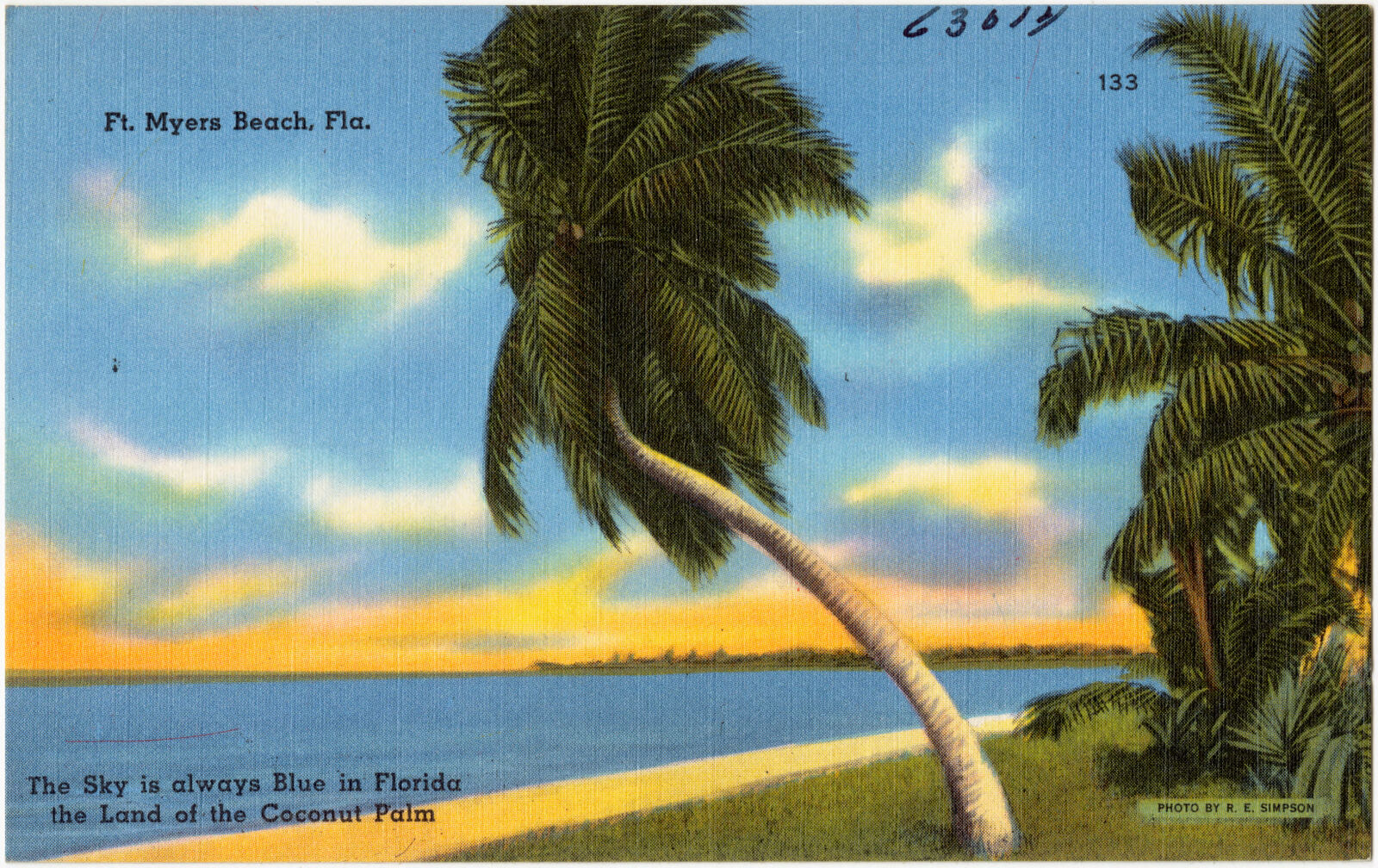
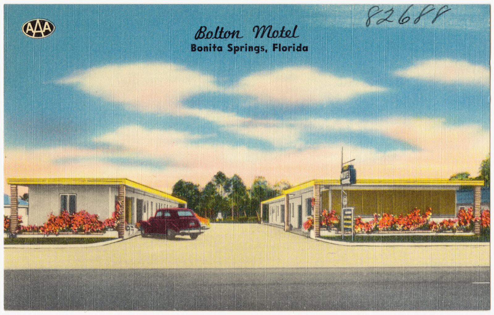
Selected from the Digital Public Library of America's 86 image records catalogued for this county. Every one shown here carries a public-domain status or a licence that permits reuse on a site that carries advertising; non-commercial, share-alike and restricted images are excluded. The selection is spread across the county's towns (at most eight per town), so no single institution's bulk upload crowds out the rest. Each opens the holding library's record, and the complete set at the Digital Public Library of America is one click away.
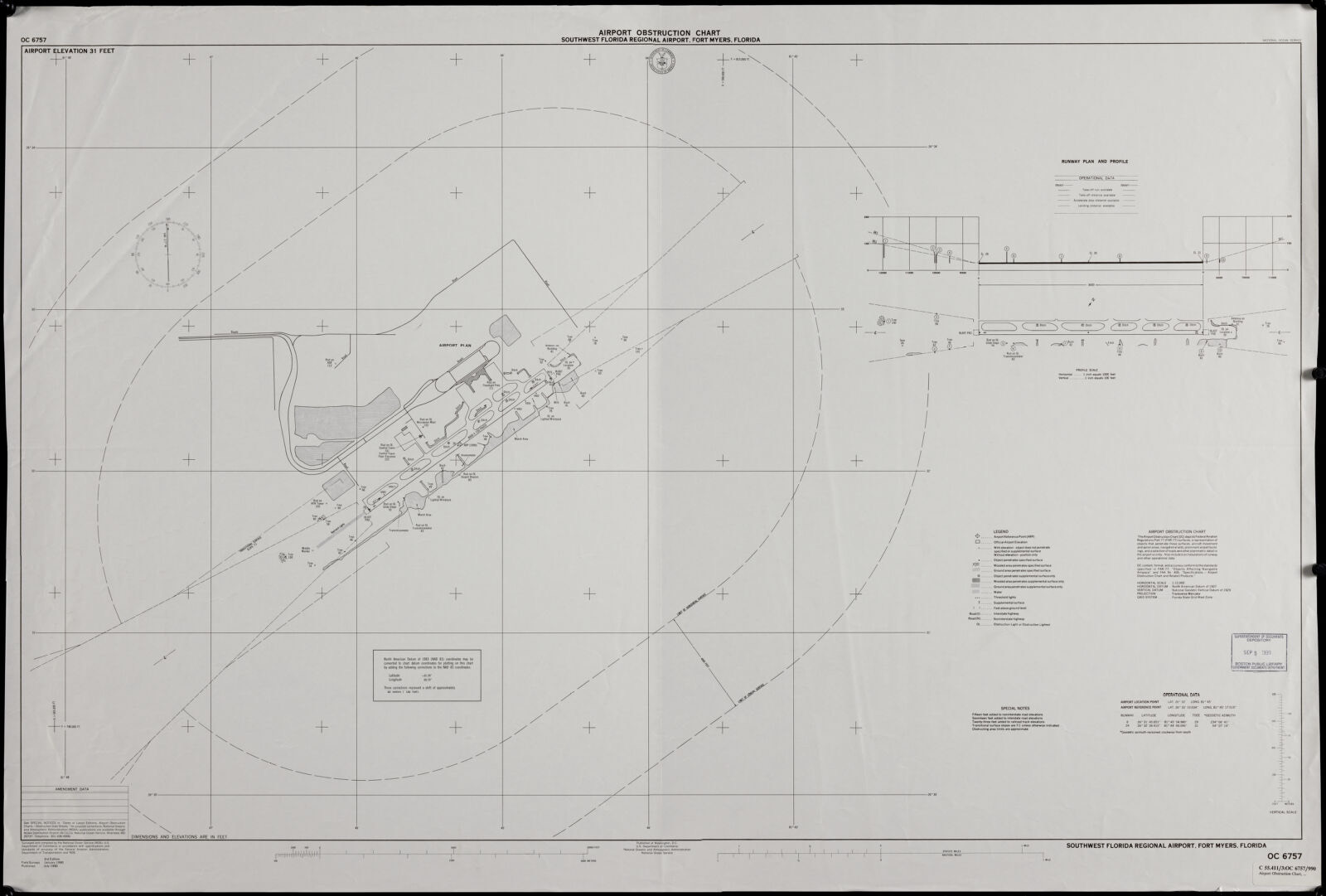

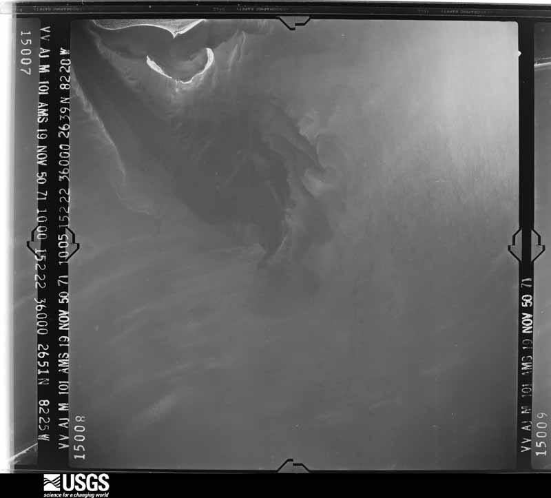
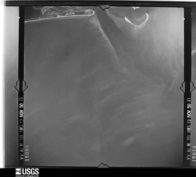
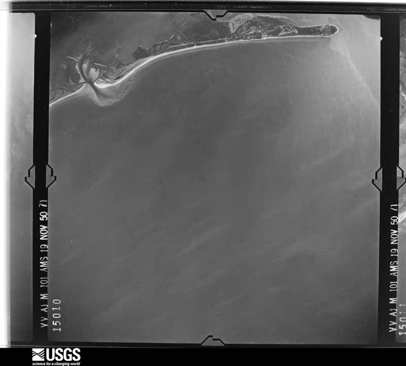
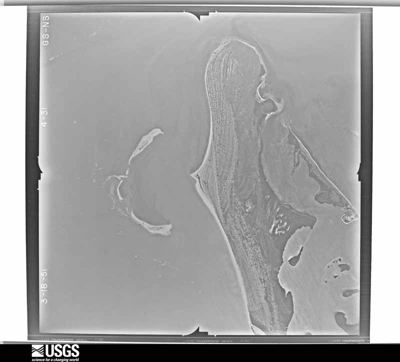
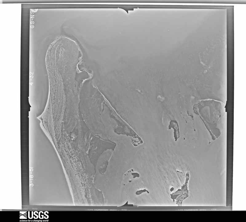
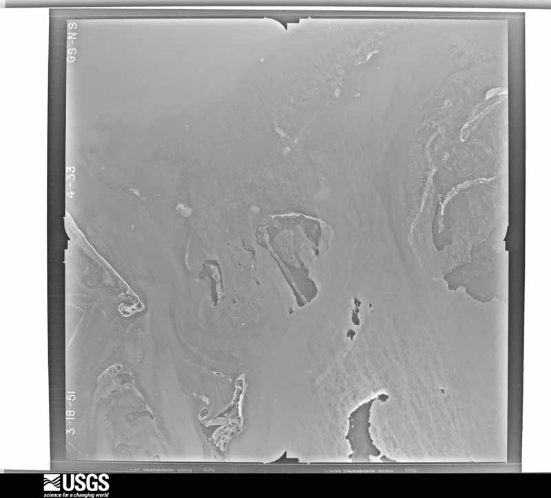
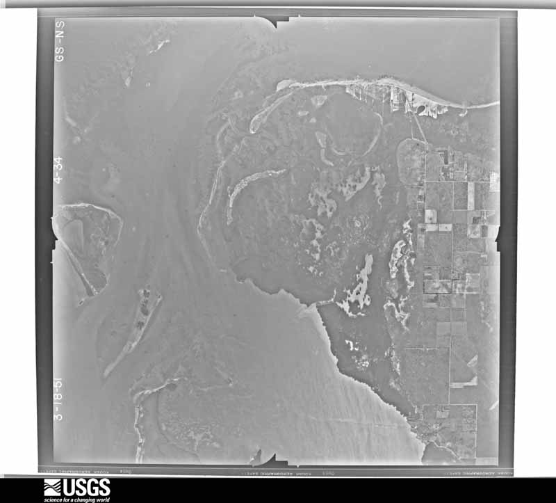
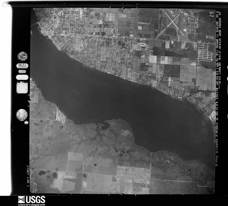
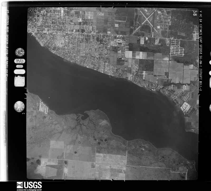
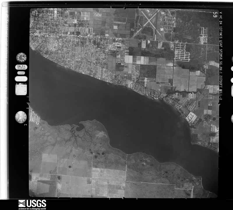
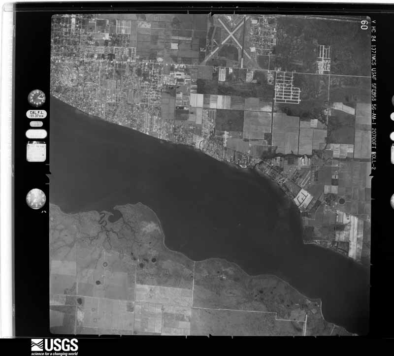
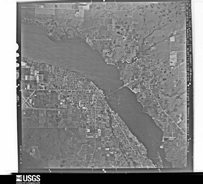
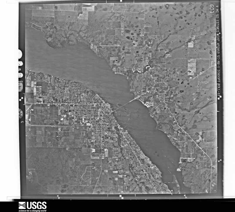
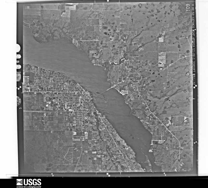
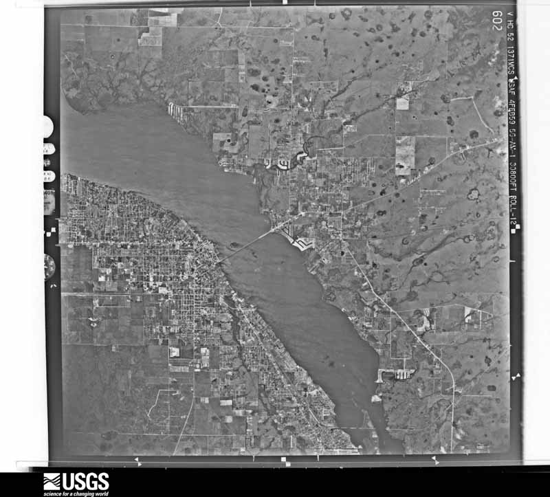
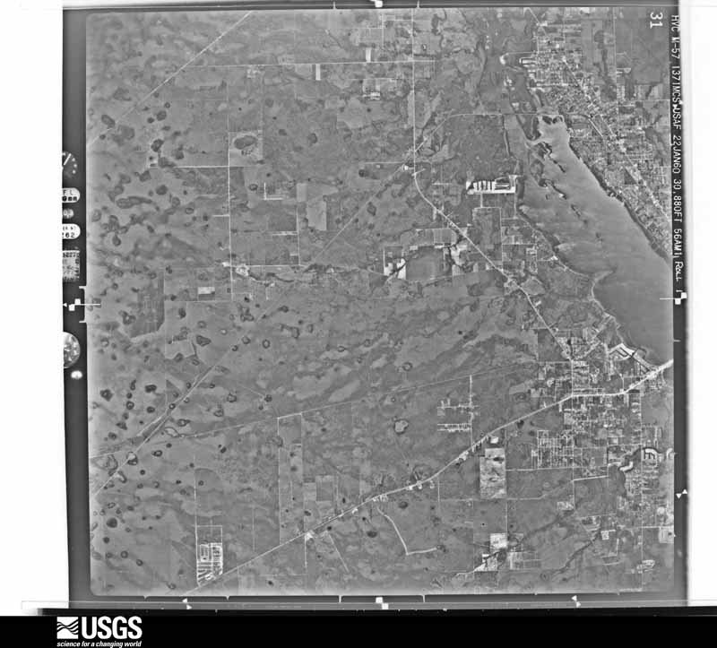
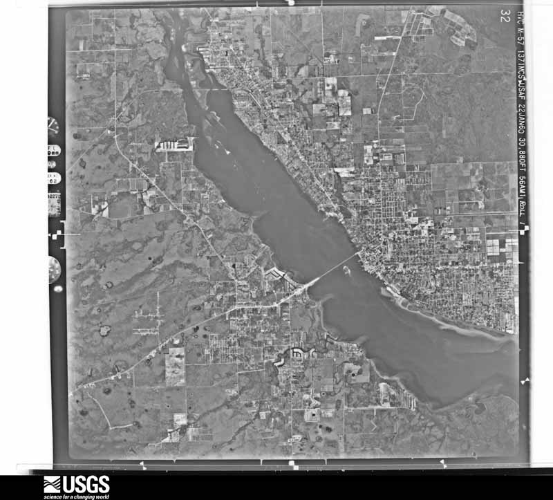
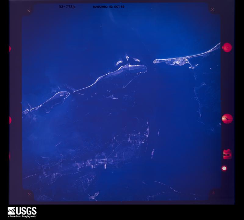
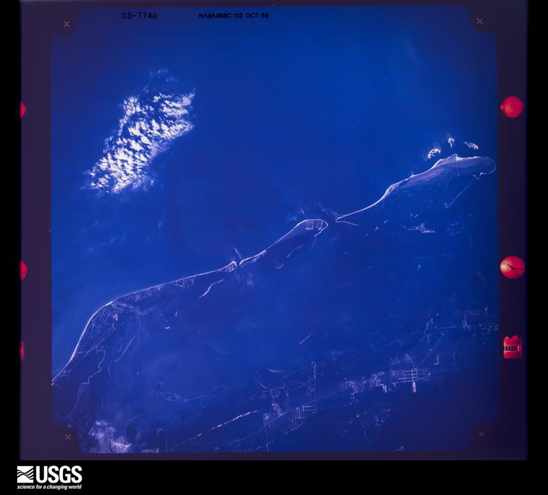
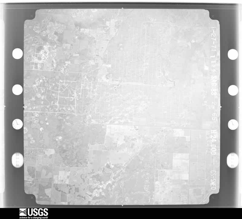
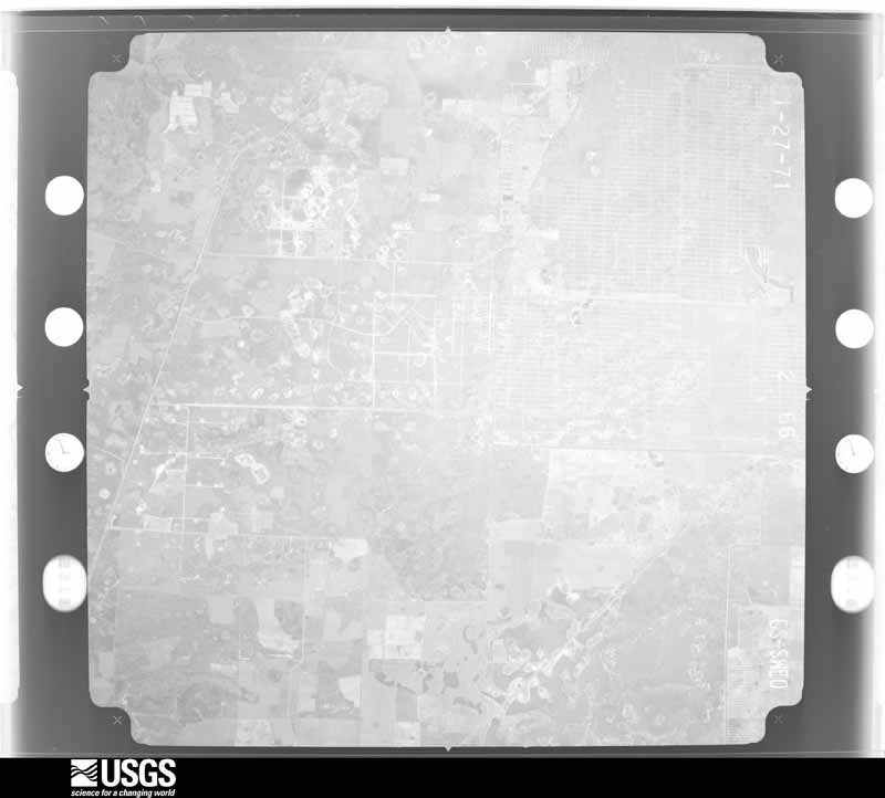
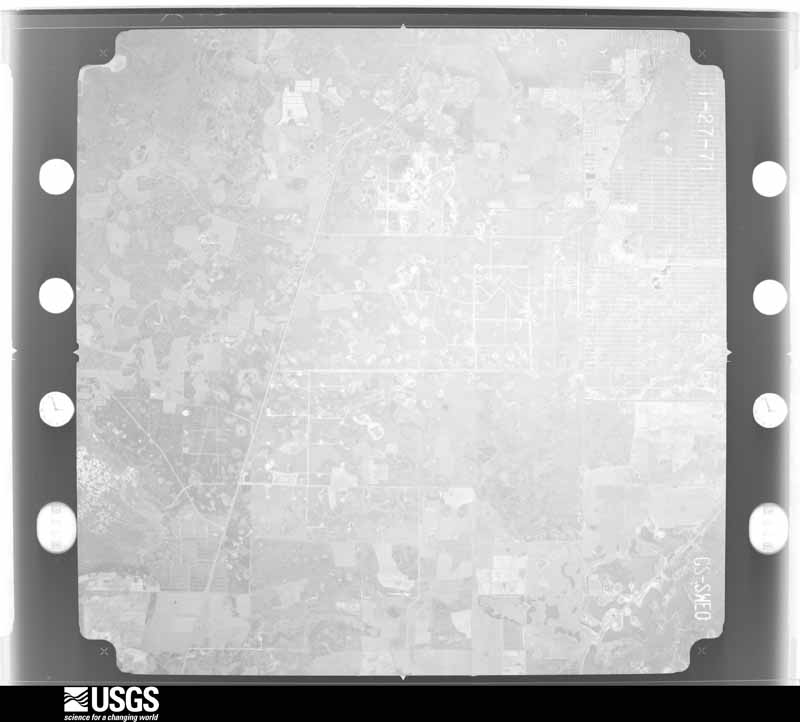
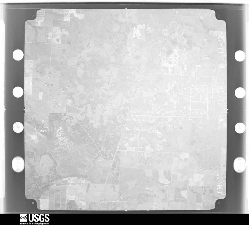
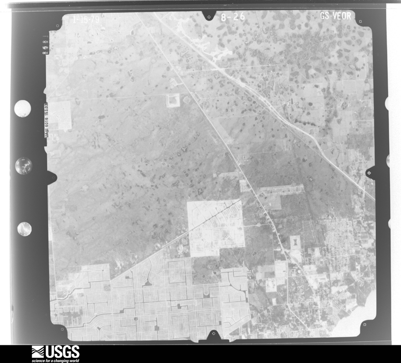
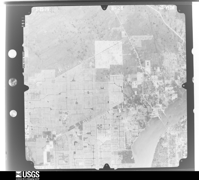
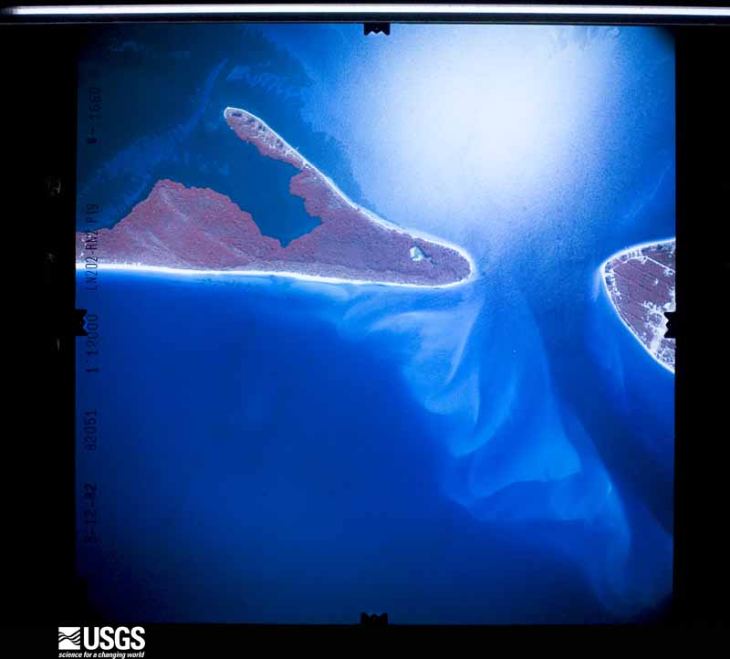
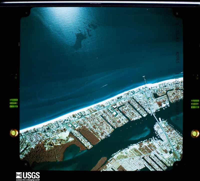
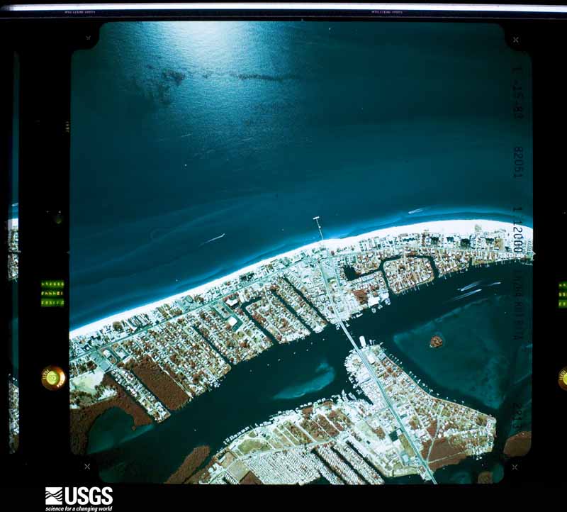
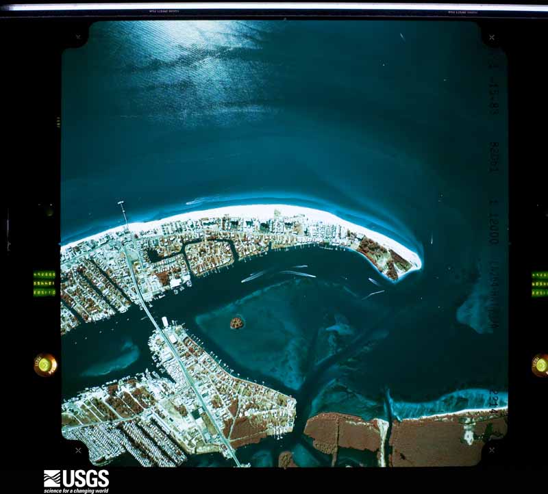
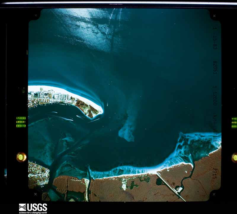
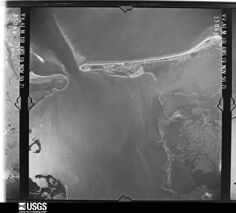
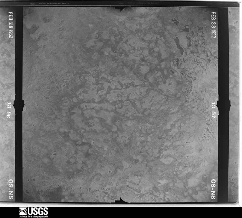
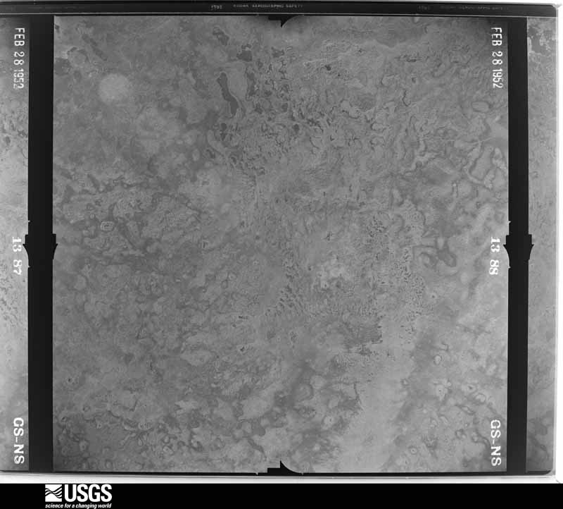
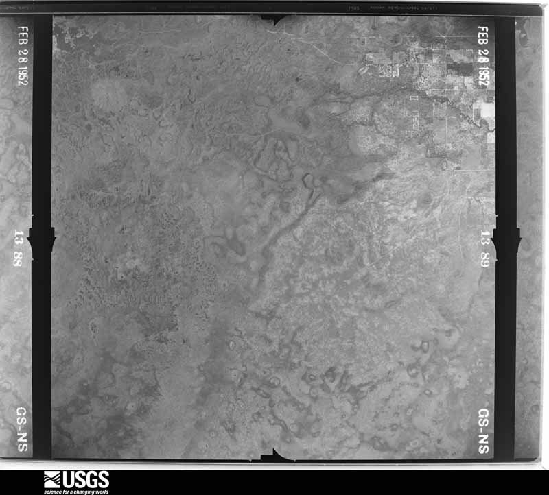
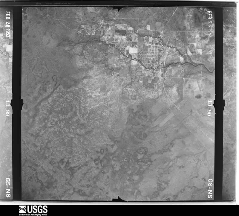
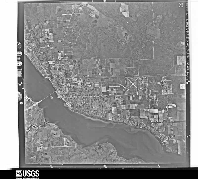
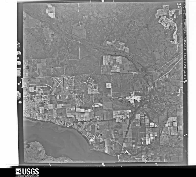
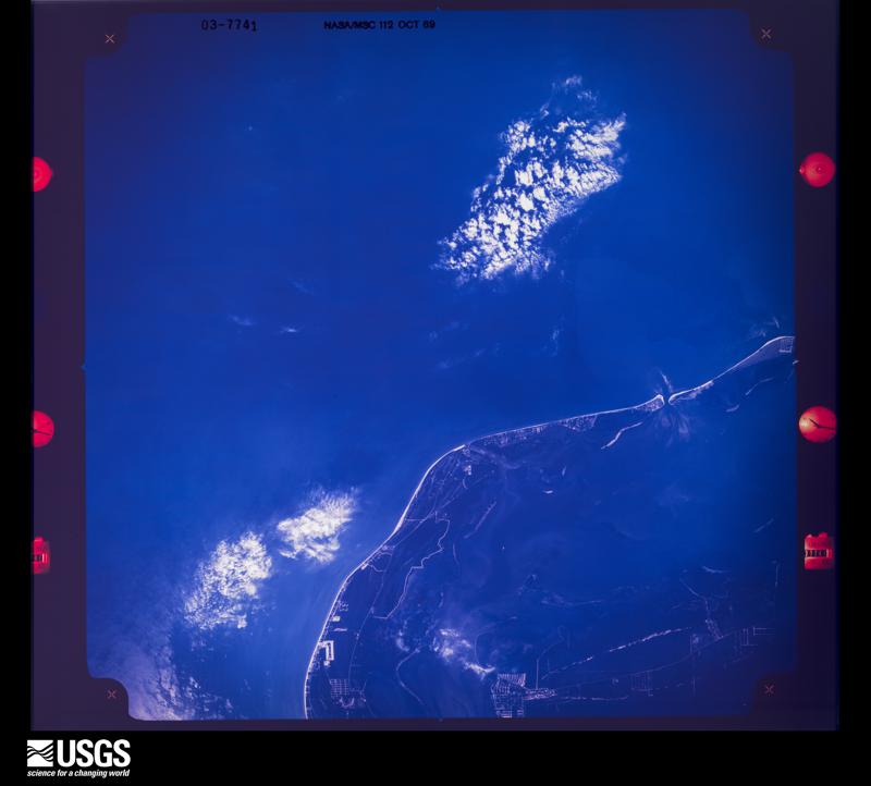
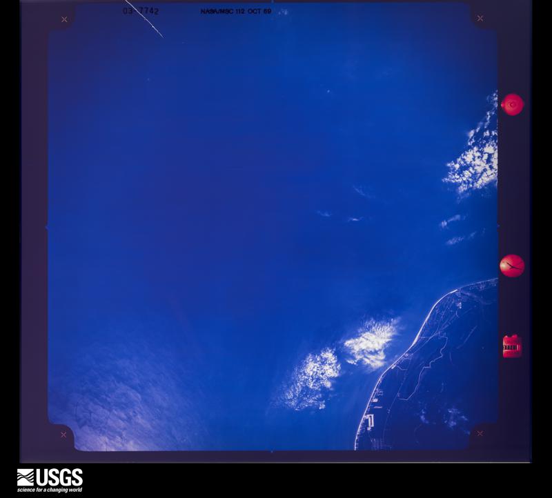
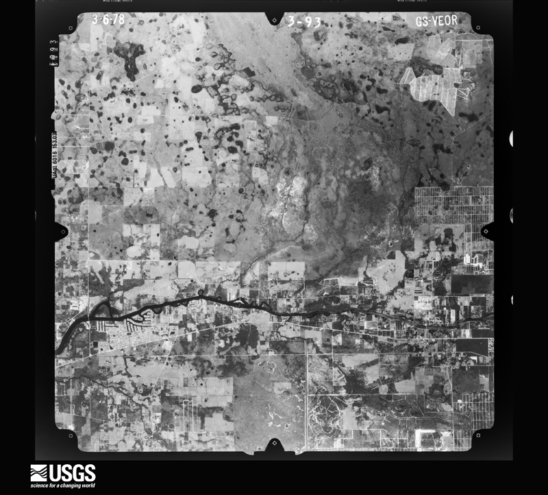
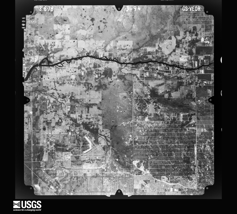
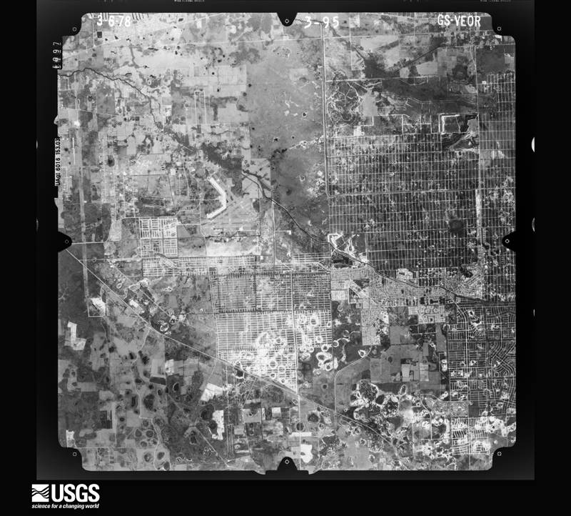
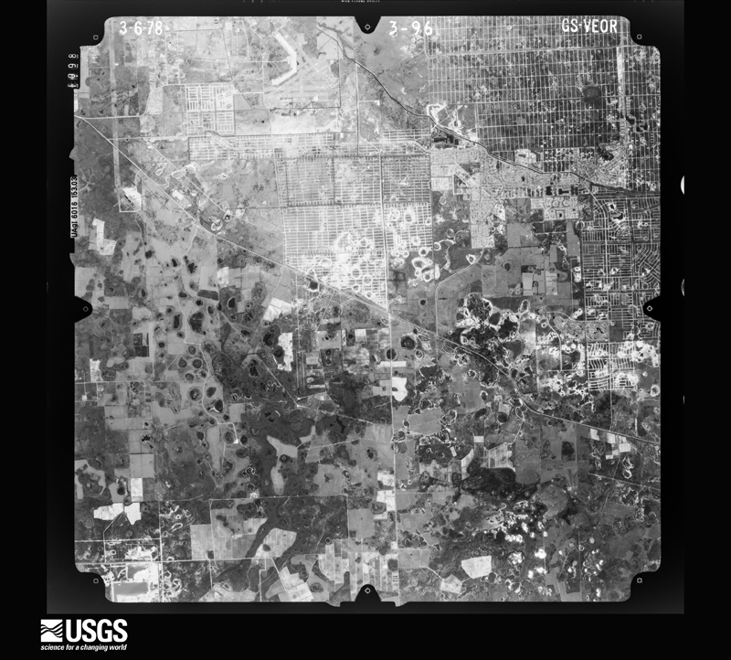
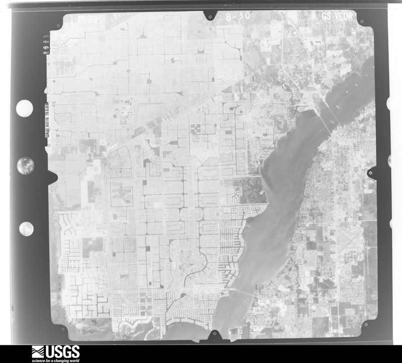
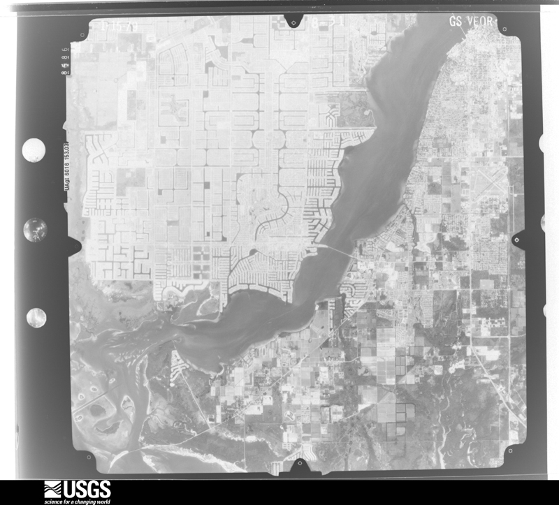
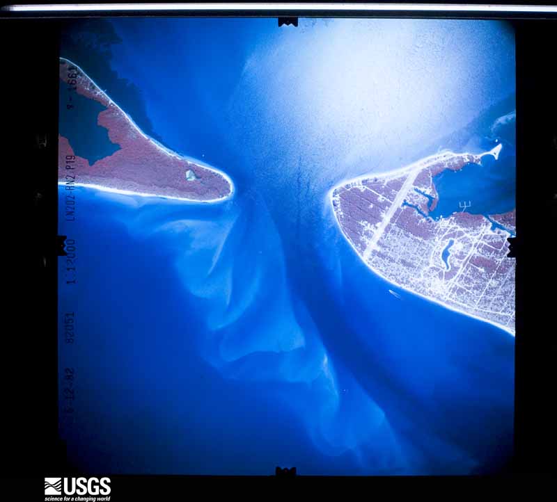
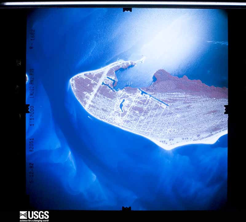
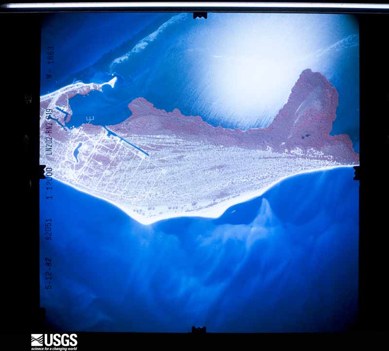
Flown by the U.S. Geological Survey between 1937 and 1989, the Aerial Photo Single Frames collection is the definitive mid-century view of the land: fields, roads and rivers as the camera saw them. The Survey holds 1,351 frames inside the rectangle that bounds this county; the 48 frames below were taken over the county itself, chosen across the decades of flights (at most four a year from that rectangle), so one flight cannot crowd out the rest. The full set is free to browse and download at EarthExplorer under the dataset Aerial Photo Single Frames.
The thermometers that kept this county's weather, and the gages that measured the flow of its streams, as the federal records hold them. The extremes below are measured values from those records, not estimates.
Who lived here in 1950, one enumeration district at a time, as the Census Bureau described each district. Each row opens its official National Archives result, with Population Schedules and ED Maps available there.
Every wildfire the federal occurrence database records inside this county: 2,990 of them, burning about 47,510 acres. 892 started naturally and 227 were recorded as arson. Each settlement page carries the fires within five miles of it.
| Reported cause | Fires |
|---|---|
| Natural | 892 |
| Railroad operations and maintenance | 605 |
| Missing data/not specified/undetermined | 481 |
| Equipment and vehicle use | 263 |
| Arson/incendiarism | 227 |
| Misuse of fire by a minor | 159 |
| Debris and open burning | 142 |
| Recreation and ceremony | 89 |
| Power generation/transmission/distribution | 53 |
| Fireworks | 42 |
| Smoking | 31 |
| Other causes | 6 |
The five largest, by the area the report gives. None of them was recorded as arson.
| Date | Cause | Size | Reported by | Name on the report |
|---|---|---|---|---|
| 27 June 2007 | Natural | 2,400 acres | Florida Forest Service | 36/ANDALUSIA-PALMETTO FIRE |
| 29 May 2004 | Missing data/not specified/undetermined | 1,660 acres | Florida Forest Service | BEN HILL GRIFFIN |
| 23 March 1999 | Railroad operations and maintenance | 1,425 acres | Florida Forest Service | not named |
| 29 April 2006 | Missing data/not specified/undetermined | 1,177 acres | Florida Forest Service | 36/DIVISION B |
| 29 April 2007 | Missing data/not specified/undetermined | 1,148 acres | Florida Forest Service | 36/ CHEROKEE ROAD |
| 1 June 2004 | Natural | 862 acres | Florida Forest Service | LOST FIRE |
| 30 June 1998 | Railroad operations and maintenance | 800 acres | Florida Forest Service | not named |
| 19 April 1998 | Railroad operations and maintenance | 800 acres | Florida Forest Service | not named |
Every settlement page carries the fires within five miles of it - see the settlement index below.
The NOAA Storm Events Database holds 652 reports for this county, causing 21 deaths, 66 injuries and about $570,541,340 in recorded property damage. Each settlement page carries the reports that name it.
| Kind of event | Reports |
|---|---|
| Thunderstorm Wind | 229 |
| Tornado | 126 |
| Hail | 122 |
| Lightning | 57 |
| Flood | 39 |
| Waterspout | 18 |
| Heavy Rain | 15 |
| Funnel Cloud | 15 |
| Flash Flood | 11 |
| Wildfire | 11 |
| Dust Devil | 3 |
| Heat | 3 |
| Rip Current | 2 |
| High Wind | 1 |
The most serious of them, by death, then injury, then recorded damage. The accounts are quoted exactly as the forecast office filed them.
| When | Event | Place named | Harm | What the report says |
|---|---|---|---|---|
| August 2005 | Lightning | Ft Myers | 2 killed, 1 hurt | Lightning from a fast-moving thundertstorm killed two Fort Myers roofers and injured a third as they were getting ready to go home for the day. |
| March 1997 | Rip Current | Ft Myers | 2 killed | Two girls, ages nine and twelve, were swept out to sea by a rip current at Boca Grande Pass. |
| July 2014 | Lightning | Ft Myers Beach | 1 killed, 2 hurt | Local law enforcement and media reported a lightning strike on Fort Myers Beach. Three people were walking on the beach with thunderstorms in the area. A 41 year old male was struck and killed. Two others were injured, one critically, and were transported to a local hospital. |
| July 2021 | Lightning | Sanibel | 1 killed, 1 hurt | A family of four was on the beach at Sanibel Island as a thunderstorm moved overhead. Unfortunately a lightning strike hit the father and he died of his injuries. |
| June 2017 | Lightning | Fort Myers | 1 killed, 1 hurt | Local broadcast media reported that a 9 month pregnant woman was struck by lightning in a neighborhood in Fort Myers. She was transported to a local hospital. After arriving at the hospital, doctors delivered the baby. After a few weeks in intensive care, the child passed away. The mother was eventually released from the hospital and is back home recovering from her injuries. |
| May 2015 | Lightning | Bonita Spgs | 1 killed, 1 hurt | Two men working on a roof were struck by lightning. They stopped working when it began to rain but returned shortly after the rain had stopped. Neighbors said that the lightning strike hit a roofer directly in the head knocking him unconscious. That bolt then transferred to another worker who was just steps away. They were transferred to a local hospital to be treated for their injuries. The man who was struck directly died from his injuries three days later. |
| October 1960 | Tornado (F2) | not stated | 1 killed, $2,500 | no account filed |
| July 2016 | Lightning | Coconut | 1 killed | A 35 year old man was struck by lightning while working on the 6th floor lanai of a building under construction. Witnesses said that this was the only lightning strike seen or heard in the area from the storm. Attempts to resuscitate the man were unsuccessful, and he died at the scene. |
| October 2012 | Lightning | Pine Manor | 1 killed | An 11 year old student was struck by lightning during football practice at around 4:30 pm EDT on the 3rd, right after taking the field. The student died on the afternoon of the 7th after he was removed from life support. |
| September 2007 | Lightning | Fort Myers | 1 killed | A 53-year-old man was struck by lightning while standing on a pier on the Caloosahatchee River near Freemont Street. He was taken to the hospital and died the next day. |
| September 2006 | Lightning | Lehigh Acres | 1 killed | Lightning struck a tree and killed a 13-year-old boy who was standing nearby. The boy was among a group of kids playing at a popular swimming hole at Ocean Park Drive. It was not raining at the time of the strike. |
| April 2005 | Lightning | Bonita Spgs | 1 killed | A golfer was struck while walking on the fairway toward a ball. The sun was shining at the golf course at the time of the strike but isolated thunderstorms were moving onshore near the course. |
| May 2004 | Lightning | Ft Myers | 1 killed | A man was struck by lightning while playing golf. The lightning strike entered in his stomach and exited out his foot. It was not raining at the golf course when the lightning strike occurred, however dark clouds were nearby. |
| August 2003 | Lightning | Ft Myers | 1 killed | Lightning struck and killed a 23 year old man while he was playing soccer at Billy Bowlegs Park in Fort Myers. |
| August 2002 | Lightning | Bonita Spgs | 1 killed | Field worker preparing a field for tomatoes was struck and killed. |
| August 2001 | Rip Current | Sanibel | 1 killed | A 65 year old male drowned in a rip current at Lighthouse Beach on Sanibel Island. |
| June 1998 | Heat | Ft Myers | 1 killed | The Lee County Health Department reported that an eleven month old female, left unattended in an unventilated, non-airconditioned room, died from the affects of heat in Ft Myers. |
| June 1998 | Heat | North Ft Myers | 1 killed | The Lee County Health Department reported that a 44 year-old male died from the combined affects of heat and alcohol in an enclosed parked van in North Ft Myers. |
| June 1998 | Heat | North Ft Myers | 1 killed | The Lee County Health Department reported that 46 year-old man was found dead from the affects of heat and alcohol in the back of a closed van on the 15000 block of North Cleveland Avenue. |
| August 1986 | Tornado (F2) | not stated | 12 hurt, $2,500,000 | no account filed |
| February 1995 | Thunderstorm Wind | Leesburg | 10 hurt, $10,000 | Thunderstorm winds uprooted several large pecan trees. Two mobile homes were blown over and several power lines were downed. |
| September 1991 | Tornado (F1) | not stated | 7 hurt, $250,000 | no account filed |
| January 2016 | Tornado (EF2) | Matlacha | 3 hurt, $2,000,000 | NWS Storm Survey revealed EF-2 tornado damage in the western sections of Cape Coral. The tornado damaged 178 structures in total. One home was completely destroyed while 14 sustained major damage and another 163 sustained minor damage. The minor damage mainly consisted of roof damage and destroyed pool cages. Over 100 power poles were knocked down along the tornado's path along with many trees. The tornado injured three people while it was on the ground for about 7 minutes. |
| July 1996 | Tornado (F0) | Cape Coral | 2 hurt, $250,000 | no account filed |
| February 1965 | Tornado (F1) | not stated | 2 hurt, $25,000 | no account filed |
| August 2009 | Lightning | Cape Coral | 2 hurt | Two women were struck by lightning during a storm that moved over Cape Coral. One 40-year-old woman felt lightning move through her arm as she was holding an umbrella next to a truck. Another 34-year-old woman felt lightning come through her keyboard while she was on her computer. Both were transported to the hospital in stable condition. |
| April 1993 | Thunderstorm Wind | Fort Myers Beach | 1 hurt, $5,000,000 | The metal roof of a boat dry storage building was blown off at Fort Myers Beach Marina causing an estimated $750,000 damage to the building and 17 boats inside or nearby the building. One male sleeping onboard a boat received minor injuries. Several mobile homes east of the marina received roof, carport, and screened porch damage. The Coast Guard station nearby observed a gust to 59 mph at 0146 EST. |
| October 1993 | Tornado (F1) | not stated | 1 hurt, $5,000,000 | A tornado hit the Imperial Lakes Mobile Home Park. 54 mobile homes were damaged including 37 which suffered substantial damage. One person was injured by flying glass. |
| September 2007 | Tornado (EF1) | Cape Coral | 1 hurt, $4,000,000 | Thunderstorms continued to develop northward along the sea breeze front and produced a tornado that traveled due north from near the intersection of Rose Garden and and El Dorado Parkway West to near Skyline Boulevard and Veterans memorial Parkway. The damage path was less than the size of a single family home for most of the track and the average wind speed based on the damage was 65-75 MPH. The EF1 damage was of a home nearly cut in half by the tornado with wind speeds estimated at 105 MPH. The lower than expected wind estimate was a result of older building codes and the roof blowout occurred as a result of a large picture window being blown in. About 138 homes were damaged. Six homes received moderate damage and one home was destroyed. The tornado snapped several power poles and damaged numerous fences, sheds and trees. Several vehicles and boats were flipped over. There was one injury as a gentleman looked outside to see the tornado and was struck by debris. Thirty people were displaced from their homes. Damage estimates were based on a survey completed by Cape Coral Emergency Management. |
| August 1986 | Tornado (F1) | not stated | 1 hurt, $2,500,000 | no account filed |
| December 2021 | Tornado (EF1) | Fort Myers Villas | 1 hurt, $750,000 | Dozens of homes had roof damage and numerous trees and large branches|broken near and along the path of the tornado. One minor injury was|reported due to broken glass and several pool enclosures and vehicles were|also damaged. Initial estimated damages exceed $500K. Damaging winds|continued past the initial tornado damage due to gradient winds. |
| August 2006 | Lightning | Cape Coral | 1 hurt, $114,000 | Sixteen single family homes were damaged by flying debris and reverberations caused by an explosion of a 40 foot decaying pine tree due to a lightning strike. The expanding steam and resin from the wet but dead tree created a one block debris field. The explosion from the strike shattered windows, lifted roofs, caved ceilings, dented cars, and bent fences. A 14-foot long trench about a half a foot deep was formed as the roots exploded. In all, 29 windows were broken and 2 homes reported damage of $30,000 or more. One man was treated for minor injuries. |
| April 2017 | Tornado (EF0) | Punta Rassa | 1 hurt, $110,000 | Emergency management reported and broadcast media received video of a tornado that crossed the southern point of Pine Island. The tornado then became a waterspout as it moved east and into Fort Myers towards Lakes Regional Park. In Fort Myers, the tornado destroyed one mobile home, damaged trees, fences, and car ports, and lifted a metal dock out of the water at Lakes Regional Park. One person sustained minor injuries. |
| June 2008 | Tornado (EF1) | Bayshore Manor | 1 hurt, $100,000 | Fourty four mobile homes had minor damage to roofs, carports and lanais. Ten mobile homes had moderate damage to roofs and portions of walls. One un-anchored single-wide mobile home was pushed 5 feet from its original position, with the roof blown off and exterior walls partially collapsed. One double-wide mobile home had complete structural failure of a well-constructed outer wall and roof section. Most of the damage was in the high-end EF0 range, with a small pocket of low-end EF1 damage. Wind speeds were estimated between 75-100mph. |
| August 1979 | Tornado (F0) | not stated | 1 hurt, $25,000 | no account filed |
| August 1995 | Thunderstorm Wind | Ft. Myers | 1 hurt, $20,000 | The roof of the Tiki Bar at Del Prado Inn collapsed and injured one person. A boat was damaged, and many power lines were downed by the thunderstorm winds. |
| July 2004 | Lightning | Ft Myers | 1 hurt, $5,000 | A woman watching fireworks in front of her home was indirectly struck in the head by lightning. The the main bolt of lightning struck a power pole near her yard. The energy from the bolt traveled down the power line to her home, then to her. A small fire resulted at the woman's home where the power line entered the house. |
| June 1964 | Tornado (F2) | not stated | 1 hurt, $2,500 | no account filed |
| August 1998 | Lightning | North Ft Myers | 1 hurt, $1,000 | Lightning struck and shattered an eight foot antenna of a boat on the Caloosahatchee River in North Ft. Myers. A 64 year old male was treated for minor electrical burns on his neck, left arm and shoulder. |
| July 2017 | Lightning | Southwest International Airport | 1 hurt | Broadcast media reported that lightning struck an airplane at Southwest Florida International Airport, injuring a person standing nearby. |
| September 2003 | Lightning | (Fmy)Ft Myers Page F | 1 hurt | A man in rural Lee County was struck by lightning, taken to the hospital, then released. |
| June 2000 | Tornado (F0) | Boca Grande | 1 hurt | A Skywarn Spotter reported that a waterspout came onshore as a tornado at the south end of Gasparilla Island. One man was injured by flying debris from the tornado before it lifted and dissipated. |
| August 2000 | Lightning | Sanibel | 1 hurt | A woman was struck and injured by lightning while walking under a tree in a parking lot on Sanibel Island. The lightning strike knocked the woman unconscious and left her with burns on her feet. The lightning victim was resuscitated and regained consciousness, but could not speak following the strike. |
| August 1999 | Lightning | Sanibel | 1 hurt | A man was injured by the sideflash of lightning that struck a nearby tree as he walked across a foot bridge at Bowman's Beach on Sanibel Island. |
| July 1998 | Lightning | Cape Coral | 1 hurt | Lightning struck and injured a 42 year old man that was boating near Cabbage Key. The man suffered full cardiac arrest from the lightning strike and was later resuscitated with CPR administered by a nurse. |
| August 1997 | Lightning | North Ft Myers | 1 hurt | A 14 year old male was injured by a sideflash of lightning that first struck a nearby tree. The youth reported numbness on one side of his body after seeking medical care. |
| July 1997 | Lightning | Bonita Spgs | 1 hurt | A 52 year old man was injured when lightning struck an industrial trash bin approximately five feet from where he was standing at the First Baptist Church of Bonita Springs. |
| June 1992 | Thunderstorm Wind | not stated | 1 hurt | no account filed |
| September 2017 | Flood | Bonita Spgs | $500,000,000 | Heavy rains from Hurricane Irma on the 10th and 11th cause water levels to rise on the Imperial River in southern Lee county to rise, resulting in flooding of hundreds of homes in Imperial Bonita Estates and the surrounding areas. ||Flood damage from Irma in Lee County was roughly estimated at $500 million. |
| January 2022 | Tornado (EF2) | Punta Rassa | $10,000,000 | Iona/Fort Myers tornado. A waterspout first identified just northwest of Fort Myers Beach moved ashore as a tornado and pushed through the Iona area near Fort Myers producing EF-2 damage with peak winds estimated around 118 mph before dissipating near the Cape Coral bridge. Over 200 residences suffered damage across three separate mobile home communities (Point Breeze, Tropicana, and Century 21), with 45 destroyed, 90 sustaining major damage and another 92 with minor damage. 3 people suffered minor injuries. Damage estimates totaled around $10 million USD. |
| March 1993 | Thunderstorm Wind | Bonita Springs | $5,000,000 | Strong winds blew down trees and power lines over an extensive area and ripped the roof of a 7-story building three-quarters of the way off. |
| March 1993 | Thunderstorm Wind | Fort Myers | $5,000,000 | Page Field Airport measured a wind gust to 59 mph at 0302 EST. Traffic signals and signs were blown down in San Carlos, with damage to homes and business buildings in Cape Coral and North Fort Myers. Southwest Florida Regional Airport recorded a gust to 69 mph at 0303 EST. |
| July 1989 | Tornado (F2) | not stated | $2,500,000 | no account filed |
| November 1988 | Tornado (F2) | not stated | $2,500,000 | no account filed |
| October 1982 | Tornado (F1) | not stated | $2,500,000 | no account filed |
| September 2000 | Tornado (F1) | Sanibel | $2,000,000 | A fast moving tornado, on the low end of the F1 scale, associated with an outer band of hurricane Gordon, touched down along East Gulf Drive, two miles east of Sanibel on Sanibel Island, and caused extensive damage to two condominium complexes, two dozen nearby homes and lanais. The tornado moved north northwest and sporadically touched down along rural County Road 767 on Pine Island in western Lee county. The tornado damaged the roofs of a few homes, carports and toppled or snapped palm trees along it's path. The tornado lifted and dissipated near Bokeelia on the north side of Pine Island. Residents in the path of the tornado in Sanibel indicated that they heard the sound of roaring train and their ears felt an air pressure change as it passed overhead. |
| September 2000 | Tornado (F1) | Sanibel | $1,000,000 | A tornado, on the high end of the F1 scale, associated with an outer band of Hurricane Gordon, touched down on the south side of Sanibel Island and rapidly moved north northwest across Periwinkle Way where it removed roofs, destroyed lanais, downed trees, power lines and large branches across the island. The tornado then moved over southern Pine Island where it widened to nearly 200 feet in width and uprooted or stripped numerous mangrove trees. The tornado continued rapidly north northwest along and east of County Road 767 until it moved over Little Pine Island. The tornado caused significant roof damage to two businesses and at least ten homes, carports, garages and lanais along Pine Island Road, west of Matlacha, before it dissipated on the northern side of Little Pine Island. Also, more than a dozen trees were uprooted and five utility poles downed by the tornado along Pine Island Road near west of Matlacha. Residents along Pine Island Road indicated that the torndo sounded like a loud machine or train as it passed overhead. |
| February 2000 | Wildfire | Lehigh Acres | $750,000 | no account filed |
| August 1998 | Lightning | Ft Myers | $645,000 | Lightning struck and burned to the ground an upscale home on the 14400 block of Hickory Fairway Court near the intersection of Interstate 75 and Daniels Parkway. |
| October 2019 | Tornado (EF1) | Cape Coral | $600,000 | A tornado touched down in northwest Cape Coral, damaging 18 homes and several vehicles. Most of the damage to homes involved partial roof damage, and fascia, siding, and awnings being blown off the homes. A couple of cars were rolled over, totaling the vehicles. No injuries were reported. |
The Survey's mineral resources record lists 17 workings inside this county. 16 still produce and 1 is closed or unrecorded. Each settlement page carries the workings within five miles of it.
| Commodity | Workings |
|---|---|
| Stone, Crushed/Broken | 9 |
| Limestone, General | 7 |
| Sand | 1 |
The least common of them first, because a county's hundredth gravel pit says nothing its first ten did not.
| Where | Site | Commodity | Status | Recorded |
|---|---|---|---|---|
| Youngquist Brothers Rock - Corkscrew Woods | Sand | Producer | ||
| Fl Rock Ind.,Inc.(Ft. Myers Plant) | Limestone, General | Producer | Limestone | |
| Florida Rock Industries - Ft. Myers Mine | Limestone, General | Producer | Limestone | |
| Fugate Constr. - Number One Mine | Limestone, General | Producer | Limestone | |
| Harper Bros.,Inc.(Alico Plant) | Limestone, General | Producer | Limestone | |
| Harper Brothers - Colonial Mine | Limestone, General | Producer | Limestone | |
| Harper Brothers - Nelson Shell Pit | Limestone, General | Producer | Limestone | |
| Stephens Const. Mat. Contractors | Limestone, General | Producer | Limestone | |
| Alva Pit | Stone, Crushed/Broken | Producer | ||
| Bonita Pit | Stone, Crushed/Broken | Producer | ||
| Colonial Dolomite Pit | Stone, Crushed/Broken | Producer | ||
| Edison Pit | Stone, Crushed/Broken | Past Producer | ||
| Estero Quarry | Stone, Crushed/Broken | Producer | ||
| Fort Meyers Quarry | Stone, Crushed/Broken | Producer | ||
| Fugate Mine No. 1 | Stone, Crushed/Broken | Producer | ||
| Pit 12-026 | Stone, Crushed/Broken | Producer | ||
| Triple C Pit | Stone, Crushed/Broken | Producer |
Named settlements recorded in the Geographic Names Information System, each with the topographic sheets covering it. Villages, hamlets and abandoned places alike. Each is shown with the nearest named watercourse or landform and the survey quadrangle it falls on.
Fort Myers census division · 33905 · Near Midway Island · Fort Myers quadrangle
14 sheets, 1956 to 1987
Fort Myers Shores census division · 33920 · On Bedman Creek · Alva quadrangle
13 sheets, 1956 to 1987
Fort Myers census division · 33931 · Fort Myers Beach quadrangle
14 sheets, 1956 to 1987
North Fort Myers census division · 33917 · On Stroud Creek · Fort Myers quadrangle
14 sheets, 1956 to 1987
North Fort Myers census division · 33917 · On Powell Creek · Fort Myers quadrangle
14 sheets, 1956 to 1987
Boca Grande census division · 33921 · Near Three Sisters Island · Port Boca Grande quadrangle
13 sheets, 1956 to 1981
Pine Island census division · 33922 · Near Howard Mound · Bokeelia quadrangle
14 sheets, 1956 to 1994
Bonita Springs census division · 34134 · On Imperial River · Bonita Springs quadrangle
14 sheets, 1956 to 1987
Bonita Springs census division · 34135 · On Leitner Creek · Bonita Springs quadrangle
14 sheets, 1956 to 1987
Cape Coral census division · 33955 · On Yucca Pen Creek · Punta Gorda SE quadrangle
13 sheets, 1956 to 1981
Cape Coral census division · 33914 · Fort Myers SW quadrangle
15 sheets, 1956 to 1987
No longer a settlement
Sanibel Island census division · 33924 · On Captiva Island · Captiva quadrangle
14 sheets, 1956 to 1994
Sanibel Island census division · 33922 · Near Faulkner Mound · Captiva quadrangle
14 sheets, 1956 to 1994
Boca Grande census division · 33921 · Near Devilfish Key · Punta Gorda SW quadrangle
12 sheets, 1956 to 1981
Fort Myers Shores census division · 33920 · On Spanish Creek · Alva quadrangle
13 sheets, 1956 to 1987
Bonita Springs census division · 34134 · Near Monkey Joe Key · Estero quadrangle
15 sheets, 1956 to 1987
Bonita Springs census division · 33928 · On Halfway Creek · Estero quadrangle
15 sheets, 1956 to 1987
Pine Island census division · 33956 · Near Pine Island · Pine Island Center quadrangle
14 sheets, 1956 to 1981
Bonita Springs census division · 33908 · Estero quadrangle
15 sheets, 1956 to 1987
Fort Myers census division · 33901 · Near Lofton Island · Fort Myers quadrangle
14 sheets, 1956 to 1987
Estero Island census division · 33931 · Near San Carlos Island · Fort Myers Beach quadrangle
14 sheets, 1956 to 1987
Fort Myers Shores census division · 33905 · On Trout Creek · Olga quadrangle
13 sheets, 1956 to 1987
Fort Myers census division · 33907 · Fort Myers SE quadrangle
14 sheets, 1956 to 1987
Fort Myers census division · 33908 · Fort Myers SW quadrangle
15 sheets, 1956 to 1987
Cape Coral census division · 33903 · On Hancock Creek · Fort Myers NW quadrangle
14 sheets, 1956 to 1987
Pine Island census division · 33993 · Near Porpoise Point Island · Matlacha quadrangle
12 sheets, 1956 to 1981
Cape Coral census division · 33993 · Near Porpoise Point Island · Matlacha quadrangle
12 sheets, 1956 to 1981
Cape Coral census division · 33991 · Near Porpoise Point Island · Matlacha quadrangle
12 sheets, 1956 to 1981
Fort Myers census division · 33919 · On Whiskey Creek · Fort Myers SW quadrangle
15 sheets, 1956 to 1987
Fort Myers census division · 33905 · On Orange River · Fort Myers quadrangle
14 sheets, 1956 to 1987
North Fort Myers census division · On Powell Creek · Fort Myers NW quadrangle
14 sheets, 1956 to 1987
Fort Myers Shores census division · 33905 · On Otter Creek · Olga quadrangle
13 sheets, 1956 to 1987
Fort Myers census division · 33916 · Near Ward Island · Fort Myers quadrangle
14 sheets, 1956 to 1987
North Fort Myers census division · 33903 · On Yellow Fever Creek · Fort Myers NW quadrangle
14 sheets, 1956 to 1987
Pine Island census division · 33922 · Near Big Panther Key · Pine Island Center quadrangle
14 sheets, 1956 to 1981
Fort Myers census division · 33907 · On Whiskey Creek · Fort Myers SW quadrangle
15 sheets, 1956 to 1987
Pine Island census division · 33922 · Near Black Key · Bokeelia quadrangle
14 sheets, 1956 to 1994
North Fort Myers census division · 33917 · On Daughtrey Creek · Fort Myers quadrangle
14 sheets, 1956 to 1987
Boca Grande census division · 33921 · Port Boca Grande quadrangle
13 sheets, 1956 to 1981
Fort Myers census division · 33908 · Near Fisherman Key · Sanibel quadrangle
13 sheets, 1956 to 1981
Pine Island census division · 33956 · Near Sister Keys · Sanibel quadrangle
13 sheets, 1956 to 1981
North Fort Myers census division · 33917 · On Powell Creek · Fort Myers quadrangle
14 sheets, 1956 to 1987
Fort Myers census division · 33908 · Near Little Shell Island · Fort Myers SW quadrangle
15 sheets, 1956 to 1987
North Fort Myers census division · 33917 · Fort Myers quadrangle
14 sheets, 1956 to 1987
Fort Myers Shores census division · 33920 · On Telegraph Creek · Olga quadrangle
13 sheets, 1956 to 1987
Fort Myers census division · 33905 · Near Midway Island · Fort Myers quadrangle
14 sheets, 1956 to 1987
Fort Myers census division · 33908 · Near Connie Mack Island · Fort Myers Beach quadrangle
14 sheets, 1956 to 1987
Sanibel Island census division · 33924 · Near North Captiva Island · Captiva quadrangle
14 sheets, 1956 to 1994
Cape Coral census division · 33903 · On Hancock Creek · Fort Myers NW quadrangle
14 sheets, 1956 to 1987
Fort Myers census division · 33919 · On Whiskey Creek · Fort Myers SW quadrangle
15 sheets, 1956 to 1987
Sanibel Island census division · 33957 · Near Albright Key · Wulfert quadrangle
14 sheets, 1956 to 1981
The vanished settlements of Lee County: the places named above that are no longer on the map.