 Block
BlockBowden, Florida
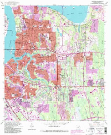
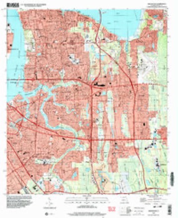
23 topographic sheets cover this place, the earliest surveyed in 1918 and the latest in 1994. It stands in the Jacksonville East census division. It lies in ZIP code area 32216. It stands on Christopher Creek. The Survey maps it on the Arlington quadrangle.
Then and now
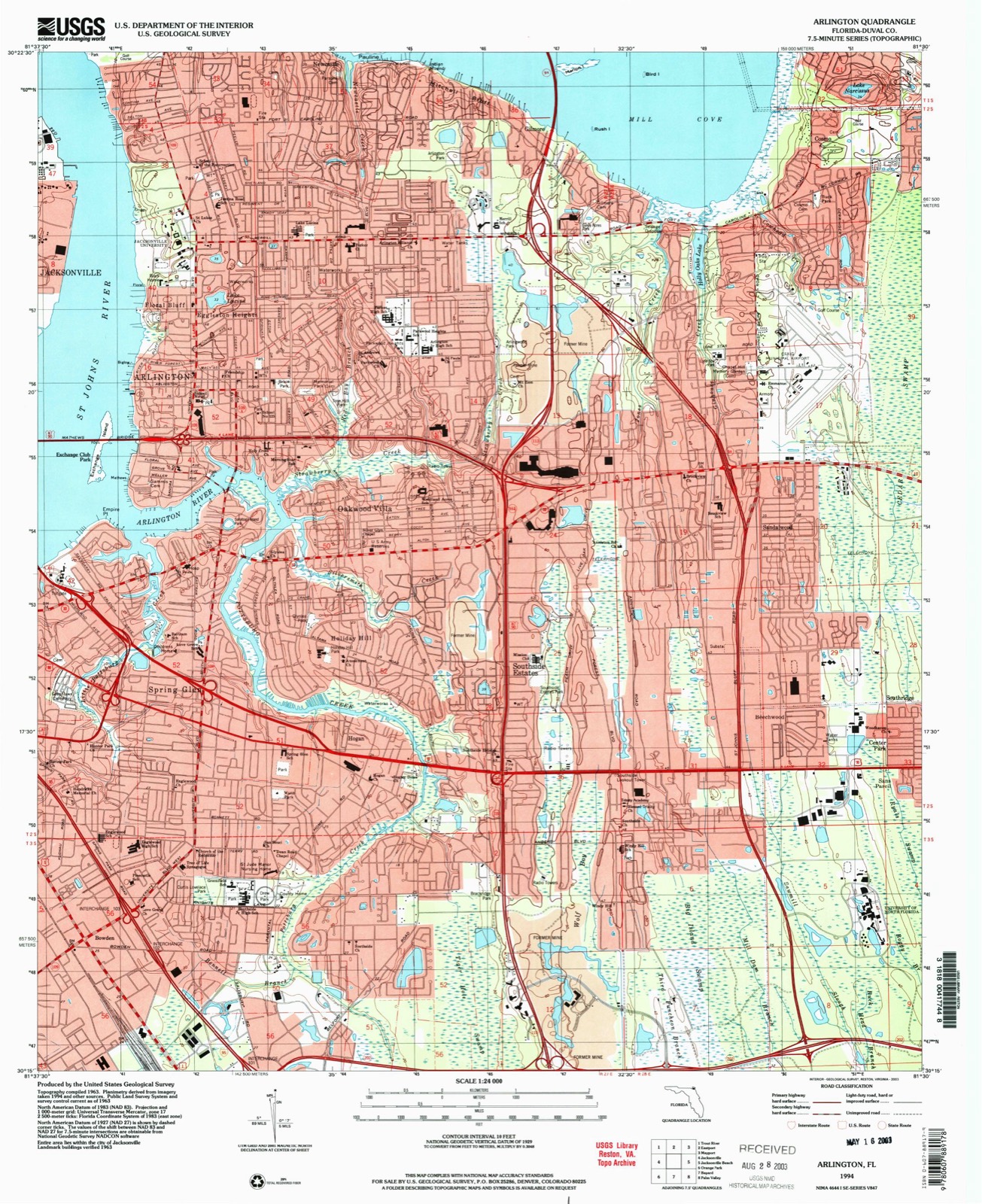
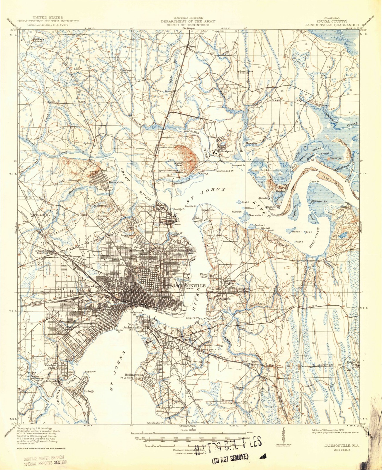
1918 to 1994The same ground, surveyed 76 years apart. Drag the handle to wipe between them. Both sheets are United States Geological Survey originals; neither has been altered.
Compare 1918 against another survey:
Topographic sheets covering this place
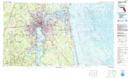
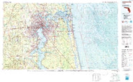
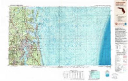
11 surveys from 23 printed sheetsMatched by testing this settlement's coordinate against the published boundary of every sheet in the United States Geological Survey's historical collection. Each opens the scanned sheet at the Survey.
- 1918 USGS Jacksonville quadrangle1:62500, 5 printings
- 1948 USGS Jacksonville quadrangle1:250000
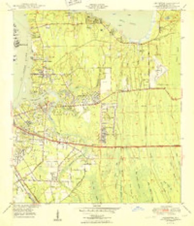
- 1950 USGS Arlington quadrangle1:24000, 2 printings
- 1957 USGS Jacksonville quadrangle1:250000, 3 printings
- 1959 USGS Jacksonville quadrangle1:250000
- 1960 USGS Jacksonville quadrangle1:250000
- 1963 USGS Arlington quadrangle1:24000, 6 printings
- 1977 USGS Jacksonville quadrangle1:100000
- 1980 USGS Jacksonville quadrangle1:100000
- 1988 USGS Jacksonville quadrangle1:250000
- 1994 USGS Arlington quadrangle1:24000
Fires near this place
42 since 1992Regional context, not property-specific evidence. The federal wildfire occurrence database lists 42 fires within 5 miles of Bowden between 1992 and 2017, burning about 165 acres in total. 3 started naturally. 8 were recorded as arson. Distance is straight-line from the map coordinates, so a fire counted here may appear on a neighbouring settlement's page as well.
| Reported cause | Fires |
|---|---|
| Equipment and vehicle use | 17 |
| Misuse of fire by a minor | 9 |
| Arson/incendiarism | 8 |
| Natural | 3 |
| Railroad operations and maintenance | 2 |
| Missing data/not specified/undetermined | 2 |
| Recreation and ceremony | 1 |
The most recent of them, most recent first, with the day each was reported and the service that recorded it.
| Date | Cause | Size | Reported by | Name on the report |
|---|---|---|---|---|
| 2 September 2011 | Misuse of fire by a minor | 1.0 acres | Florida Forest Service | SAN DIEGO 2 (16) |
| 29 August 2011 | Arson/incendiarism | under an acre | Florida Forest Service | SAN DIEGO(16) |
| 2 August 1993 | Railroad operations and maintenance | 5.0 acres | Florida Forest Service | not named |
| 9 July 1998 | Equipment and vehicle use | under an acre | Florida Forest Service | not named |
| 12 July 1998 | Natural | 3.0 acres | Florida Forest Service | not named |
| 6 June 2015 | Misuse of fire by a minor | 3.0 acres | Florida Forest Service | ANDERS RD (16) |
| 4 June 1993 | Equipment and vehicle use | 2.5 acres | Florida Forest Service | not named |
| 21 June 1998 | Missing data/not specified/undetermined | 2.0 acres | Florida Forest Service | not named |
Settlements close enough to share some of these fires:
Mines and quarries near this place
2 within 5 milesRegional context, not property-specific evidence. The federal mineral resources record lists 2 workings within 5 miles of Bowden: 1 producer, 1 past producer. 1 still produces. What was taken out: Titanium-Heavy Minerals, Titanium, Zirconium. Distance is straight-line from the map coordinates, so a quarry counted here may appear on a neighbouring settlement's page as well.
| Where | Site | Commodity | Status | Recorded |
|---|---|---|---|---|
| Humphries Gold Corp Mine | Titanium, Zirconium | Past Producer | ||
| Jacksonville Placer | Titanium-Heavy Minerals | Producer | Rutile, Zircon, Ilmenite |
Storms near this place
34 since 2003Regional context, not property-specific evidence. The National Weather Service names Bowden in 34 storm reports between 2003 and 2025: 14 thunderstorm wind, 6 heavy rain, 4 hail, 4 lightning. No death or injury is recorded in these reports. Each account below is quoted exactly as the forecast office filed it, from the NOAA Storm Events Database, and each date opens the federal record of that event.
| When | Event | Place named | Harm | What the report says |
|---|---|---|---|---|
| June 2017 | Lightning | Bowden | $20,000 | A lightning strike caused an apartment fire. The cost of damage was unknown, but it was estimated so the event could be included in Storm Data. |
| August 2012 | Lightning | Bowden | $10,000 | A structure fire was caused at the 2900 block of Iseer Court in Mandarin. The cost of damage was estimated. |
| August 2017 | Lightning | Bowden | $5,000 | A home was struck by lightning on Schumacher Avenue. Smoke was detected but fire was not yet observed. The cost of damage was unknown, but it was estimated so the event could be included in Storm Data. |
| August 2022 | Lightning | Bowden | $3,000 | Lightning struck an electrical pole and a transformer. This caused the transformer to leak oil onto the pavement. The cost of damage was unknown but estimated for inclusion of the event in Storm Data. It is likely an underestimate. |
| July 2025 | Thunderstorm Wind | Bowden | $2,000 | Duval county fire rescue reported a tree was blown down on an apartment building at the Woodland Apartment Complex along Art Museum Drive. The time of damage was based on radar. The cost of damage was unknown, but it was estimated for inclusion of the event in Storm Data. |
| July 2021 | Thunderstorm Wind | Bowden | $2,000 | At 5:10 pm EDT, the broadcast media reported trees and power lines down across the road at the intersection of University Blvd and Interstate 95, which caused power outages. The cost of damage was estimated for inclusion of the event in Storm Data. |
| July 2025 | Thunderstorm Wind | Bowden | $1,000 | A video of a powerline coming down at the | intersection of Philips Hwy and Emerson St | was relayed via broadcast media. Duval | County Watch Office reported that | Jacksonville experienced an electrical | outage affecting an estimated 4,833 JEA | customers. Multiple locations in | Jacksonville are reporting power outages. | Time was estimated by radar. The cost of damage was unknown but estimate for inclusion of the event in Storm Data. |
| July 2016 | Thunderstorm Wind | Bowden | $1,000 | A large oak tree was blown down along San Jose Blvd. The cost of damage was unknown but estimated for the even to be included in Storm Data. |
| June 2015 | Thunderstorm Wind | Bowden | $1,000 | A large tree was blown down near Hendricks Avenue and Southside United Methodist Church. Damage estimated. |
| August 2025 | Heavy Rain | Bowden | - | A personal Weather Station San Marco - KFLJACKS24 reported 2.8 inches of rainfall from 3:29 pm to 4:29 pm. |
| June 2025 | Flash Flood | Bowden | - | Flash flooding was observed across portions of Downtown Jacksonville and the San Marco area especially along Hendricks Ave, Independent Dr, San Marco Blvd and Riviera St. Floodwaters were reported to be entering businesses along Hendricks Ave. Cars were stalled in floodwaters near Baptist medical Center Jacksonville and along Riviera St and Larue Ave. Floodwaters went up to the undercarriage of cars estimating about 6 inches of standing water. |
| July 2025 | Heavy Rain | Bowden | - | Personal weather station San Marco - KFLJACKS24, received 3.21 inches of rain during the past hour. |
| September 2024 | Heavy Rain | Bowden | - | A personal weather station Shirl - | KFLJACKS4705 measured 6.57 inches of rain. | Rain began around 2 AM. About 4 inches of | rain fell between 630 AM to 1030 AM. |
| June 2024 | Flood | Bowden | - | A NWS employee observed minor street flooding along Hendricks Ave near the intersection with Atlantic Blvd. Water was ponding halfway up the tires of vehicles at least 3-6 inches of water depth. |
| September 2024 | Flash Flood | Bowden | - | At 8:40 AM EDT, an NWS employee reported that there was extensive flooding on Philips Highway and Bowden Road. At 10:40 am, broadcast media shared that flood water inundated a home in Englewood and went up to the person's ankles. Widespread street flooding with numerous cars reported as submerged and stranded along roads or ditches. A swift water rescue was conducted to rescue a person stuck in their flooded car with floodwater up to their steering wheel. Multiple roads were closed due to flooding including Sabena Road and Bowden Rd at Richard St and Cagle Rd. Floodwaters went over car wheels or halfway up cars wheel base along Richard St, Bowden Rd, Barnes Rd, Kegler Dr, Revelstroke Dr, Philips Hwy, Reba Ave, Parental Home Rd, Spring Park Rd, Dean Rd, Belfort Rd, Putnam Ave, Vancouver Dr and portions of University Blvd. |
| July 2023 | Thunderstorm Wind | Bowden | - | A tree was blown down onto power lines. |
| July 2023 | Thunderstorm Wind | Bowden | - | Utility equipment was damaged by strong winds along Spring Park Road. The time of damage was based on radar data. |
| September 2023 | Thunderstorm Wind | Bowden | - | Several large trees were snapped near the base of the trunk near St. Augustine Road near San Jose. Some trees blocked the roads. There was extensive damage to the San Jose Catholic School and the school had to be closed on Tuesday Sept. 12th. The time of damage was based on radar. |
| July 2019 | Thunderstorm Wind | Bowden | - | A convenience store at a sign blown out. |
| July 2017 | Heavy Rain | Bowden | - | The public measured 4.5 inches near Barnes Road and Kennerly Road. |
| September 2017 | Flash Flood | Bowden | - | Historic river and fresh water flooding was reported in San Marco. Pumps under water. Water in homes. Water rescues from swift water rescue teams occurred. |
| April 2015 | Tornado (EF1) | Bowden | - | The tornado moved ashore and pushed just south of Hendricks Elementary snapping trees and power lines. Several structures were impacted by falling trees and limbs. Initial damage was tightly clustered with a path of approximately 200 yards. As the tornado crossed Phillips Highway several businesses sustained roof damage. Trailers in the Pine Oaks mobile home park were damaged as well. The tornado began to track more southeast as it passed I-95 and widened to 350 yards as it neared Englewood High School. At about 5:58 pm, the tornado began to weaken and dissipate. A wide swath of straight line winds continued to cause damage farther to the south and east of the path until shortly after 6 pm. The path width varied from 200-350 yards along a 3.45 mile path. The tornado lasted 5-6 minutes with the maximum wind speeds reached 104 mph. |
| April 2015 | Thunderstorm Wind | Bowden | - | Trees and transformers were blown down near San Jose Blvd and Emerson. |
| May 2014 | Hail | Bowden | - | A photo of half-dollar size hail was reported along University Blvd. |
| May 2014 | Thunderstorm Wind | Bowden | - | Several large tree limbs were blown down near Emerson Street. |
| June 2014 | Thunderstorm Wind | Bowden | - | A large tree was blown down near Dupont Middle School near the intersection of Dupont Avenue and La Mesa Drive. |
| June 2012 | Heavy Rain | Bowden | - | Portions of University Blvd were closed near the intersection of Philips Highway due to significant flooding. |
| June 2012 | Hail | Bowden | - | Quarter size hail was reported at J. Turner Blvd. and Southside Blvd. |
| June 2012 | Heavy Rain | Bowden | - | Reba Street was flooded near Philips Highway and the street was closed. Water was waist deep and property was flooded. The time of the causative event was based on radar. |
| April 2011 | Hail | Bowden | - | Quarter size hail was reported at the intersection of St. Augustine Road and Phillips Highway. |
| February 2008 | Thunderstorm Wind | Bowden | - | Large limbs down on road in the Bolles School area along San Jose Blvd. |
| July 2008 | Flood | Bowden | - | Widespread heavy rainfall within about 2 hours caused street flooding in various locations from Arlington to the Jacksonville west side. Around 8 pm EDT, flooding was reported at Mayfair Road and Beach Boulevard, and stalled cares were noted at Blanding Boulevard and 103rd Street. Around 912 pm EDT, a spotter measured 2.75 inches of rainfall in a two hour period in the Ortega area. At 923 pm EDT, a spotter reported 3 inches of rainfall and one foot of standing water at the corner of Chergboug Avenue South and Busac Drive about 4 miles southwest of Ortega. |
| March 2003 | Hail | Bowden | - | Interchange of Baymeadows Rd. and Interstate 95. |
| July 2019 | Thunderstorm Wind | Bowden | - | no account filed |
Nearest settlements
The eight closest, with where each one stands in the county. Distances are straight-line, computed from the Geographic Names Information System coordinates.
| Map | Place | Distance | Sheets |
|---|---|---|---|
| San Nicolas Palica (historical) | 0.1 miles | 23 | |
| Lakewood | 0.9 miles | 21 | |
| Larsen | 1.1 miles | 21 | |
| San Jose Forest | 1.1 miles | 21 | |
| Englewood | 1.5 miles | 21 | |
| San Jose | 1.6 miles | 22 | |
| South Metro | 1.7 miles | 21 | |
| Pineland Gardens | 2.1 miles | 23 |
Provenance
This settlement is recorded in the Geographic Names Information System as feature 279284. The sheet list is computed by point-in-boundary test against the United States Geological Survey's historical topographic inventory. Both are works of the United States government and carry no copyright under 17 U.S.C. 105.
Wildfire. Short, Karen C. 2022. Spatial wildfire occurrence data for the United States, 1992-2020 [FPA_FOD_20221014]. 6th Edition. Fort Collins, CO: Forest Service Research Data Archive. https://doi.org/10.2737/RDS-2013-0009.6 Collected with United States Government funding and usable without additional permissions or fees.
Mines and quarries. USGS Mineral Resources Data System (MRDS) https://mrdata.usgs.gov/mrds/ A work of the United States government, no copyright under 17 U.S.C. 105.
Storms. NOAA National Centers for Environmental Information, Storm Events Database https://www.ncei.noaa.gov/stormevents/ A work of the United States government, no copyright under 17 U.S.C. 105. Narratives are quoted verbatim from the National Weather Service report and are not edited or summarised.