 Block
BlockSan Jose, Florida
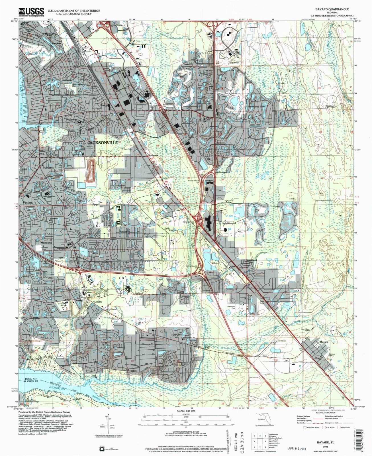
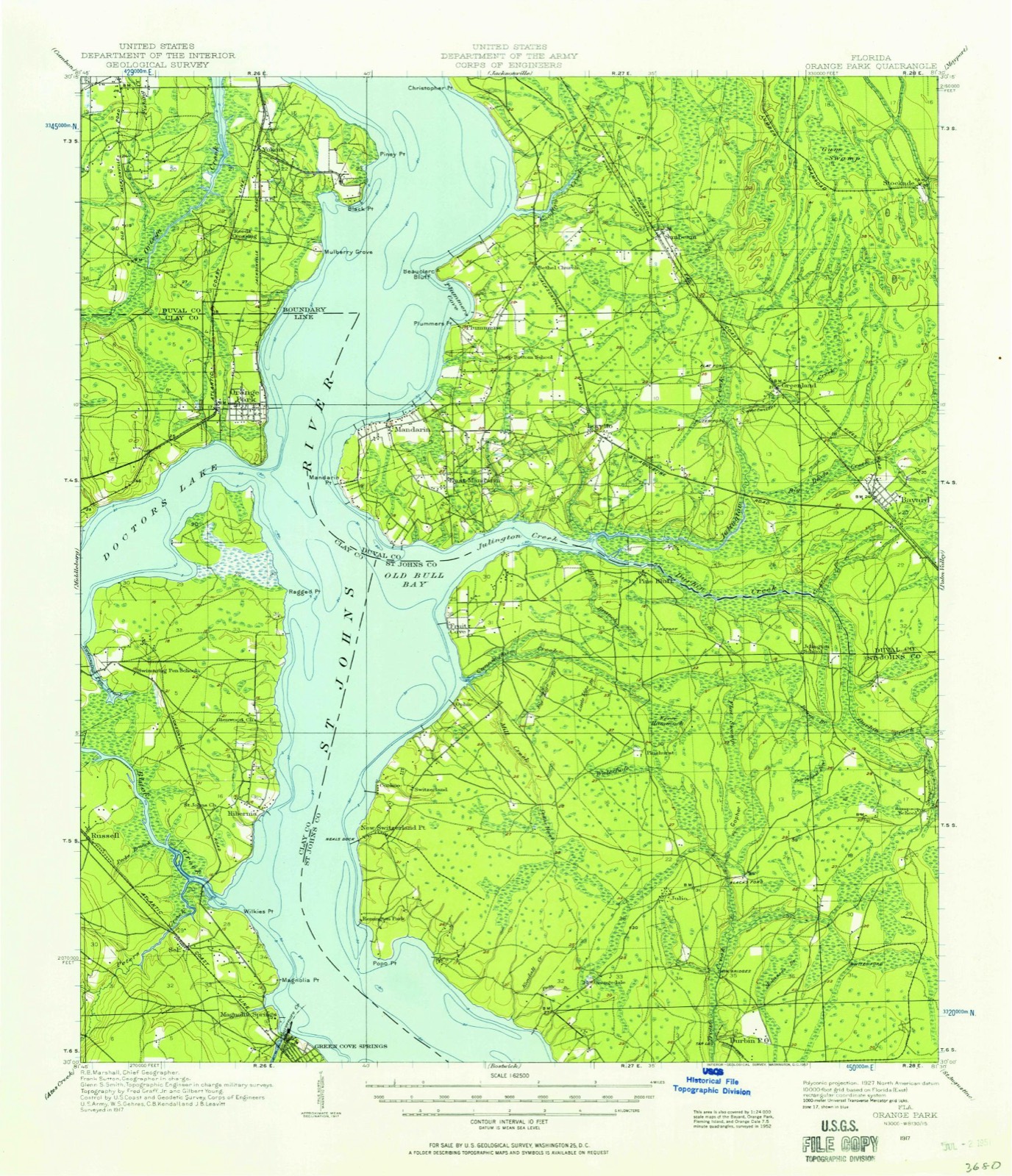
22 topographic sheets cover this place, the earliest surveyed in 1917 and the latest in 1994. It stands in the Jacksonville East census division. It lies in ZIP code area 32217. It stands on Goodbys Creek. The Survey maps it on the Bayard quadrangle.
Then and now
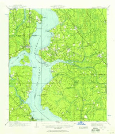
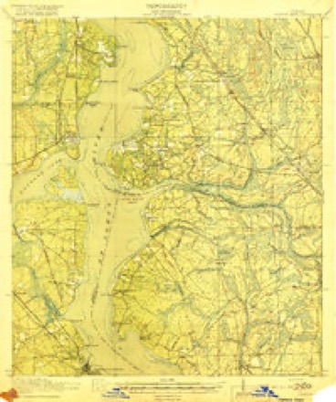
1917 to 1994The same ground, surveyed 77 years apart. Drag the handle to wipe between them. Both sheets are United States Geological Survey originals; neither has been altered.
Compare 1917 against another survey:
On record in San Jose
Buildings and businesses the archive holds for this place. Each opens its own page, with the source record it came from.
On the National Register within a mile 12 of 24 shown
The National Register names another town for these. They stand within one mile of this settlement's coordinate.
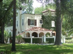 House at 3703 Via de la Reinalisted 1985 · 0.1 miles away
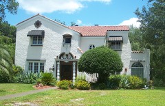 House at 3685 Via de la Reinalisted 1985 · 0.3 miles away
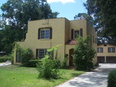 House at 3764 Ponce de Leon Avenuelisted 1985 · 0.3 miles away
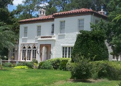 House at 3609 Via de la Reinalisted 1985 · 0.5 miles away
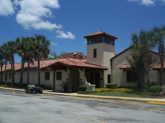 San Jose Country Clublisted 1985 · 0.5 miles away
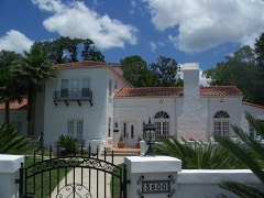 House at 3500 Via de la Reinalisted 1985 · 0.6 miles away
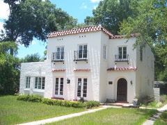 House at 7306 St. Augustine Roadlisted 1985 · 0.6 miles away
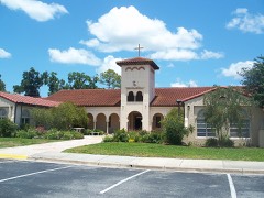 San Jose Administration Buildinglisted 1985 · 0.6 miles away
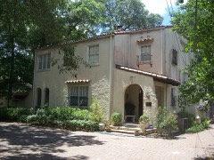 House at 7246 St. Augustine Roadlisted 1985 · 0.6 miles away
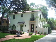 House at 7217 Ventura Avenuelisted 1985 · 0.7 miles away
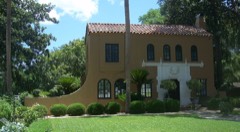 House at 7207 Ventura Avenuelisted 1985 · 0.7 miles away
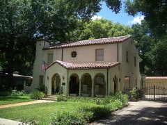 House at 7330 Ventura Avenuelisted 1985 · 0.7 miles away
Topographic sheets covering this place
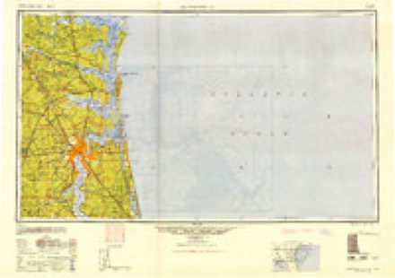
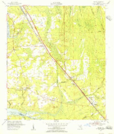
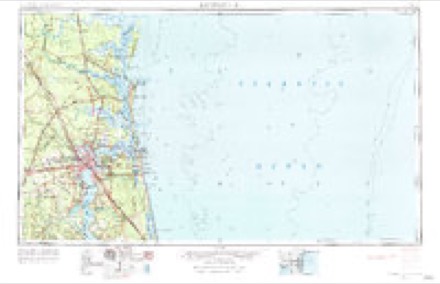
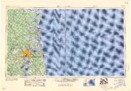
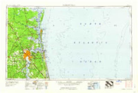
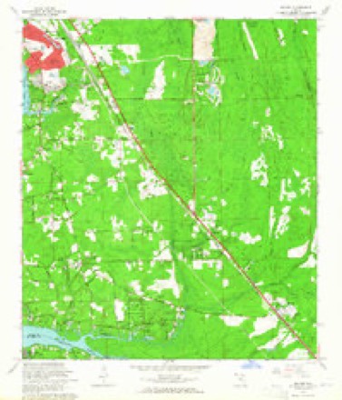
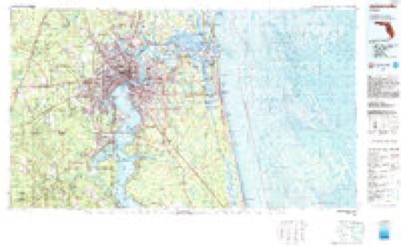
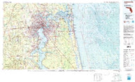
13 surveys from 22 printed sheetsMatched by testing this settlement's coordinate against the published boundary of every sheet in the United States Geological Survey's historical collection. Each opens the scanned sheet at the Survey.
- 1917 USGS Orange Park quadrangle1:62500
- 1918 USGS Orange Park quadrangle1:62500, 5 printings
- 1948 USGS Jacksonville quadrangle1:250000
- 1952 USGS Bayard quadrangle1:24000
- 1957 USGS Jacksonville quadrangle1:250000, 3 printings
- 1959 USGS Jacksonville quadrangle1:250000
- 1960 USGS Jacksonville quadrangle1:250000
- 1964 USGS Bayard quadrangle1:24000, 3 printings
- 1977 USGS Jacksonville quadrangle1:100000
- 1980 USGS Jacksonville quadrangle1:100000
- 1988 USGS Jacksonville quadrangle1:250000
- 1993 USGS Bayard quadrangle1:24000, 2 printings
- 1994 USGS Bayard quadrangle1:24000
Fires near this place
48 since 1993Regional context, not property-specific evidence. The federal wildfire occurrence database lists 48 fires within 5 miles of San Jose between 1993 and 2017, burning about 158 acres in total. 4 started naturally. 9 were recorded as arson. Distance is straight-line from the map coordinates, so a fire counted here may appear on a neighbouring settlement's page as well.
| Reported cause | Fires |
|---|---|
| Equipment and vehicle use | 16 |
| Misuse of fire by a minor | 12 |
| Arson/incendiarism | 9 |
| Natural | 4 |
| Railroad operations and maintenance | 2 |
| Missing data/not specified/undetermined | 2 |
| Fireworks | 1 |
| Debris and open burning | 1 |
| Recreation and ceremony | 1 |
The most recent of them, most recent first, with the day each was reported and the service that recorded it.
| Date | Cause | Size | Reported by | Name on the report |
|---|---|---|---|---|
| 2 September 2011 | Misuse of fire by a minor | 1.0 acres | Florida Forest Service | SAN DIEGO 2 (16) |
| 29 August 2011 | Arson/incendiarism | under an acre | Florida Forest Service | SAN DIEGO(16) |
| 2 August 1993 | Railroad operations and maintenance | 5.0 acres | Florida Forest Service | not named |
| 1 August 1999 | Natural | 1.0 acres | Florida Forest Service | not named |
| 9 July 1998 | Equipment and vehicle use | under an acre | Florida Forest Service | not named |
| 12 July 1998 | Natural | 3.0 acres | Florida Forest Service | not named |
| 6 June 2015 | Misuse of fire by a minor | 3.0 acres | Florida Forest Service | ANDERS RD (16) |
| 4 June 1993 | Equipment and vehicle use | 2.5 acres | Florida Forest Service | not named |
Settlements close enough to share some of these fires:
Storms near this place
9 since 1995Regional context, not property-specific evidence. The National Weather Service names San Jose in 9 storm reports between 1995 and 2025: 3 thunderstorm wind, 2 tornado, 2 lightning, 1 funnel cloud. No death or injury is recorded in these reports. Each account below is quoted exactly as the forecast office filed it, from the NOAA Storm Events Database, and each date opens the federal record of that event.
| When | Event | Place named | Harm | What the report says |
|---|---|---|---|---|
| June 2017 | Lightning | San Jose | $30,000 | A home was struck by lightning. Smoke was coming from the refrigerator. The cost of damage was unknown, but it was estimated for Storm Data. |
| September 1995 | Tornado (F0) | San Jose | $25,000 | Tornado downed trees, damaged one home, and several autos at Point Pleasant Road and San Jose; then moved east across a marsh just north of JT Butler Boulevard. |
| August 2018 | Lightning | San Jose | $200 | A tree was struck by lightning along Sanchez Road. The cost of damage was estimated for inclusion of the event in Storm Data. The time of damage was based on lightning data. |
| May 2025 | Thunderstorm Wind | San Jose | - | A photo was shared via social media of a large branch | down near Smullian Trail near San Jose. The time of damage was estimated via radar. |
| August 2025 | Thunderstorm Wind | San Jose | - | A tree was blown down on powerlines at 7461 Phillips Highway. The time of damage was based on radar data. |
| August 2025 | Thunderstorm Wind | San Jose | - | Several downed trees and powerlines were observed at Old Kings Rd and San Clerc Rd. Several unanchored storage sheds were overturned and fencing damaged along Old Kings Rd. |
| July 2021 | Tornado (EF1) | San Jose | - | A cyclonic supercell storm within an outer rain band of TS Elsa's east side produced two tornado touchdowns. The first touchdown occurred in south-central Duval County and then over eastern Camden County in SE Georgia. This report will focus on the Duval County damage. A NWS Storm Survey found that the tornado initially touched down along San Ardo Drive, just NE of Beauclerc. Large tree branches were snapped and damage occurred to residences near Goodby's Creek. The tornado continued to track northward through San Jose with EF-1 damage noted along Old King's Road South and Powers Avenue, just west of Baker-Skinner Park where several trees were completely uprooted. One large pine tree was snapped and fell over a deck at the Heron Walk Apartment Complex. The tornado reached it's peak intensity and width as it crossed Phillips Highway and moved along Bowdendale Avenue where significant damage was noted to several industrial buildings. Damage to the buildings included metal siding ripped off and roofs peeled back, with debris lofted to the top of a nearby radio antenna tower. The tornado crossed Interstate 95 near the Bowden Road interchange, where large tree branches snapped and more roof damage occurred alogn Spring Park Road. The tornado weakened as it impacted University Christian School and then just northeast of Englewood High School, where tree branches were snapped along Daryl Road. |
| April 2017 | Hail | San Jose | - | Quarter size hail was reported at the San Jose Country Club. |
| August 2004 | Funnel Cloud | San Jose | - | no account filed |
Nearest settlements
The eight closest, with where each one stands in the county. Distances are straight-line, computed from the Geographic Names Information System coordinates.
| Map | Place | Distance | Sheets |
|---|---|---|---|
| San Jose Forest | 0.9 miles | 21 | |
| Lakewood | 1.6 miles | 21 | |
| Bowden | 1.6 miles | 23 | |
| San Nicolas Palica (historical) | 1.7 miles | 23 | |
| Larsen | 2.6 miles | 21 | |
| Pineland Gardens | 2.7 miles | 23 | |
| Goodbys | 2.8 miles | 22 | |
| Beauclerc | 3.1 miles | 24 |
Provenance
This settlement is recorded in the Geographic Names Information System as feature 290477. The sheet list is computed by point-in-boundary test against the United States Geological Survey's historical topographic inventory. Both are works of the United States government and carry no copyright under 17 U.S.C. 105.
Wildfire. Short, Karen C. 2022. Spatial wildfire occurrence data for the United States, 1992-2020 [FPA_FOD_20221014]. 6th Edition. Fort Collins, CO: Forest Service Research Data Archive. https://doi.org/10.2737/RDS-2013-0009.6 Collected with United States Government funding and usable without additional permissions or fees.
Storms. NOAA National Centers for Environmental Information, Storm Events Database https://www.ncei.noaa.gov/stormevents/ A work of the United States government, no copyright under 17 U.S.C. 105. Narratives are quoted verbatim from the National Weather Service report and are not edited or summarised.