 Block
BlockClearwater Beach, Florida
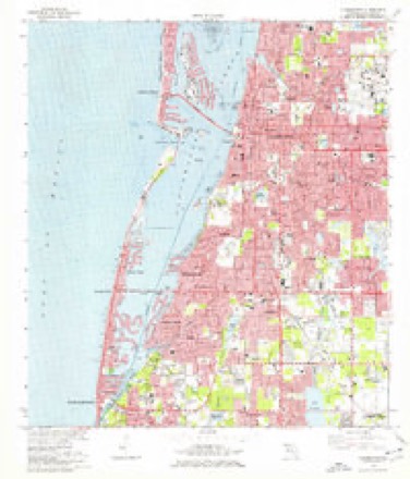
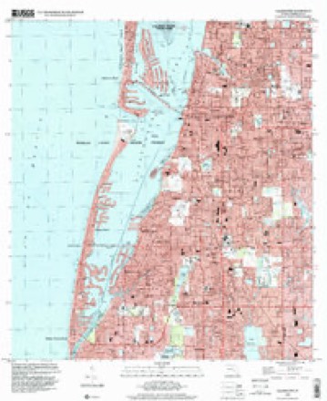
15 topographic sheets cover this place, the earliest surveyed in 1921 and the latest in 1995. It stands in the Clearwater census division. It lies in ZIP code area 33767. It lies near Pasadees Key. The Survey maps it on the Clearwater quadrangle.
Then and now
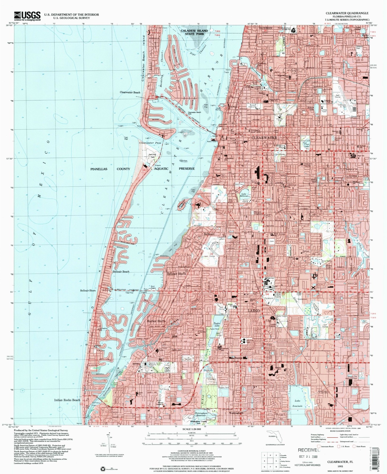
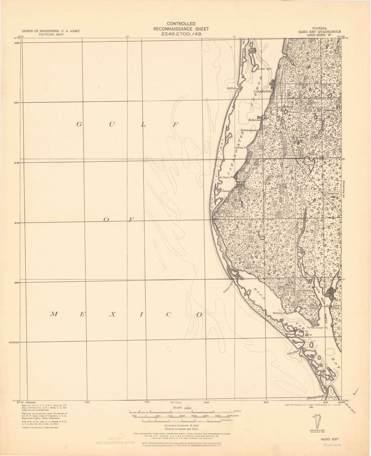
1921 to 1995The same ground, surveyed 74 years apart. Drag the handle to wipe between them. Both sheets are United States Geological Survey originals; neither has been altered.
Compare 1921 against another survey:
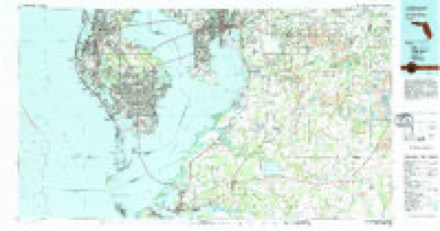
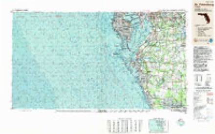
Topographic sheets covering this place
10 surveys from 15 printed sheetsMatched by testing this settlement's coordinate against the published boundary of every sheet in the United States Geological Survey's historical collection. Each opens the scanned sheet at the Survey.
- 1921 USGS Sand Key quadrangle1:62500
- 1943 USGS Clearwater quadrangle1:24000, 3 printings
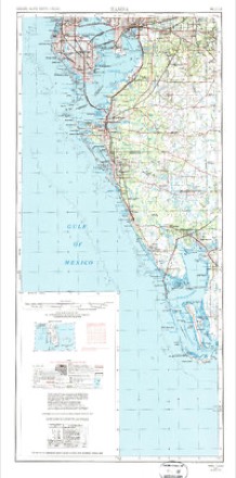
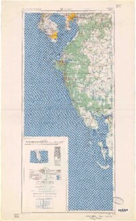
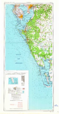
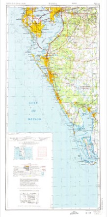
- 1956 USGS Tampa quadrangle1:250000, 2 printings
- 1959 USGS Tampa quadrangle1:250000
- 1960 USGS Tampa quadrangle1:250000, 2 printings
- 1972 USGS Tampa quadrangle1:250000
- 1974 USGS Clearwater quadrangle1:24000, 2 printings
- 1981 USGS St Petersburg quadrangle1:100000
- 1988 USGS St Petersburg quadrangle1:250000
- 1995 USGS Clearwater quadrangle1:24000
Fires near this place
1 since 1993Regional context, not property-specific evidence. The federal wildfire occurrence database lists 1 fire within 5 miles of Clearwater Beach in 1993, burning about 15 acres in total. None started naturally. None was recorded as arson. Distance is straight-line from the map coordinates, so a fire counted here may appear on a neighbouring settlement's page as well.
| Reported cause | Fires |
|---|---|
| Equipment and vehicle use | 1 |
The most recent of them, most recent first, with the day each was reported and the service that recorded it.
| Date | Cause | Size | Reported by | Name on the report |
|---|---|---|---|---|
| 11 May 1993 | Equipment and vehicle use | 15 acres | Florida Forest Service | not named |
Settlements close enough to share some of these fires:
Storms near this place
12 since 1996Regional context, not property-specific evidence. The National Weather Service names Clearwater Beach in 12 storm reports between 1996 and 2023: 4 thunderstorm wind, 4 lightning, 2 waterspout, 2 tornado. The reports record 1 death and 18 injuries. Each account below is quoted exactly as the forecast office filed it, from the NOAA Storm Events Database, and each date opens the federal record of that event.
| When | Event | Place named | Harm | What the report says |
|---|---|---|---|---|
| July 2019 | Lightning | Clearwater Beach | 1 killed, 7 hurt | Numerous local TV stations reported 8 injuries due to a lightning strike along Clearwater Beach. One man in his 30s suffered a direct strike and went into cardiac arrest. He was sent to the hospital in critical condition where he ultimately died three days later. Three others were taken to the same hospital. A fifth was taken to Tampa General Hospital to be treated for burns. The remaining three opted not to go to the hospital. |
| July 2005 | Lightning | Clearwater Beach | 5 hurt | A could-to-water lightning strike injured 5 people, two critically. The bolt struck near one male and lifted him out of the water. The man became unconscious and was rescued by bystanders who performed CPR. Two others nearby also were unconscious after the strike and had to be pulled to safety. |
| August 2000 | Thunderstorm Wind | Clearwater Beach | 3 hurt, $1,000 | Thunderstorm wind gusts, estimated up to 50 mph, collapsed a large special events tent which injured three people at the Clearwater Beach Hilton Resort. |
| July 2020 | Lightning | Clearwater Beach | 2 hurt | Lightning strike on Clearwater Beach struck two people. Both went to the hospital with one in critical condition and the other in stable condition. |
| July 2014 | Lightning | Clearwater Beach | 1 hurt | A local TV station relayed a report of a 50 year old man injured by a lightning strike while walking on the beach in Sand Key. He was not struck directly but was very near the strike and was transported to the hospital for non-life threatening injuries. |
| October 2023 | Tornado (EF2) | Clearwater Beach | $500,000 | Tornadic waterspout came ashore, becoming a tornado near northern Clearwater Beach and continued across the Dunedin Channel before again coming ashore near Dunedin, near the intersection of the Dunedin Causeway and Hwy 19. Multiple homes in Clearwater Beach and Dunedin suffered at least minor roof damage, with a multi-story condominium building in Dunedin losing over a third of its roof along with part of the side wall, which was tossed about 500 yards away. A nearby strip mall also experienced partial roof loss and ensuing water damage, with a few damaged or destroyed concrete poles in its parking lot. Additionally, at least 3 other homes received mainly roof damage before the tornado dissipated just east of U.S. Hwy 19. |
| April 1996 | Thunderstorm Wind | Clearwater Beach | $250,000 | no account filed |
| April 2016 | Tornado (EF0) | Clearwater Beach | $5,000 | The Clearwater Beach police department reported seeing a waterspout move ashore and quickly dissapating after moving on land. Damage was confined to power lines and tree branches being knocked down. The time of the tornado was estimated from doppler radar signatures. |
| January 2019 | Thunderstorm Wind | Clearwater Beach | - | The NOS/CO-OPs station at Clearwater Beach recorded a 51 knot thunderstorm wind gust. |
| December 2007 | Thunderstorm Wind | Clearwater Beach | - | A 68 knot wind gust was measured at Clearwater Beach. |
| November 2000 | Waterspout | Clearwater Beach | - | Several pilots reported a waterspout one mile west of Clearwater Beach, Florida. |
| May 1999 | Waterspout | Clearwater Beach | - | A Skywarn Spotter reported a waterspout two miles northwest of Clearwater Beach. |
Nearest settlements
The eight closest, with where each one stands in the county. Distances are straight-line, computed from the Geographic Names Information System coordinates.
| Map | Place | Distance | Sheets |
|---|---|---|---|
| Clearwater | 1.7 miles | 15 | |
| Belleair | 3.1 miles | 15 | |
| Belleair Beach | 3.8 miles | 15 | |
| Belleair Bluffs | 3.9 miles | 15 | |
| Dunedin Isles | 4.0 miles | 17 | |
| Dunedin | 4.2 miles | 17 | |
| Belleair Shores | 4.3 miles | 15 | |
| Harbor Bluffs | 4.7 miles | 15 |
Provenance
This settlement is recorded in the Geographic Names Information System as feature 280544. The sheet list is computed by point-in-boundary test against the United States Geological Survey's historical topographic inventory. Both are works of the United States government and carry no copyright under 17 U.S.C. 105.
Wildfire. Short, Karen C. 2022. Spatial wildfire occurrence data for the United States, 1992-2020 [FPA_FOD_20221014]. 6th Edition. Fort Collins, CO: Forest Service Research Data Archive. https://doi.org/10.2737/RDS-2013-0009.6 Collected with United States Government funding and usable without additional permissions or fees.
Storms. NOAA National Centers for Environmental Information, Storm Events Database https://www.ncei.noaa.gov/stormevents/ A work of the United States government, no copyright under 17 U.S.C. 105. Narratives are quoted verbatim from the National Weather Service report and are not edited or summarised.