 Block
BlockClearwater, Florida
15 topographic sheets cover this place, the earliest surveyed in 1921 and the latest in 1995. It stands in the Clearwater census division. It lies in ZIP code area 33755. It lies near Pasadees Key. The Survey maps it on the Clearwater quadrangle. 117,292 people lived here at the 2020 count. It stands 30 feet above sea level.
Research this city
Then and now
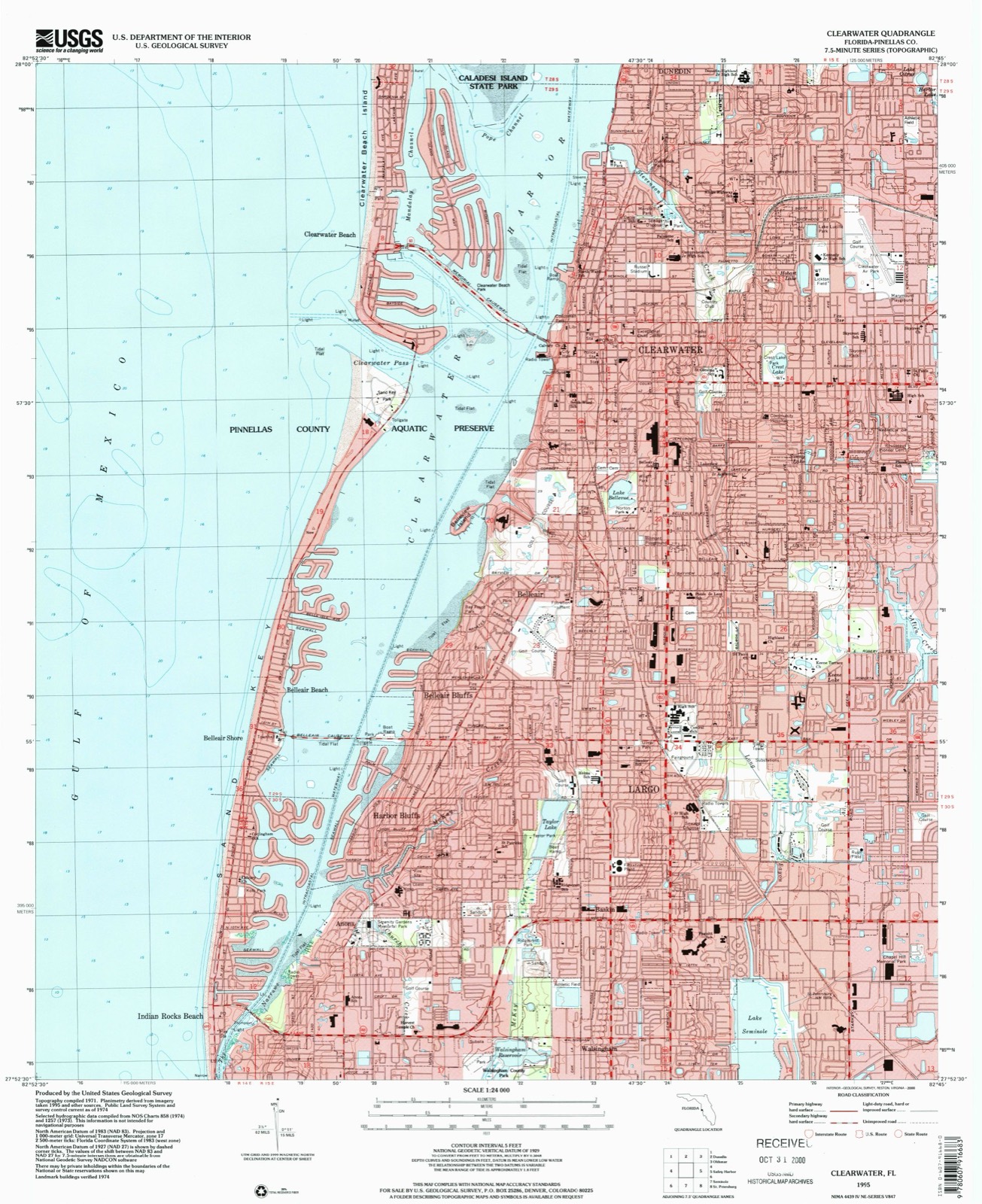
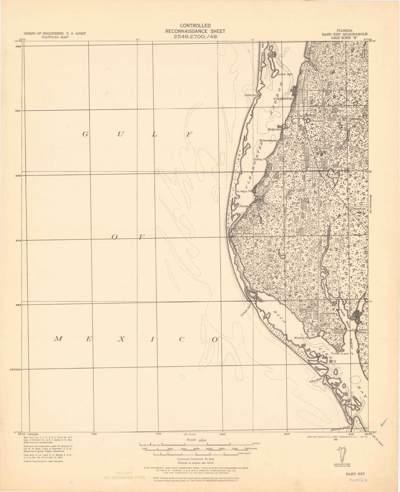
1921 to 1995The same ground, surveyed 74 years apart. Drag the handle to wipe between them. Both sheets are United States Geological Survey originals; neither has been altered.
Compare 1921 against another survey:
On record in Clearwater
Buildings and businesses the archive holds for this place. Each opens its own page, with the source record it came from.
On the National Register 9 records
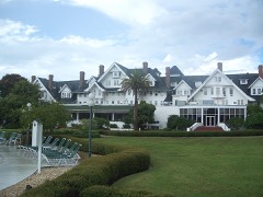 Belleview-Biltmore Hotellisted 1979
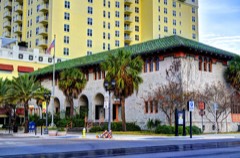 Cleveland Street Post Officelisted 1980
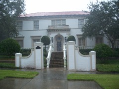 Harbor Oaks Residential Districtlisted 1988
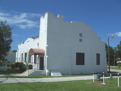 Mount Olive African Methodist Episcopal Churchlisted 2000
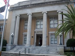 Pinellas County Courthouse, Oldlisted 1992
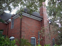 Donald Roebling Estatelisted 1979
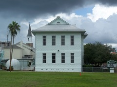 South Ward Schoollisted 1979
- House at 827 Mandalay Avenuelisted 2021
- North Ward Schoollisted 2021
Population over time
2 figuresClearwater grew from 107,685 to 117,292 between 2010 and 2020. These are the recorded population figures Wikidata holds for this place, reached through the Geographic Names Information System number this page is keyed on rather than by name, so they belong to this place and not to another of the same name. Most are census counts, but not all are: an early figure may be a founding or settlement estimate, and an estimate published within five years of a census is left out. The change column is computed, and is left blank where more than 20 years separate a figure from the one before it, because a gap that long is not a change between two counts.
| Year | People | Change |
|---|---|---|
| 2010 | 107,685 | |
| 2020 | 117,292 | +9,607 (+9%) |
Topographic sheets covering this place
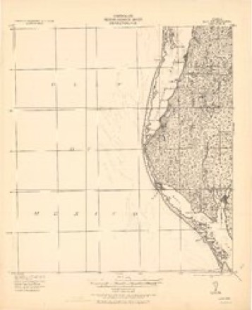
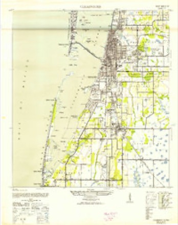
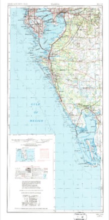
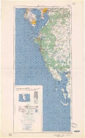
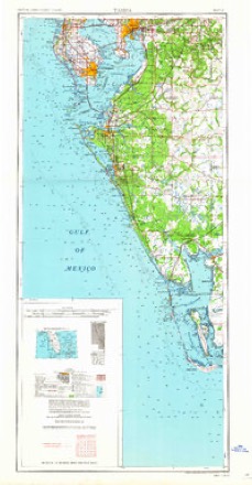
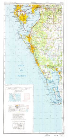
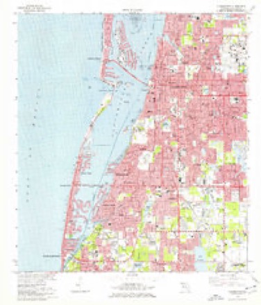
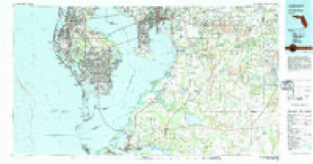
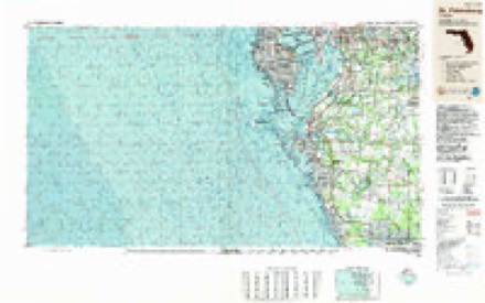
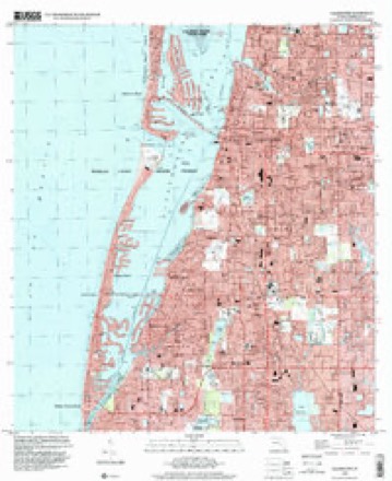
10 surveys from 15 printed sheetsMatched by testing this settlement's coordinate against the published boundary of every sheet in the United States Geological Survey's historical collection. Each opens the scanned sheet at the Survey.
- 1921 USGS Sand Key quadrangle1:62500
- 1943 USGS Clearwater quadrangle1:24000, 3 printings
- 1956 USGS Tampa quadrangle1:250000, 2 printings
- 1959 USGS Tampa quadrangle1:250000
- 1960 USGS Tampa quadrangle1:250000, 2 printings
- 1972 USGS Tampa quadrangle1:250000
- 1974 USGS Clearwater quadrangle1:24000, 2 printings
- 1981 USGS St Petersburg quadrangle1:100000
- 1988 USGS St Petersburg quadrangle1:250000
- 1995 USGS Clearwater quadrangle1:24000
Fires near this place
6 since 1992Regional context, not property-specific evidence. The federal wildfire occurrence database lists 6 fires within 5 miles of Clearwater between 1992 and 2016, burning about 22 acres in total. None started naturally. 1 was recorded as arson. Distance is straight-line from the map coordinates, so a fire counted here may appear on a neighbouring settlement's page as well.
| Reported cause | Fires |
|---|---|
| Misuse of fire by a minor | 2 |
| Power generation/transmission/distribution | 1 |
| Railroad operations and maintenance | 1 |
| Arson/incendiarism | 1 |
| Equipment and vehicle use | 1 |
The most recent of them, most recent first, with the day each was reported and the service that recorded it.
| Date | Cause | Size | Reported by | Name on the report |
|---|---|---|---|---|
| 11 May 1993 | Equipment and vehicle use | 15 acres | Florida Forest Service | not named |
| 23 March 2000 | Railroad operations and maintenance | 2.0 acres | Florida Forest Service | not named |
| 20 March 1996 | Misuse of fire by a minor | 2.0 acres | Florida Forest Service | not named |
| 18 February 2013 | Arson/incendiarism | under an acre | Florida Forest Service | MOCCASIN LAKE (52) |
| 5 December 2016 | Power generation/transmission/distribution | 2.0 acres | Florida Forest Service | EAST BAY DRIVE (52) |
| 13 December 1992 | Misuse of fire by a minor | 1.0 acres | Florida Forest Service | not named |
Settlements close enough to share some of these fires:
Mines and quarries near this place
1 within 5 milesRegional context, not property-specific evidence. The federal mineral resources record lists 1 working within 5 miles of Clearwater: 1 past producer. None of them still produces. What was taken out: Sand and Gravel, Construction. Distance is straight-line from the map coordinates, so a quarry counted here may appear on a neighbouring settlement's page as well.
| Where | Site | Commodity | Status | Recorded |
|---|---|---|---|---|
| Largo Sand and Gravel Pit | Sand and Gravel, Construction | Past Producer |
Storms near this place
59 since 1995Regional context, not property-specific evidence. The National Weather Service names Clearwater in 59 storm reports between 1995 and 2025: 20 lightning, 13 thunderstorm wind, 7 hail, 6 flood. The reports record 2 deaths and 6 injuries. Each account below is quoted exactly as the forecast office filed it, from the NOAA Storm Events Database, and each date opens the federal record of that event.
| When | Event | Place named | Harm | What the report says |
|---|---|---|---|---|
| August 2001 | Rip Current | Clearwater | 1 killed | A 22 year old male drowned in a rip current 100 feet offshore of Sand Key in Clearwater. |
| June 1996 | Lightning | Clearwater | 1 killed | no account filed |
| July 2003 | Lightning | Clearwater | 3 hurt | Three road construction workers were struck by lightning at the corner of U.S. 19 and Drew Street while standing under a large oak tree. All three were transported to a hospital and complained about internal pain, uncontrollable twitching, and numbness. |
| September 2002 | Lightning | Clearwater | 1 hurt | A 79 year old female was transported to the hospital after being struck by lightning at her home. |
| July 1997 | Lightning | Clearwater | 1 hurt | A 32 year old male was injured by lightning while leaning up against his kitchen sink. The lightning struck outside his apartment, travelled through underground pipes, then up into the apartment to the sink. The 275 pound man was thrown over four feet from the electrical discharge while leaning against the steel sink. His injuries consisted of tingles and numbness on the left side of his body. |
| July 1996 | Lightning | Clearwater | 1 hurt | no account filed |
| July 2003 | Lightning | Clearwater | $250,000 | A 1.3 million dollar home just off Enterprise Road in Safety Harbor was struck by lightning. The resulting two alarm fire took 50 firefighters from six departments to put out. |
| July 2003 | Lightning | Clearwater | $179,000 | Sparks were flying out of a power panel in the garage of a Sea Pines Circle home in Countryside after lightning struck the home. The fire in the panel was put out with an fire extinguisher but the fire had already spread into the walls of the home. Eighteen fire trucks responded to the fire but the house was considered a total loss. |
| July 1999 | Lightning | Clearwater | $150,000 | Lightning struck and burned to the ground, a four bedroom home on the 1400 block of Dexter Drive in Clearwater. |
| June 1996 | Lightning | Clearwater | $75,000 | no account filed |
| September 1999 | Flood | Clearwater | $50,000 | Four to six inches of rain in less than four hours caused localized flooding of low-lying streets and areas of poor drainage from Clearwater southeast to St Petersburg in Pinellas county. A few vehicles incurred water damage from flooded roadways in St Petersburg. |
| July 1999 | Lightning | Clearwater | $50,000 | Lightning struck, ignited and destroyed a stationary Cessna 152 aircraft that had landed prior to the onset of a thunderstorm at the Clearwater Executive Airport on Hercules Avenue (C.R. 425). |
| July 1998 | Flood | Clearwater | $50,000 | Six to eight inches of heavy rain in less than three hours caused localized flooding of roadways and low lying areas from Clearwater to Dunedin. A few vehicles incurred water damage in the Doral Village mobile home park and the Meese Dunedin Hospital suffered minor damage from the floodwaters. |
| May 2003 | Thunderstorm Wind | Clearwater | $40,000 | Several large trees were downed by thunderstorm winds. One large oak tree fell into a parking lot and damaged three vehicles. |
| April 2003 | Thunderstorm Wind | Clearwater | $40,000 | Thunderstorms rolled in from the Gulf of Mexico Friday evening bringing damaging winds and rain that blew away vendors' tents at the Smooth Jazz Fest and left two inches of rain on the stage. The winds also caused major damage to the roof of a police substation on South Greenwood Avenue as the communication tower was toppled. |
| June 2020 | Tornado (EF0) | Clearwater | $30,000 | Social media picture of trees on vehicles on Long Street near Ridge Ave. More trees downed near Gentry St. and Ridge Ave. Also damage near North Keene road and Sunset Point Rd, garage wall pushed in and additional tree damage. |
| June 2010 | Lightning | Clearwater | $30,000 | Lightning struck a tree and caused it to fall on a house on Flora Road. There was significant damage to the house. |
| July 2003 | Lightning | Clearwater | $30,000 | Lightning struck a home on Bay Hills Boulevard and ignited a blaze in the attic. |
| April 1997 | Thunderstorm Wind | Clearwater | $30,000 | Thunderstorm winds downed several trees and power lines from Clearwater east across the county to St Petersburg. |
| August 1996 | Lightning | Clearwater | $30,000 | no account filed |
| July 1999 | Thunderstorm Wind | Clearwater | $25,000 | Thunderstorms winds removed part of an aluminum canopy from a commercial buildings roof, smashed a store front sign and snapped the jib of a sailboat along the 100 block of Seminole Street in Clearwater. |
| August 1998 | Thunderstorm Wind | Clearwater | $20,000 | A local television station reported that thunderstorm winds downed several large trees and toppled a tree atop a vehicle in Clearwater. |
| August 1996 | Flood | Clearwater | $20,000 | no account filed |
| July 1998 | Flood | Clearwater | $15,000 | Heavy rain of three to four inches in less than two hours caused localized flooding of low lying areas along the U.S. Highway 19 corridor from Clearwater north to Tarpon Springs. |
| August 2022 | Lightning | Clearwater | $10,000 | Call center received report of a lightning strike to a transformer causing a minor fire in Clearwater. |
| January 1997 | Thunderstorm Wind | Clearwater | $10,000 | Thunderstorm winds of 50 mph caused minor damage to seven mobile homes at the Twin Palms Mobile Home Park on the northeast intersection of State Road 60 and Belcher Avenue. The damage was confined to broken windows and wind ripped aluminum siding along the corners of the mobile homes. |
| October 1997 | Flood | Clearwater | $10,000 | Four to six inches of rain caused localized flooding of streets over the Tampa/St. Pete metropolitan areas. A few cars stalled by urban floodwaters received water damage. |
| June 2013 | Lightning | Clearwater | $5,000 | The Pinellas County 911 call center reported a small fire in a house on Pine Place in Clearwater caused by a lightning strike. |
| March 2000 | Wildfire | Clearwater | $5,000 | A wildfire consumed ten to fifteen acres of brush and timber on the east side of McMullen Park near the intersection of U.S. Highway 19 and State Road 60 in Clearwater. One home incurred minor damage from the wildfire. |
| April 1997 | Lightning | Clearwater | $5,000 | Lightning struck and damaged the roof and interior ceiling of a home in Safety Harbor. |
| April 1996 | Thunderstorm Wind | Clearwater | $5,000 | no account filed |
| November 1996 | Tornado (F0) | Clearwater | $5,000 | no account filed |
| August 2002 | Lightning | Clearwater | $3,000 | Lightning started a fire at a home that was quickly put out. |
| January 2017 | Thunderstorm Wind | Clearwater | $2,000 | Broadcast media reported multiple trees down and in the road near intersection of North Hercules Avenue and Ridgewood Dr. |
| October 1997 | Tornado (F0) | Clearwater | $2,000 | A tornado briefly touched down and uprooted a few trees, twisted a couple of stop signs and downed a couple of power lines on Caladesi Island State Park. |
| April 1996 | Thunderstorm Wind | Clearwater | $2,000 | no account filed |
| May 2025 | Lightning | Clearwater | $1,000 | County EM relayed report of a lightning strike to a home in Clearwater, with only minor damage and no injuries reported. |
| July 1995 | Thunderstorm Wind | Clearwater | $1,000 | Thunderstorm winds of 40 to 50 mph caused the carport of a mobile home to collapse at the Ranchero Mobile Home Park in Largo. |
| July 1995 | Thunderstorm Wind | Clearwater | $1,000 | Thunderstorm winds downed a 40-foot double light pole, and a few power lines, at the junction of Brookerlake Parkway and Eastlake Road. |
| July 2015 | Lightning | Clearwater | - | A lightning strike hit the chimney of a home located on Farrier Trail in Clearwater. Upon arrival, firefighters had to make some small holes in the ceiling of the home to investigate if anything was on fire or not. No fire resulted from the strike. |
| July 2013 | Heavy Rain | Clearwater | - | Largo Police Department reported Belchar Road was closed from Ulmerton Road to 142nd Avenue with an estimated 2 feet of water on the road. Additionally, an estimated 3 feet of water covered Floral Drive and 36th Street Southeast. |
| May 2009 | Tornado (EF0) | Clearwater | - | The public had photographic evidence of a tornado in west Clearwater that dissipated just before moving offshore. No damage was reported along the path. |
| July 2008 | Heavy Rain | Clearwater | - | A trained spotter reported 4.50 inches of rain in ten hours. |
| June 2002 | Thunderstorm Wind | Clearwater | - | Tops of trees sheared off and 10 inch limbs snapped off |
| July 2002 | Lightning | Clearwater | - | Struck a business and destroyed the phone system. |
| August 2001 | Hail | Clearwater | - | Dime sized hail was reported by an Amateur Radio Operator near the intersection of State Road 590 (Drew Street) and County Road 375 (Highland Avenue) east to U.S. Highway 19 in Clearwater. |
| May 1999 | Hail | Clearwater | - | Dime sized hail was reported by the public at U.S. Highway 19 and County Road 528 (Drew St.) through Pinellas Park cable station Bay News. |
| July 1999 | Hail | Clearwater | - | Golfball sized hail was reported at the Countryside Mall near the intersection of U.S. Highway 19 and State Road 580 (Main Street) by the public through WTSP-TV. |
| July 1999 | Waterspout | Clearwater | - | A short-lived waterspout touched down in Old Tampa Bay near County Road 611 (Bayshore Bridge). |
| July 1999 | Waterspout | Clearwater | - | A well defined and long-lived waterspout was observed to develop approximately 50 yards south of the Memorial Causeway Bridge (State Road 60) in Clearwater Harbor. The waterspout was visible for nearly 20 miles and lasted nearly 10 minutes. Northerly downburst winds from the parent thunderstorm pushed the waterspout south across Clearwater Harbor before it dissipated approximately one mile southwest of Clearwater. |
| May 1999 | Hail | Clearwater | - | Dime sized hail was reported by a Skywarn Spotter at the intersection of 49th Street and Roosevelt in Clearwater. |
| August 1998 | Hail | Clearwater | - | A Skywarn Spotter reported dime sized hail at the intersection of County Road 501 (Belcher Road) and State Road 686 (East Bay Drive). |
| July 1998 | Hail | Clearwater | - | Dime sized hail was reported on Curlew Road between U.S. Highway 19 and Belcher Road by a Skywarn Spotter. |
| April 1997 | Tornado (F0) | Clearwater | - | A short-lived tornado touched down on I-275 (Howard Franklin Bridge) with no apparent damage. |
| October 1997 | Waterspout | Clearwater | - | A waterspout was observed over Safety Harbor. |
| July 1995 | Thunderstorm Wind | Clearwater | - | A 58 mph wind gust was measured by a SKYWARN spotter. |
| May 2003 | Hail | Clearwater | - | no account filed |
| August 1996 | Flood | Clearwater | - | no account filed |
| August 1996 | Waterspout | Clearwater | - | no account filed |
Nearest settlements
The eight closest, with where each one stands in the county. Distances are straight-line, computed from the Geographic Names Information System coordinates.
| Map | Place | Distance | Sheets |
|---|---|---|---|
| Clearwater Beach | 1.7 miles | 15 | |
| Belleair | 2.1 miles | 15 | |
| Belleair Bluffs | 3.2 miles | 15 | |
| Coachman | 3.4 miles | 20 | |
| Belleair Beach | 3.7 miles | 15 | |
| Largo | 3.9 miles | 15 | |
| Dunedin | 4.0 miles | 17 | |
| Harbor Bluffs | 4.2 miles | 15 |
Elsewhere
Matched on this settlement's Geographic Names Information System number rather than its name, so it cannot be a different place of the same name in another state.
| Wikipedia article on Clearwater | An encyclopaedic summary. Its text is share-alike, so it is linked here rather than copied. |
| Wikidata item Q244146 | The structured record the population and elevation above come from. Public domain (CC0). |
Provenance
This settlement is recorded in the Geographic Names Information System as feature 280543. The sheet list is computed by point-in-boundary test against the United States Geological Survey's historical topographic inventory. Both are works of the United States government and carry no copyright under 17 U.S.C. 105.
Wildfire. Short, Karen C. 2022. Spatial wildfire occurrence data for the United States, 1992-2020 [FPA_FOD_20221014]. 6th Edition. Fort Collins, CO: Forest Service Research Data Archive. https://doi.org/10.2737/RDS-2013-0009.6 Collected with United States Government funding and usable without additional permissions or fees.
Mines and quarries. USGS Mineral Resources Data System (MRDS) https://mrdata.usgs.gov/mrds/ A work of the United States government, no copyright under 17 U.S.C. 105.
Storms. NOAA National Centers for Environmental Information, Storm Events Database https://www.ncei.noaa.gov/stormevents/ A work of the United States government, no copyright under 17 U.S.C. 105. Narratives are quoted verbatim from the National Weather Service report and are not edited or summarised.